Two Bob's Heart of the West 2014

Pinelogcreek

Observer
We're there any sections that the Jeep could not follow on? I'd like to do something similar in my Tacoma. Thanks for the awesome posts. Living in Florida you don't find long views unless your on the coast. But you can see all the miles of pine trees you ever want.
 

DYNOBOB

Adventurer
Tony Hugel designed the whole loop to be "big bike" friendly so it's not real technical. The Jeep had no problem with the route and was only in 4WD 5-10% of the time.

.
 

DYNOBOB

Adventurer
Saturday Sept 20 - Day Seven - Brigham City, UT to XCELLENT KAMP1 (waypoint), WY - 238 miles


When planning our segment for this day I knew we wanted to camp, and this waypoint caught my eye. There are two dozen "camp" waypoints within 10 miles of it, but someone made a point of giving this one a unique name - that's good enough for me (DockingPilot's report mentioned it also). So our destination tonight is an 8600' primitive campsite above the Grey's River valley. Yeah baby...


There's a little slab this morning as we head for the very NE corner of Utah. This is not a bad thing though, as US Rt 89 is one of my favorite roads in the country and this adds another piece to what I've ridden.

Rt89.jpg~original


30 minutes into our day, we found our route blocked by a big time marathon.

Joggers.jpg~original


Bummer, we were only a few miles from our turn onto dirt, but it meant we got to ride another beautiful stretch of 89, climbing thru canyons toward Bear Lake Summit. It was chilly (upper 40's) this morning and we were running our heated grips and jackets, I'd recommend you have both if you do this trip in late Sept.

Anyway, we got back on track and did some easy gravel toward Bear Lake. We didn't need fuel so we avoided Garden City and used ALT 8 cutoff.

9-21-14007.jpg~original


DaySeven0.jpg~original


https://www.youtube.com/watch?v=6grHHnaBxbE


On the south end of Bear Lake there's a great picnic area so we stopped for a baloney/ham samitch.

9-22-14128.jpg~original


Once you hit western Wyoming things flatten out for a while, and you're going to be on gravel the rest of the day.

9-21-14015.jpg~original


9-21-14012.jpg~original


9-21-14016.jpg~original


A short distance up the road we pass the famous "teddy bear shrine".

https://www.youtube.com/watch?v=zB5lgrfT6vM

Teddybears.jpg~original


https://www.youtube.com/watch?v=8SCN73RH41A
 

DYNOBOB

Adventurer
Threading thru cows...

https://www.youtube.com/watch?v=6moZXwcFaLA

https://www.youtube.com/watch?v=GDl2rn1UD7A

G0030026.jpg~original


9-21-14018.jpg~original


9-21-14020.jpg~original


9-21-14023.jpg~original


This is a section of the route marked "bad if wet". Near here, we met a weather-worn old local, puttin' along side saddle on a four wheeler. He told us you recently needed to be chained up to get thru here in a four wheel drive. Sure enough, for about 10 miles you could see chain imprints in the road.

https://www.youtube.com/watch?v=Sk5x62u2HSY

DaySeven3.jpg~original


GOPR0073b.jpg%7Eoriginal


9-21-14025.jpg~original


The terrain is constantly changing...

9-21-14029.jpg~original


9-21-14031.jpg~original


9-22-14133.jpg~original


GOPR0078.jpg~original


I'll offer some advise here... The next two shots are near the turn to the alt route that takes us up to our campsite for the night. Right in this area we stopped and looked at a beautiful campsite in a cluster of huge pines right on the creek (possibly GREAT CAMP3). It has a steep 10' drop from the road so it was being passed over by all the hunters with their travel trailers. It was 5:00 and we debated, but decided to stick with XCELLENT KAMP1.

GOPR0093a.jpg~original


GOPR0094.jpg~original


An hour later we realized this was a mistake. What we didn't know, was in 2012 the Fontenelle Fire had burned the area near XCELLENTKAMP1 on the 16a ALT route. It wasn't terrible, but it wasn't pretty. XK1 was occupied anyway. Almost every campsite was occupied by hunters, but we found one about a mile away. Don't get me wrong, camping at 8600' in Wyoming with good weather is not something to complain about, and firewood was very easy to find. :D

9-21-14071.jpg~original


9-21-14059.jpg~original


.
 

DYNOBOB

Adventurer
Sunday Sept 21 - Day Eight - Near XCELLENT KAMP1 to Idaho Falls - 150 miles

Today is an easy day with short miles, so we don't have to rush getting away from camp. As usual, I'm up wandering around at 6:45 - and it's a little chilly.

9-21-14039.jpg~original

(clock is two hours fast)
9-21-14043a.jpg~original


9-21-14044.jpg~original


Fire is feeling pretty good this morning.

9-21-14080.jpg~original


9-21-14073.jpg~original


Mountain House Breakfast Skillet (Wrap) are awesome, cozy keeps them hot...

9-21-14086.jpg~original


Something did some digging last night...

9-21-14046.jpg~original


9-22-14141.jpg~original


Well, I hate to break up the party boys, but there's some rain headin' our way. Maybe we can beat it to Idaho Falls...

9-21-14076a.jpg~original


Today being overcast, we didn't stop a lot for pics. We start out by finishing the ALT 16a track which is the nicest riding of the day.

Riding along Cottonwood Creek.

https://www.youtube.com/watch?v=Y6XVexSh8Kw

https://www.youtube.com/watch?v=qvKeUcQFCng

GOPR0107.jpg~original


GOPR0108.jpg~original


GOPR0116.jpg~original


https://www.youtube.com/watch?v=PtPskI7-fRY

GOPR0117.jpg~original
 

DYNOBOB

Adventurer
McDougal Gap

9-21-14091.jpg~original


9-22-14150.jpg~original


Winding back down to the Greys River.

GOPR0123.jpg~original


GOPR0124.jpg~original


GOPR0126.jpg~original


9-21-14093.jpg~original


Found a nice spot for lunch right on the Greys River.

9-21-14105.jpg~original


Ummm.... Lays.

9-21-14109.jpg~original


The second half of the day was unremarkable. Being a Sunday, we fought dust clouds from departing hunters pulling campers all the way to Alpine. Once there we discovered a closure where the track resumed dirt, and had to slab it a bit to figure out a work around. We got back on track though and headed up into the Palisades, taking the scenic route into Idaho Falls.

Just a few pics from there.

9-21-14114.jpg~original


9-21-14117a.jpg~original


The wind farm was cool.

9-21-14123.jpg~original


https://www.youtube.com/watch?v=5wjhTYUOJ8U

9-21-14125.jpg~original


So, we pulled into town about 4:30 and beat the rain. Got rooms at the GuestHouse Inn (recommend it) and set a time to have dinner with The Legend (Tony).

9-22-14032.jpg~original


It was raining by the time we finished dinner. We've averaged 216 miles/day for the last 8 days, so we've decided to take a rest day tomorrow.

.
 

DYNOBOB

Adventurer
Monday Sept 22 - Day Nine - Rest Day

This one will be quick. Like I said, the GuestHouse Inn is a great spot to stay. Parking in back puts you between the hotel and the Snake River, which has a beautiful riverwalk. There's a decent restaurant across the street, and a Walmart a mile away.

It stopped raining during breakfast and turned into a beautiful day. Our good weather luck continues. First order of business was to wash the bikes (they hooked up a hose for us), then some routine maintenance and several loads of laundry. Made some sandwiches and ate lunch in the back yard. Nice relaxing day, capped off by dinner with Tony again.

9-22-14003.jpg~original


9-22-14010.jpg~original


9-22-14014.jpg~original


9-22-14016.jpg~original


9-22-14019.jpg~original


Air filter cleaning.

9-22-14015.jpg~original


9-22-14008.jpg~original


9-22-14031.jpg~original


By the end of the day, we were really looking forward to getting back on the bikes. Tomorrow we head for Montana...

.
 

DYNOBOB

Adventurer
Tues Sept 23 - Day Ten - Idaho Falls to Bannack Campground - 170 (190) miles


One of my favorite days of the trip, the route today takes us across the agricultural Snake River Plain, then gets very remote as you cross the Continental Divide and Bitterroot Mountains into Montana.

Things started off chilly but sunny, about 15 miles out of town that changed a bit. Apparently there is a geographic bowl in the Snake River Plain, and today it was full of icy fog.

map.jpg~original


For about 30 miles, we rode gravel roads in fog so dense you could barely see the bike in front or behind you. Semis hauling potatoes and occasional ruts in the road kept it interesting too. With glasses and visors fogging up, the squeegee built into my gloves really came in handy, great invention that. We stopped to gas up after 30 minutes of this and they said fog is pretty much a daily occurrence until ~10am.

A few miles later we climbed out of the bowl and the sun reappeared.

9-26-14005.jpg~original


9-26-14006.jpg~original


That is a bunch of alfalfa hay! Thousands of tons.

9-26-14010a.jpg~original


Tony recommended we check out Mahogany Pass, and since we've only got to cover 170 miles today, we gave it a look. It adds about 20 miles to our day, but is a good break from easy gravel roads...

9-27-14d006.jpg~original


https://www.youtube.com/watch?v=mzV3gJaICyQ

GOPR0013.jpg~original


GOPR0015.jpg~original


9-26-14016.jpg%7Eoriginal


Stopped for a snack break approaching the climb to the summit and Jim/Gary decided to wait here. Dad and I went a couple miles farther until it was obvious the top was covered by clouds. This is a great ALT route that Tony provides, on a clear day its well worth the time. It is some of the more technical riding of the route, similar to the passes in Colorado as you near the top.

9-27-14d007a.jpg~original


9-26-14018.jpg~original


9-26-14022.jpg~original


9-26-14021a.jpg~original


9-26-14023.jpg~original


9-26-14023aa.jpg~original


So we head back down to the guys...

https://www.youtube.com/watch?v=MlQB09vACf4

First of may old homesteads we saw today.

9-26-14037.jpg~original


Back at the main track we stopped for lunch. We're heading for the mountains in the background.

9-26-14041a.jpg~original
 

DYNOBOB

Adventurer
Heading into the Bitterroot Range.

9-26-14044.jpg~original


9-26-14042a.jpg~original


9-26-14047.jpg~original


9-26-14050.jpg~original


9-26-14055.jpg~original


9-26-14059.jpg~original


9-26-14063.jpg~original


https://www.youtube.com/watch?v=n87V_Bs3mIg


Maybe my favorite vista of the trip. This is the view you dream of riding your dual sport thru!

9-26-14067.jpg%7Eoriginal


9-26-14064.jpg~original


https://www.youtube.com/watch?v=Lt-WdzpLMcQ

9-26-14104.jpg~original


More homesteads - hard to imagine how remote they must have felt 100 years ago.

9-26-14109.jpg~original


9-26-14111.jpg~original


9-26-14115.jpg~original


9-26-14116.jpg~original


The last 20 miles to Bannack the terrain was looking pretty barren. I was a little concerned what the campground was going to look like... there was also some rain showing on gps.

9-26-14120.jpg~original


https://www.youtube.com/watch?v=qMkGBJLnS40

9-26-14123a.jpg~original


9-26-14127.jpg~original


Nothing to fear, the campground is awesome. Situated in large aspens right on Grasshopper Creek, it has a modern pit toilet but no water/elec/showers. Our luck held on the rain too, got about four drops, and a nice payoff for those...

9-26-14132.jpg~original


9-26-14133.jpg~original


9-26-14138.jpg~original


The right side of the rainbow is dropping right into the Bannack ghost town - we tour it in the morning.

9-26-14145.jpg~original


9-27-14d040.jpg~original


Another off the chart day of riding - temps only dropping into the 40's tonight - the gentle sound of running water - we'll sleep great tonight!

.
 

DYNOBOB

Adventurer
Wed Sept 24 - Day 11 - Bannack Campground to Clover Meadows Campground - 150 miles


I've given us easy miles today since we're breaking camp and setting up again tonight. We also want to wander around the ghost town a while.

Up again early, I walk around the campground, soaking up my first time camping in Montana. Nothing but the sound of water and a bird...

https://www.youtube.com/watch?v=zBUmoPiK4TI

9-26-14149.jpg~original


We're in Vigilante campground....and I feel like something's watching me.

9-26-14153.jpg~original


After breakfast, we walk to the Bannack town site while our tents dry off.

From Wikipedia: Founded in 1862 and named after the local Bannock Indians, it was the site of a major gold discovery in 1862, and served as the capital of Montana Territory briefly in 1864, until the capital was moved to Virginia City. Bannack continued as a mining town, though with a dwindling population. The last residents left in the 1970s.

9-26-14203.jpg~original


9-27-14d114.jpg~original


Hotel Meade, built in 1875 as a courthouse.

9-26-14241.jpg~original


9-27-14d088.jpg~original


9-27-14d089.jpg~original


9-27-14d095.jpg~original


9-27-14d104.jpg~original


Schoolhouse/Masonic Lodge

9-27-14d063.jpg~original


9-26-14253.jpg~original


9-27-14d080.jpg~original


9-26-14271.jpg~original


Church...with Rev. Jim.

9-26-14194.jpg~original


9-26-14189.jpg~original


Jail

9-26-14219.jpg~original


9-26-14223.jpg~original


More Main St.

9-26-14168.jpg~original


9-26-14169.jpg~original


9-26-14179.jpg~original


9-26-14183.jpg~original


9-26-14215.jpg~original


9-26-14213.jpg~original


9-26-14235.jpg~original


Well...back to the campsite to pack up.

9-26-14278.jpg~original
 

DYNOBOB

Adventurer
Let's get riding.... Only stop today is Dillon for fuel, and we spot our first ADV bike of the trip, the F800GS gets away before we speak however. Knowing we're primitive camping again tonight, we grab some supplies and fill up our water jugs.

The 150 miles today is mostly gravel county roads, nothing extraordinary, but gets you to one of the highlights of the route - the Gravelly Range!

9-26-14280a.jpg~original


Maybe 20 miles out of town, I see a bike in the distance and we catch Nick from Missoula on his F800GSA.

9-27-14d128a.jpg~original


He's out riding for a few days, running a similar route to ours but no exact plan. Said goodbye, maybe we'll see you on the trail...

9-27-14d132a.jpg~original


9-26-14313.jpg~original


We pull over for lunch near a cool old homestead.

9-26-14310.jpg~original


9-27-14d135a.jpg~original


9-26-14300.jpg~original


9-26-14305.jpg~original


While eating, we hear a bike, and Nick stops to say Hi.

9-26-14282.jpg~original


9-26-14293.jpg~original


9-26-14298.jpg~original


9-26-14315.jpg~original


GOPR0062.jpg~original


GOPR0063.jpg~original
 

DYNOBOB

Adventurer
Making the turn for the Gravellys

GOPR0069a.jpg~original


https://www.youtube.com/watch?v=VnghTW-j-NI

9-26-14317.jpg~original


You had to pay attention to the ruts in this section or get spit off.

https://www.youtube.com/watch?v=6nH5XYI2-OQ

9-26-14320.jpg~original


Nice campsite here, I believe it's a waypoint marked "good camp_" in Tony's data.

9-26-14321.jpg~original


Also near here, we pass Cottonwood Campground which is very nice, right along a creek with lots of big trees. At 6800', it has pit toilets, no showers, is very sheltered, and you would not regret staying there. We stopped and looked at the Vigilante Cabin, but you have to reserve it well in advance. If you need a full bathroom, electricity, etc this is not a bad place to stay.

On Tony's recommendation, we're going to press on a little higher to the 9000' Clover Meadows campground.

9-26-14323.jpg~original


9-26-14334.jpg~original


9-26-14342.jpg~original


This is indeed a special place. At very nearly the highest elevation in the Gravellys, there is nothing here except one old fashioned pit toilet. No marked campsites, one hunter in his trailer about 1/4 mile away, and plenty of firewood. AWESOME! My only comment would be; if bad weather was expected, you're pretty exposed and might be better off at lower elevation. Our weather luck is holding though, and the temps only dipped into the low 40's overnight.

9-26-14332.jpg~original


9-26-14361.jpg~original


9-26-14377.jpg~original


9-26-14372.jpg~original


Tomorrow we see the real splendor of the Gravellys!
 

DYNOBOB

Adventurer
Thur Sept 25 - Day 12 - Clover Meadows to Coulter Bay Village, WY - 185 miles


Another beautiful day starts with Jim getting a scouting report from our neighbor. Worth noting, he says that in 27yrs of hunting the Gravellys, he's never seen a bear...wish we knew that last night.

9-26-14395.jpg~original


9-26-14389.jpg~original


9-26-14396.jpg~original


We hate to leave this place, but the trail calls.

The first 15 miles today are stunning, a highlight of the trip for sure.

9-26-14397.jpg~original


9-26-14398b.jpg~original


9-26-14398.jpg~original


9-26-14399a.jpg~original


https://www.youtube.com/watch?v=nolmhQsUP3A

9-26-14402.jpg~original


9-26-14403.jpg~original


GOPR0082.jpg~original


https://www.youtube.com/watch?v=Tdr5Q352zT8

9-26-14405.jpg~original


9-26-14409a.jpg~original


9-26-14408.jpg~original


9-26-14412.jpg~original


https://www.youtube.com/watch?v=2KLEtNYTDOY

9-26-14413.jpg~original


GOPR0098.jpg~original


9-26-14418.jpg~original


9-26-14419a.jpg~original


https://www.youtube.com/watch?v=MsVkq3zd4tM

Well, that's the Gravelly Range. Without Tony and Frank I'd never have heard of it! Thanks Guys! :clap


Now we're heading south to the Teton Range.

9-26-14426.jpg~original


9-26-14427.jpg~original


GOPR0144.jpg~original


GOPR0148.jpg~original


GOPR0149.jpg~original


9-26-14434.jpg~original


9-26-14435.jpg~original


https://www.youtube.com/watch?v=r19Qulqs7K4
 

DYNOBOB

Adventurer
Lunch time, another chance to soak it in...

9-26-14441.jpg~original


9-26-14449.jpg~original


9-26-14450.jpg~original


9-26-14460.jpg~original


Back underway, we cross the Continental Divide for the 4th time on the trip...

9-26-14464.jpg~original


...and sneak up on the west slope of the Grand Tetons.

9-26-14467.jpg~original


9-26-14466.jpg~original


Just a few miles after ^this^ shot, I was flagged down by a guy hiking toward me on the road. It's Nick from Missoula but I didn't recognize him without his bike gear on. His bike is a mile up the road with a flat tire... Well, He must be livin' right, it's 20 miles to town and we come by with mobile roadside assistance.

We break out my 5gal bucket of tire stuff and Gary offers his spare 17" tube. Nick was new to this so we showed him the ropes. It also helped that Gary had a F800.

9-26-14470.jpg~original


9-27-14d167.jpg~original


9-27-14d164.jpg~original


Nasty! It put 4 holes in the tube, two on the tire side and two on the rim side.

9-27-14d165.jpg~original


9-27-14d166a.jpg~original


If you don't know already, a pack of Grimebuster hand wipes is a good thing to have on your bike...


We're just a short run from our destination now.

9-26-14472.jpg~original


9-26-14476.jpg~original


9-26-14478.jpg~original


9-26-14481.jpg~original


9-26-14482.jpg~original


The last 10 miles were a little rough and washed out, we met a loaded VStrom1000 that wasn't having a good time.

https://www.youtube.com/watch?v=RRqMcTlzGmE


We intended to camp at Coulter Bay, but the campground was closed because of moose mating activity. Apparently a tourist taking pictures had caused a fatality to a cow moose. After 3 days without a shower the cabin was a welcome change anyway. A little steep at $220 though.

9-26-14493.jpg~original


9-26-14494.jpg~original


Had dinner at the restaurant and sent messages home (wi-fi but no cell service).

9-26-14487.jpg~original


Another awesome day... Only 2 days to go.
 

DYNOBOB

Adventurer
Fri Sept 26 - Day 13 - Coulter Bay Village, Tetons to Pinedale, WY - 180 miles


Our plan for the next three days is:
Pinedale tonight.
Camping on the Oregon Trail near Atlantic City tomorrow.
Back to the truck Sunday night.

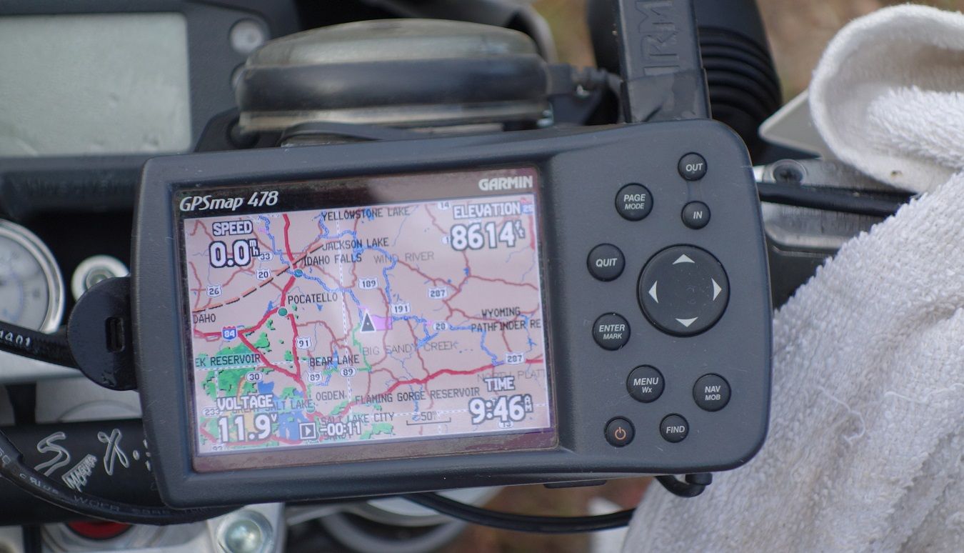
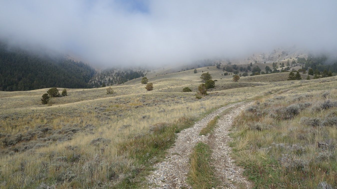
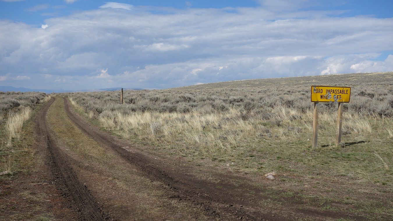
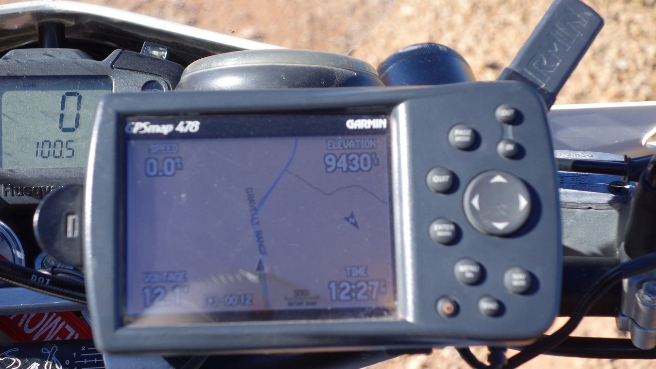
Today though, we may have to make some judgment calls because of the weather forecast. Today's forecast is great, tomorrow's is so-so, and Sunday's is 100% chance of rain. I'm 100% certain I don't want to miss the Parting of the Ways on tomorrow's route, so my wheels are turning on what to do. Are we going to need to push farther today than planned...? Better get rollin...

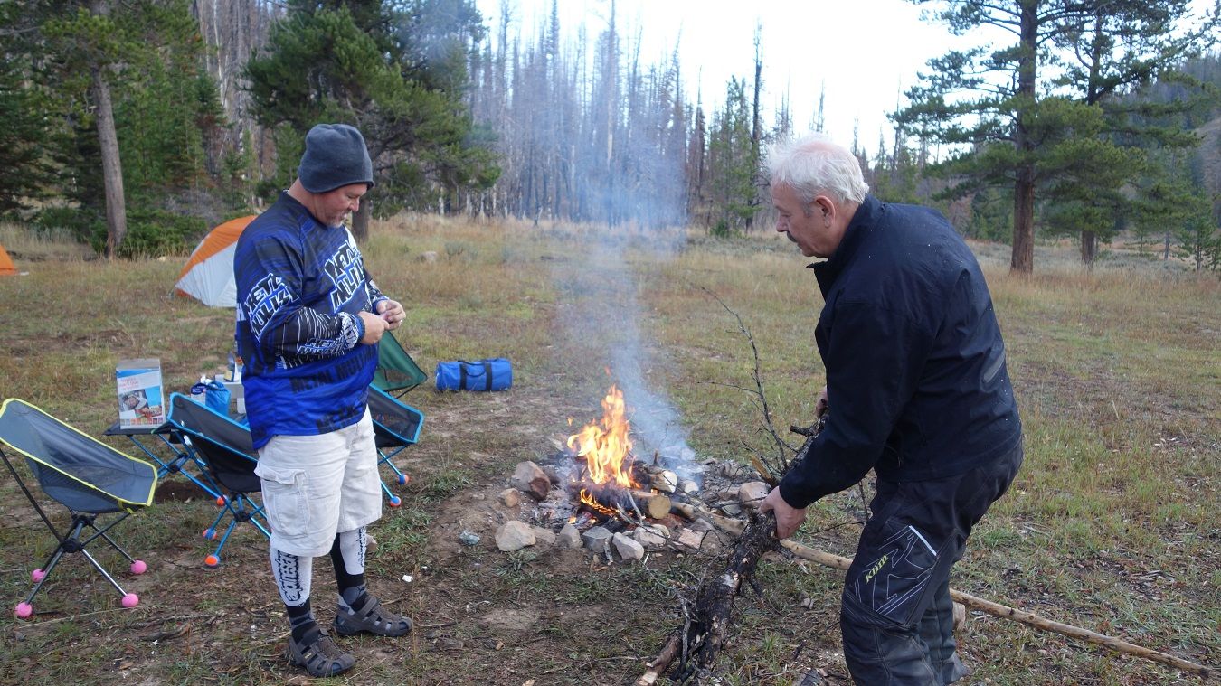
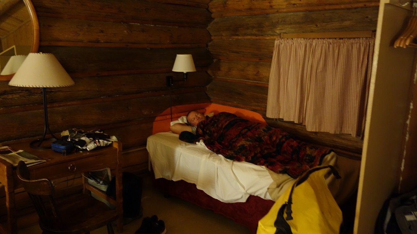
Up and at it Jim! Only three days to go...

9-26-14488.jpg~original


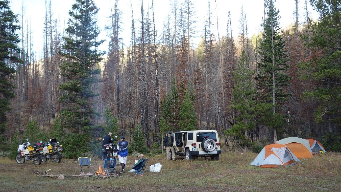
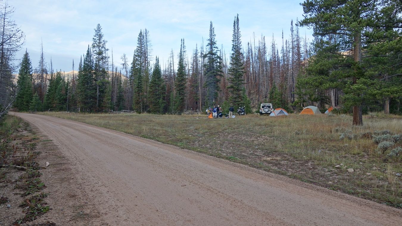
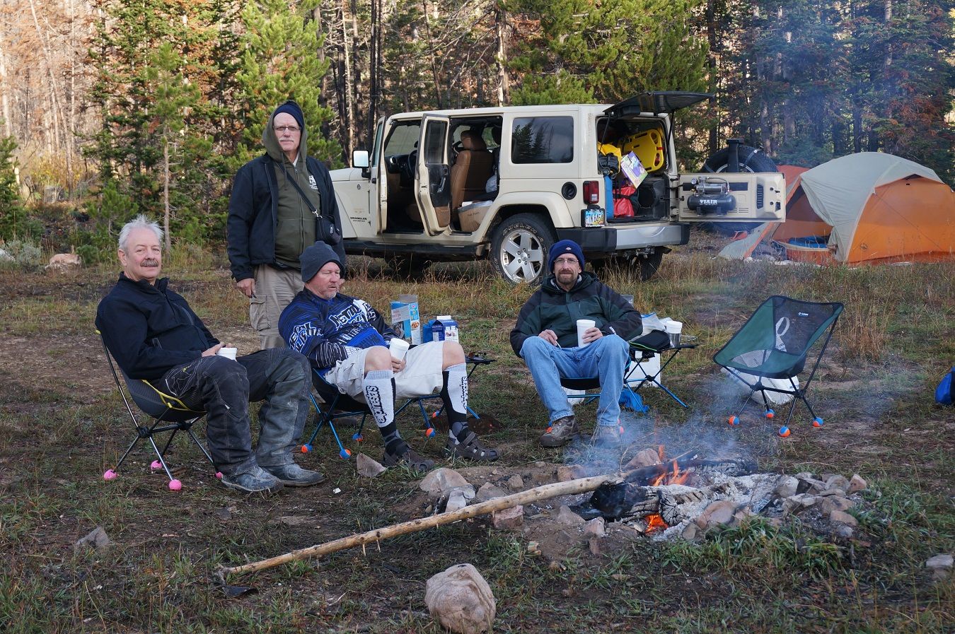
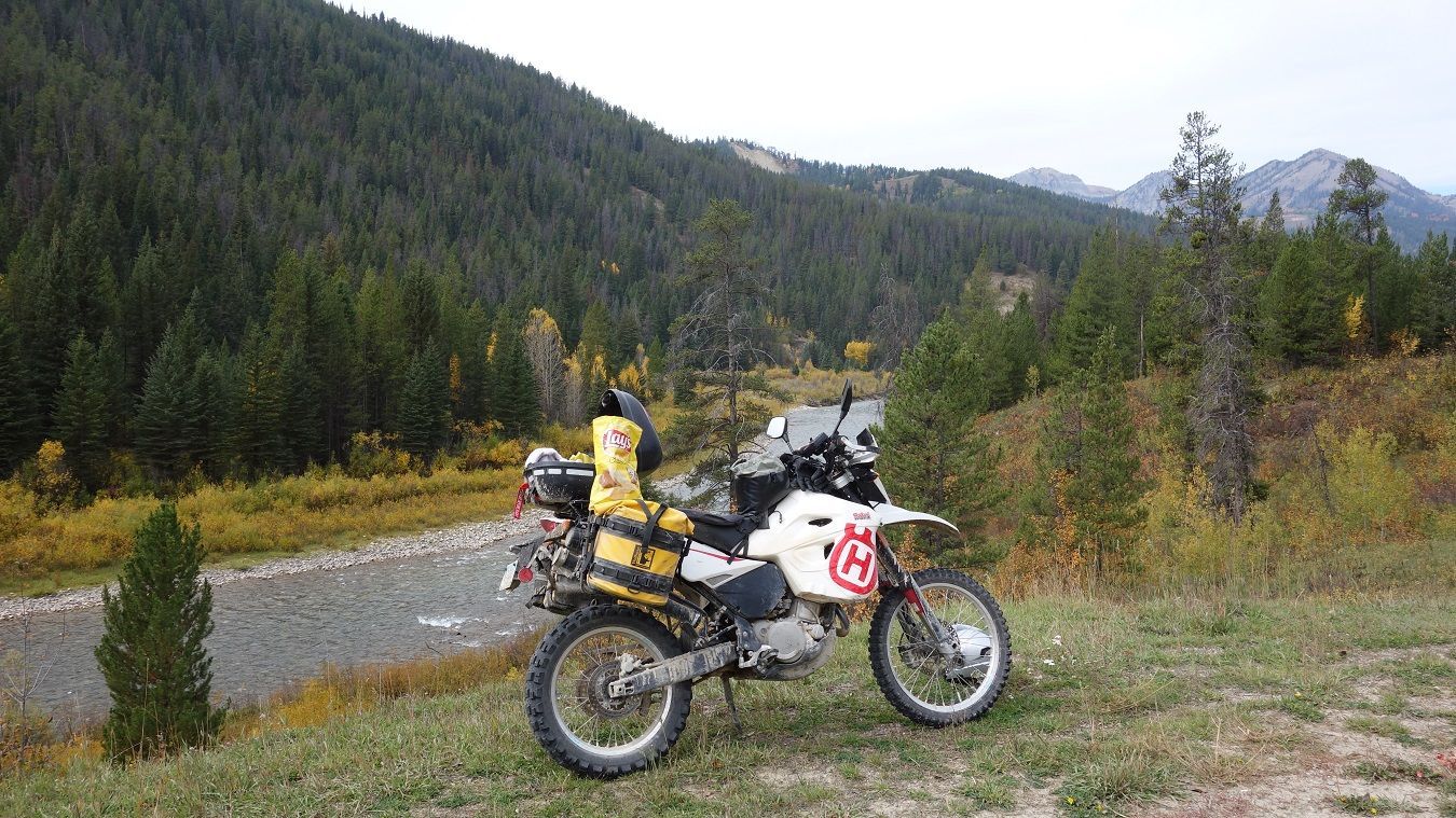
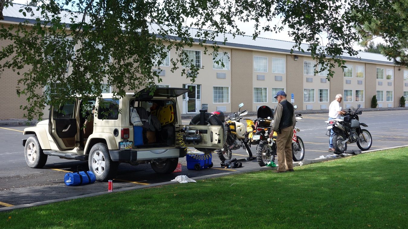
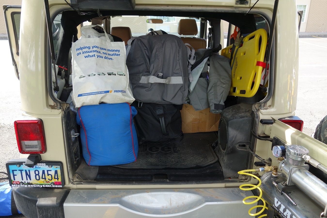
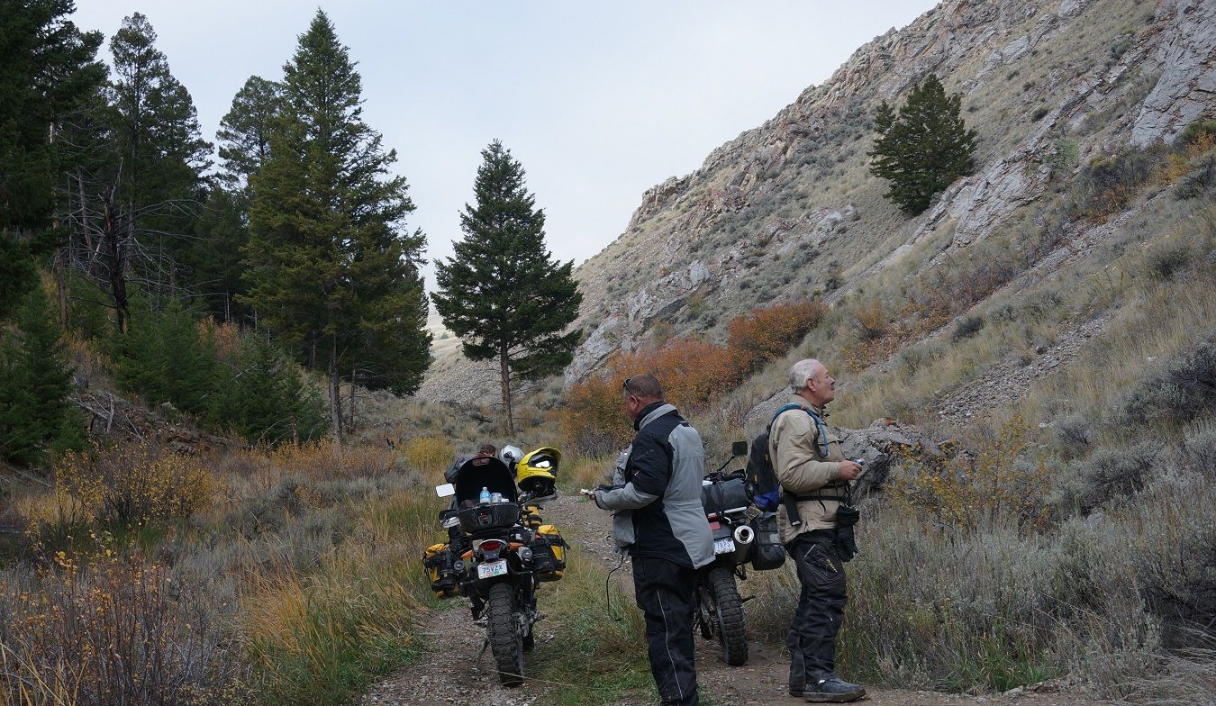
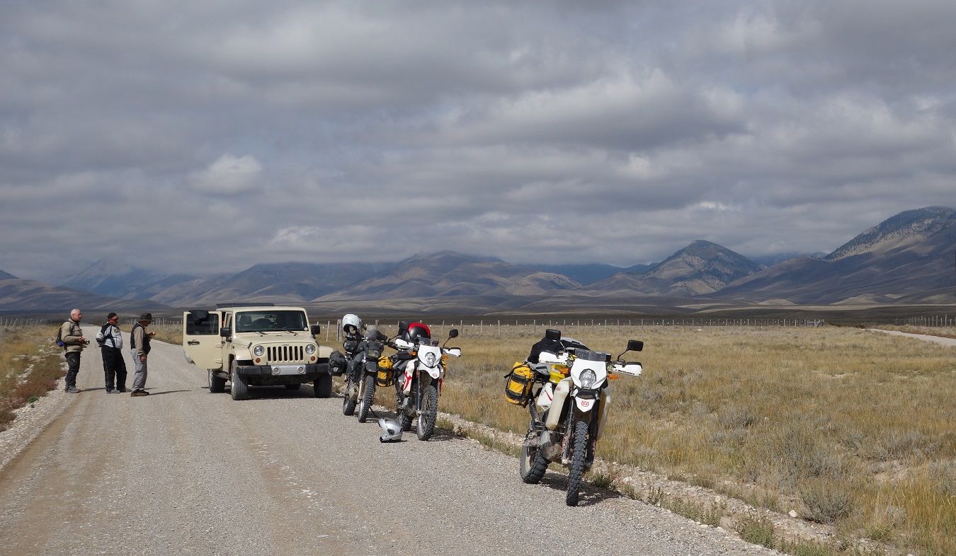
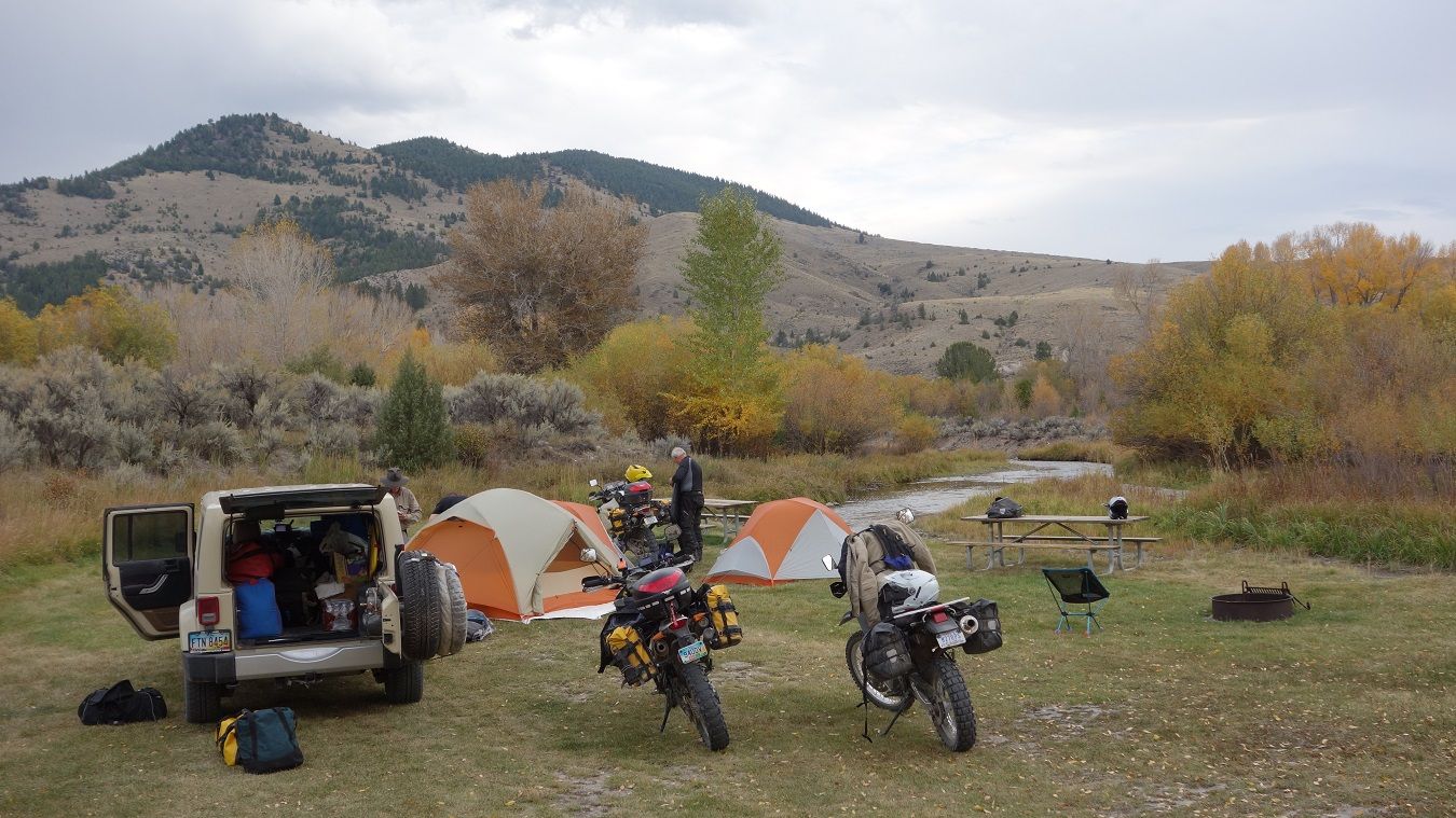
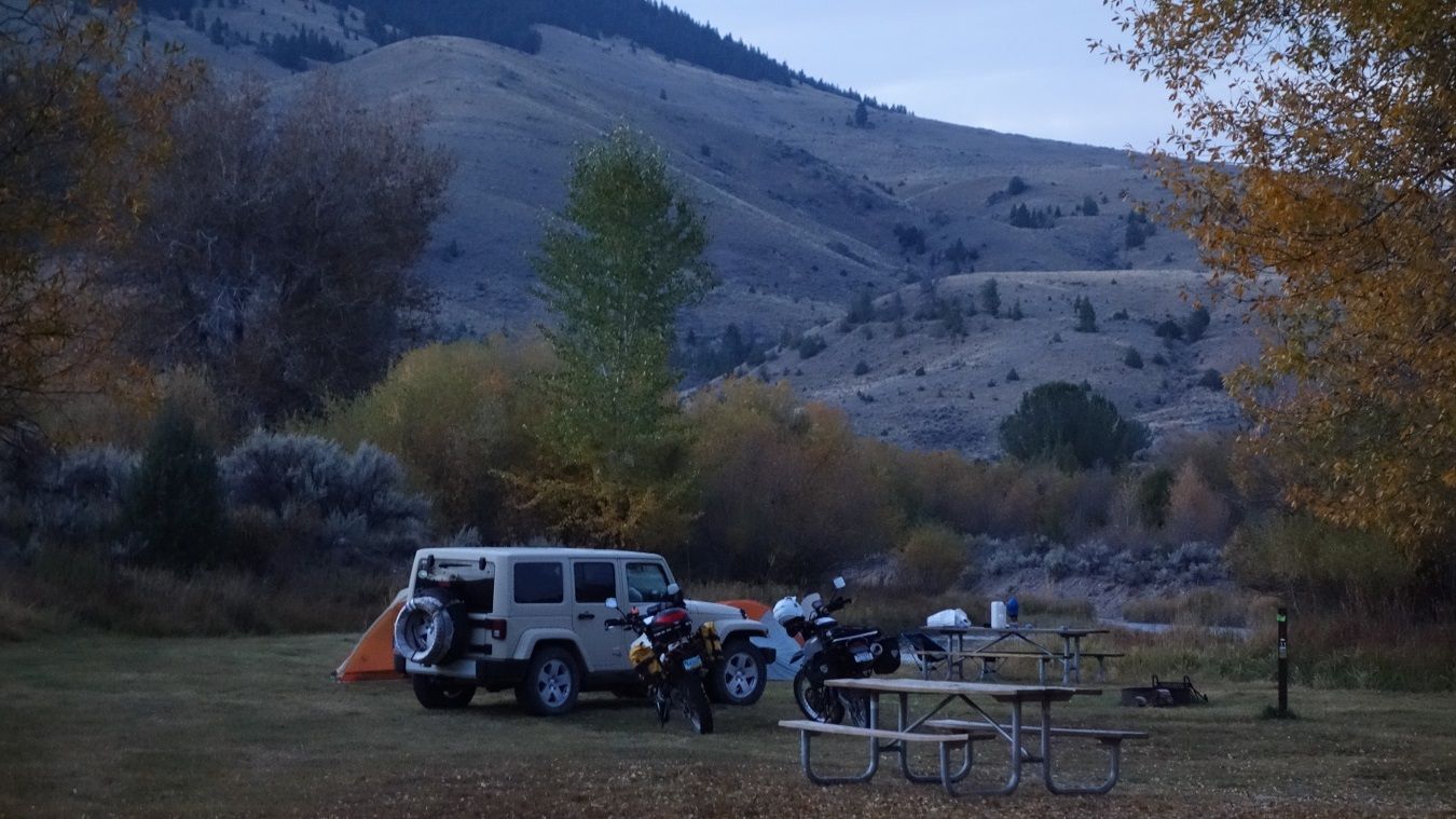
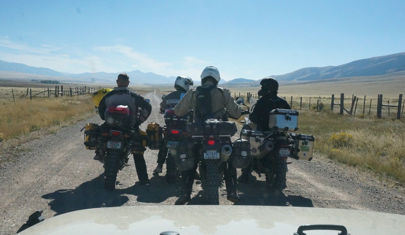
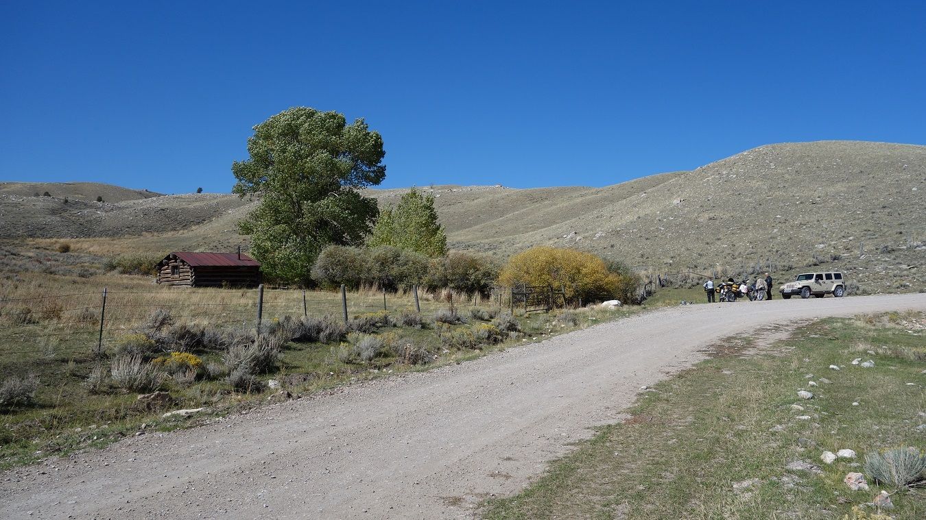
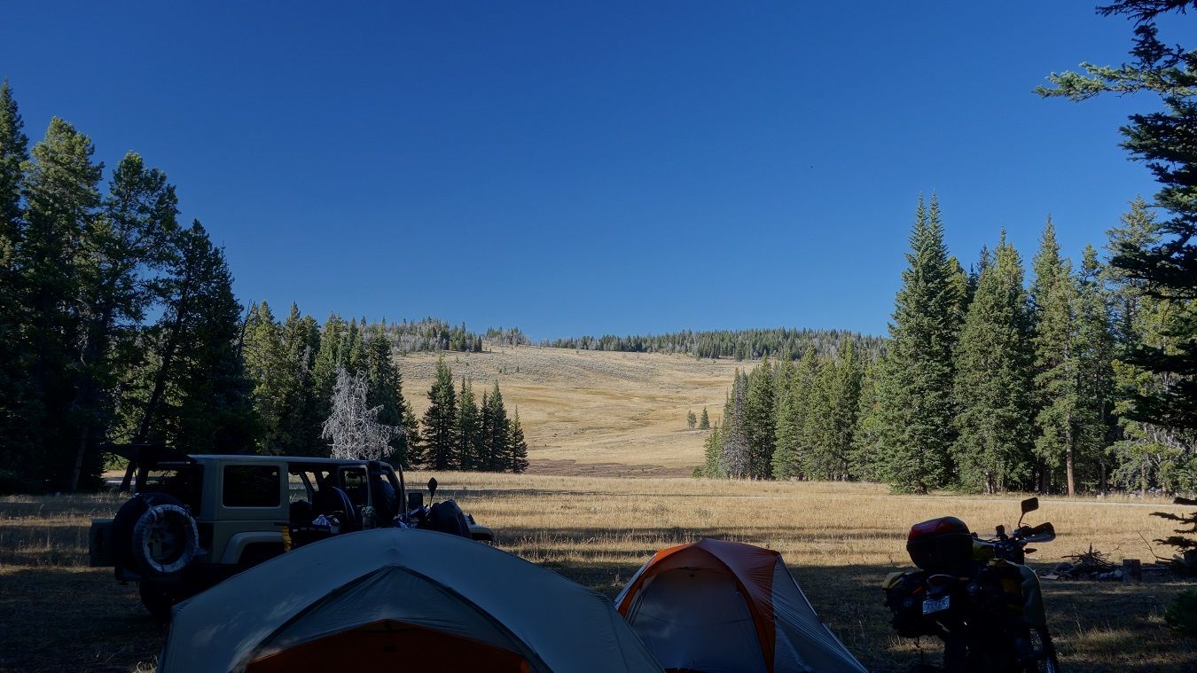
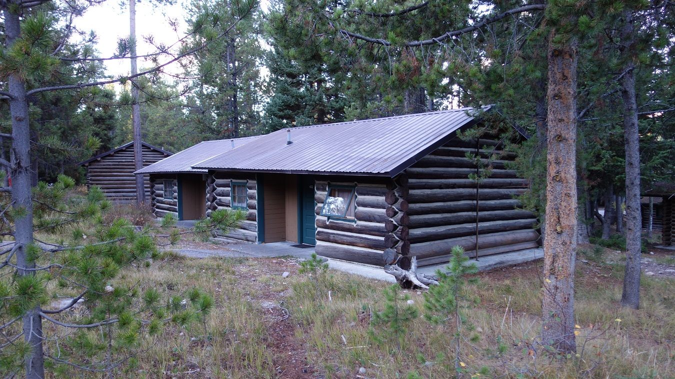
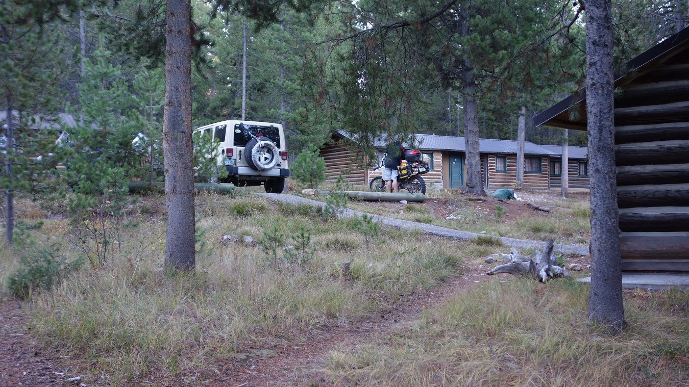
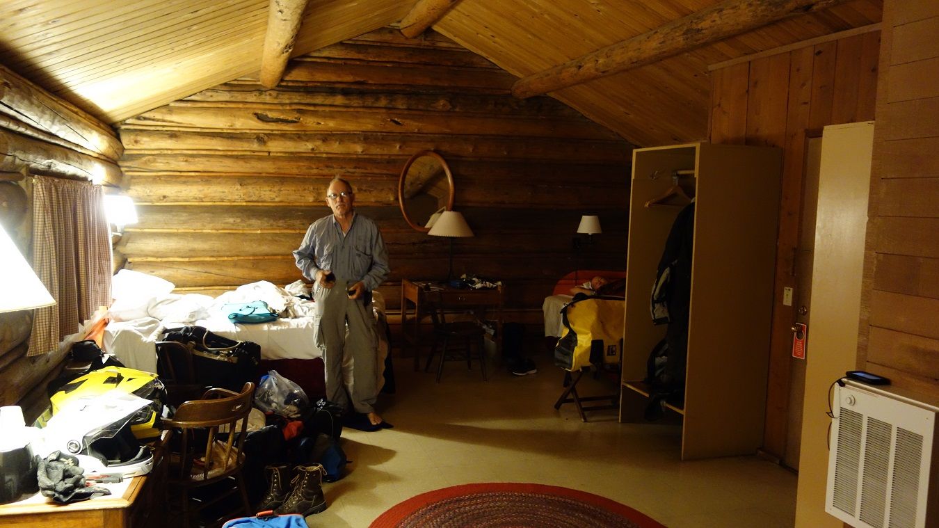
Four of us pretty well filled up the cabin.

9-26-14489.jpg~original


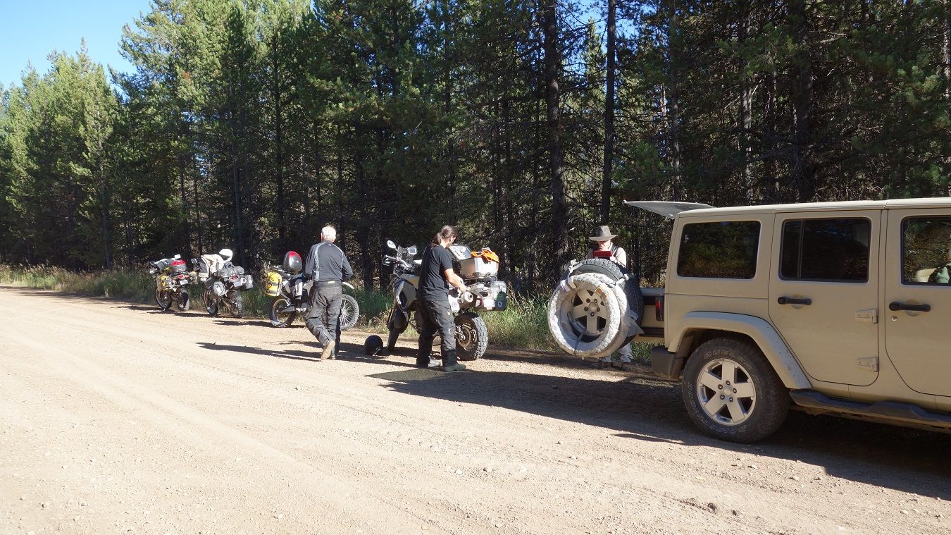
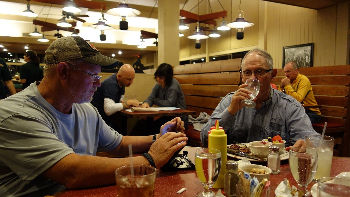
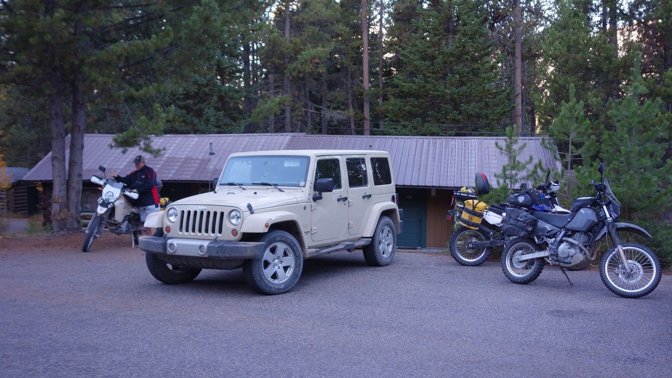
Had breakfast at the restaurant, looked at the 10day again, and got the bikes loaded.

9-26-14495.jpg~original


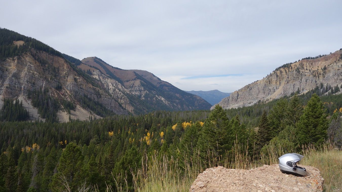
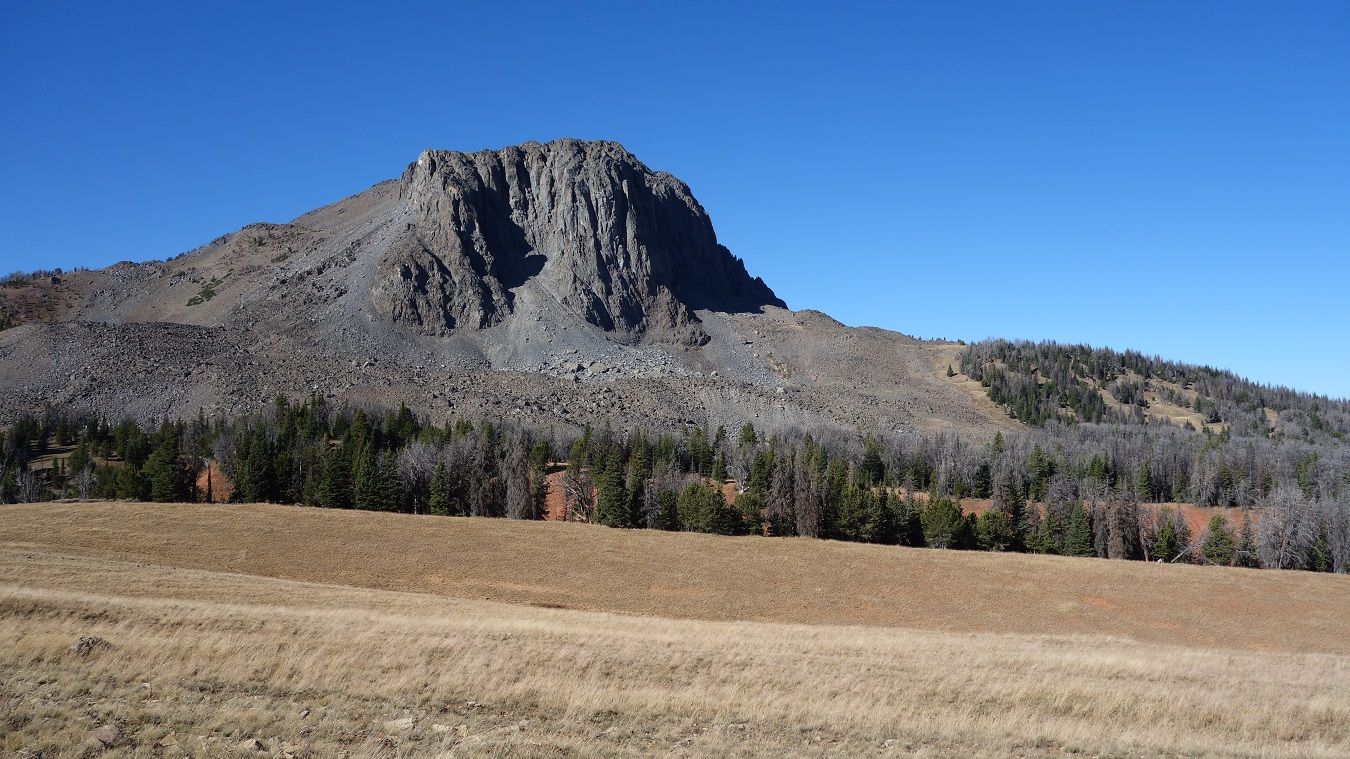
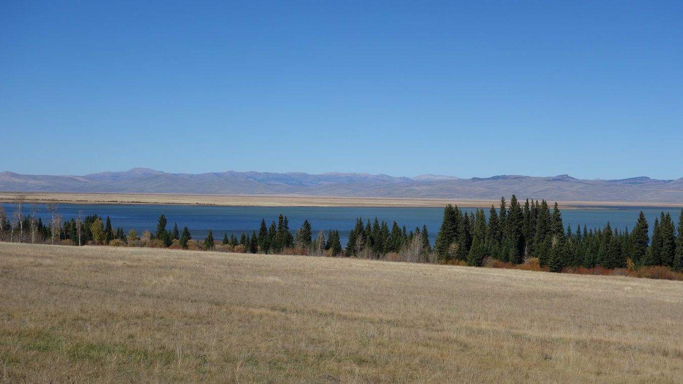
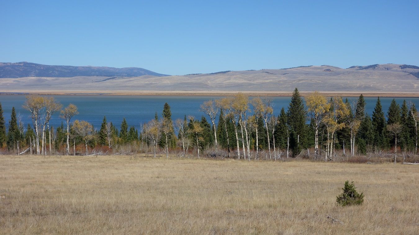
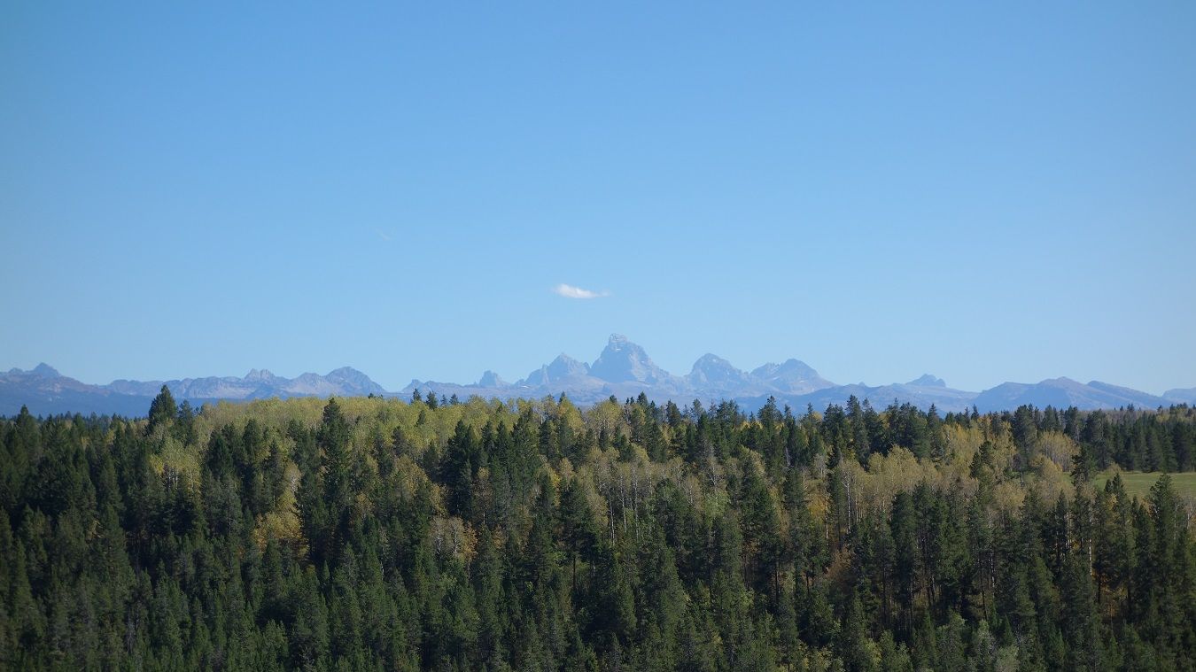
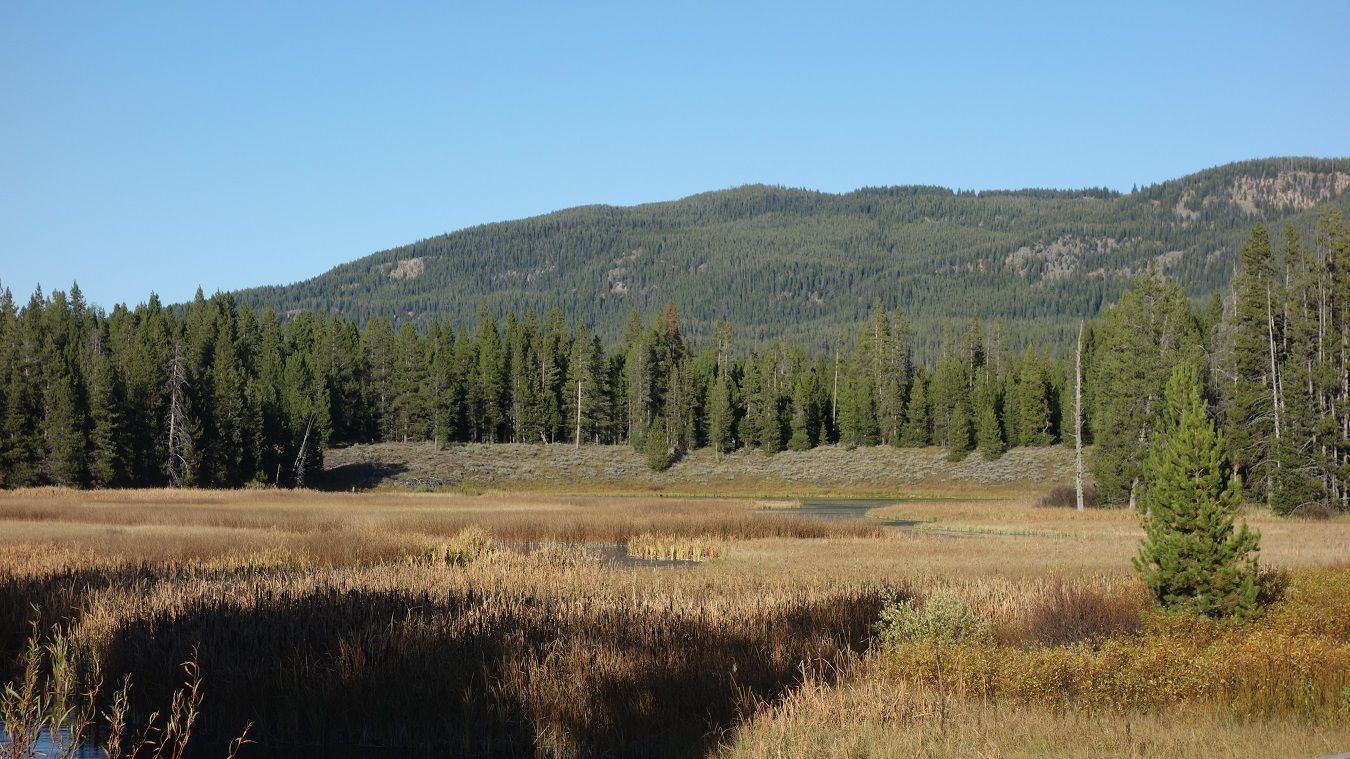
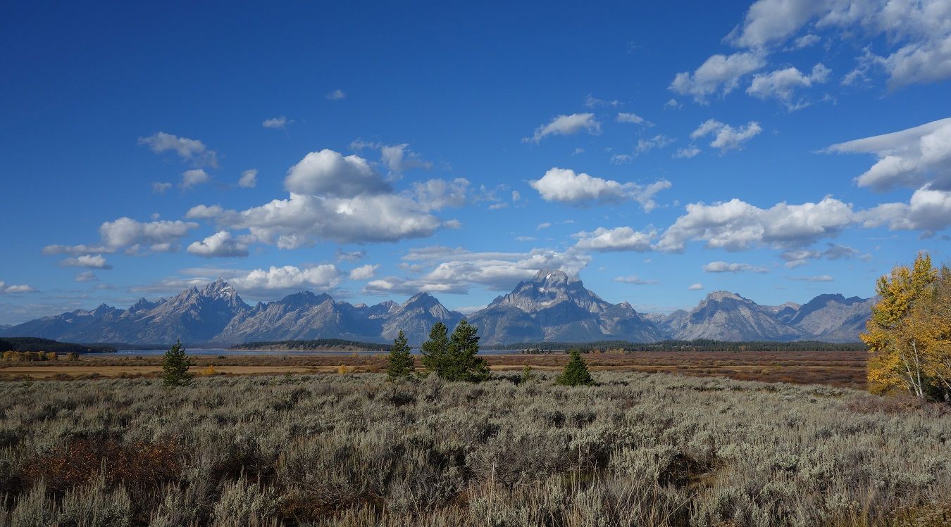
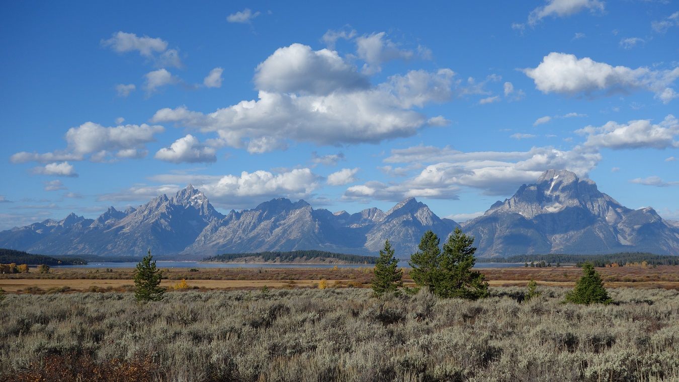
Without a doubt, the Teton Range is one of the highlights of the route. Today we were lucky to catch it with early morning light on its east face. I could have sat right here all day!

9-26-14497a.jpg~original


9-26-14496.jpg~original


9-26-14501.jpg~original


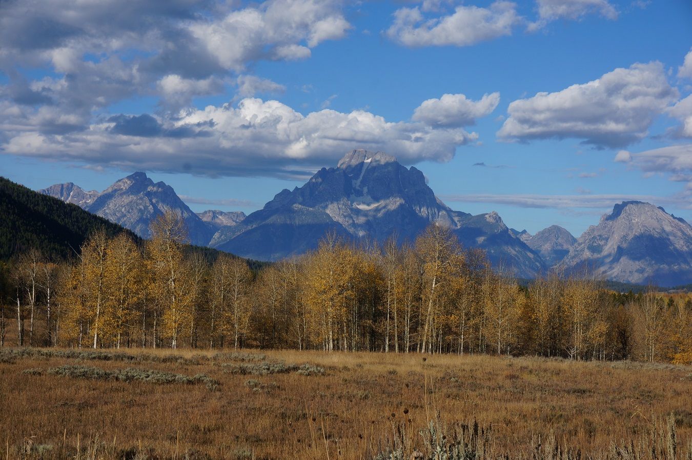
Because we had all been here before, and had weather concerns, we opted to cut off Tony's optional loop down into Teton NP. In hindsight, I wish we would have done it, prob missed some good pics.

9-27-14d181.jpg~original


9-26-14505a.jpg~original


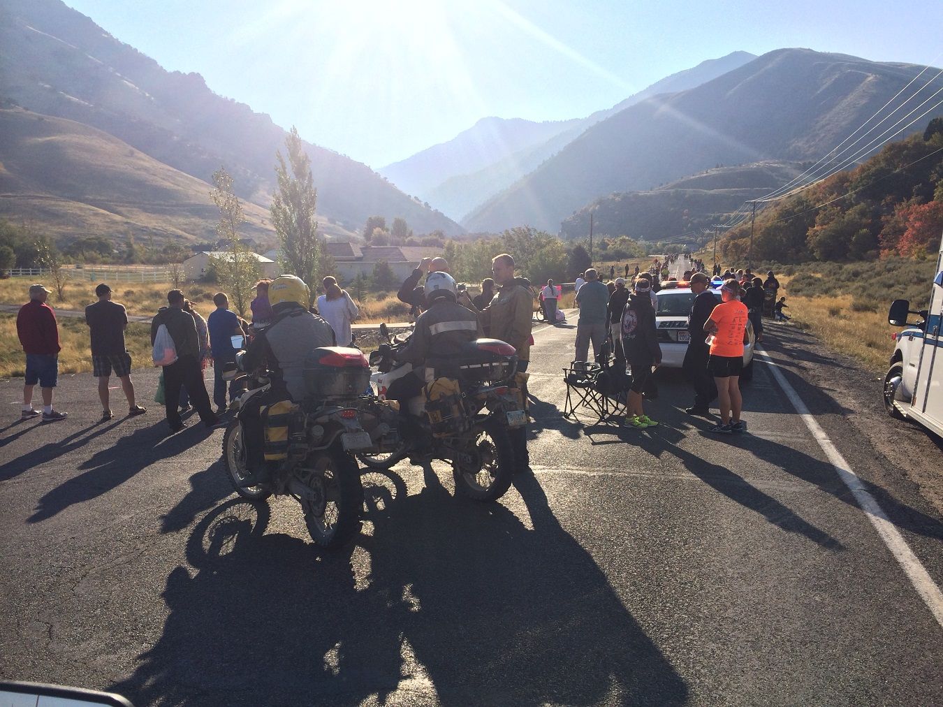
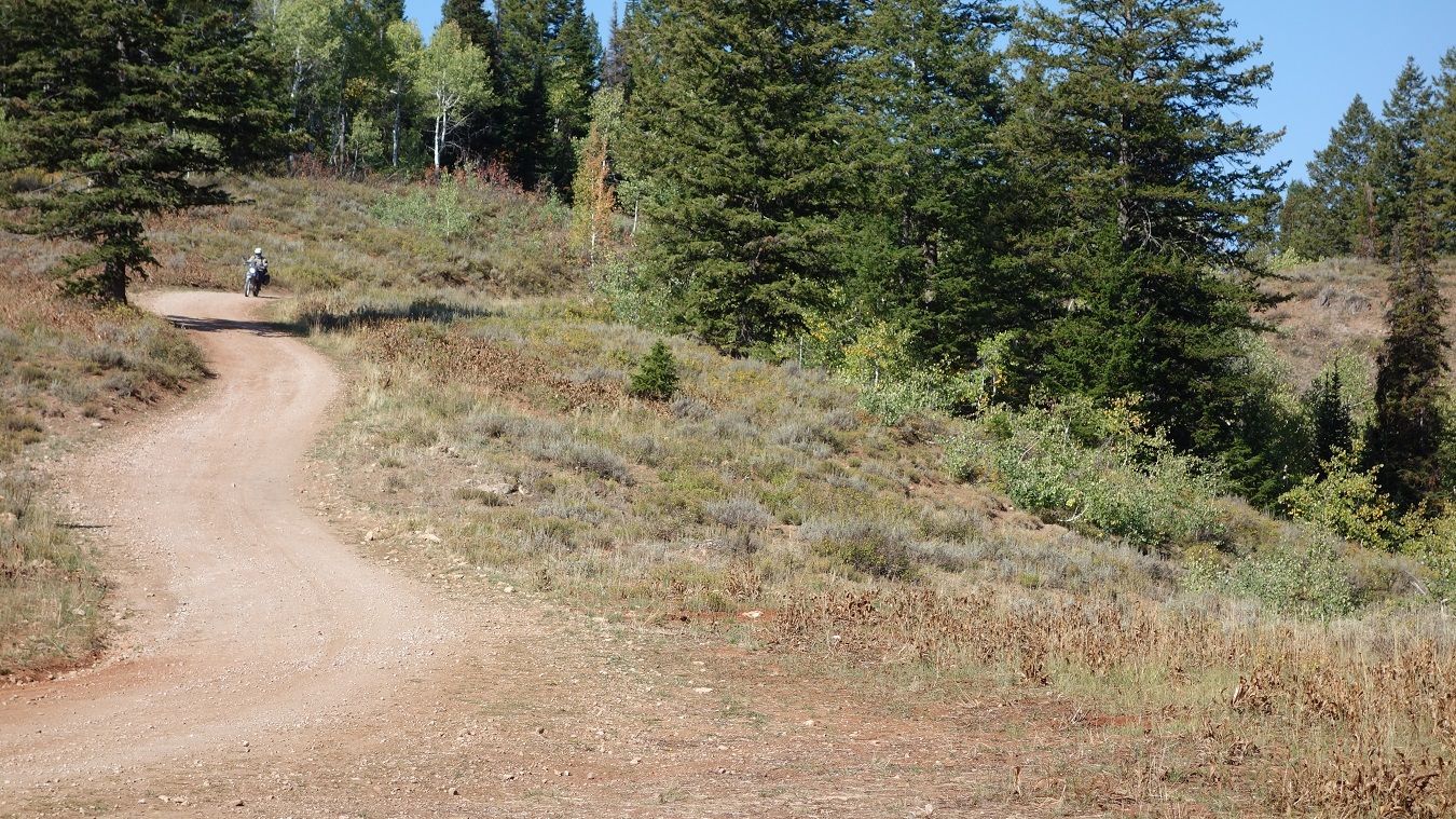
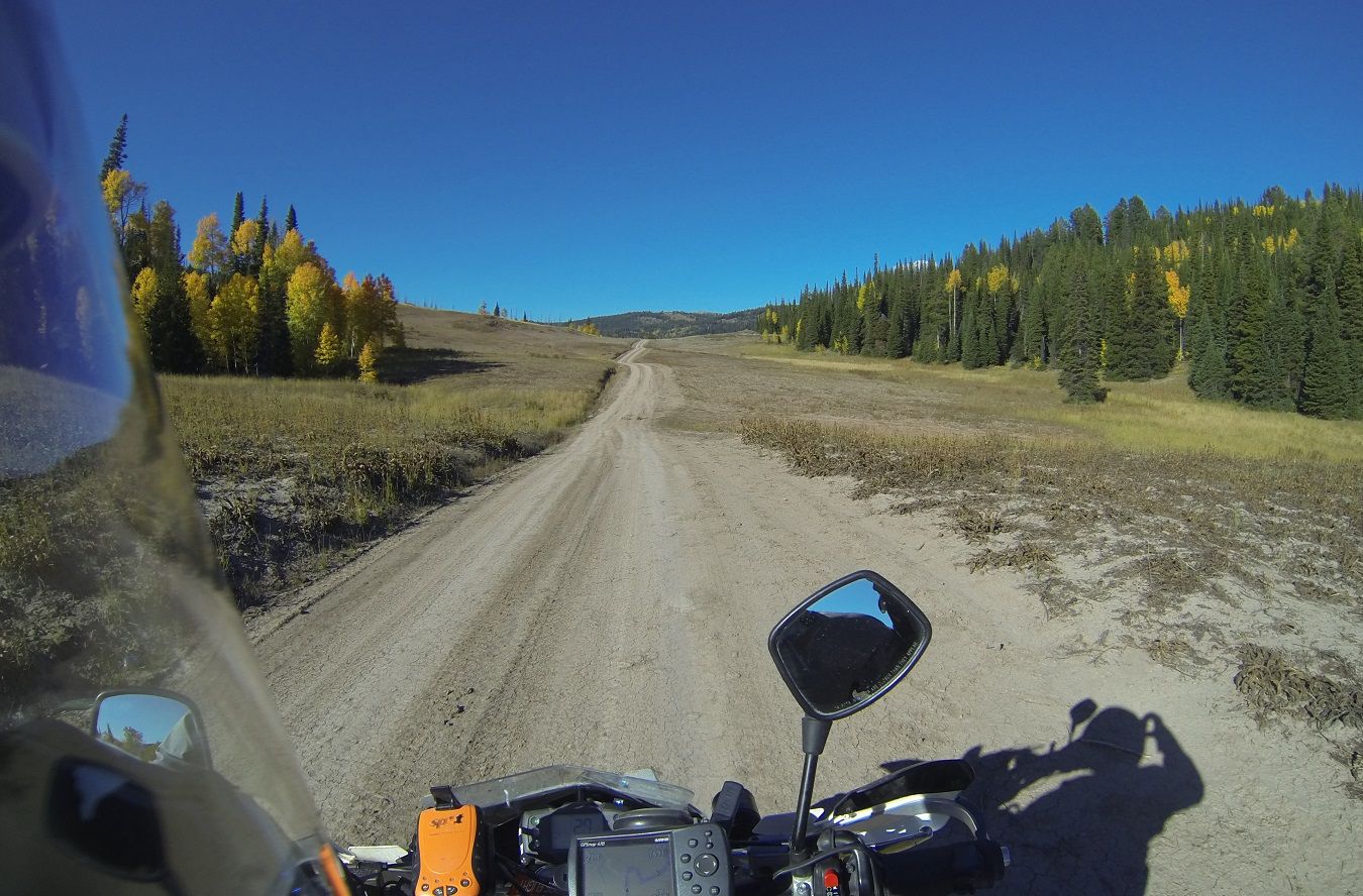
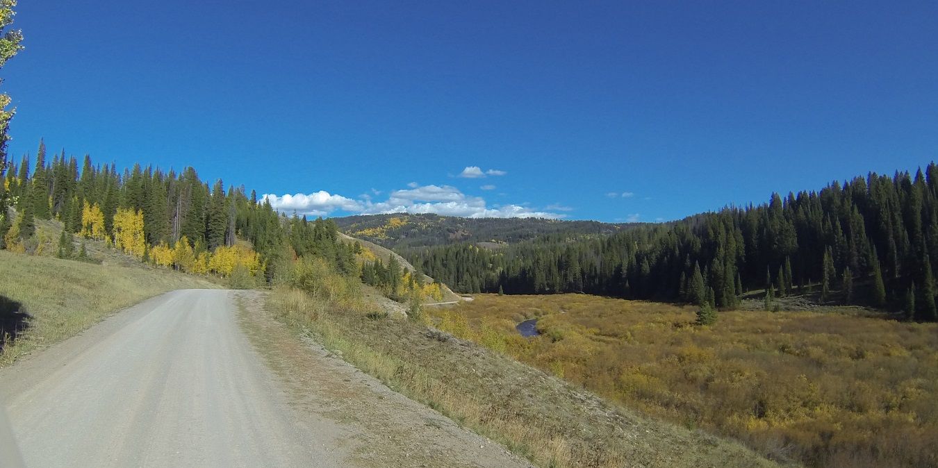
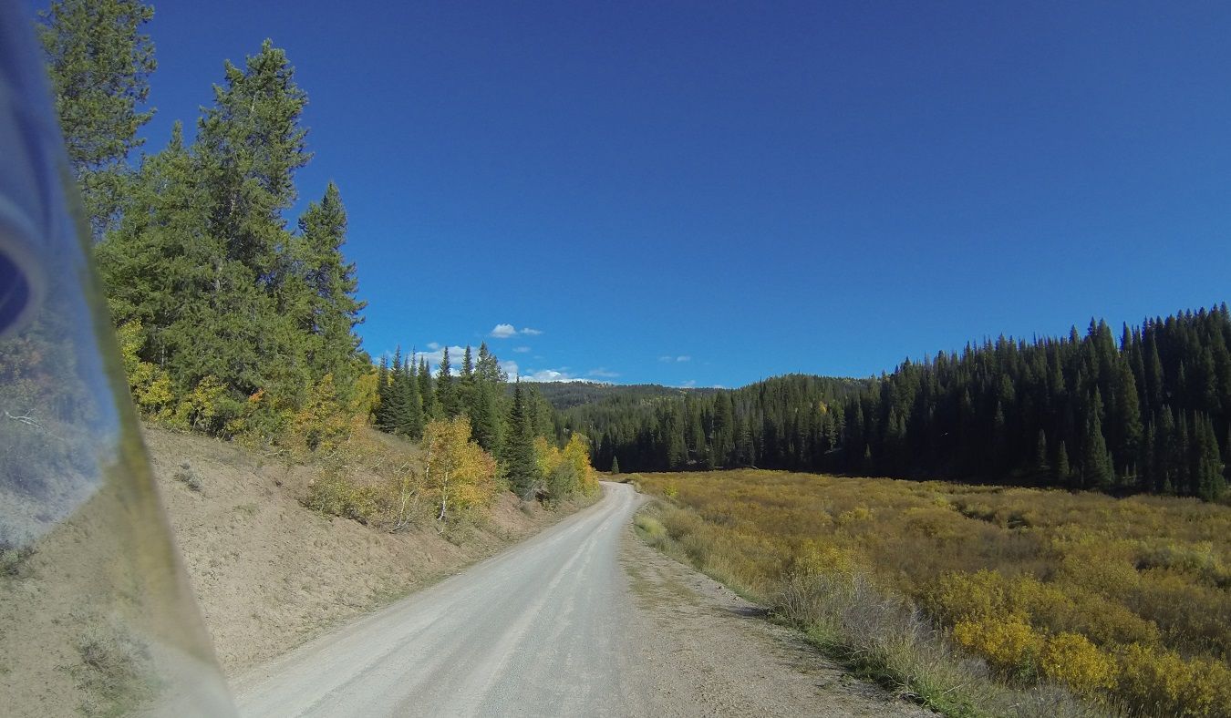
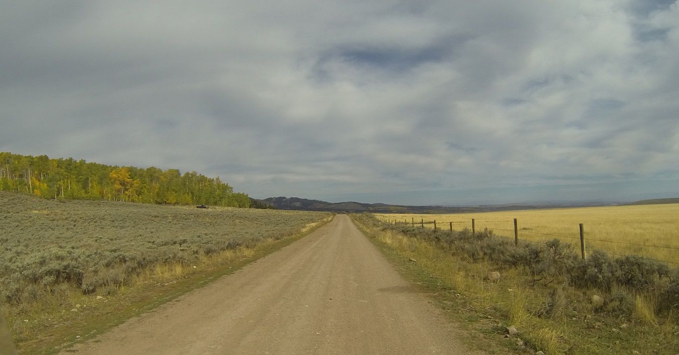
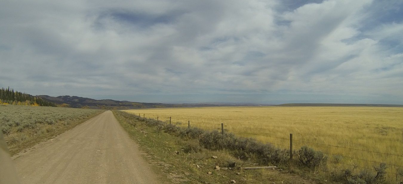
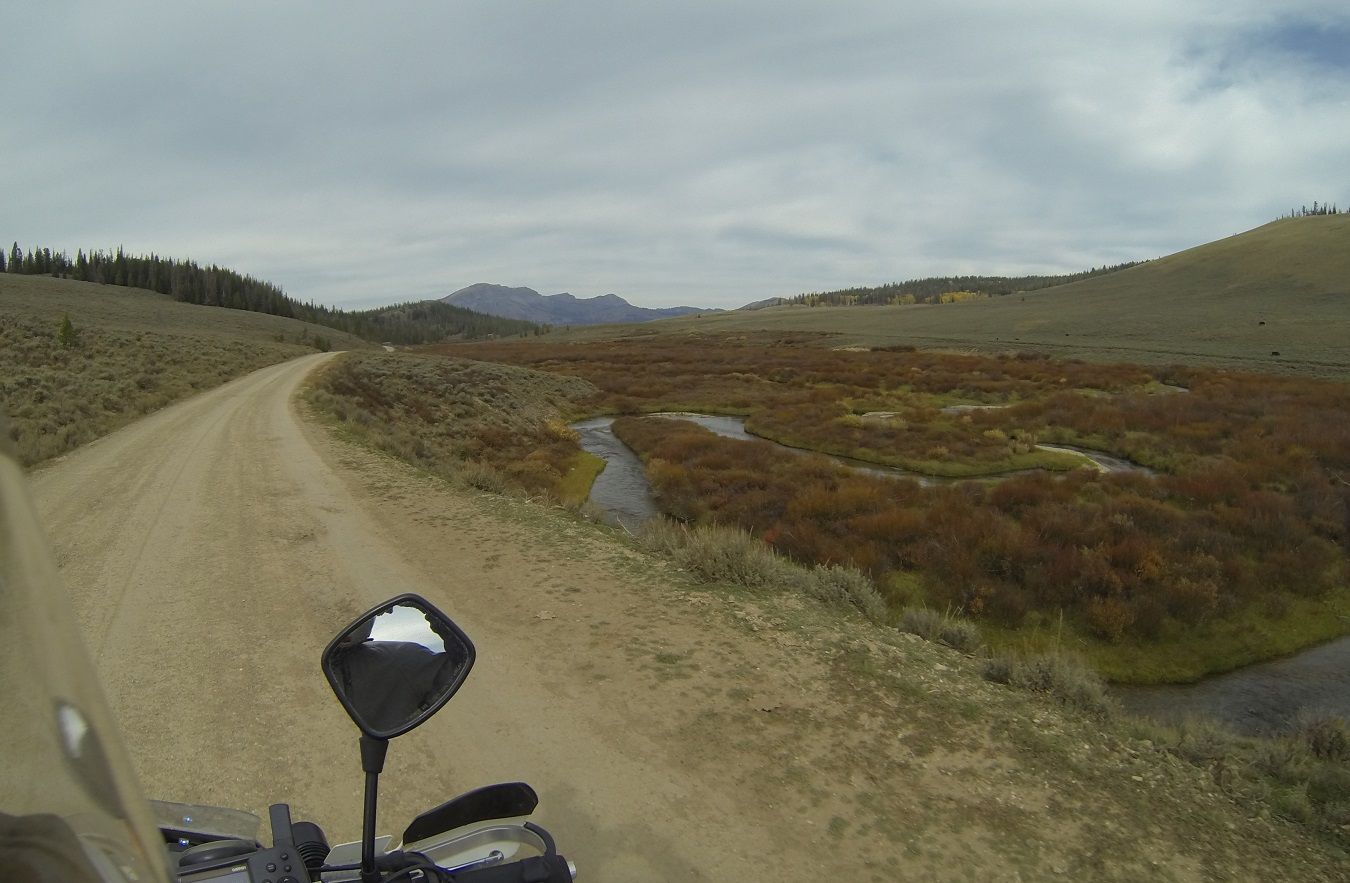
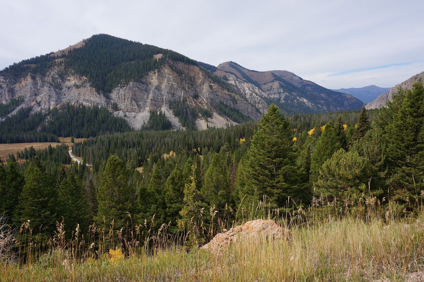
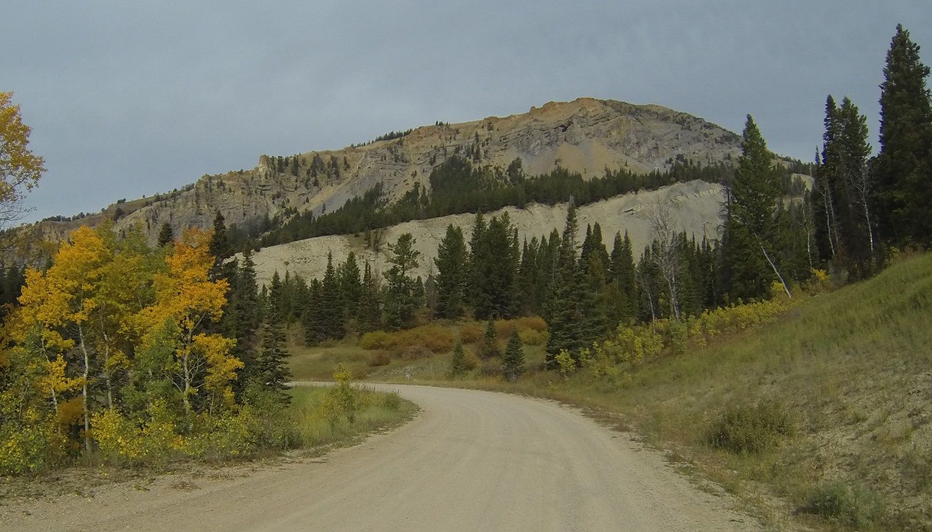
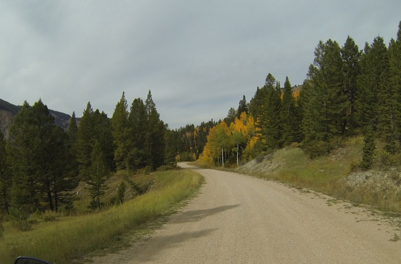
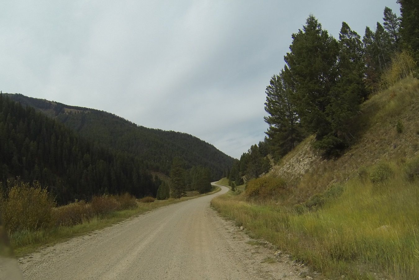
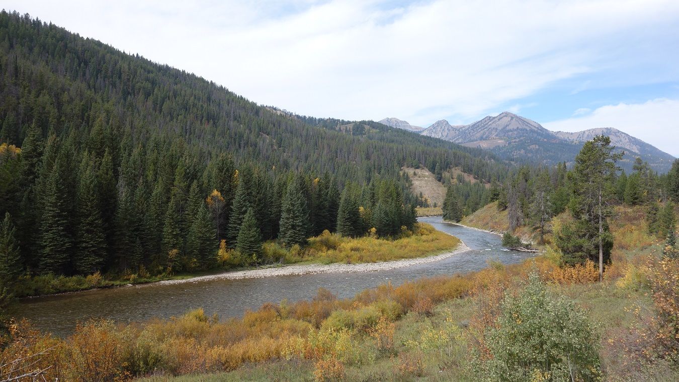
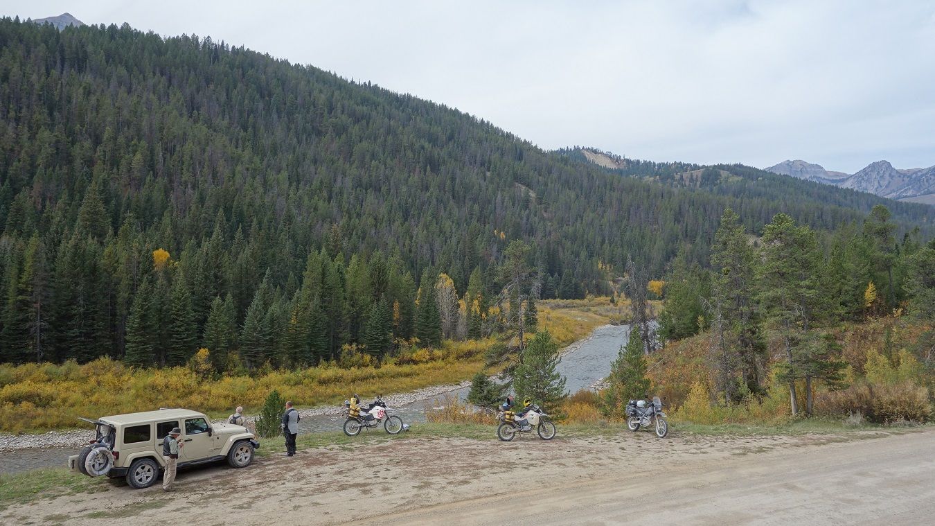
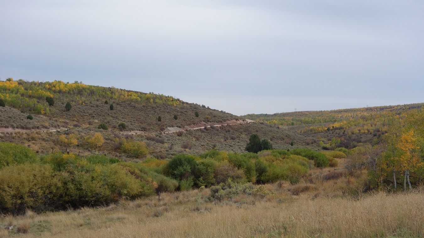
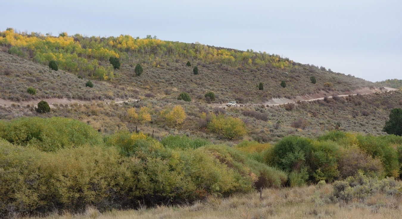
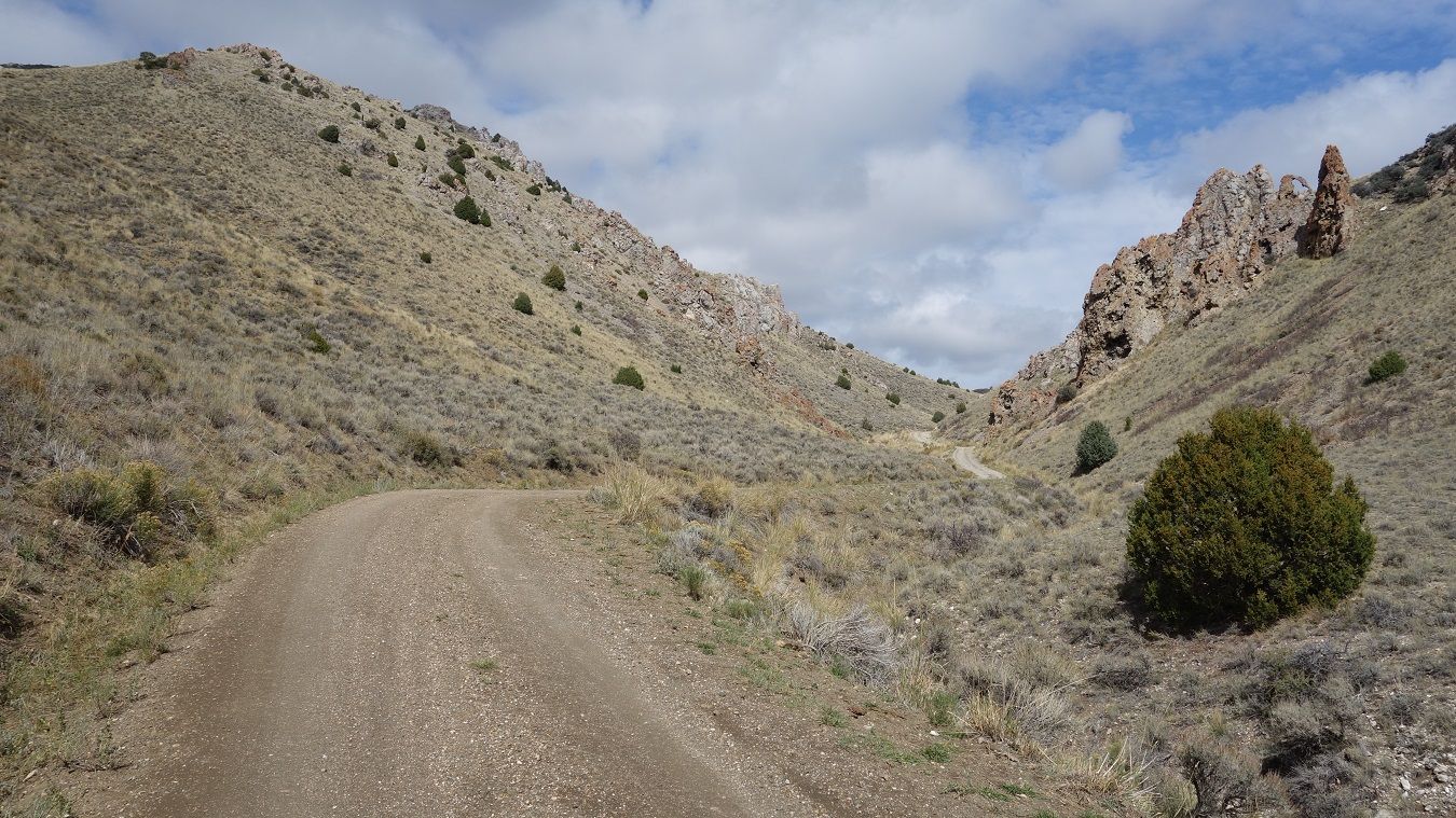
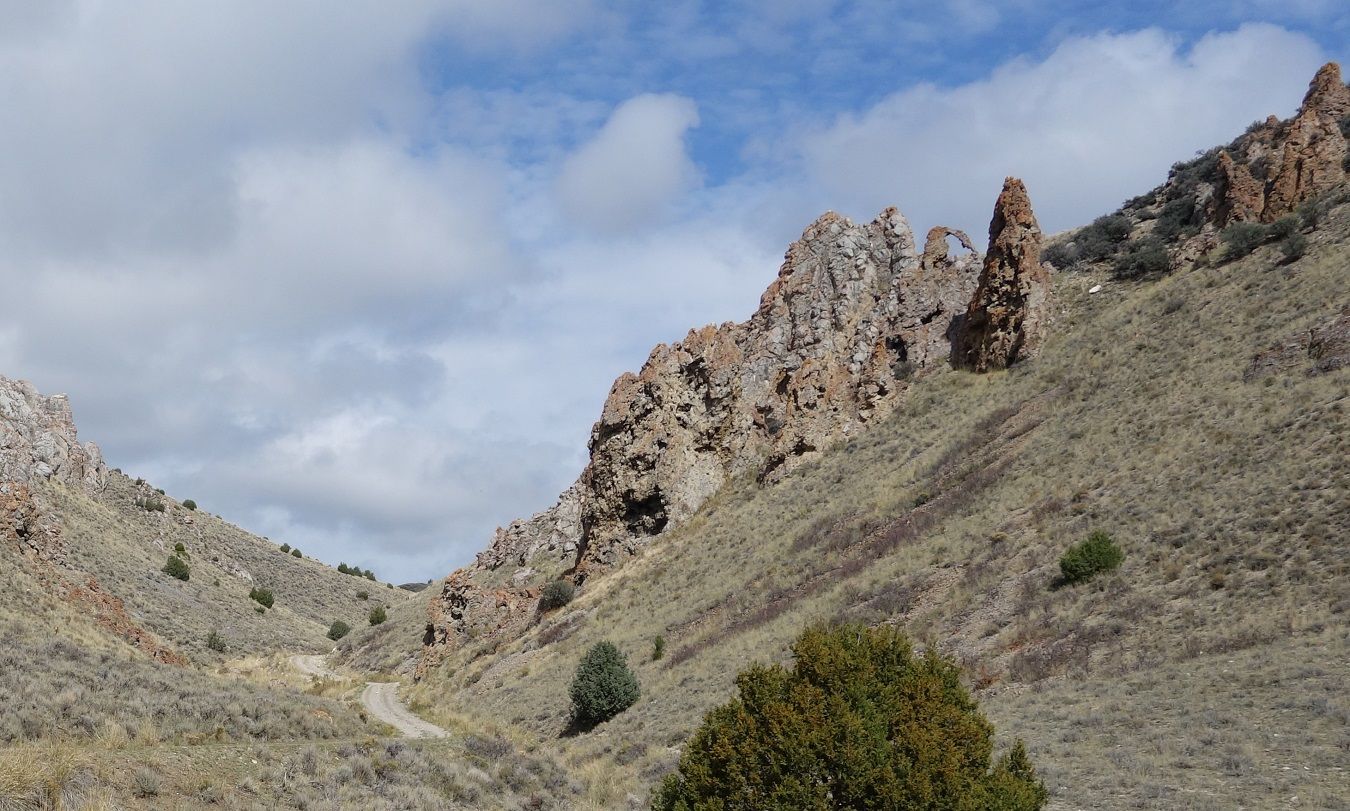
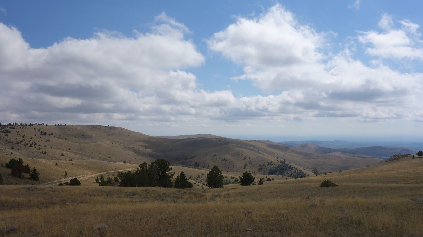
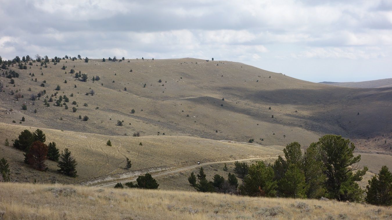
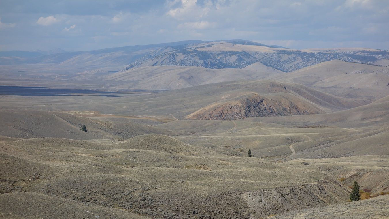
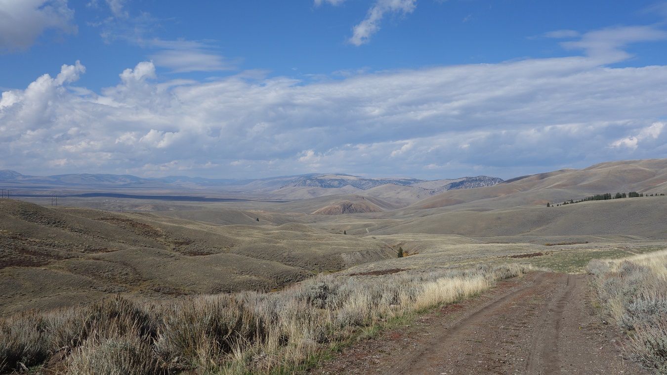
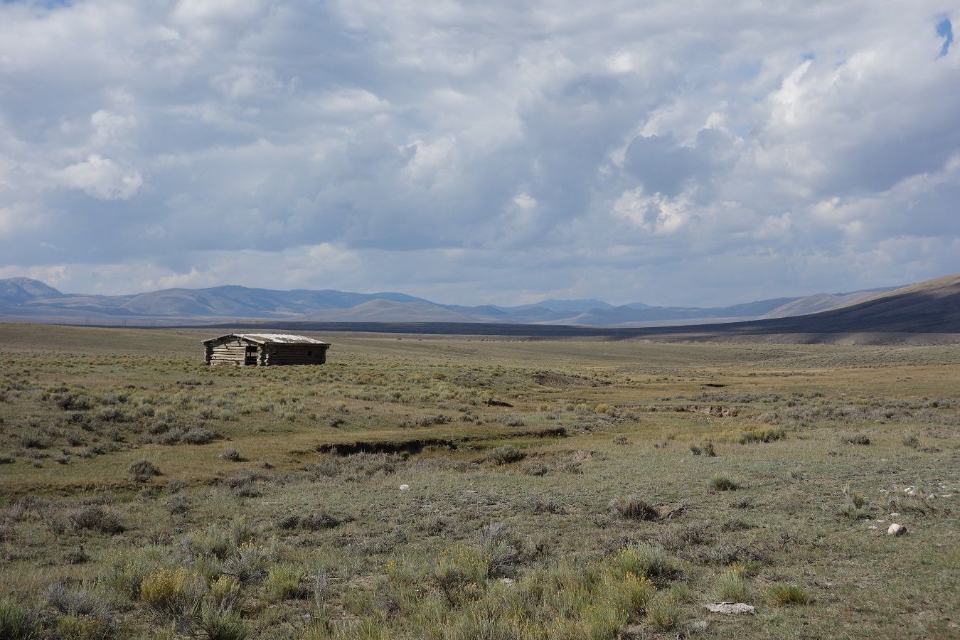
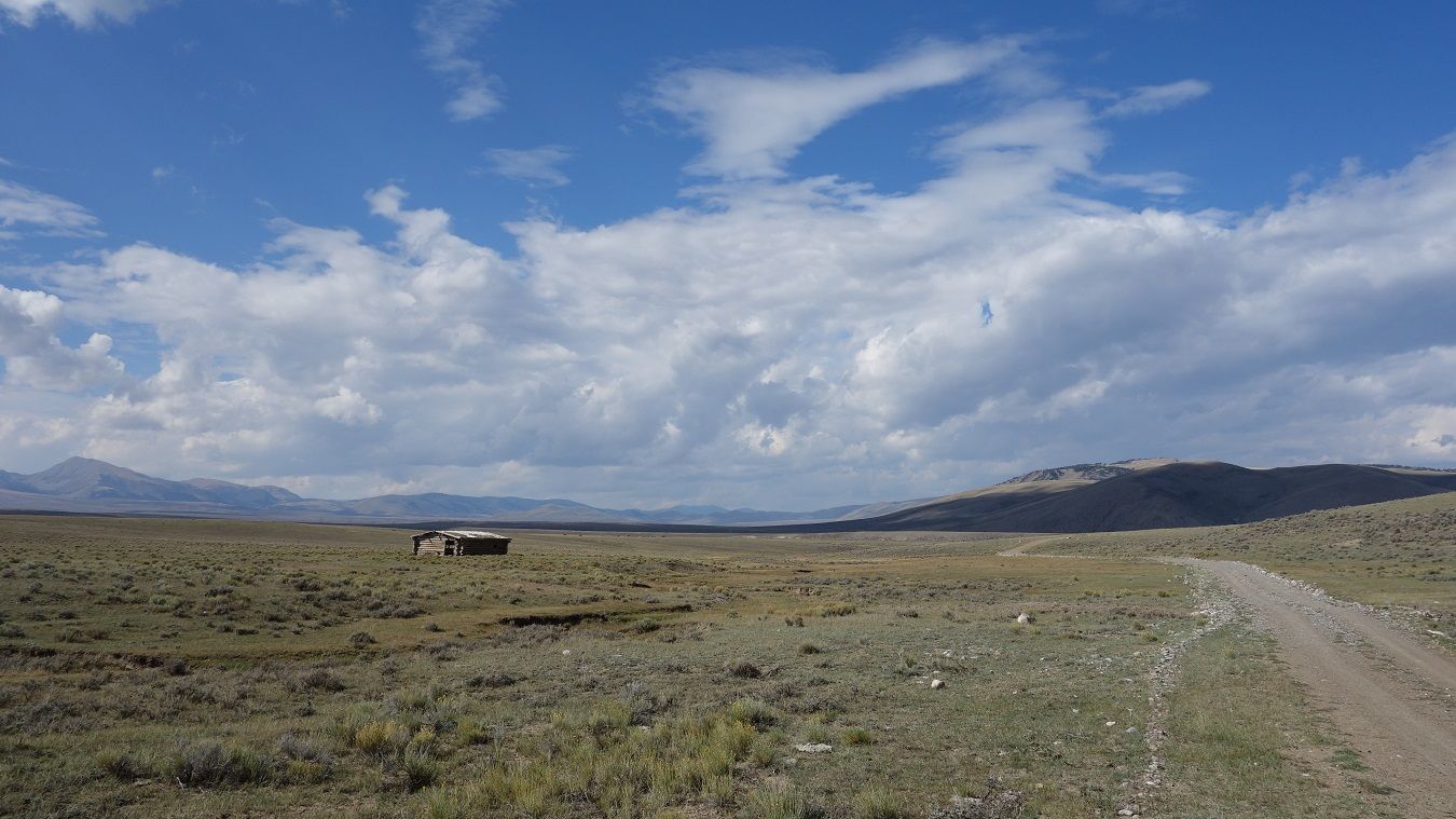
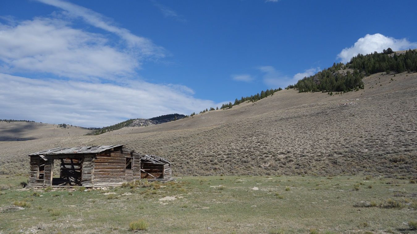
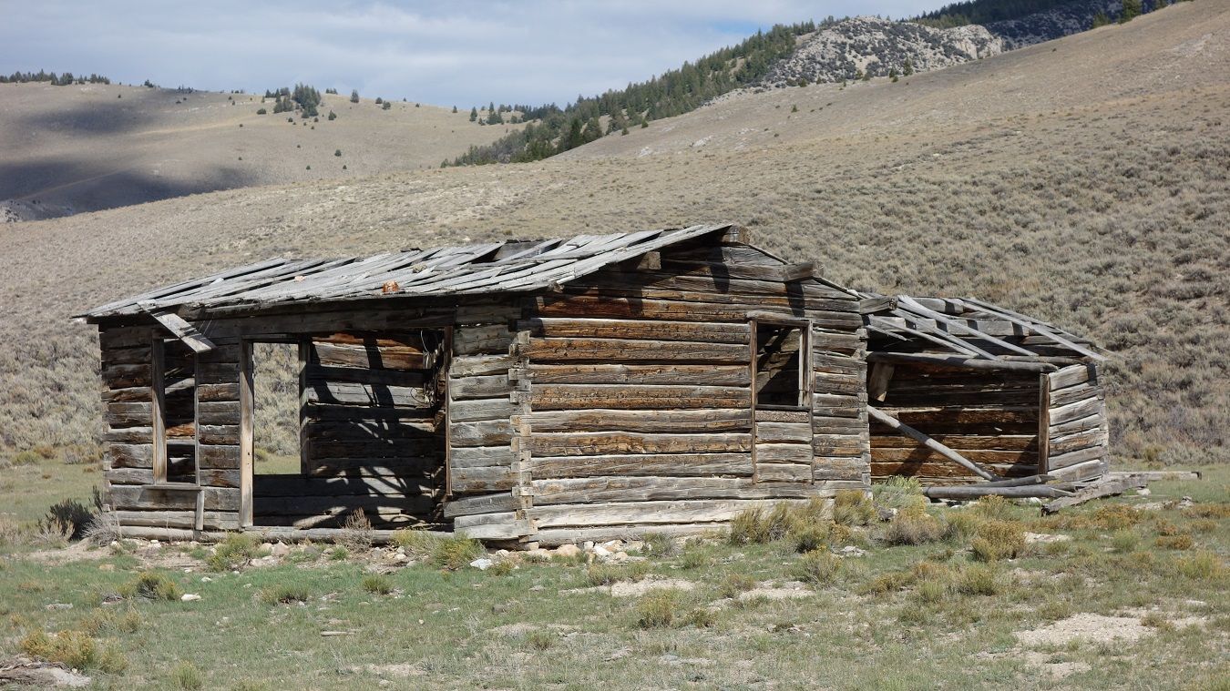
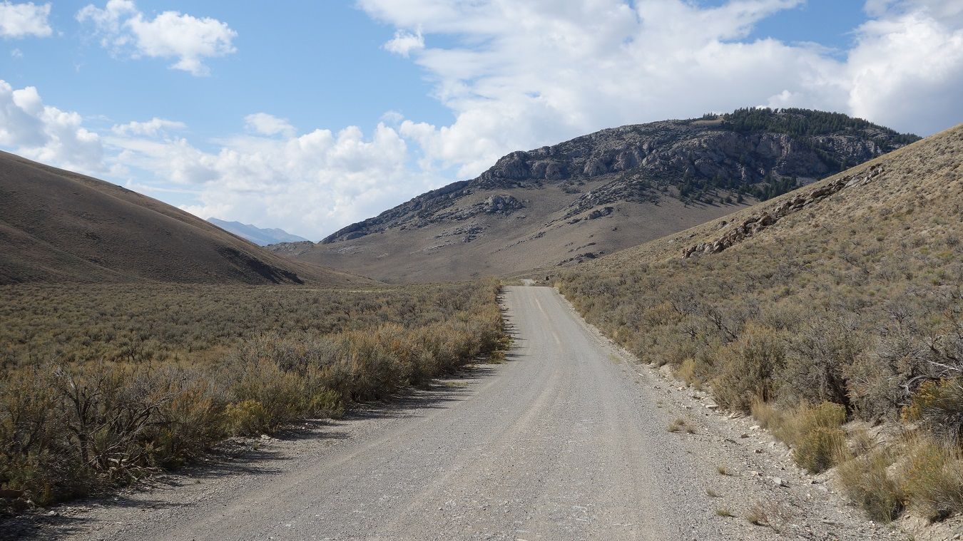
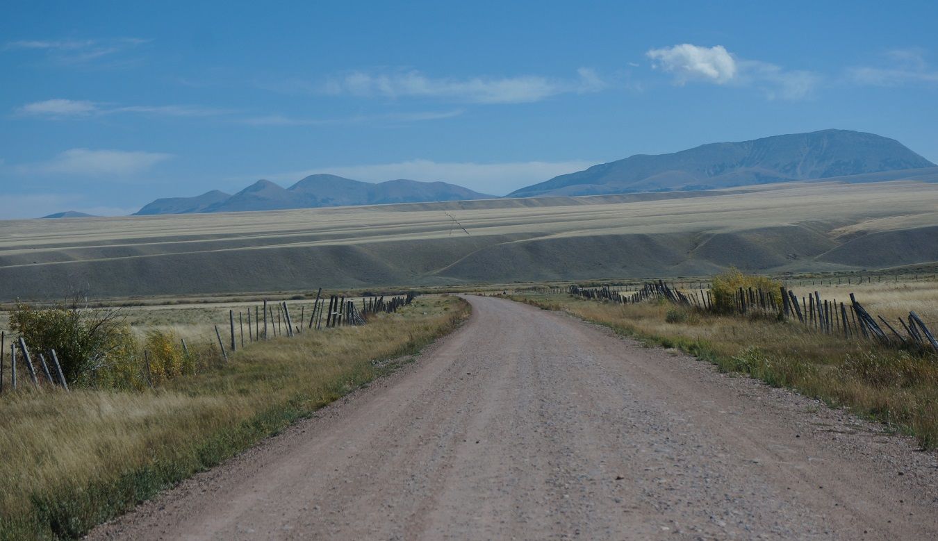
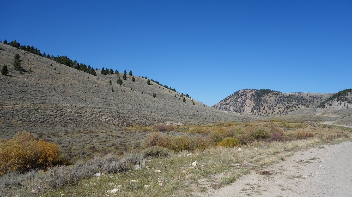
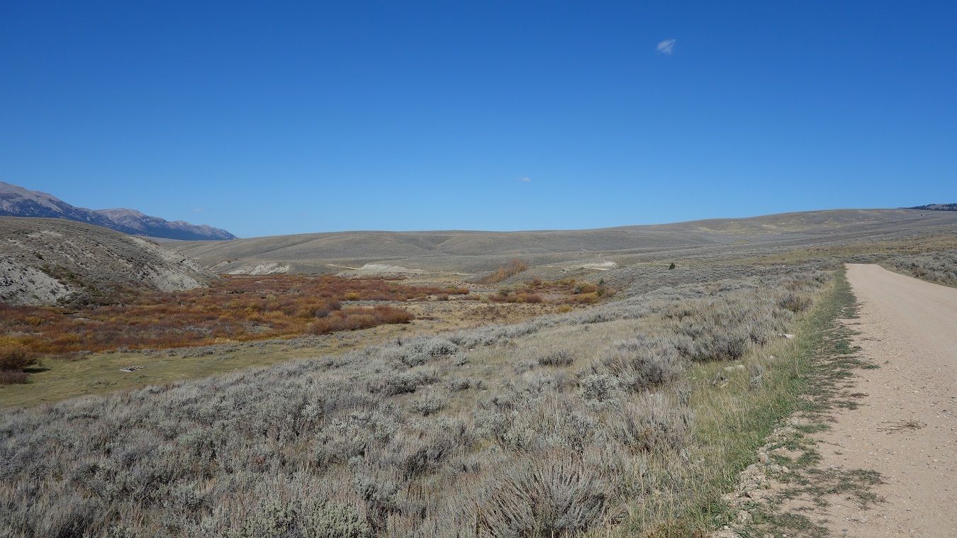
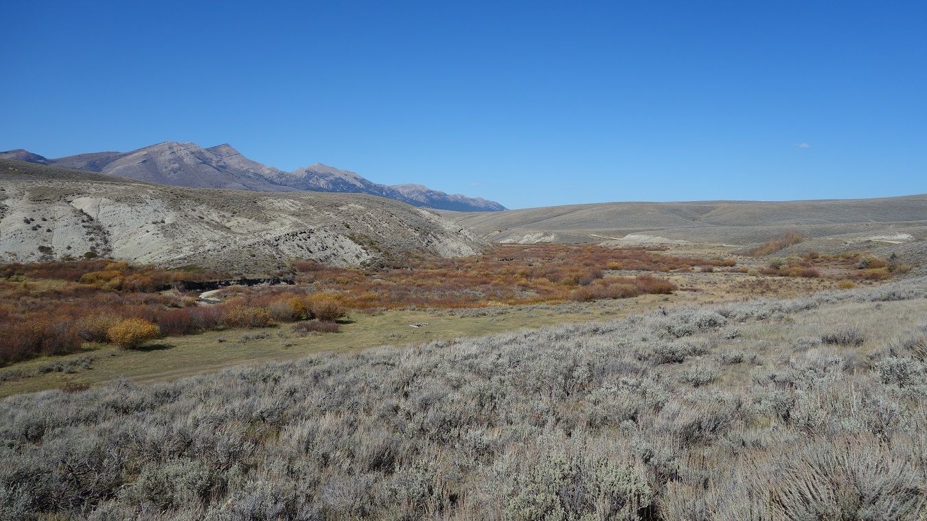
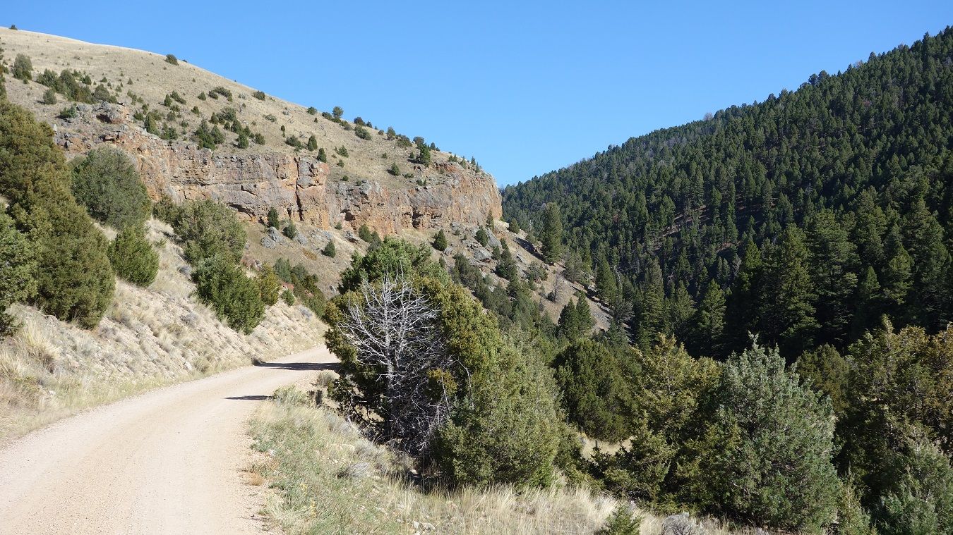
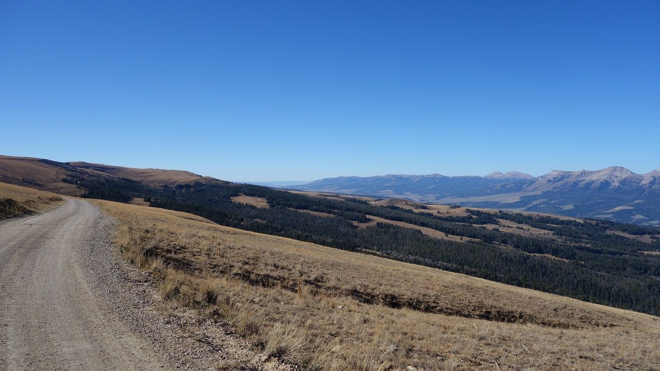
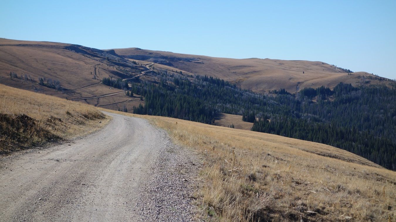
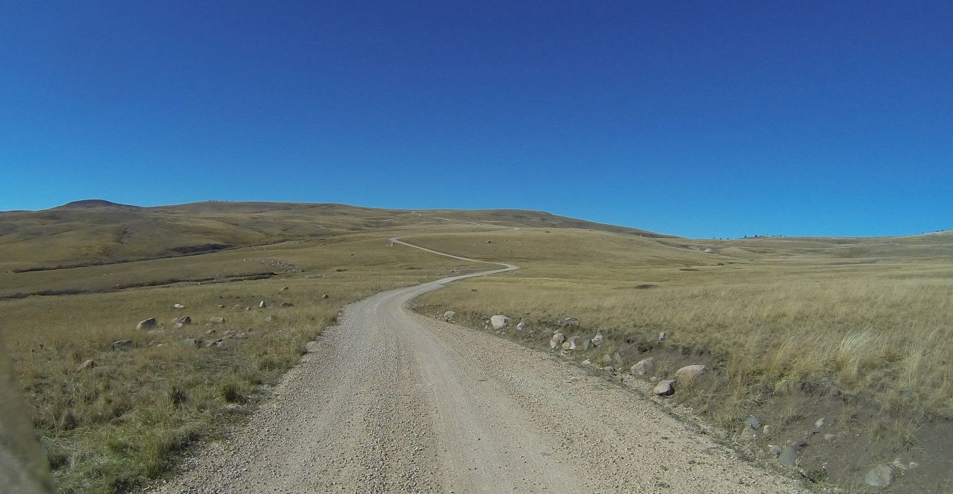
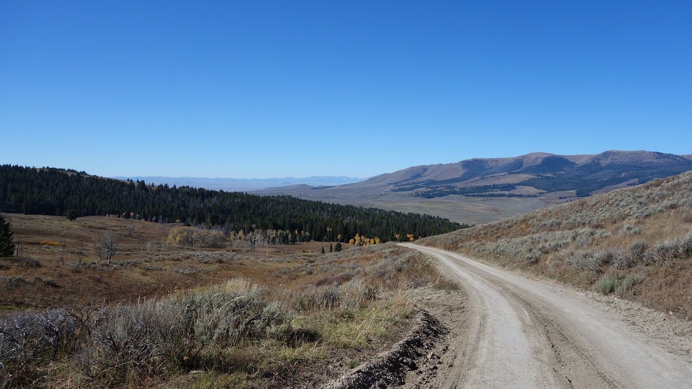
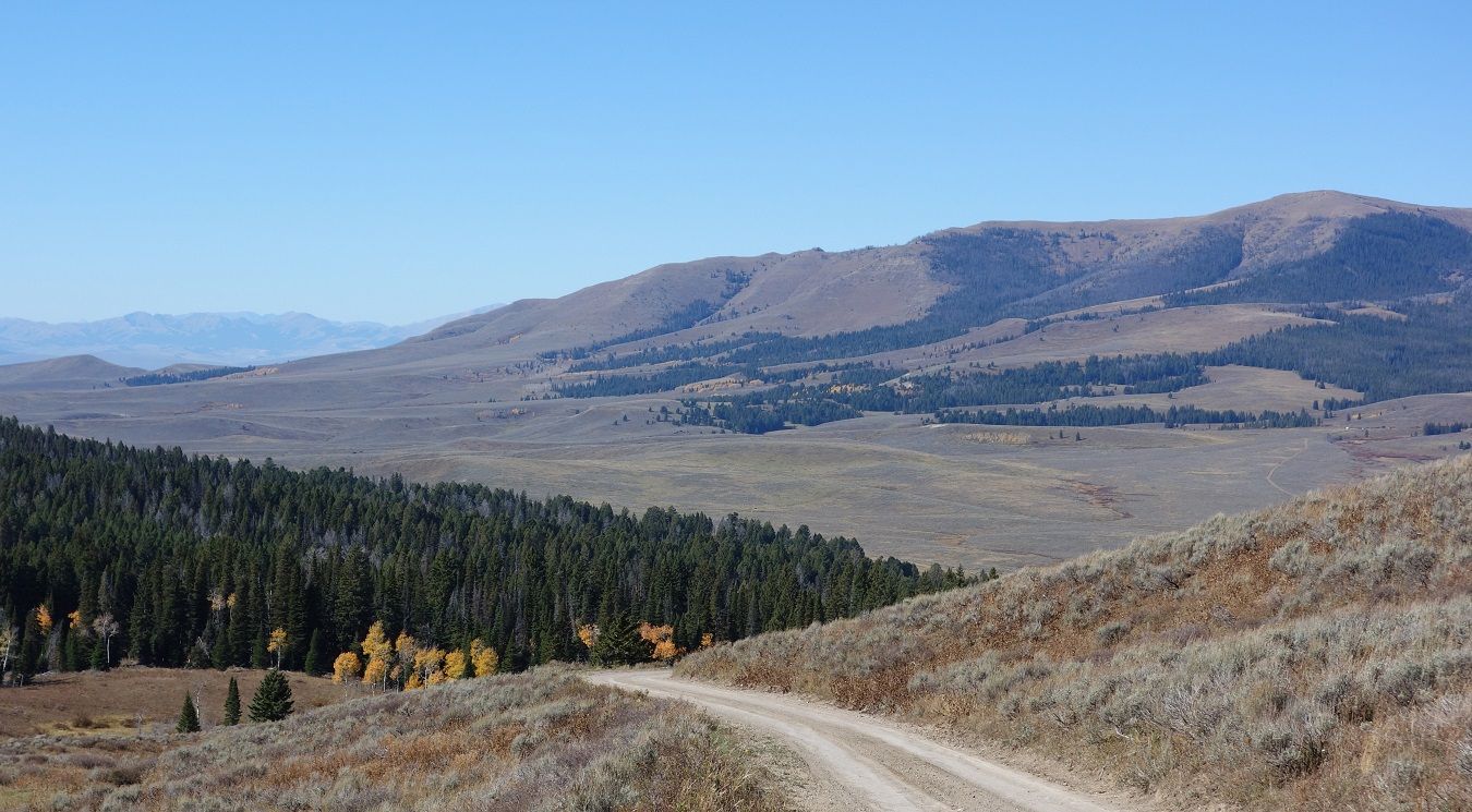
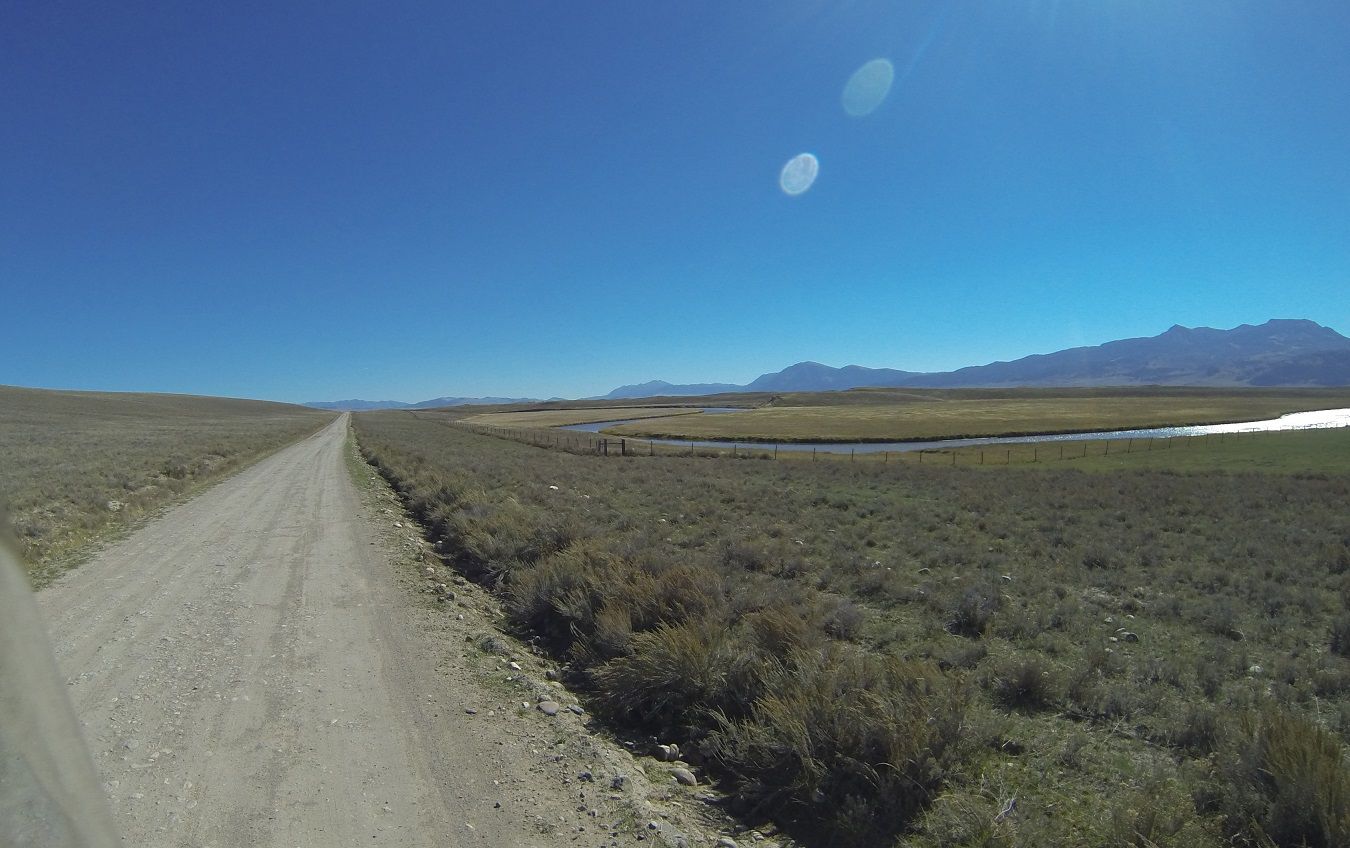
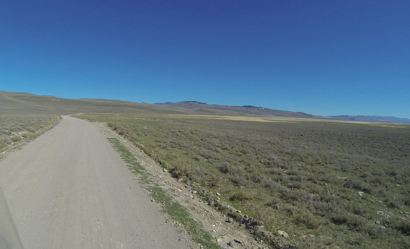
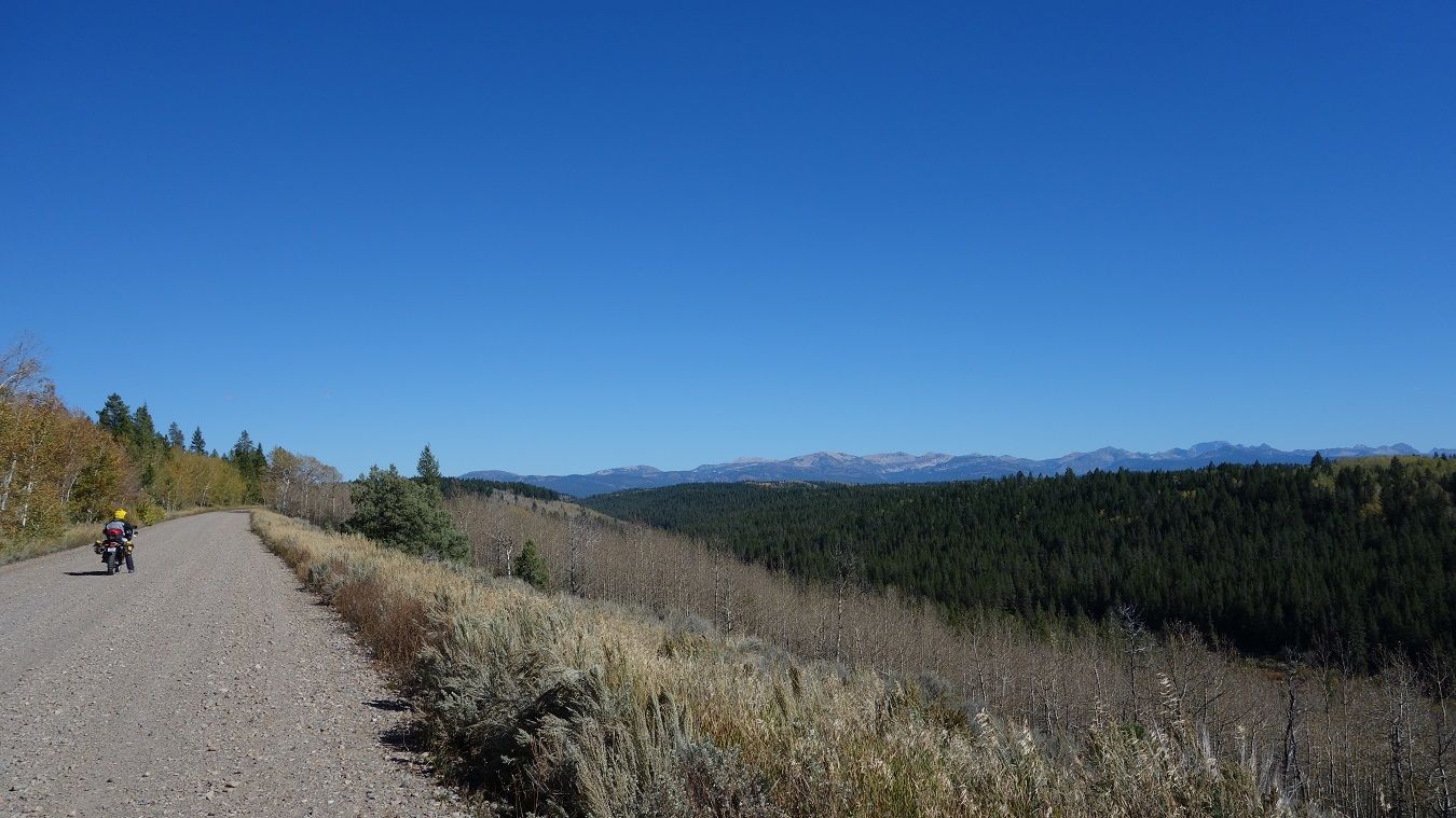
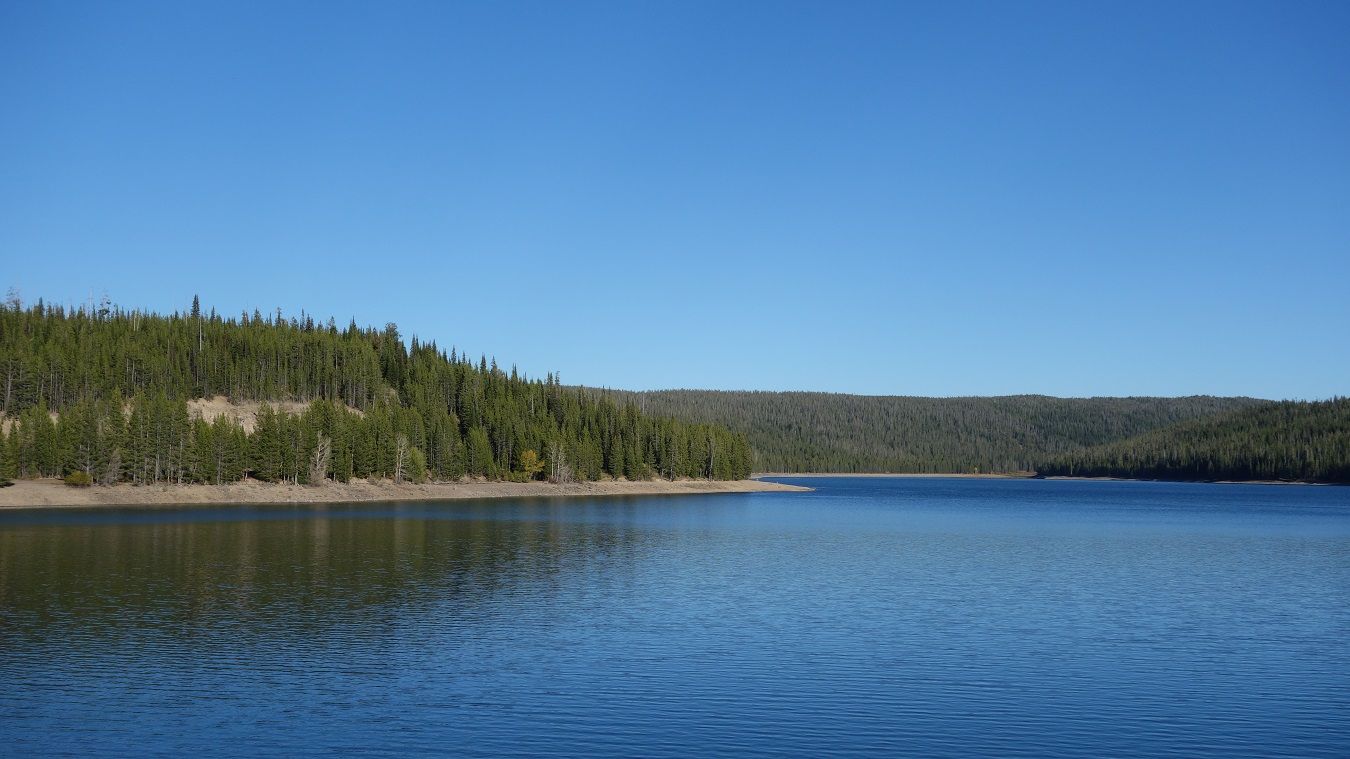
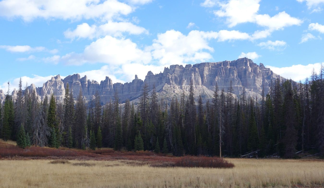
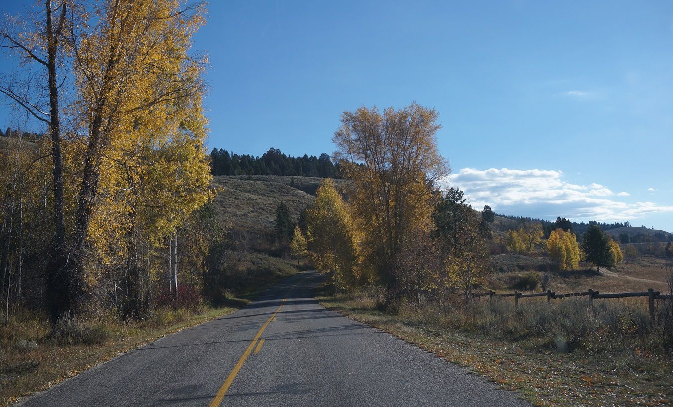
The day starts with some pretty nice roads skirting the south side of Yellowstone.

9-27-14d178.jpg~original


9-27-14d184.jpg~original
 

Forum statistics

Threads
186,032
Messages
2,881,137
Members
225,705
Latest member
Smudge12
Top