Upper Peninsula; Marquette to Whitefish Point

T.Low

Expedition Leader
Co-opski said:
The UP is a true gem. In all of my travels I would categorize it as one of the most scenic and wild areas. Thanks for the TR.


And do I have this right?: Detroit invaded Toledo, and the Federal Government stepped in. The Feds decided to give Toledo back to Ohio, take the penninsula off of Wisconsin and give it to Michigan as the U.P., and then granted statehood to Wisconsin. Not that I neccessarily care the particular name of the state that I'm exploring in, but its kinda interesting.

The UP for Toledo seems to be a good deal.
 

upcruiser

Perpetual Transient
From Wiki:

When the Michigan Territory was first established in 1805, it included only the Lower Peninsula and the eastern portion of the Upper Peninsula. In 1819 the territory was expanded to include the remainder of the Upper Peninsula, all of Wisconsin, and part of Minnesota (previously included in the Indiana and Illinois Territories). When Michigan was preparing for statehood in the 1830s, the boundaries proposed corresponded to the original territorial boundaries, with some proposals even leaving the Upper Peninsula out entirely. Meanwhile, the territory was involved in a border dispute with the state of Ohio in a conflict known as the Toledo War.

The people of Michigan approved a constitution in May 1835 and elected state officials in late autumn 1835. Although the state government was not yet recognized by the United States Congress, the territorial government effectively ceased to exist. A constitutional convention of the state legislature refused a compromise to accept the full Upper Peninsula in exchange for ceding the Toledo Strip to Ohio. A second convention, hastily convened by Governor Stevens Thomson Mason, consisting primarily of Mason supporters, agreed in December 1836 to accept the U.P. in exchange for the Toledo Strip.
 

taco2go

Explorer
I just read this thread-Very very nice trip report Upcruiser, and I may have missed you by a few days! I just took my family on a short trip from Whitefish Point to Crisp Point last weekend . We camped one night.
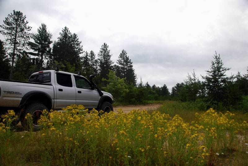
I have to mention that WFP is also a great birdwatching habitat . Some pics from our trip- just to attest to the beauty of this region. I hope you don't mind me posting these in your thread.
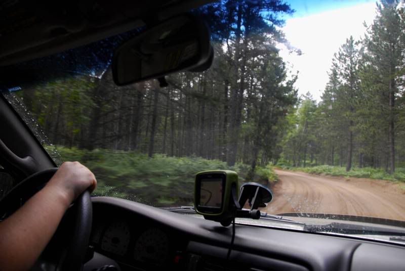
Most of the ORV routes/trails showed up on the GPS
Trail2.jpg

Trail1.jpg

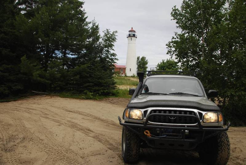
CrispPoint2.jpg

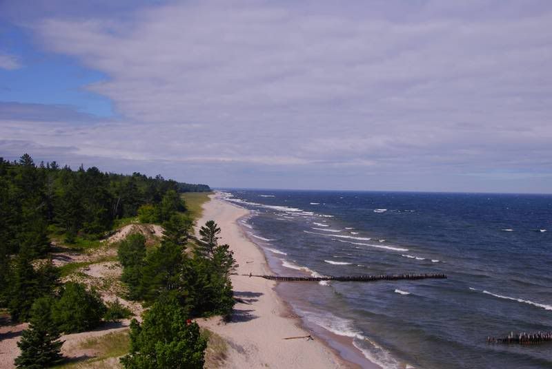
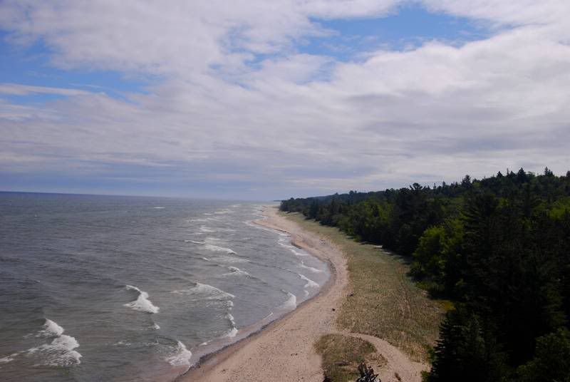
View from the top
Shoreline1.jpg

shoreline2jpg.jpg

Trail3.jpg

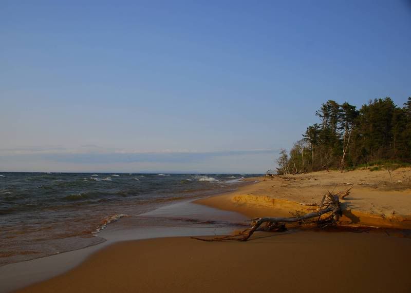
He is absolutely right about the miles of endless remote beaches
shoreline3.jpg
 

Rattler

Thornton Melon's Kid
taco2go said:
I just read this thread-Very very nice trip report Upcruiser, and I may have missed you by a few days! I just took my family on a short trip from Whitefish Point to Crisp Point last weekend . We camped one night.
I have to mention that WFP is also a great birdwatching habitat . Some pics from our trip- just to attest to the beauty of this region. I hope you don't mind me posting these in your thread.
Most of the ORV routes/trails showed up on the GPS
Trail2.jpg

Trail1.jpg

CrispPoint2.jpg

View from the top
Shoreline1.jpg

shoreline2jpg.jpg

Trail3.jpg

He is absolutely right about the miles of endless remote beaches
shoreline3.jpg

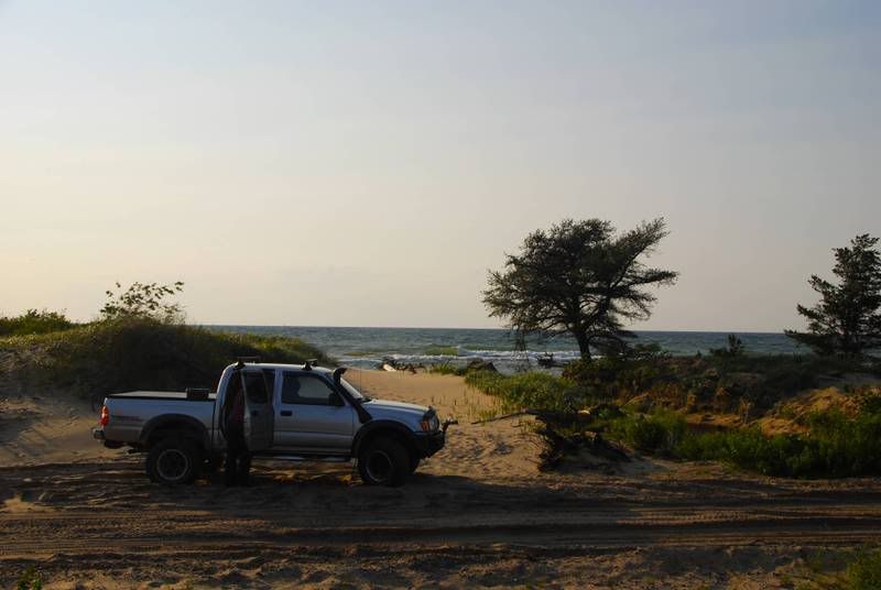
Nice pics too! Nice Doublecab as well. That an All Pro front bumper? I just added a rear APO bumper.
 

taco2go

Explorer
That is an All Pro Bumper- it's light and tight, with speed holes and everything. But I probably would have gone with an ARB unit if I could have afforded it at the time. The UP has big moose and deer. :eek:
 

tibaal89

Adventurer
Very cool! I did a number of those roads on my Sportster a few years ago when I did that sort of thing.

I lived in Milwaukee at the time and was used to seeing Lake Michigan... when I first saw Lake Superior, I couldn't believe how much better it looked! A nice blue color compared to.... whatever weird mutant color Lake Michigan is. ;)
 

upcruiser

Perpetual Transient
Joash, wow, great pictures! Makes me really wish I could have been to the lighthouse on the weekend to be able to go into it. Weekdays it is locked up. I suspect we probably followed the same routes across from Whitefish point. Your post also confirms that I need to invest in a newer, nicer GPS. haha
 

upcruiser

Perpetual Transient
tibaal89 said:
Very cool! I did a number of those roads on my Sportster a few years ago when I did that sort of thing.

I lived in Milwaukee at the time and was used to seeing Lake Michigan... when I first saw Lake Superior, I couldn't believe how much better it looked! A nice blue color compared to.... whatever weird mutant color Lake Michigan is. ;)

Its wild how different various areas of Lake Michigan look. For example the north shore of the Lake is usually super clear with an aquamarine hue to it, same as the coast of the Leelanau peninsula west of Traverse City. Since the invasion of the zebra mussells, the water clarity in lakes Michigan, Huron, and Erie has dramatically improved.
 

Rattler

Thornton Melon's Kid
upcruiser said:
Its wild how different various areas of Lake Michigan look. For example the north shore of the Lake is usually super clear with an aquamarine hue to it, same as the coast of the Leelanau peninsula west of Traverse City. Since the invasion of the zebra mussells, the water clarity in lakes Michigan, Huron, and Erie has dramatically improved.

The Saginaw Bay here is always a beautiful shade of brown until you get out aways. If its not the run-off from all it's tributaries its the sewer overflow from Saginaw.
 

rokklym

One Man Wolfpack
Here are some crude maps I put together of the route. Blue is upaved, red is paved for reference. A couple of the maps have alot of overlap, sorry about that! I used my atlas, GPS, Google Earth, and MS paint to make them up. A rich mixture of technology and stupidity. Hope I'm not offending the tech saavy! haha ;)

Awesome trip and photos! The maps aren't showing up, any way you could post them?
 

Every Miles A Memory

Expedition Leader
This is the first time I've seen this report, and what a great job you did with describing this area!

We were a couple of trolls (People who live below the Mackinaw Bridge) and would get to the U.P. every chance we could.

My wife and I both love paddling and the beautiful rivers, waterfalls and endless two track the U.P. offers was like having a giant playground all to ourselves.

We actually taught our daughter to drive in the U.P. when she was only 13. We would put her behind the wheel of our Ranger Kingcab and let her bomb down the dirt roads all day long.

You're not lying when you say you can drive for hours, sometimes days without seeing another person.

For anyone heading that way this summer. I would recommend to paddle the Two Hearted River (one of absolute favorites) and either paddle across the bay and circumnavigate Grand Island which is right out from downtown Munising, or take the ferry (a pontoon boat) and mountain bike the loop trail.

We've done both and both offer breath taking vistas of Lake Superior.

Thanks for a great post! I could put up photos from our U.P. trips all day long:victory:
 

T.Low

Expedition Leader
We used to sea kayak from Grand Marais (MI. of course, not Mn.) to Munising, stopping at 12 Mile Campground, then finish up with dinner at the Dog Patch. Best looking waitresses in the UP. Food wasn't bad, either

Even the car shuttle down the sandy roads was fun. I live in Wa state now, and people just don't believe me when I tell them how beautiful Mi.'s UP is. Or all of Lk. Superior for that matter.
 

Every Miles A Memory

Expedition Leader
people just don't believe me when I tell them how beautiful Mi.'s UP is. Or all of Lk. Superior for that matter.

I get the same type of remarks when I show people pictures from our U.P. adventures. Most will ask "Where is that?"

When I say Michigan, they always come back with "No Way, that is Beautiful!" The U.P. is amazing and has so much to offer.

We've kayaked the same stretch you're talking about many times and hav some wild stories from being caught in big waves to paddling under a full moon on a dead calm night. Something I'll never do again, but we wanted to get pictures of spray falls during sunset and didnt realize how far we had paddled:Wow1:
 

upcruiser

Perpetual Transient
Awesome trip and photos! The maps aren't showing up, any way you could post them?

Bummer, the attachments must have disappeared when they updated the ExPo site this past winter. Unfortunately I lost those pictures when my computer crashed last fall too, so I don't have them any more. For this August's UP Overland Trip we will be using a good portion of that route, specifically Pictured Rocks west to Whitefish Pt. There will be a map created at some point and posted in the new thread for it. If you need some specific info I could try talking you through it too. Feel free to shoot me a line.
 

Forum statistics

Threads
186,078
Messages
2,881,712
Members
225,874
Latest member
Mitch Bears
Top