eurosonic
Expedition Leader
Last Saturday woke up in the morning and felt the calling!
Quickly packed up, grabbed whatever was in fridge and pantry and took off to the mountains. Of course had to stop by and get some brewskies and water")
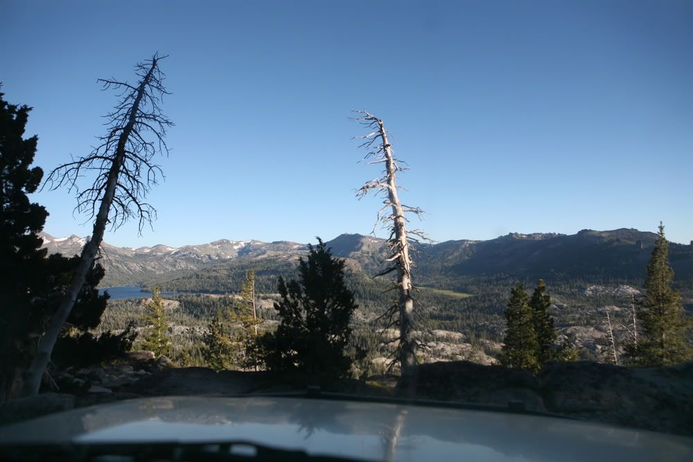
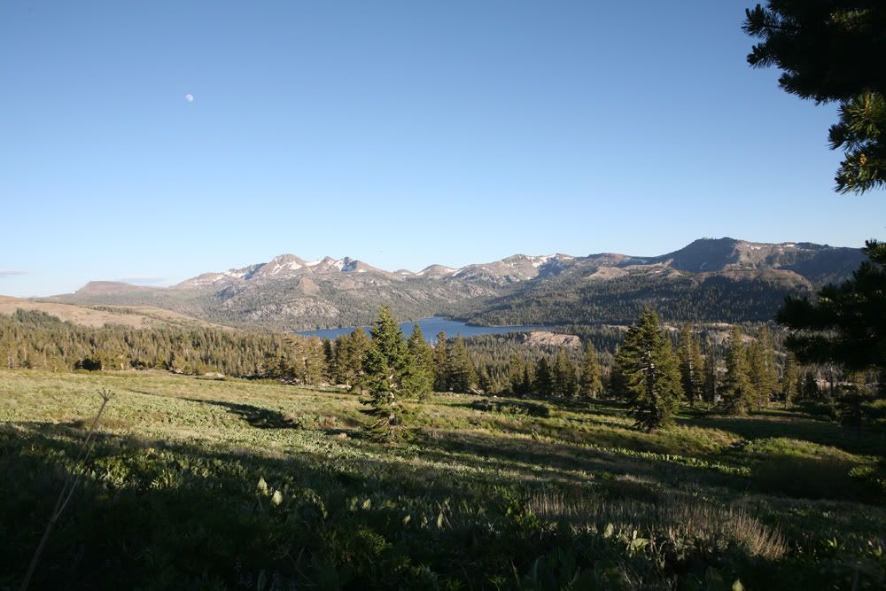
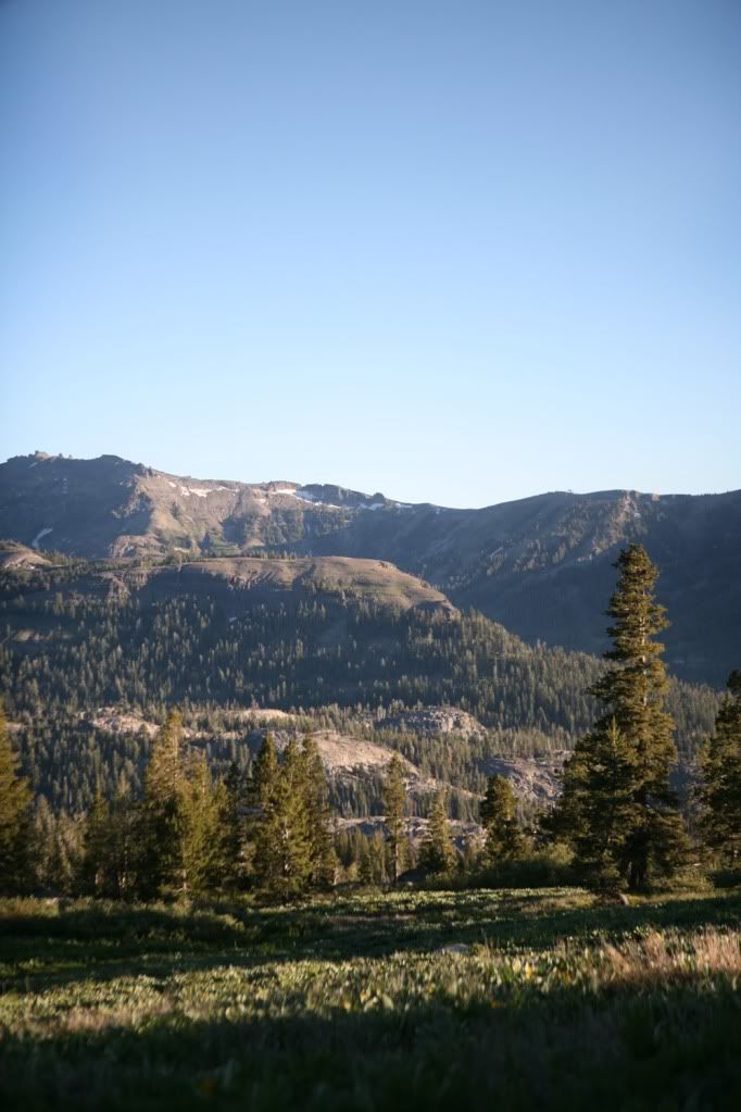
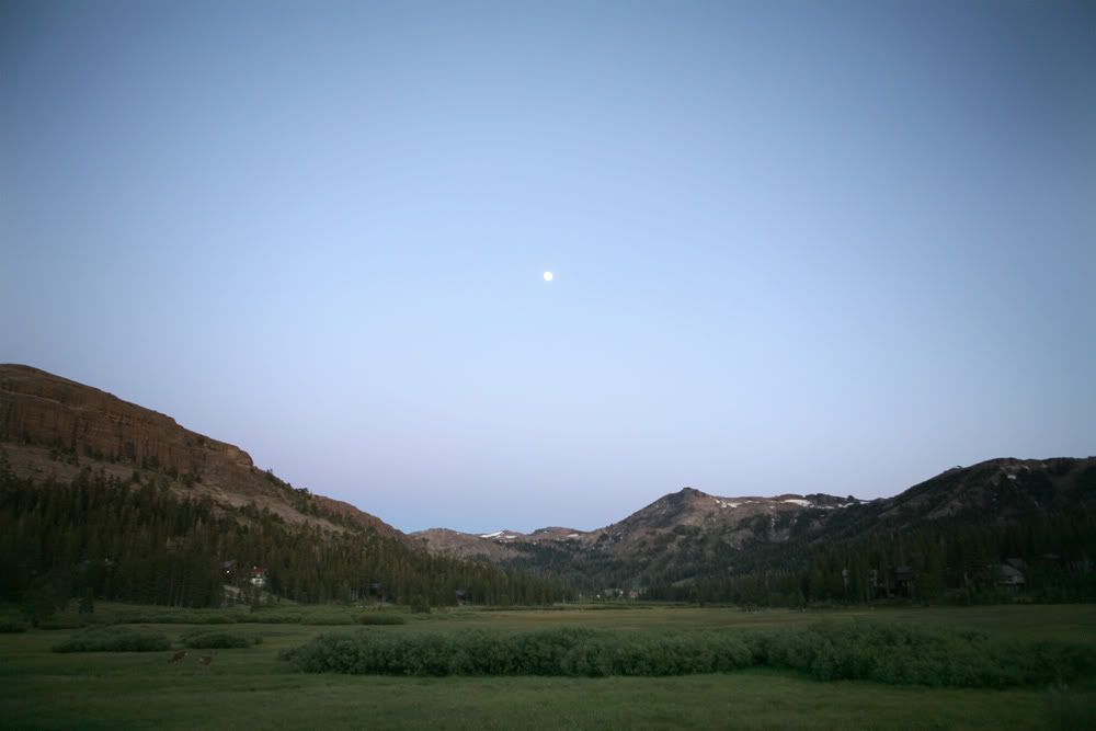
This time we're off to a relatively local trail, about 80 miles east from Sacramento, down Highway 50 towards South Lake Tahoe. Trail is named Strawberry Pass, which reaches out from Highway 50 to Caples Lake, on Highway 88. Highest elevation was a bit over 8600 feet.
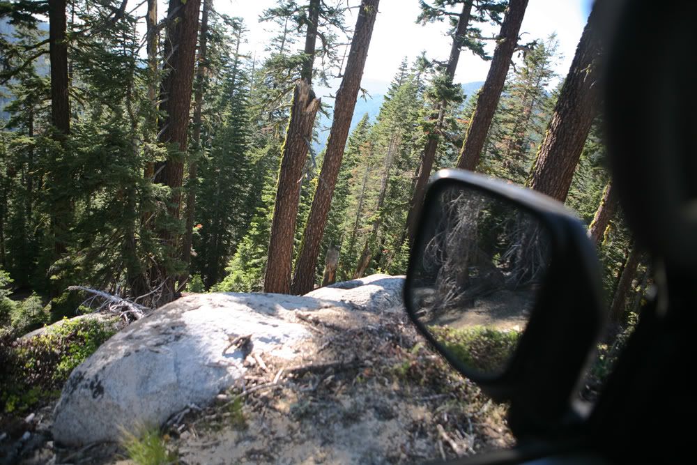
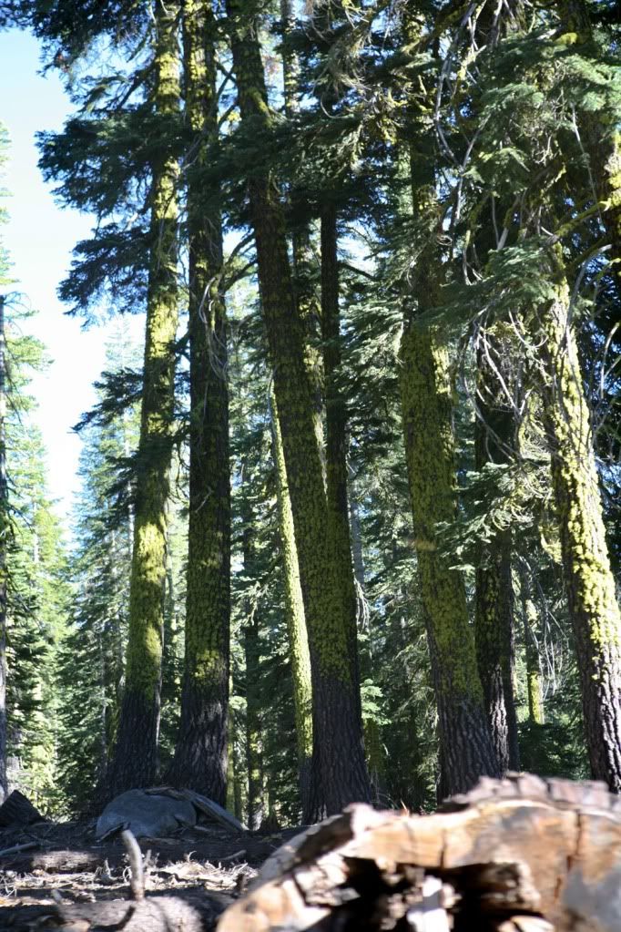
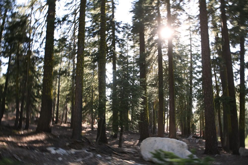
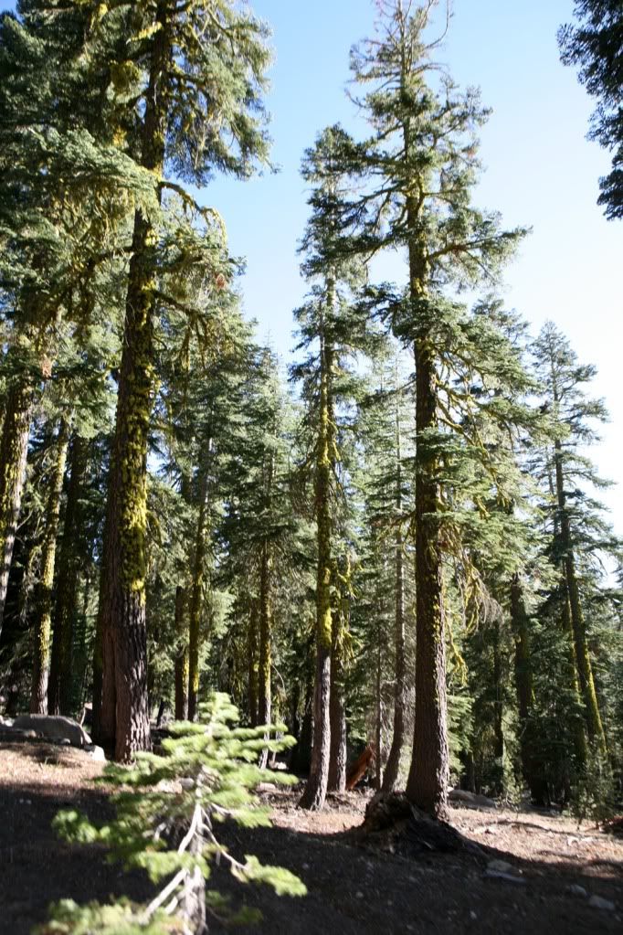
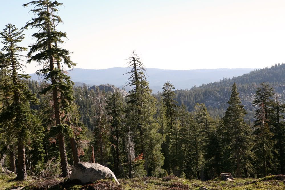
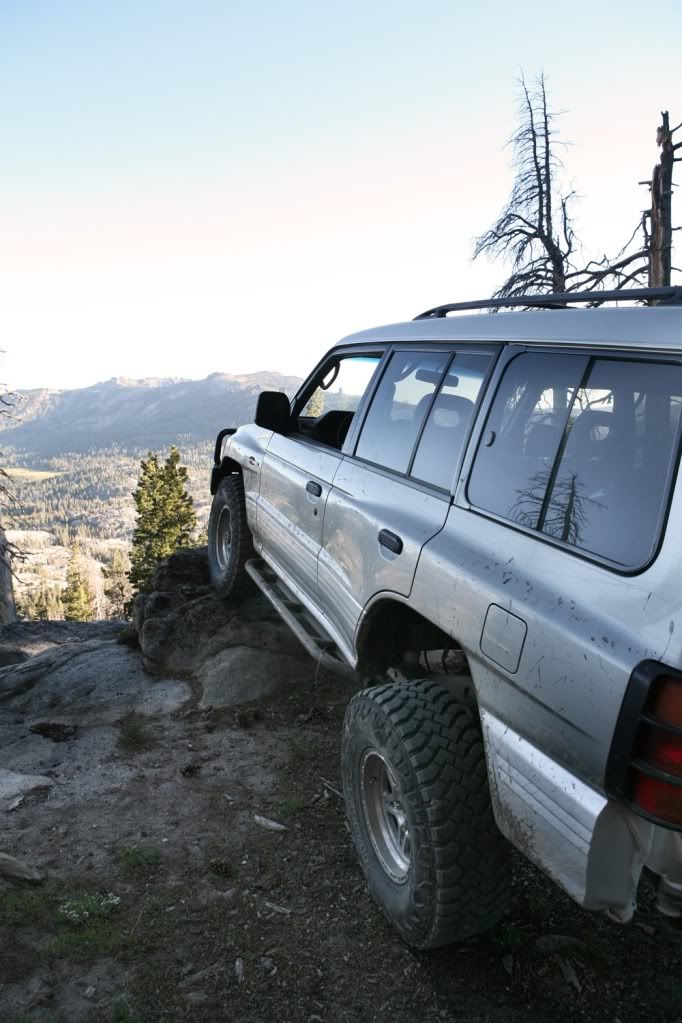
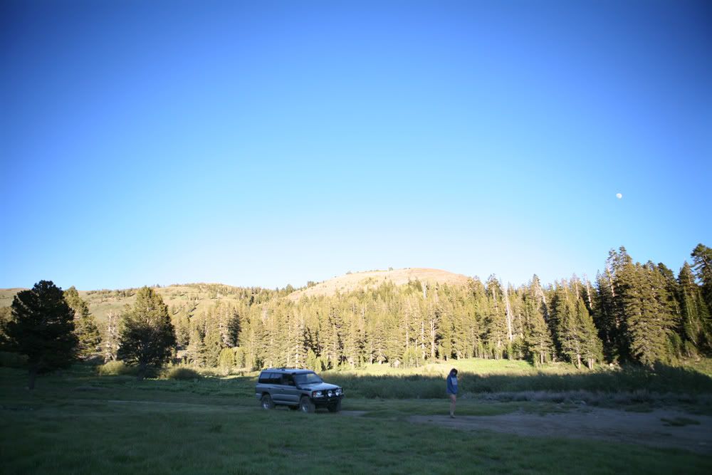
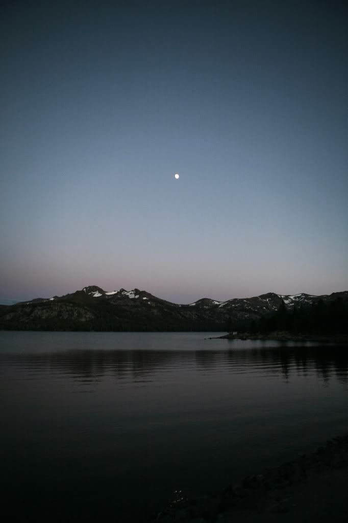
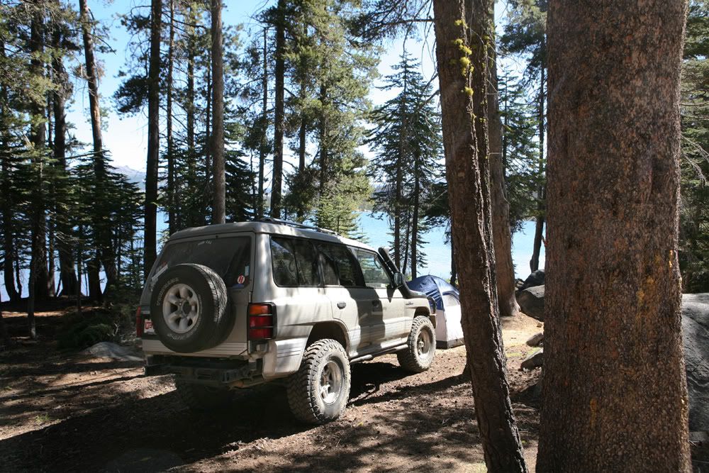
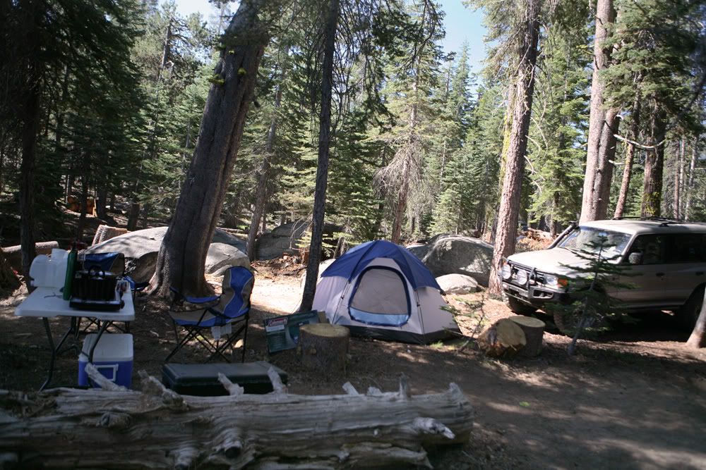
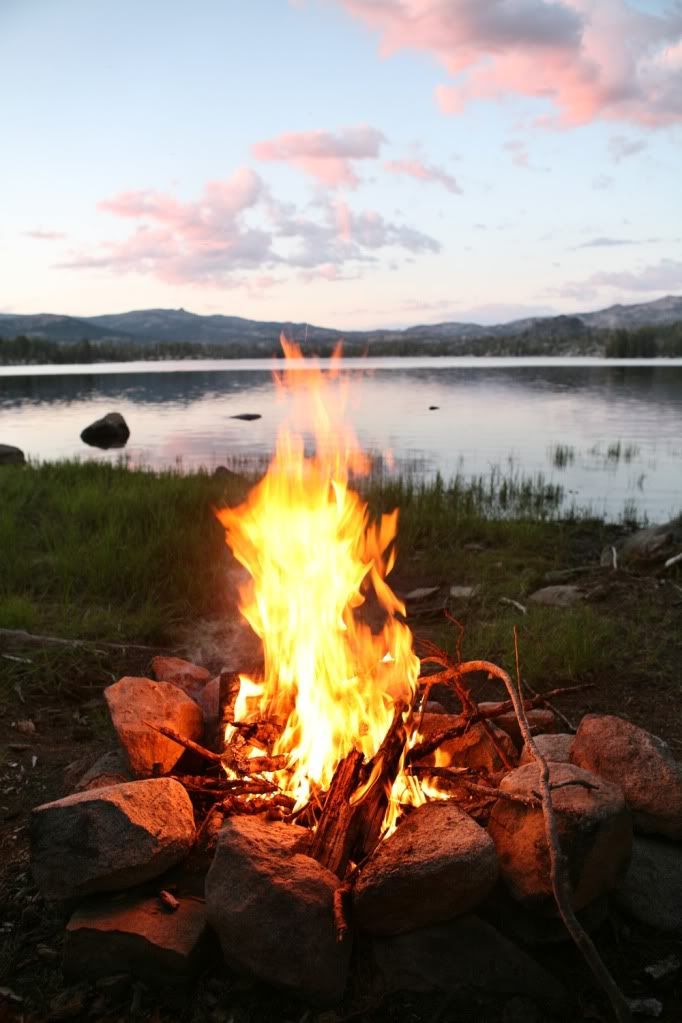
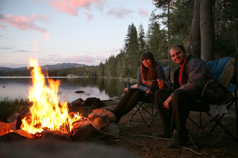
Trail was right up the alley for my vehicles capability, although at one time I almost turned around. Clearance was the biggest concern. For the most part it is a very scenic climb, beautiful views, enchanted like forest passes, numerous stream crossings. Passed by many good places to break camp.
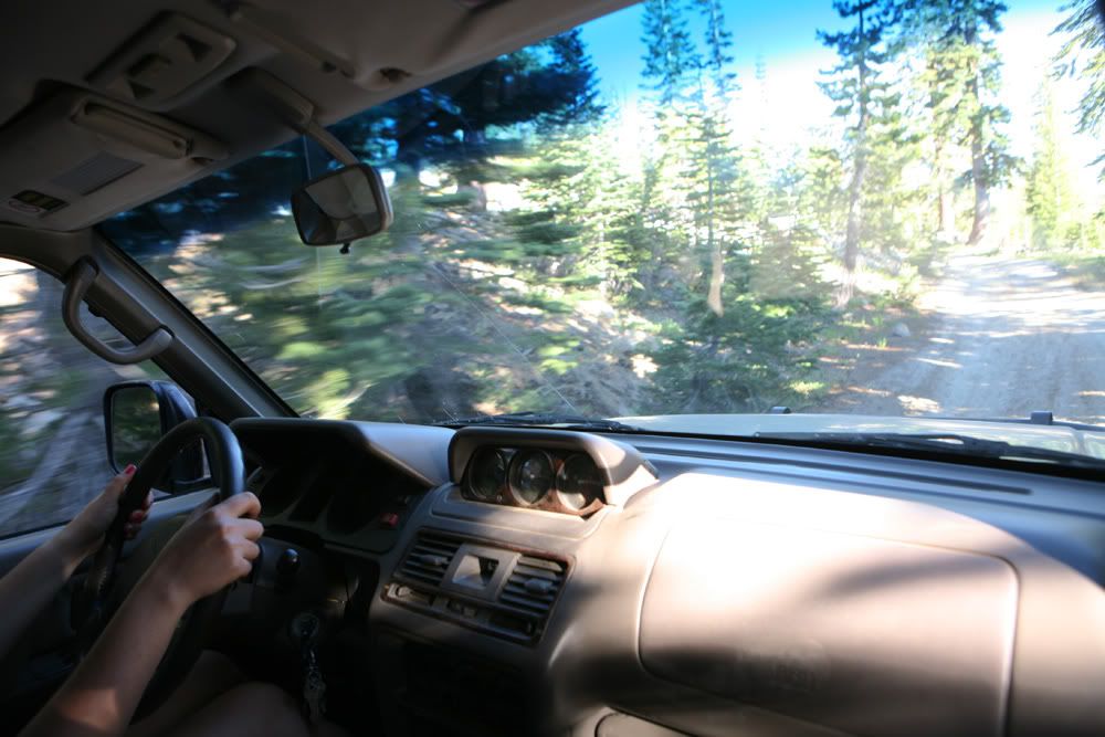
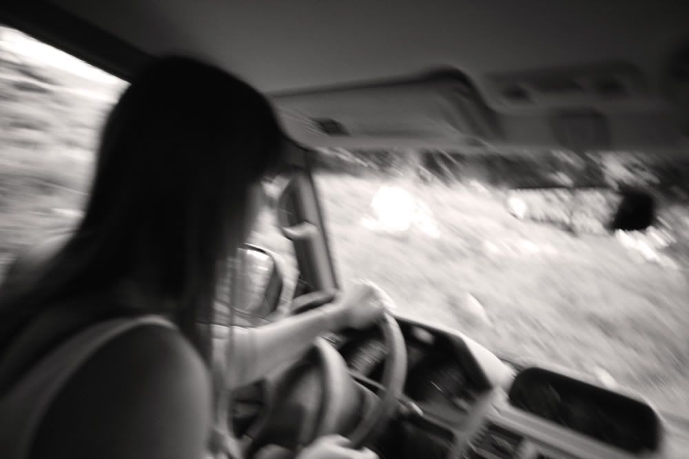
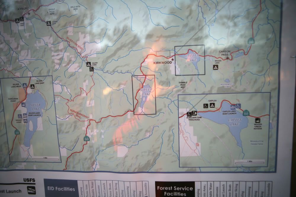
For navigation purposes I took my Ipad 3 with newly installed Topo Maps. I am so impressed by that software, probably one of the best $8 bucks that I ever spent on a map. IMO its worth much more than that. It was a great mapping tool, it kept us on the right track the entire time. GPS signal was always on the dot. I have the 3G model w/o data plan. I bought the iPad for this exact reason. Preloaded the USGS maps for the entire region and programmed in the GPS waypoint coordinates from home. Without it I probably would get lost due to many dead-end splits in the trail.
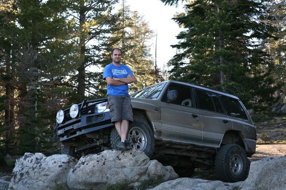
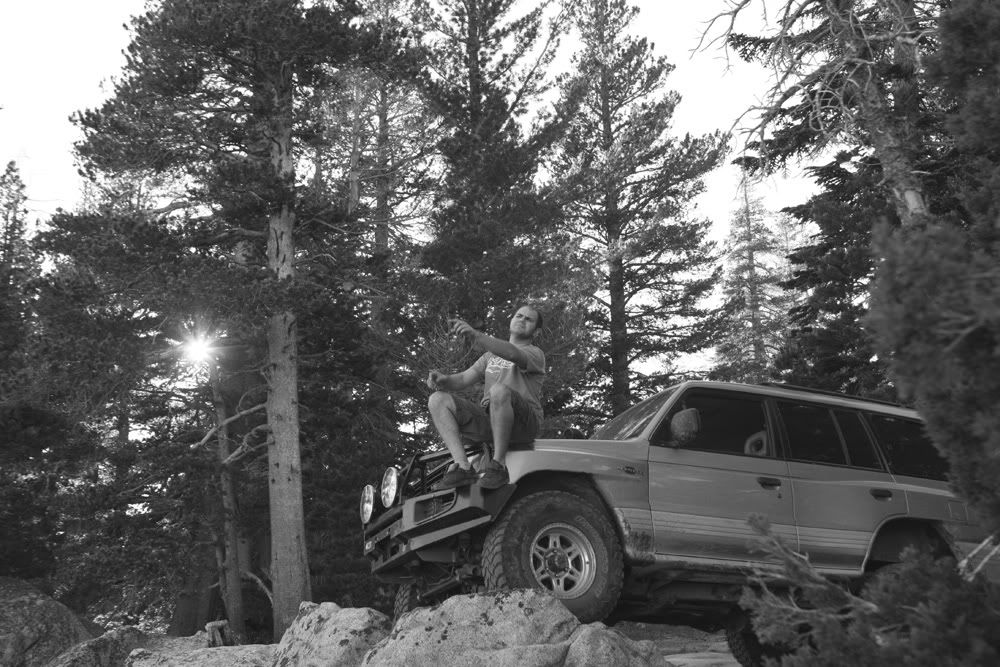
Any ways, here are picture from the trip
(photo eqp used: Canon 5D MK1 w/ 24-70L lens, iPhone 4.
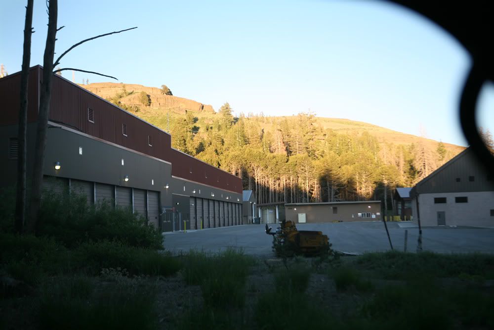
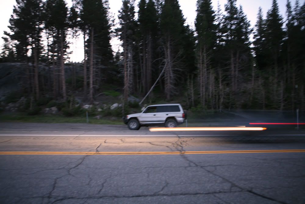
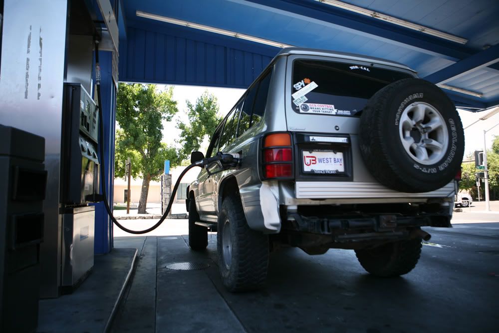
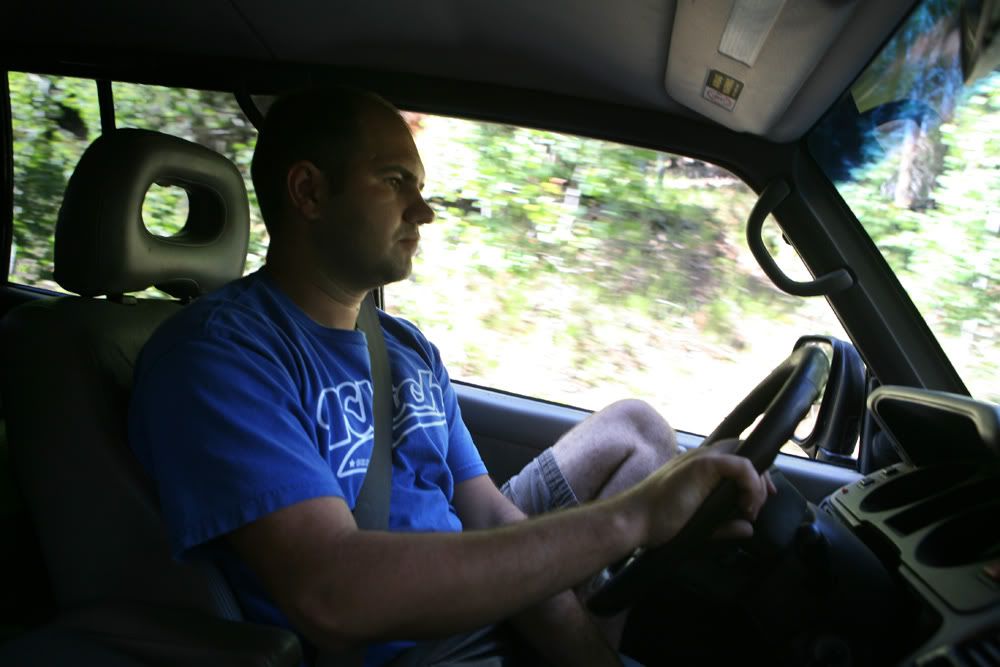
Fueling up
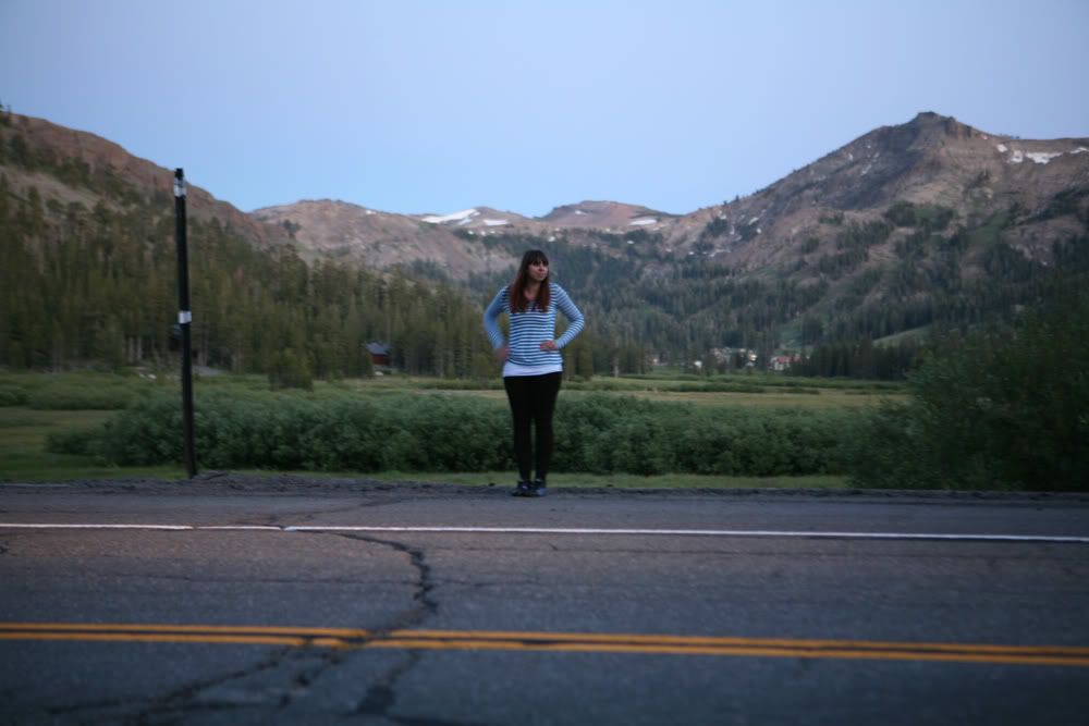
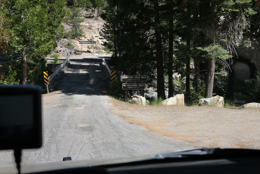
Got off at mile marker 42
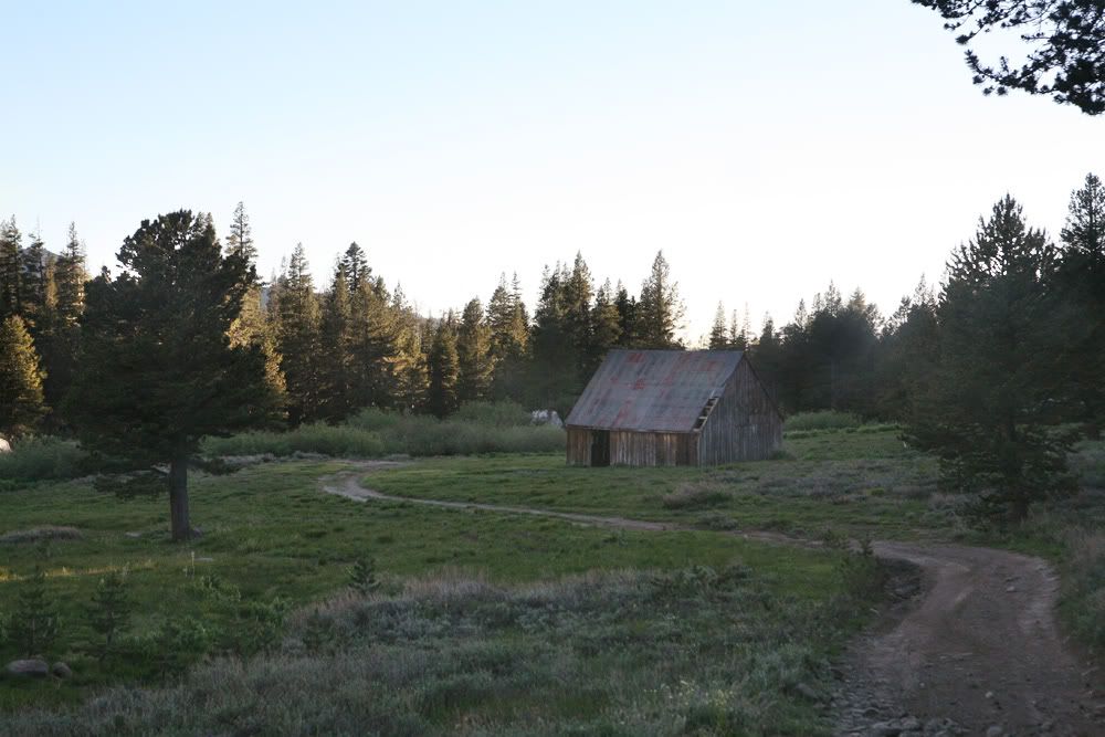
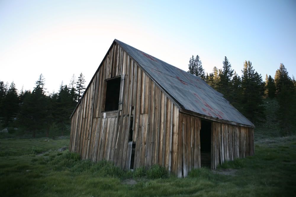
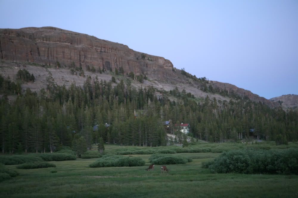
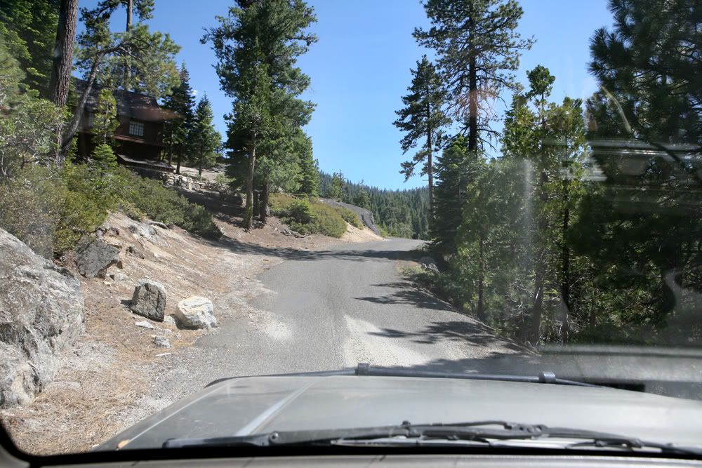
Many fancy cabins were all over place
iPad ******

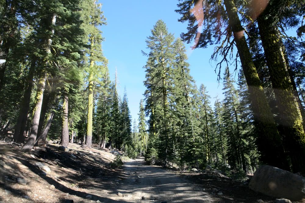
Got off the pavement
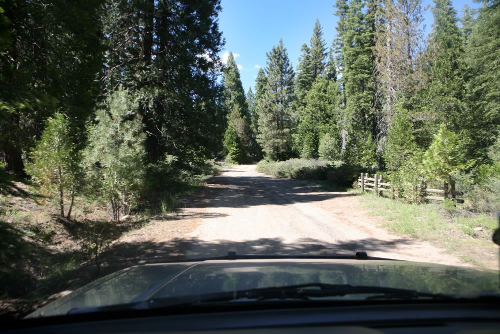
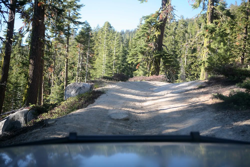
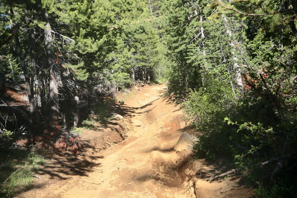
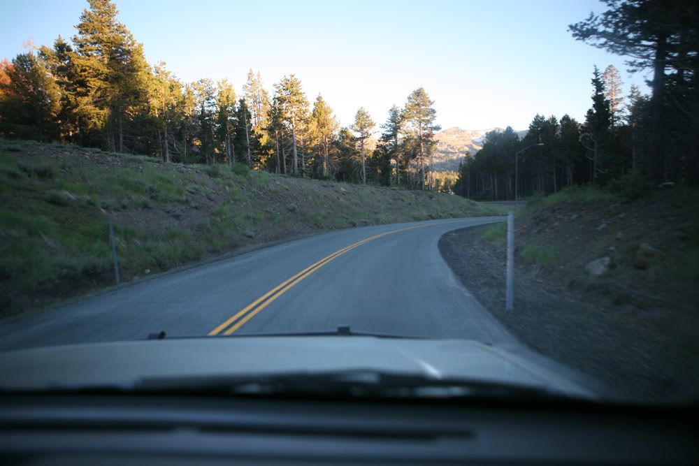
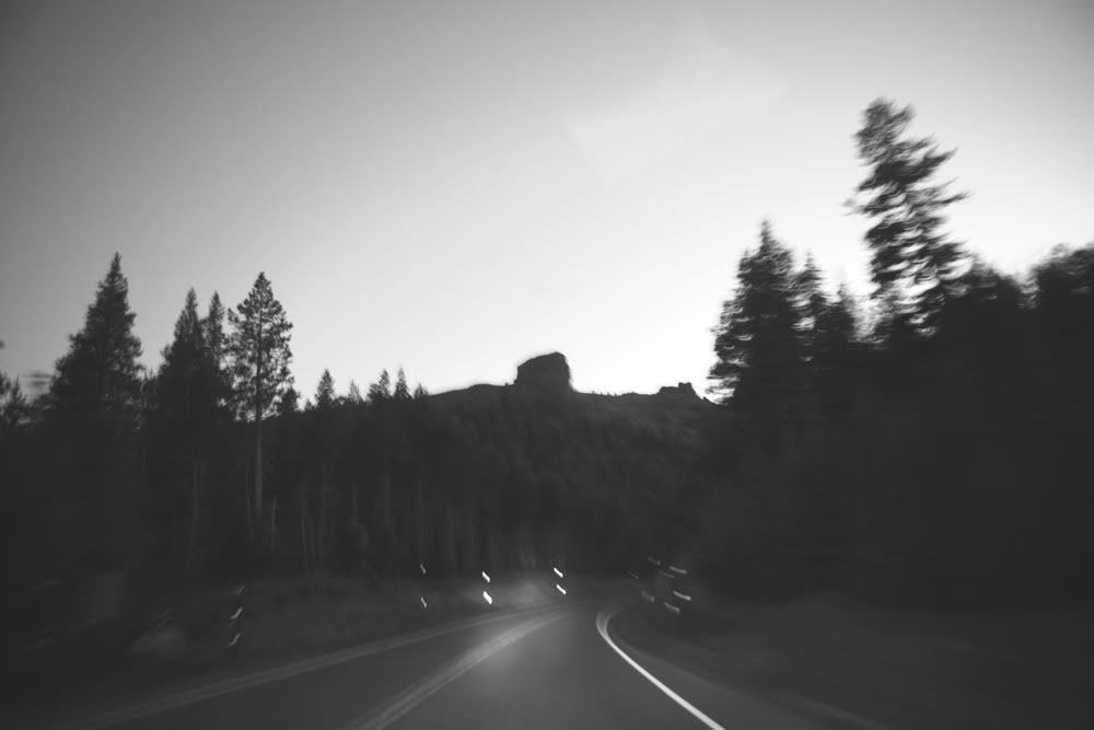
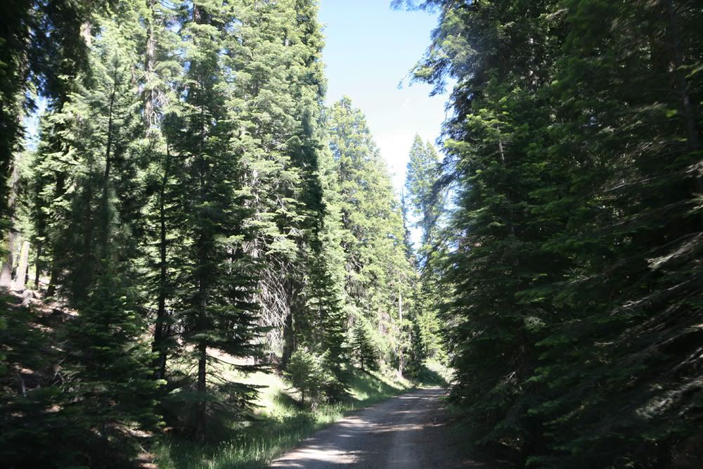
First few miles were pretty smooth
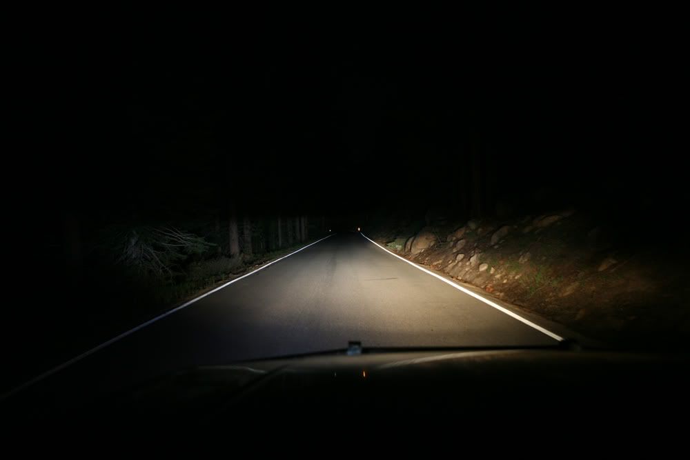
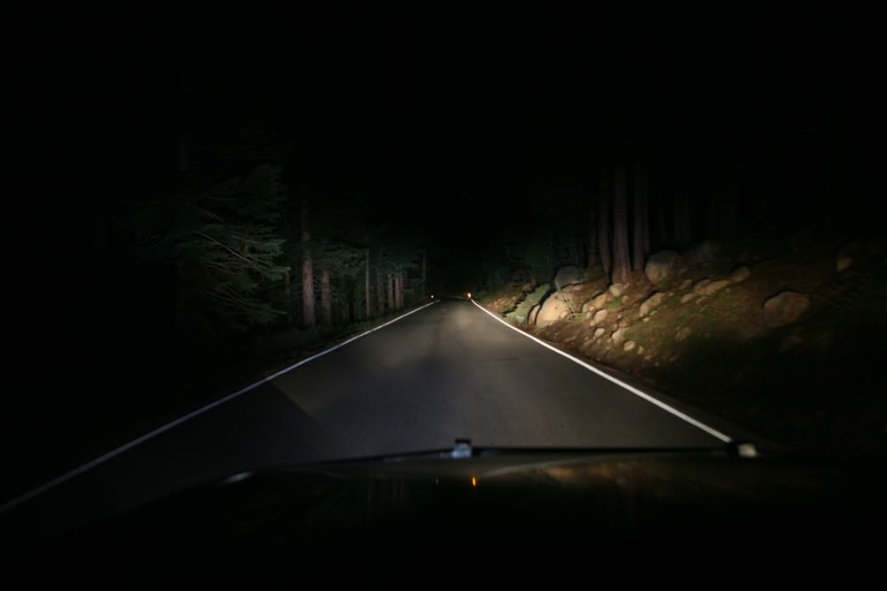
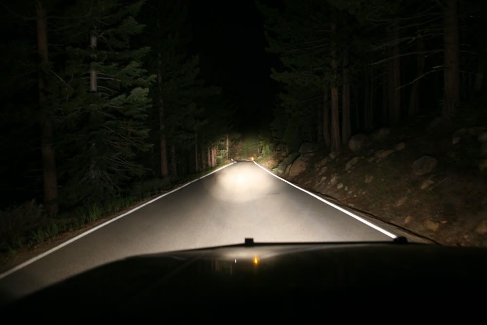
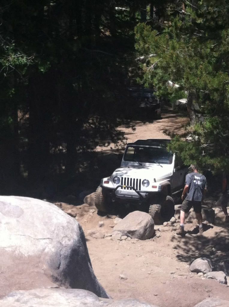
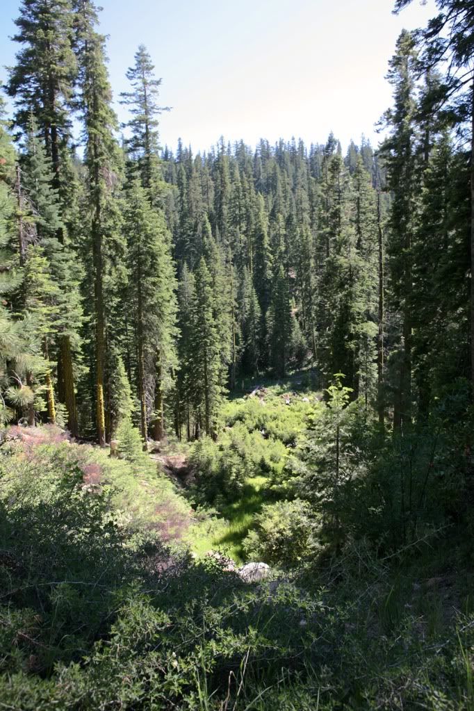
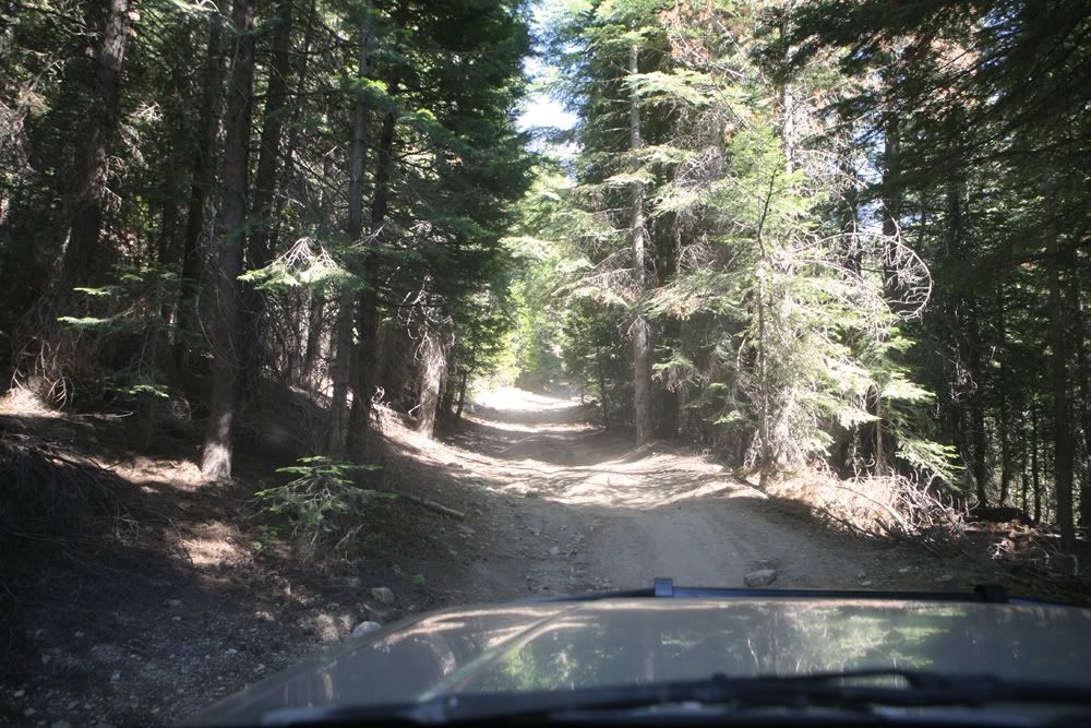
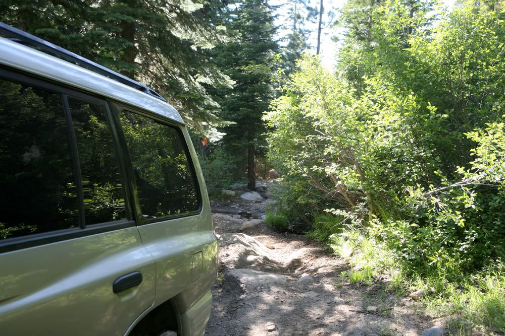
Many passing's like this
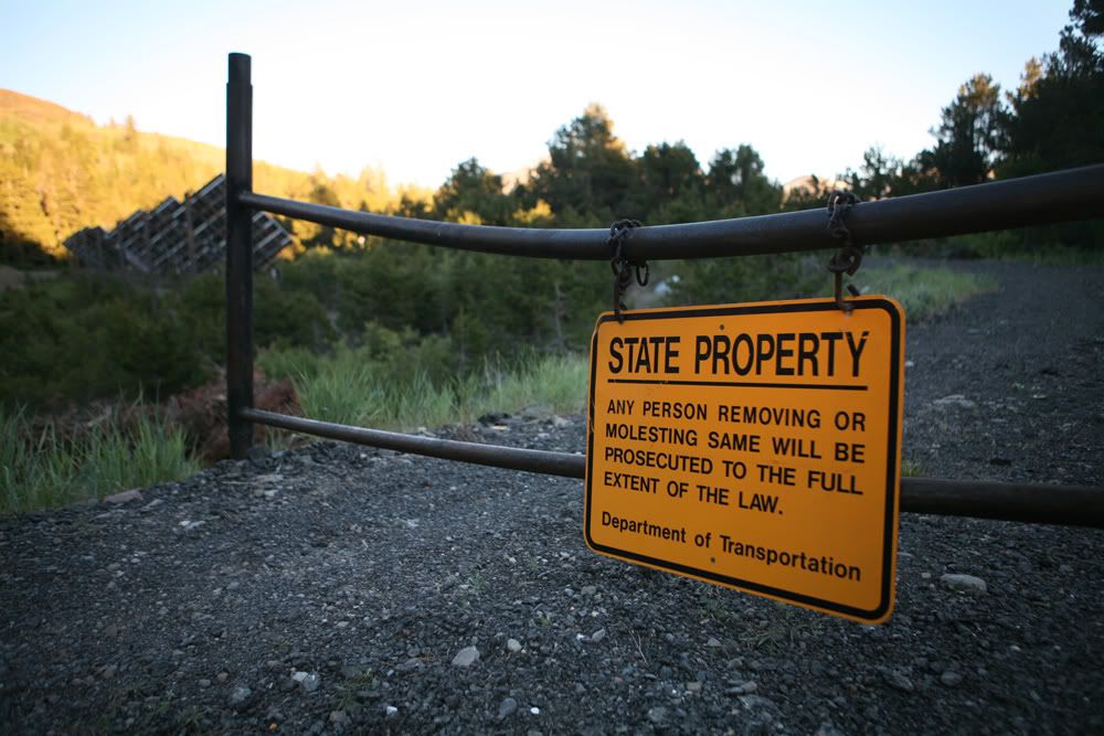
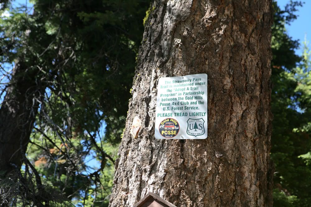
This sign is on the trail turnoff
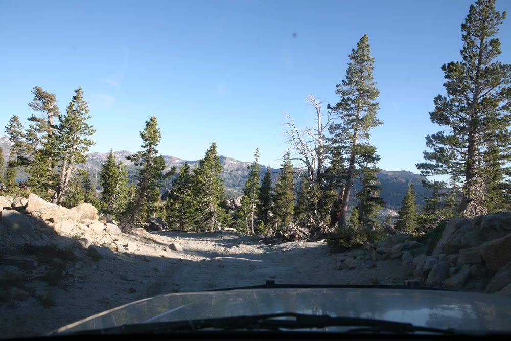
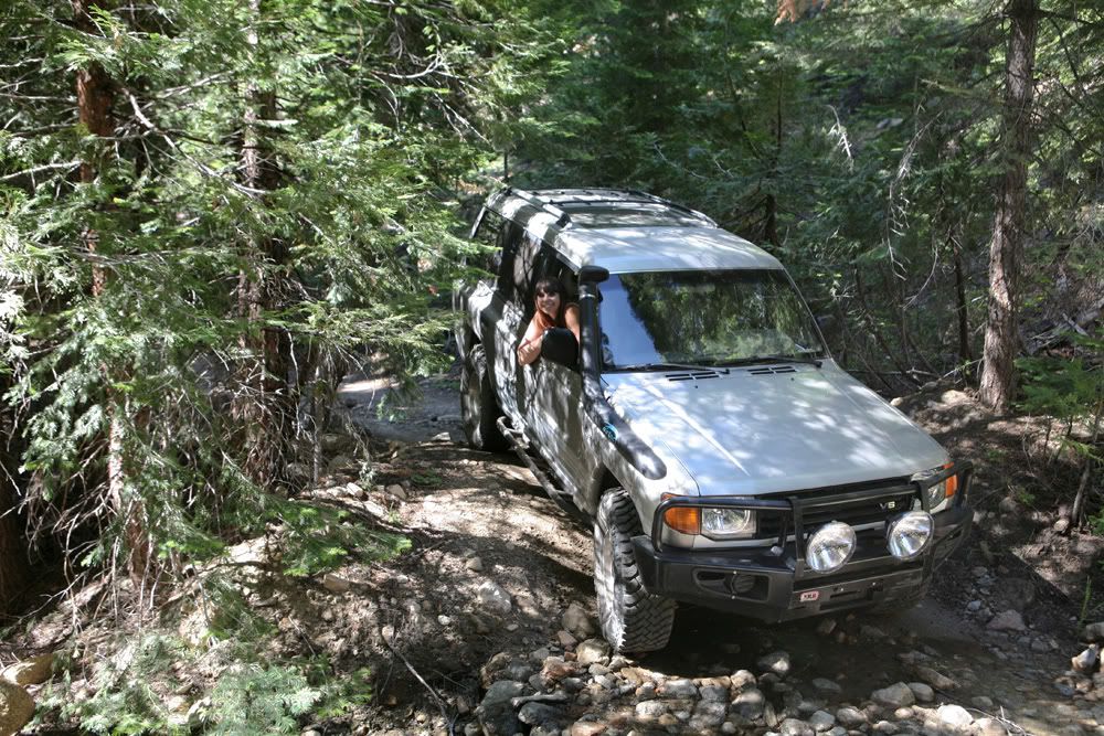
Finally begun to go up hill
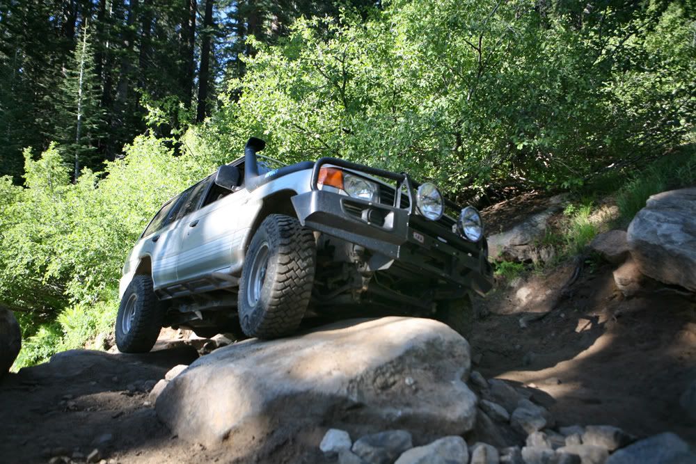
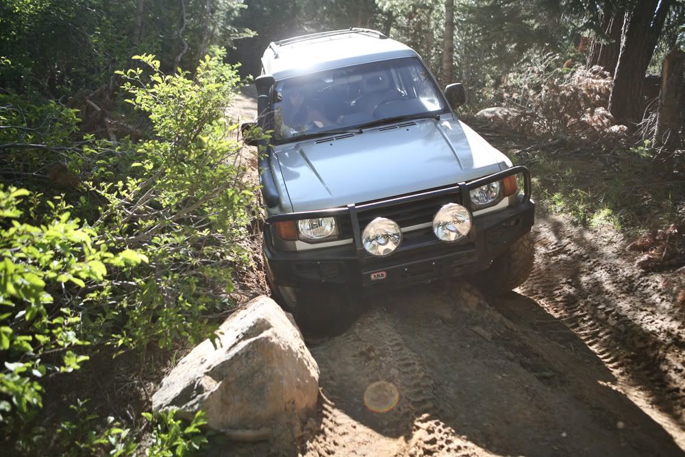
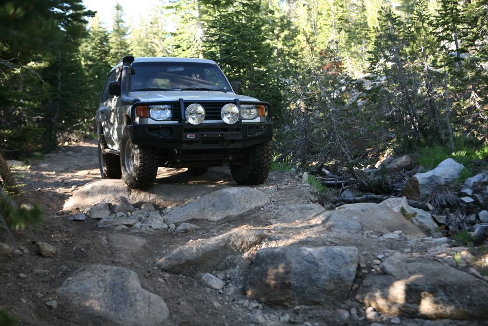
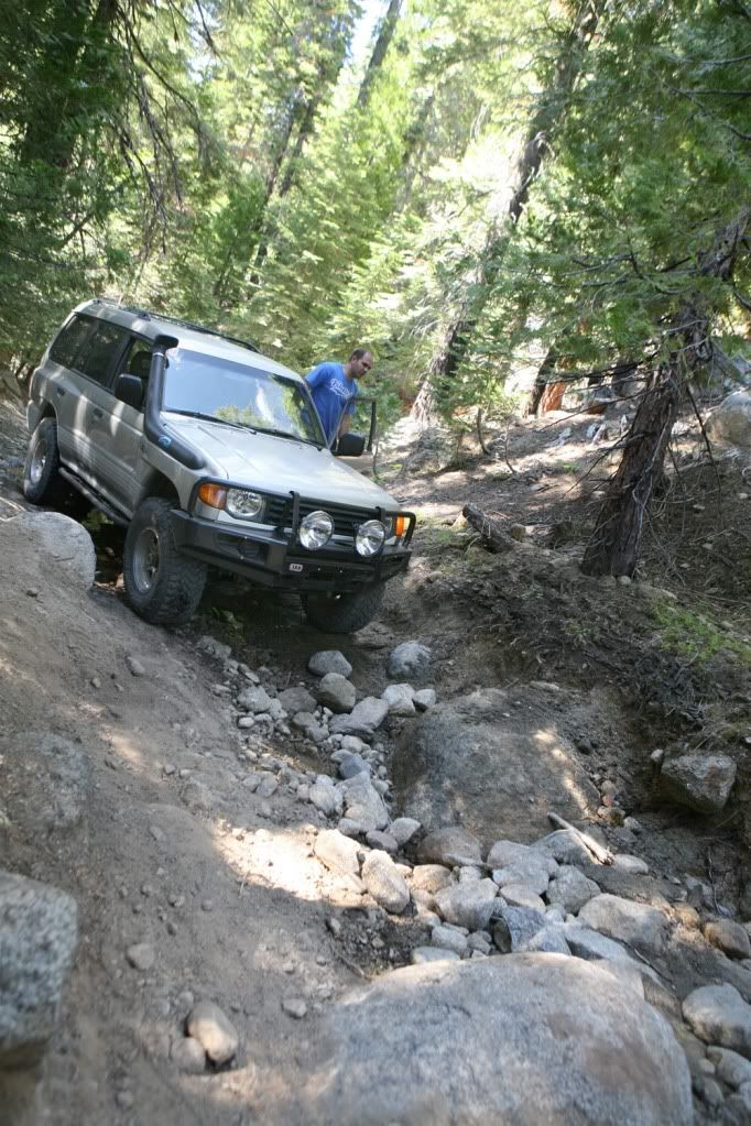
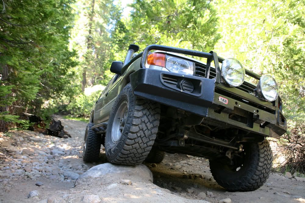
First few rock obstacles
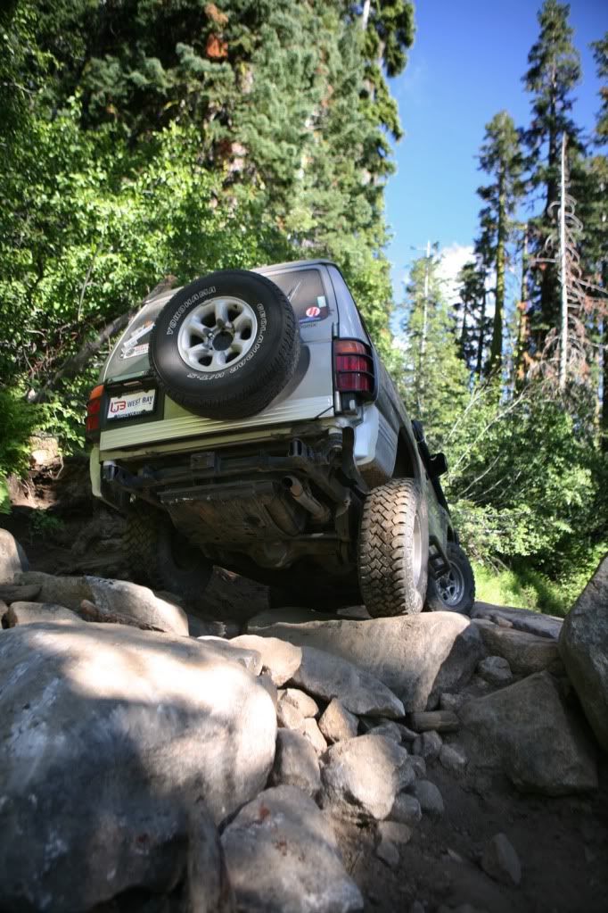
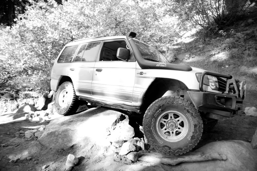
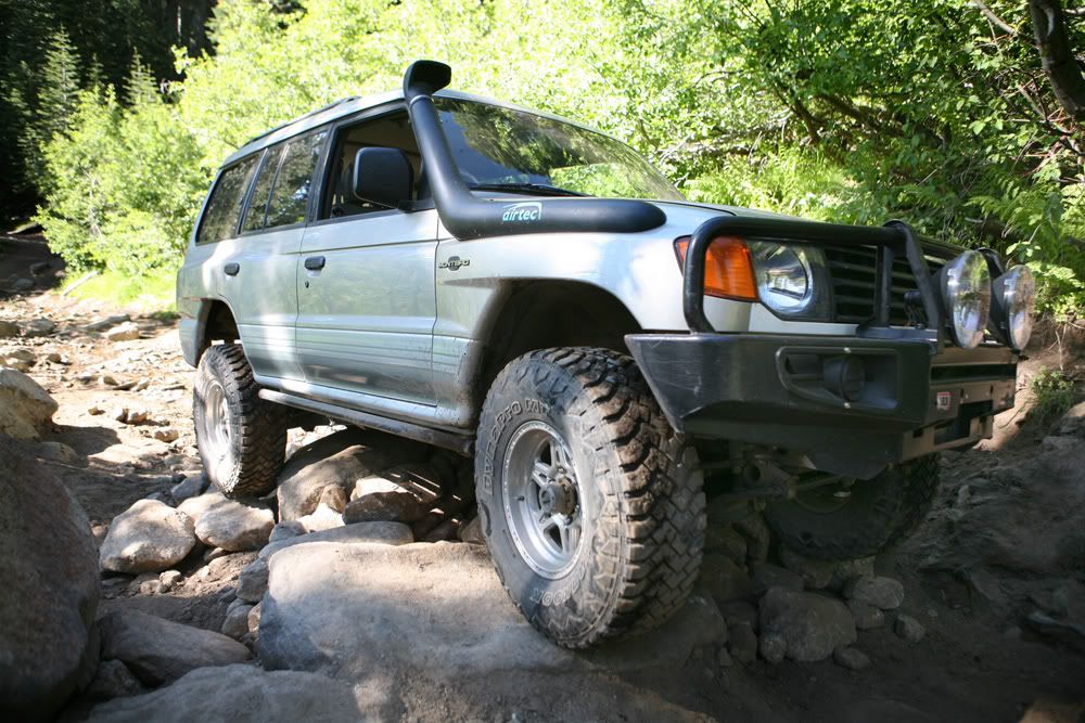
Removed the sway bar right before the trip, so it was a good time to test the new articulation
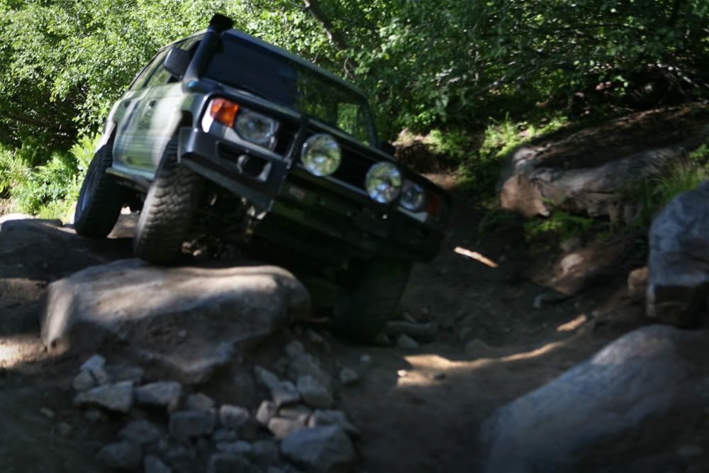
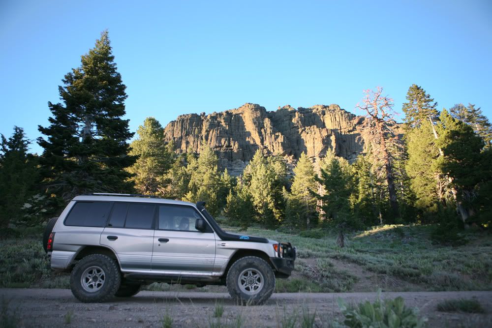
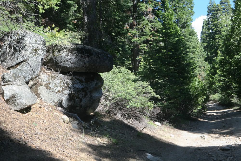
Face rock
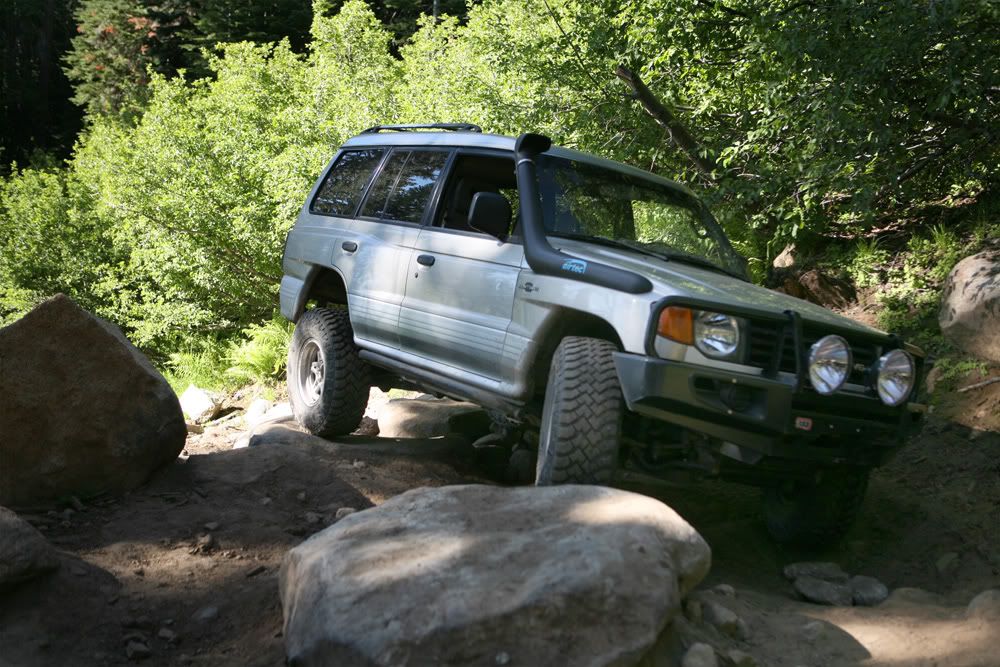
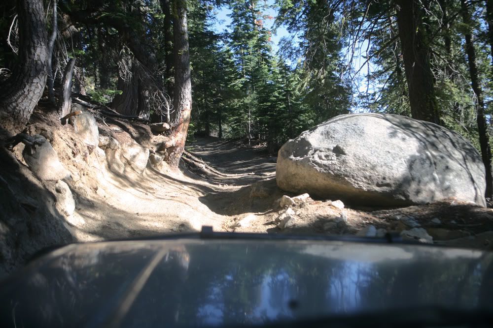
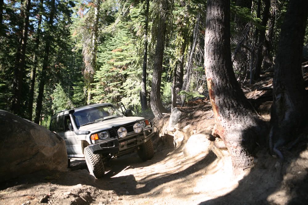
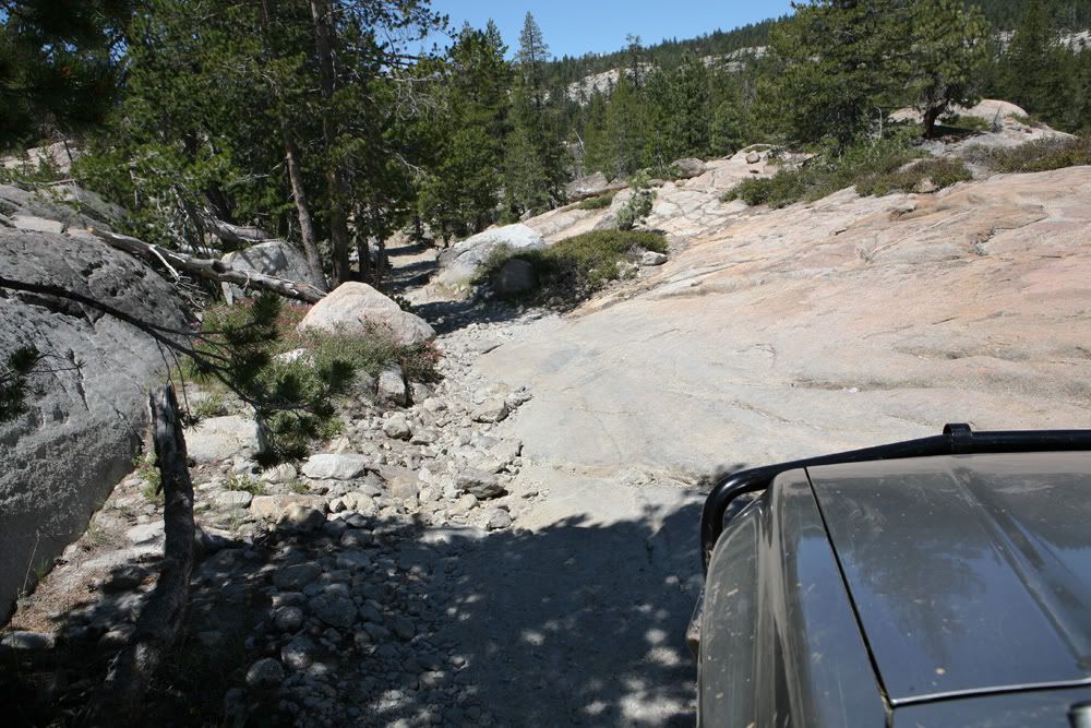
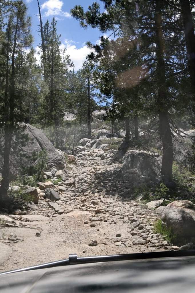
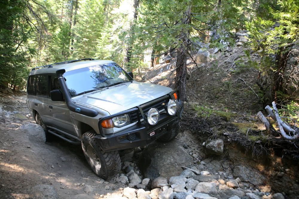
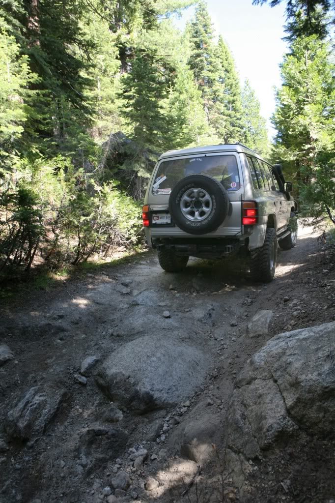
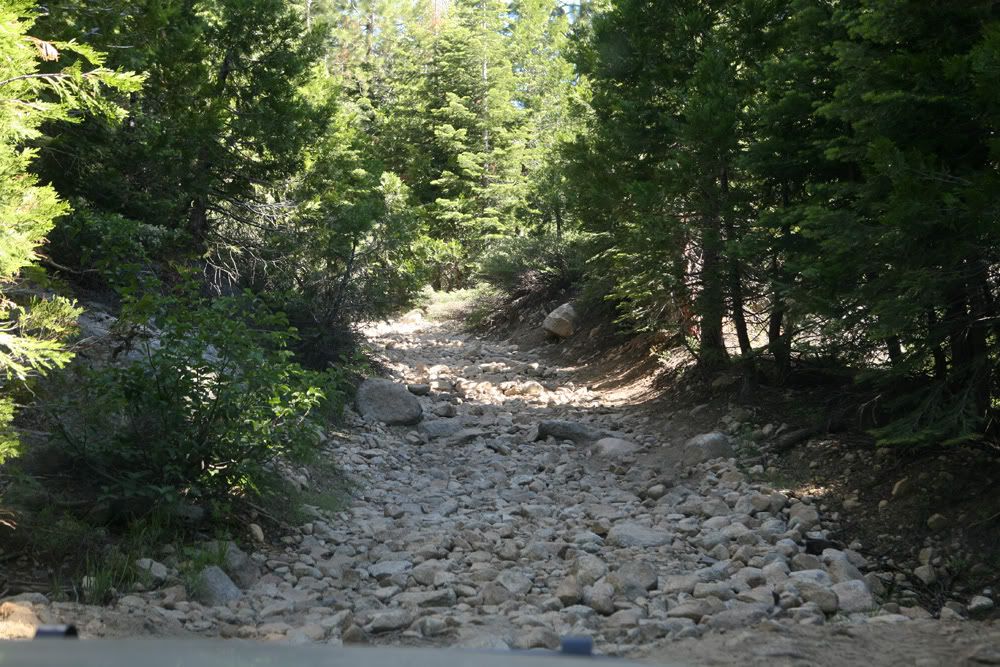
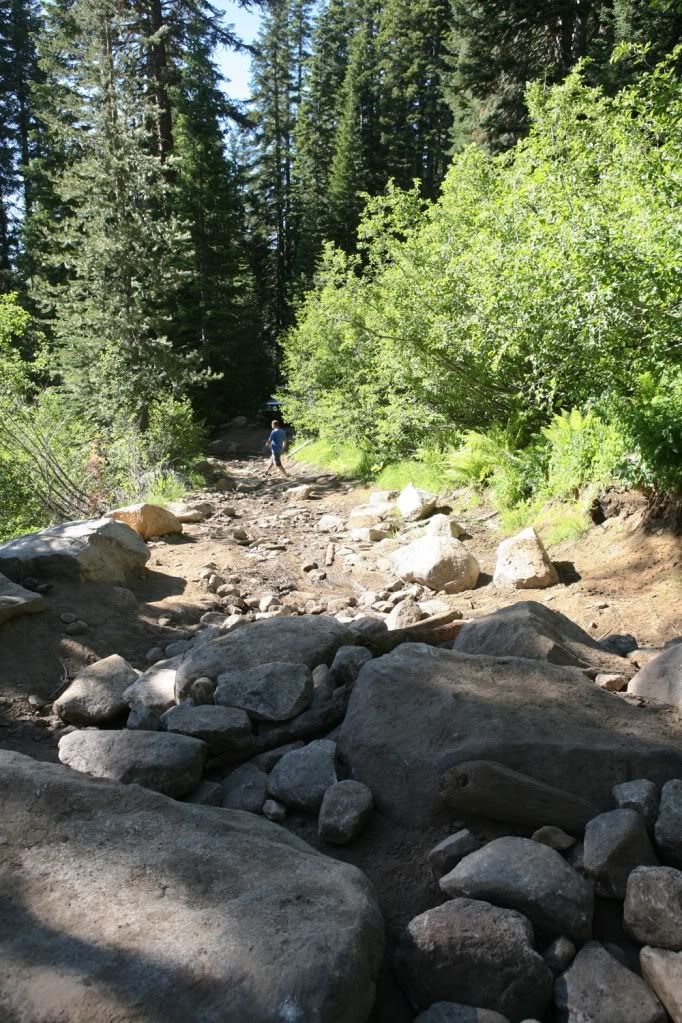
Trail turning pretty rocky here
Had to stop for a bit and cool off, transmission was over heating. Will have to examine later

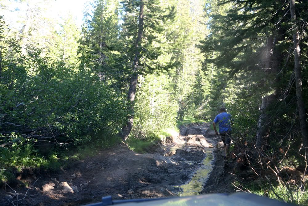
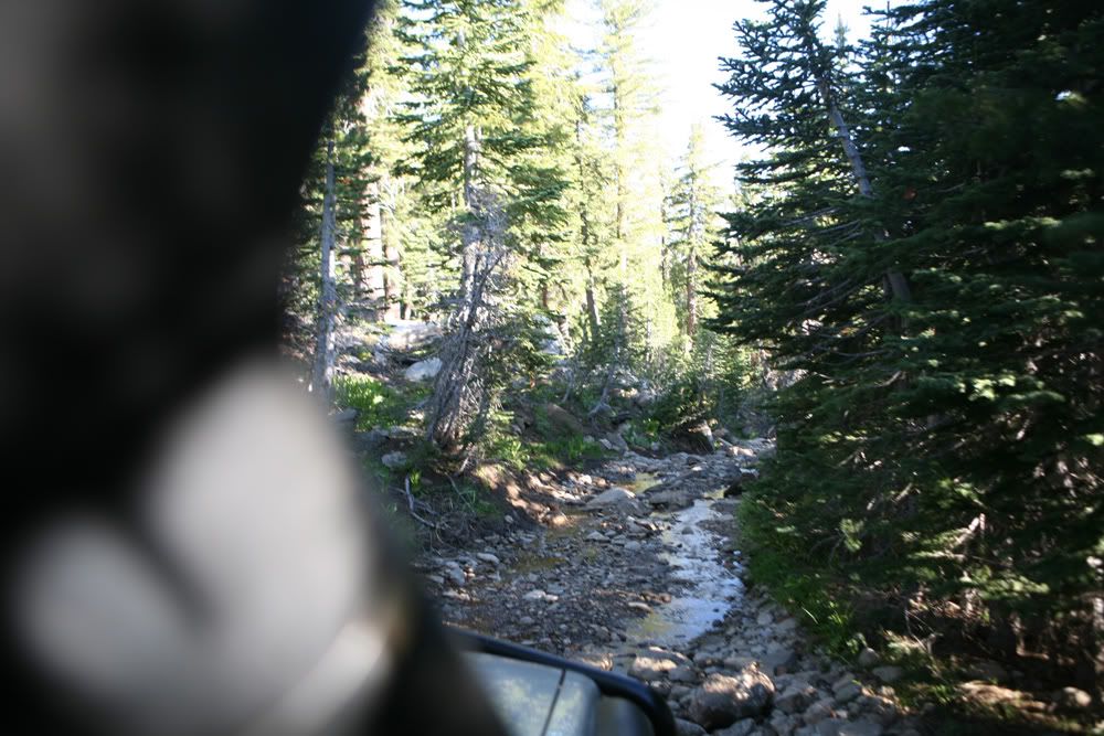
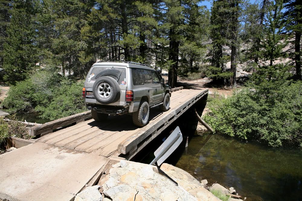
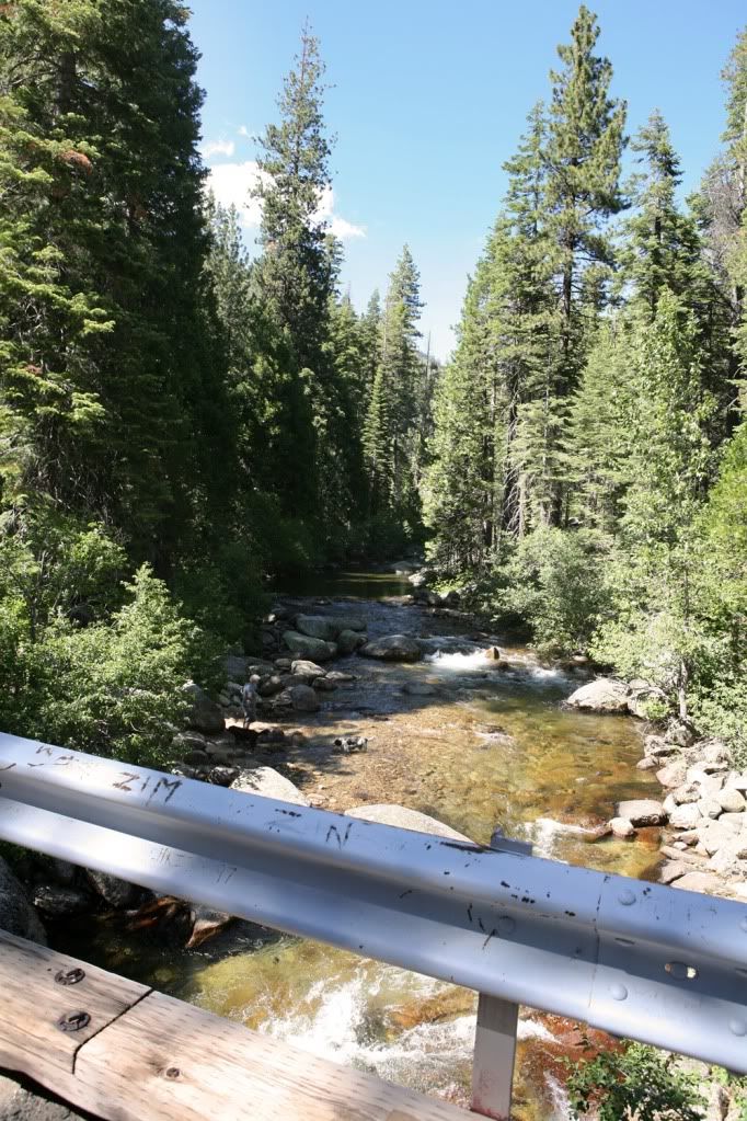
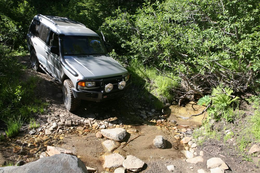
Passed a ton of dips with streams like this one
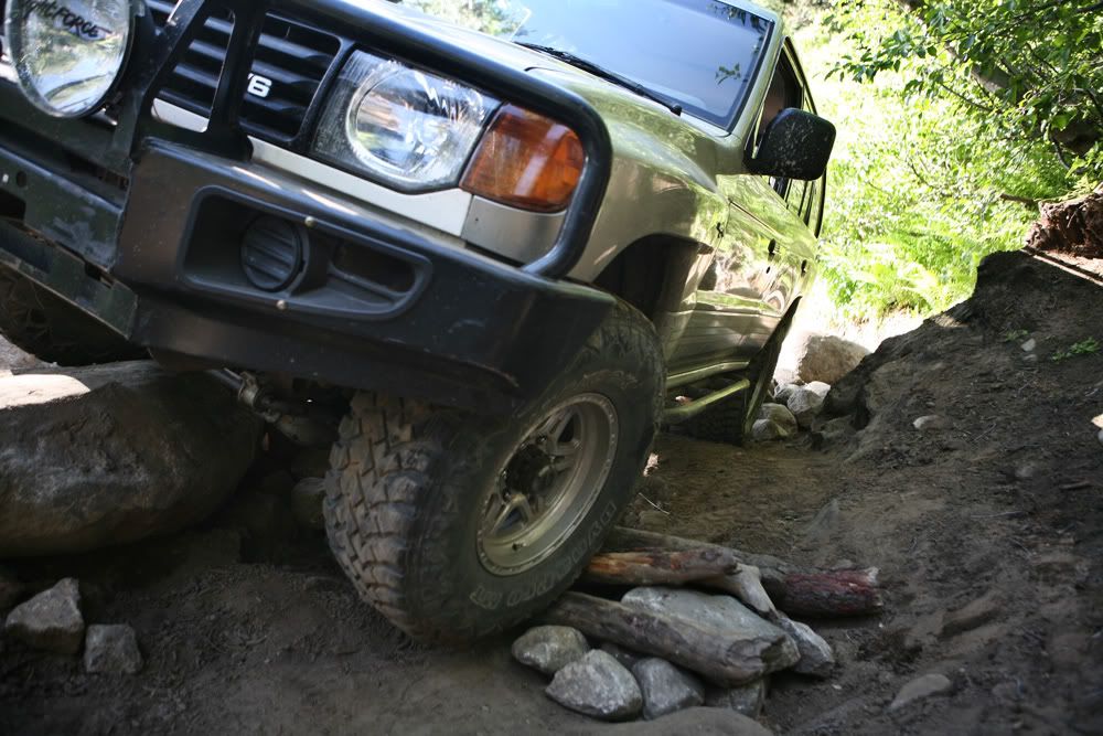
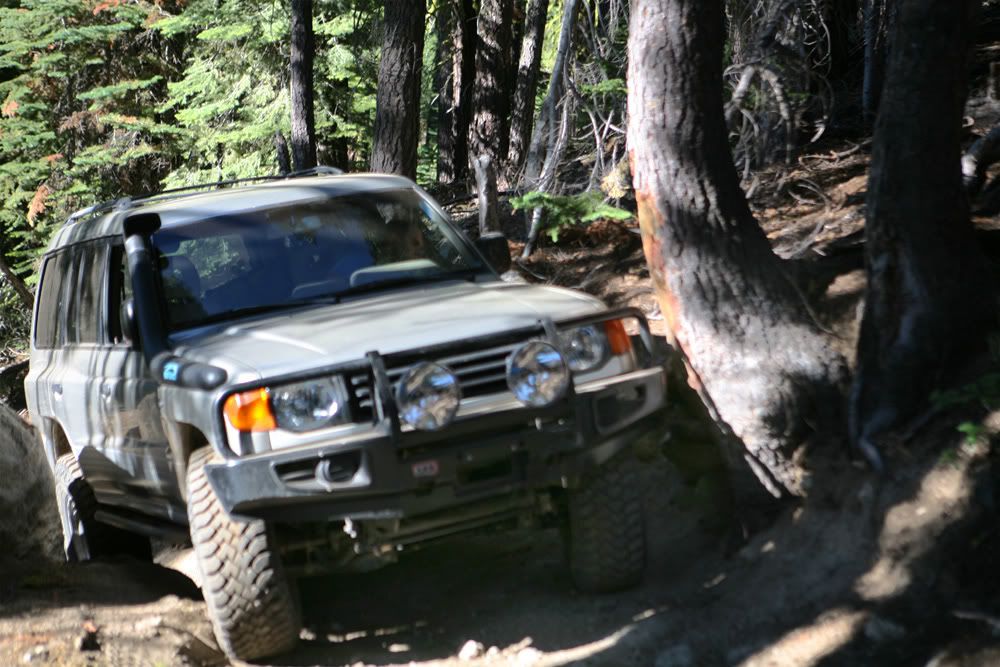
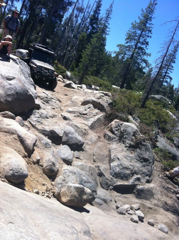
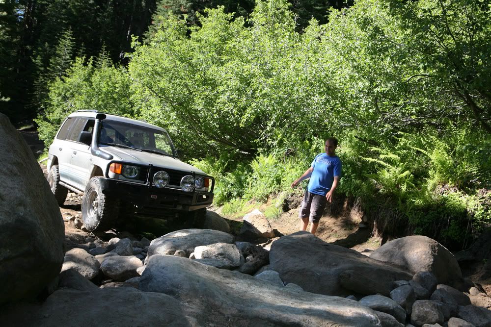
Ok, so here we got to a point called Painted Rock. Im glad I had a rear locker for this one. Had to go over this guy before I got to a giant boulder in the middle, which had almost no room to go around it. Only way to go was thought it.
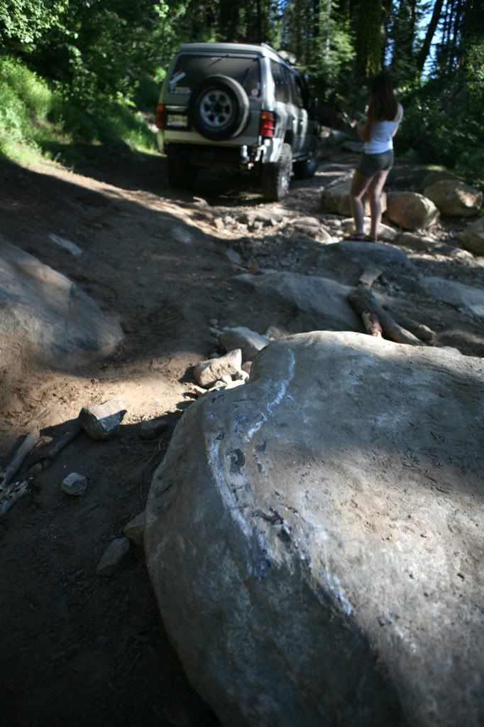
Made it over the first part ok
Quickly packed up, grabbed whatever was in fridge and pantry and took off to the mountains. Of course had to stop by and get some brewskies and water
This time we're off to a relatively local trail, about 80 miles east from Sacramento, down Highway 50 towards South Lake Tahoe. Trail is named Strawberry Pass, which reaches out from Highway 50 to Caples Lake, on Highway 88. Highest elevation was a bit over 8600 feet.
Trail was right up the alley for my vehicles capability, although at one time I almost turned around. Clearance was the biggest concern. For the most part it is a very scenic climb, beautiful views, enchanted like forest passes, numerous stream crossings. Passed by many good places to break camp.
For navigation purposes I took my Ipad 3 with newly installed Topo Maps. I am so impressed by that software, probably one of the best $8 bucks that I ever spent on a map. IMO its worth much more than that. It was a great mapping tool, it kept us on the right track the entire time. GPS signal was always on the dot. I have the 3G model w/o data plan. I bought the iPad for this exact reason. Preloaded the USGS maps for the entire region and programmed in the GPS waypoint coordinates from home. Without it I probably would get lost due to many dead-end splits in the trail.
Any ways, here are picture from the trip
(photo eqp used: Canon 5D MK1 w/ 24-70L lens, iPhone 4.
Fueling up
Got off at mile marker 42
Many fancy cabins were all over place
iPad ******
Got off the pavement
First few miles were pretty smooth
Many passing's like this
This sign is on the trail turnoff
Finally begun to go up hill
First few rock obstacles
Removed the sway bar right before the trip, so it was a good time to test the new articulation
Face rock
Trail turning pretty rocky here
Had to stop for a bit and cool off, transmission was over heating. Will have to examine later
Passed a ton of dips with streams like this one
Ok, so here we got to a point called Painted Rock. Im glad I had a rear locker for this one. Had to go over this guy before I got to a giant boulder in the middle, which had almost no room to go around it. Only way to go was thought it.
Made it over the first part ok
Last edited: