XPEDBC
Adventurer
October 2014...
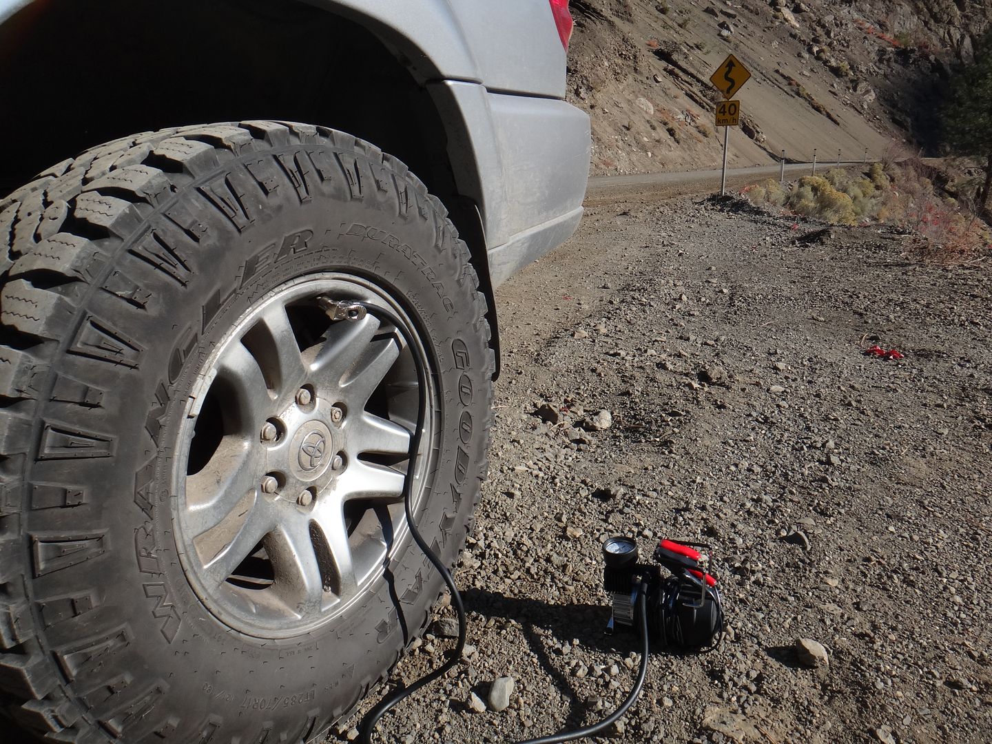
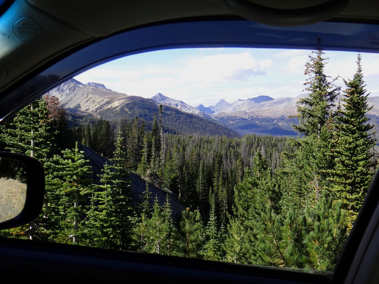
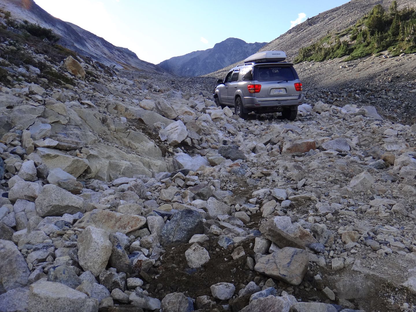
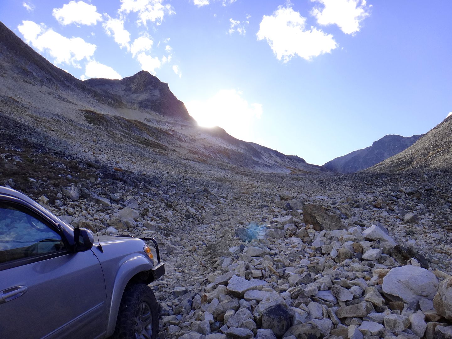
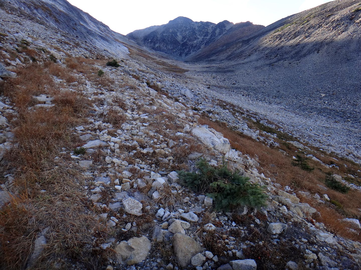
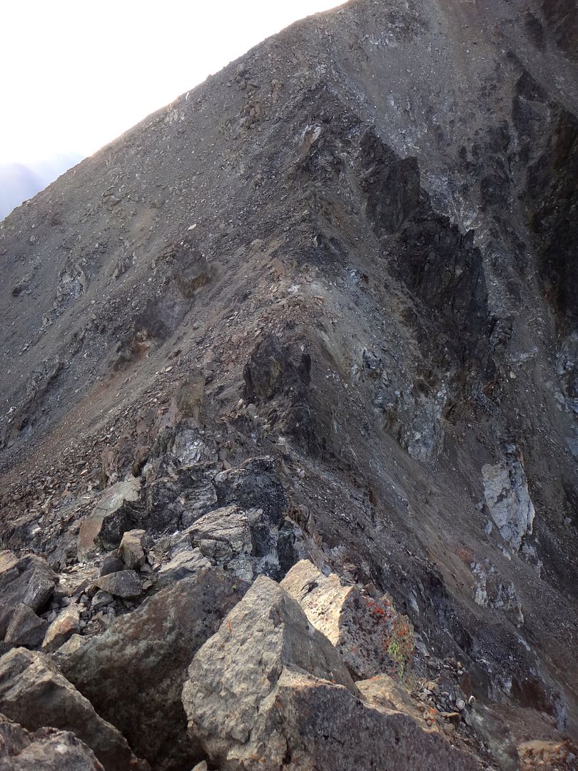
I had about four days to spend on a solo adventure and the weather in the South-Western BC area was looking half decent. After some hasty googling and research on Dualsport BC and Bivouac.com (Canadian Mountain Encyclopedia - handy for all things mountains, including road reports etc), I set my sights on a generally unknown and rarely visited area in the Shulaps Range north of Lillooet, BC.
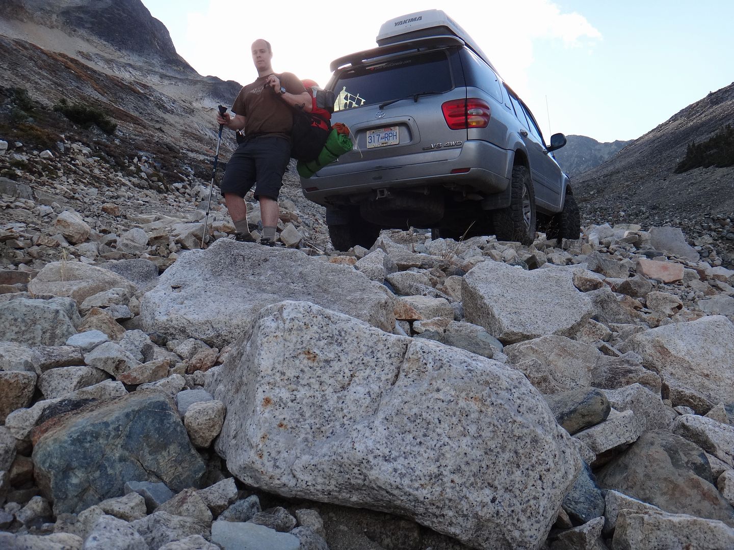
I developed a few rough goals for the trip, specifically because setting objectives makes things spicier. Also, leaving behind my wife and son for this adventure allowed me to plan to do some things I normally wouldn't with the fam along (think risk or comfort levels).
Goals/Objectives:
1) Explore somewhere new;
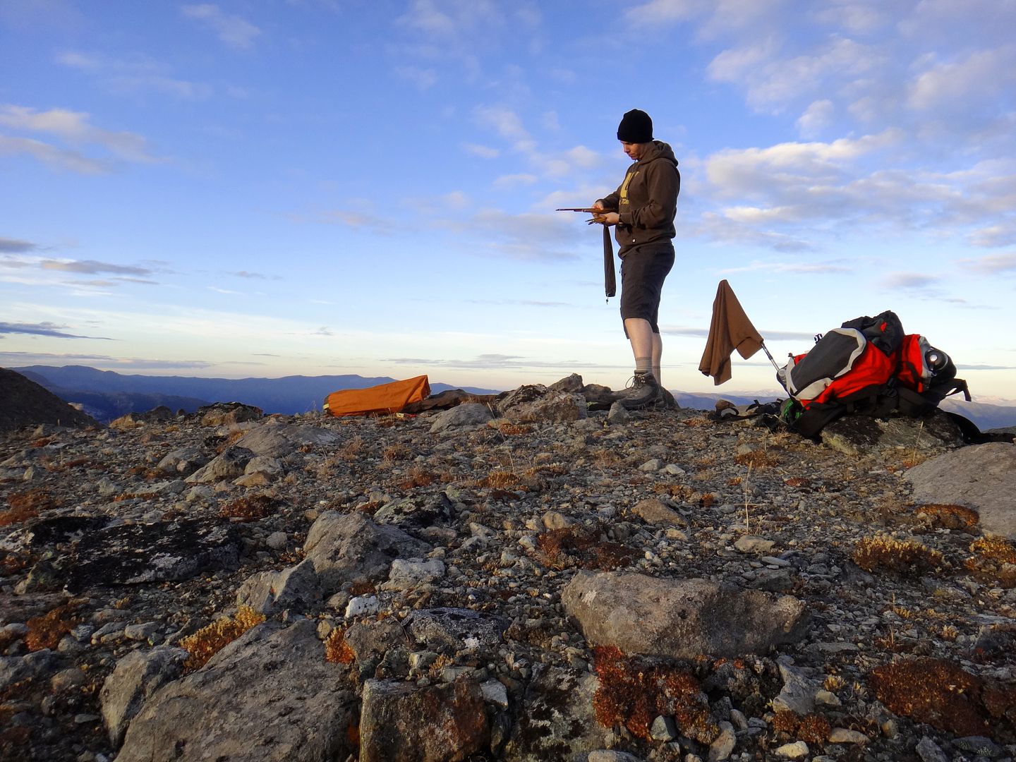
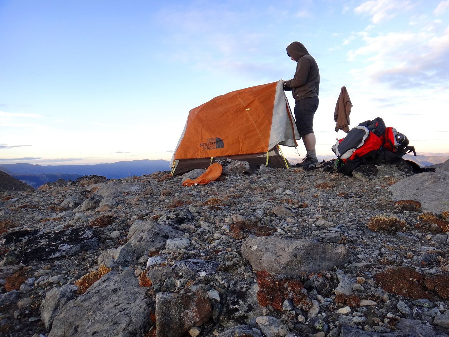
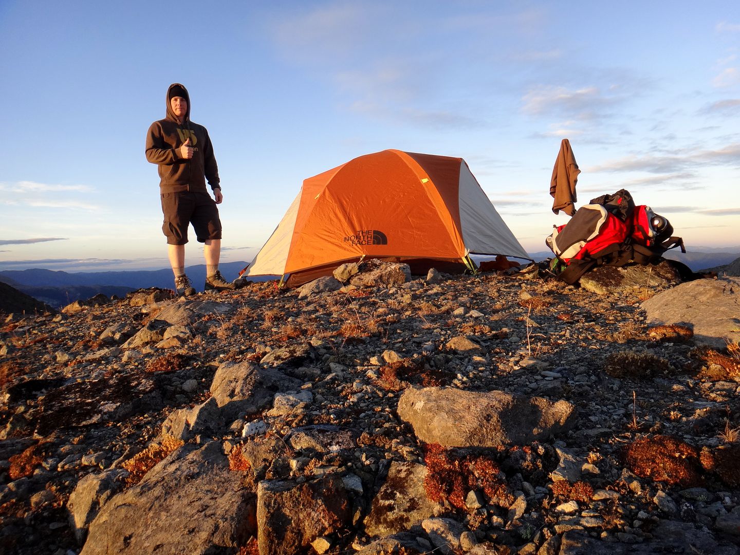
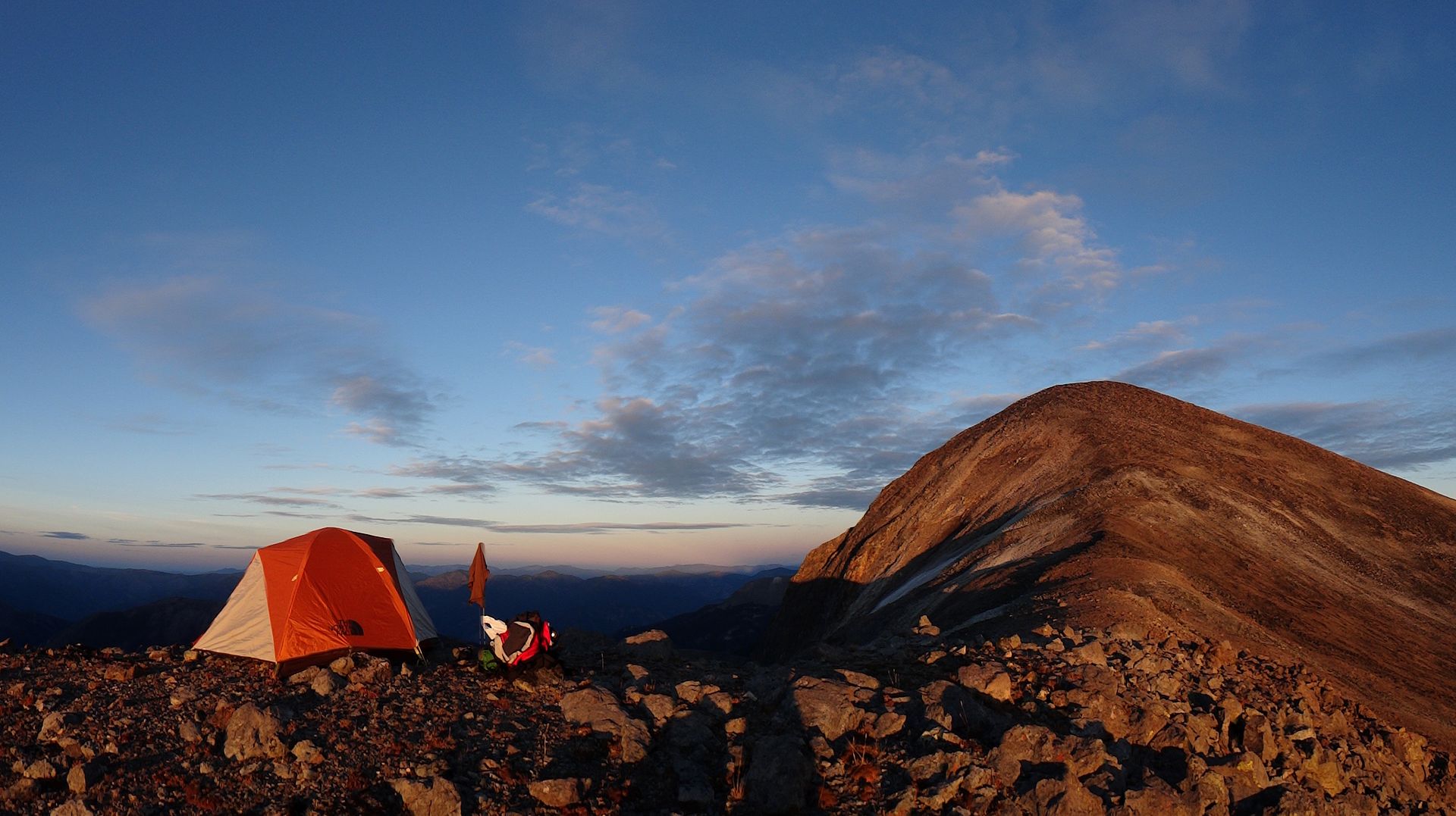
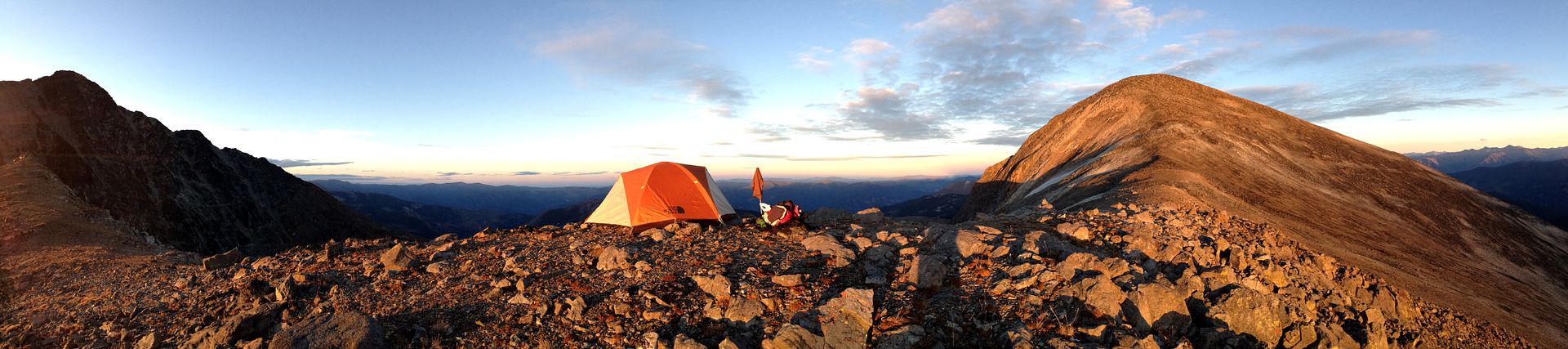
2) Spend the night on top of a mountain;
3) Get some exercise.
So did I reach my objectives? You'll have to read on for the story...
Note: trip photos were taken with both an iphone and a handheld digital camera so nothing fancy.
Day One - Tues Oct 14th:
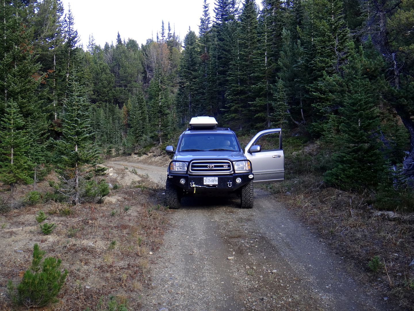
Due to other commitments, I did not leave home in Langley until dark. I left my trip plans with two different people however they were pretty vague considering things could change instantly depending on weather, condition of trails etc.
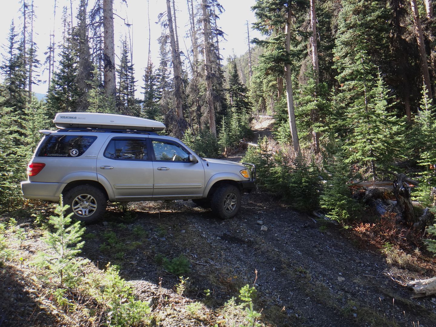
Packing up the truck in the afternoon, much easier to pack for one:
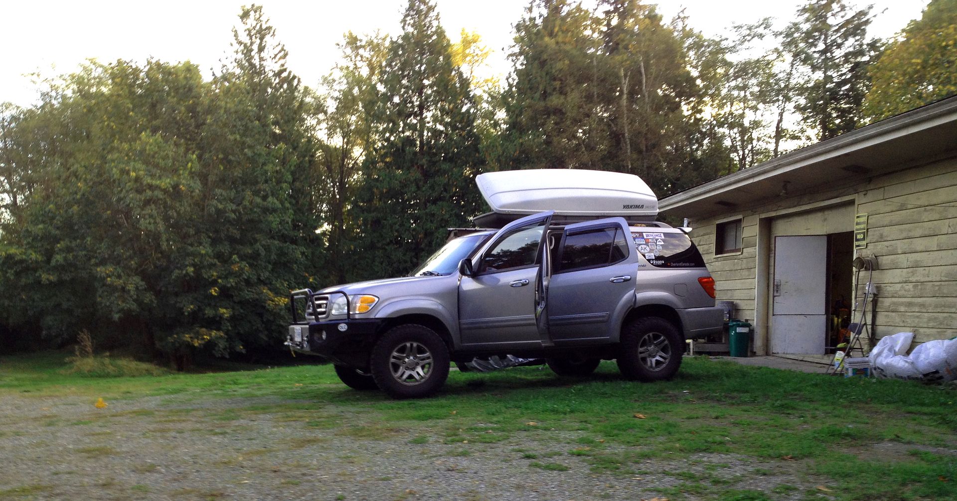
A few of the items packed:
-hiking boots
-trekking pole
-backpack tent
-60L backpack
-MSR lightweight stove
-old negative 7 degree sleeping bag
-thermarest
-car camping sleeping bag
-UDAP Pepper Power bear spray with holster
-tow strap / recovery kit
-leather gloves for winch line
-axe
-saw
-shovel
-small chainsaw
-jack
-tools
-camp flood light (12v, magnetic base for mounting on truck0
-camp chair
-folding camp table
-coleman propane stove
-3X 1lb propane canisters
-food and small cooler (gotta have cream in the coffee)
-firestarter kit
-books!
-backroad map books
-relevant Cdn Topo maps downloaded (free) for offline use
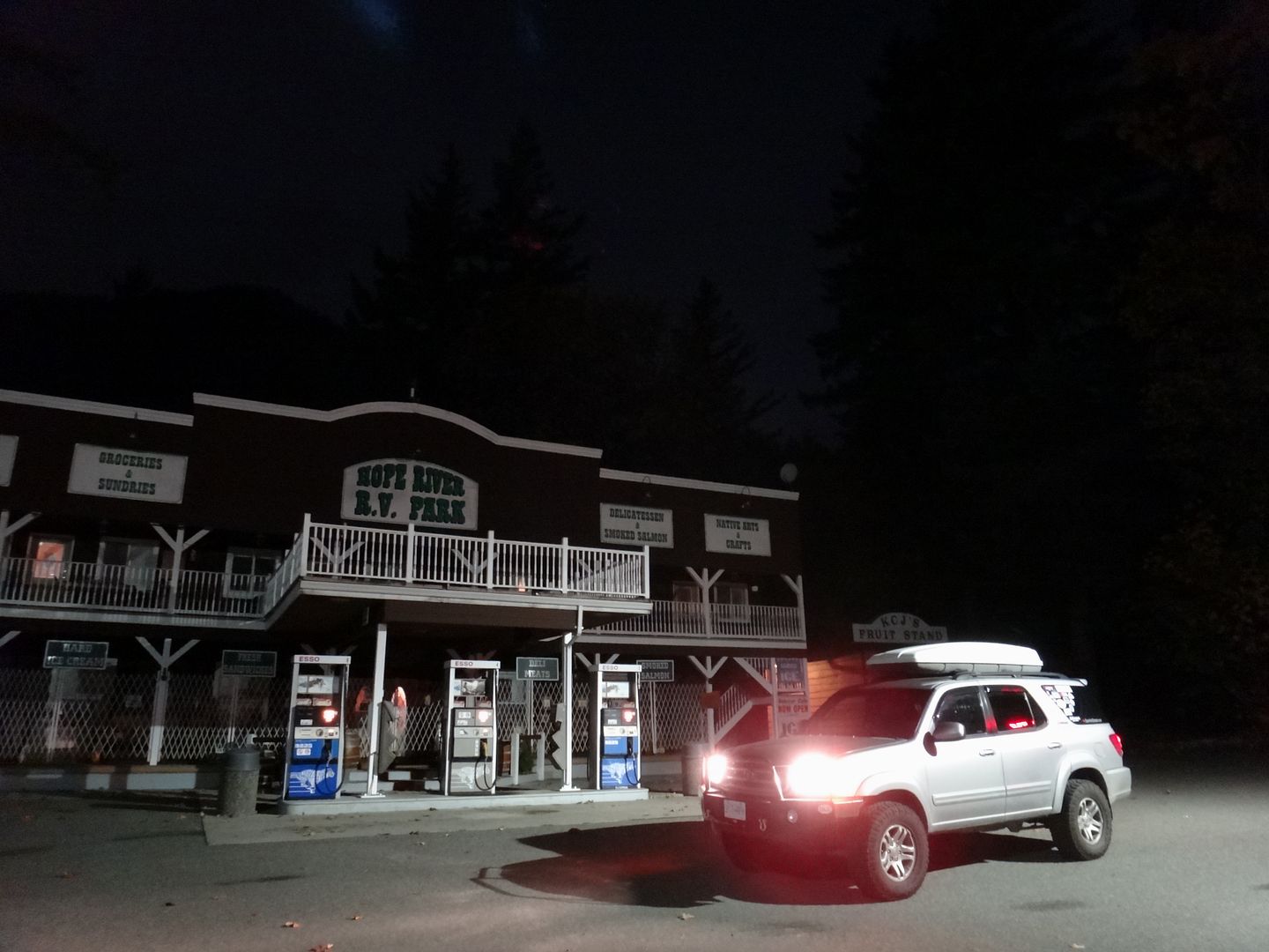
I hit the road and traffic was light thanks to it being a weeknight. I picked up some food staples along the way and was in good spirits for the adventure ahead. I flew out on the Trans Can east toward Hope, enjoying the new 110 km/h speed limits. I buzzed through Hope (practically a ghost town after 9pm) and unfortunately didn't stop at the Blue Moose - the best coffee bar in Hope - as it was closed for the night.
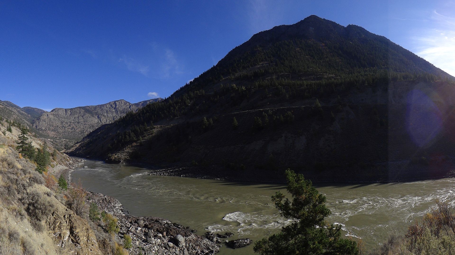
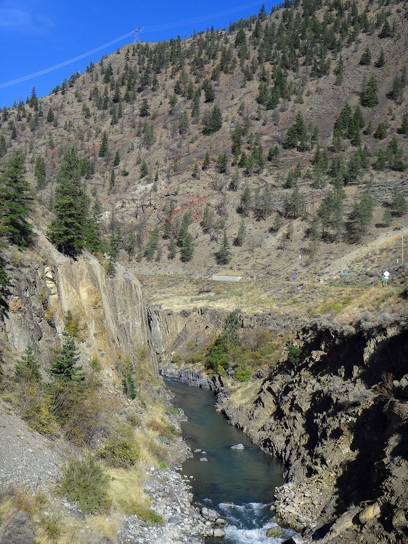
After Hope I continued up the Fraser Canyon, stopping to take some night photos at one of the many historic spots along this area of the highway. Turned out not bad considering I wasn't using a tripod:
While the digital point and shoot I was using is a fairly decent camera, it lacks the manual functions required to really obtain decent night shots...
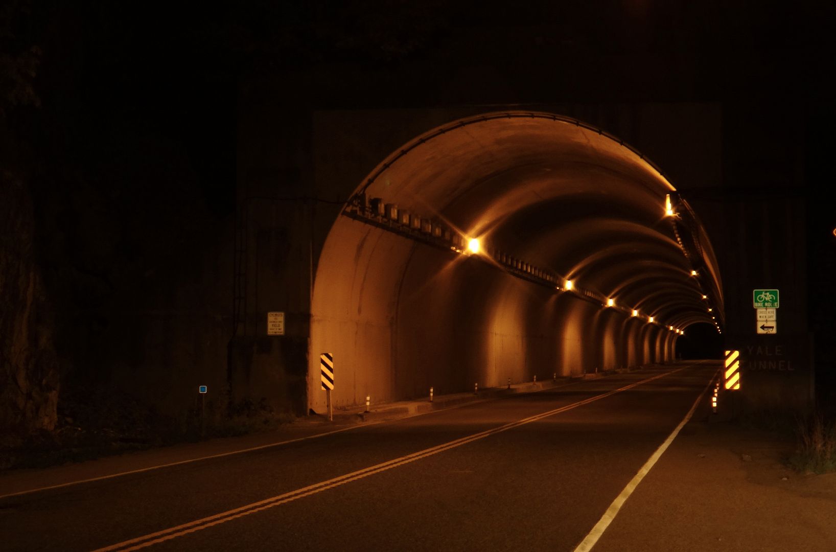
Since highway traffic was so light, I stopped to take a snap of one of the tunnels that are pretty cool to drive through. Usually the truck traffic is too busy during the day to stop and get a shot. As kids we'd always have fun trying to hold our breath while dad drove through the tunnels. Sometimes he would slow down so we'd have to hold our breath for longer but it would just make us laugh. The longest tunnel, the China Bar tunnel, is only about a kilometre long though. This is one of the short ones:
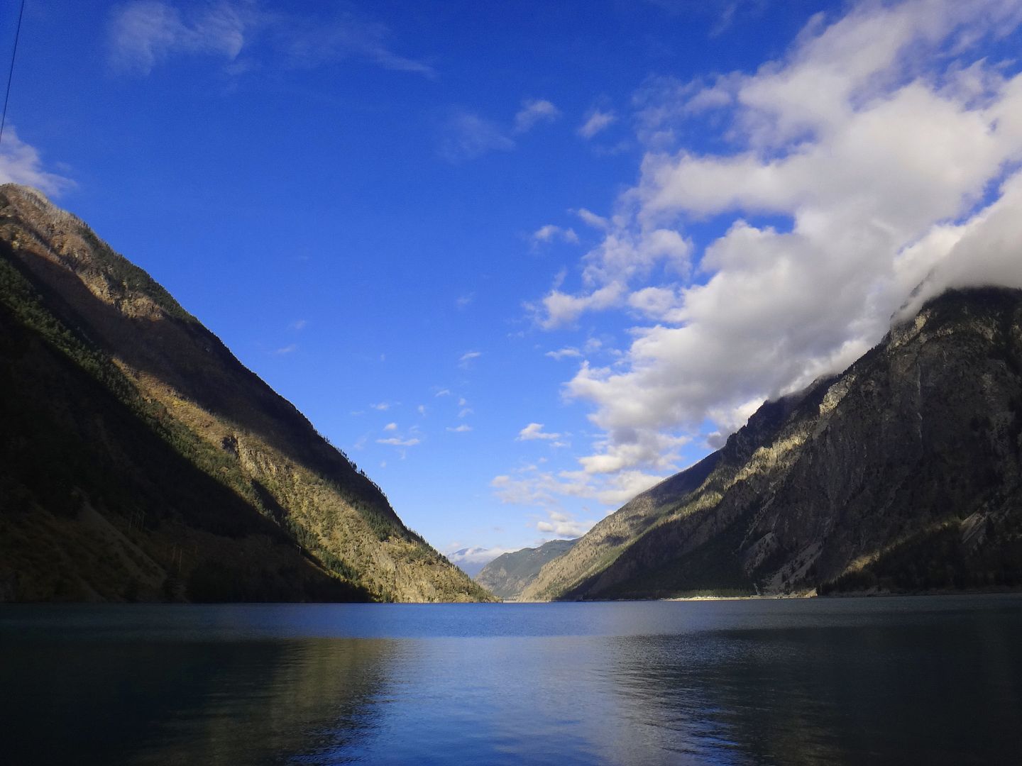
So my plan that evening was to continue all the way to the Lillooet area and stay at the BC Hydro Rec Site on the west end of town. It would just be a quick stop over for sleep and not really to camp. Unfortunately when I pulled into the Rec Site, the gate was closed (probably because it was after midnight). Stumped, I continued on to the picnic area and found the gate open! I drove down to the parking lot at the edge of Seton Lake / BC Hydro dam area and had the parking lot to myself. I backed into a stall, climbed in the back to sleep and "ninja-camped" right there.
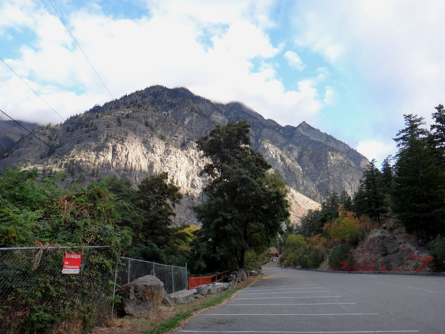
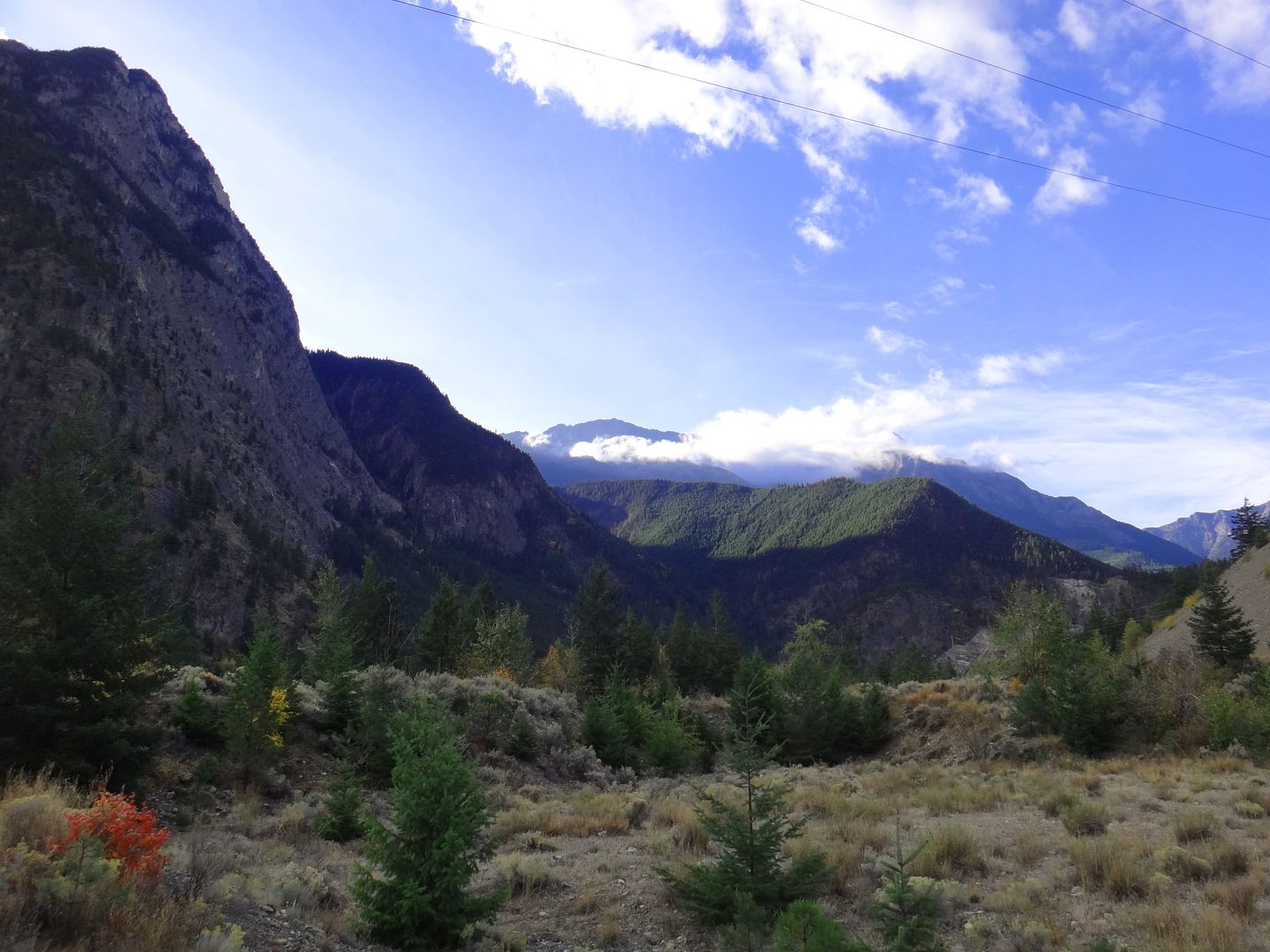
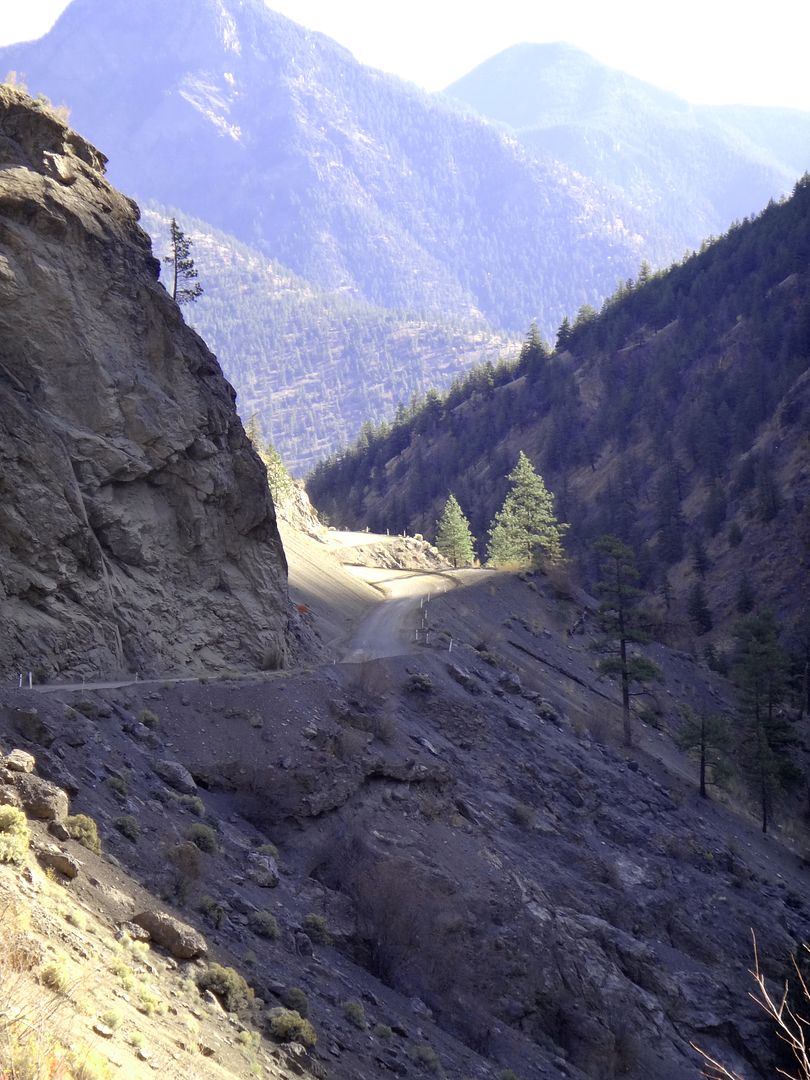
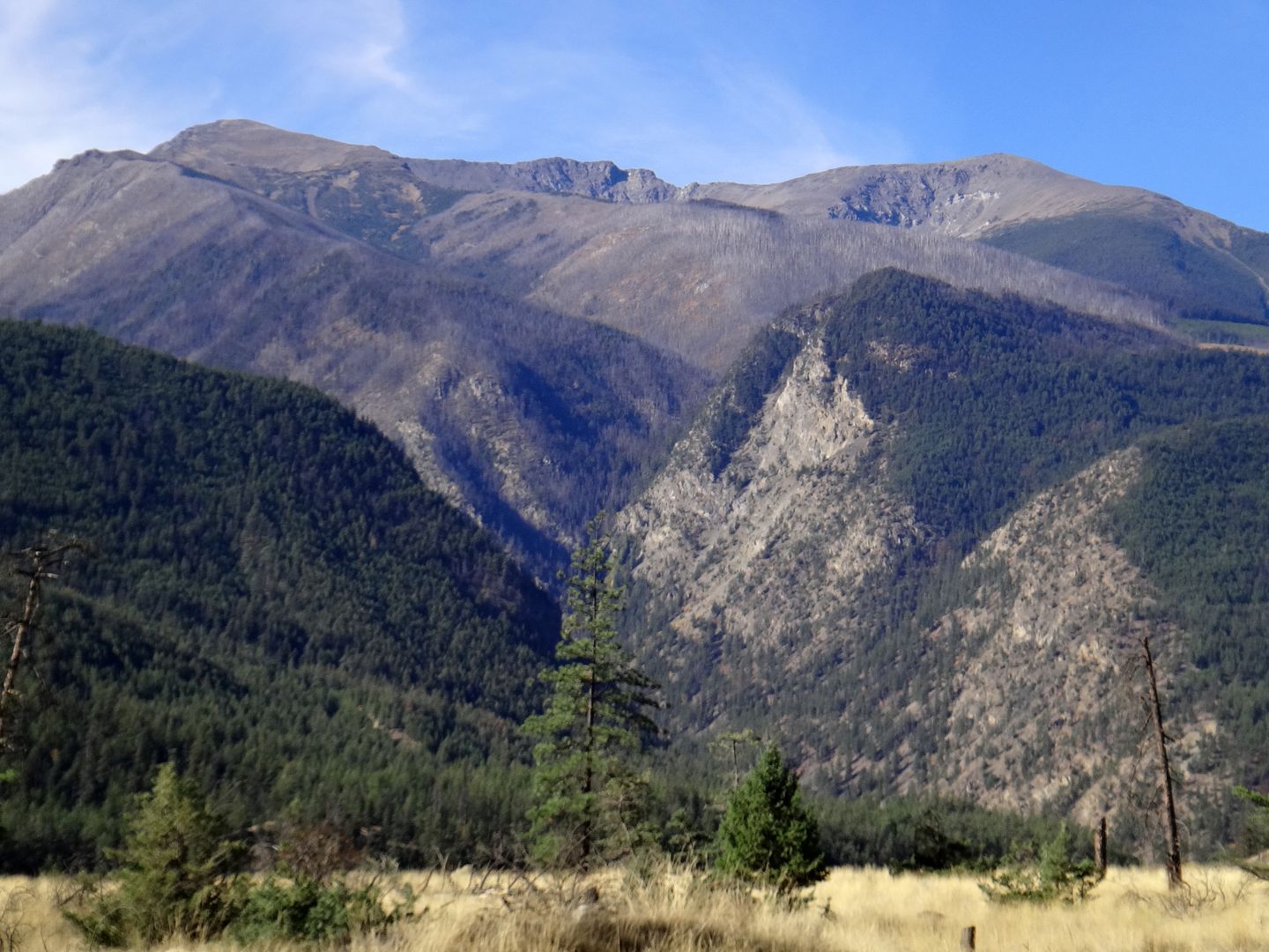
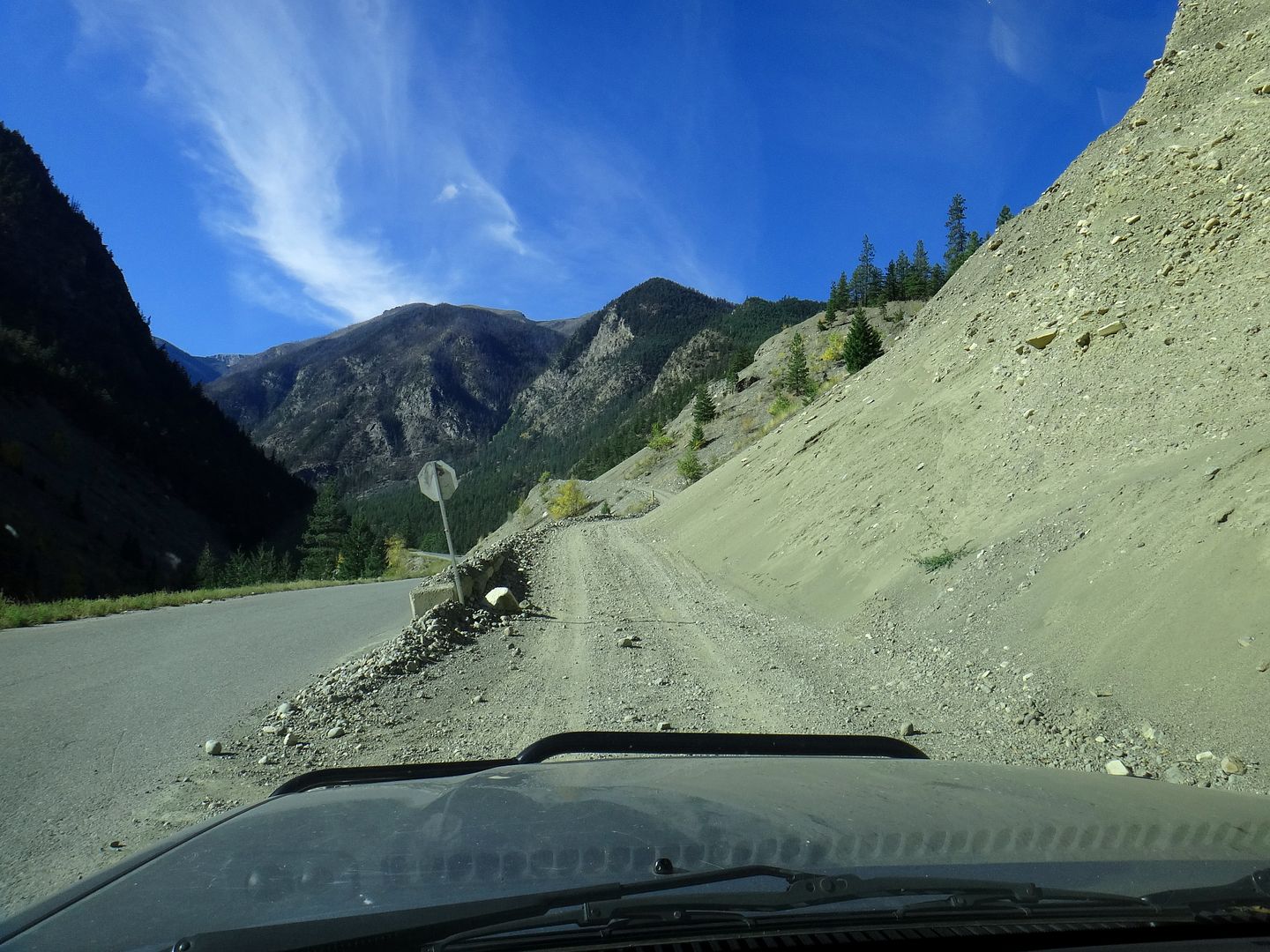
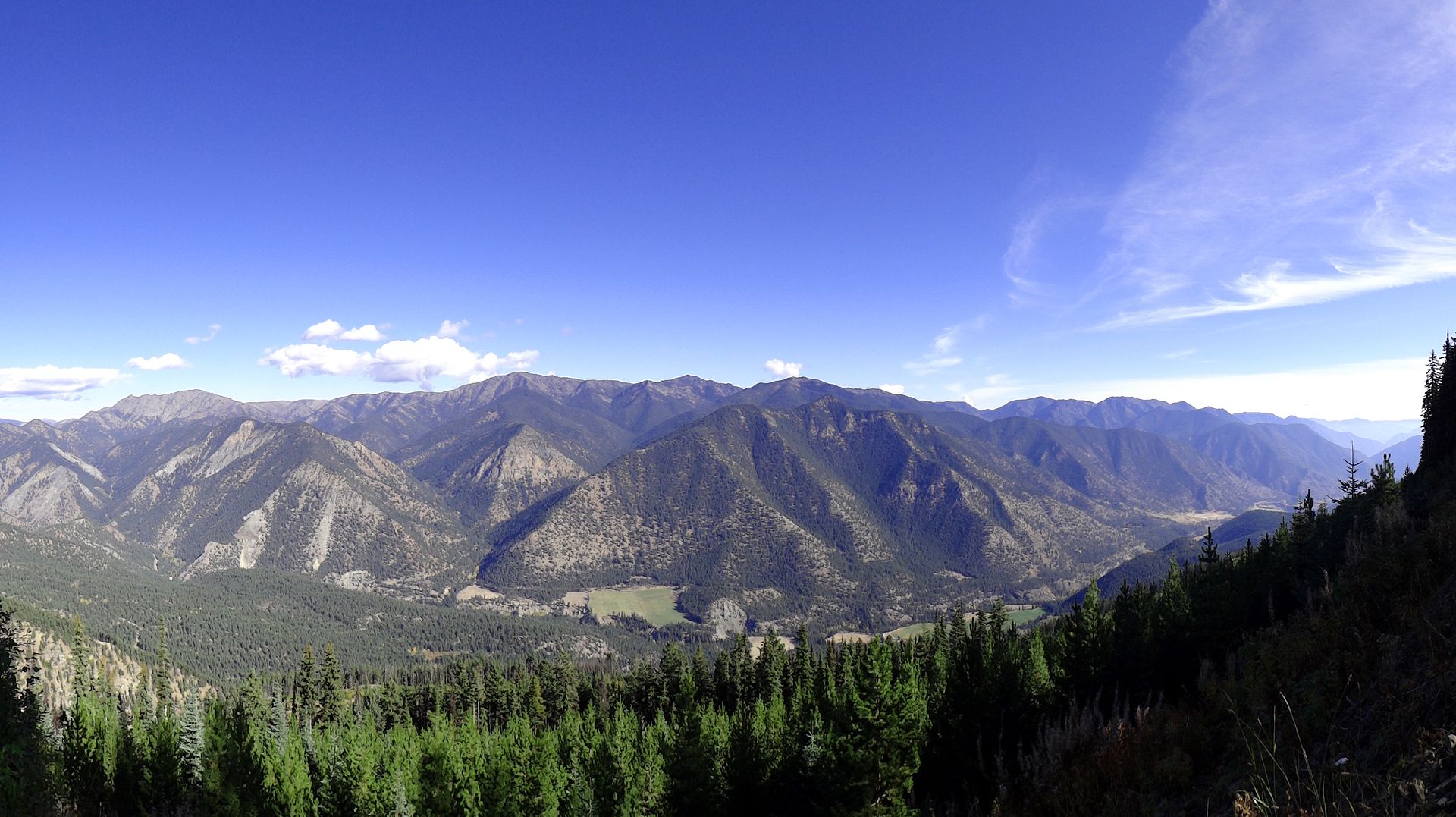
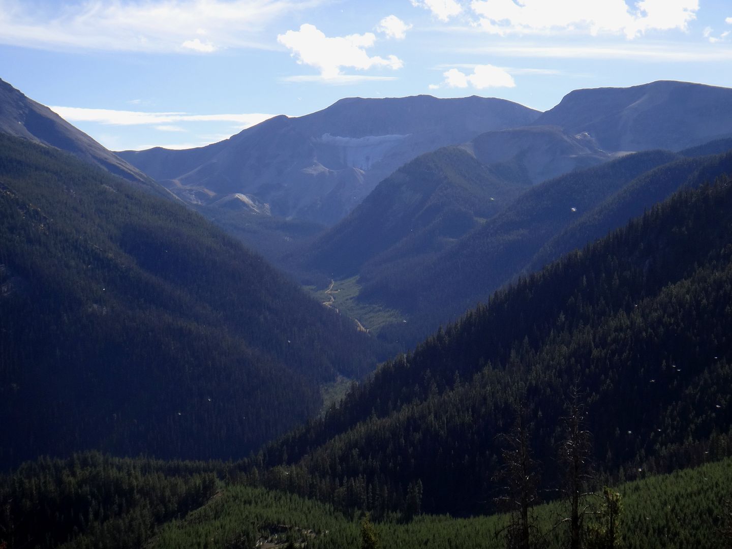
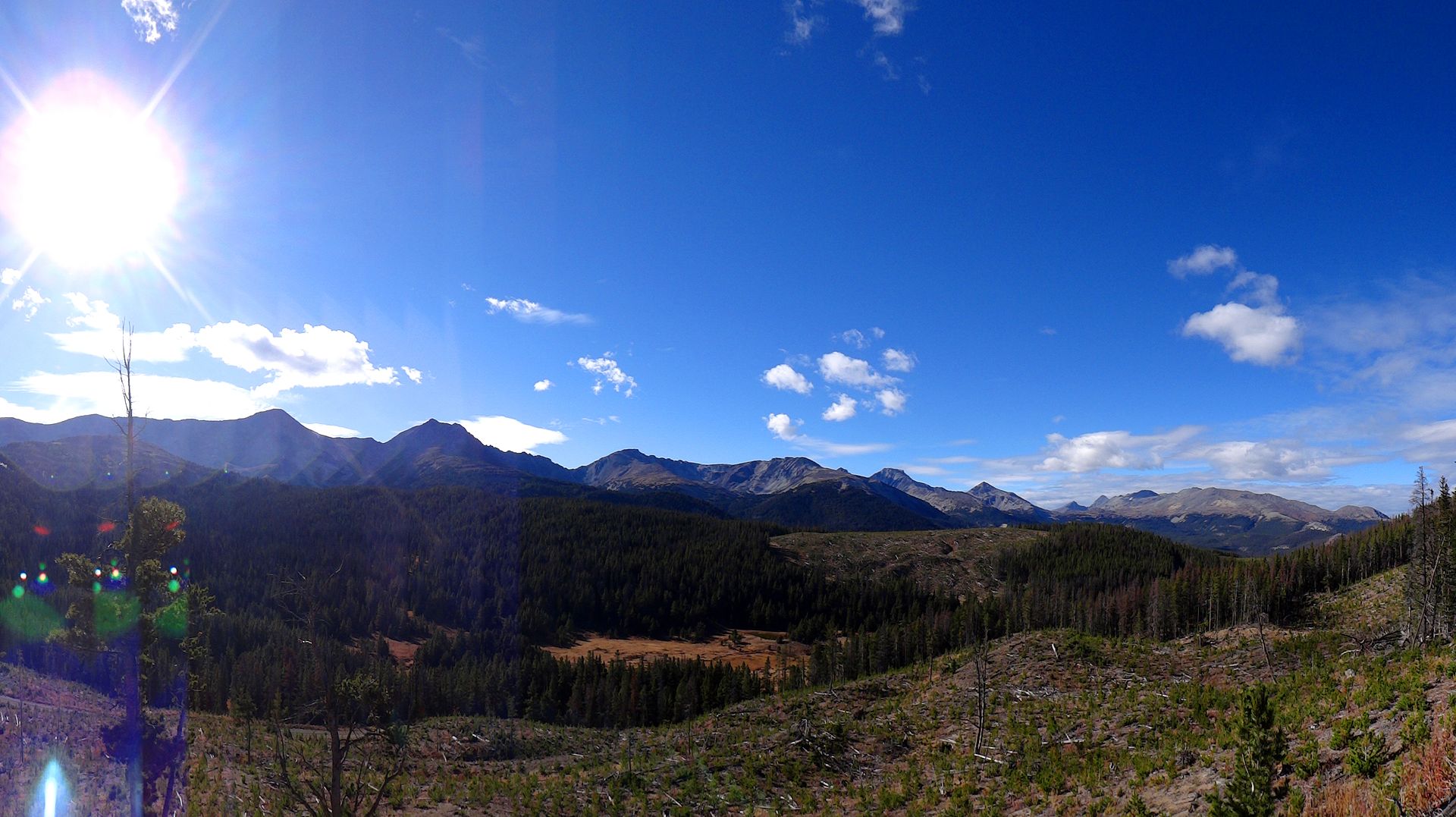
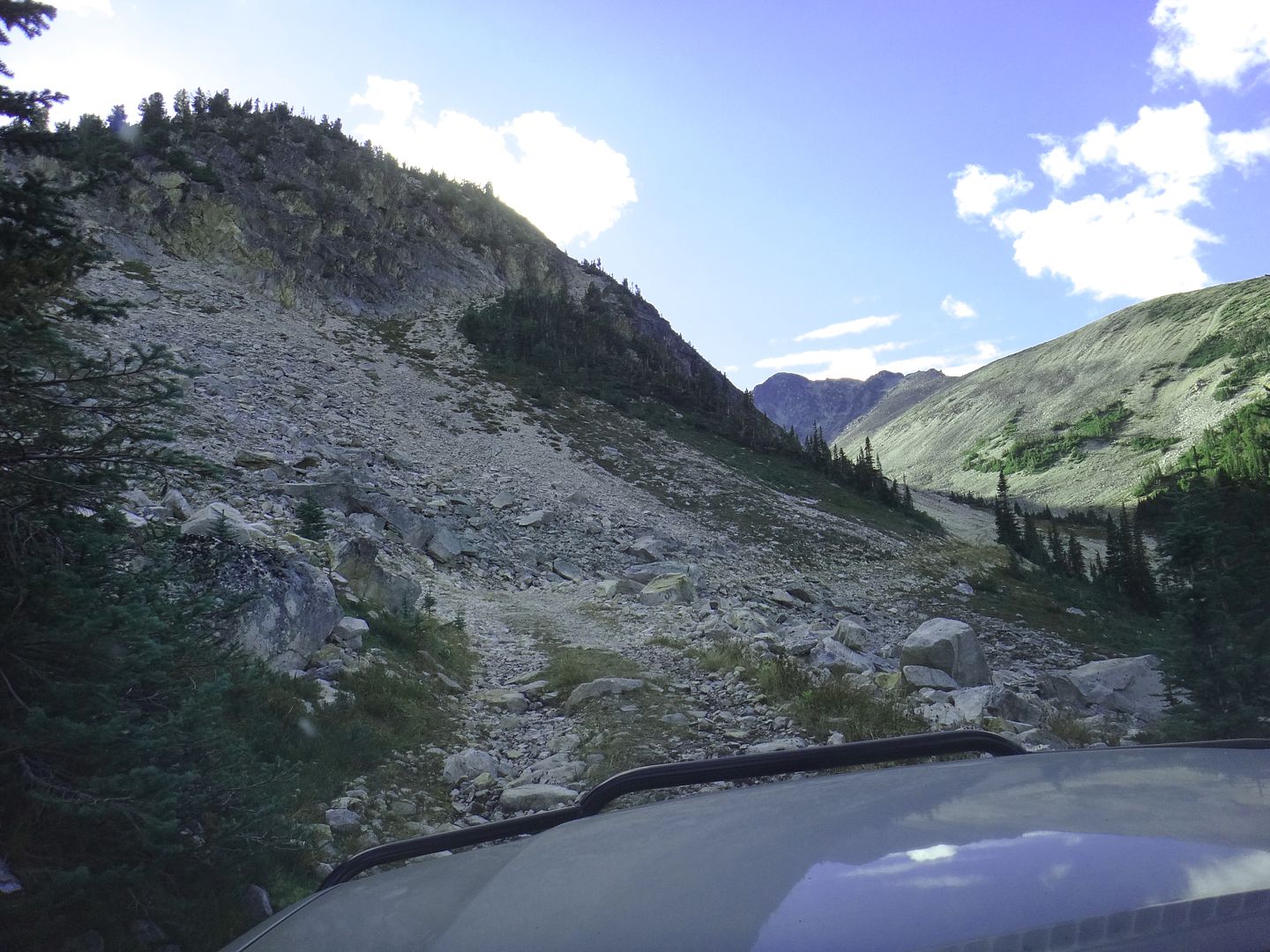
I love how rugged the Lillooet area is.. there's no doubt why the Town's saying is "Guaranteed Rugged". Lillooet sits at the bottom of a deep rocky canyon with peaks rising to almost 9000 ft all around it. All roads leading in and out of town are fairly windy canyon carving type highways with switchbacks and frequent rock slides and forest fires. Despite it's semi-arid environment, there are plenty of glaciers and ice fields close to town as well. The town itself is kinda ugly but living in the area would be an outdoor enthusiasts dream.
Rocky bluffs rising steeply up from my parking lot:
The lake was fairly calm in the morning and I snapped some pics:
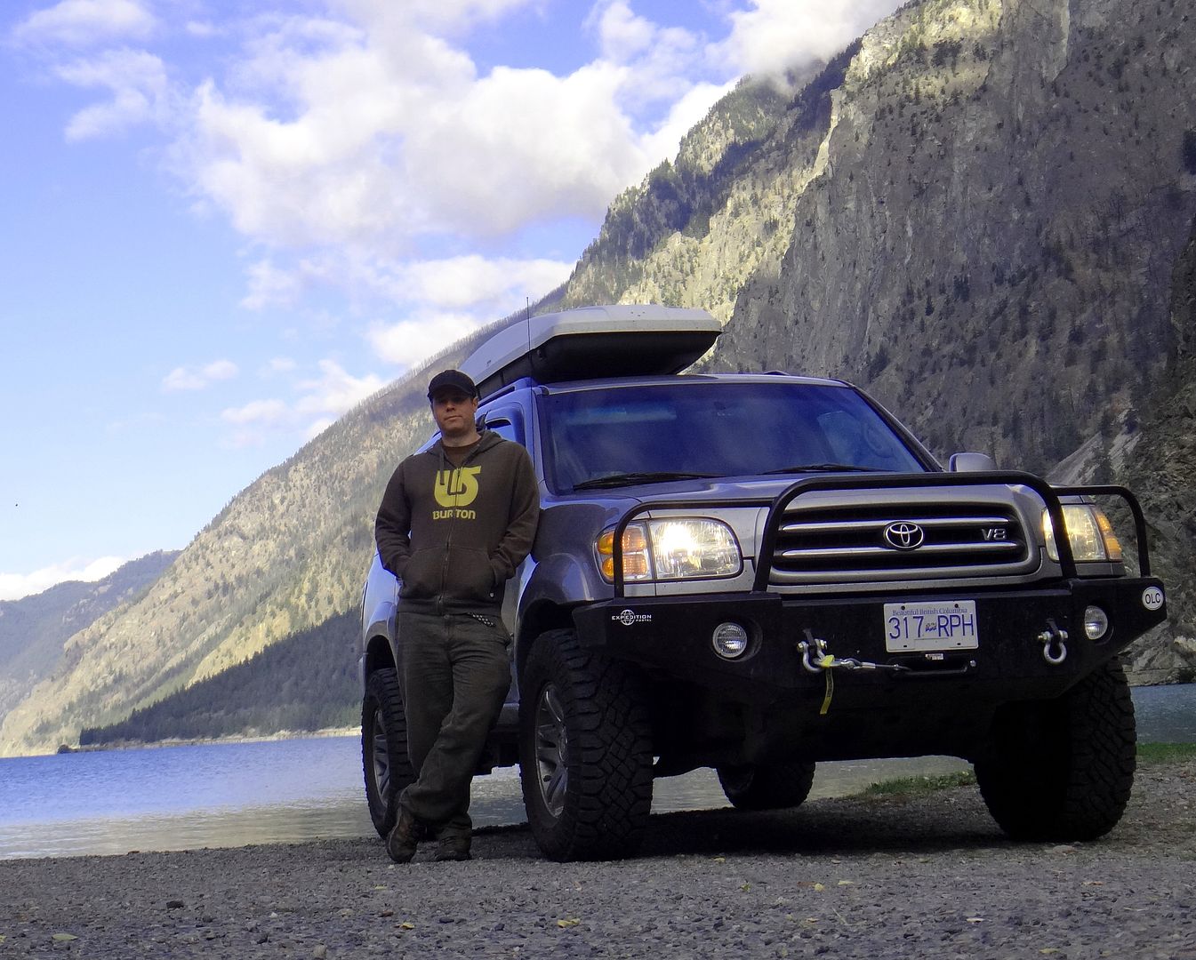
Now I rarely get behind the camera, but thought my wife would enjoy one or two of me:
I drove back up the road and found the gate to the Rec Site to be open this time. I'd never previously checked out the campsite so I gave it a quick tour. It seems to be well kept and it's even free to stay, a courtesy of BC Hydro. I think they even provide firewood at times!
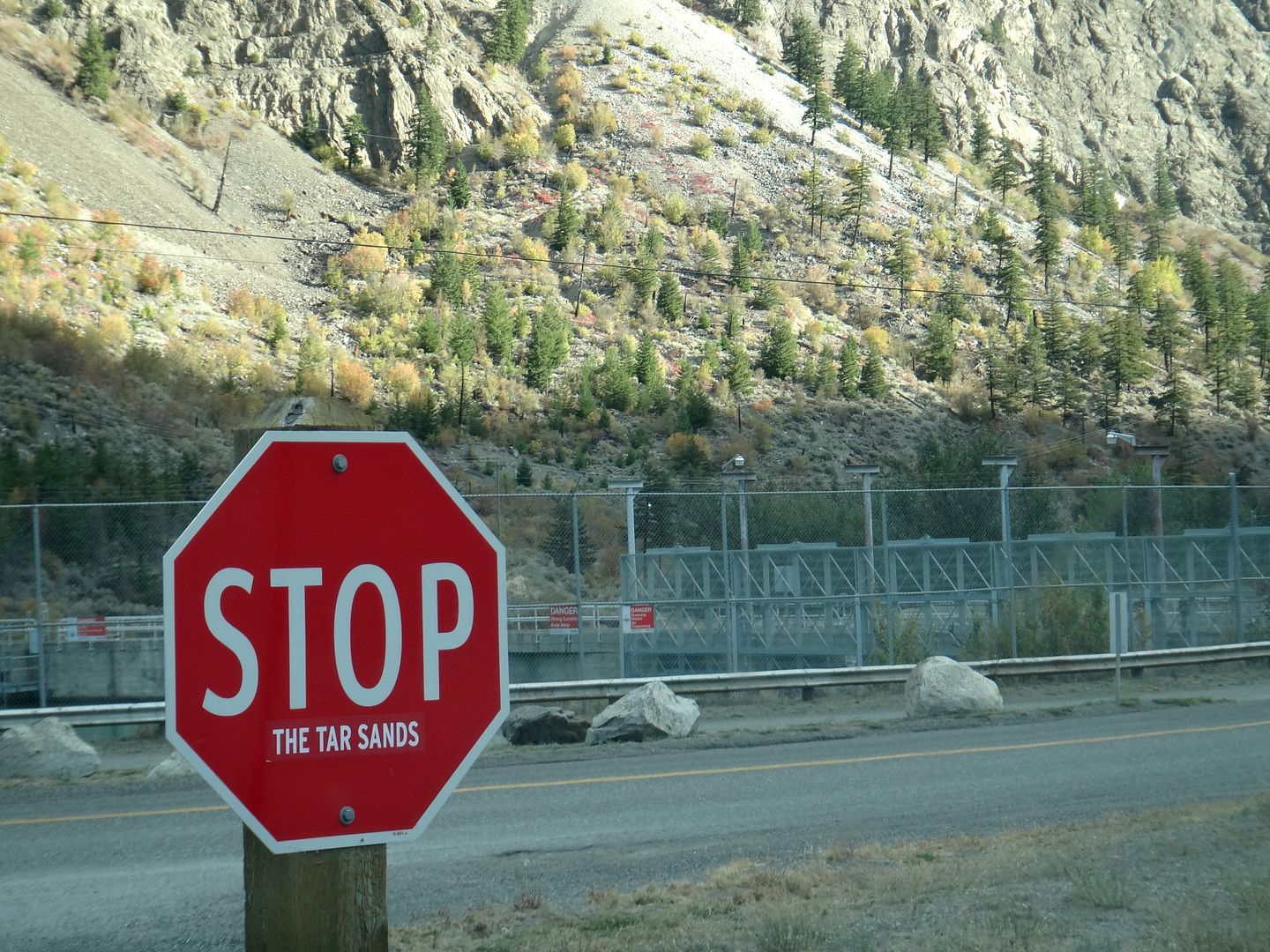
I had a quick chuckle at this sticker added to the stop sign:
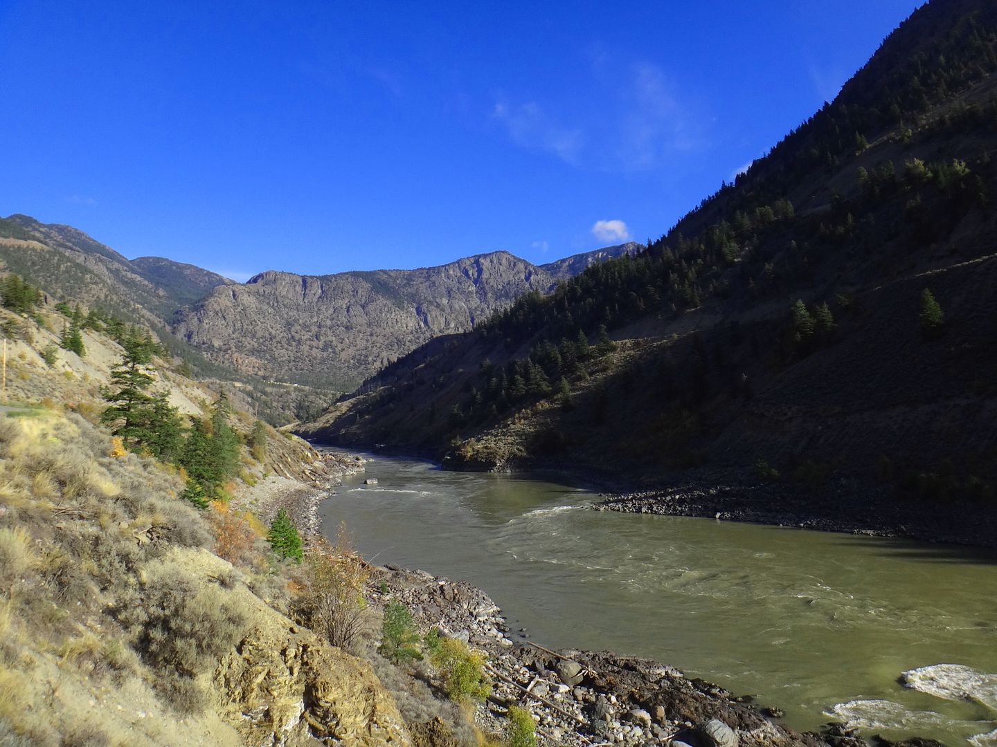
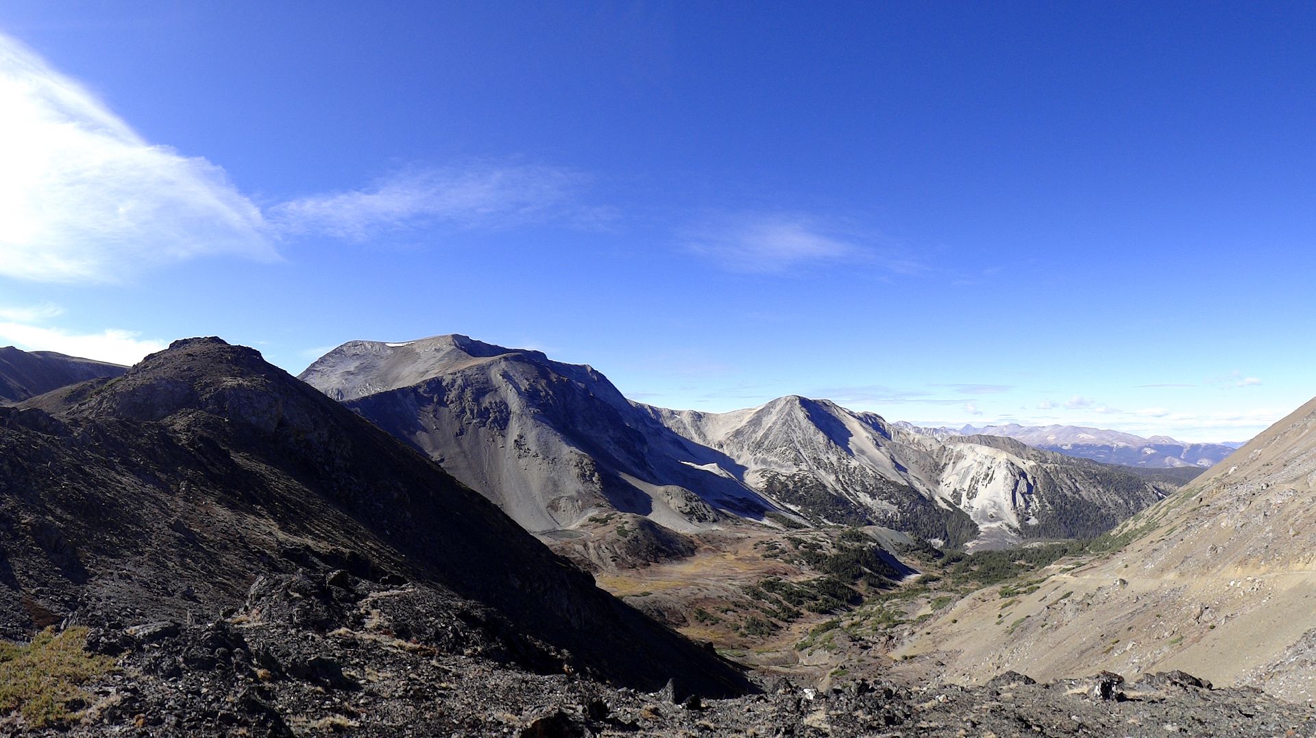
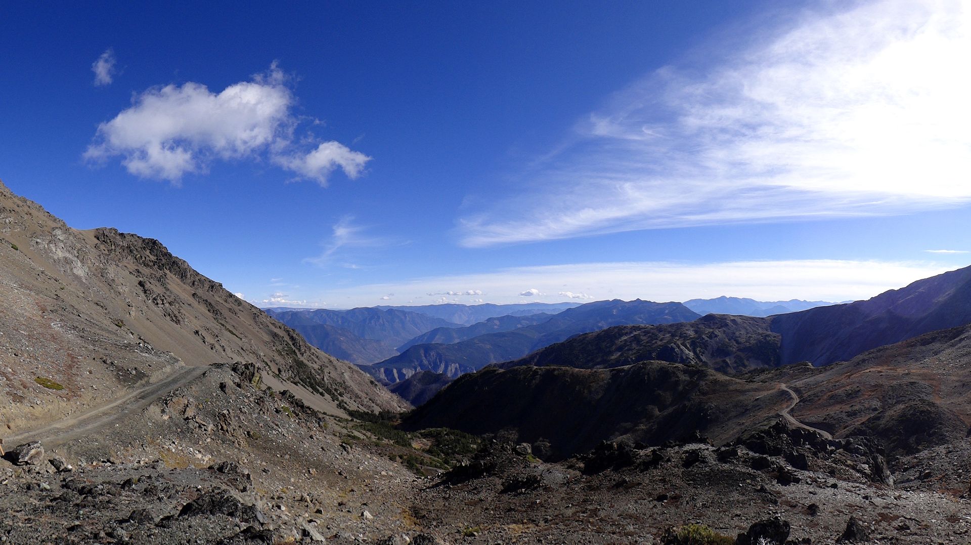
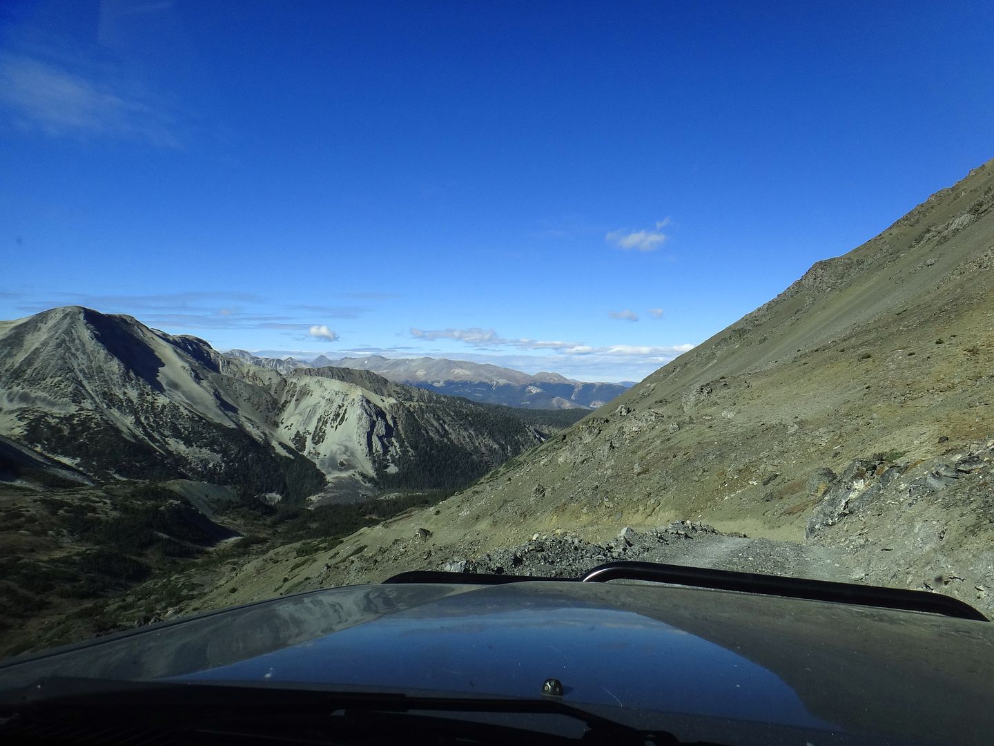
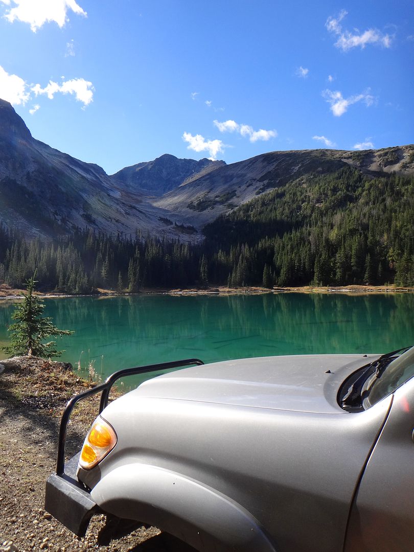
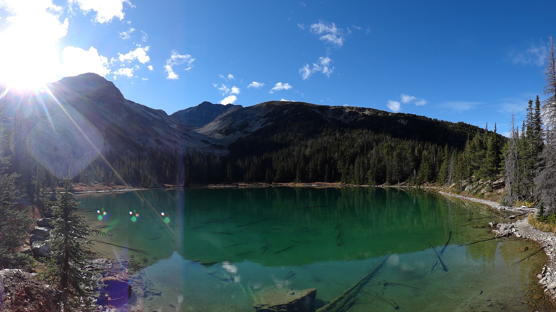
This area really is beautiful:
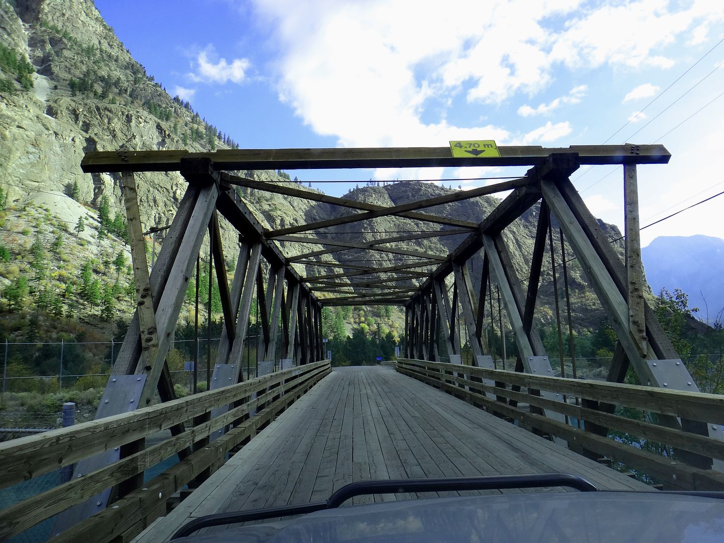
One-laned bridge on the 99 highway into town, over the hydro dam spillway:
Continued....
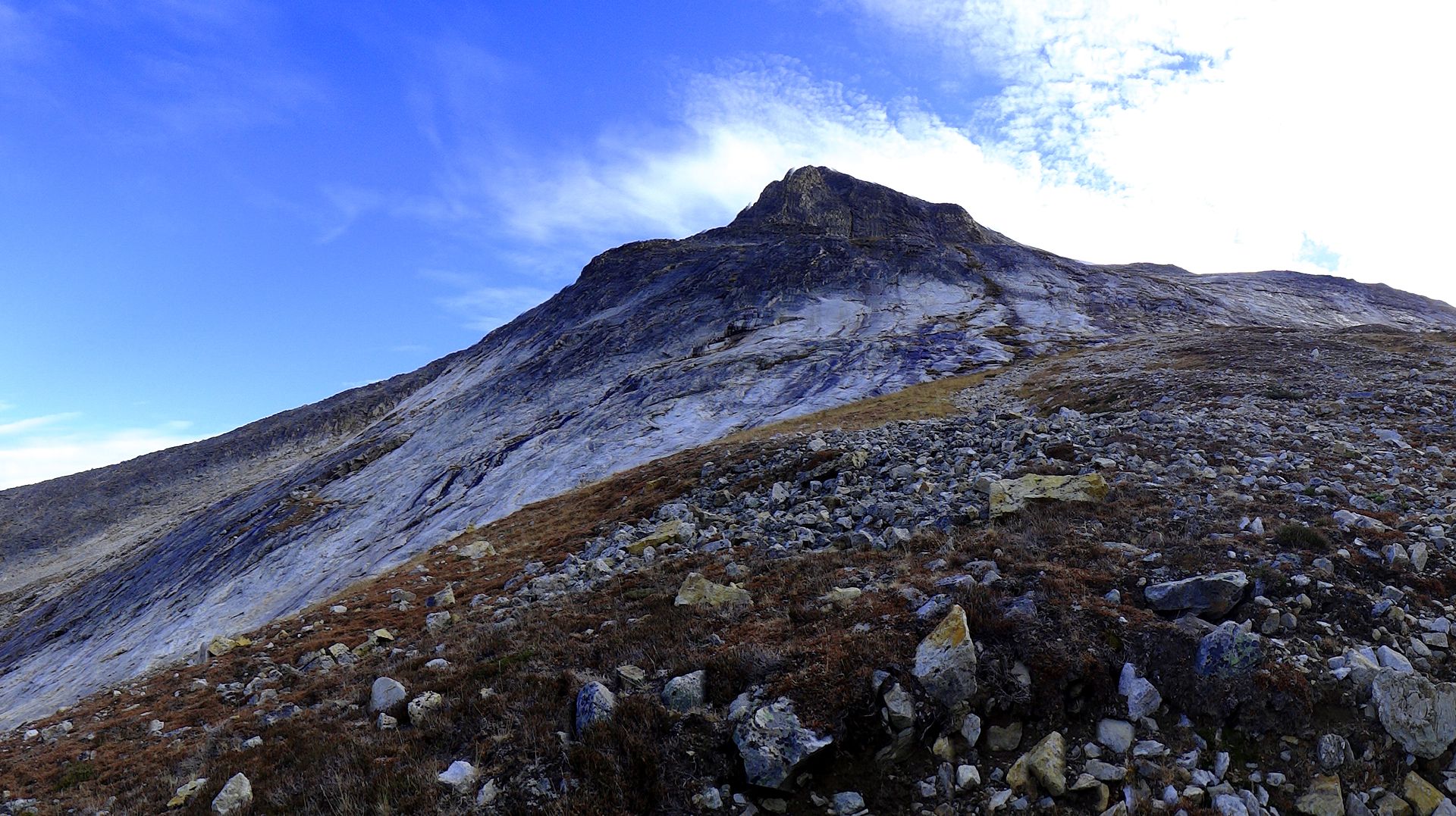
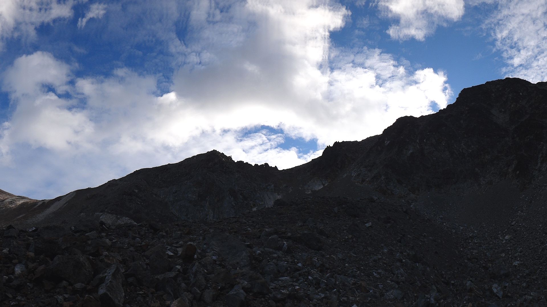
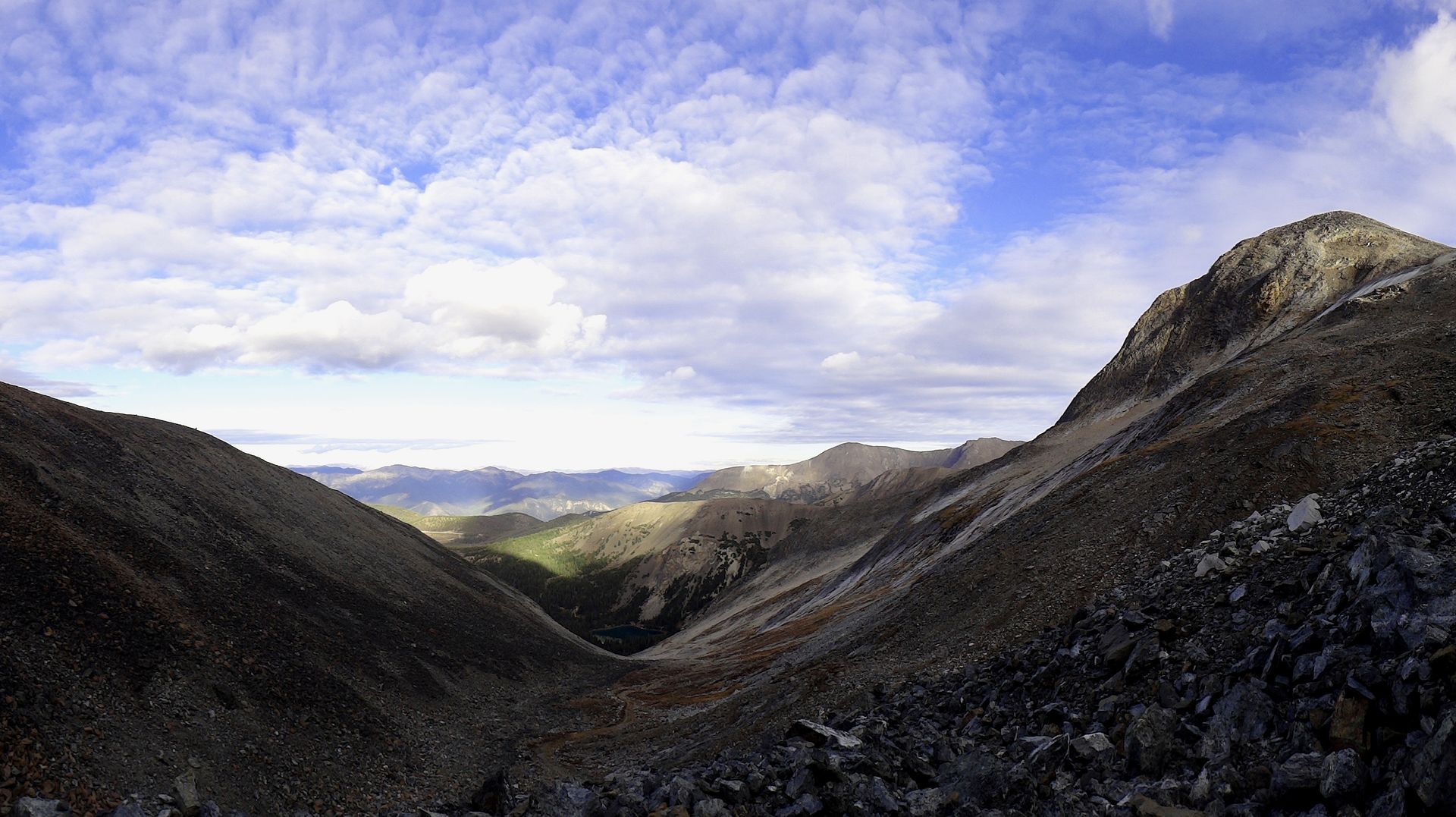
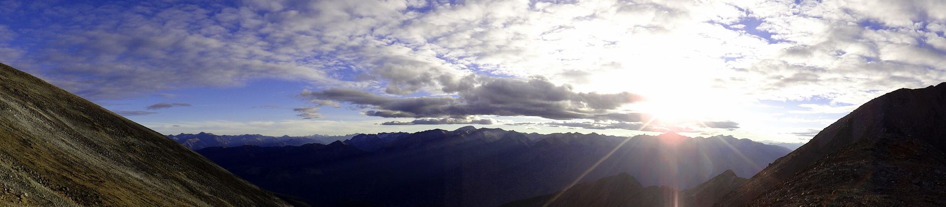
I had about four days to spend on a solo adventure and the weather in the South-Western BC area was looking half decent. After some hasty googling and research on Dualsport BC and Bivouac.com (Canadian Mountain Encyclopedia - handy for all things mountains, including road reports etc), I set my sights on a generally unknown and rarely visited area in the Shulaps Range north of Lillooet, BC.
I developed a few rough goals for the trip, specifically because setting objectives makes things spicier. Also, leaving behind my wife and son for this adventure allowed me to plan to do some things I normally wouldn't with the fam along (think risk or comfort levels).
Goals/Objectives:
1) Explore somewhere new;
2) Spend the night on top of a mountain;
3) Get some exercise.
So did I reach my objectives? You'll have to read on for the story...
Note: trip photos were taken with both an iphone and a handheld digital camera so nothing fancy.
Day One - Tues Oct 14th:
Due to other commitments, I did not leave home in Langley until dark. I left my trip plans with two different people however they were pretty vague considering things could change instantly depending on weather, condition of trails etc.
Packing up the truck in the afternoon, much easier to pack for one:
A few of the items packed:
-hiking boots
-trekking pole
-backpack tent
-60L backpack
-MSR lightweight stove
-old negative 7 degree sleeping bag
-thermarest
-car camping sleeping bag
-UDAP Pepper Power bear spray with holster
-tow strap / recovery kit
-leather gloves for winch line
-axe
-saw
-shovel
-small chainsaw
-jack
-tools
-camp flood light (12v, magnetic base for mounting on truck0
-camp chair
-folding camp table
-coleman propane stove
-3X 1lb propane canisters
-food and small cooler (gotta have cream in the coffee)
-firestarter kit
-books!
-backroad map books
-relevant Cdn Topo maps downloaded (free) for offline use
I hit the road and traffic was light thanks to it being a weeknight. I picked up some food staples along the way and was in good spirits for the adventure ahead. I flew out on the Trans Can east toward Hope, enjoying the new 110 km/h speed limits. I buzzed through Hope (practically a ghost town after 9pm) and unfortunately didn't stop at the Blue Moose - the best coffee bar in Hope - as it was closed for the night.
After Hope I continued up the Fraser Canyon, stopping to take some night photos at one of the many historic spots along this area of the highway. Turned out not bad considering I wasn't using a tripod:
While the digital point and shoot I was using is a fairly decent camera, it lacks the manual functions required to really obtain decent night shots...
Since highway traffic was so light, I stopped to take a snap of one of the tunnels that are pretty cool to drive through. Usually the truck traffic is too busy during the day to stop and get a shot. As kids we'd always have fun trying to hold our breath while dad drove through the tunnels. Sometimes he would slow down so we'd have to hold our breath for longer but it would just make us laugh. The longest tunnel, the China Bar tunnel, is only about a kilometre long though. This is one of the short ones:
So my plan that evening was to continue all the way to the Lillooet area and stay at the BC Hydro Rec Site on the west end of town. It would just be a quick stop over for sleep and not really to camp. Unfortunately when I pulled into the Rec Site, the gate was closed (probably because it was after midnight). Stumped, I continued on to the picnic area and found the gate open! I drove down to the parking lot at the edge of Seton Lake / BC Hydro dam area and had the parking lot to myself. I backed into a stall, climbed in the back to sleep and "ninja-camped" right there.
I love how rugged the Lillooet area is.. there's no doubt why the Town's saying is "Guaranteed Rugged". Lillooet sits at the bottom of a deep rocky canyon with peaks rising to almost 9000 ft all around it. All roads leading in and out of town are fairly windy canyon carving type highways with switchbacks and frequent rock slides and forest fires. Despite it's semi-arid environment, there are plenty of glaciers and ice fields close to town as well. The town itself is kinda ugly but living in the area would be an outdoor enthusiasts dream.
Rocky bluffs rising steeply up from my parking lot:
The lake was fairly calm in the morning and I snapped some pics:
Now I rarely get behind the camera, but thought my wife would enjoy one or two of me:
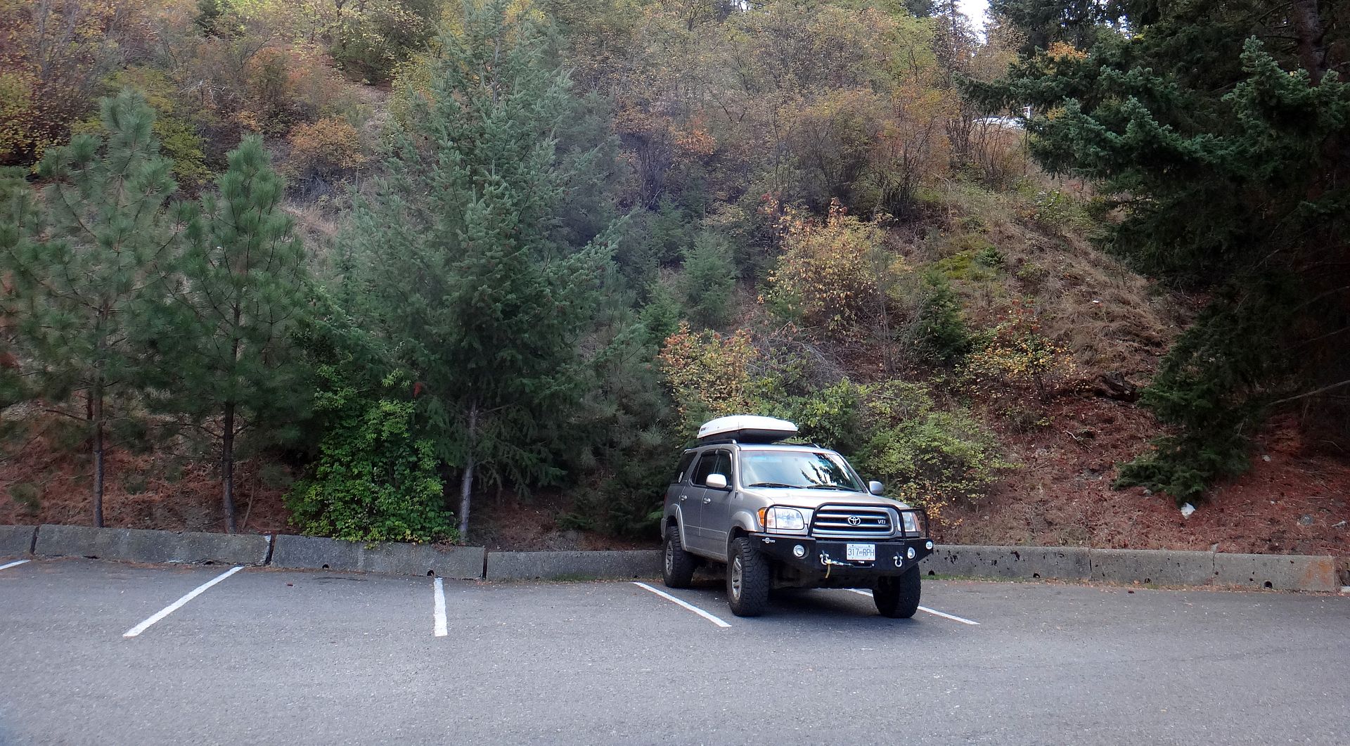
I drove back up the road and found the gate to the Rec Site to be open this time. I'd never previously checked out the campsite so I gave it a quick tour. It seems to be well kept and it's even free to stay, a courtesy of BC Hydro. I think they even provide firewood at times!
I had a quick chuckle at this sticker added to the stop sign:
This area really is beautiful:
One-laned bridge on the 99 highway into town, over the hydro dam spillway:
Continued....

")