turbodb
Well-known member
It'd been several weeks since my last trip and as usual that meant I had a bad case of the shakes. Spring is such a frustrating time from an adventure perspective - the weather seems so nice, and yet everywhere interesting is still covered in snow. And, the winter staple - the desert - is getting hot.
You can imagine my delight when a check of the weather showed that the Alvord Desert - a place we'd visited for the first time last October - was going to have weather in the mid-70's. From my perspective, we hadn't spent nearly enough time there exploring the roads; from @mrs.turbodb's point of view: we'd skipped all of the hot springs!
The horror, I know.
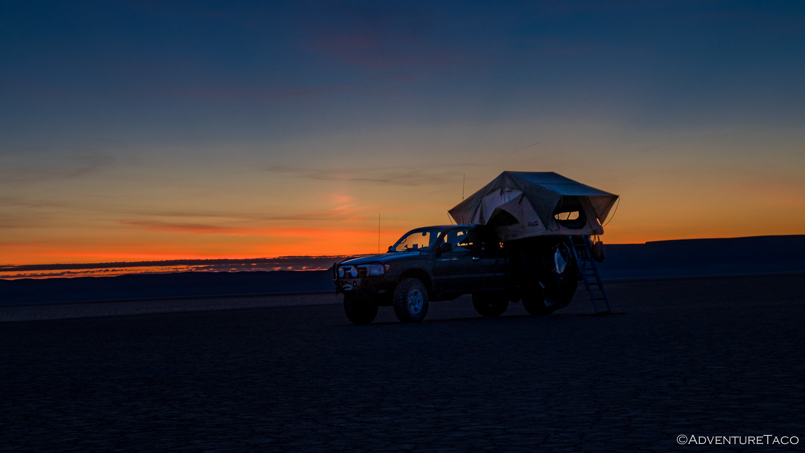
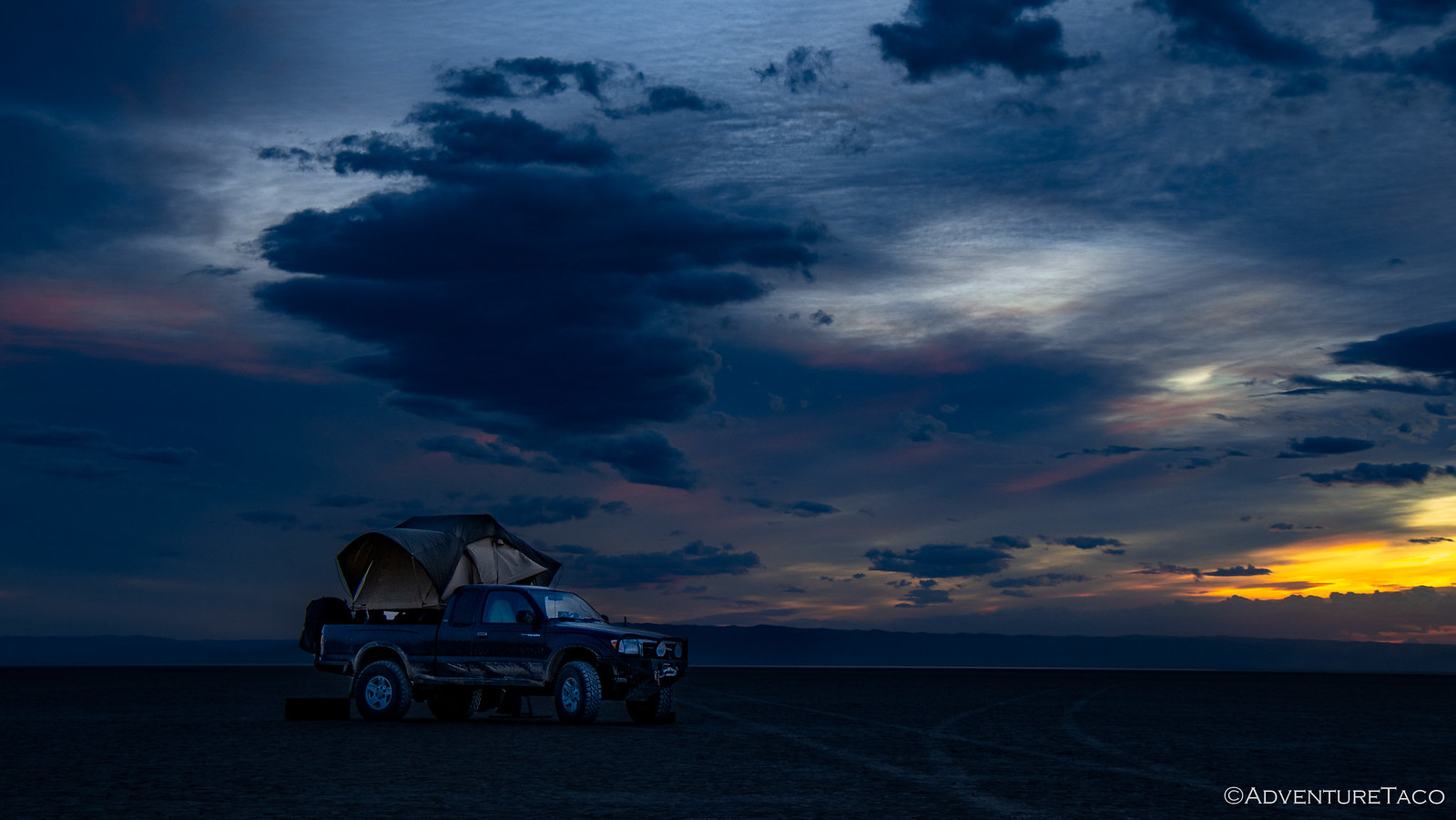
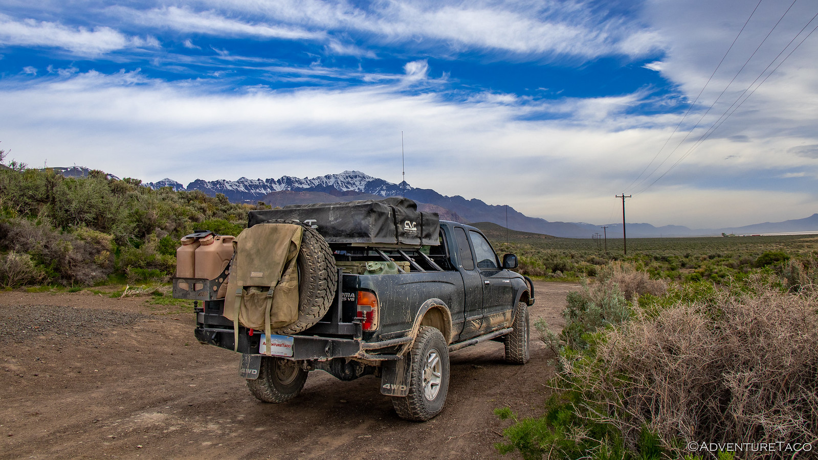
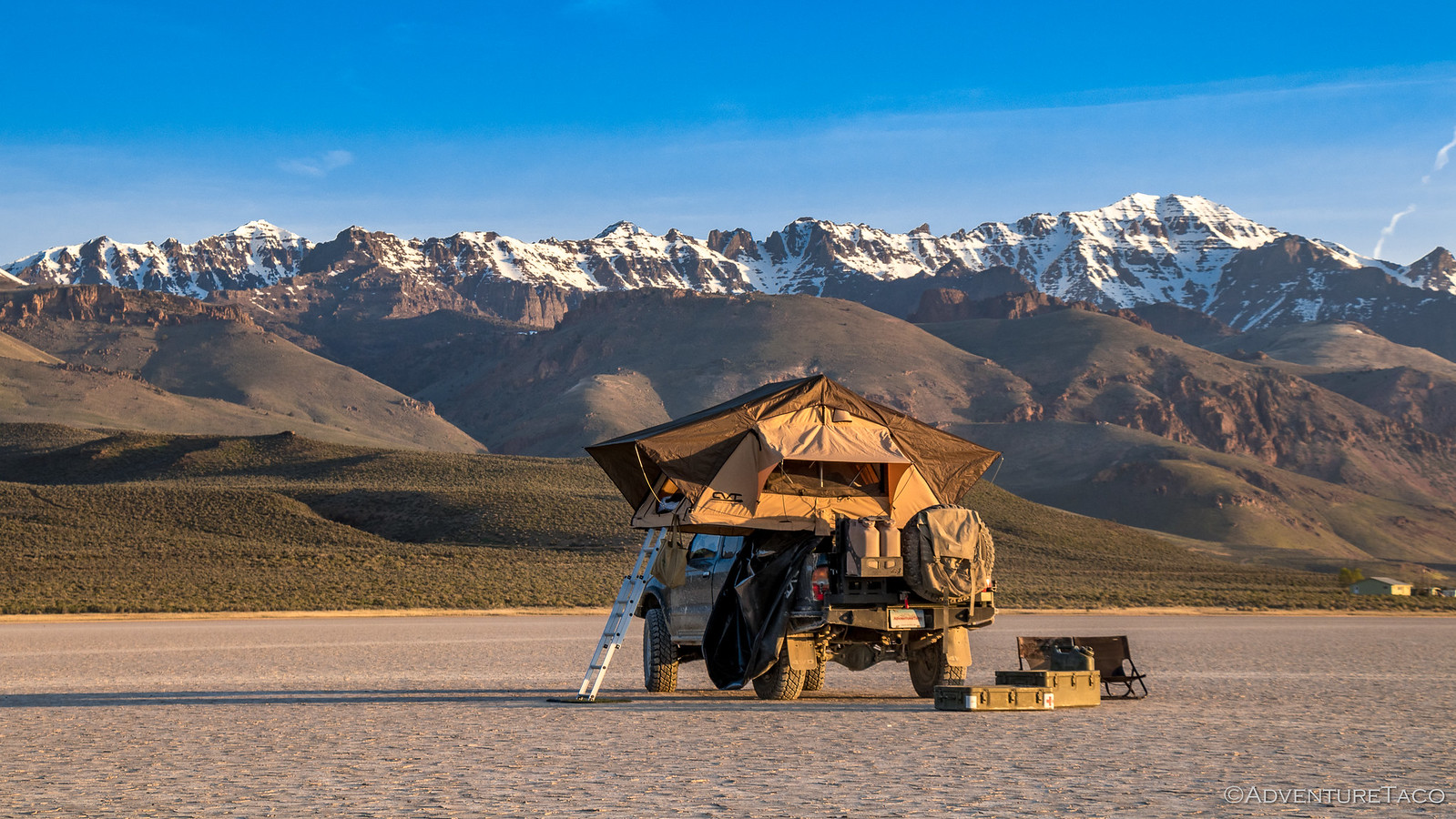
We got a late start due to life getting in the way and arrived at the Alvord Playa in southeast Oregon just after 10:00pm. We found the perfect (random) spot two miles from the edge and with no need to level the truck, we quickly got setup - ready for some of the great sleep afforded by our Exped Megamat Duo and for what the next day would bring.
From the get-go, it didn't disappoint. Not by a long shot.
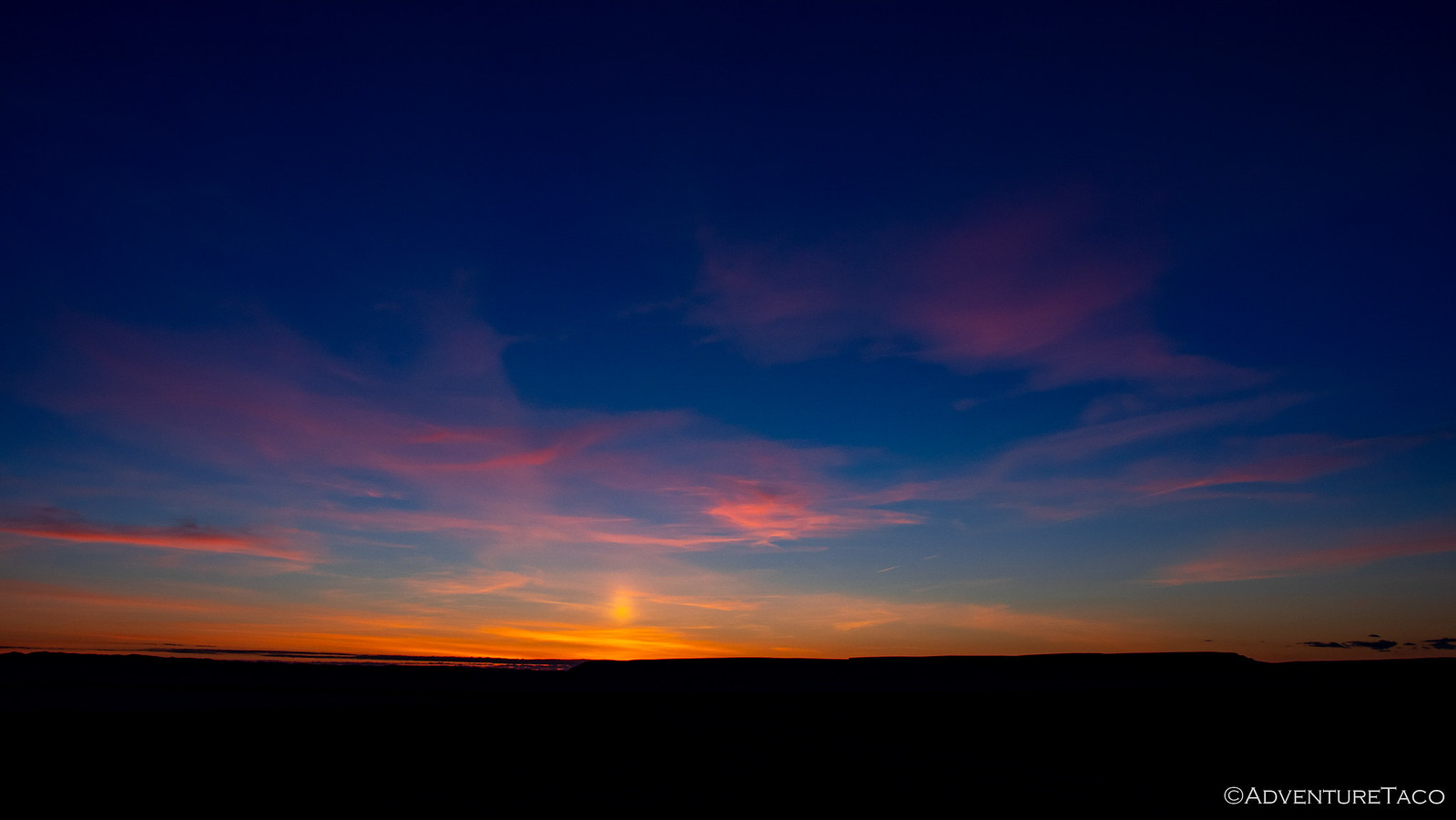
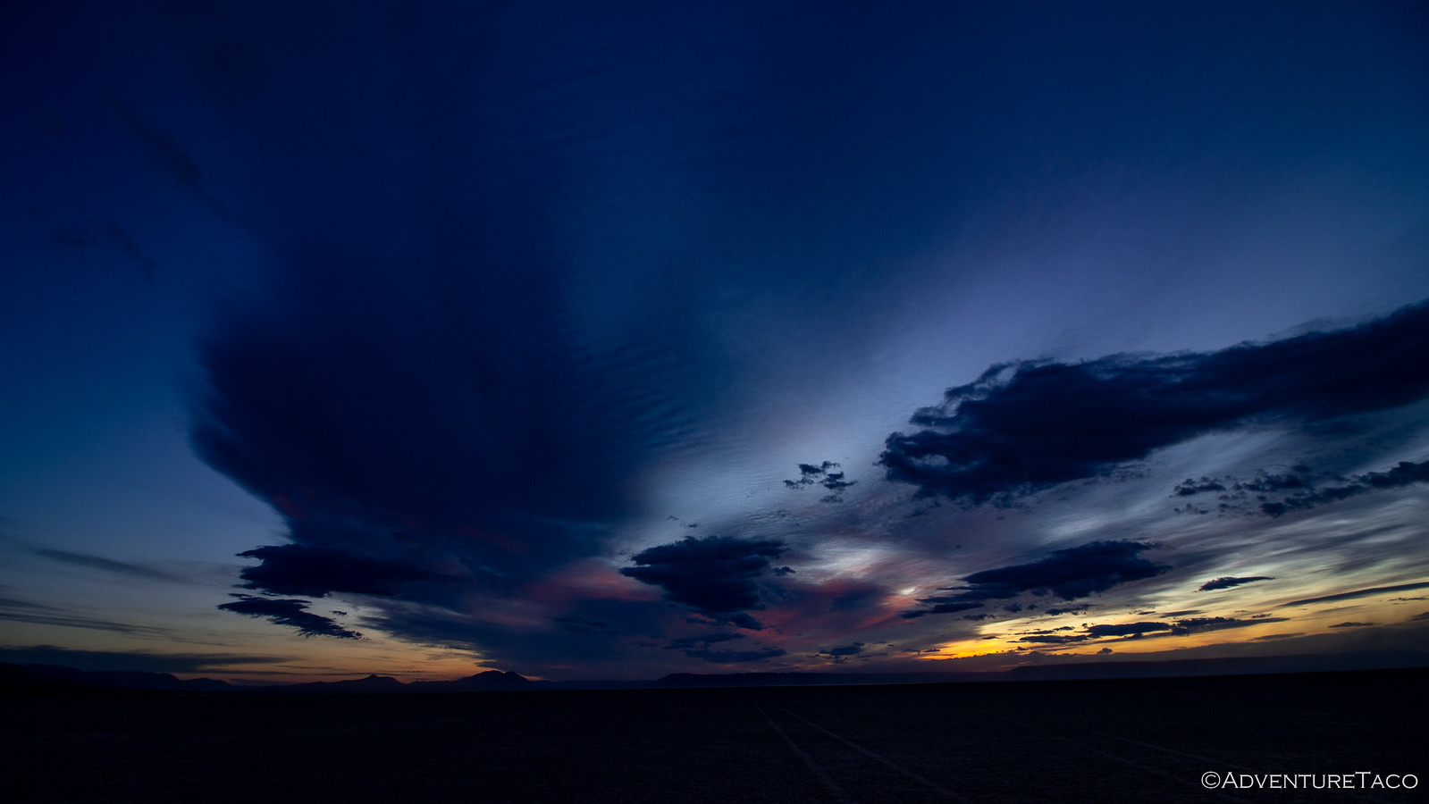
I poked around outside the truck for a few minutes, but it wasn't long before I climbed back in - the warmth and snuggles too alluring to keep me on the playa for an extended period. Plus - a secret that only early-risers know - there are two sunrises on the best mornings. There's that orange glow on the horizon that signals the continued existence of the sun, and then an hour later, the actual sunrise!
And there, now I've let the secret out of the bag.
While only I got to enjoy the first sunrise of the morning, we both soaked in the second - initially from the comfort of the tent, but shortly after, we were up and about, getting ready for what we thought would be a reasonably relaxed day.
As the sun rose to the east, "we" got breakfast ready to go, where "we" included me eating the Honey Bunches of Oats with Almonds topped with fresh strawberries. :hungry: To our west, Steens Mountain - still covered in snow - rose a mile above us, a reminder that this wouldn't be our last trip to the area - the highest road in Oregon on our list of places to visit.
While breakfast was prepared, I escaped the title of complete slouch by putting away the tent and breaking down camp. And with our amazing divide-and-conquer teamwork, we were ready to roll out of camp by 8:42am. We had some learning to do when it came to the definition of "relaxed day."
Our first destination was due east another 3 miles on the far side of the Alvord Playa: Big Sand Gap.
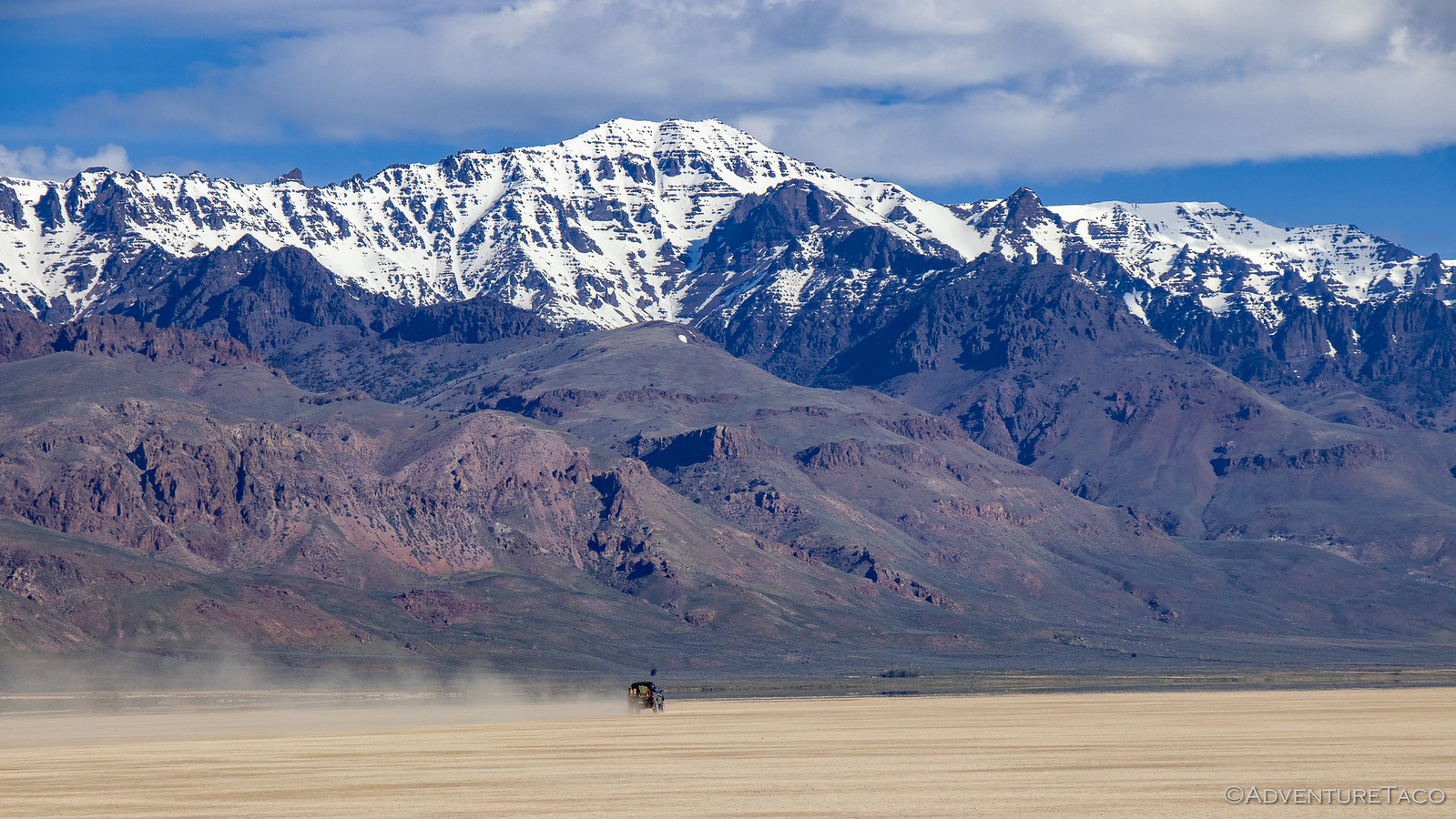
I don't know if anyone actually remembers the last time we visited, but one of the most remarkable things about the Playa is the surreal experience you get when driving on it at high speed. It's so flat, and so vast, that objects in the distance appear stationary while the ground around the truck is flying by. The only reaction I've ever seen to this phenomenon is a big-old-smile, and that's what happened this time as well, as dust kicked up behind us, hanging in the still air - a Taco contrail.
To @mrs.turbodb's delight, we both took turns making dust before turning east again - Steens Mountain rising up behind us.
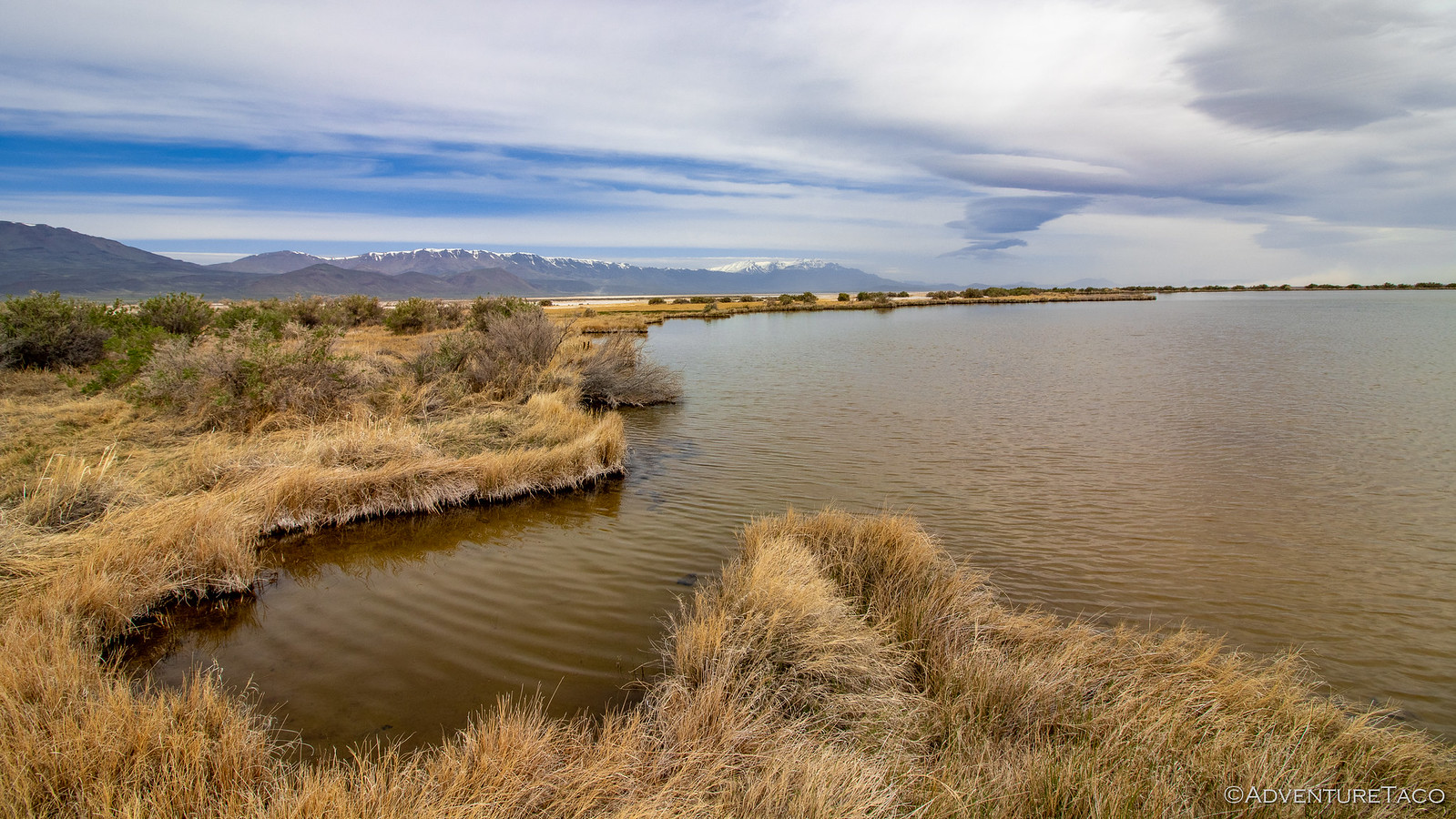
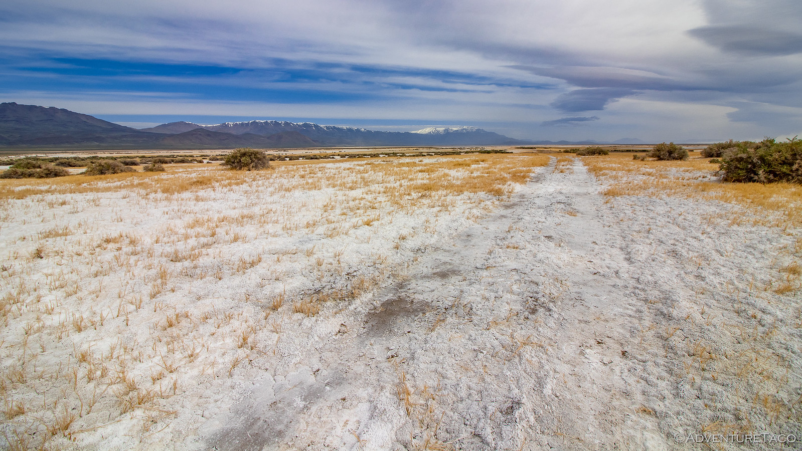
The Alvord Playa is among the largest playas in all of Oregon. Formed when rain water falls, fills shallow depressions in the landscape, and then evaporates, this flat basin is a called a graben - a basin down-dropped by faulting around it. In this case, it's approximately 8 miles east-west and 70 miles north-south - though the "drive-it-like-you-stole-it" lake bed is really more like 5-by-10 miles - and marks the easternmost border of Oregon's Basin and Range, which is slowly extending westward. This movement, due to active faulting in the Alvord Desert has uplifted and tilted the surrounding ranges - Steens Mountain, etc. - leaving any water that enters the Alvord Playa to escape only via evaporation.
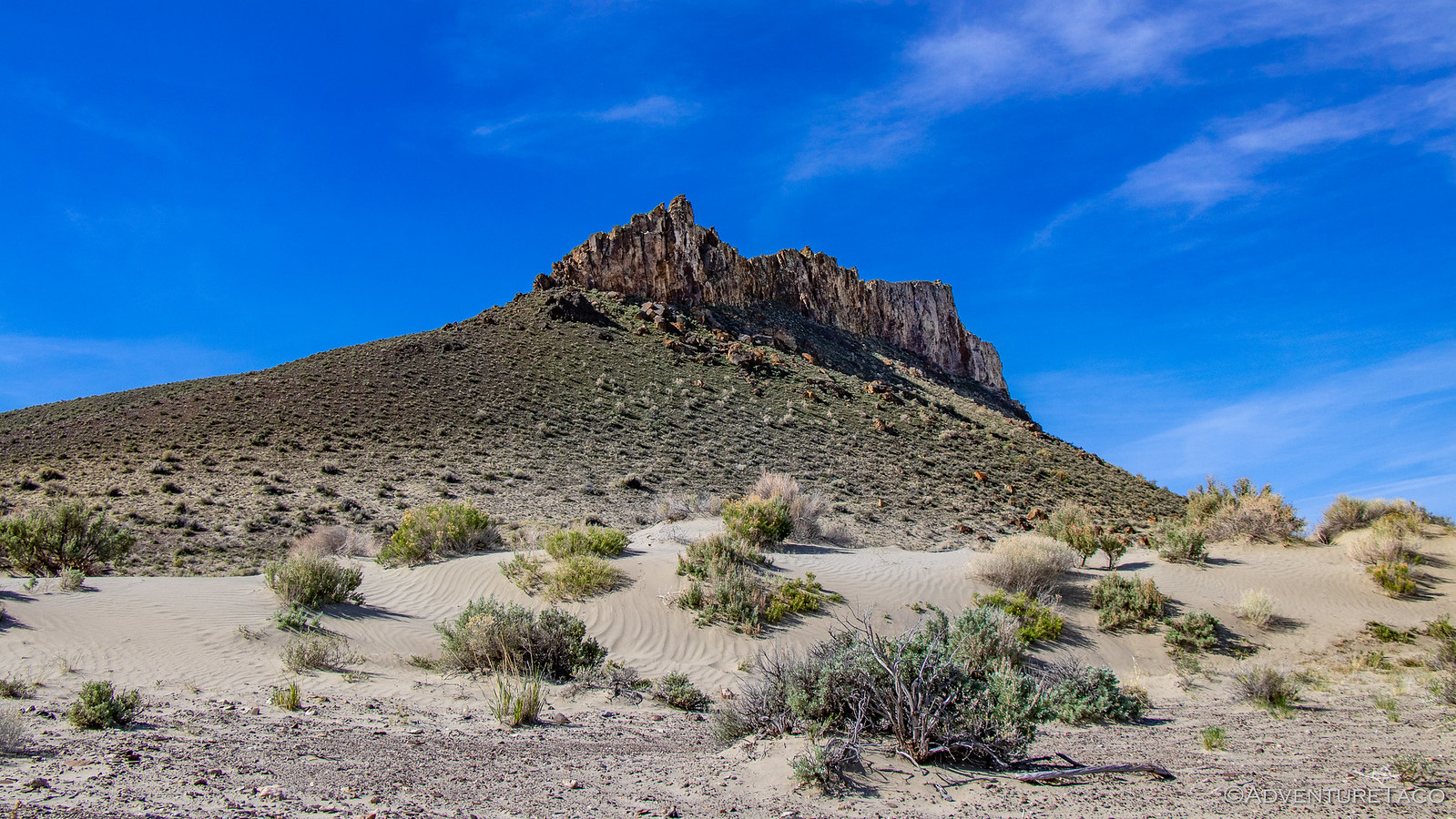
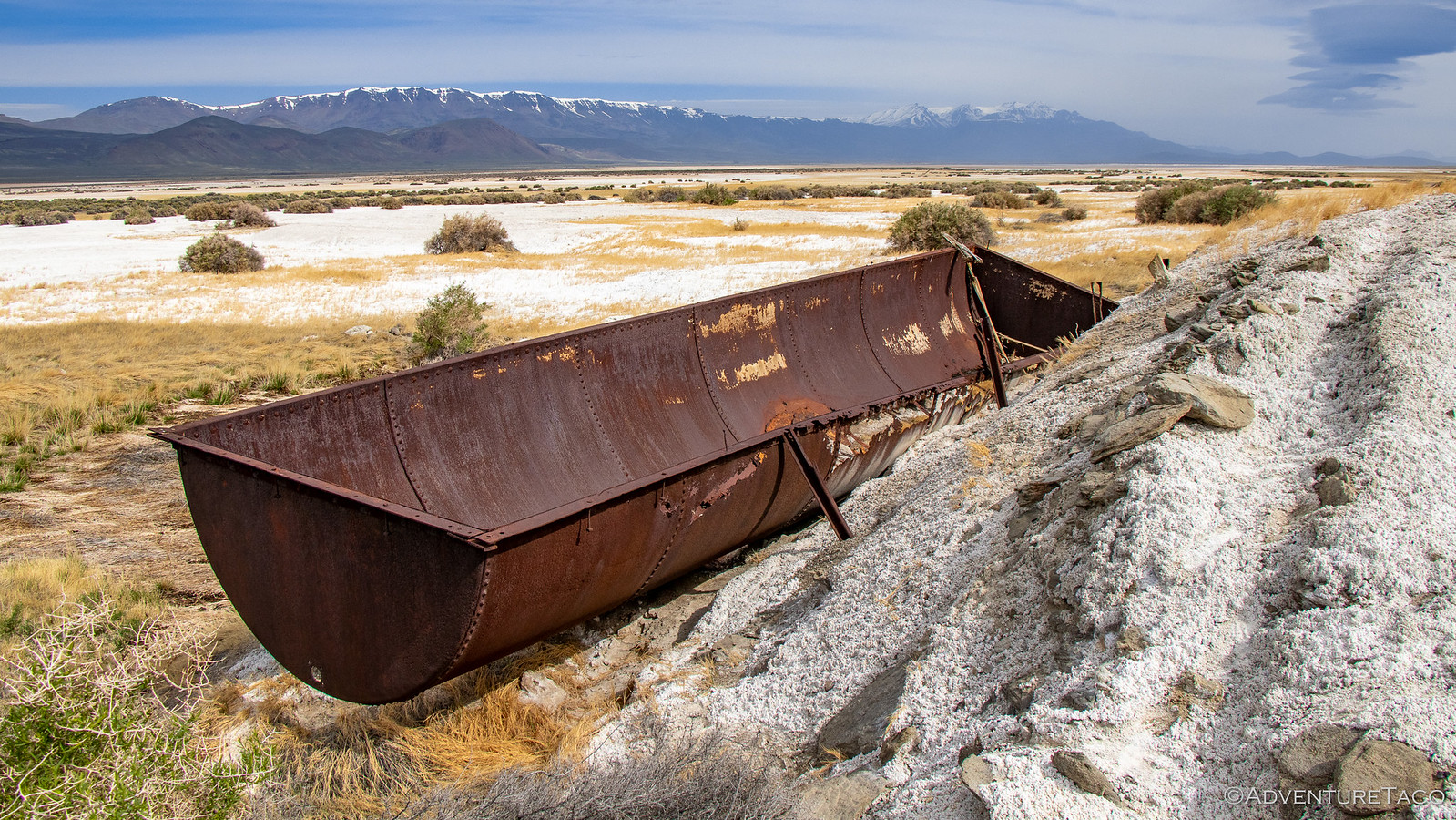
Our goal for the morning was to head to the eastern edge - to Big Sand Gap - where 13,000-14,000 years ago the water burst through the lake's rim and sent some 40,000 cubic yards per second of water down the drainage of Crooked Creek and into the Owyhee River, dramatically lowering the lake level.
We found a spot to park next to some horse hitching posts near the edge of the Playa and headed off, another two miles of flat sandy ground to cover before we reached the gap. Of course, to us it looked like a half-mile or so - distances in this desert, like Death Valley, messing with our internal range finders.
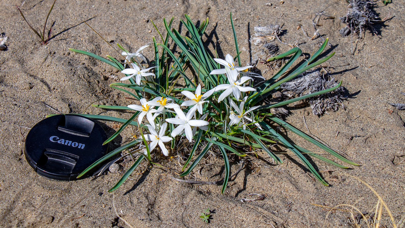
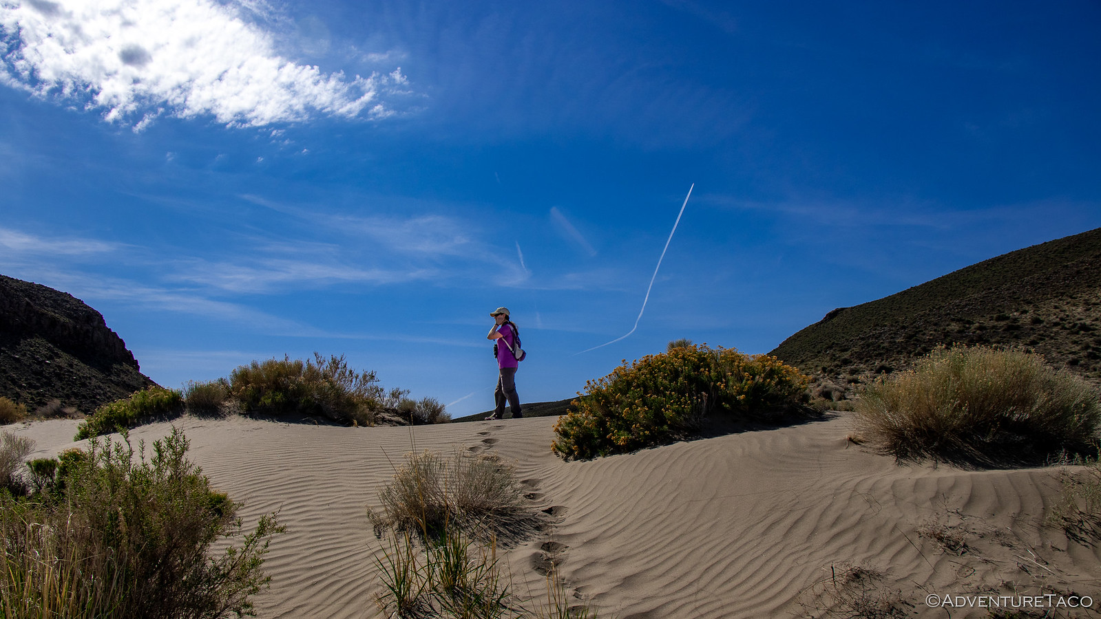
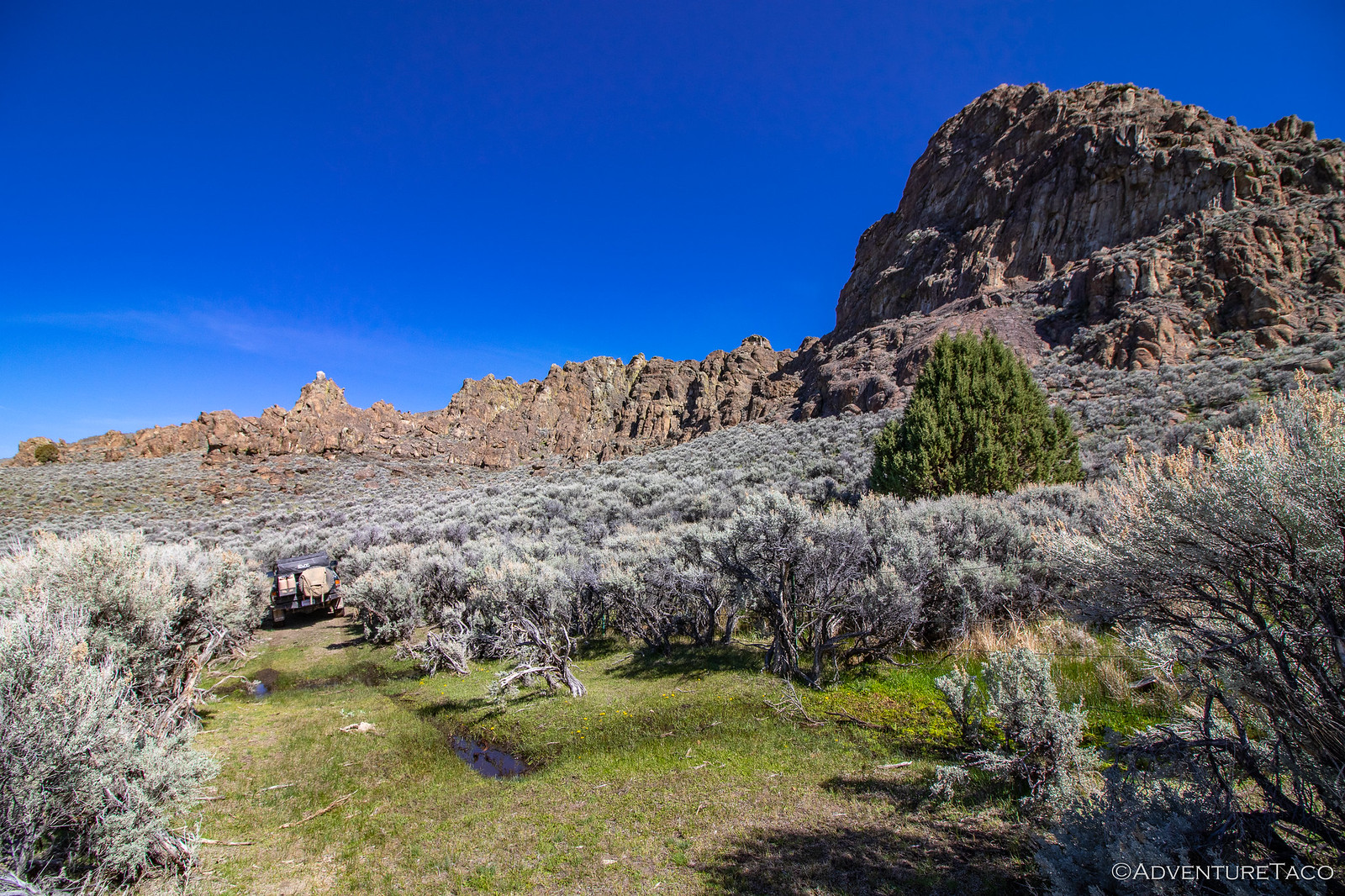
As has been the case on several trips so far this year, we hit this one at just the right time to get a completely unnatural experience - green. It was spring in the desert and not only was there green grass in place of the normally golden grass on the surrounding hills, but there were wildflowers bursting out of every hole.
Some of them fragrant. In a good way, not like my feet.
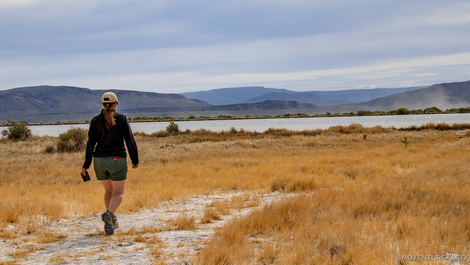
We made quick work of the two miles as we followed wild horse trails to the gap, stopping now and then to empty the fine sand out of our shoes.
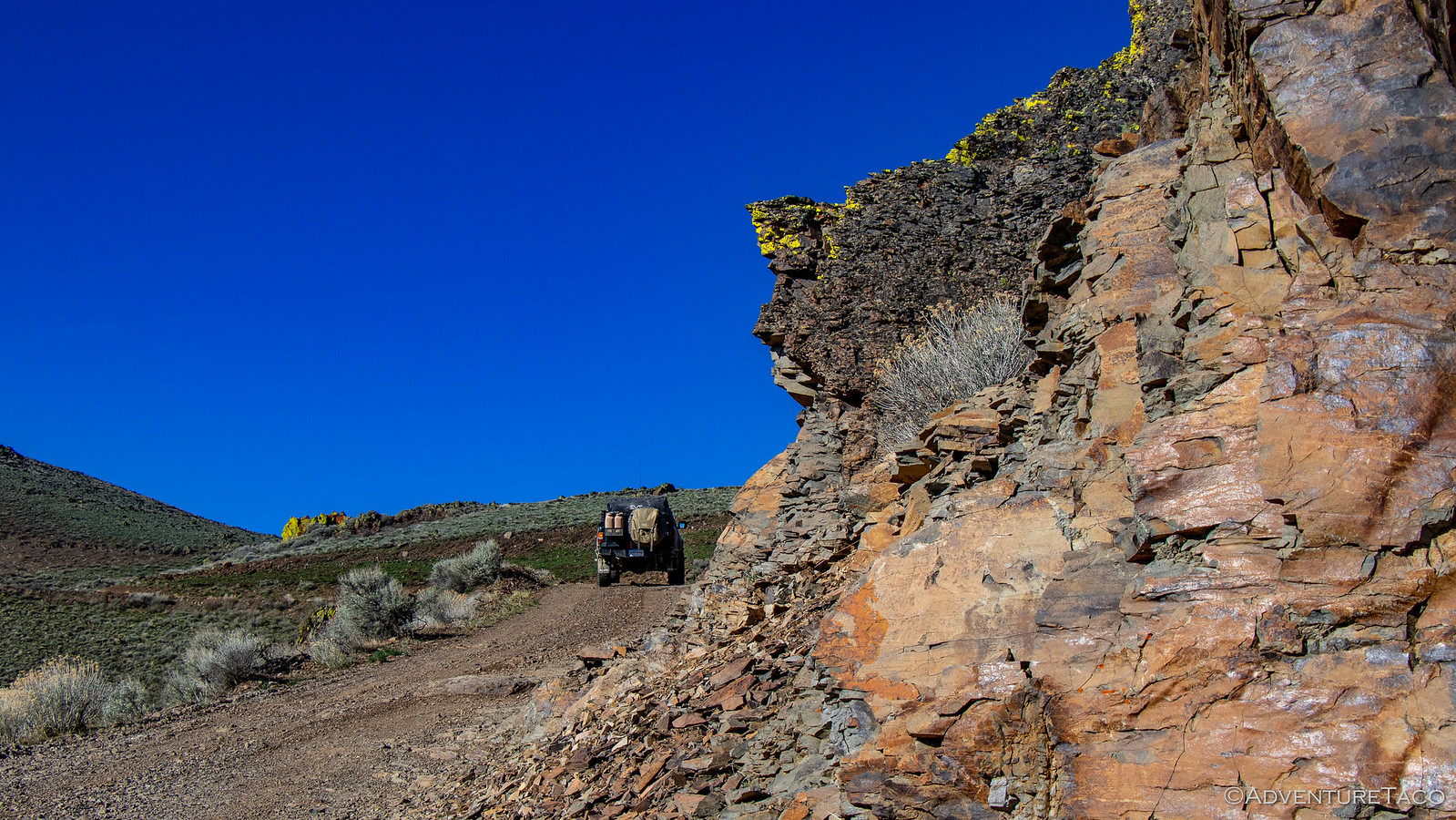
To our surprise, the first thing we noticed upon our arrival was a road. I'd done quite a bit of research prior to the trip on the various roads around the Playa, and there were several that we were planning on exploring over the course of the next couple days. But nowhere had I found this road.
We ignored my oversight like you might a second-favorite-child, and added it to our list for the next day as we headed up the southern cliff to get a view of where we'd been.
It was a great one, and we enjoyed it - albeit gingerly, the rocks top of the cliff literally teetering on the edge of what was quite clearly an active fault.
- - - - -
Don't miss the rest of the story, and all the remaining photos that don't fit here (due to max post size). Hopefully that can change in the future, but until then...
.
You can imagine my delight when a check of the weather showed that the Alvord Desert - a place we'd visited for the first time last October - was going to have weather in the mid-70's. From my perspective, we hadn't spent nearly enough time there exploring the roads; from @mrs.turbodb's point of view: we'd skipped all of the hot springs!
The horror, I know.
We got a late start due to life getting in the way and arrived at the Alvord Playa in southeast Oregon just after 10:00pm. We found the perfect (random) spot two miles from the edge and with no need to level the truck, we quickly got setup - ready for some of the great sleep afforded by our Exped Megamat Duo and for what the next day would bring.
From the get-go, it didn't disappoint. Not by a long shot.
I poked around outside the truck for a few minutes, but it wasn't long before I climbed back in - the warmth and snuggles too alluring to keep me on the playa for an extended period. Plus - a secret that only early-risers know - there are two sunrises on the best mornings. There's that orange glow on the horizon that signals the continued existence of the sun, and then an hour later, the actual sunrise!
And there, now I've let the secret out of the bag.
While only I got to enjoy the first sunrise of the morning, we both soaked in the second - initially from the comfort of the tent, but shortly after, we were up and about, getting ready for what we thought would be a reasonably relaxed day.
As the sun rose to the east, "we" got breakfast ready to go, where "we" included me eating the Honey Bunches of Oats with Almonds topped with fresh strawberries. :hungry: To our west, Steens Mountain - still covered in snow - rose a mile above us, a reminder that this wouldn't be our last trip to the area - the highest road in Oregon on our list of places to visit.
While breakfast was prepared, I escaped the title of complete slouch by putting away the tent and breaking down camp. And with our amazing divide-and-conquer teamwork, we were ready to roll out of camp by 8:42am. We had some learning to do when it came to the definition of "relaxed day."
Our first destination was due east another 3 miles on the far side of the Alvord Playa: Big Sand Gap.
I don't know if anyone actually remembers the last time we visited, but one of the most remarkable things about the Playa is the surreal experience you get when driving on it at high speed. It's so flat, and so vast, that objects in the distance appear stationary while the ground around the truck is flying by. The only reaction I've ever seen to this phenomenon is a big-old-smile, and that's what happened this time as well, as dust kicked up behind us, hanging in the still air - a Taco contrail.
To @mrs.turbodb's delight, we both took turns making dust before turning east again - Steens Mountain rising up behind us.
The Alvord Playa is among the largest playas in all of Oregon. Formed when rain water falls, fills shallow depressions in the landscape, and then evaporates, this flat basin is a called a graben - a basin down-dropped by faulting around it. In this case, it's approximately 8 miles east-west and 70 miles north-south - though the "drive-it-like-you-stole-it" lake bed is really more like 5-by-10 miles - and marks the easternmost border of Oregon's Basin and Range, which is slowly extending westward. This movement, due to active faulting in the Alvord Desert has uplifted and tilted the surrounding ranges - Steens Mountain, etc. - leaving any water that enters the Alvord Playa to escape only via evaporation.
Our goal for the morning was to head to the eastern edge - to Big Sand Gap - where 13,000-14,000 years ago the water burst through the lake's rim and sent some 40,000 cubic yards per second of water down the drainage of Crooked Creek and into the Owyhee River, dramatically lowering the lake level.
We found a spot to park next to some horse hitching posts near the edge of the Playa and headed off, another two miles of flat sandy ground to cover before we reached the gap. Of course, to us it looked like a half-mile or so - distances in this desert, like Death Valley, messing with our internal range finders.
As has been the case on several trips so far this year, we hit this one at just the right time to get a completely unnatural experience - green. It was spring in the desert and not only was there green grass in place of the normally golden grass on the surrounding hills, but there were wildflowers bursting out of every hole.
Some of them fragrant. In a good way, not like my feet.
We made quick work of the two miles as we followed wild horse trails to the gap, stopping now and then to empty the fine sand out of our shoes.
To our surprise, the first thing we noticed upon our arrival was a road. I'd done quite a bit of research prior to the trip on the various roads around the Playa, and there were several that we were planning on exploring over the course of the next couple days. But nowhere had I found this road.
We ignored my oversight like you might a second-favorite-child, and added it to our list for the next day as we headed up the southern cliff to get a view of where we'd been.
It was a great one, and we enjoyed it - albeit gingerly, the rocks top of the cliff literally teetering on the edge of what was quite clearly an active fault.
- - - - -
Don't miss the rest of the story, and all the remaining photos that don't fit here (due to max post size). Hopefully that can change in the future, but until then...
Keep reading the rest here
Alvord Desert - We Return to Explore (Apr 2019)
Alvord Desert - We Return to Explore (Apr 2019)
.

