Explorer 1
Explorer 1
I started a thread on the preparation for this trip and forgot to start this new thread for the report. So my apologies to the rule makers for not posting properly. I promise to never do it again ( until I forget and do it next time).
So here goes, I'll cut and paste the first 3 days here from the other Thread. If you want to read a little about the preparation here is the link to that Thread.
http://www.expeditionportal.com/forum/threads/154601-Arizona-Strip-2016
Thanks.
Day 1 & 2 Whittier Ca to Grand Gulch Canyon mouth
Arizona Strip 2016
Day 1 & 2
Whittier, Ca to Mesquite NV. to Grand Gulch Canyon mouth:
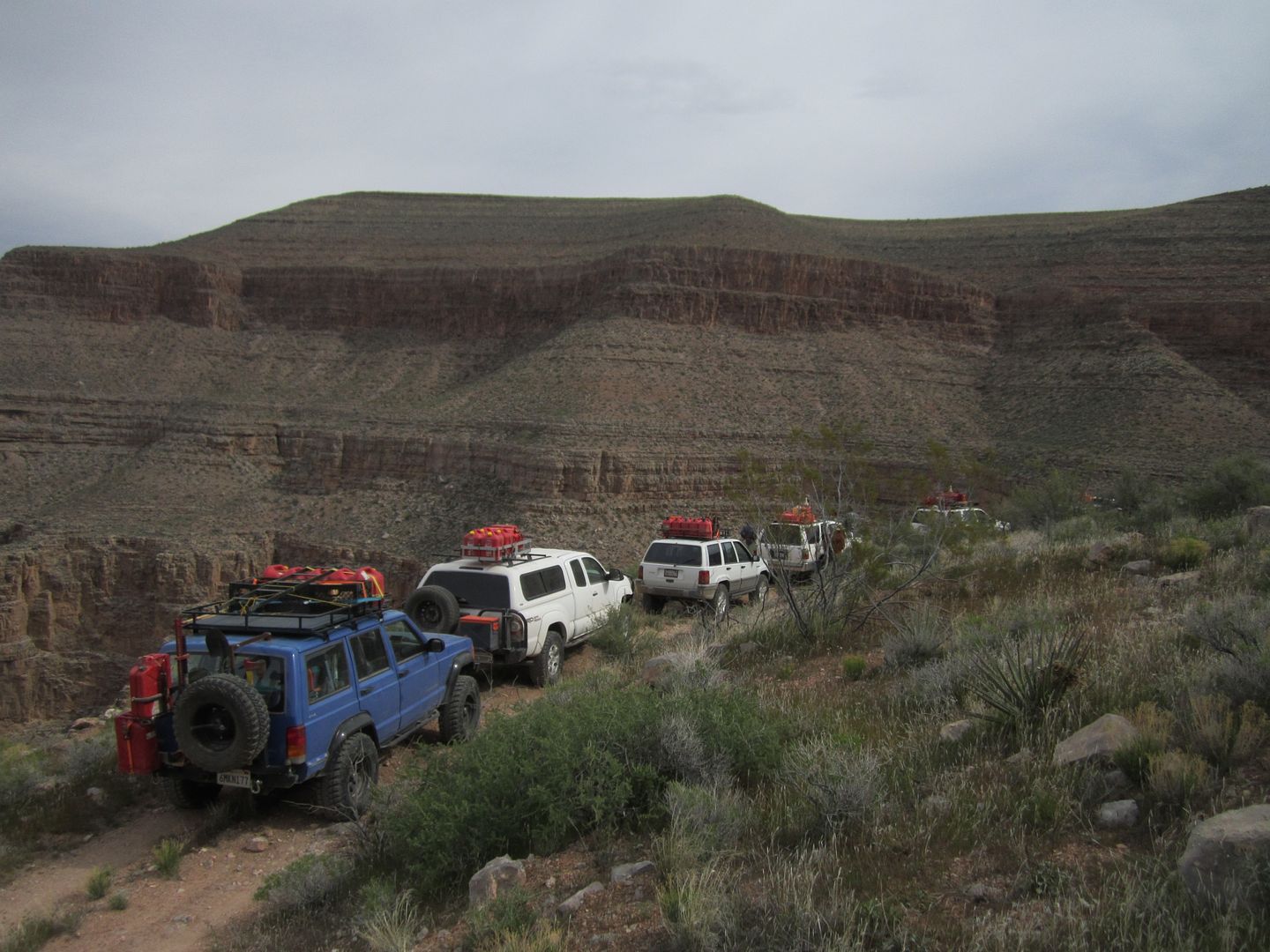
5 vehicles heavily loaded with all the gear, supplies, including food and water for 9 days left Whittier at noon Friday March 25th. Our plan on leaving Friday instead of Saturday was to get a head start for the trailhead near Mesquite NV. We rendezvous with two other vehicles in Victorville and arrived at Valley of Fire State park in the late afternoon.

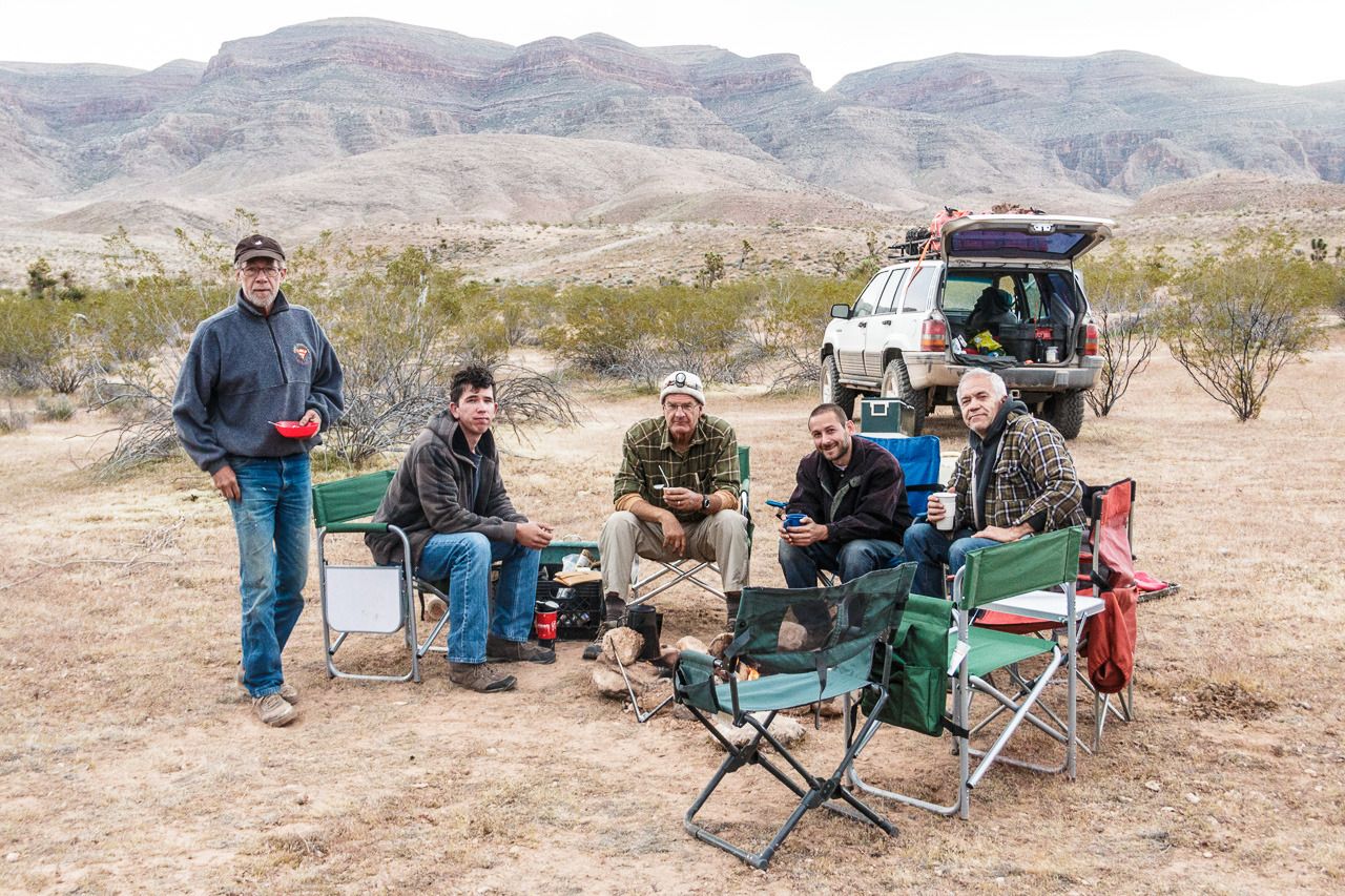
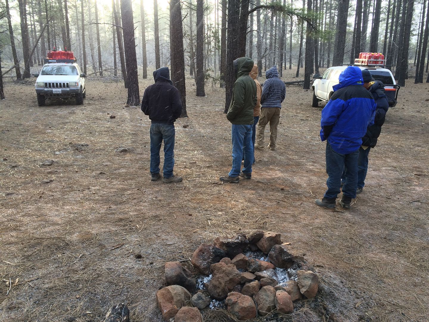
Unfortunately, this is prime camping time for this park and all campsites were already taken. We ended up traveling off pavement a mile or so just outside the park and as it started getting dark we made camp. Pleasant evening around a small campfire and next morning we were all up early and on our way to Mesquite NV.
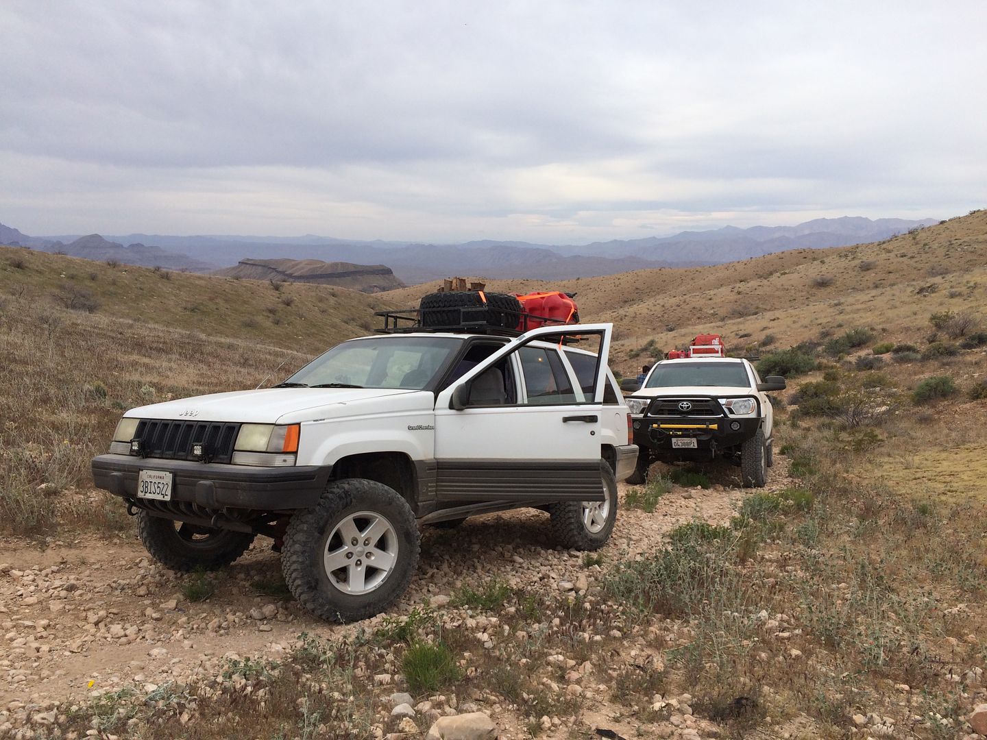
This was my third time in the remote Arizona Strip. Two of our group had traveled with me the first time, for the rest it was their first. Our “team” consisted of guys that had already demonstrated their love for the outdoors and a desire to push the “exploring” envelope a little bit further. All had some off roading experience and vehicles that could handle trail “situations” more or less. It was that “less” word that came to bite me later on the trip.
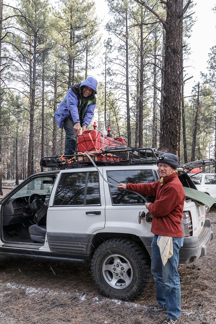
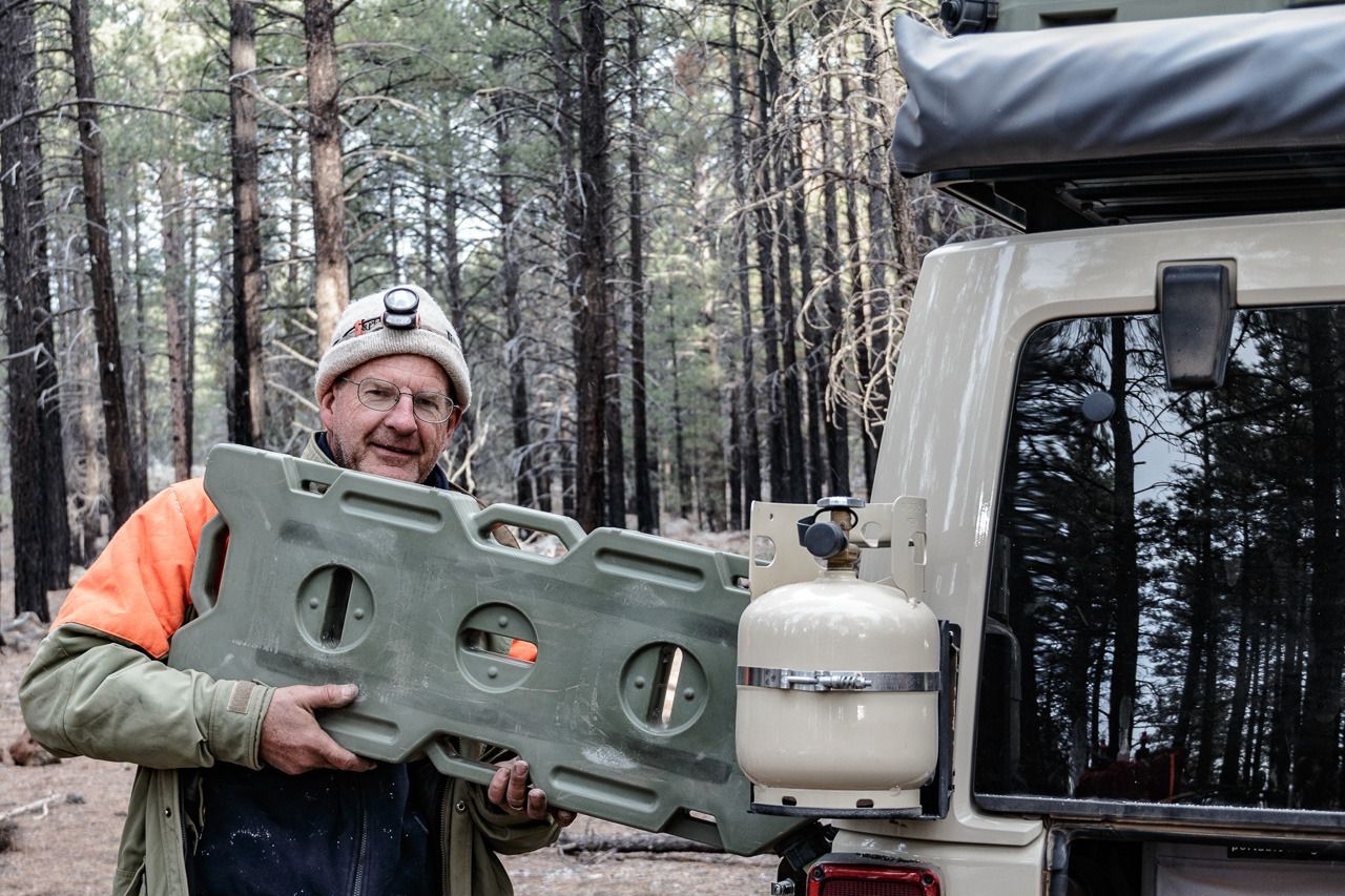
When we arrive in Mesquite the primary mission was to fill out gas tanks to the brim and then proceed to fill all the extra gas cans we had brought. I packed a little over 30 gallons of extra gas along with my main tank of 22 gallons for a total of 52 gallons. Just as I left the gas station some old fellow saw our vehicles and said I guess we were saving money on a cremation. (Nice thought to begin a trip with)
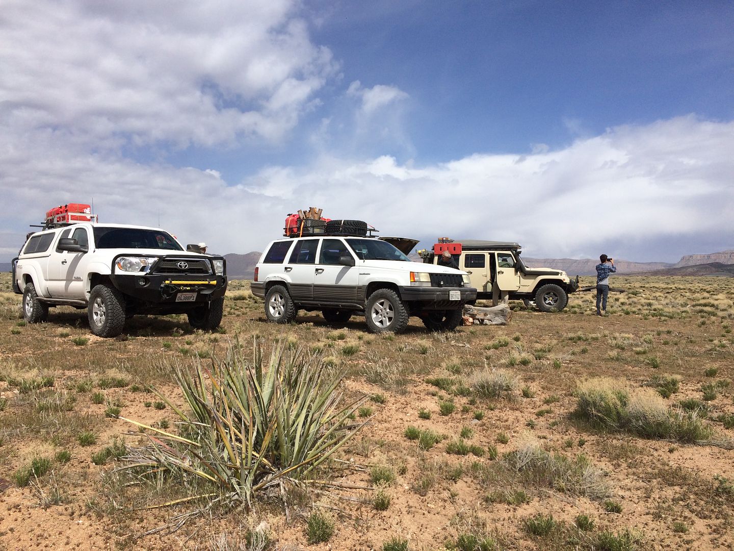
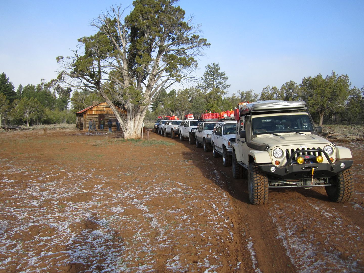
When we hit dirt there was one last stop to air down, dis-connect those sway bars and of course take some pictures of our official start.
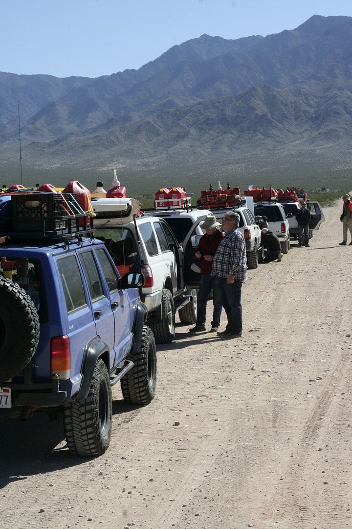
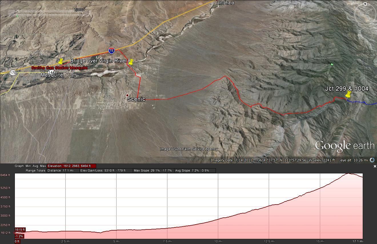
It was 10 am when we left Mesquite and the pavement for our first leg up over the Virgin Mountains using the Elbow Canyon route. Elbow Canyon can be seen in the above picture at the top of the antenna on the Blue XJ.
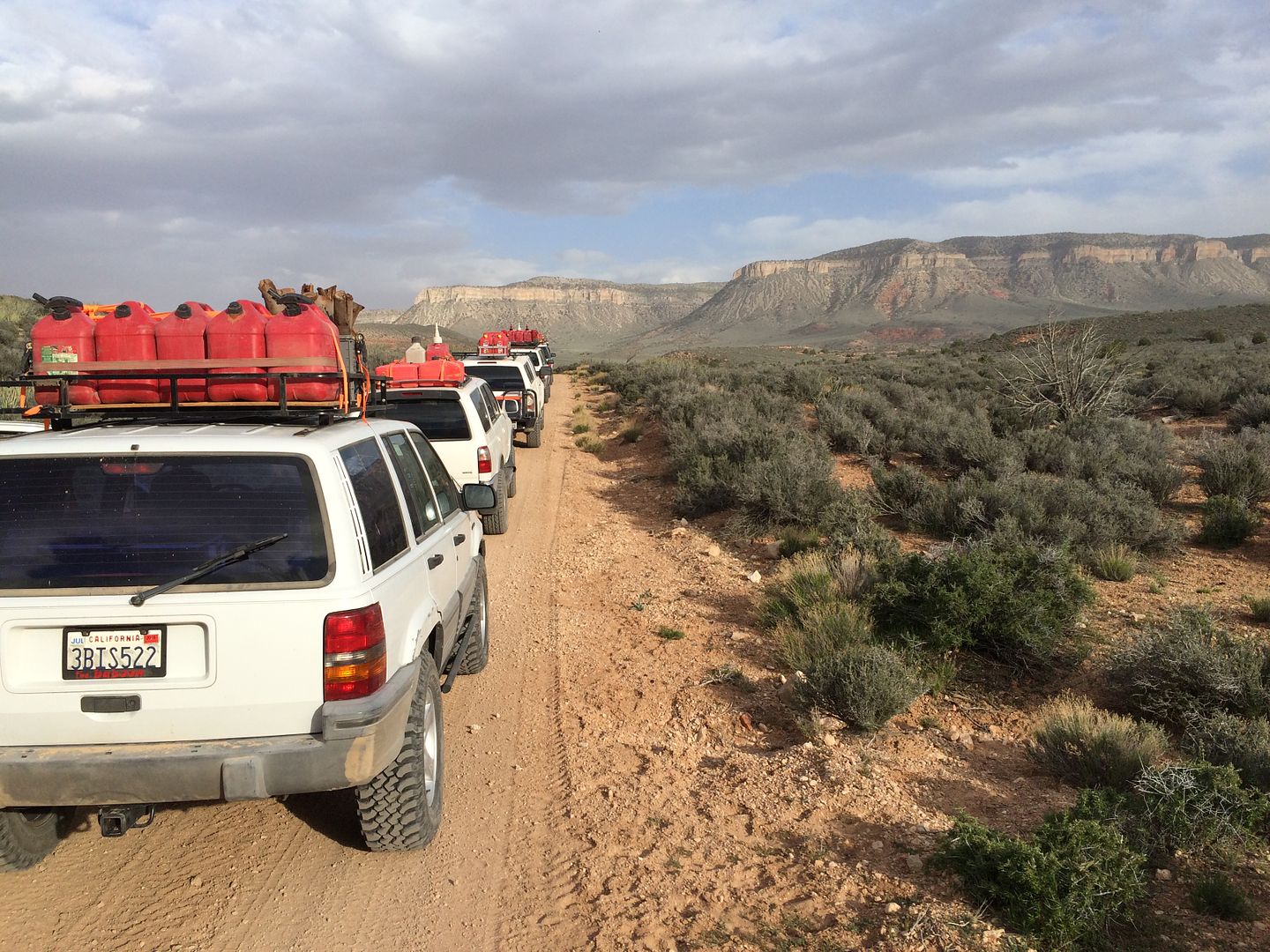
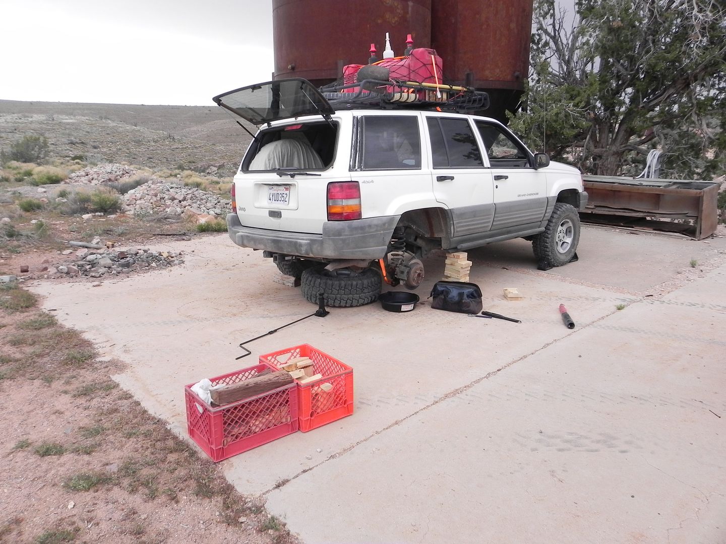
In prior trip meetings and emails I had admonished the group to experiment with their extra gas cans, filling them, testing their seals and seeing how they handle being bumped around on their roof and places they stored them. Although they all said they had, it wasn’t long on the trail before I heard over the radio that some of their cans were leaking and more than a couple of stops had to be made redistributing gas cans and even emptying one into several vehicles because it had cracked and couldn’t be used.
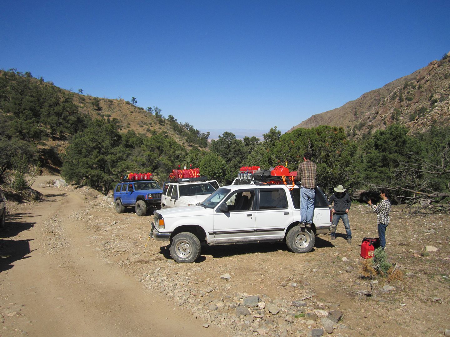
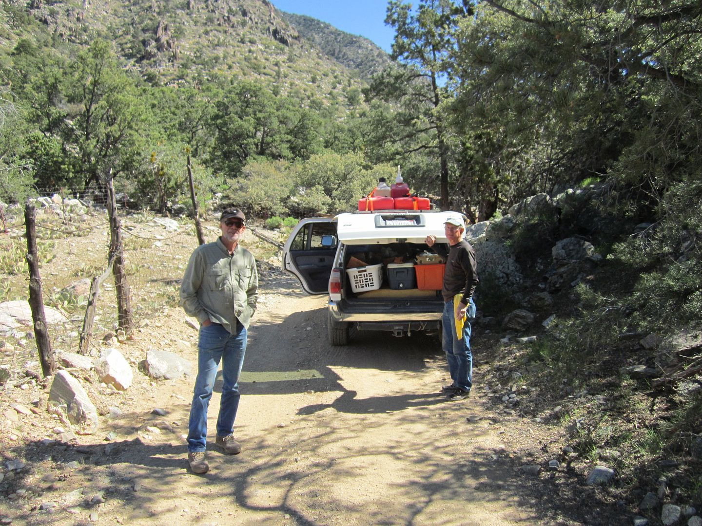
As we crested the top of the pass one of the vehicle’s engine died and a “check engine” light appeared. Fortunately, it ending up just being a sensor misreading and we were moving again in shortly.
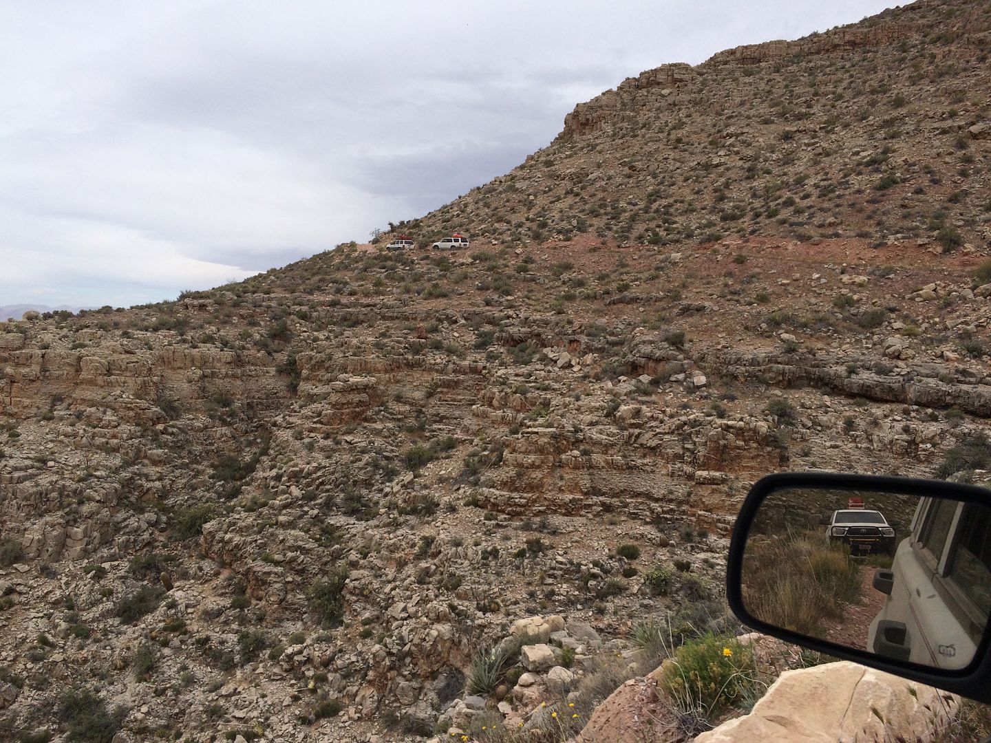
Radio etiquette and a formal way of communicating road junctions and turns is essential. At times the rear vehicle could be over a mile behind me and each vehicle needed to know where to turn without the whole group stopping. We had practiced a method at our meeting but since most of the drivers were using low watt handheld units the communication between cars was sometimes poor. After a few days we worked out the bugs and communication improved and so did our mpd (miles per day).
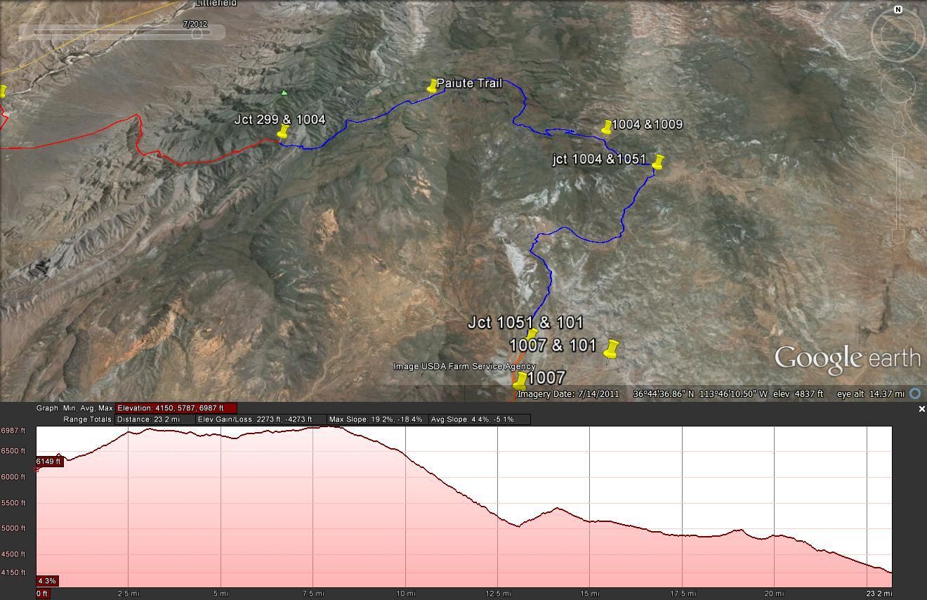
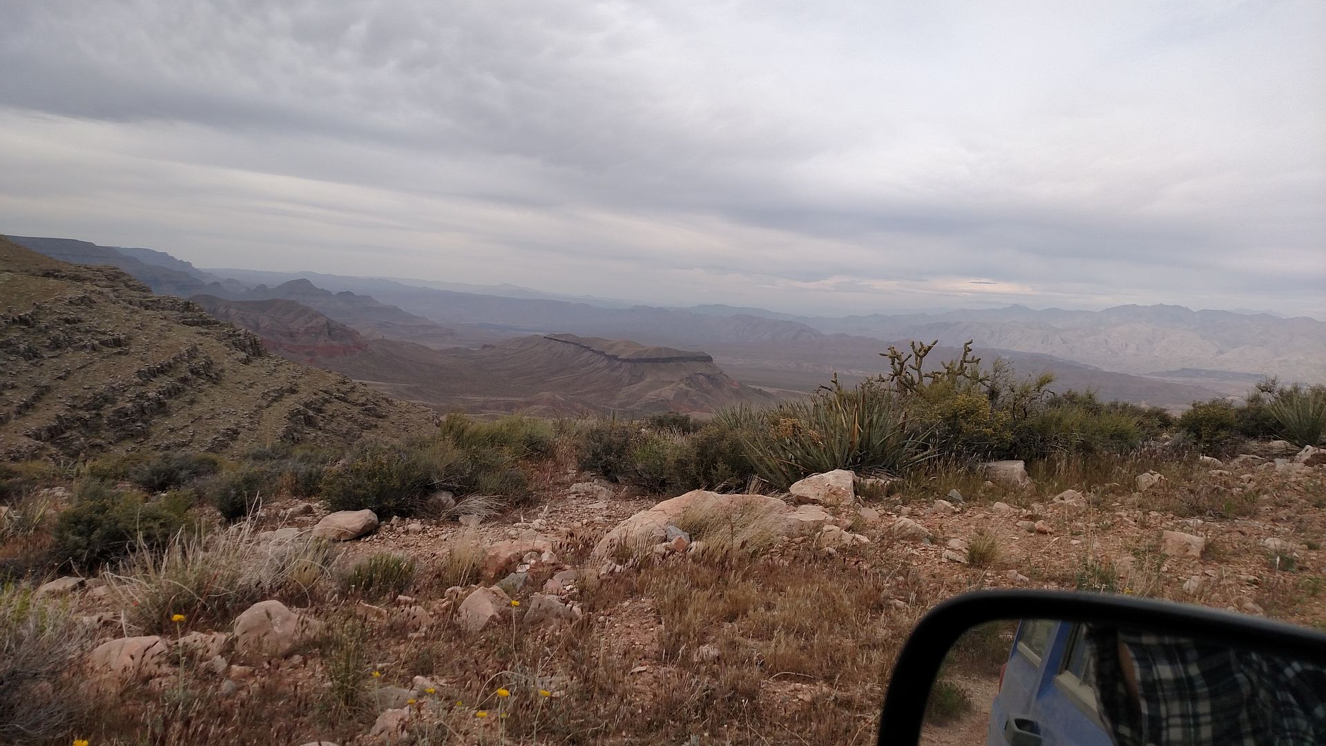
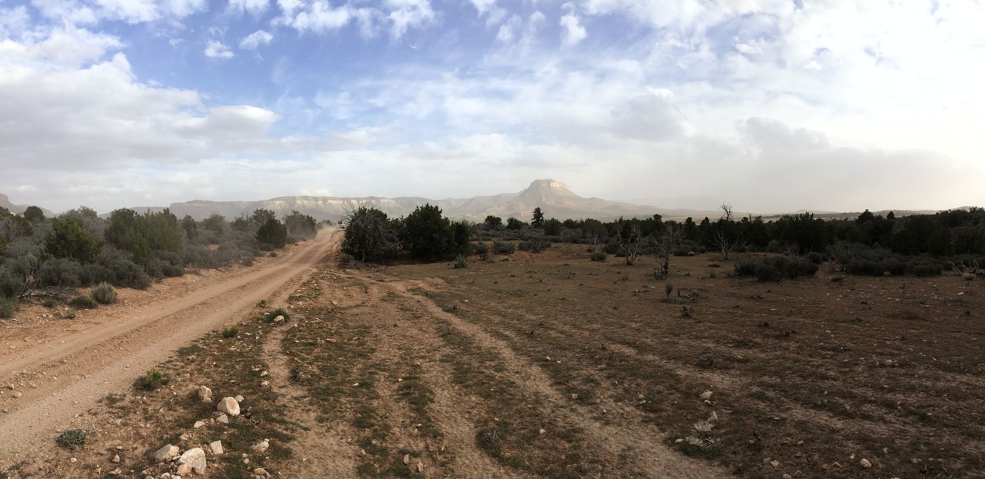
As we descended the back side of the Virgin Mountains we entered the rolling hills of the Pakoon Plateau. This area reminds me a bit of Montana, rolling grass covered hills with no trees to be seen.
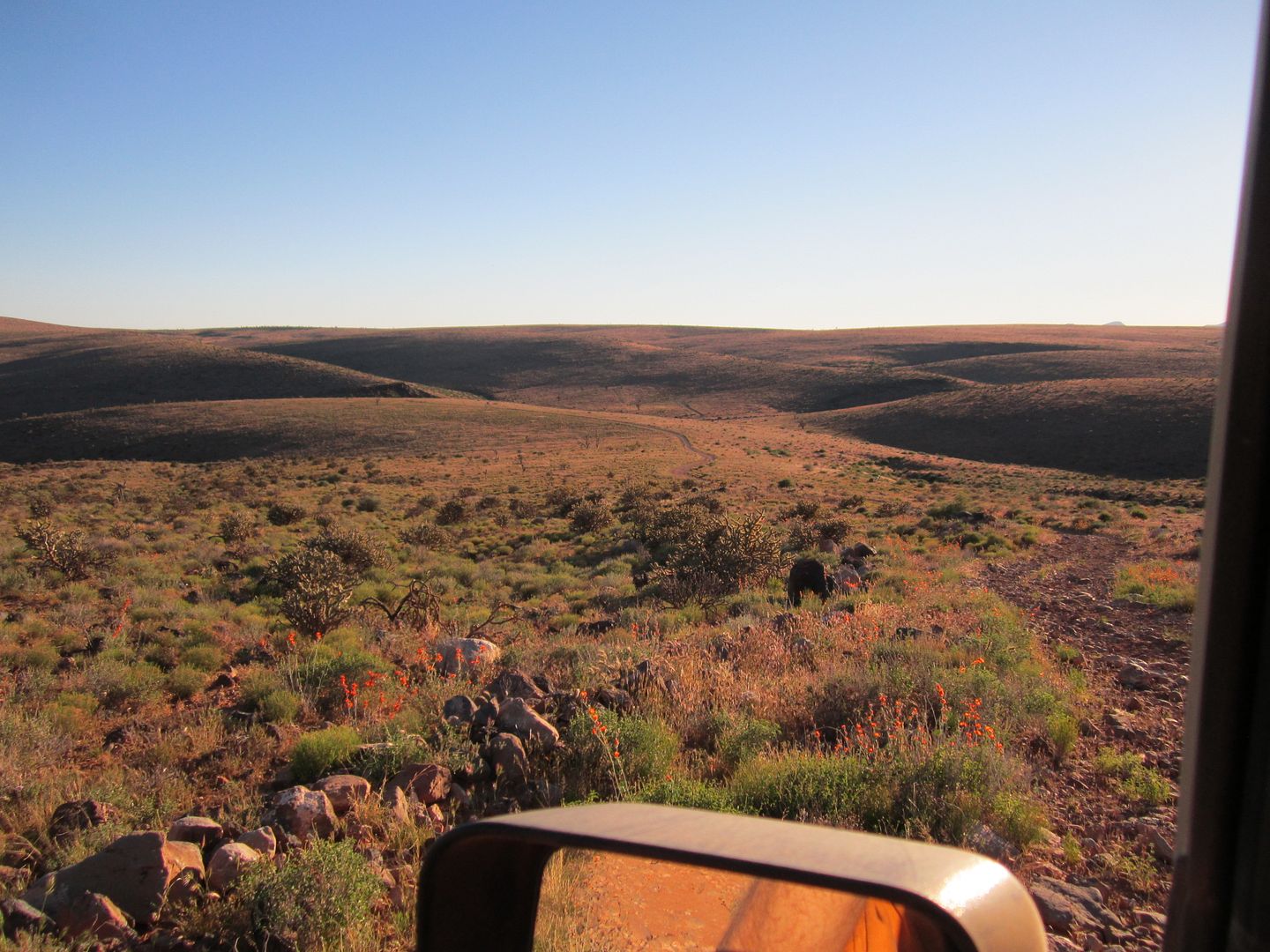
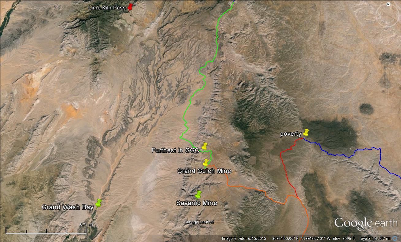
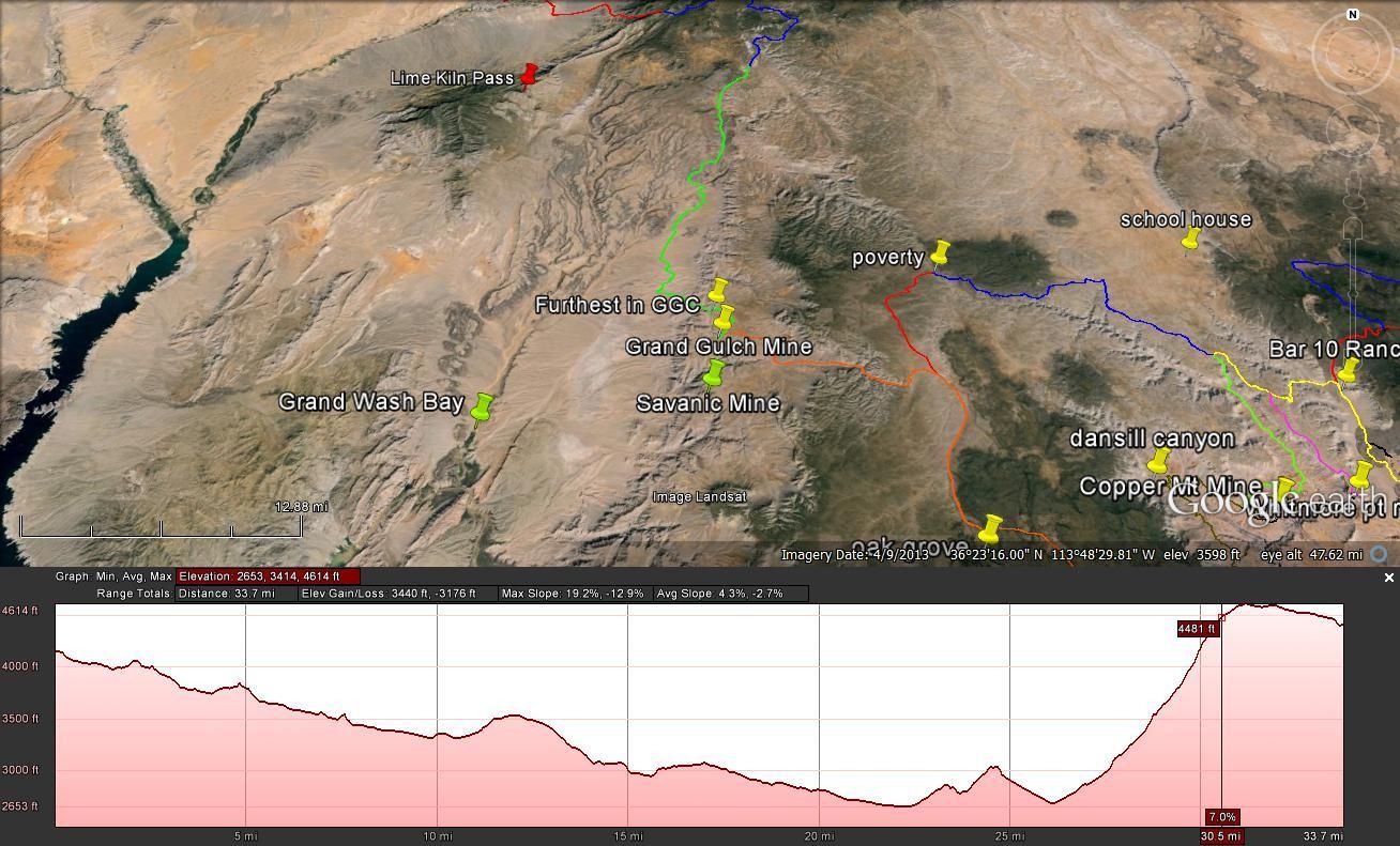
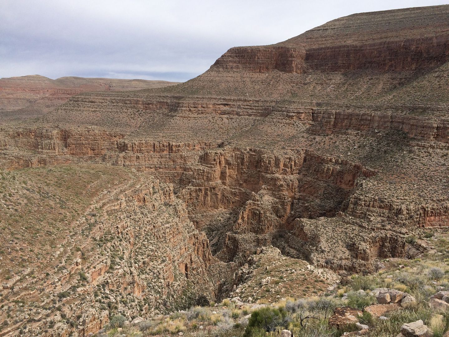
We were making our way to the Grand Gulch Canyon using the “Route less traveled” right along the western edge of the Grand Wash Wilderness.
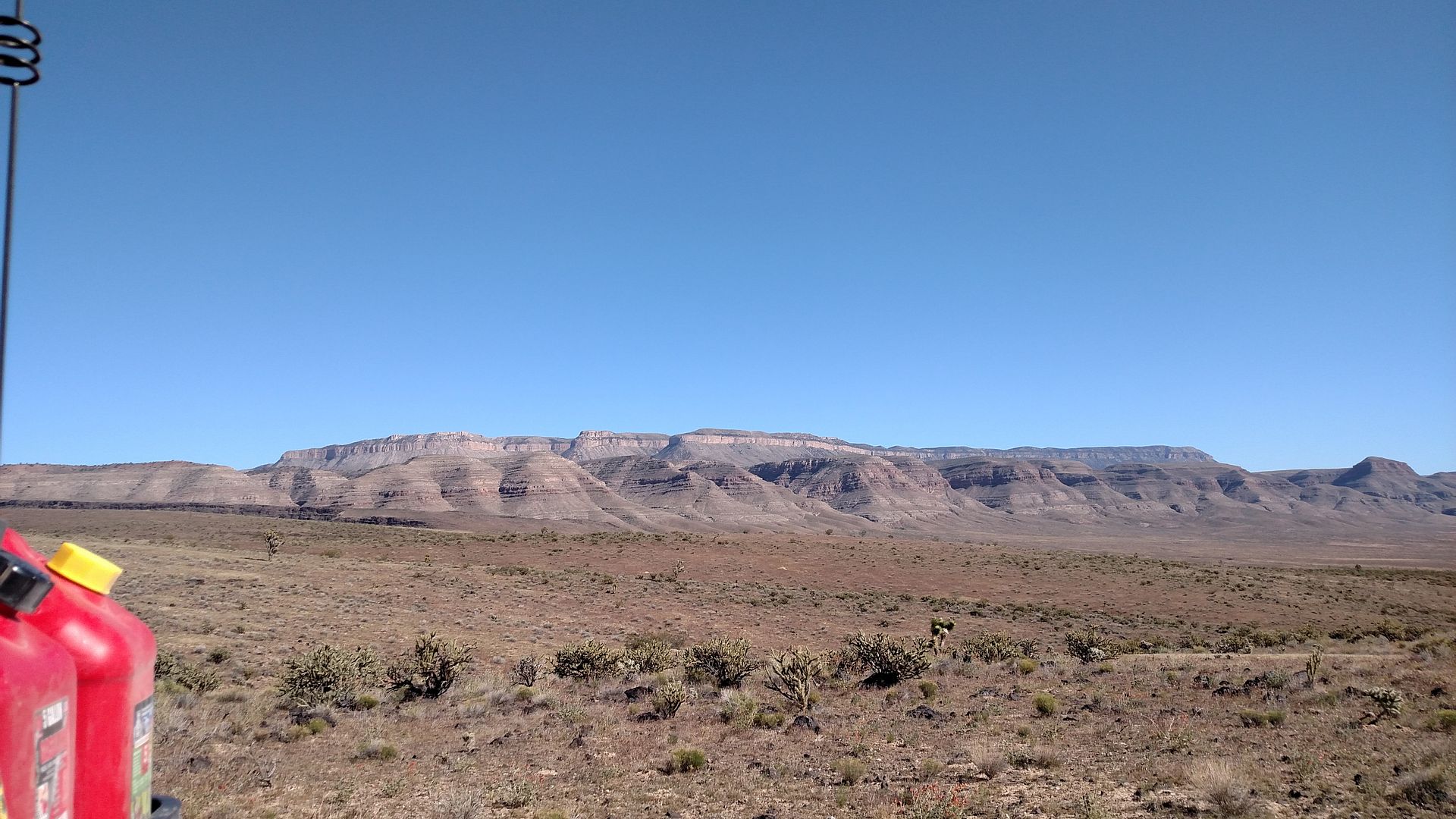

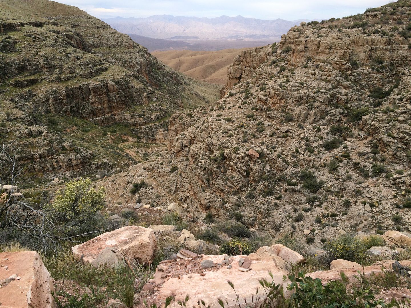
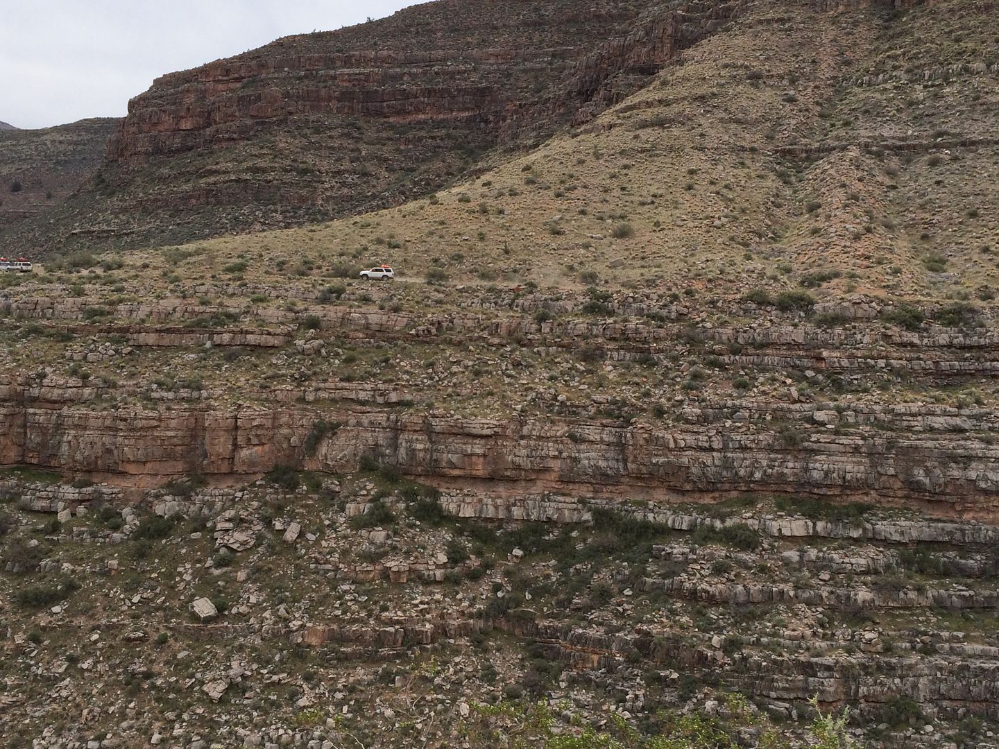
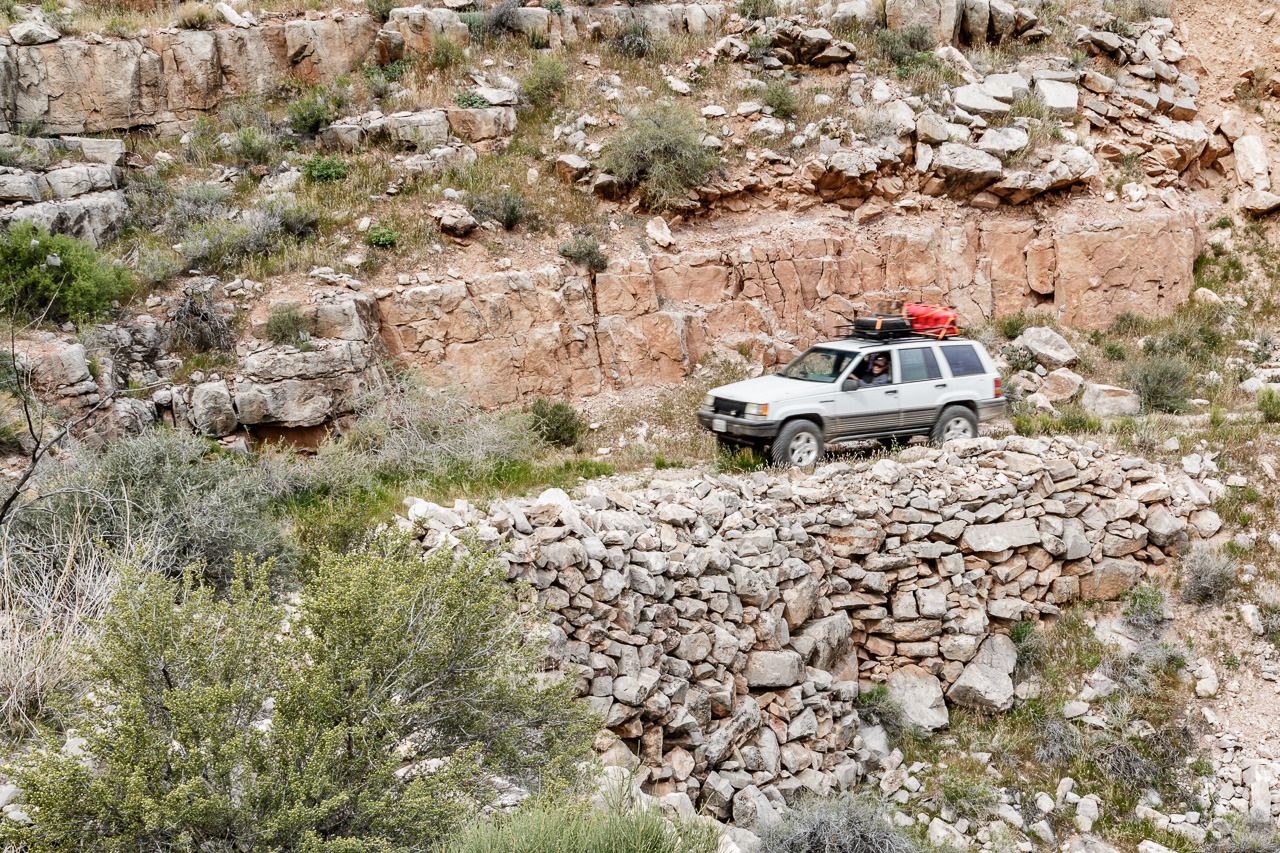
Most of the trails were two track, being closer to the Grand Wash Cliffs we would wander in and out of ravines making our way to the mouth of the Grand Gulch Canyon.
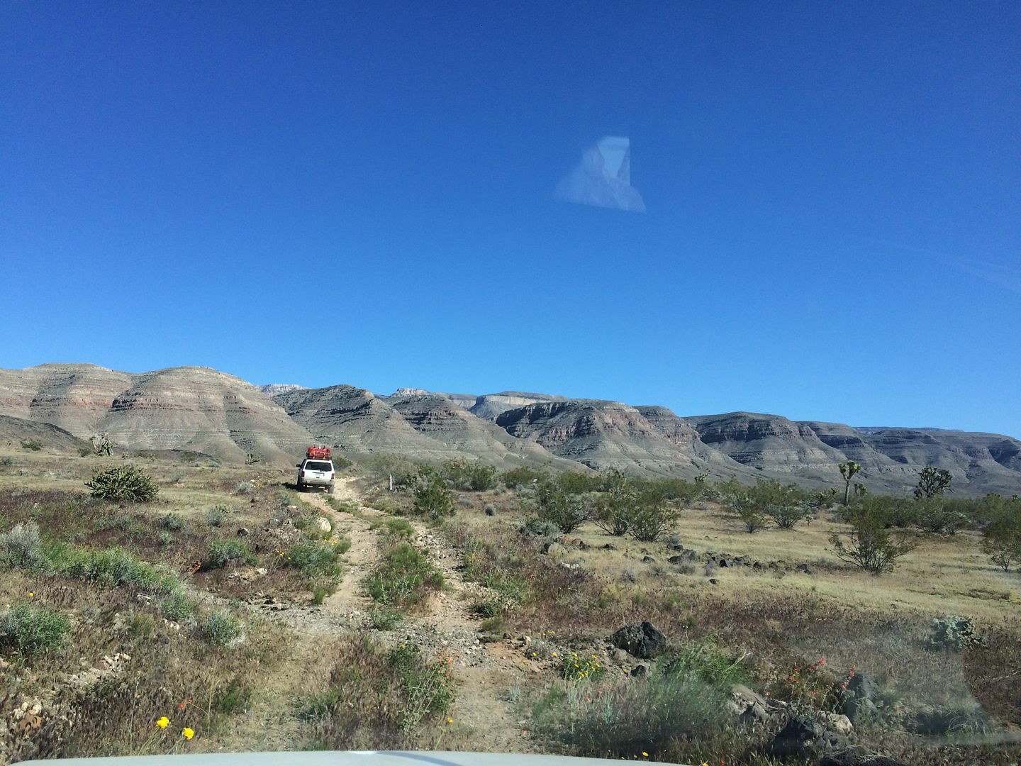
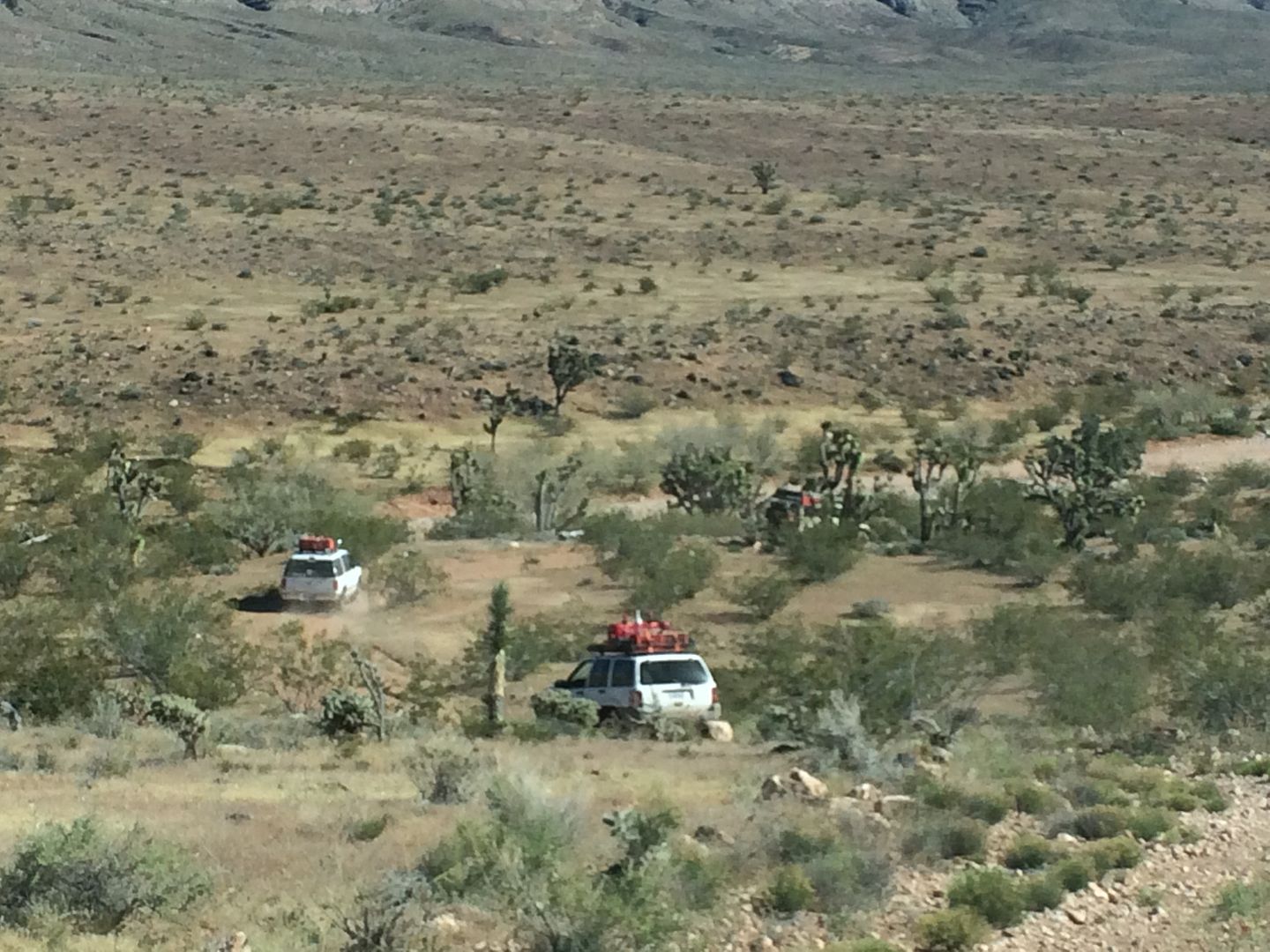
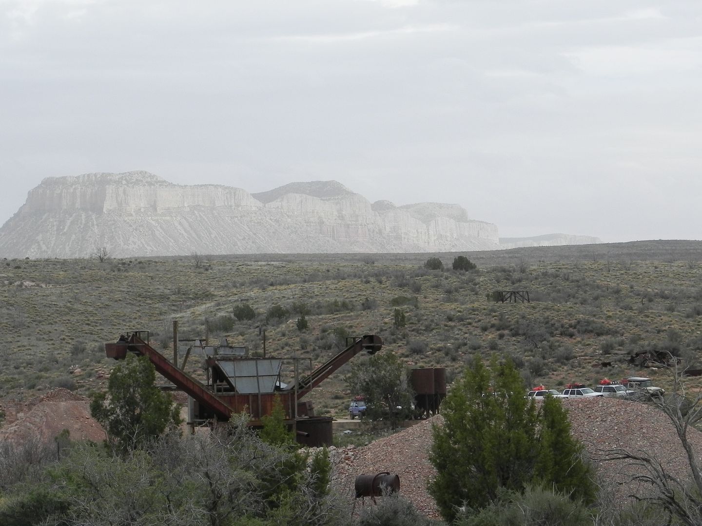
We found a fairly level area near the entrance of the canyon where road 1050 and 1638 merge.
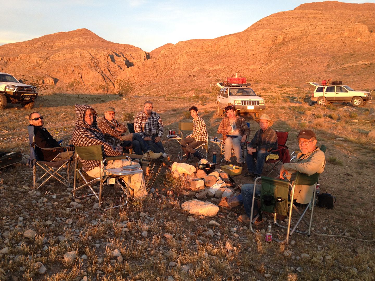
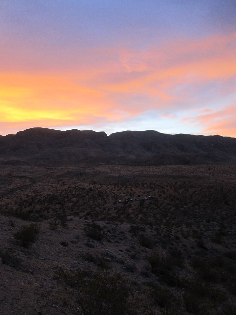
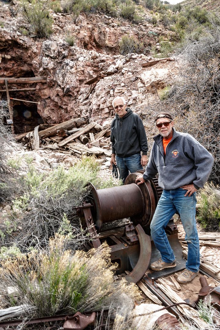
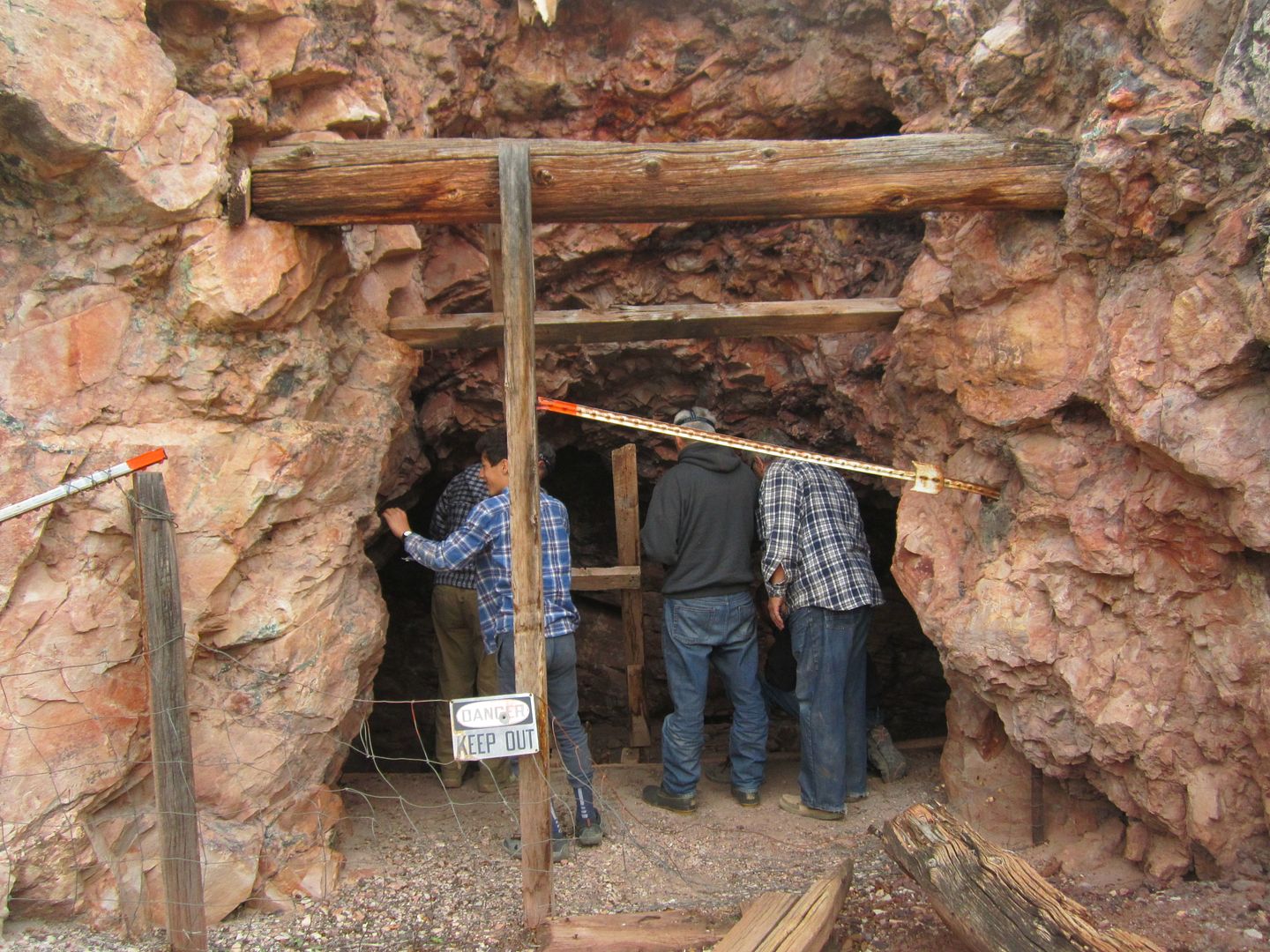
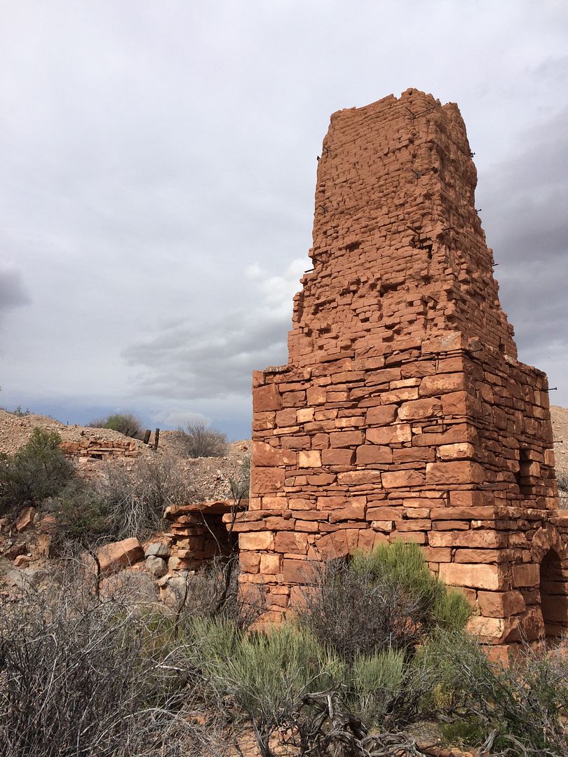
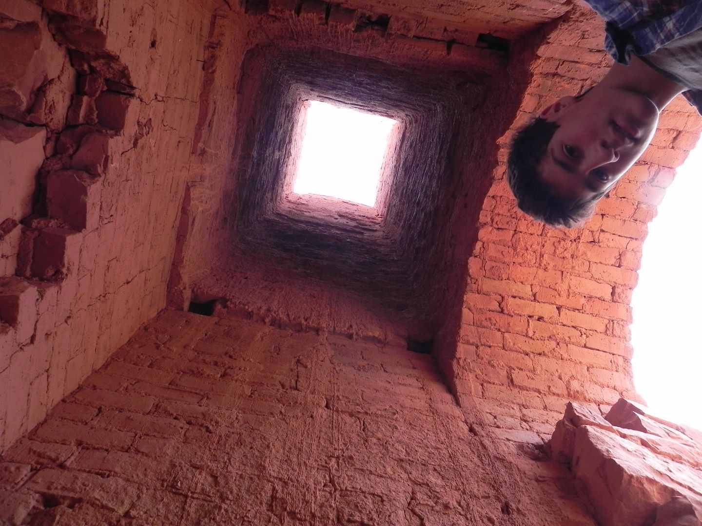
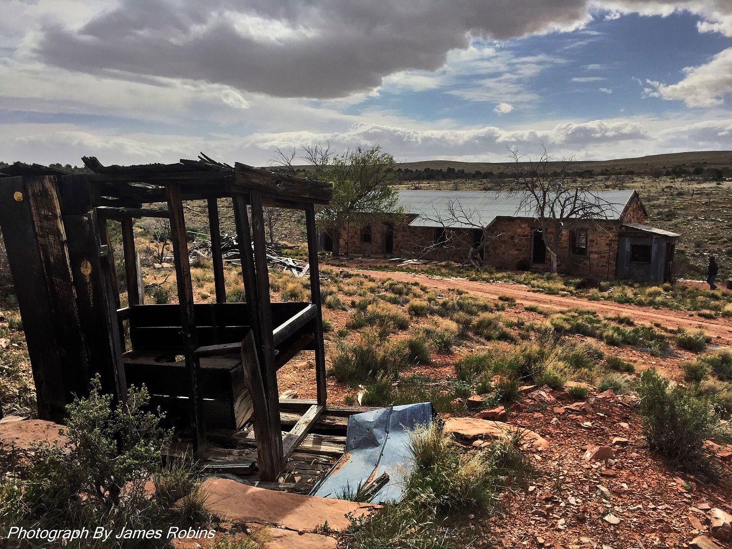
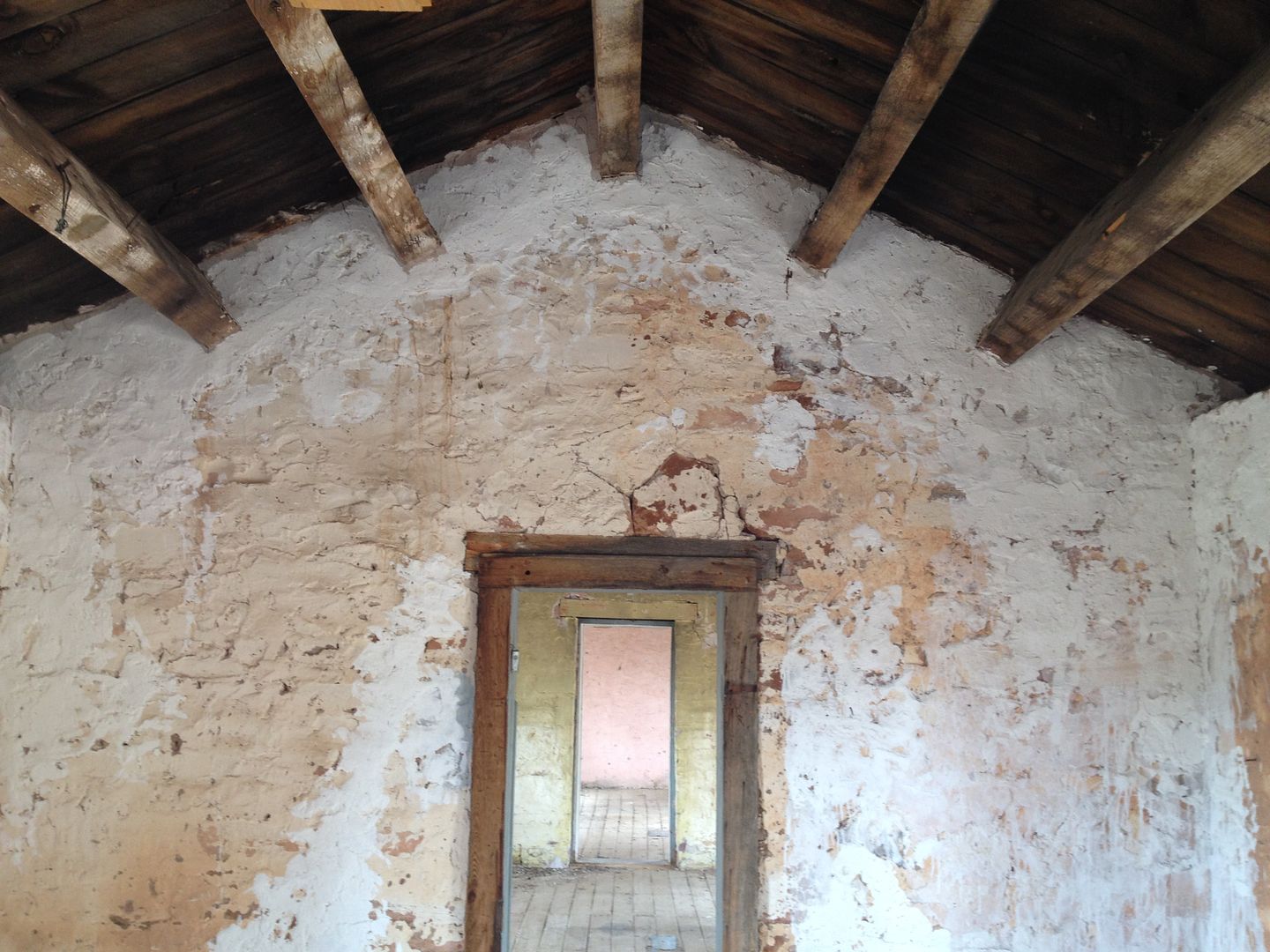
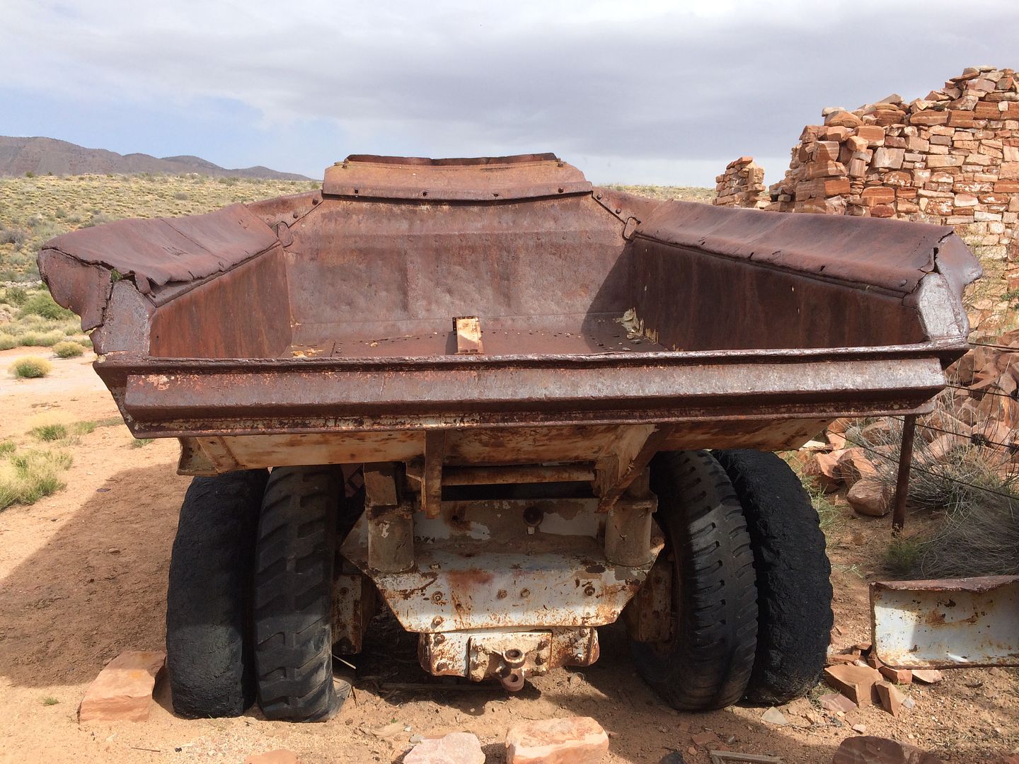
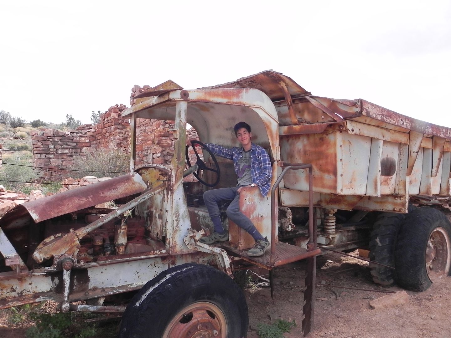
We arrived at 4:30 which gave us just enough time to explore around before sunset. Loads of old rusted metal cans were around. One would wonder who left them behind; were there once some building here at the mouth of the canyon that services workers of the mine?
So far, so good, we only lost one 5 gallon gas can, dealt with a “check engine light” no one got lost and spirits were good. I’ll call that a good first day on the trail, 6 ½ hours dirt driving and 69 miles.

Thanks,
Fred
Explorer 1
So here goes, I'll cut and paste the first 3 days here from the other Thread. If you want to read a little about the preparation here is the link to that Thread.
http://www.expeditionportal.com/forum/threads/154601-Arizona-Strip-2016
Thanks.
Day 1 & 2 Whittier Ca to Grand Gulch Canyon mouth
Arizona Strip 2016
Day 1 & 2
Whittier, Ca to Mesquite NV. to Grand Gulch Canyon mouth:
5 vehicles heavily loaded with all the gear, supplies, including food and water for 9 days left Whittier at noon Friday March 25th. Our plan on leaving Friday instead of Saturday was to get a head start for the trailhead near Mesquite NV. We rendezvous with two other vehicles in Victorville and arrived at Valley of Fire State park in the late afternoon.

Unfortunately, this is prime camping time for this park and all campsites were already taken. We ended up traveling off pavement a mile or so just outside the park and as it started getting dark we made camp. Pleasant evening around a small campfire and next morning we were all up early and on our way to Mesquite NV.
This was my third time in the remote Arizona Strip. Two of our group had traveled with me the first time, for the rest it was their first. Our “team” consisted of guys that had already demonstrated their love for the outdoors and a desire to push the “exploring” envelope a little bit further. All had some off roading experience and vehicles that could handle trail “situations” more or less. It was that “less” word that came to bite me later on the trip.
When we arrive in Mesquite the primary mission was to fill out gas tanks to the brim and then proceed to fill all the extra gas cans we had brought. I packed a little over 30 gallons of extra gas along with my main tank of 22 gallons for a total of 52 gallons. Just as I left the gas station some old fellow saw our vehicles and said I guess we were saving money on a cremation. (Nice thought to begin a trip with)
When we hit dirt there was one last stop to air down, dis-connect those sway bars and of course take some pictures of our official start.

It was 10 am when we left Mesquite and the pavement for our first leg up over the Virgin Mountains using the Elbow Canyon route. Elbow Canyon can be seen in the above picture at the top of the antenna on the Blue XJ.
In prior trip meetings and emails I had admonished the group to experiment with their extra gas cans, filling them, testing their seals and seeing how they handle being bumped around on their roof and places they stored them. Although they all said they had, it wasn’t long on the trail before I heard over the radio that some of their cans were leaking and more than a couple of stops had to be made redistributing gas cans and even emptying one into several vehicles because it had cracked and couldn’t be used.


As we crested the top of the pass one of the vehicle’s engine died and a “check engine” light appeared. Fortunately, it ending up just being a sensor misreading and we were moving again in shortly.
Radio etiquette and a formal way of communicating road junctions and turns is essential. At times the rear vehicle could be over a mile behind me and each vehicle needed to know where to turn without the whole group stopping. We had practiced a method at our meeting but since most of the drivers were using low watt handheld units the communication between cars was sometimes poor. After a few days we worked out the bugs and communication improved and so did our mpd (miles per day).
As we descended the back side of the Virgin Mountains we entered the rolling hills of the Pakoon Plateau. This area reminds me a bit of Montana, rolling grass covered hills with no trees to be seen.

We were making our way to the Grand Gulch Canyon using the “Route less traveled” right along the western edge of the Grand Wash Wilderness.


Most of the trails were two track, being closer to the Grand Wash Cliffs we would wander in and out of ravines making our way to the mouth of the Grand Gulch Canyon.


We found a fairly level area near the entrance of the canyon where road 1050 and 1638 merge.

We arrived at 4:30 which gave us just enough time to explore around before sunset. Loads of old rusted metal cans were around. One would wonder who left them behind; were there once some building here at the mouth of the canyon that services workers of the mine?
So far, so good, we only lost one 5 gallon gas can, dealt with a “check engine light” no one got lost and spirits were good. I’ll call that a good first day on the trail, 6 ½ hours dirt driving and 69 miles.

Thanks,
Fred
Explorer 1

