Day 5 - Toroweap and SB Point
Day 5 - Toroweap & SB Point.
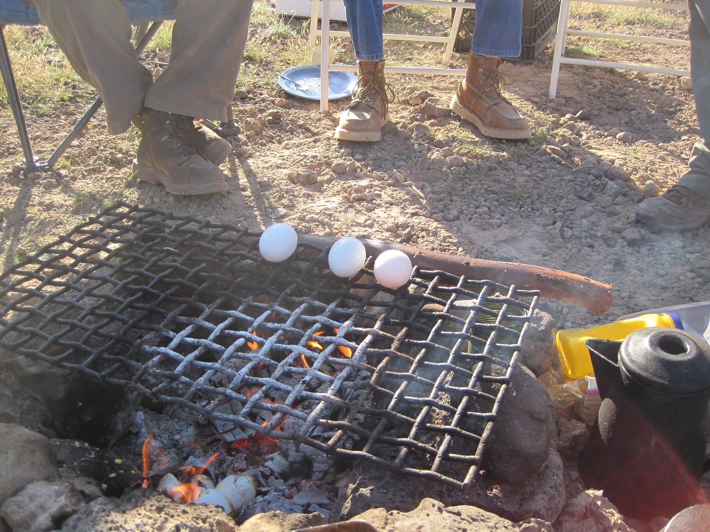
In the morning, Murrie tried a new way of preparing eggs.
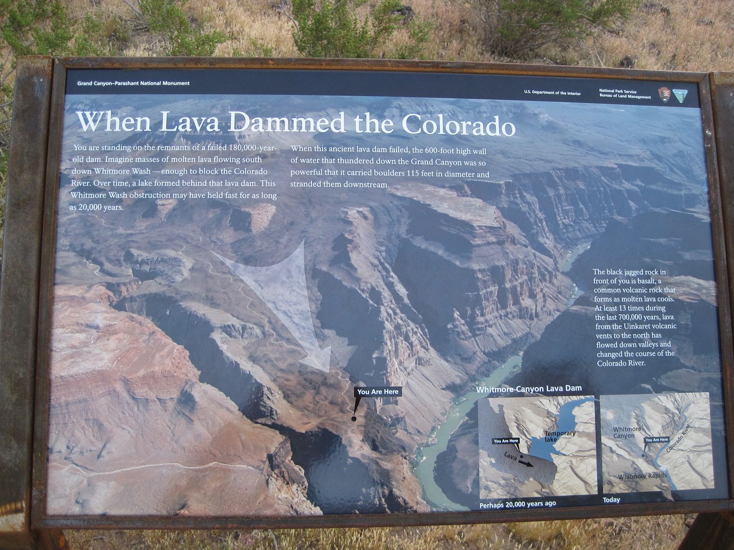
and we learned more about the large flow of lava that once dammed the might Colorado. It says it was a temporary dam of about 200,000 year.........some temporary!
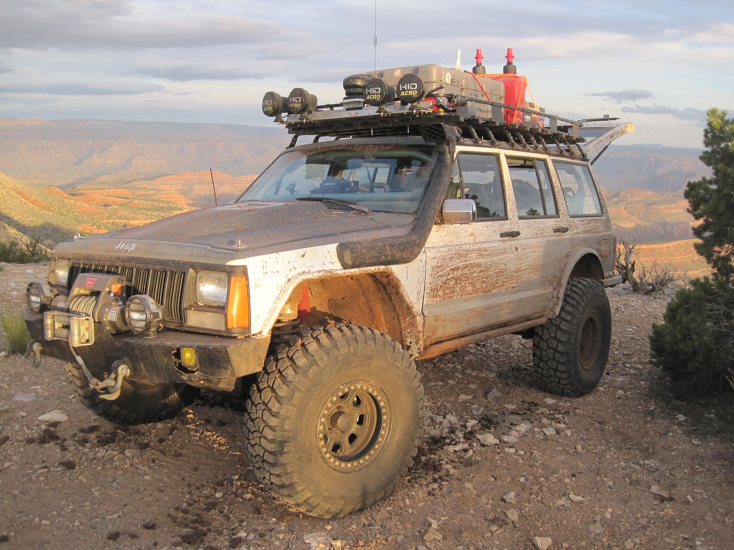
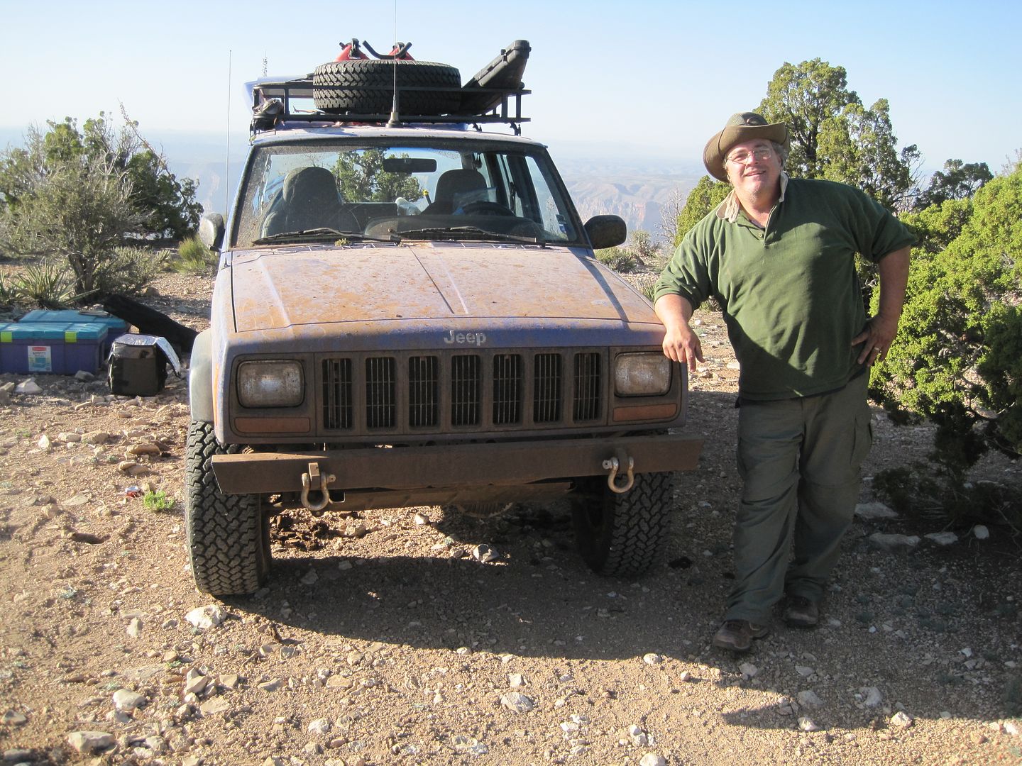
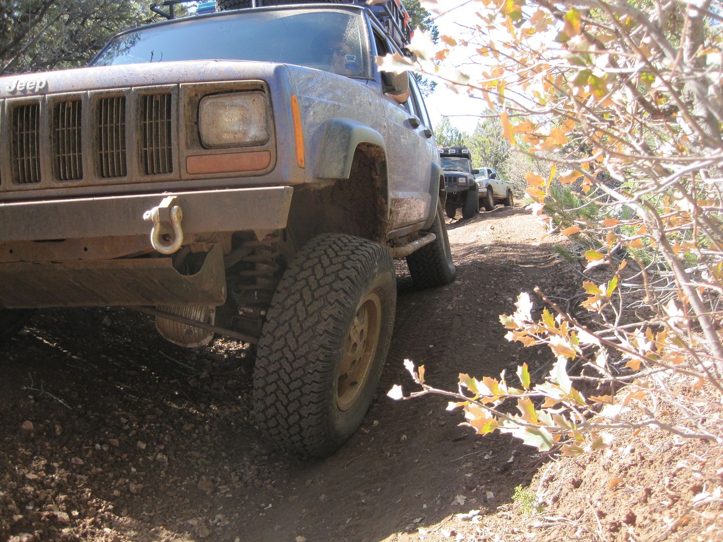
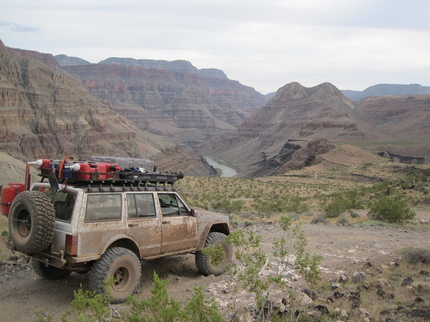
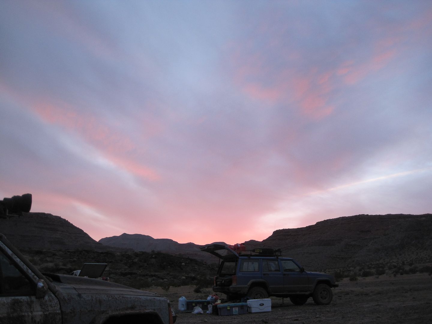
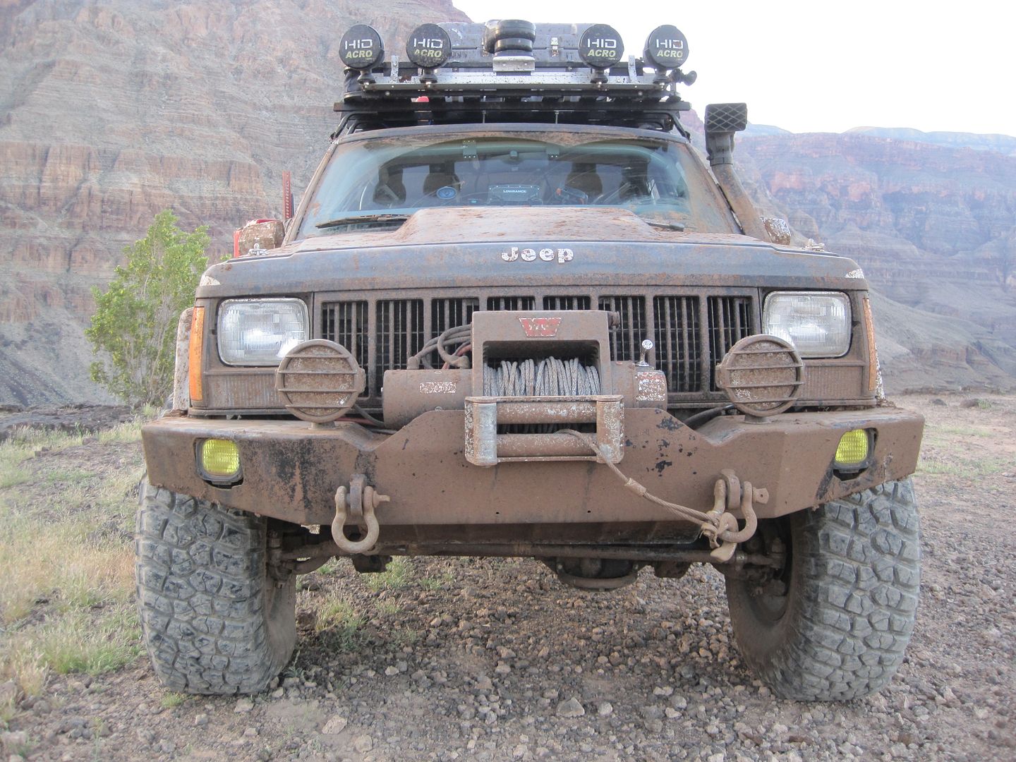
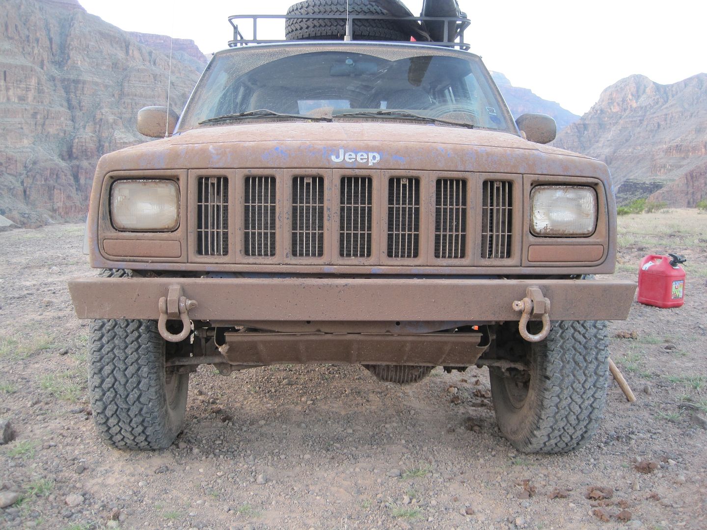
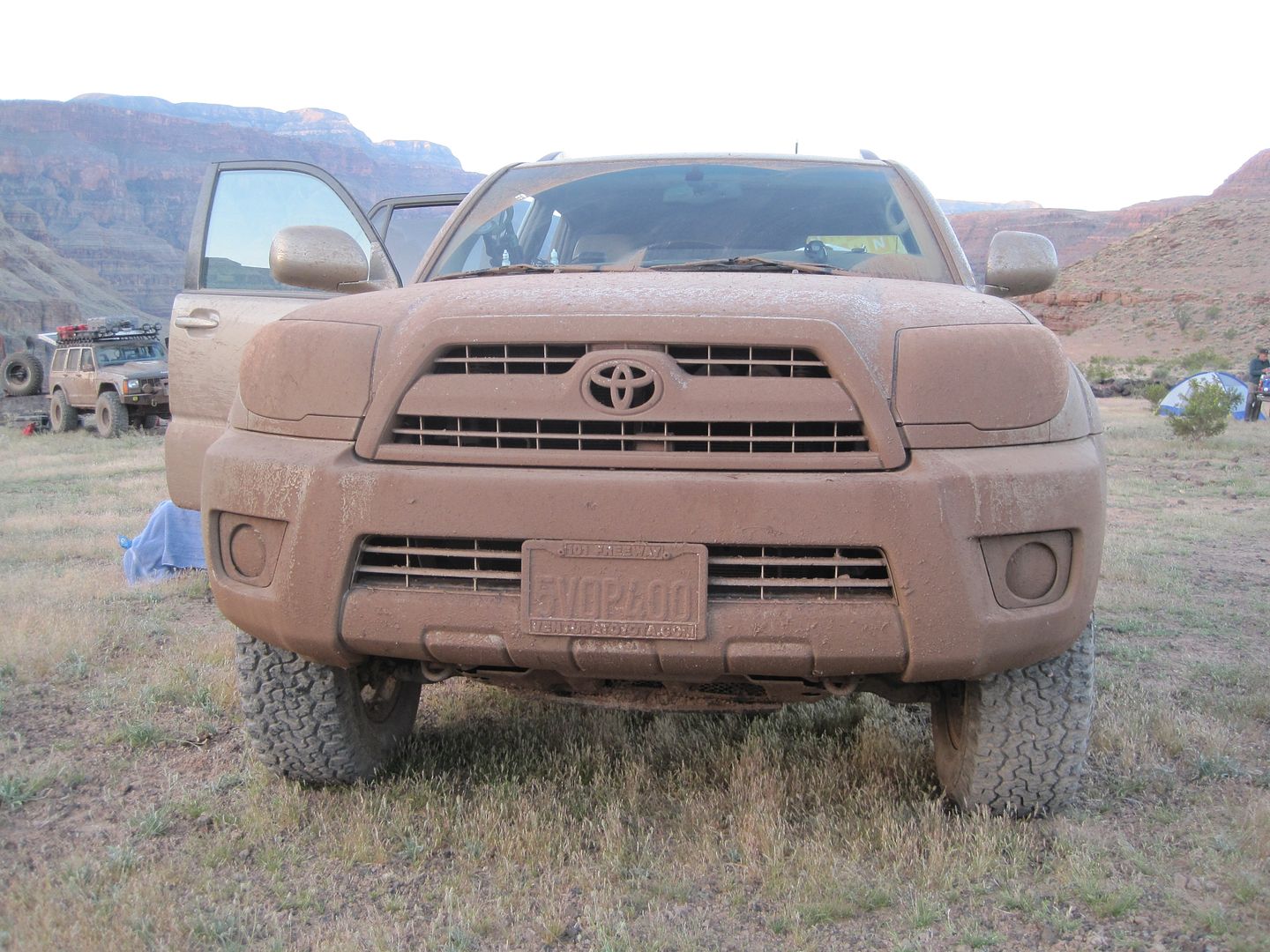
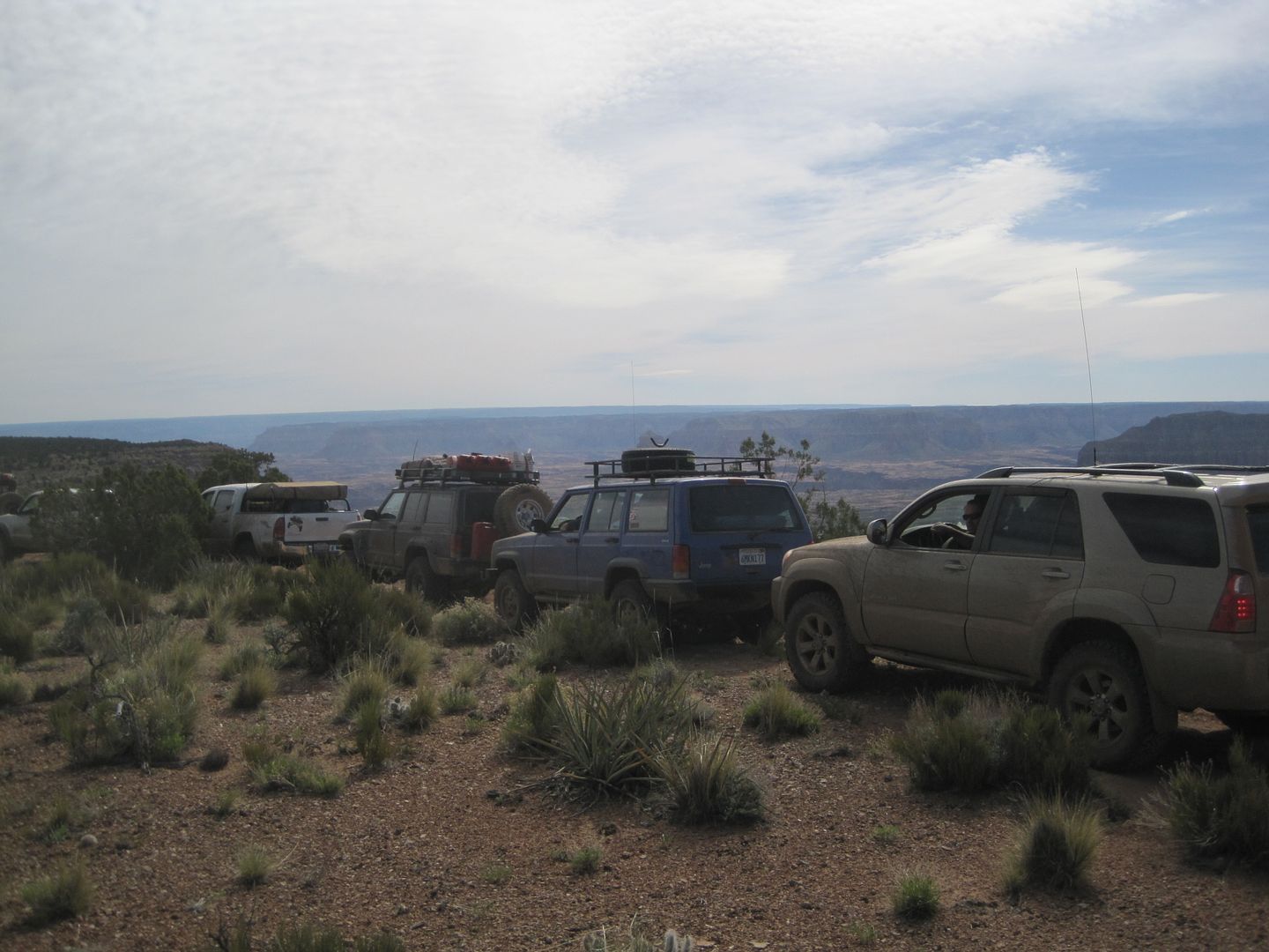
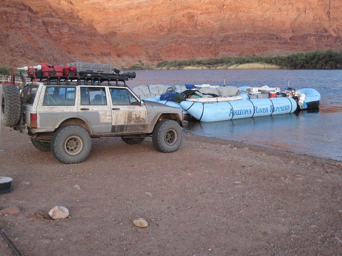
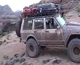
That morning I couldn't help take a few pictures of three happy cars:
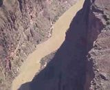
Had to include this movie of the Rapids and canyon:
We climbed back up the steep hill to the Bar 10 Ranch where they were so kind to sell use the much needed fuel we needed to have if we weren't going to cut our trip short. I bought and additional 17 gallons. Without their help we wouldn't have been able to visit the following three destinations.
While filling up there was something that the horses liked on his hood and they started licking it clean. It was quite a site, one of the other guys has a photo of this I'll have to get.
About 2 miles north of the ranch we departed from the maim road and steeply climbed along Hells Hollow canyon taking a break near the top as engines and trans were getting a bit hot.
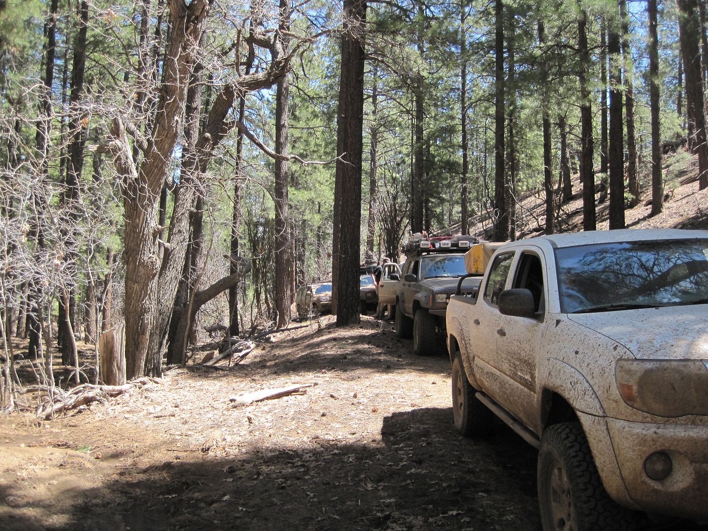
Approaching Mt Logan pine trees again filled our view. It was about this time my transmission started acting up. Seemed it couldn't figure out what gear it best liked and would shift all over the map. I eventually turned off the trans computer and went to a manual mode for the rest of the trip.
Driving through the thick forest one could forget hey were on the edge of a desert and mighty canyon.
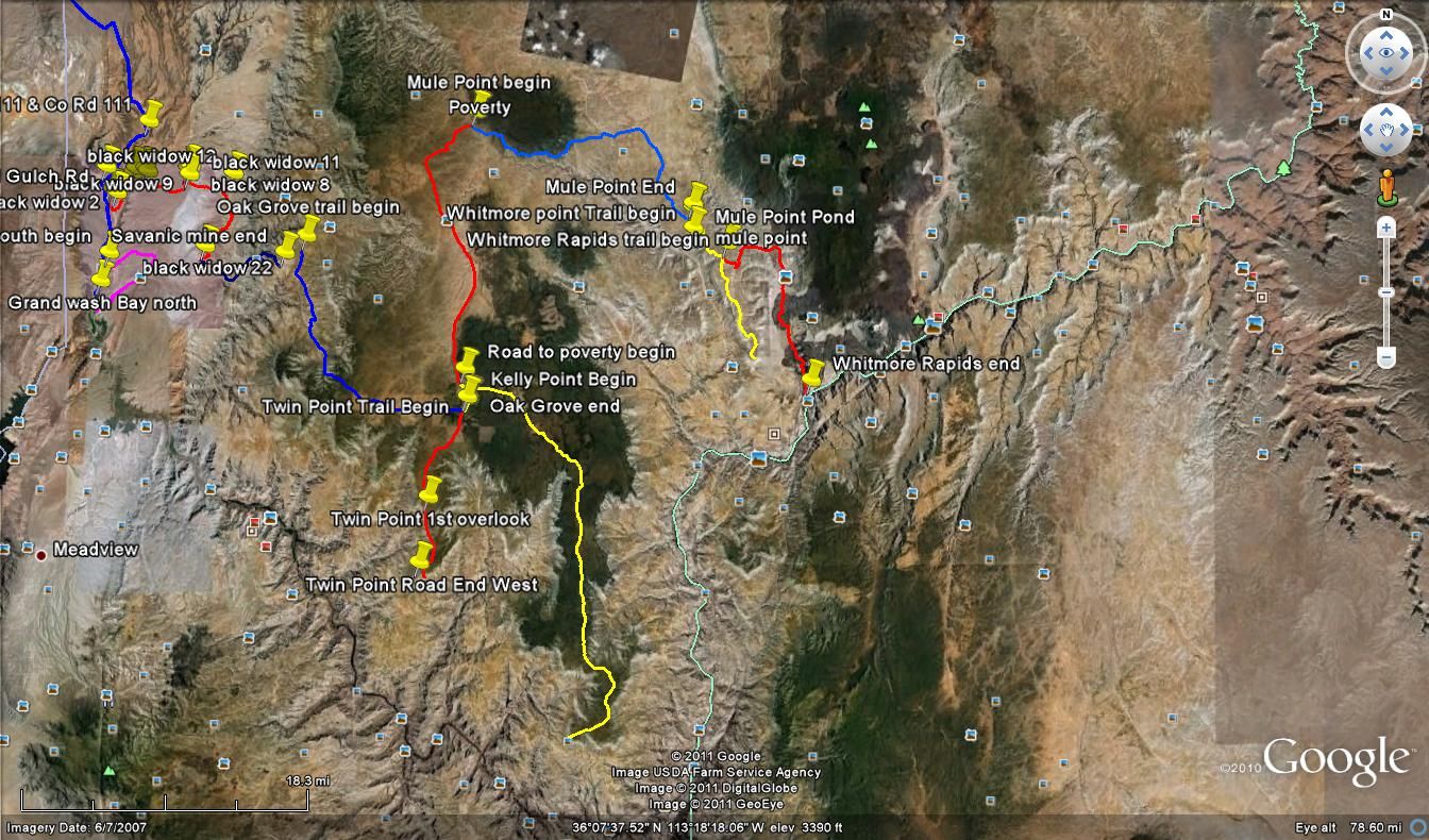
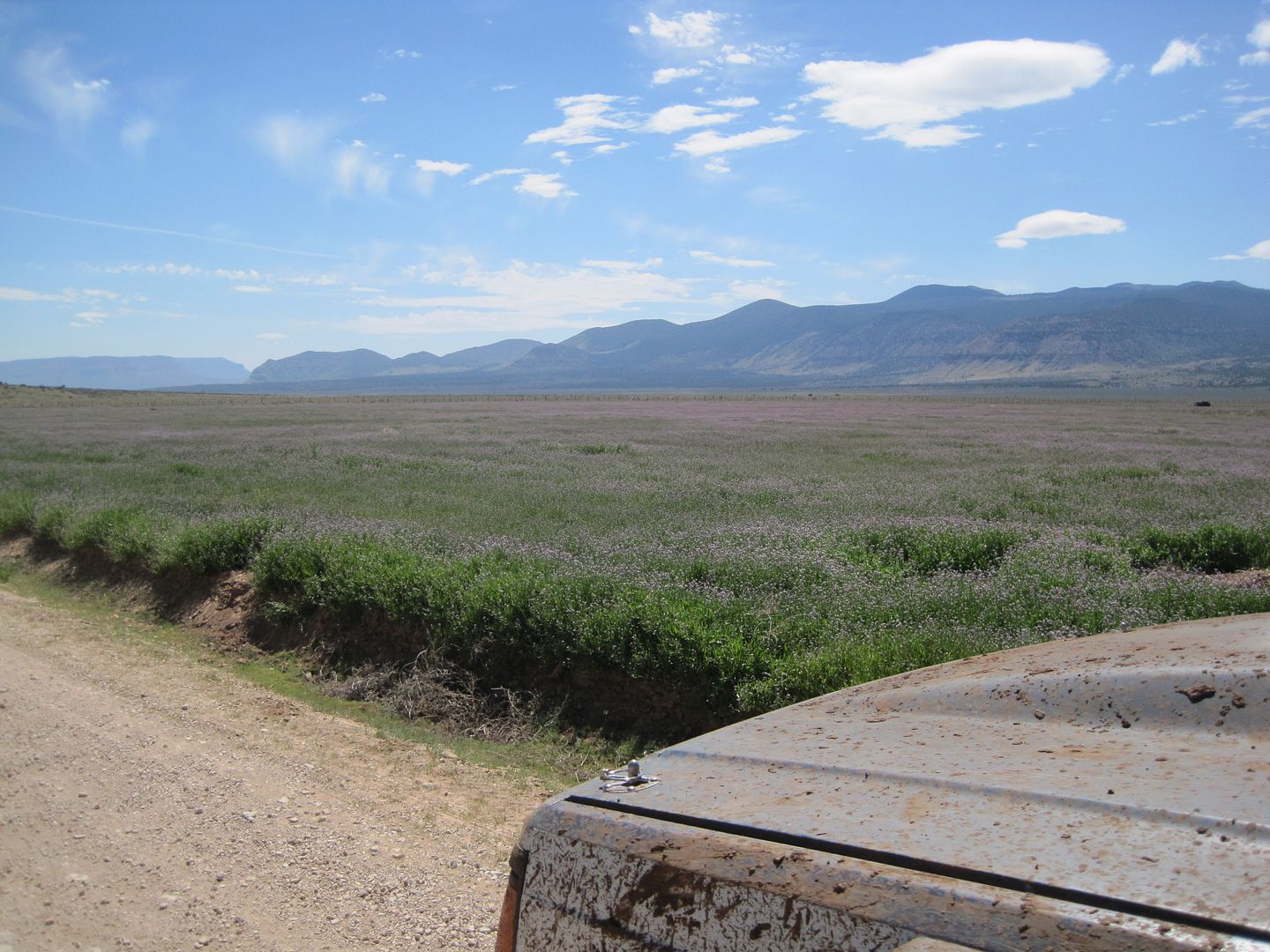
We had heard the route we wanted to take had a closed gate so we had pieced together a number of trails going around which took us by the Mt Logan overlook and Hells Hole. We stopped for lunch at the Mt Logan overlook and later found that while the map showed a trail out to the Hells Hole, no one had driven that trail in years and years so we continued our "go around" down to Potato valley and then south through some high open plains toward Toroweap.
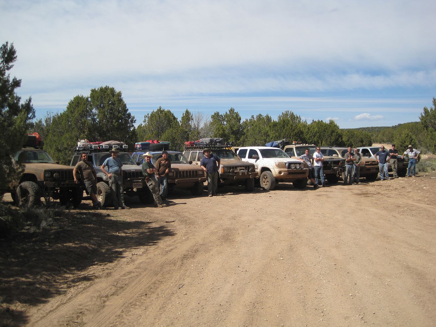
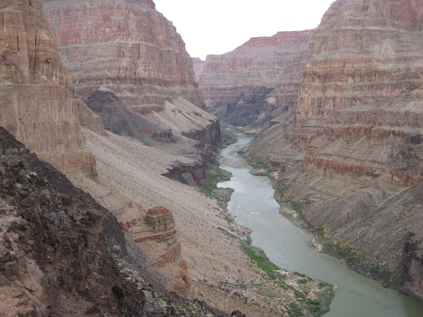
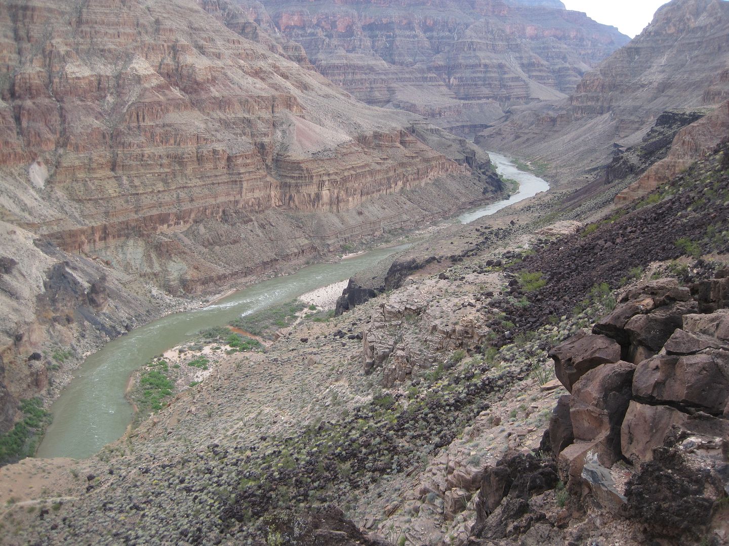
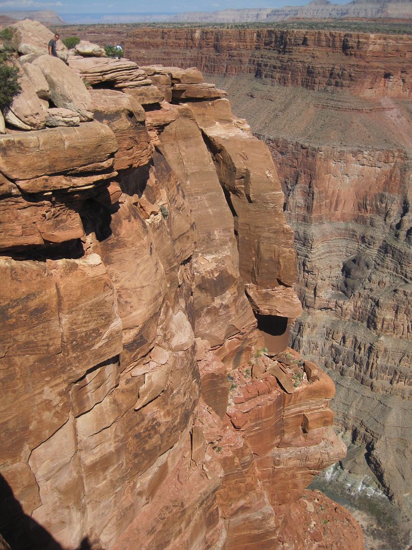
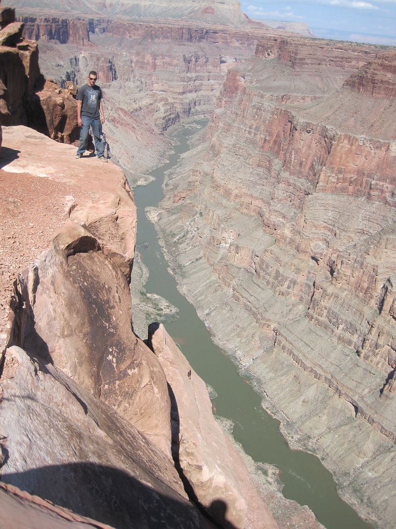
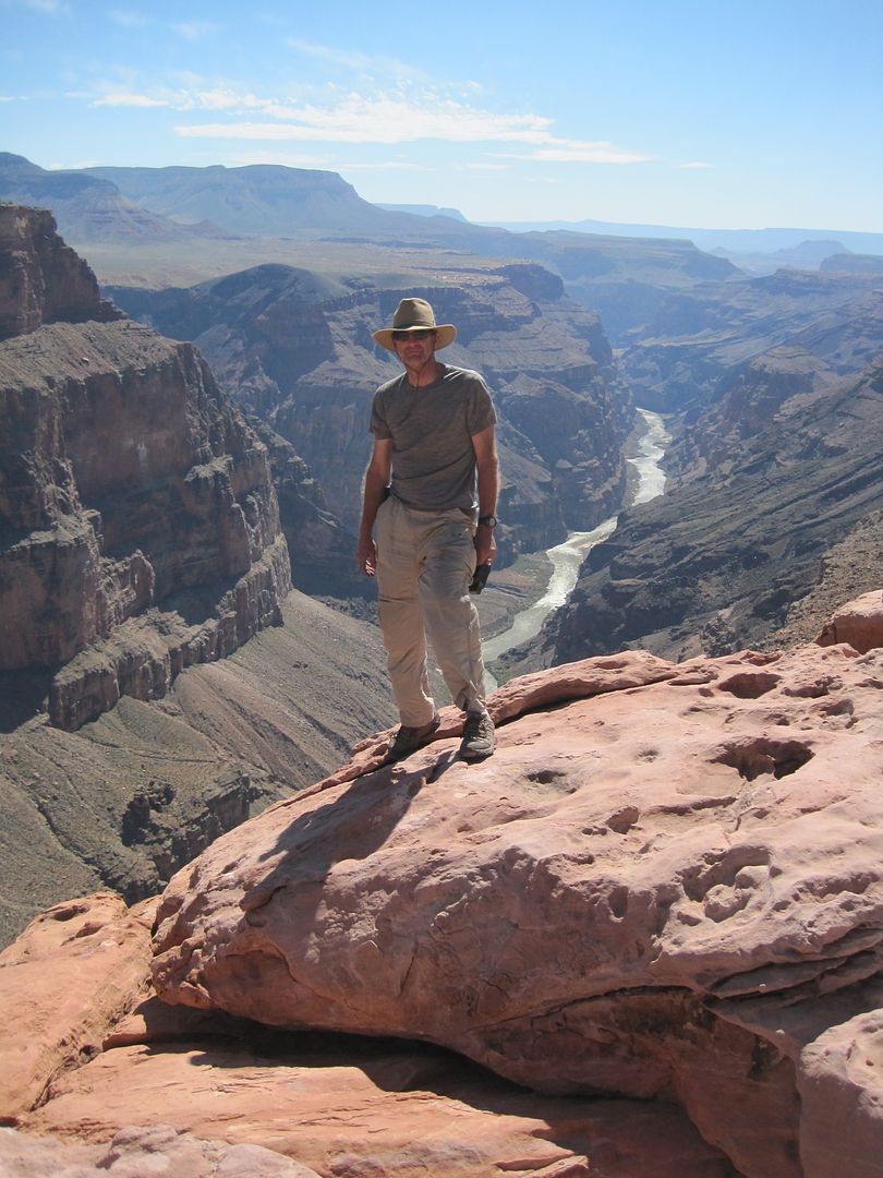
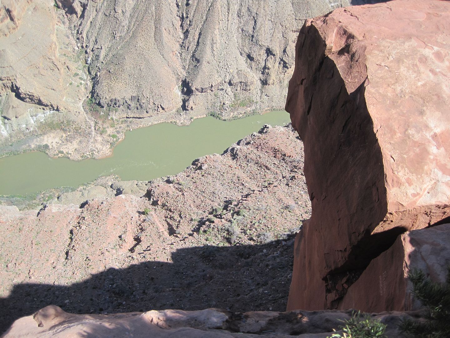
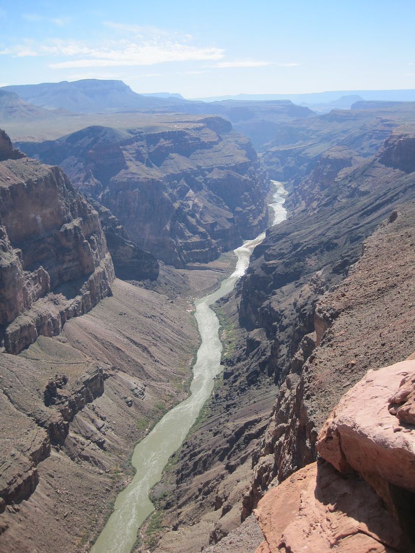
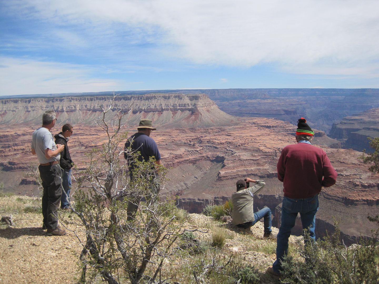
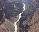
It was a long and fast dusty road into Toroweap. Once we got to the point and campground we found more people then we had seen the entire trip. Most of the campsites were taken so it became obvious that our group of 6 vehicles would have to fine someplace else to camp. We spent some time enjoying the views and steep cliffs dropping thousands of feet to the river.
Look close at this photo to get some idea of scale, there are two people in it!
It's a long ways down to the first bump!
Here is a movie giving a bit more perspective:
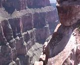
Here is a movie of Lava Falls, according to the raft Guide I spoke with at Lees Ferry, there are some 10' waves in there!
After we spent some time exploring we were off retracing our path to where we departed the main Toroweap road for SB Point.
Our plan was to find some place on BLM land we could camp for the night and then get an early start for SB arriving early for once for a leisurely afternoon and evening.
When making the route we planned on following I used Google Earth. I decided to try and avoid the main route to SB and Kanab which ran way north of our position. I knew we were in trouble when the route on my Lowrance came to a barb wire fence, no gate, and with no other option around.
Fortunately, Neil had two other GPS systems in his car and was able to call out to me the directions we could take to work around all the many obstacles we met that afternoon. It took a great deal of patience to work our way up one trail then another to finally blend back into our planned route. In the process we kept looking for some place to camp for the night without success.
When we finally got back on track the consensus of the group was to go for SB point, even in the dark.
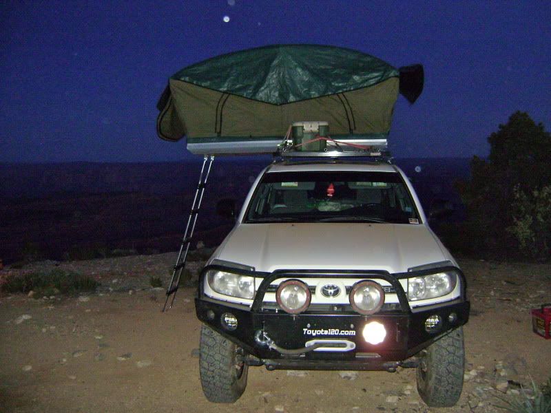
Traveling in a remote area with faint trails is only more challenging with the coming of night. Off came two of my HID covers from the roof rack. Two of the lights are pointed about 15' out and are floods. This work great for slow trail finding.
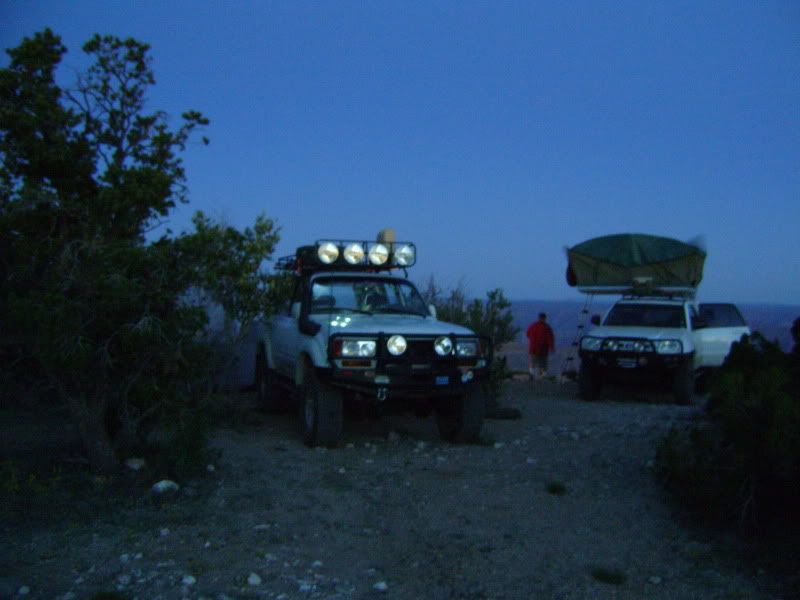
I arrived at the trails end which I had to assume was SB point well into the night. No moon had come up yet and only had radio contact with the group. I lit up my center spot light and pointed it in there direction, hoping to encourage them where the end of the trail was. Next I started a camp fire as I knew we still needed to prepare dinner. We were all a bit tired and stressed out from all the driving in the dark and after dinner we hit the sack.
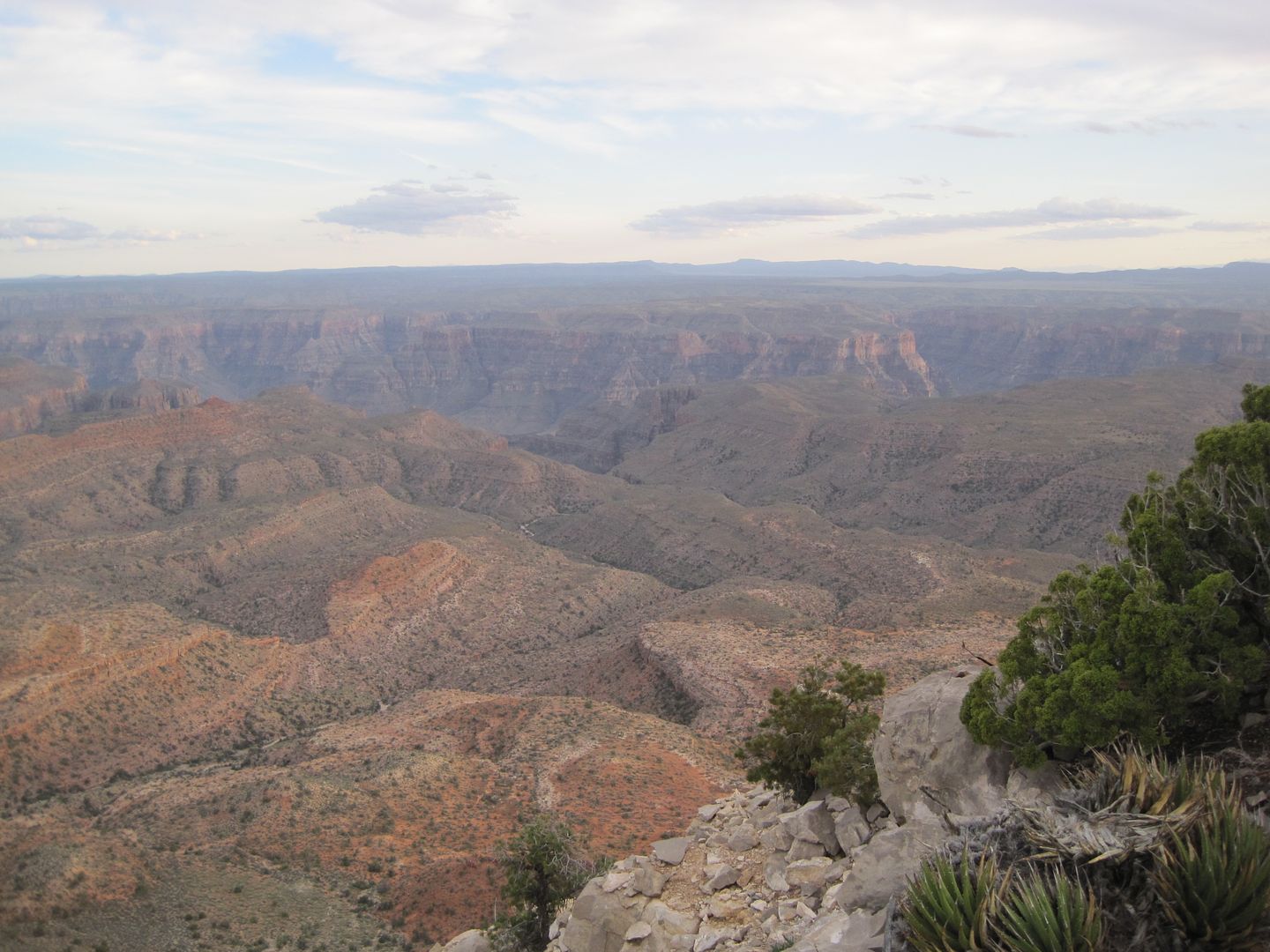
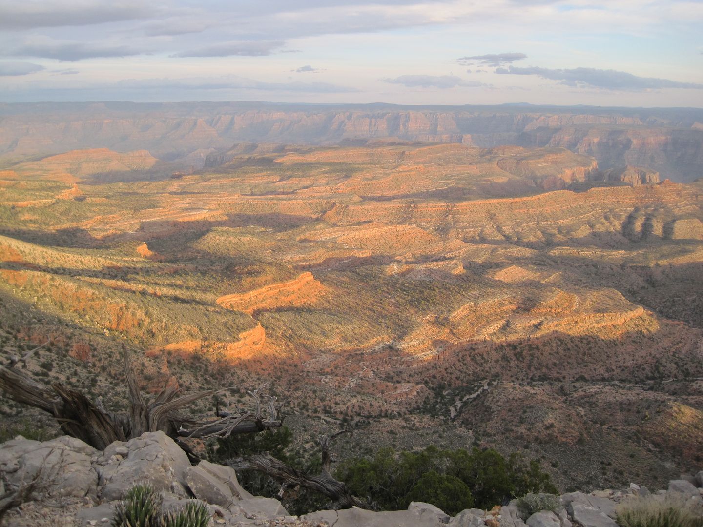
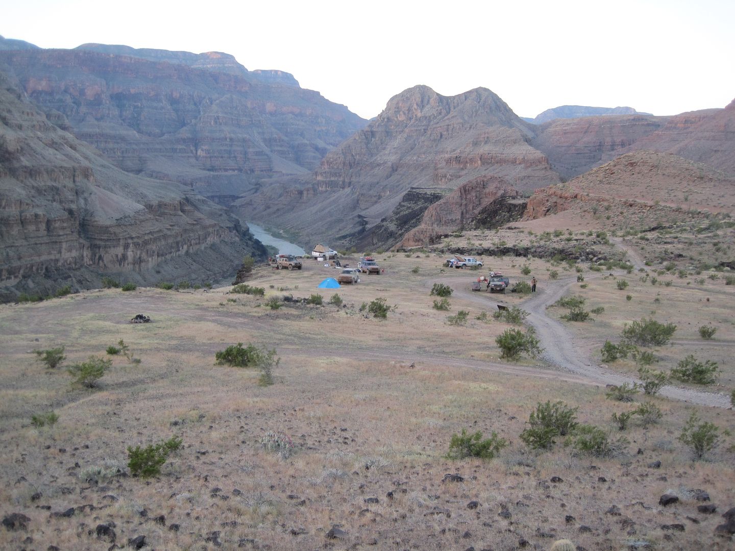
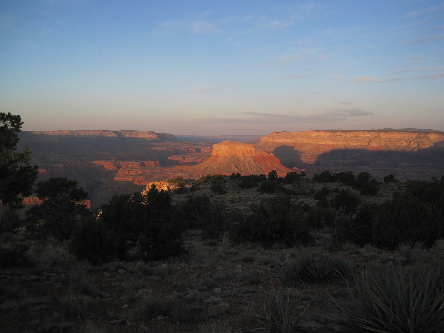
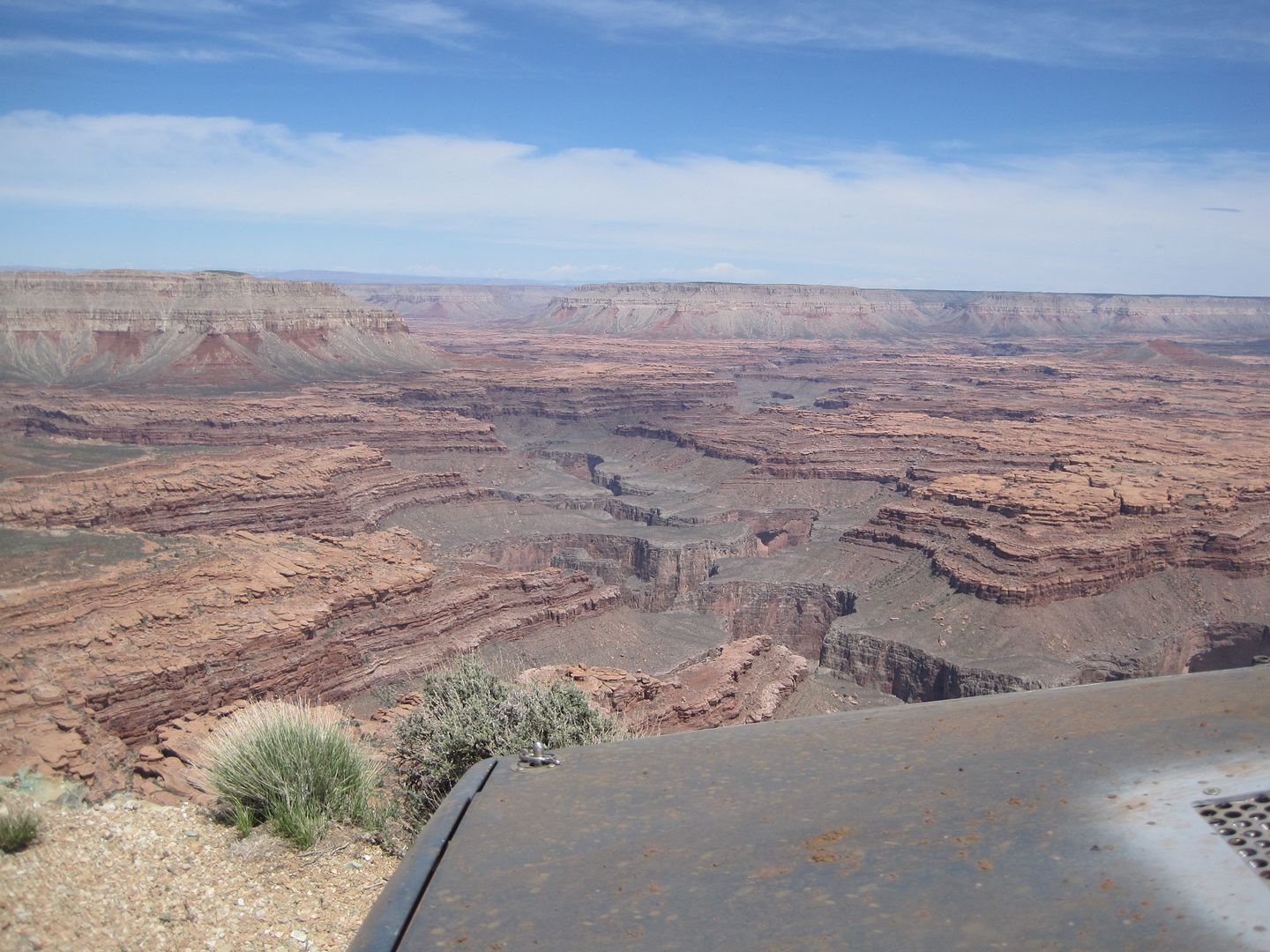
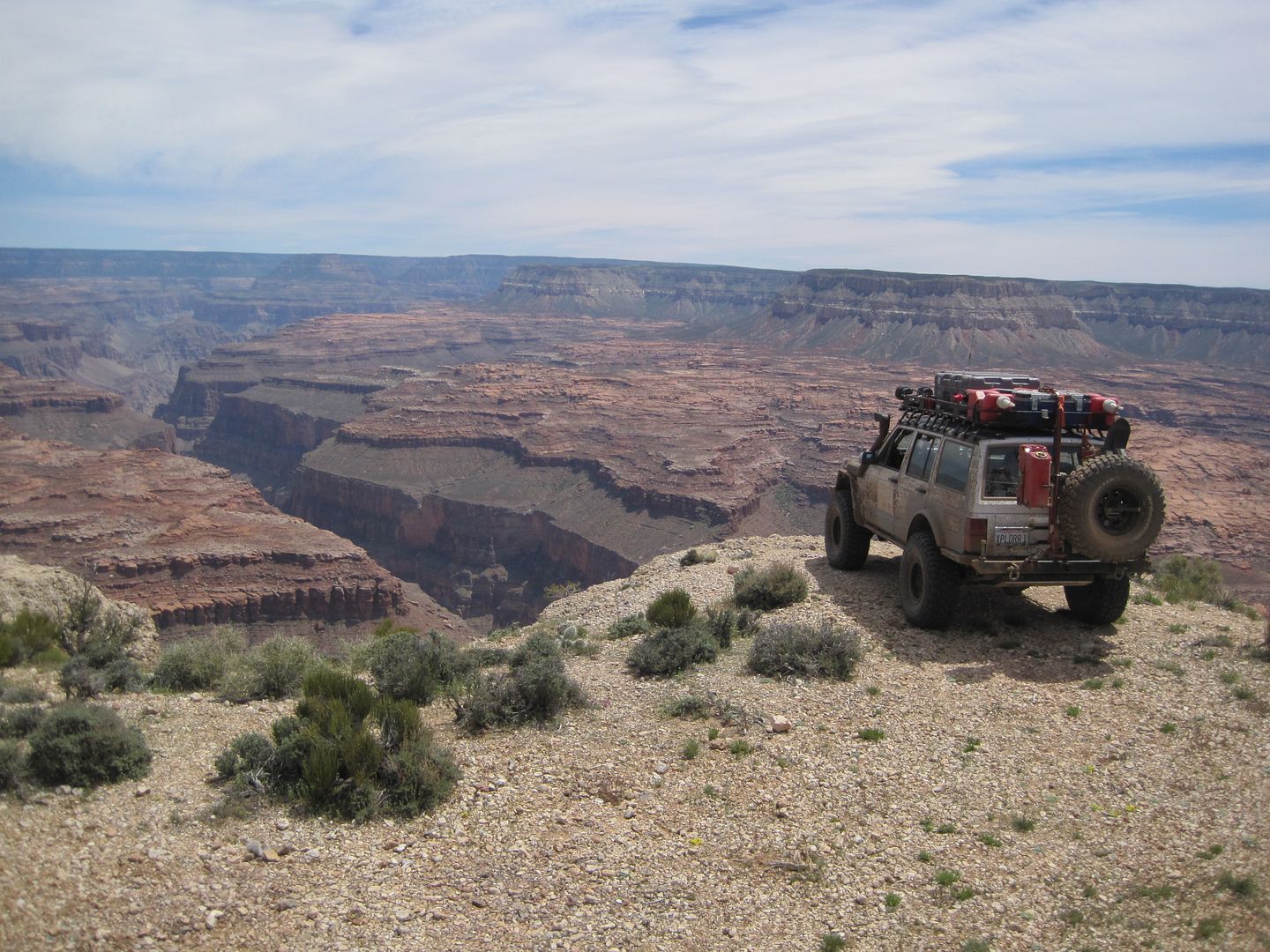
We had no idea of what kind of views were in store for us next morning at SB Point:
Here is shot of what we found in the morning! :Wow1:
Thanks,
Fred
Explorer 1
