You are using an out of date browser. It may not display this or other websites correctly.
You should upgrade or use an alternative browser.
You should upgrade or use an alternative browser.
AWilson013's GX 470
- Thread starter A.Wilson013
- Start date
A.Wilson013
Adventurer
Cool trip, an area that's been on my list to check out. Just have to hit it before or after summer and the closures of the winter
No time like the present =)
Not many folks have been out there since it opened on 30 April.
A.Wilson013
Adventurer
OME BP-51 Measurements
For anyone interested, here are the measurements from before the lift, after the lift, and after about 1000 miles, 100 or so being a rough offroad trip. All measurements are with a FULL tank of fuel, no cargo in the truck, and my 125lb roof top tent on top. Measurements are from bottom of wheel to fender (strange, but it's what ARB asked for).
Coilovers are set at 10mm of preload (down from 20mm as shipped). Rear springs are OME 896 and are way too stiff for my application (even when loaded down, it seems).
BEFORE:
DF 28-3/8"
PF 28-3/8"
DR 29-1/8"
PR 29-3/16"
AFTER INSTALL:
DF 31-1/2"
PF 31-1/2"
DR 33"
PR 32-7/8"
AFTER TWO WEEKS:
DF 30-7/8"
PF 30-1/4"
DR 33"
PR 32-1/2"
As you can see, the passenger side is settling more than the driver side which is quite counterintuitive, considering the battery and fuel tank locations on the driver side.
Looking to lower the front to achieve just 2" of lift, and replace the rear springs with something that can provide a better ride, with less lift. Likely something dual-rate.
A.Wilson013
Adventurer
This past weekend I went out to one of my favorite spots, Lake Cle Elum, with my wife and my buddy Sam. The water level was WAY higher than it was a few weeks prior, but we were still able to find camping. I won't bore you with some elaborate trip report. We drove there, drank some beers, enjoyed the sun, and stayed two nights.
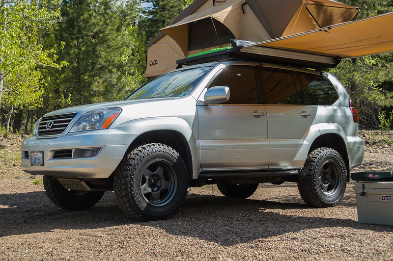 DSC_0016 by Alex Wilson, on Flickr
It got pretty hot on Saturday, so Holly Dog found some shade. (Apparently the shade from the awning wasn't good enough)
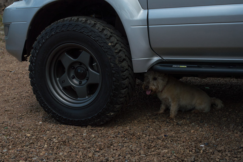 DSC_0035 by Alex Wilson, on Flickr
Elle wasn't very impressed that my wife had brought her sweatshirt.
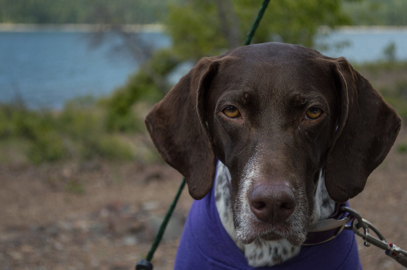 DSC_0048 by Alex Wilson, on Flickr
I was shocked at how high the water level was, and figured it was due to snow melt. This got me curious as to how much snow had melted since we were there a few weeks prior, so we drove up to Salmon La Sac (which was still snowed in on April 23rd) and found that it was bone dry and PACKED with people camping along the river.
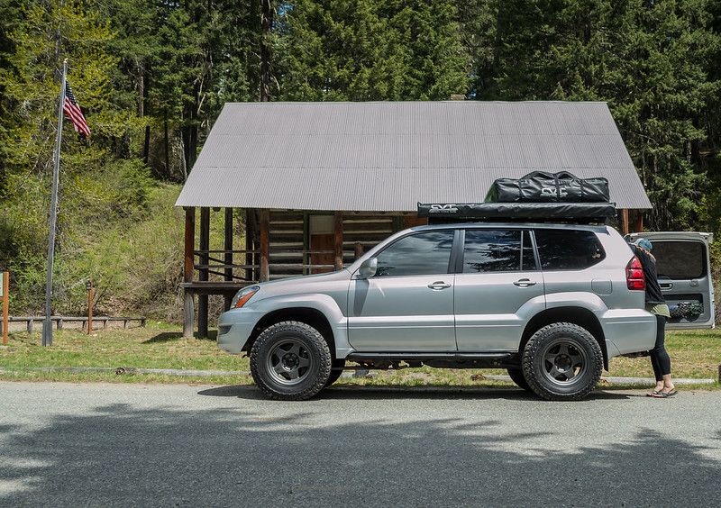 DSC_0051 by Alex Wilson, on Flickr
So, we decided to see how far up the snow level was, and made our way up NF-4330 toward Gallagher Head Lake to see how far we could make it. We made it to 47.46828, -121.04473 about 1.5 miles from the turn off for NF 160, or about .8 miles from what my map calls "Fortune Creek Jeep Trail" which I believe is 4W301. I imagine I could have aired down and pressed on further (there were tracks in the snow) but my friend's GX is still stock, essentially, and neither of us have a winch. The snow was wet, slippery, and about 1 foot deep. I didn't take any pictures, unfortunately. My feet were cold in my sandals =p.
That was pretty much that... We headed home Sunday morning.
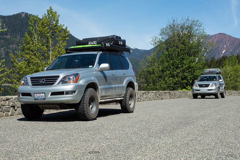 DSC_0088 by Alex Wilson, on Flickr
 DSC_0016 by Alex Wilson, on Flickr
It got pretty hot on Saturday, so Holly Dog found some shade. (Apparently the shade from the awning wasn't good enough)
 DSC_0035 by Alex Wilson, on Flickr
Elle wasn't very impressed that my wife had brought her sweatshirt.
 DSC_0048 by Alex Wilson, on Flickr
I was shocked at how high the water level was, and figured it was due to snow melt. This got me curious as to how much snow had melted since we were there a few weeks prior, so we drove up to Salmon La Sac (which was still snowed in on April 23rd) and found that it was bone dry and PACKED with people camping along the river.
 DSC_0051 by Alex Wilson, on Flickr
So, we decided to see how far up the snow level was, and made our way up NF-4330 toward Gallagher Head Lake to see how far we could make it. We made it to 47.46828, -121.04473 about 1.5 miles from the turn off for NF 160, or about .8 miles from what my map calls "Fortune Creek Jeep Trail" which I believe is 4W301. I imagine I could have aired down and pressed on further (there were tracks in the snow) but my friend's GX is still stock, essentially, and neither of us have a winch. The snow was wet, slippery, and about 1 foot deep. I didn't take any pictures, unfortunately. My feet were cold in my sandals =p.
That was pretty much that... We headed home Sunday morning.
 DSC_0088 by Alex Wilson, on Flickr
northwesttaco5
New member
Wow that looks perfectly level now with all the camping gear
A.Wilson013
Adventurer
Wow that looks perfectly level now with all the camping gear
I wish! That was with all camping gear and 120lbs of tube sand.
With the new springs (that pic was still with the OME springs) it sits about like that with just the bags in there. Going to take them out tonight and see where we're at.
That was my understand of it's function as well. The only thing I can think is that by unplugging the "RSCA Off" switch maybe I disturbed some sort of system? Unfortunately it's kinda hard to spin the tires in 4lo to test it once I plug the thing back in.
I don't recall the name of the road, but the exact spot of the hill climb was here... 47.06061, -120.08710
Are you sure that's not the ATRAC kicking in? My V8 4Runner (same system) does that, clicks and clatters like crazy going up hills when a tire looses traction. Doesn't cut the power though. I have found it works well to just keep the rpm at 2500 or so and it usually makes its way up. The first time that happened i was like ****** was that? If it cut the power though that may be something entirely different.
A.Wilson013
Adventurer
Are you sure that's not the ATRAC kicking in? My V8 4Runner (same system) does that, clicks and clatters like crazy going up hills when a tire looses traction. Doesn't cut the power though. I have found it works well to just keep the rpm at 2500 or so and it usually makes its way up. The first time that happened i was like ****** was that? If it cut the power though that may be something entirely different.
After talking with some other folks, I think it was the ATRAC. I just had never experienced anything like it... Next time I'll pay a bit more attention to it
Dranged
Coffee-Chocolate
Love this build (long-time-no-login here for me)!
So you have the RCI aluminum skid for GX 470 with KDSS? Rad! It looks different than the image on their website.


Does yours cover the first 2 cross members as this one advertises? I like the angle of approach in your skid better than as advertised/pictured on the site.
Also, Coastal offroad now makes a front aluminum, high clearance front bumper for the GX. It's a DIY kit and in CAN$, so lower cost than the other offerings.

Ciao and happy wheeling/moding!!
So you have the RCI aluminum skid for GX 470 with KDSS? Rad! It looks different than the image on their website.


Does yours cover the first 2 cross members as this one advertises? I like the angle of approach in your skid better than as advertised/pictured on the site.
Also, Coastal offroad now makes a front aluminum, high clearance front bumper for the GX. It's a DIY kit and in CAN$, so lower cost than the other offerings.

Ciao and happy wheeling/moding!!
Similar threads
- Replies
- 0
- Views
- 681
- Replies
- 1
- Views
- 713
- Replies
- 18
- Views
- 6K
- Replies
- 0
- Views
- 1K
