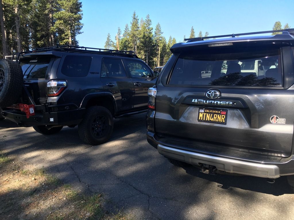
MTN4RNR
Adventurer
Downieville to Sloat - July 2016 (Part 2 of 6)
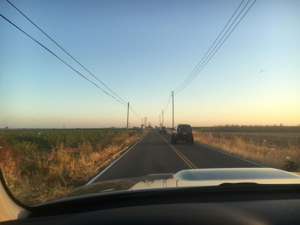
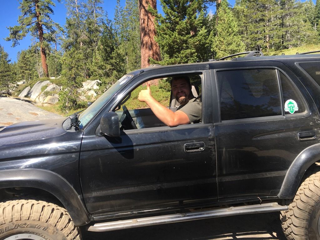
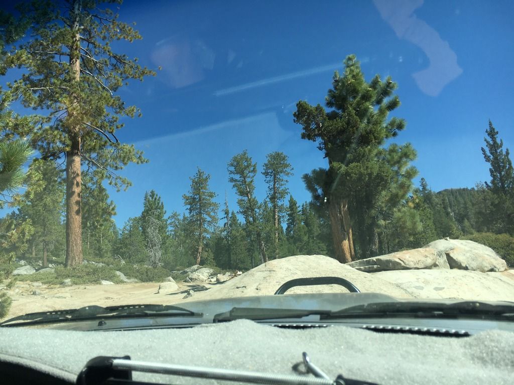
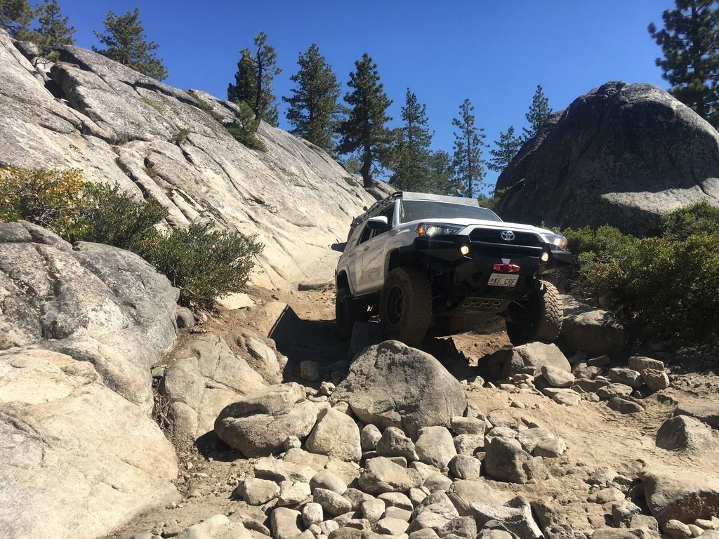
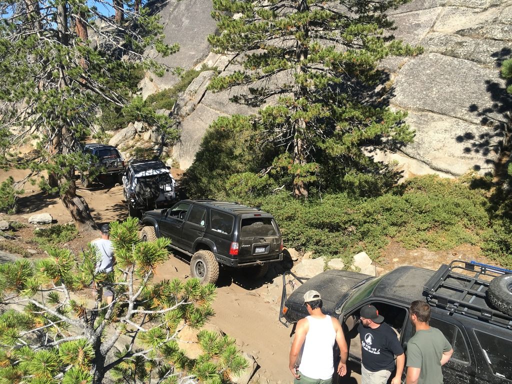
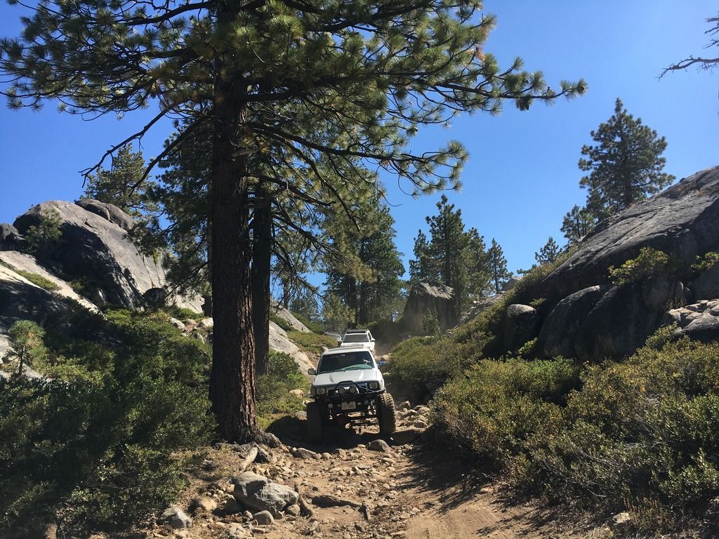
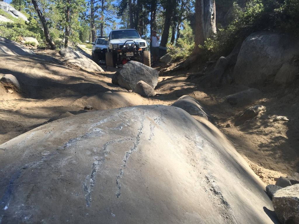
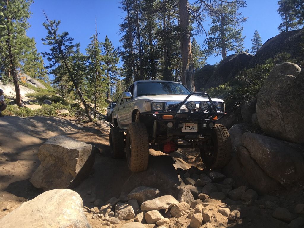
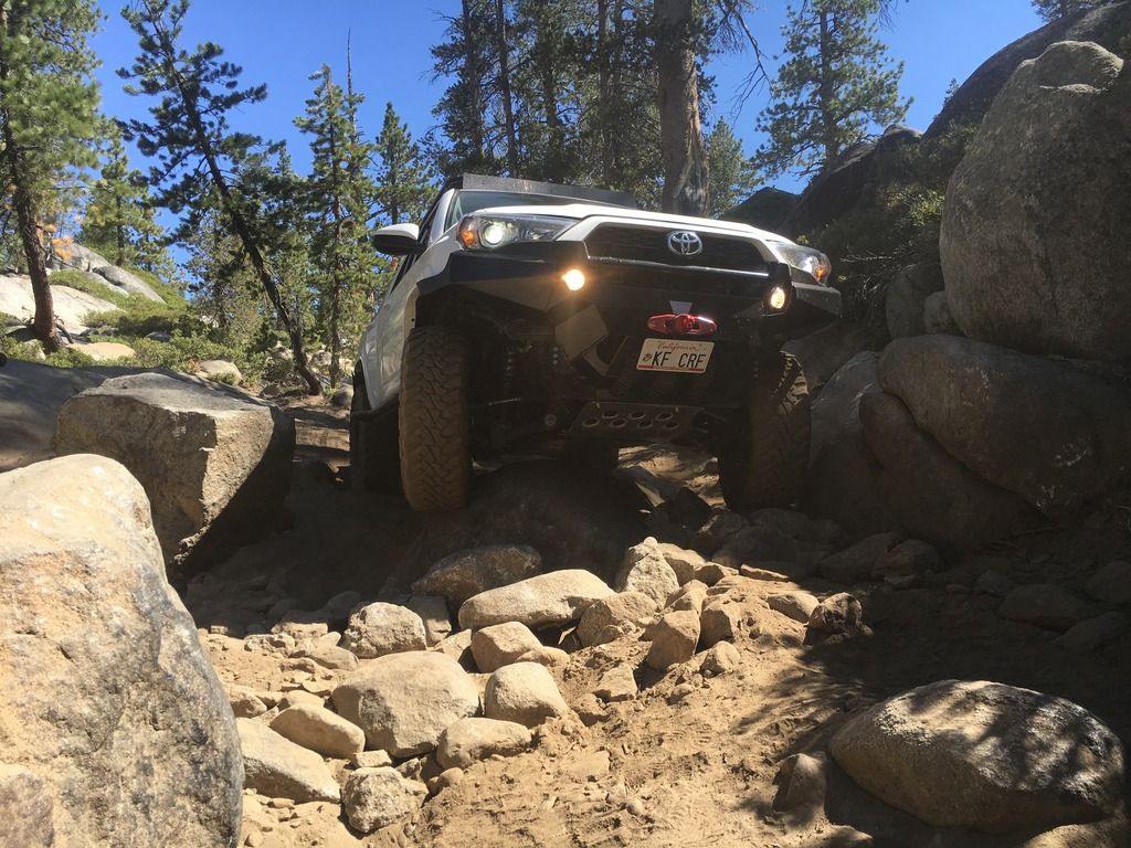
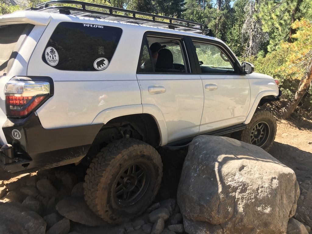
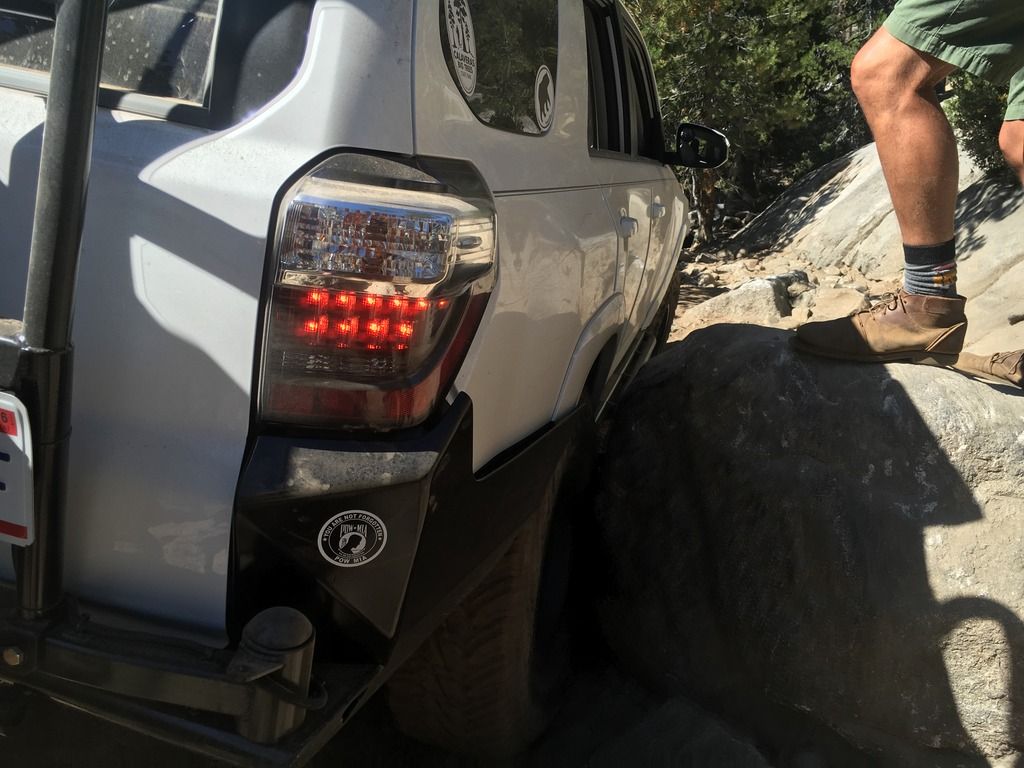
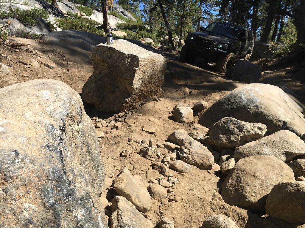
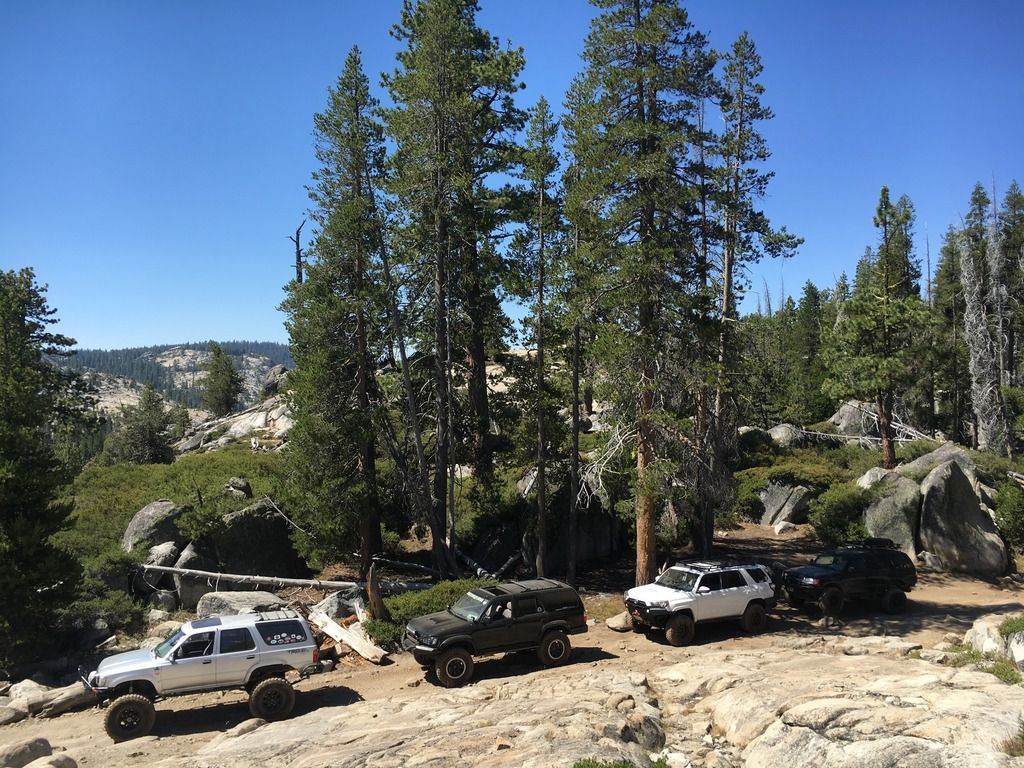
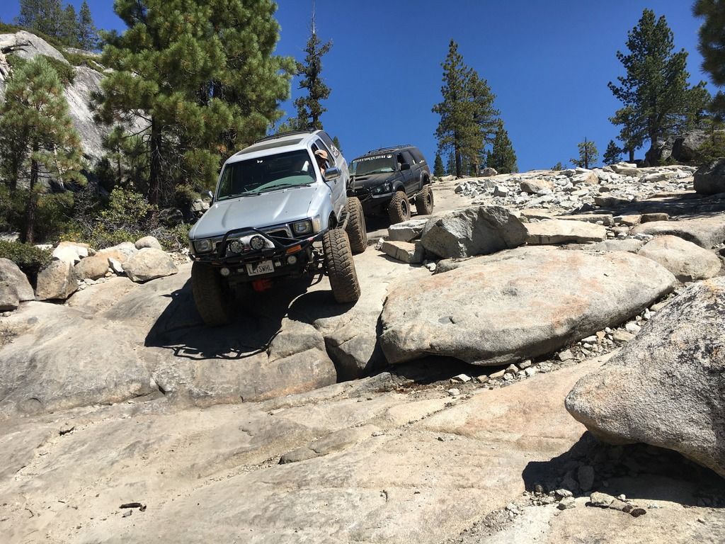
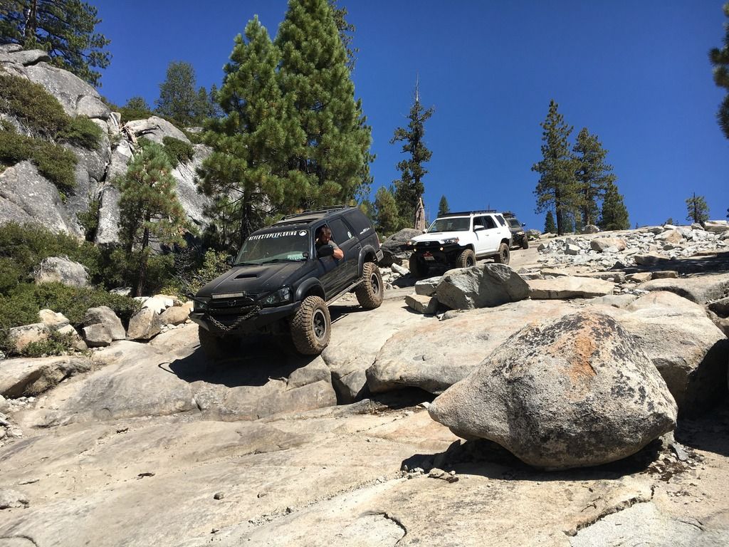
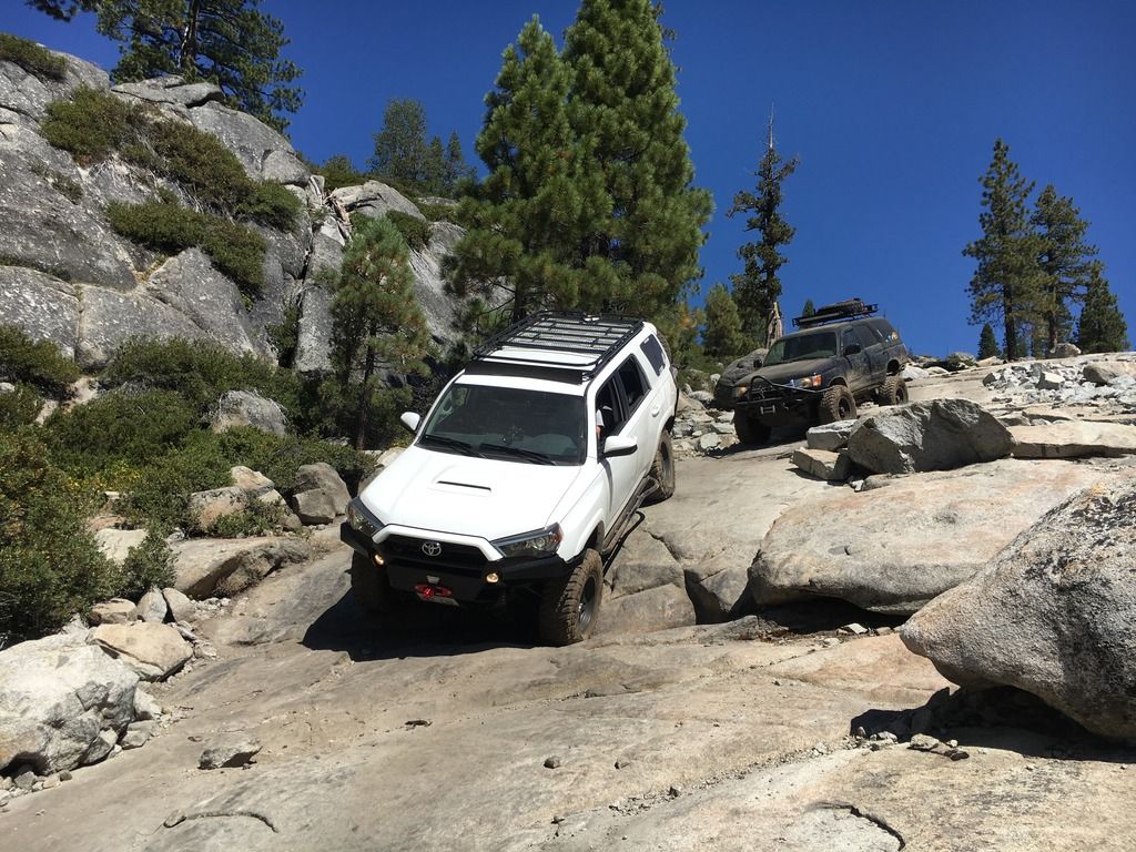
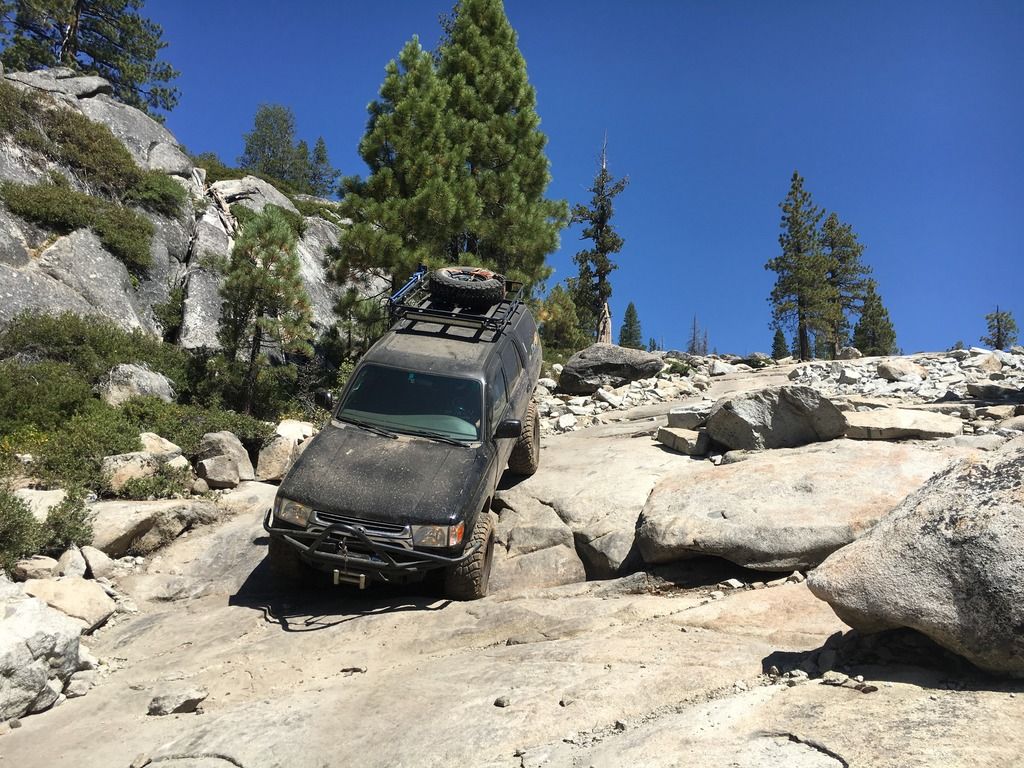
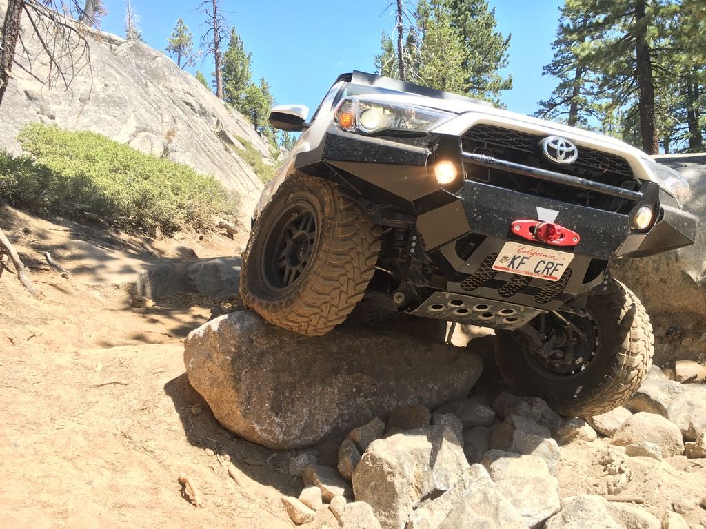
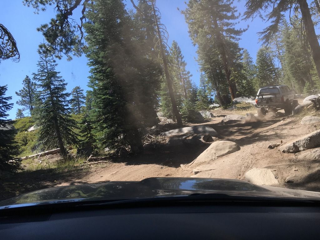
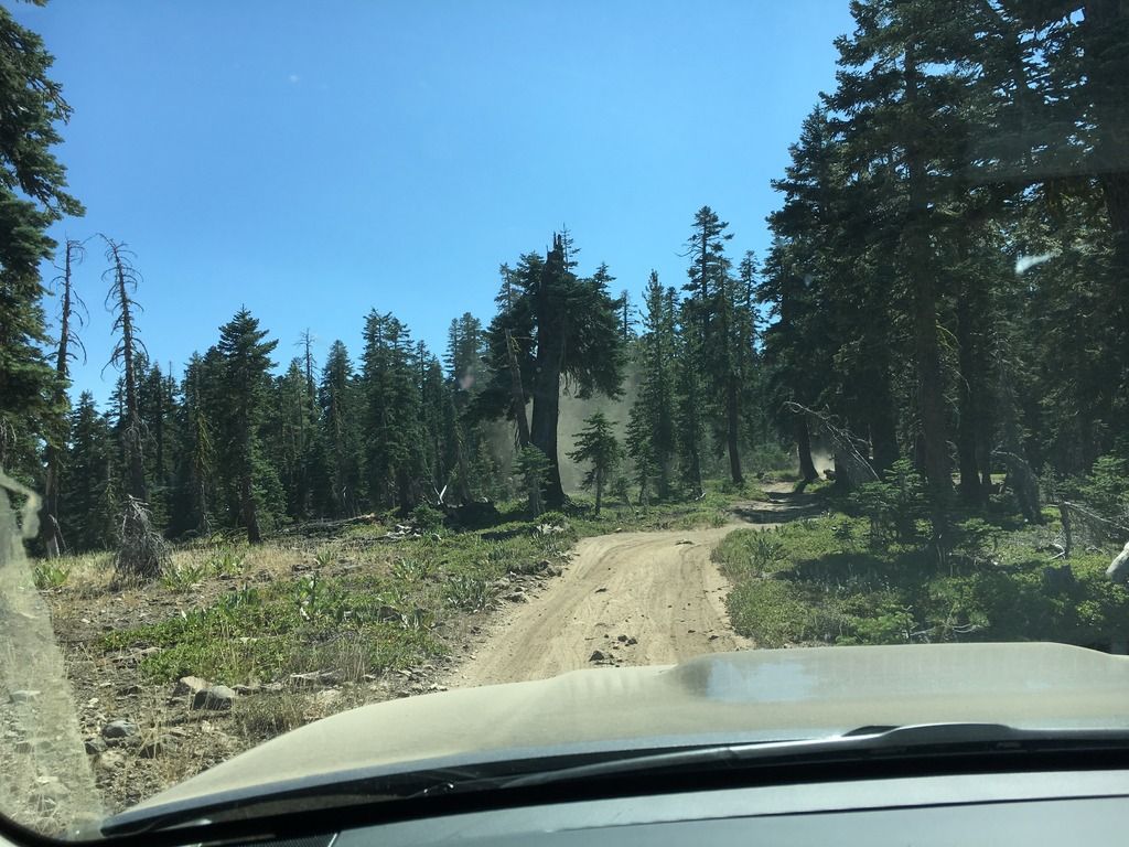
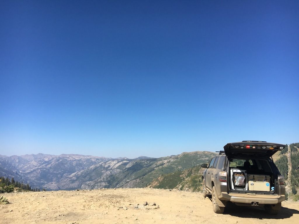
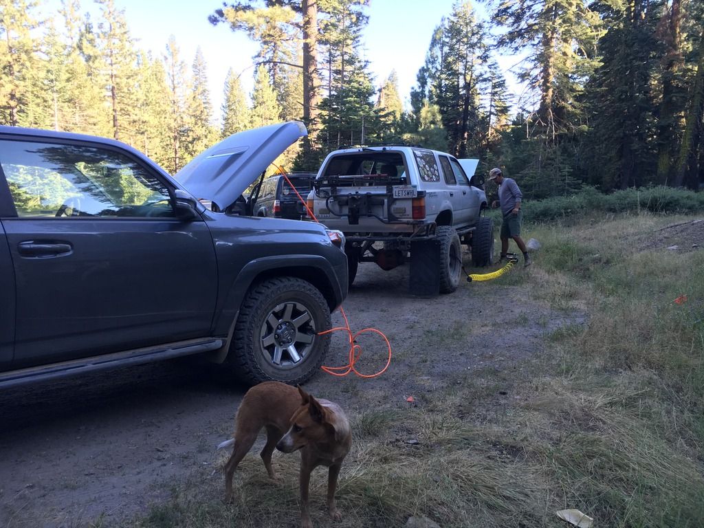
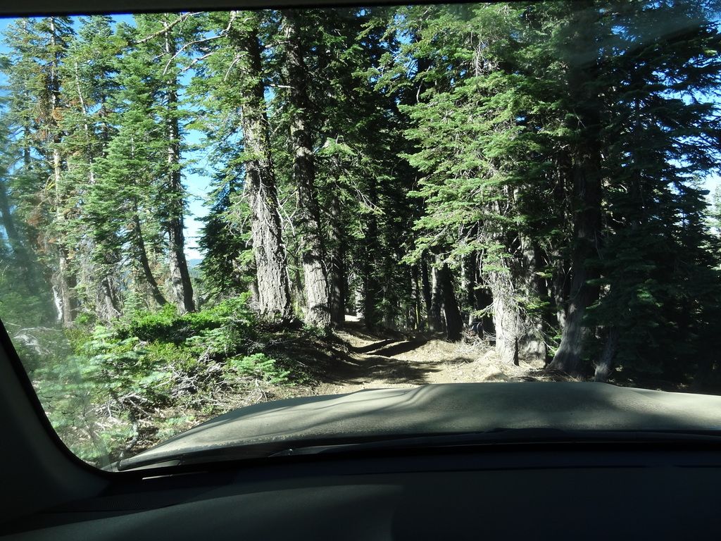
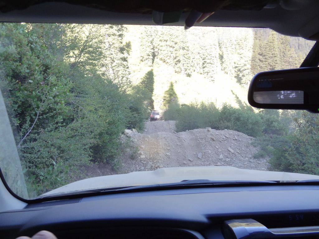
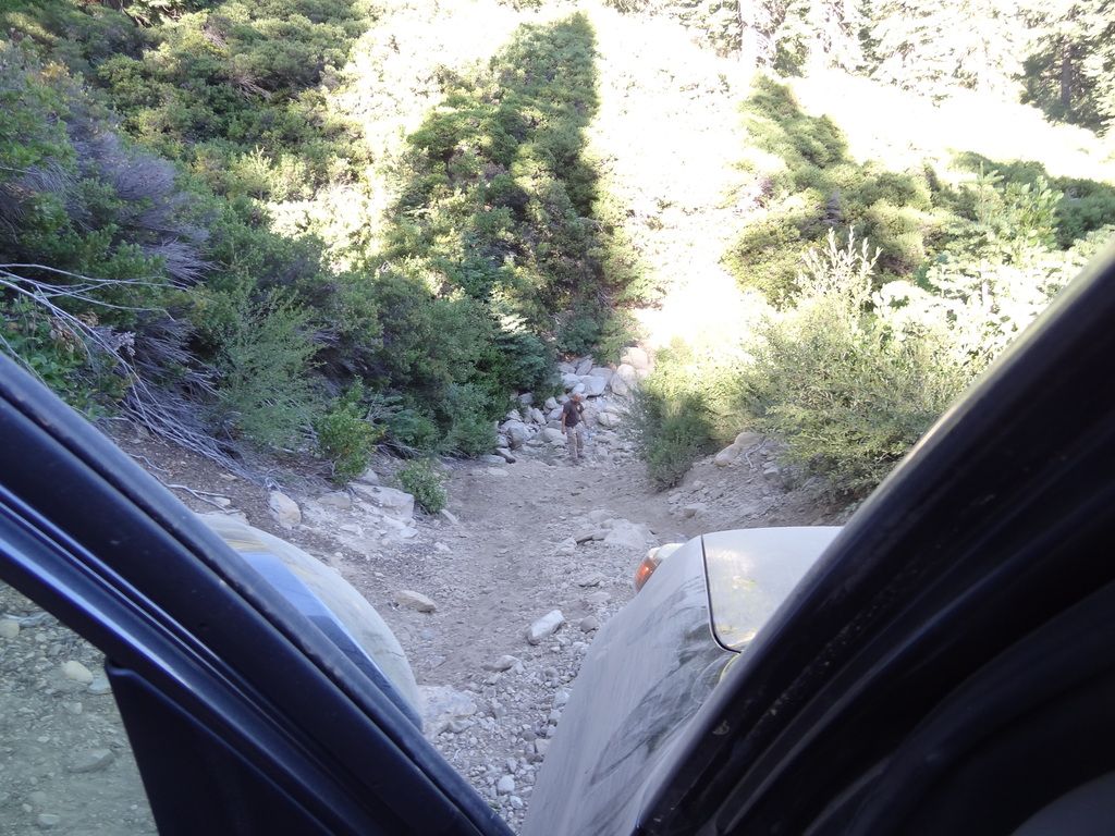
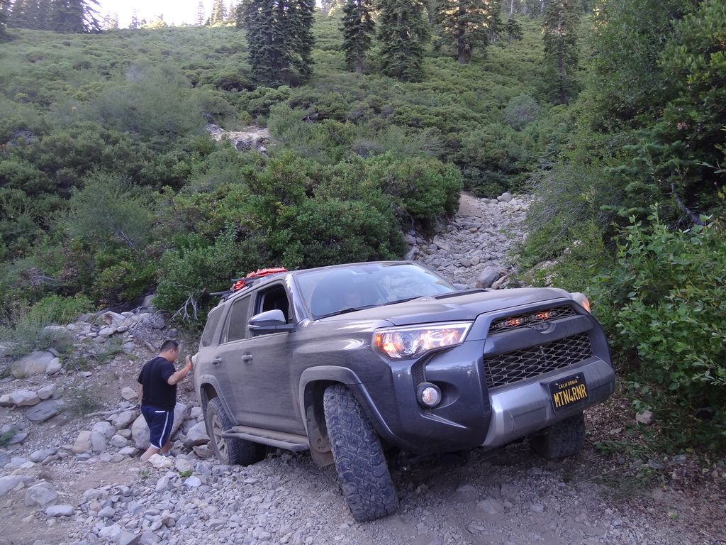
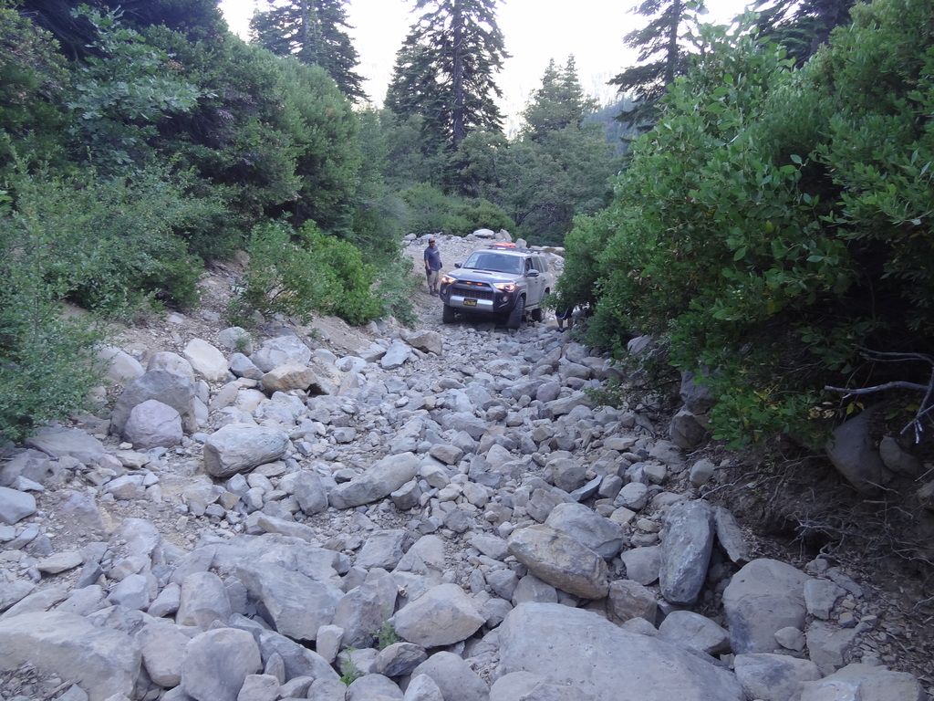
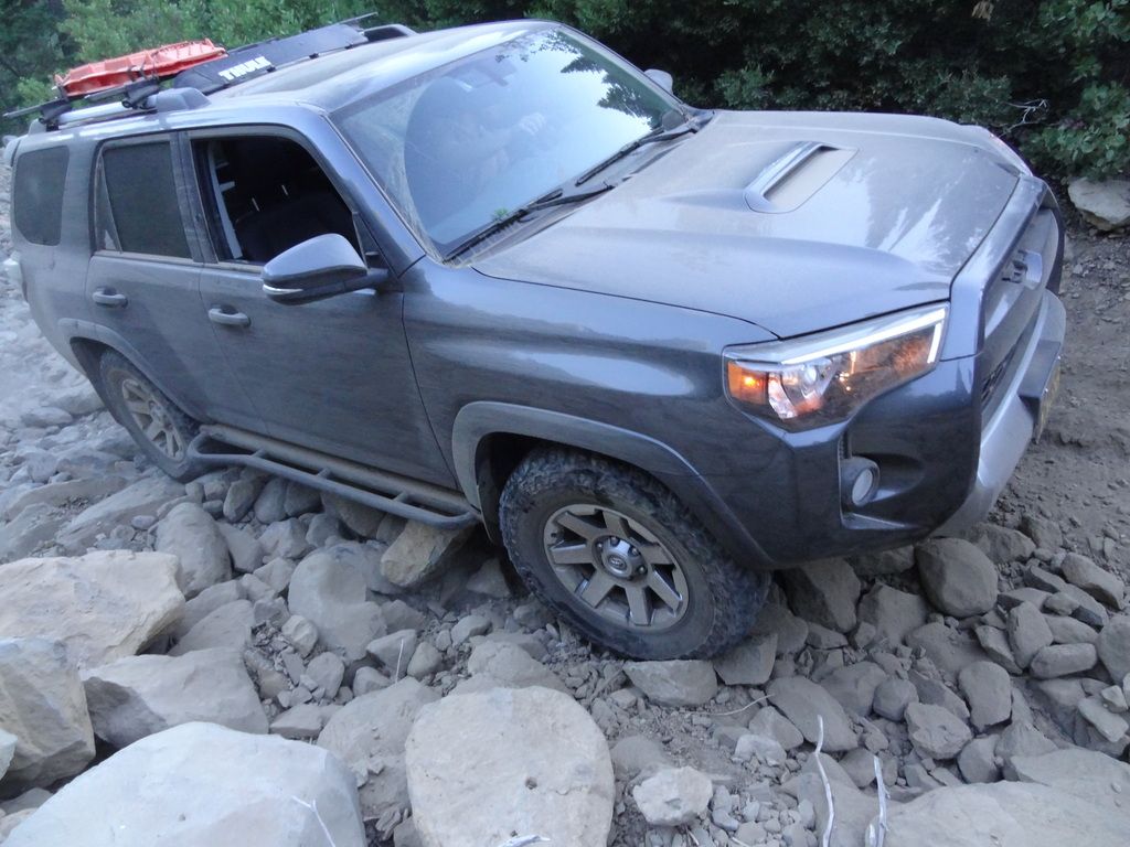
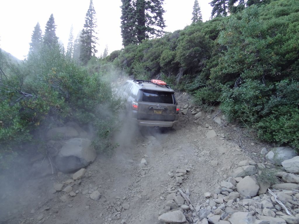
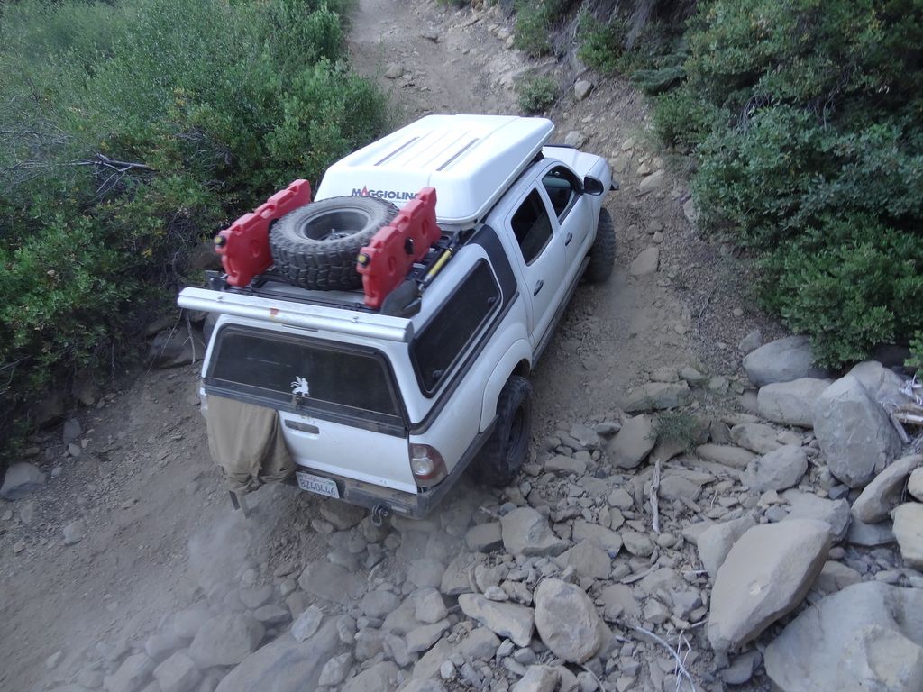
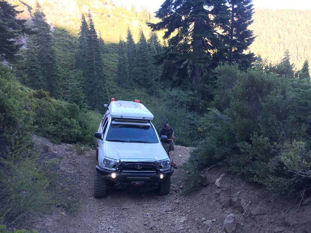
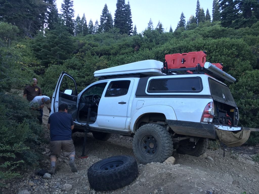
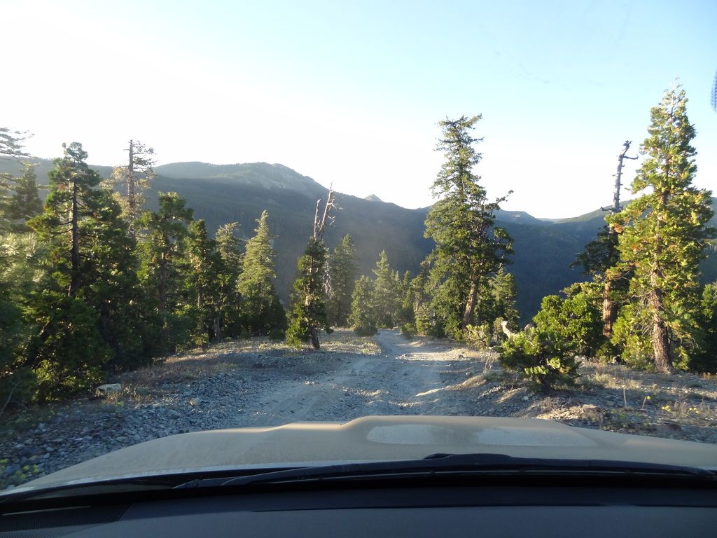
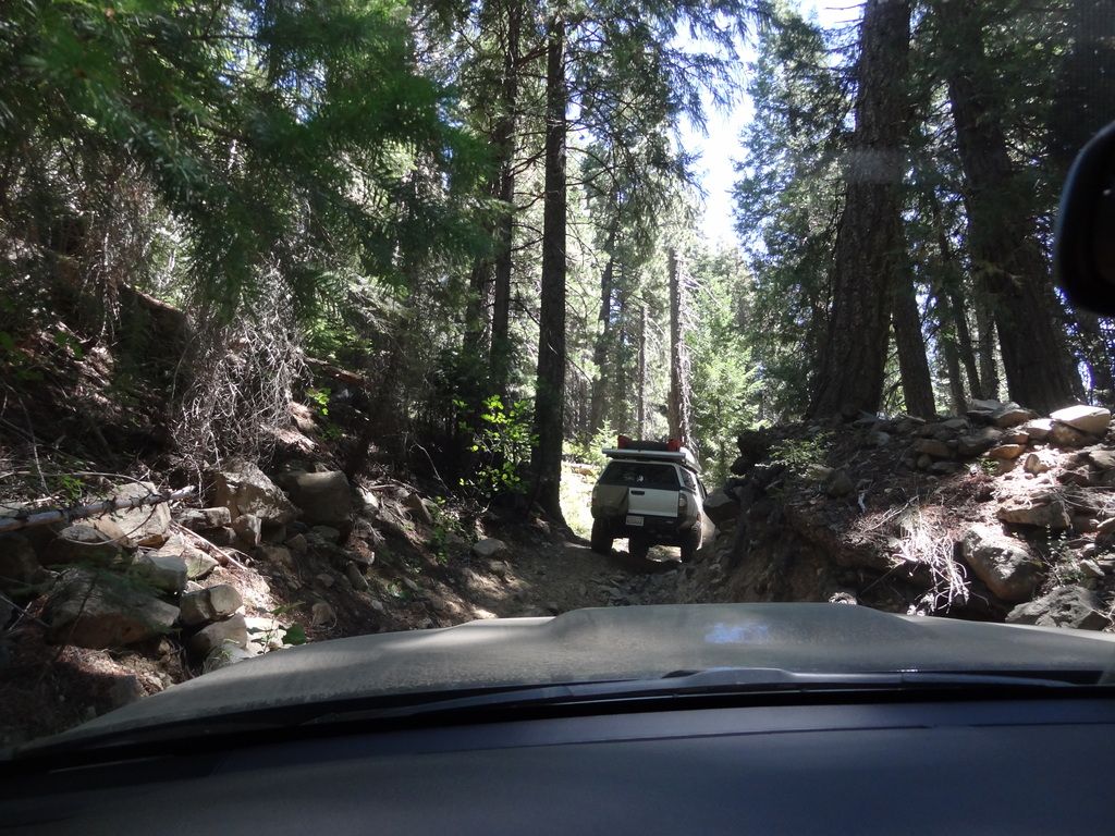
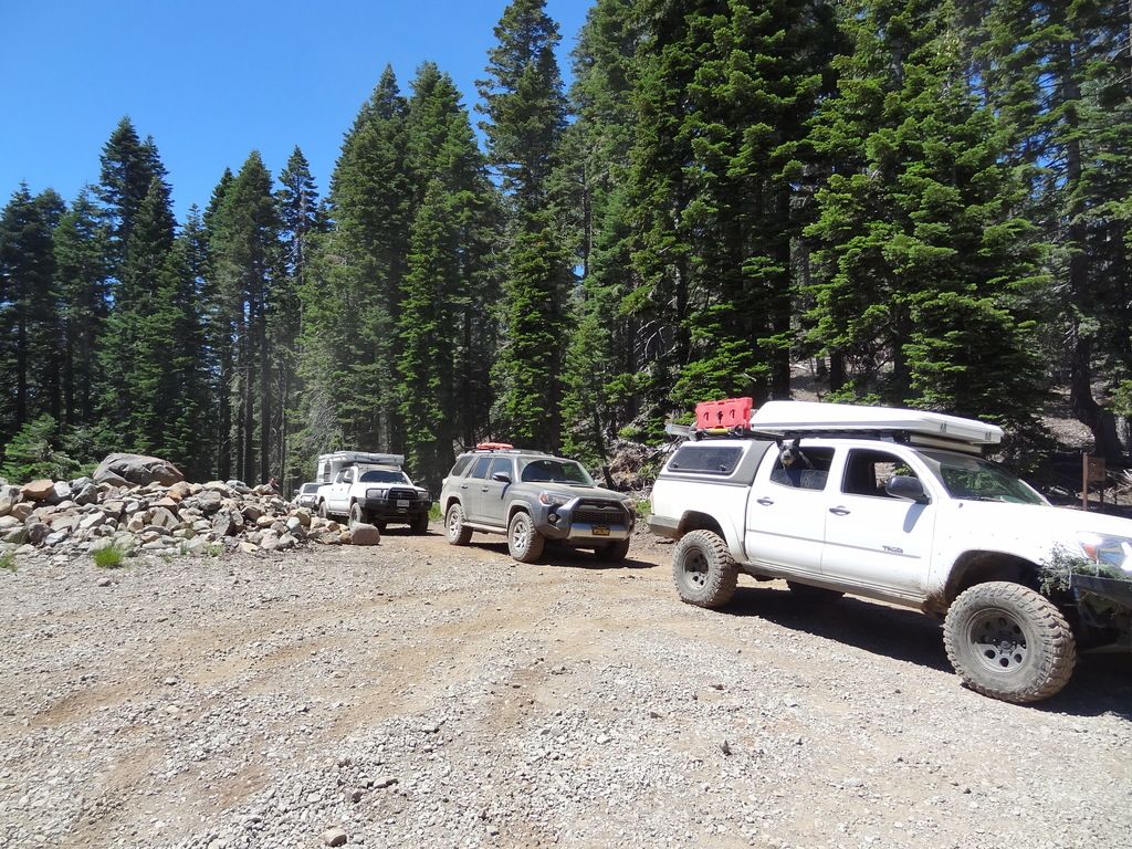
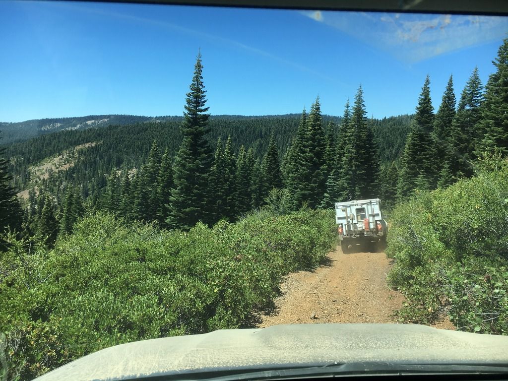
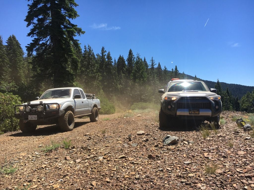
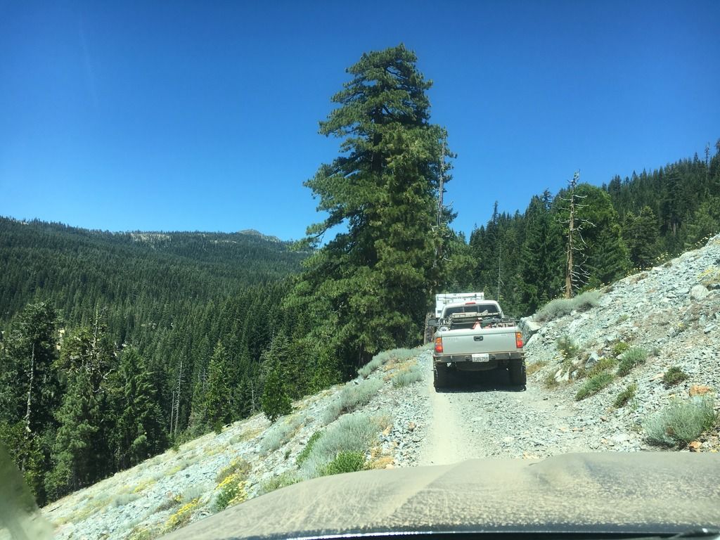
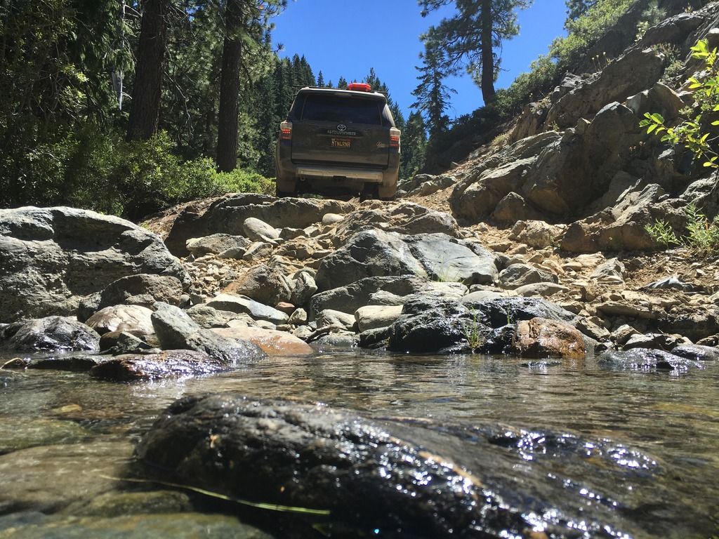
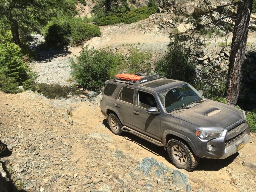
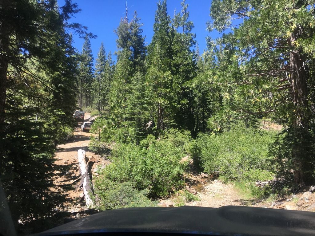
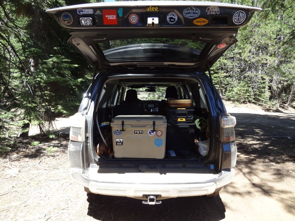
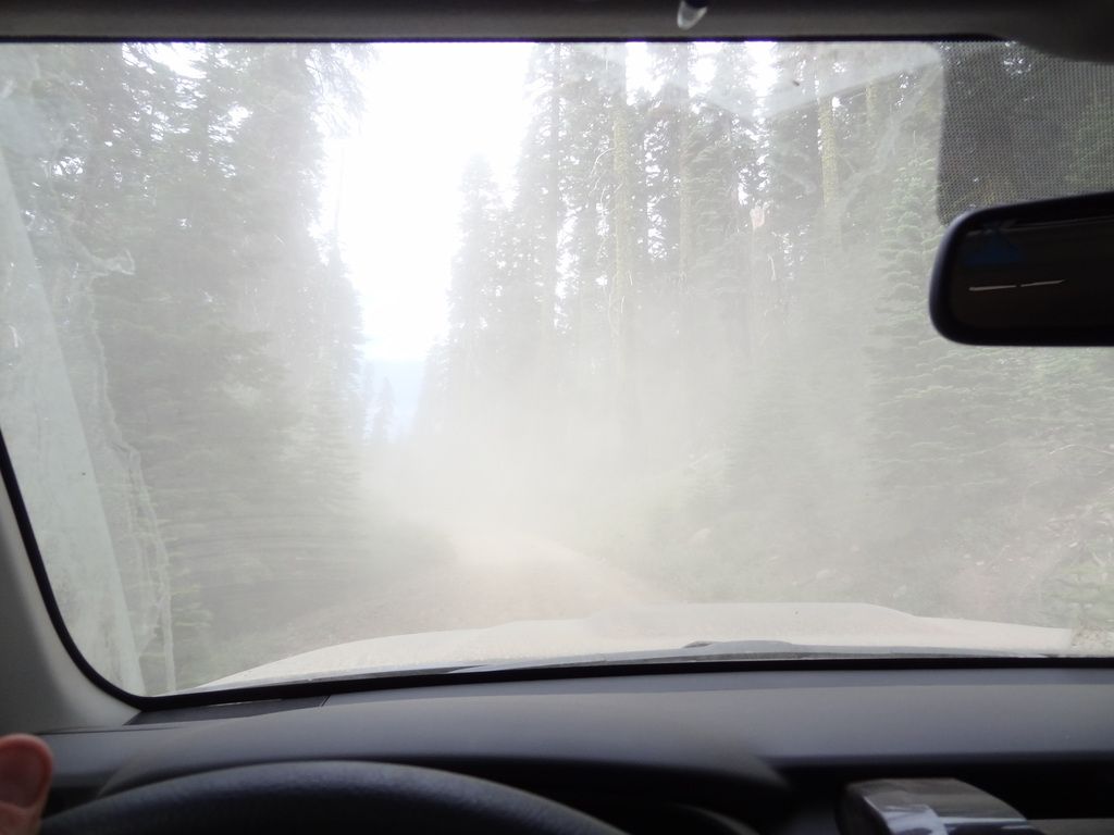
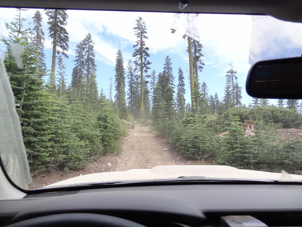
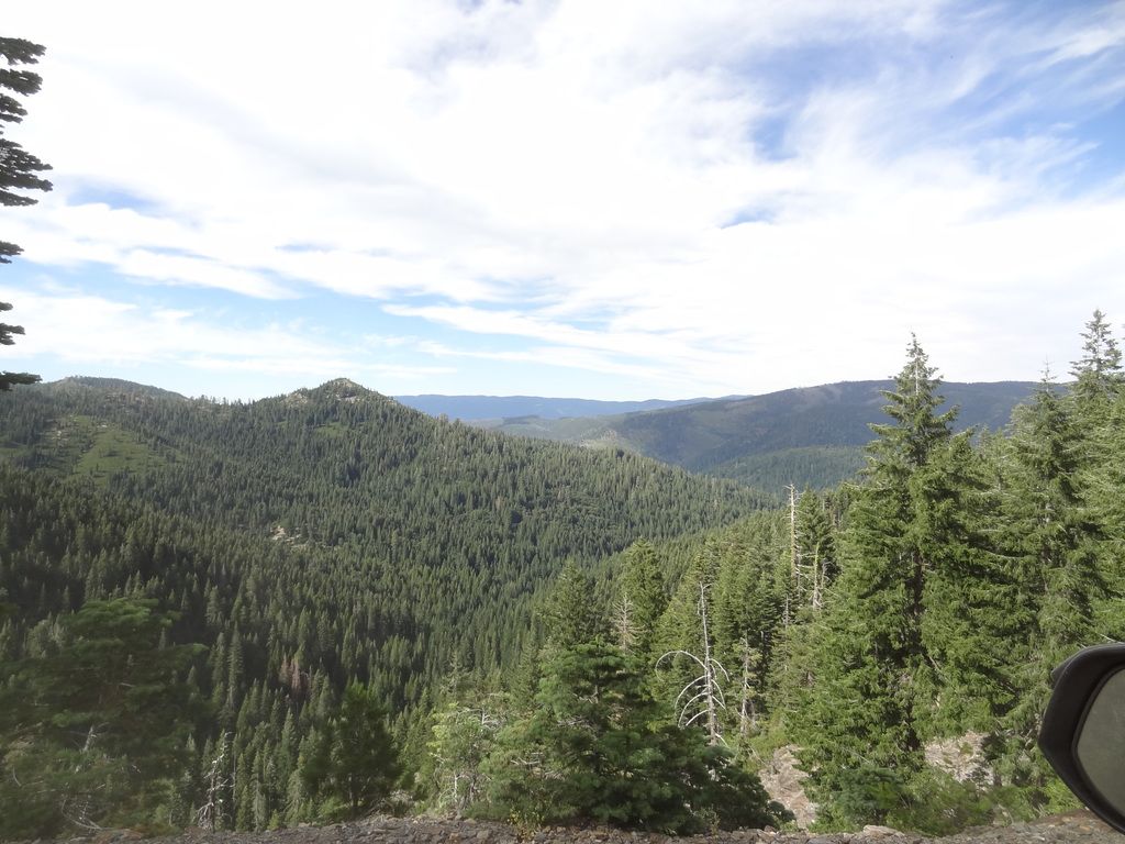
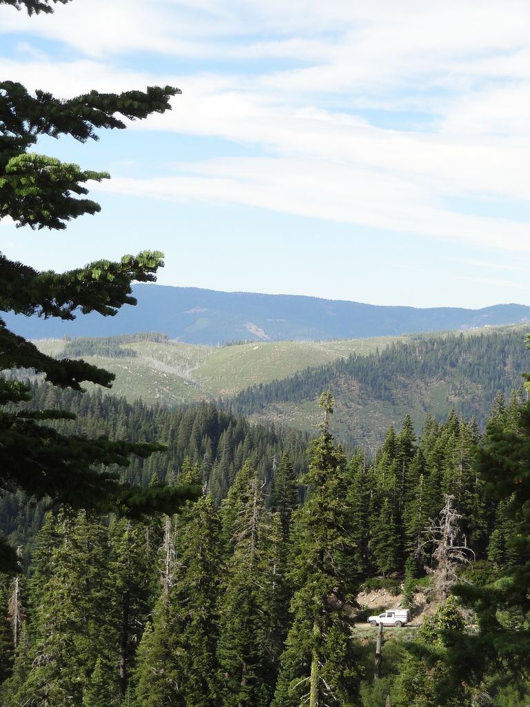
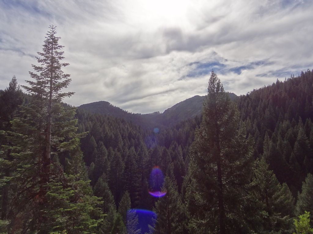
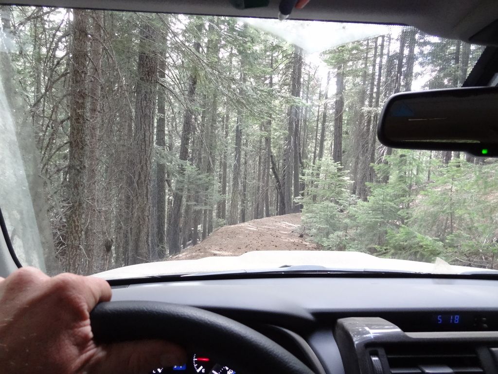
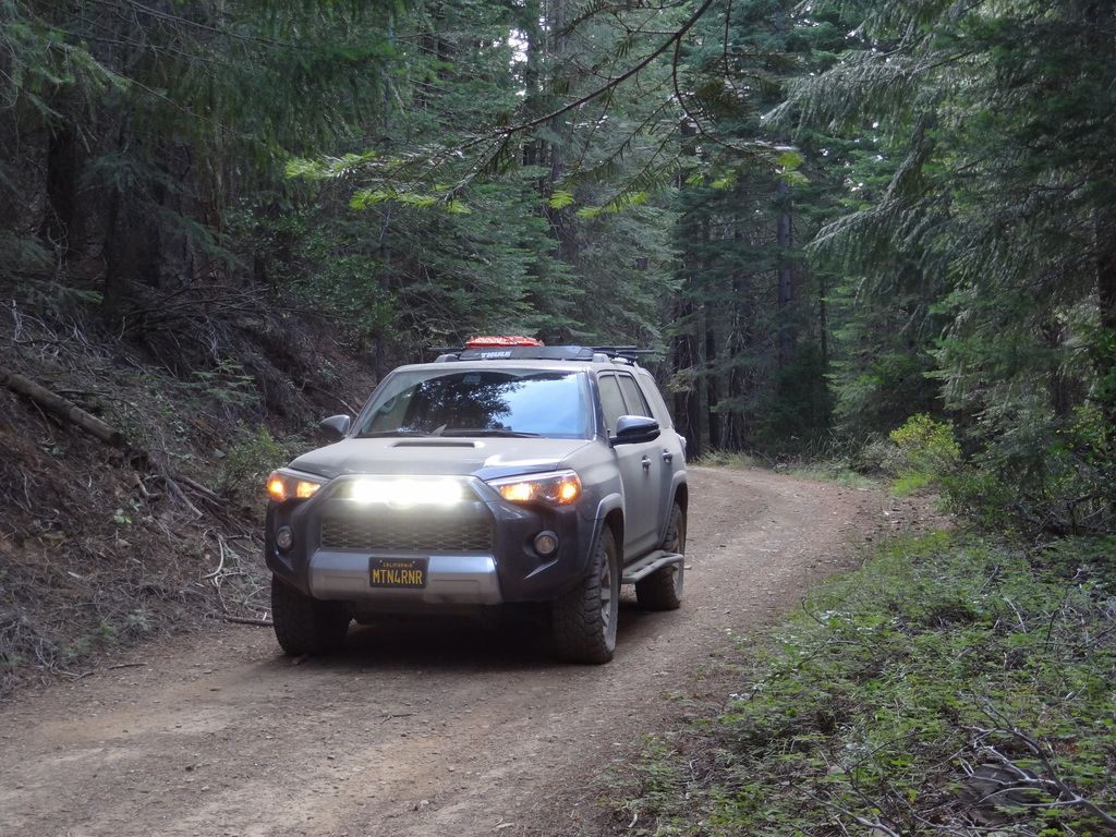
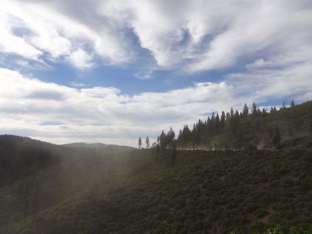
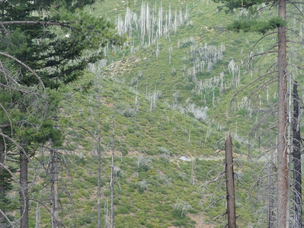
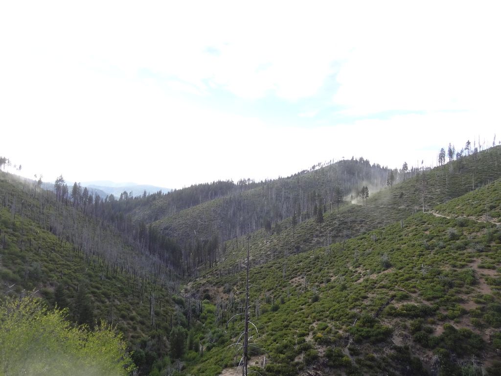
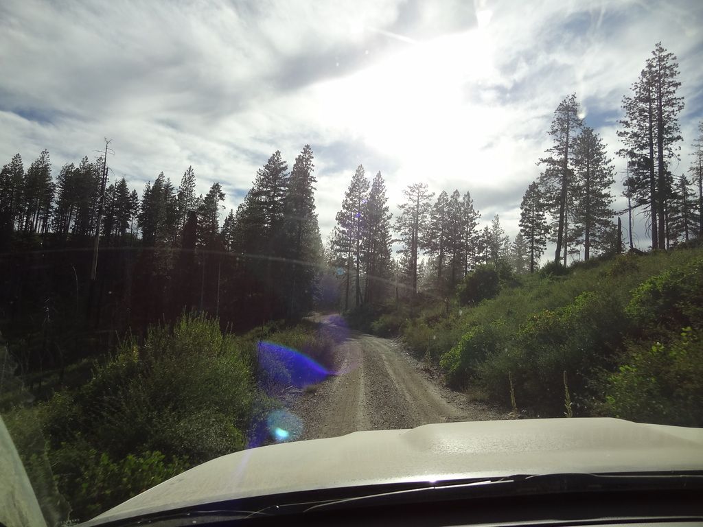
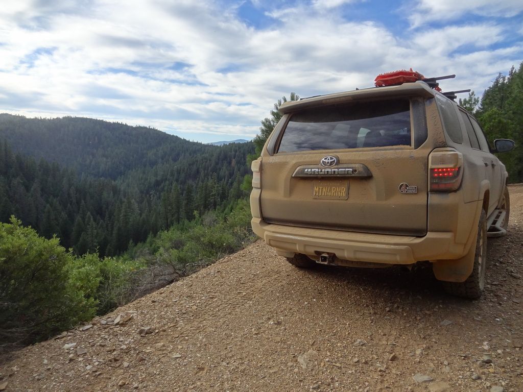
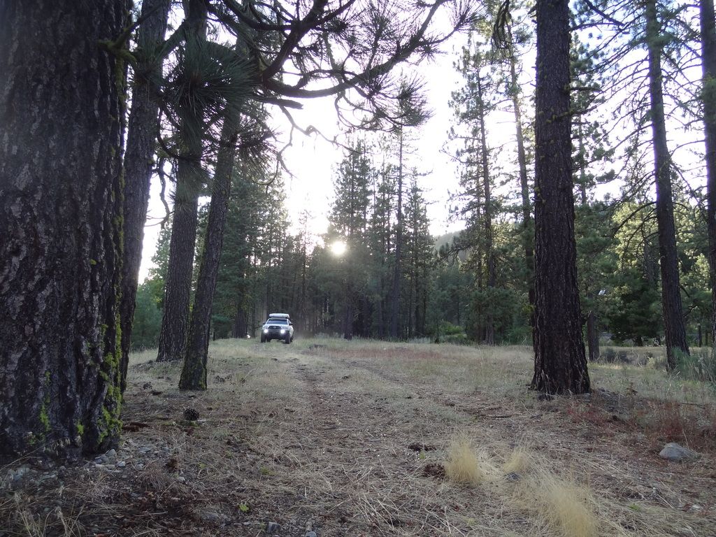
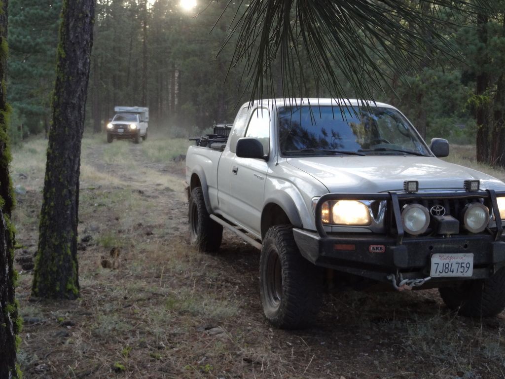
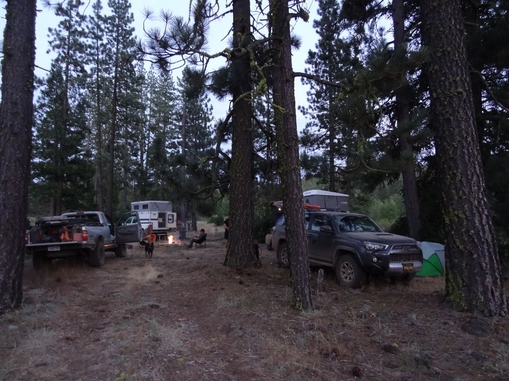
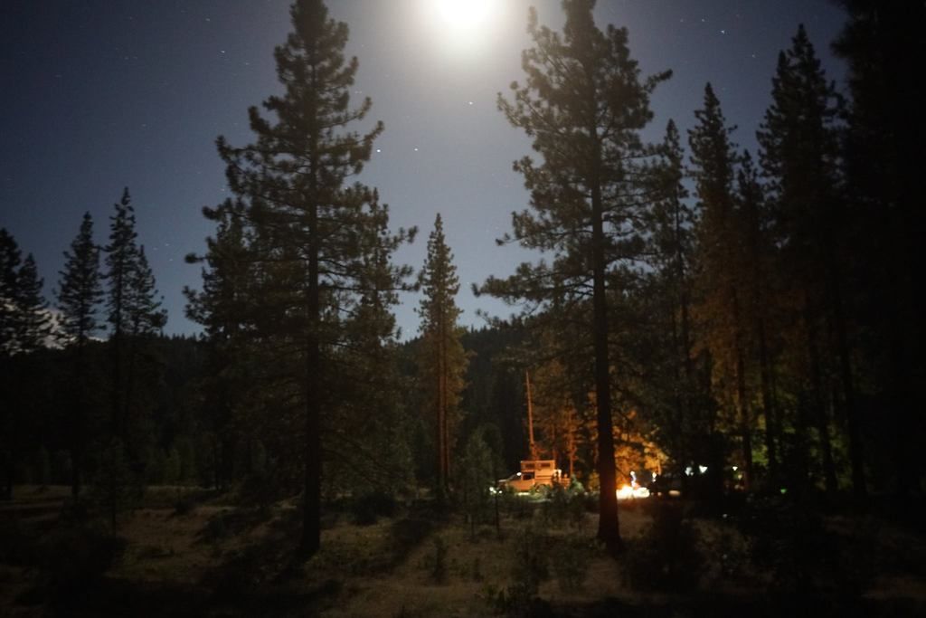
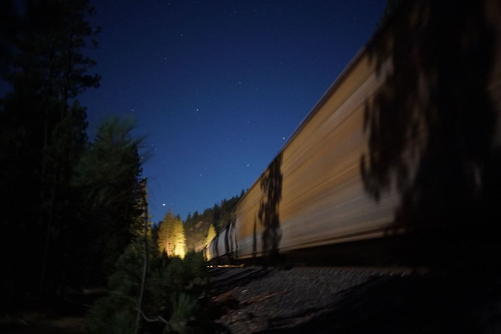
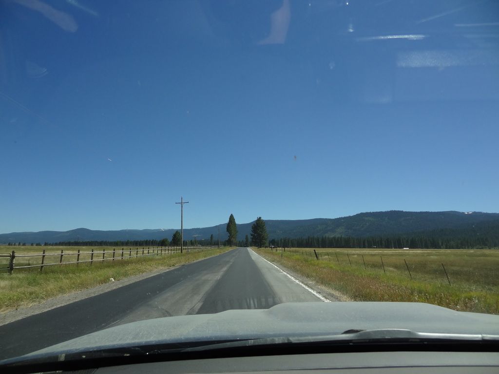
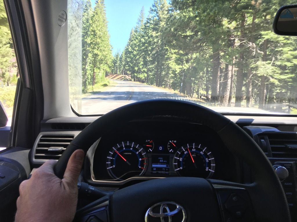
So this side trail. It started as an out and back adventure because any good reason to use 4LO is highly encouraged. From the map, it led itself down a steep hillside, into a canyon below where we would in theory turn around and come back up. It led us through a pine forest before coming around a corner and pointing us down a straight steep section with large water bars into a sharp right hander at the bottom. That right hander put us into a rock garden. I had been dragging my belly over the water bars the whole way down, so seeing the rock garden made me nervous. Basically it boiled down to this: we weren’t backing out, or turning around before the rocks. With some encouragement, guidance, and the moving of a few rocks, I made my way down the rock garden to join Andy who ‘waltzed’ through it first. No problem. The fun part came when I noticed a tree a few hundred yards around the trail that only had enough room for a side by side. Time to turn around. Thankfully there was a small, off camber washout just on our side of the rock garden. We brought Phil and Alvin through the garden, and then proceeded to 5 point turn them around to point them up the hill. Alvin found that his Toyota wanted to make a groaning/grinding noise from somewhere in his front end in 4LO. And Phil killed it with his 6-speed manual. My turn came up, I made the turn around, engaged the locker and moved up the rock garden. Much to my surprise, with Phil spotting, my skid plate stayed skid free through this section (whew). Making the left hand corner up the loose gravel hill was quick, and I had to stop, back down and start again after losing forward momentum the first time. But the second time was the charm, up the hill and out of “the pit”. Andy made his turn just fine, and through the rock garden without any assistance (suspension upgrades allow you to do this). Eric and I were at the bottom of the hill, and caught a ride up on Andy’s slider. But because Andy always has tire problems when I am around, he was too close to the side of the trail and something reached out and tore his valve stem… He drove to a flat (by comparison) spot of the trail, and we changed the tire. Everyone on 4 tires again, we climbed the rest of the way out, and decided it was in our best interest to make our way to camp at Poker Flat which was a easy drive along a ridge and down into a ravine with a creek at the base.
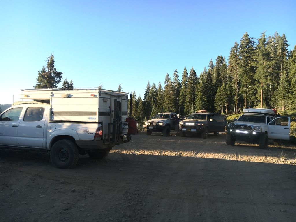
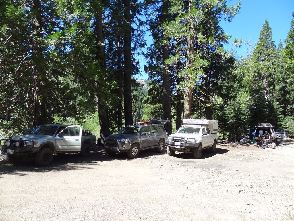
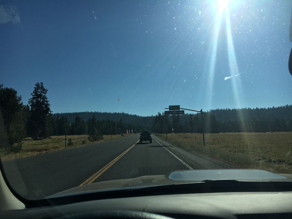
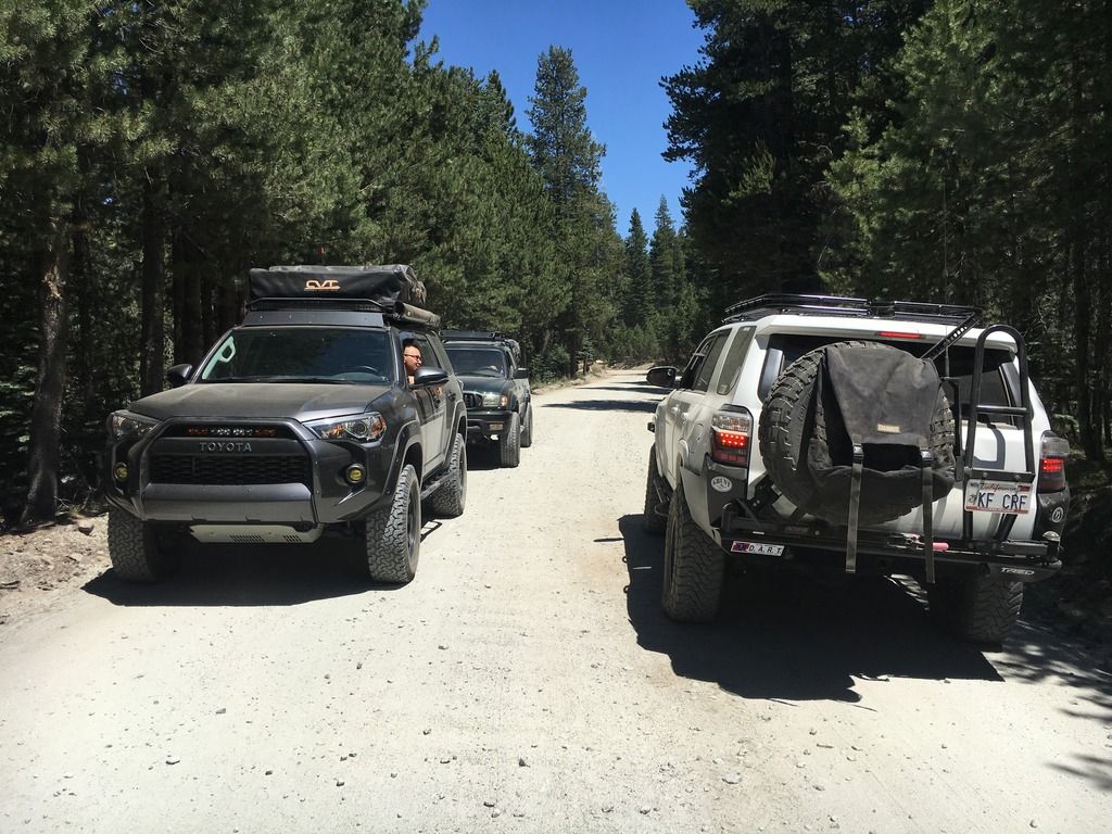
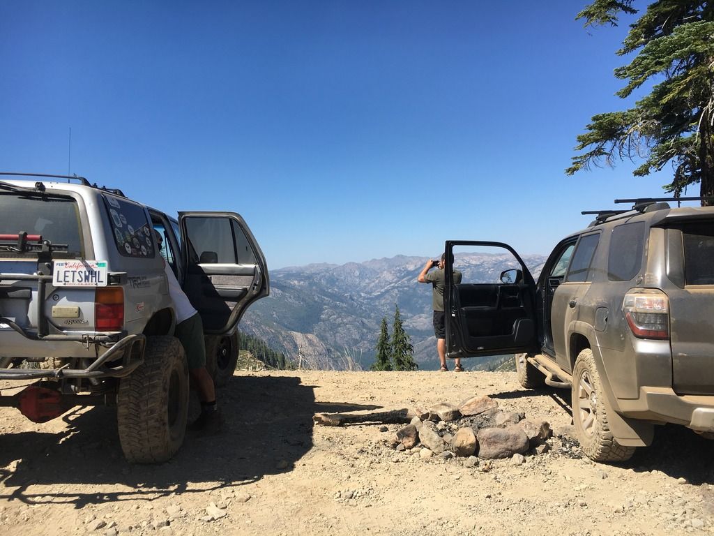
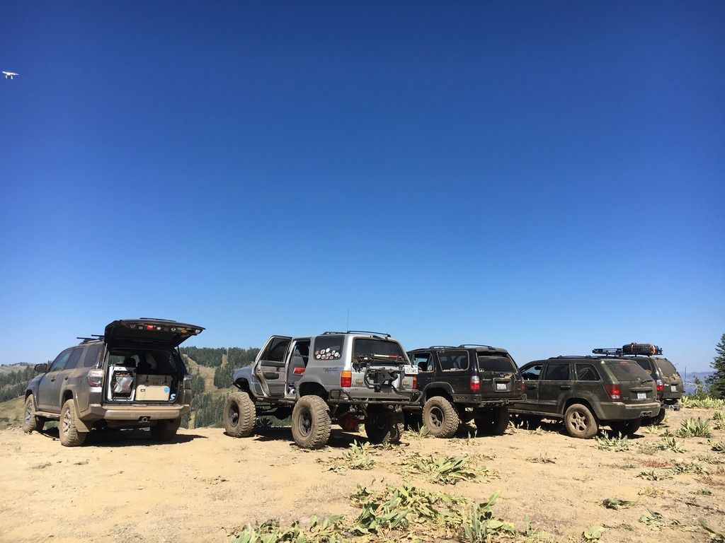
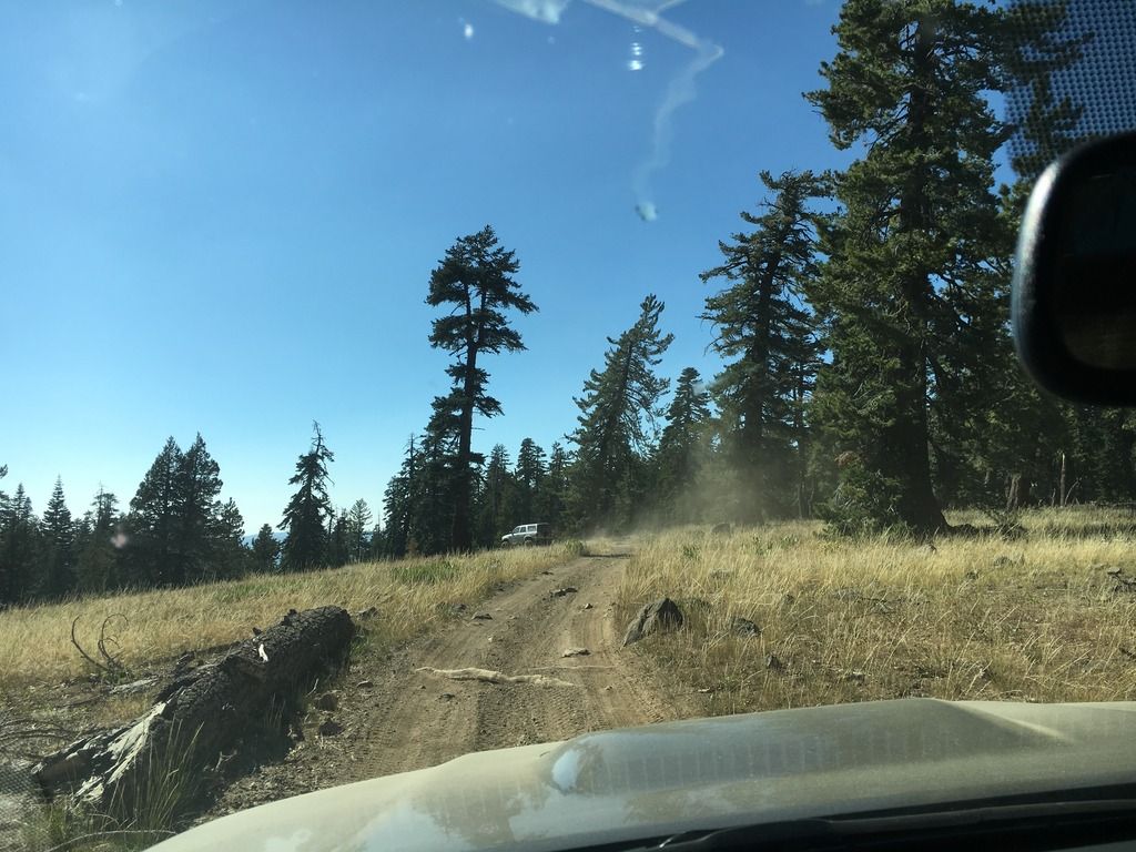
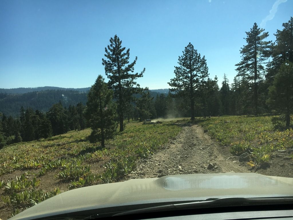
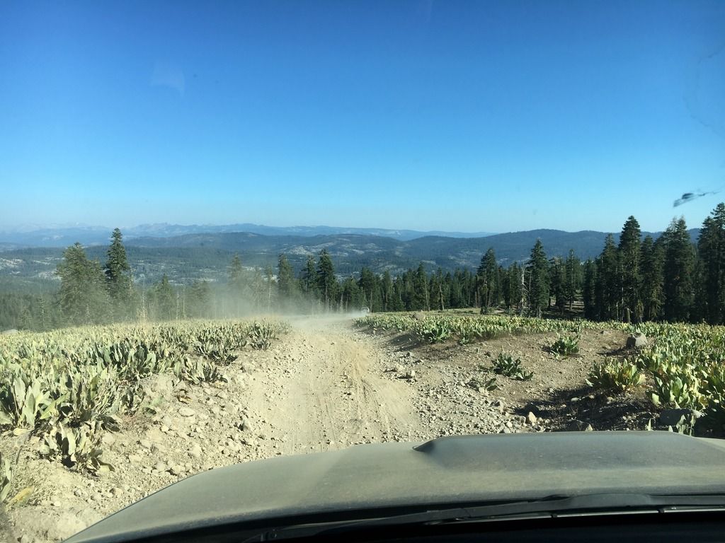
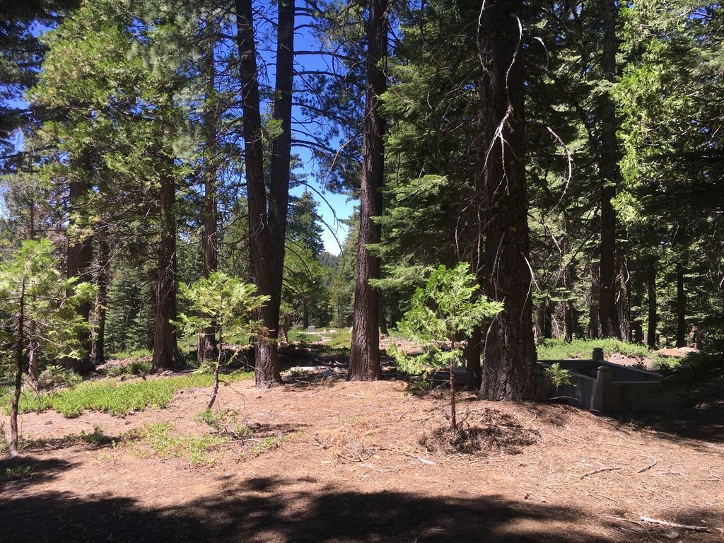
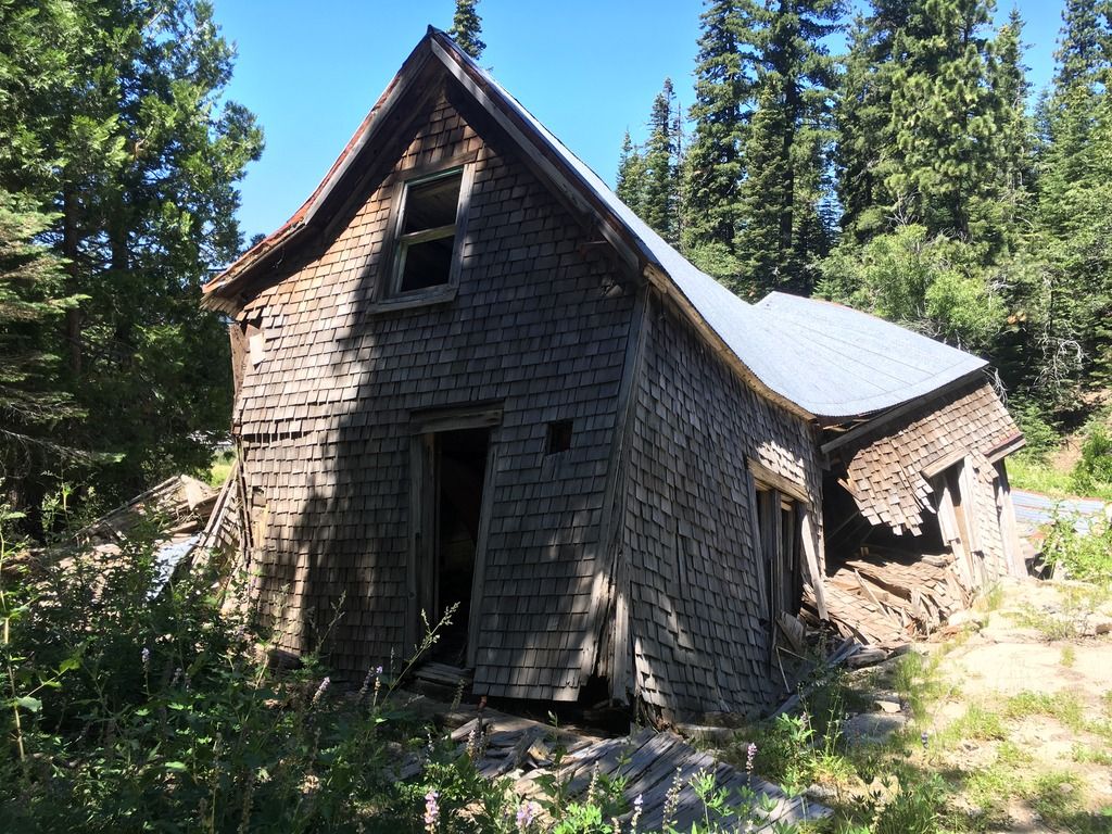
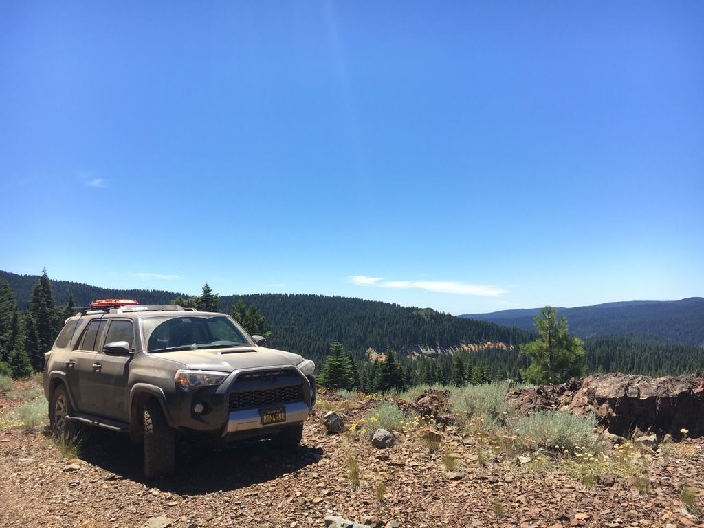
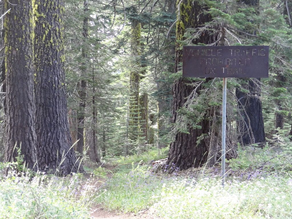
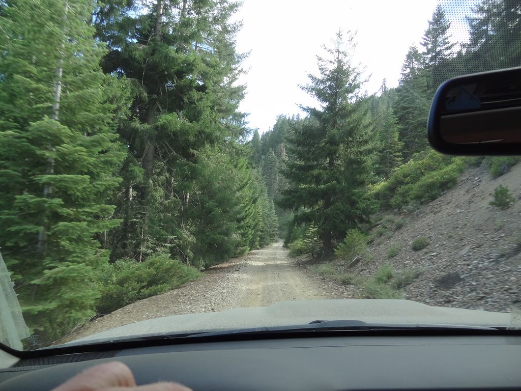
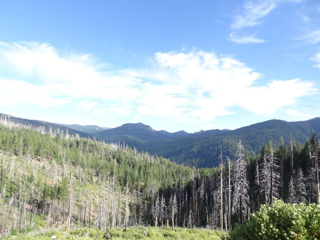
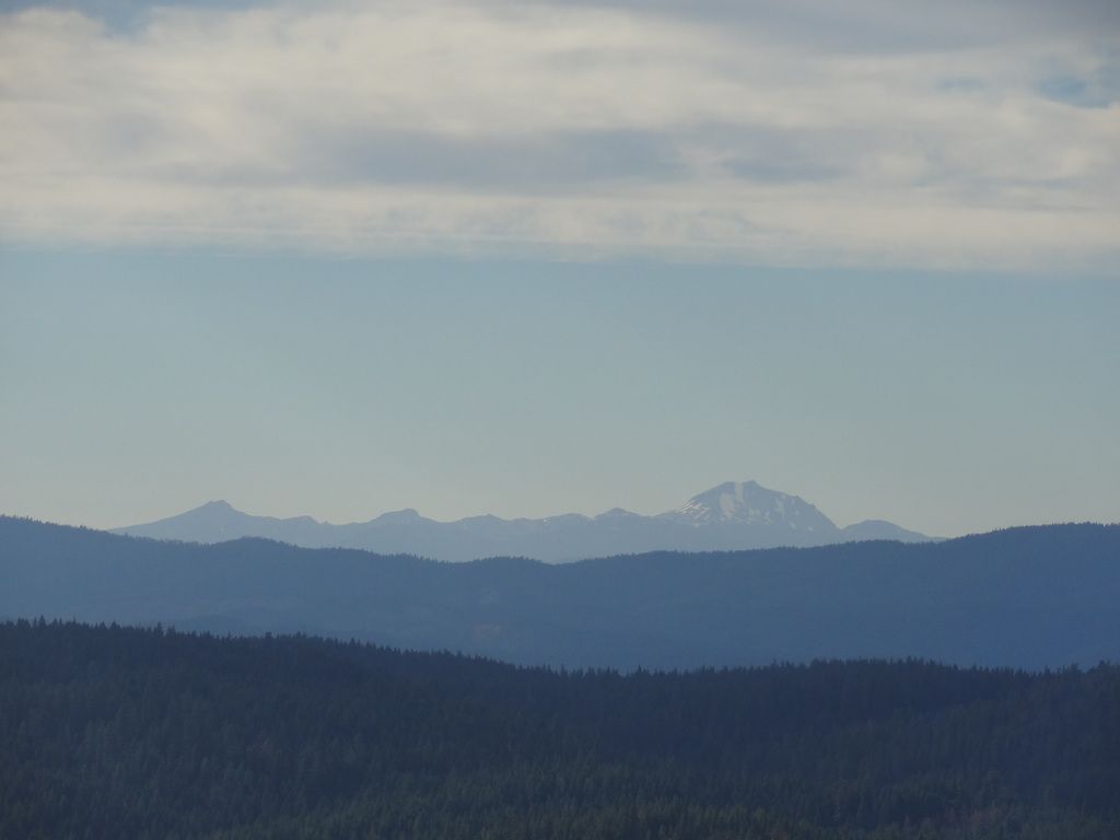
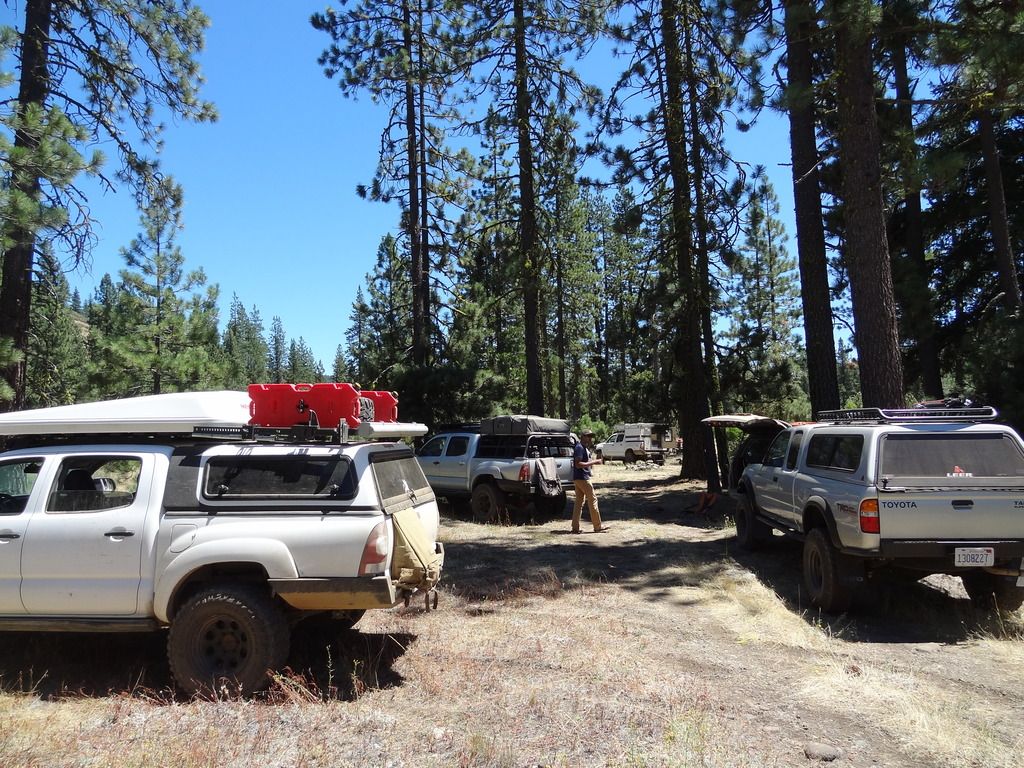
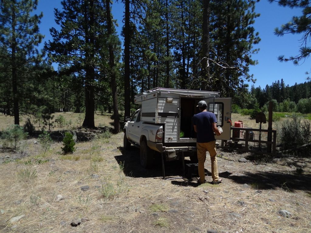
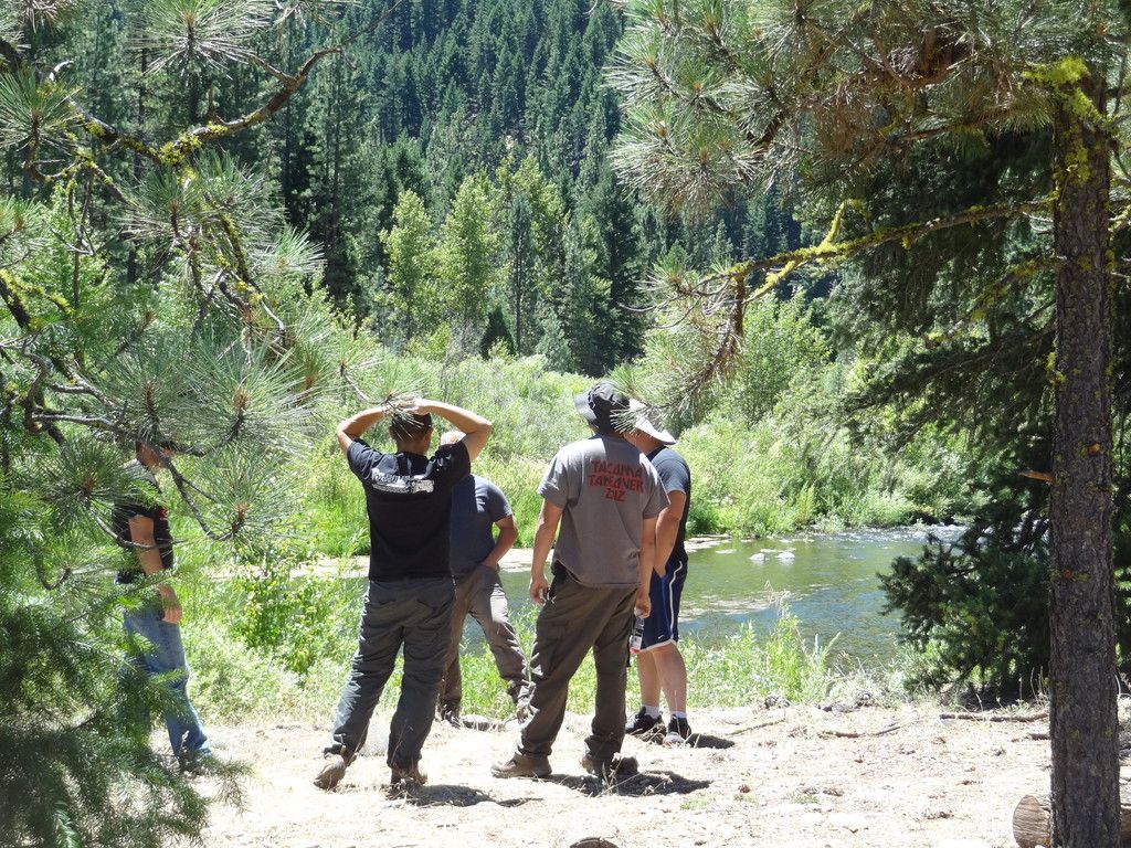
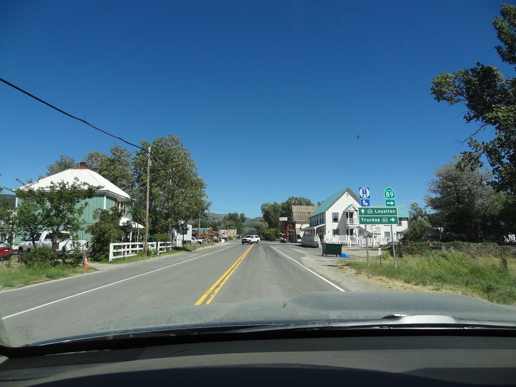
Sunday morning breaks, and we combine breakfast, coffee and clean-up into one motion. There were a couple of local guys in the campsite next to us at Poker Flat that gave us some good intel on the area. Andy talked to them about route planning, and I talked to them about good fishing in the area. All packed, we took a group photo, and hit the trail. The first leg was a 1,600’ climb out of the campground to the opposing ridgeline. It was a steep climb that followed a trail that had been carved into the mountain. Loose gravel, mud, roots and ruts. It was a great way to start the day. Our first stop for the morning was Howland Flat. A late 19th, early 20th century mining town that lays in ruin. We arrived at the cemetery first, meeting with our camping friends from the night before. We all looked around and visited the number of headstones remaining although according to our local friends there used to be many more as early as a few years ago. We still had many miles ahead, so we moved on. I would like to return to this area via La Porte again to spend some more time around the other buildings that remain in the area.
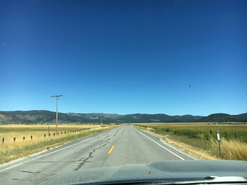
Sunday morning breaks, and we combine breakfast, coffee and clean-up into one motion. There were a couple of local guys in the campsite next to us at Poker Flat that gave us some good intel on the area. Andy talked to them about route planning, and I talked to them about good fishing in the area. All packed, we took a group photo, and hit the trail. The first leg was a 1,600’ climb out of the campground to the opposing ridgeline. It was a steep climb that followed a trail that had been carved into the mountain. Loose gravel, mud, roots and ruts. It was a great way to start the day. Our first stop for the morning was Howland Flat. A late 19th, early 20th century mining town that lays in ruin. We arrived at the cemetery first, meeting with our camping friends from the night before. We all looked around and visited the number of headstones remaining although according to our local friends there used to be many more as early as a few years ago. We still had many miles ahead, so we moved on. I would like to return to this area via La Porte again to spend some more time around the other buildings that remain in the area.
")