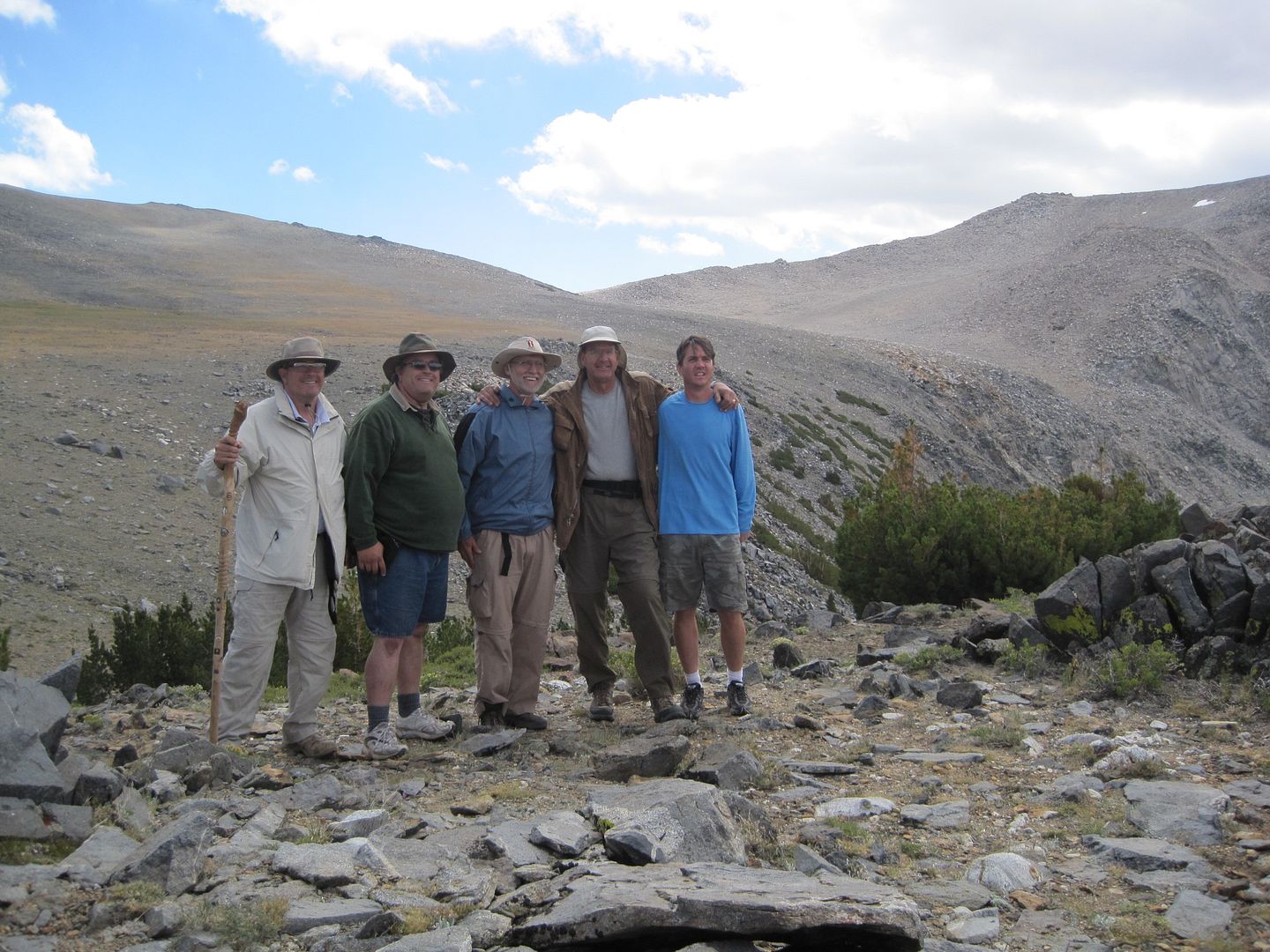
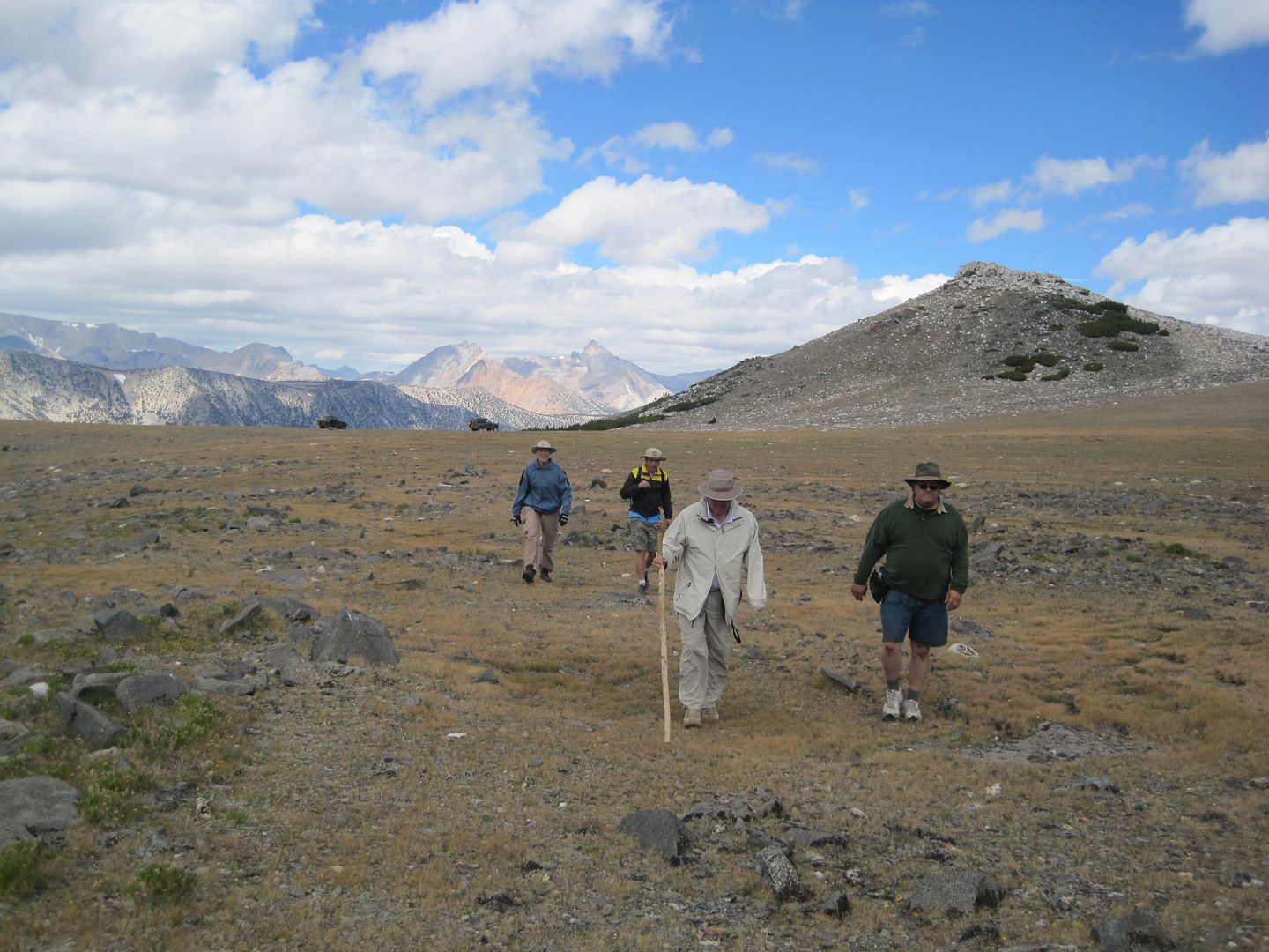
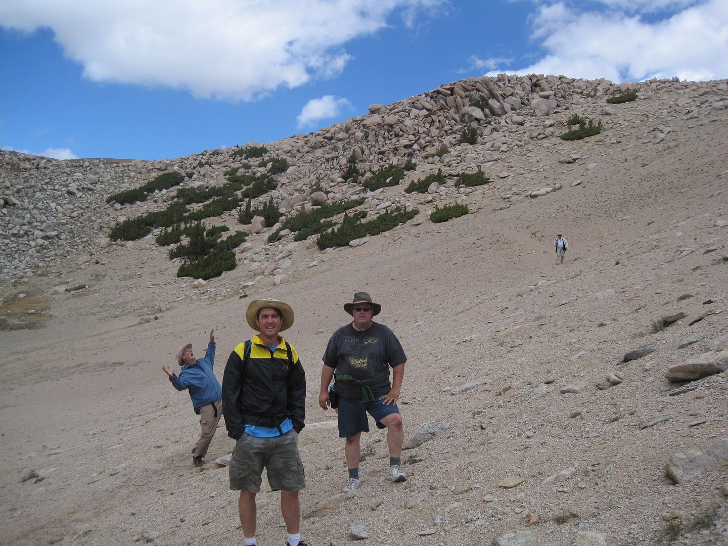
Coyote Flat, CA (5-days)

kellymoe

Expedition Leader
Fished Baker Creek with a fly rod and Hidden Lake with fly and spinning set up.
I fished the middle of Hidden Lake with my pack raft but had very little luck at Hidden Lake even with the boat. Last month I fished Baker Lake and did pretty good with a fly from shore and from my raft.


So jealous I didn't get to go yet. What waters did you fish?
 

kellymoe

Expedition Leader
Found out more today on the closures and it does not look good, at least for me. The closures are part of a wide spread wilderness plan to close roads in wilderness areas. It sounds like several roads in the Coyote Flats area were chosen to close as well as several in the White Mountains and the Inyo Mountains. The Papoose Flat area in the Inyo's was impacted as well as the Crooked Creek and Cottonwood Creek areas in the White Mountains. The roads that are in question are not seldom used roads but roads that have been used for years. Some roads were left open that I would have assumed closed because of fragile soil and habitat but instead they chose to close some of the most traveled roads. It seems like the NFS is trying to discourage use by closing the more popular roads in hopes that people will lose interest and go somewhere else.
 

Mlachica

TheRAMadaINN on Instagram
Awe that's not good. Any word on funnel lake? I called the ranger station today to find out about the closures and was left on hold for several minutes and had to hang up.

I just started fly fishing this year and was really looking forward to returning there with my new gear. :-(
 

Explorer 1

Explorer 1
SMB on Coyote Flats

That sucks, no other way to put it.
Quick question: Can you get a full size up there (SMB)? It's been years since I have been there and I was only there once.

I lead a group up there in my SMB EB last year. You should have no problem going up the front way out of Bishop.

As for the view south looking down toward Lone Pine, I think all you could see from there is to Independence and this route would have been too difficult for a stock Cherokee.

I was up there a few weeks ago and didn't notice any closures, but then I didn't go everywhere. Hunting season was just starting and I've never seen so many people, ATV,s , Trucks, and large tents before.

Did the hike from the top of Green Lake over the pass and down to Baker Creek camping area, was a great day hike.

IMG_0241.jpg


IMG_0242.jpg


IMG_0243.jpg


Thanks for sharing,

Fred
Explorer 1 & 2
 

Mlachica

TheRAMadaINN on Instagram
Found out more today on the closures and it does not look good, at least for me. The closures are part of a wide spread wilderness plan to close roads in wilderness areas. It sounds like several roads in the Coyote Flats area were chosen to close as well as several in the White Mountains and the Inyo Mountains. The Papoose Flat area in the Inyo's was impacted as well as the Crooked Creek and Cottonwood Creek areas in the White Mountains. The roads that are in question are not seldom used roads but roads that have been used for years. Some roads were left open that I would have assumed closed because of fragile soil and habitat but instead they chose to close some of the most traveled roads. It seems like the NFS is trying to discourage use by closing the more popular roads in hopes that people will lose interest and go somewhere else.

Where were you able to obtain this info? I called the ranger station to get some detailed info and she was unable to give me road specific info because these closures were not by the usfs. She's only heard of these closures from visitors. She also didn't know where to find any other details. Who else is allowed to close fs roads on usfs land?
 

kellymoe

Expedition Leader
I also called the ranger station and they have not been informed yet as the closures are so new. I spoke yesterday with the person who has the final word on all closures at least with the Forest Service he is very sympathetic to those affected by the new closures. I will be speaking with him again about the specific closure at Baker Creek. He is unable to get to all closure sights himself and asked for more knowledgable insight into that specific area and that specific road. He told me that while the trail study and closures are final he still may be able to do something to help out. I'm keeping my fingers crossed. He is a really great guy with tons of back country experience and climbing experience. He held the record for a time for the fastest car to car climb of Whitney, something like 3.5 hours. Not that that has anything to do with the closures but still impressive:sombrero:


Where were you able to obtain this info? I called the ranger station to get some detailed info and she was unable to give me road specific info because these closures were not by the usfs. She's only heard of these closures from visitors. She also didn't know where to find any other details. Who else is allowed to close fs roads on usfs land?
 

kellymoe

Expedition Leader
For those of you familiar with Coyote Flats and would like to send a letter to the Inyo Nat. Forest Supervisor to express your concern over the closure of Route N2217 the short road that accesses the lower meadow campsite, the address is:

Jim Upchurch, Inyo National Forest Supervisor
351 Pacu Lane
Bishop CA 93514

Please be courteous and polite in your letter. I gave a solution of placing a barricade at the meadow to prevent knuckleheads from driving on the grass or placing a barricade on the road just prior to the meadow which would still allow camping close by but eliminate motorized traffic near the meadow.

Every letter counts.
Below is a link to the proposed closures.

http://www.fs.usda.gov/wps/portal/f...&groupid=17479&ttype=projectdetail&pname=Inyo National Forest- Projects
 

Forum statistics

Threads
188,530
Messages
2,906,287
Members
230,547
Latest member
FiscAnd
Top