Hun
Expedition historian
Day 9 - Rock Creek Road
6/26 Monday
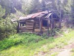
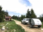
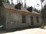
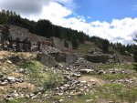
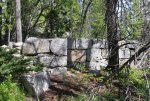
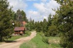
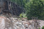
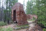
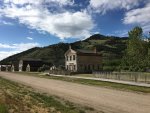
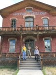
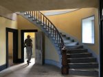
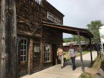
We awoke to a cool, brisk morning, had scrambled eggs for breakfast and then it was hugs all around for F., D., and G.'s departure to find Alaska. We backtracked with G., and K. up Bear Gulch Road (single lane steep incline) to Garnet Ghost Town and walked along the interpretative trail among the placer gold mines.

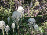
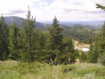
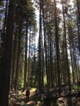
Some mine shafts as deep as 100 feet still remain although they are now completely water-filled. Halfway through the hike, we entered a spruce forest with trees towering some 80 to 100 feet high.
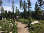

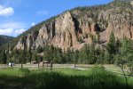
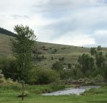
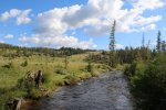
After the 20-minute hike, which took us one hour and one half, we headed west to find passage through the mountain. We were stopped by a locked gate atop Union peak and decided it was a good place to break out the picnic baskets and have some lunch. Heading down another route looking for passage we were stopped yet again by a locked gate so we resorted to making our way to Highway 200 west to Bonner outside of Missoula. We fueled up in Bonner and found Interstate 90 eastbound for a short drive to find Rock Creek Road. Rock Creek Road follows Rock Creek, infamous for trout fishing, through a valley in Lolo National Forest. Rock Creek is a wide, shallow creek with fast moving water. It was dotted with fly fisherman along the 30 mile stretch we travelled.


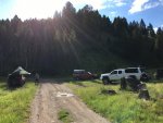
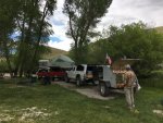
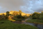
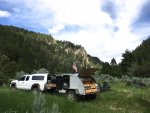
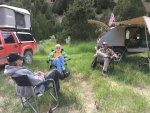
We stopped for the night at Stoneycreek, camping on the edge of Rock Creek.
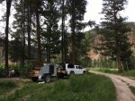
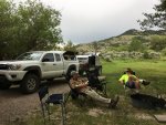
I whipped up a dish of black beans and rice with chicken while Scott changed the oil in the truck (it was time, afterall!). We took early showers and built the campfire to enjoy before the storm rolled in which chased us to bed early.
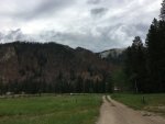
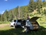
So with the sound of the nearby rushing creek, the thunder rolling in, and the rain on our teardrop we drifted off to sleep. (52138, nearly 100 miles)
6/26 Monday
We awoke to a cool, brisk morning, had scrambled eggs for breakfast and then it was hugs all around for F., D., and G.'s departure to find Alaska. We backtracked with G., and K. up Bear Gulch Road (single lane steep incline) to Garnet Ghost Town and walked along the interpretative trail among the placer gold mines.


Some mine shafts as deep as 100 feet still remain although they are now completely water-filled. Halfway through the hike, we entered a spruce forest with trees towering some 80 to 100 feet high.


After the 20-minute hike, which took us one hour and one half, we headed west to find passage through the mountain. We were stopped by a locked gate atop Union peak and decided it was a good place to break out the picnic baskets and have some lunch. Heading down another route looking for passage we were stopped yet again by a locked gate so we resorted to making our way to Highway 200 west to Bonner outside of Missoula. We fueled up in Bonner and found Interstate 90 eastbound for a short drive to find Rock Creek Road. Rock Creek Road follows Rock Creek, infamous for trout fishing, through a valley in Lolo National Forest. Rock Creek is a wide, shallow creek with fast moving water. It was dotted with fly fisherman along the 30 mile stretch we travelled.


We stopped for the night at Stoneycreek, camping on the edge of Rock Creek.

I whipped up a dish of black beans and rice with chicken while Scott changed the oil in the truck (it was time, afterall!). We took early showers and built the campfire to enjoy before the storm rolled in which chased us to bed early.

So with the sound of the nearby rushing creek, the thunder rolling in, and the rain on our teardrop we drifted off to sleep. (52138, nearly 100 miles)


