ttora4runner
Expedition Leader
Day 1
With all the trips that I've done in the past few years this one had me the most nervous/apprehensive as to if I should even go. Why, I don't know.
With in the past year I've seen a few trip reports on Dinosaur National Monument on the Utah/Colorado border and some of the surrounding areas. I had been to this area as a little kid while on vacation but we never stop into the park itself only at the visitors center (my mother had to tell me this since I had to memory of it, only after did I remember). So this past Labor Day I decided to pack up and head out of dodge to areas less visited. The original plan was to leave Friday night and camp some where once I got out but after working a full day and still needing to pack I decided against it and just to leave early in the morning. Early in the morning as in 4am. Unfortunately, for me I tend to wake up early when I have things planned for the following day, so up at 3am :Wow1: (energy drink #1 :coffeedrink") .
.
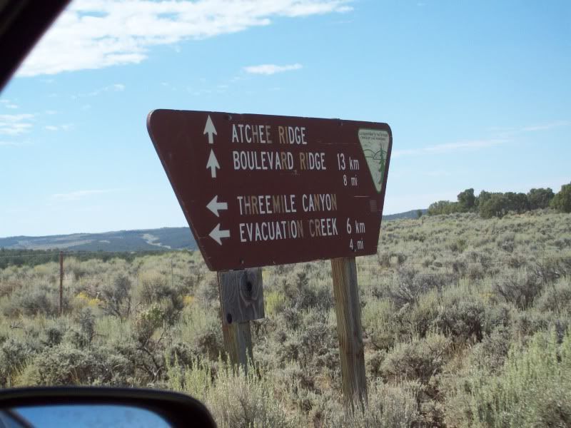
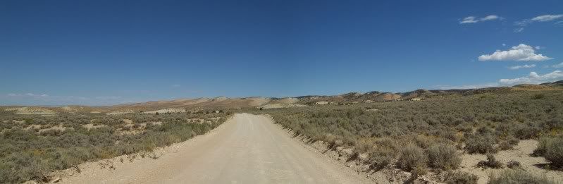
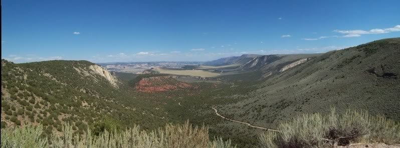
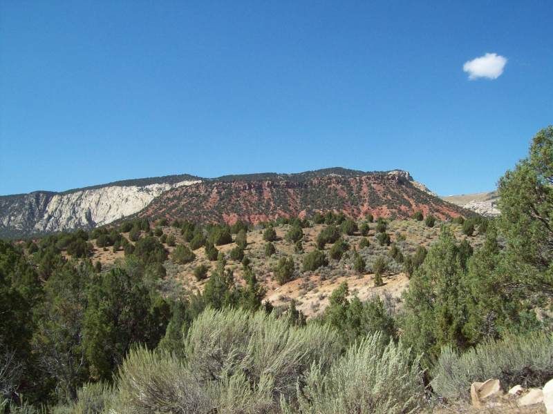
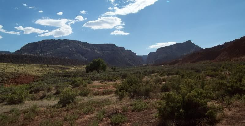
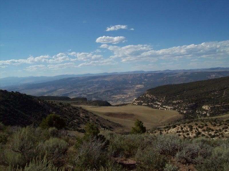
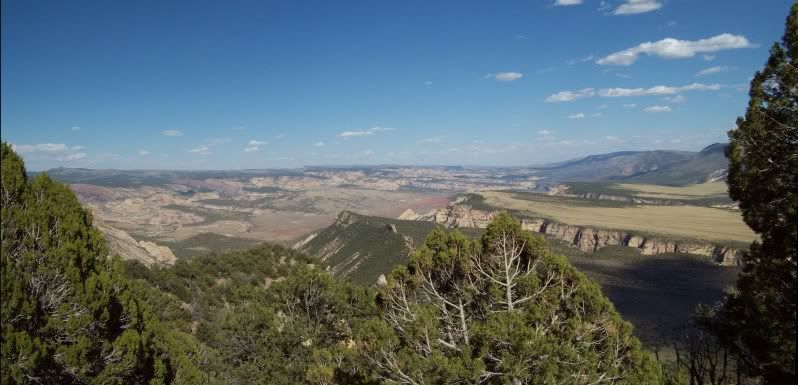
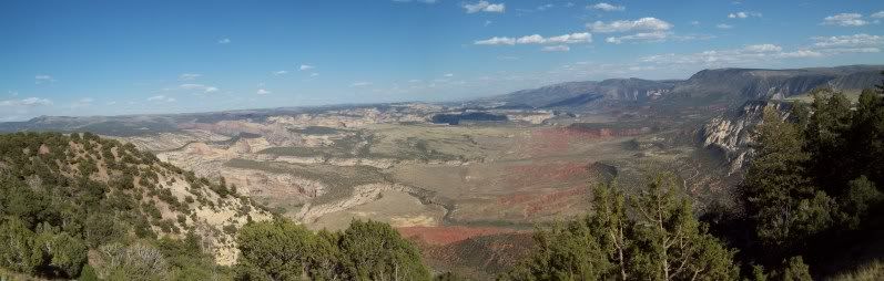
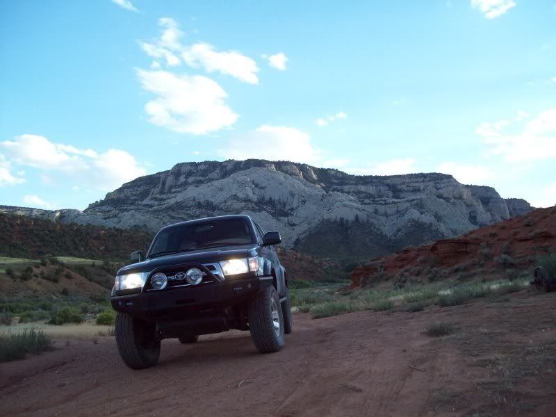
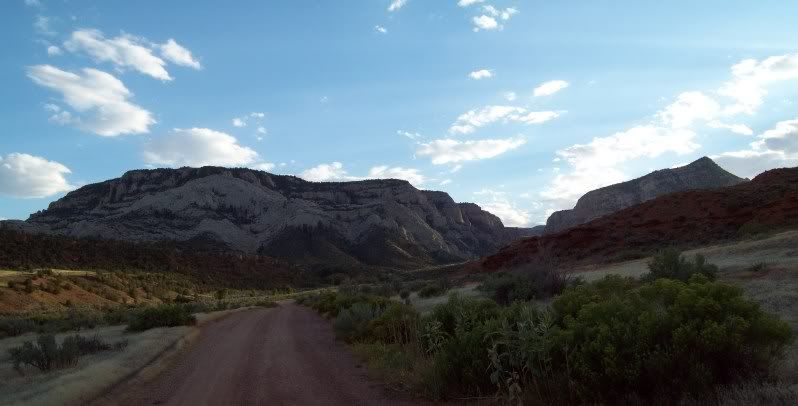
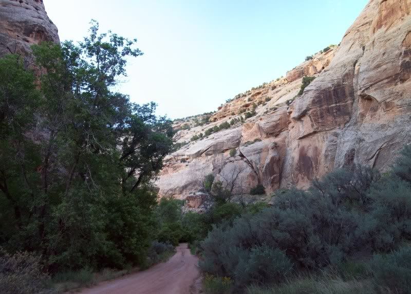
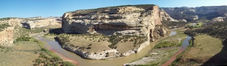
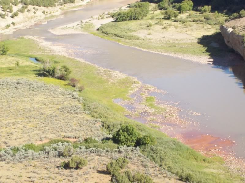
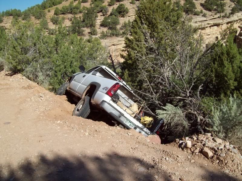
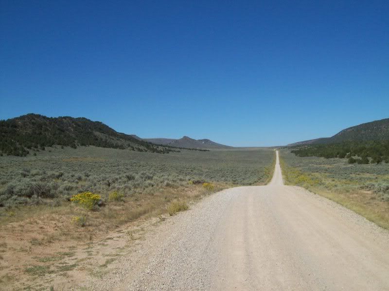
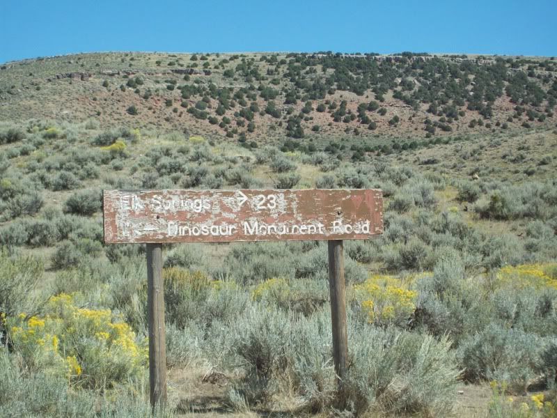
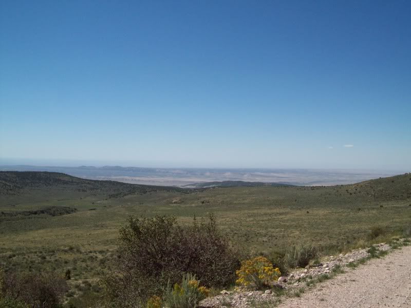
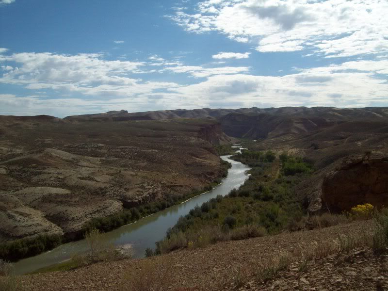
After finishing some quick last minute packing (cooler and some miscellaneous items) I was out the door on my way. Only, to get sick about 45 minutes into it (won't go into details) which made for a long drive into Vernal (energy drink #2 was consumed in Roosevelt :coffeedrink. After, making into Vernal and filling up with gas+5 gallon jerry can. I was office to Visitor Center on the Utah side to grab a map of the area and to check the road conditions. I think I came off a little smug when the ranger was telling me about the road conditions when the area was wet and of the rocky trail on Yampa Bench Road. Only later would I understand what she meant about the wet roads (see day #2).
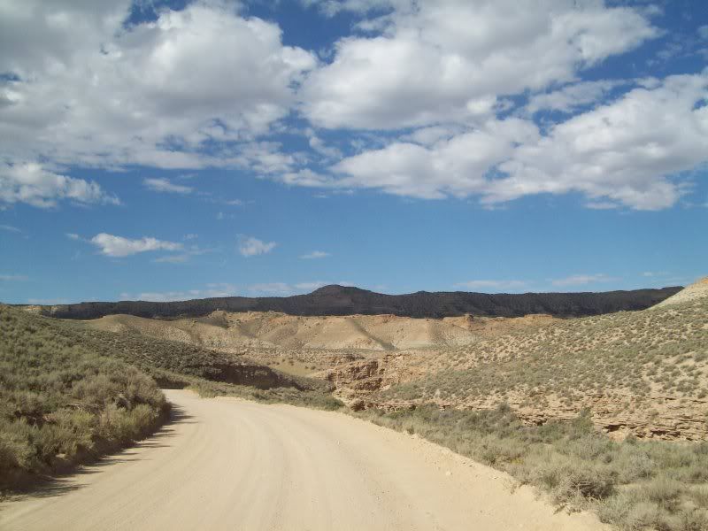
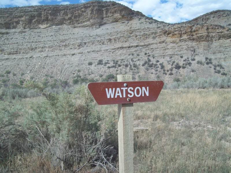
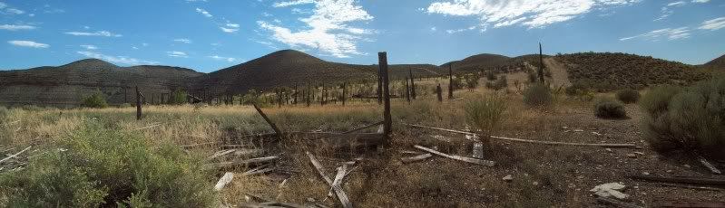
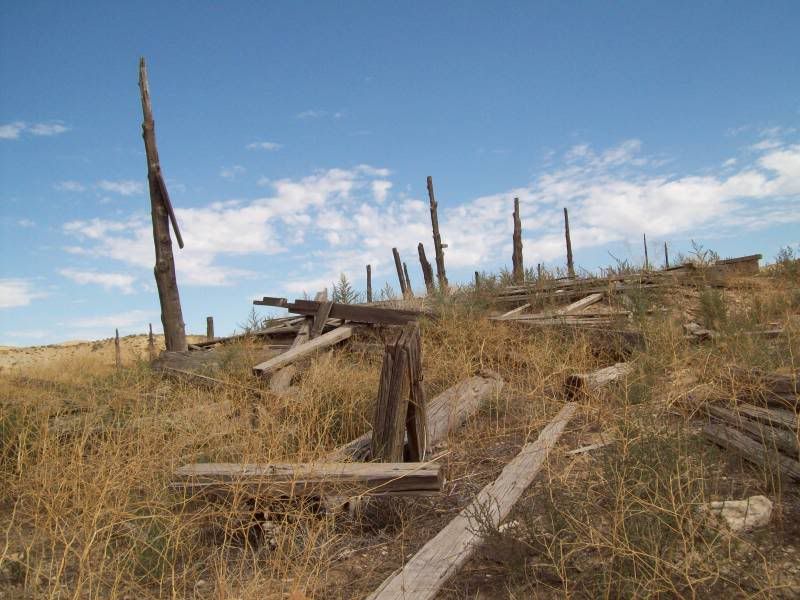
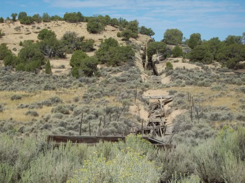
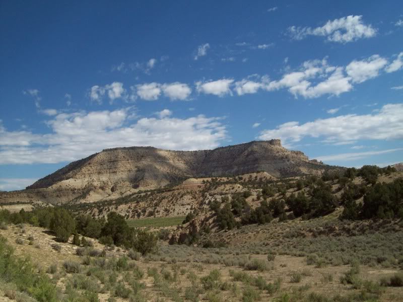
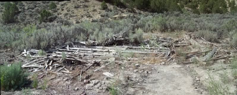
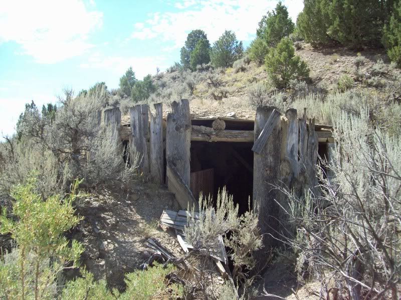
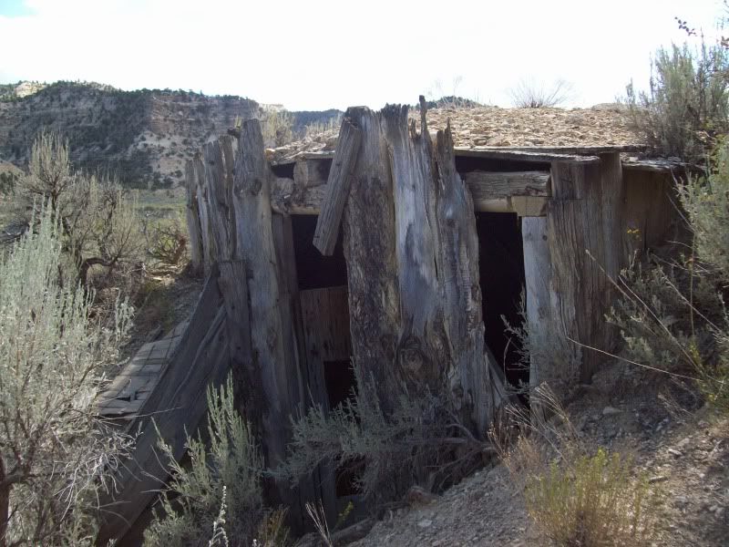
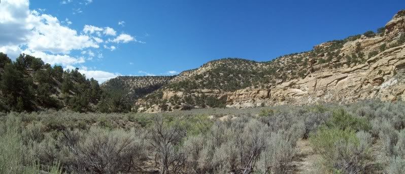
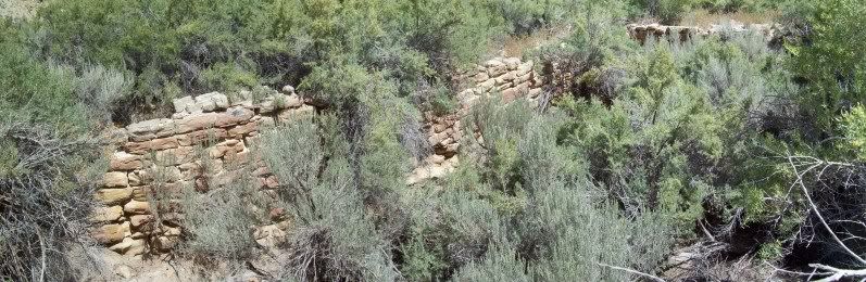
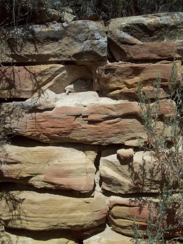
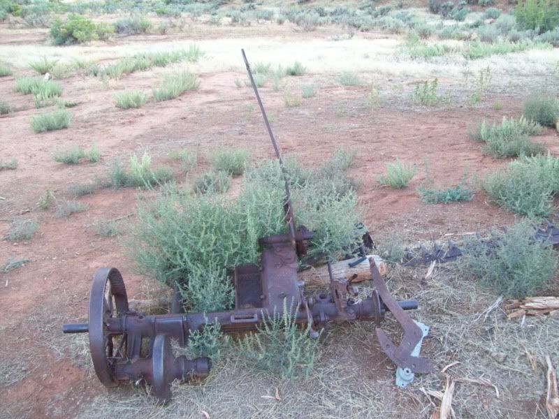
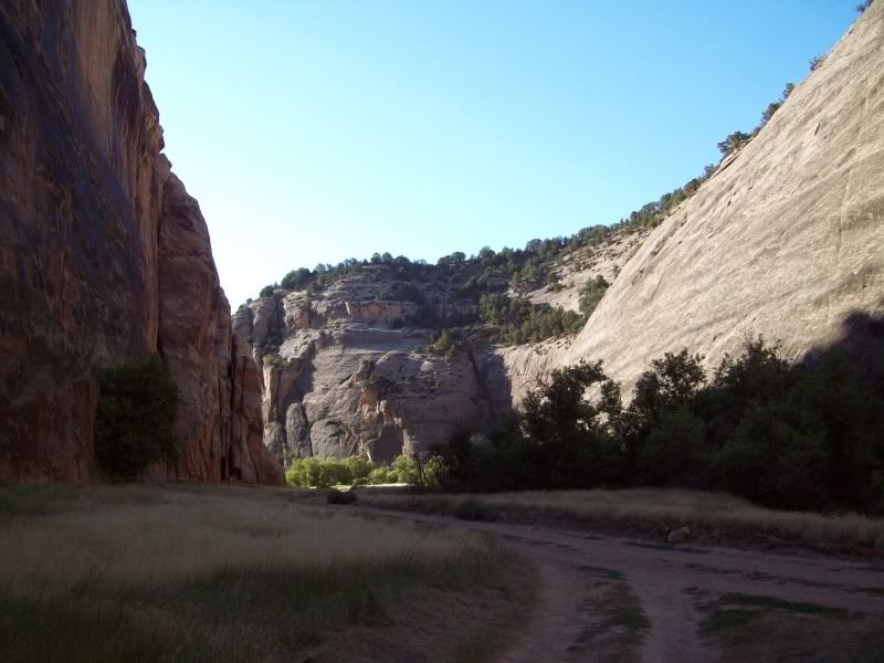
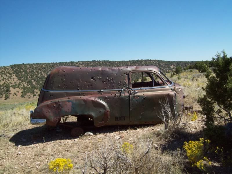
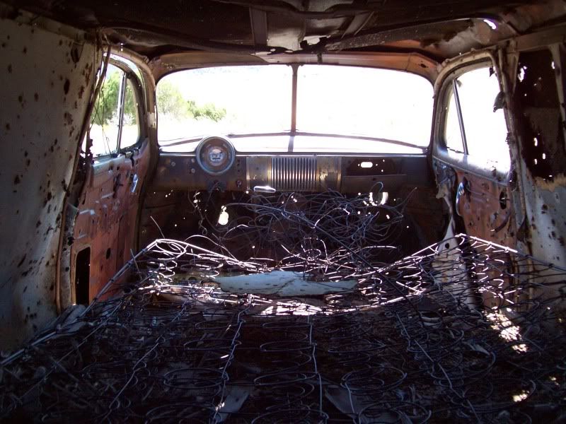
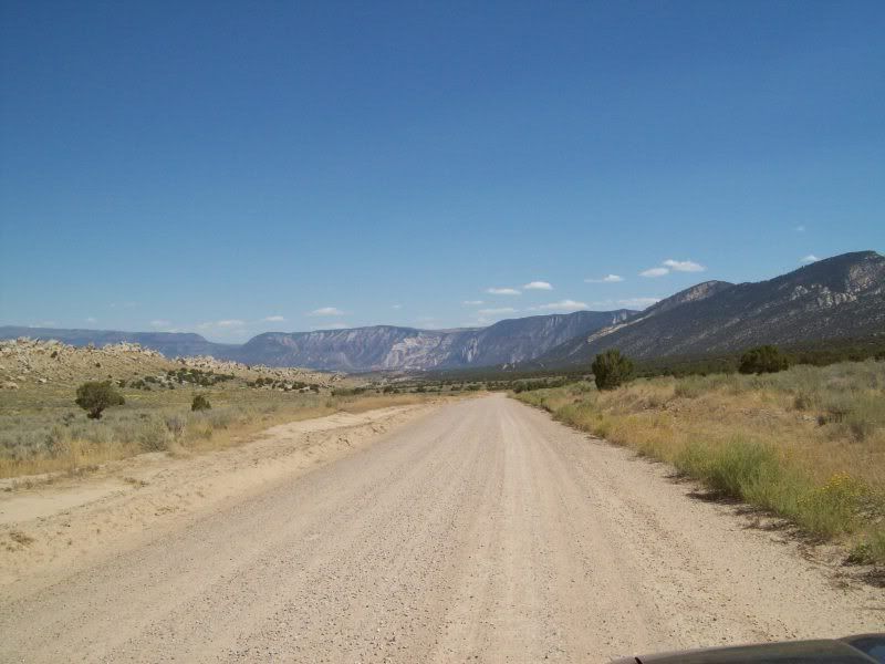
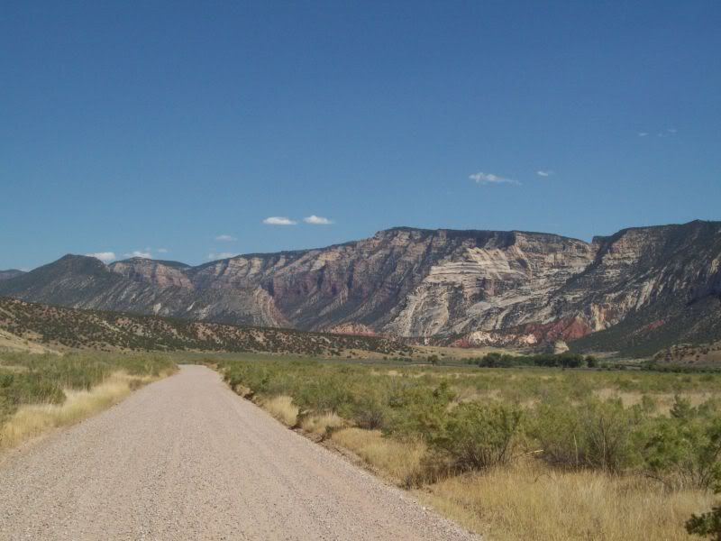
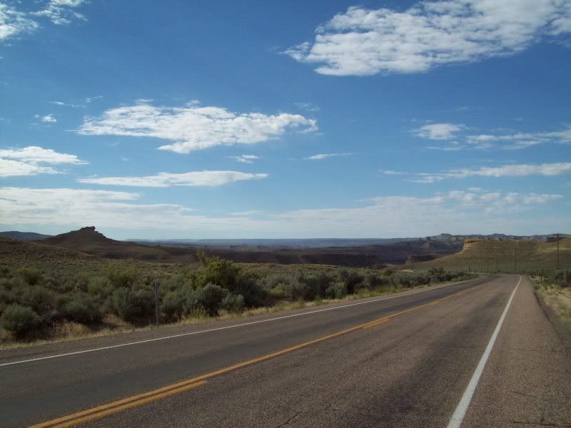
So after that I was headed on out to the first stop along the way “Watson, Utah” or what is left of it but not without a stop or two.
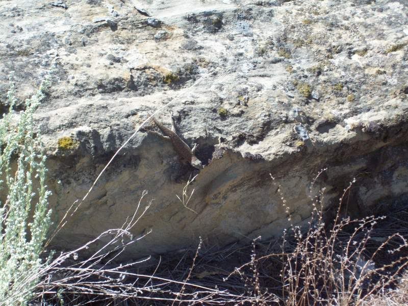
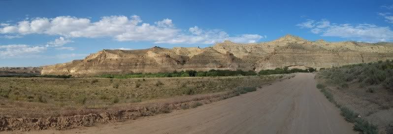
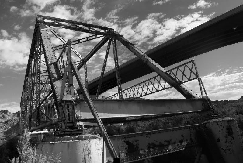
Along the “Old Bonanza Highway”
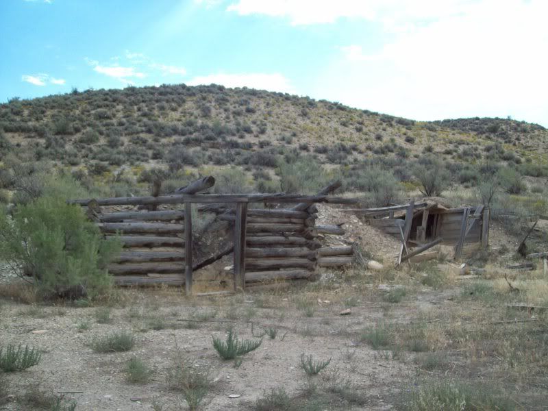
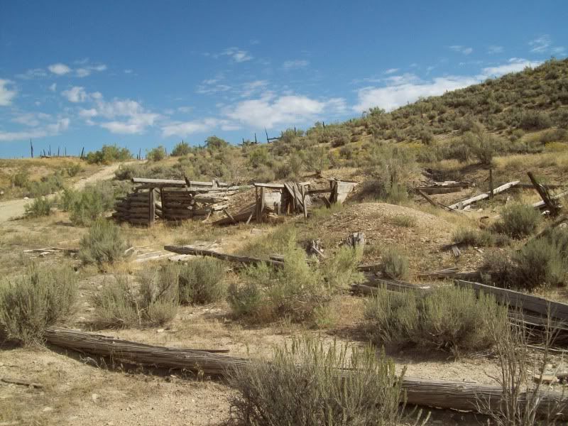
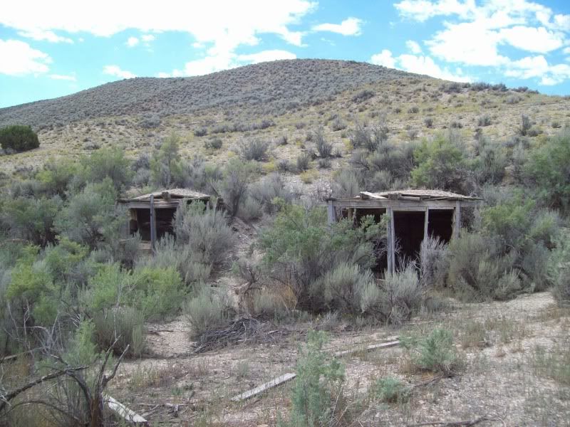
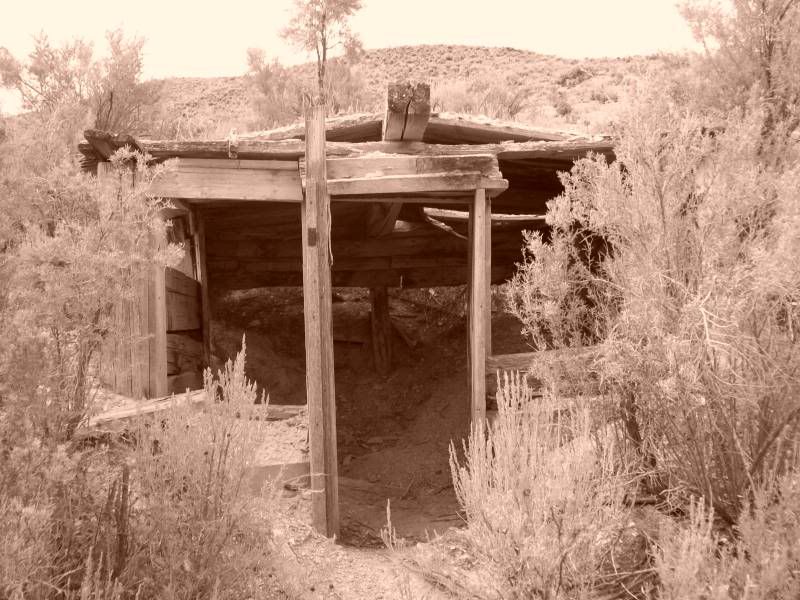
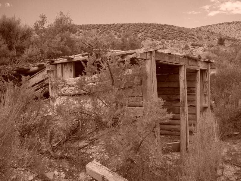
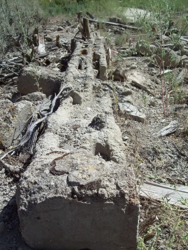
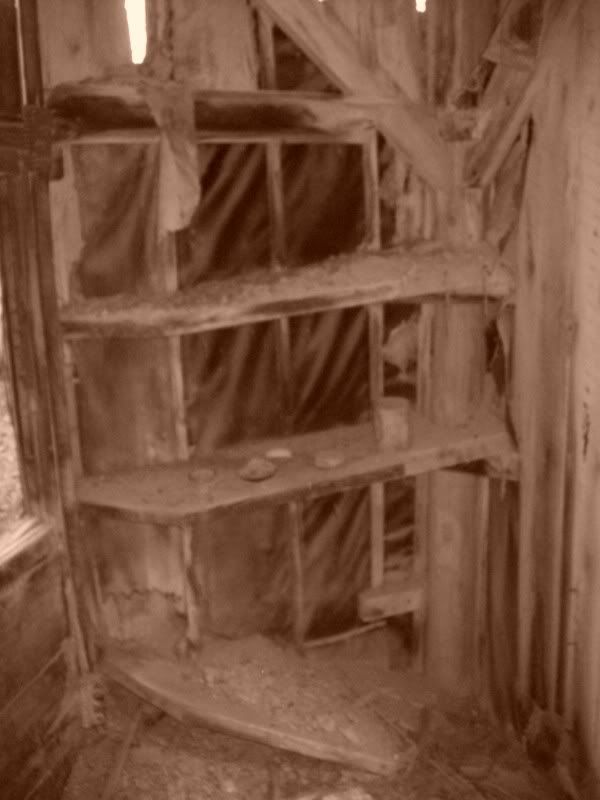
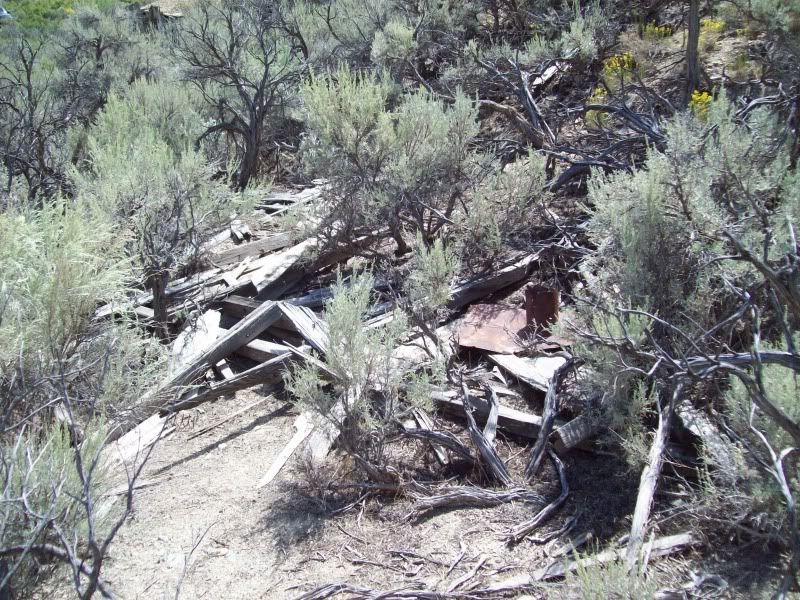
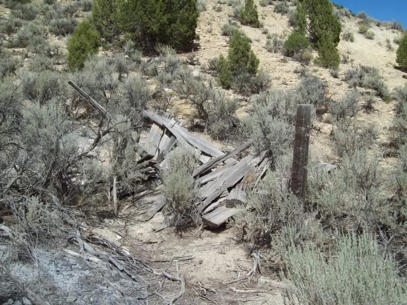
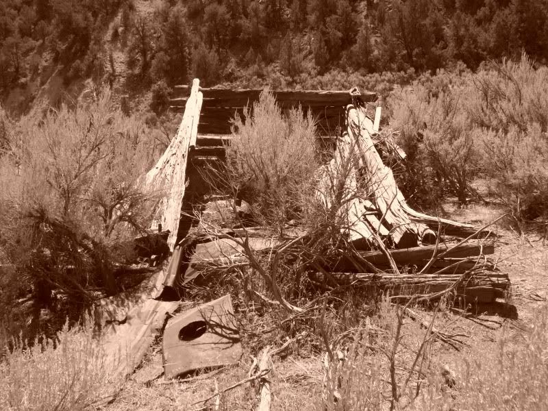
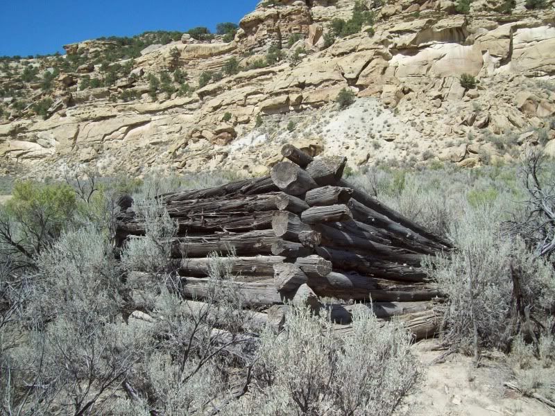
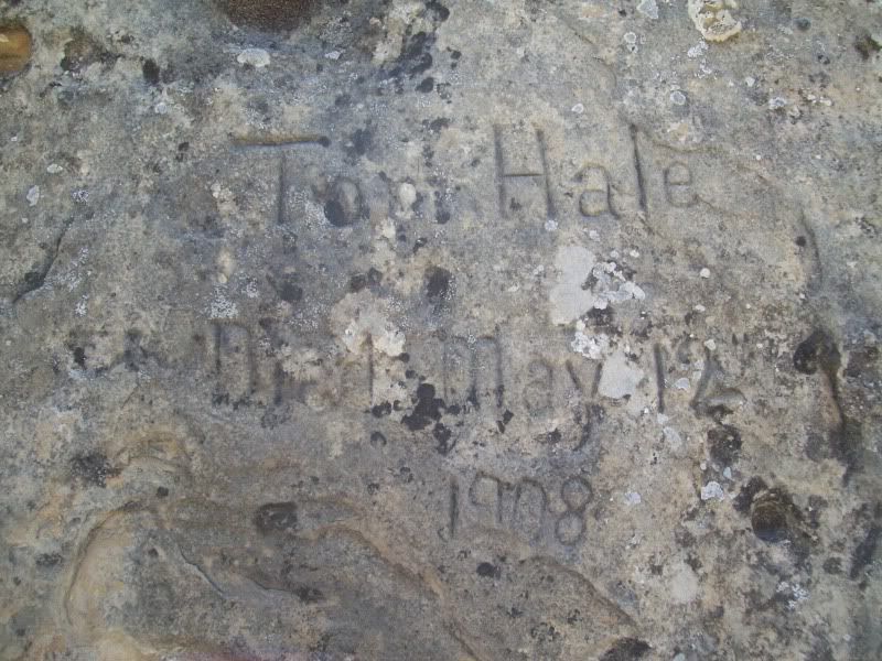
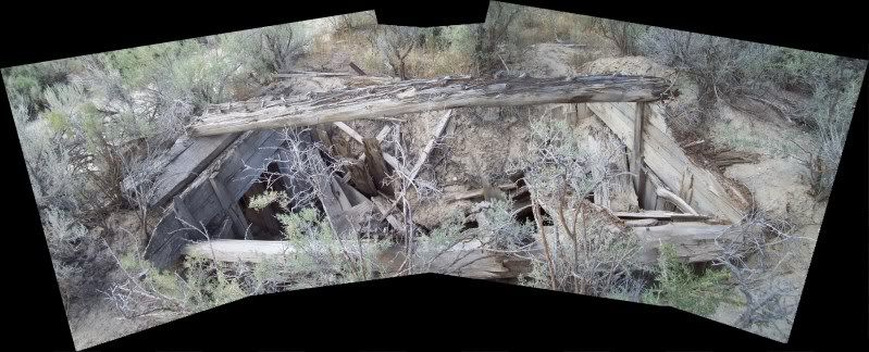
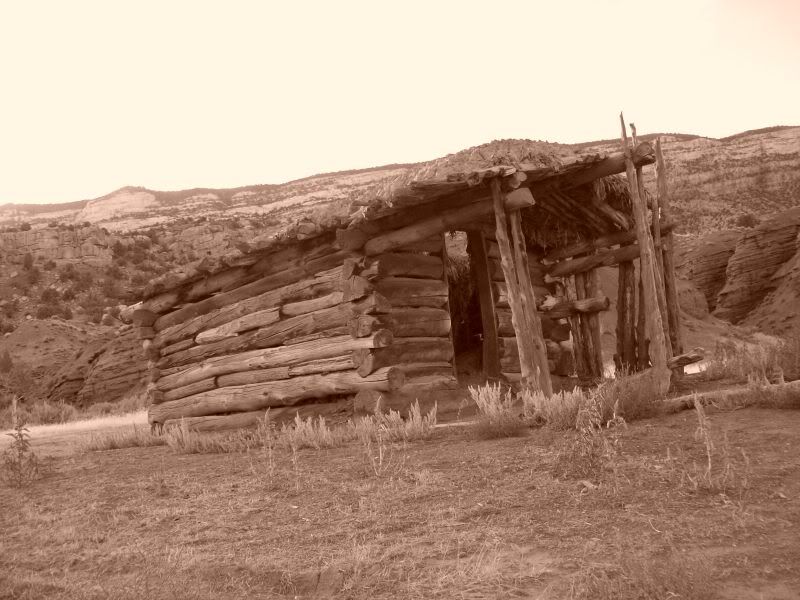
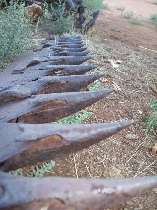
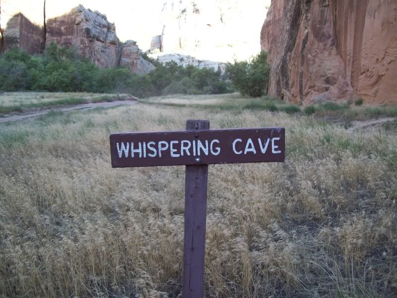
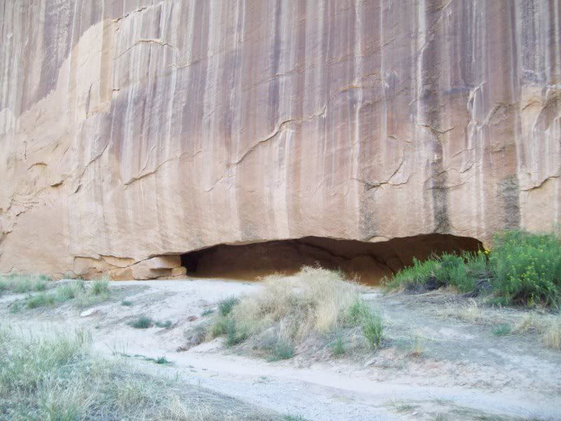
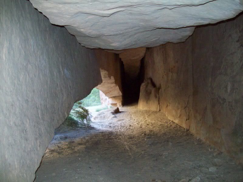
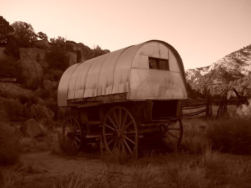
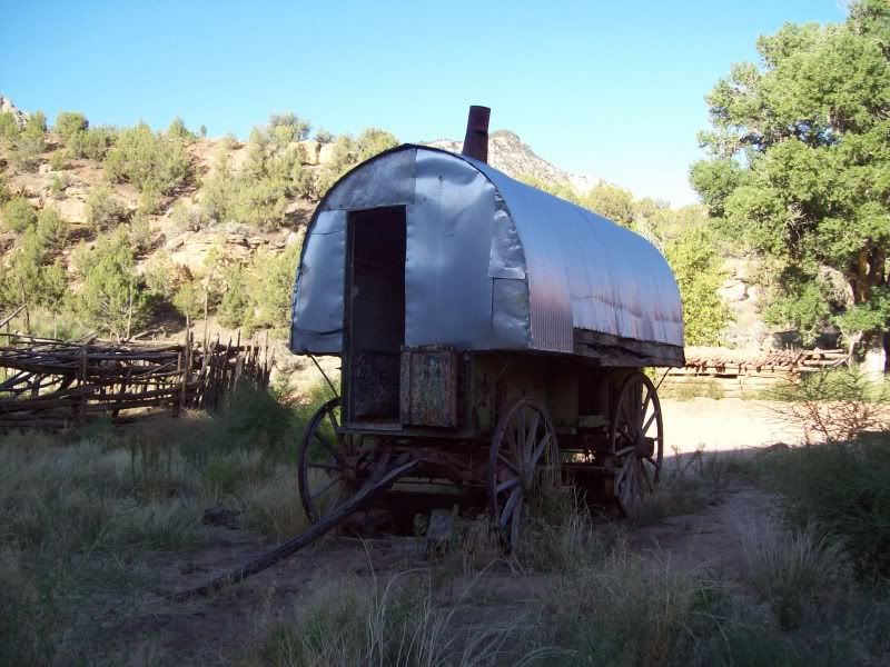
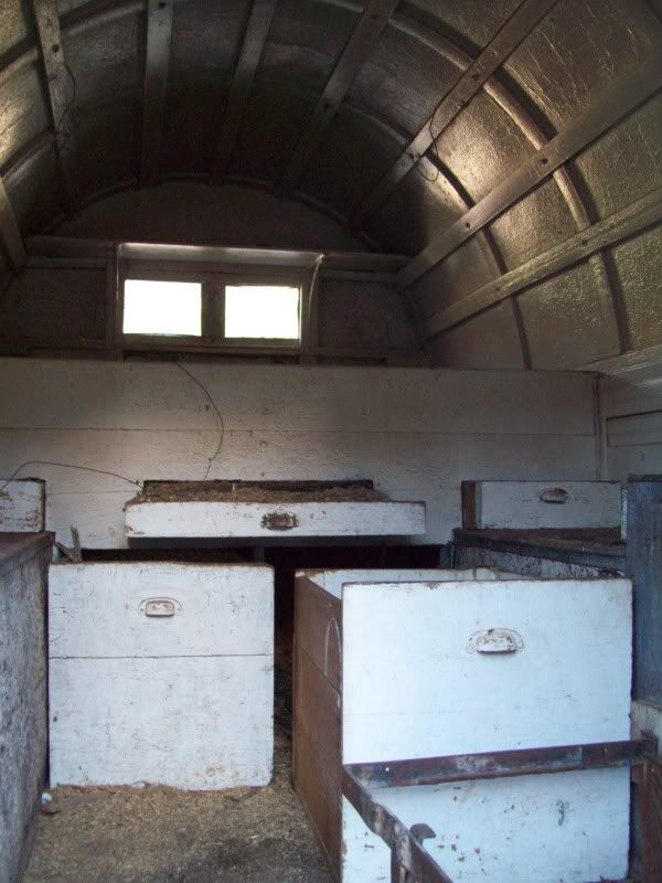
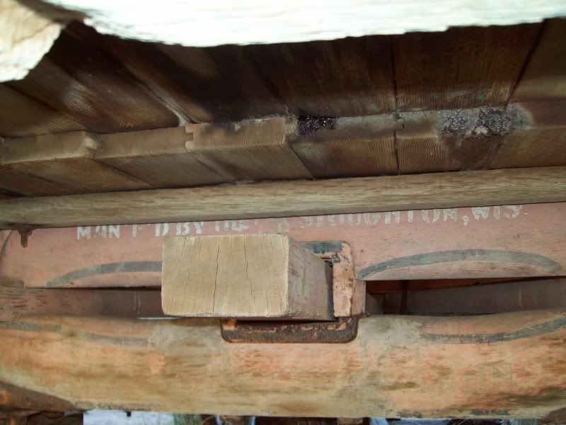
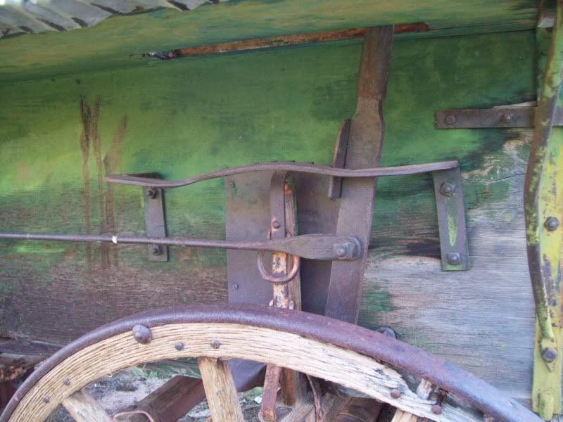
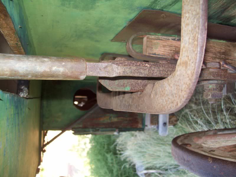
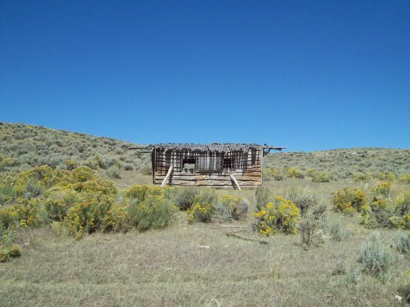
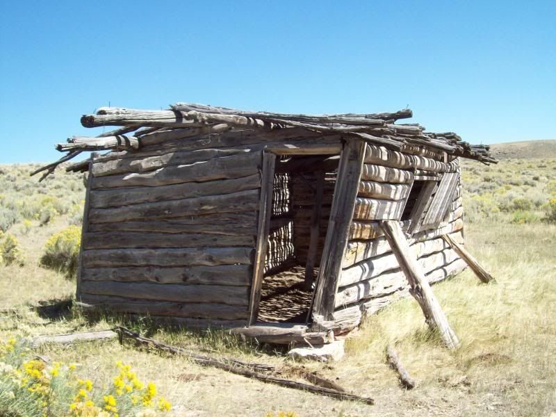
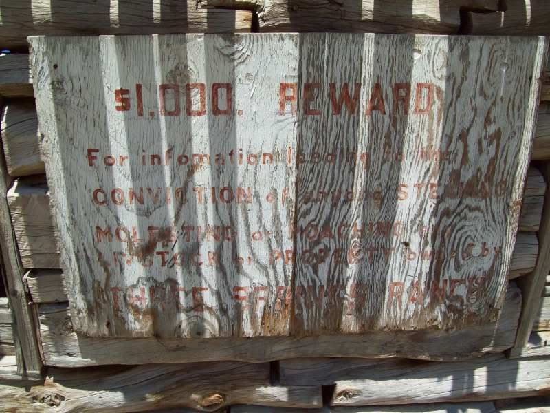
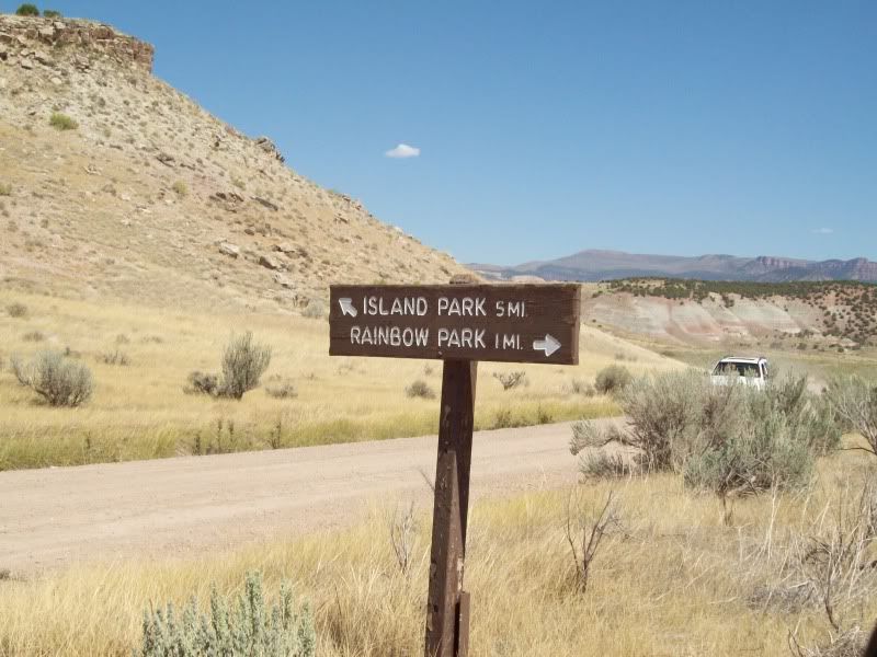
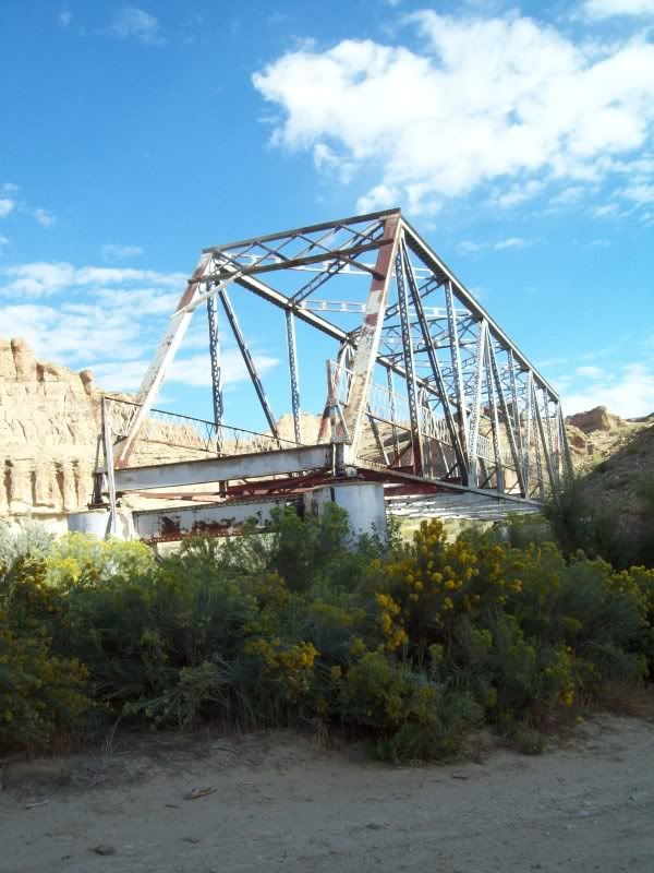
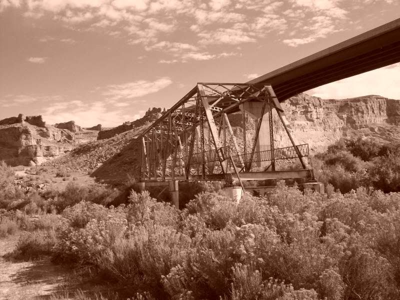
Stop number one was kind of unplanned only later would I learn the first behind it.
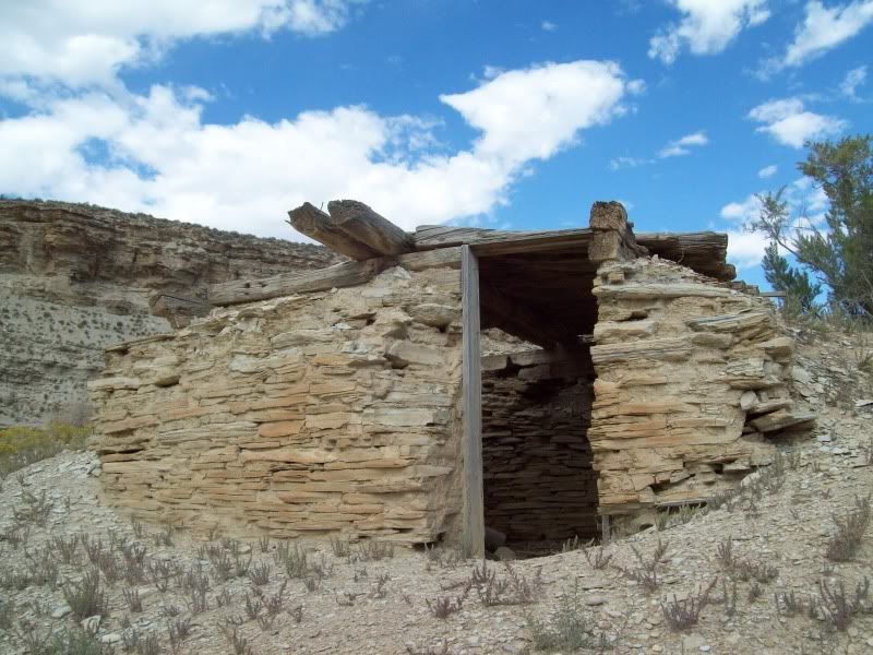
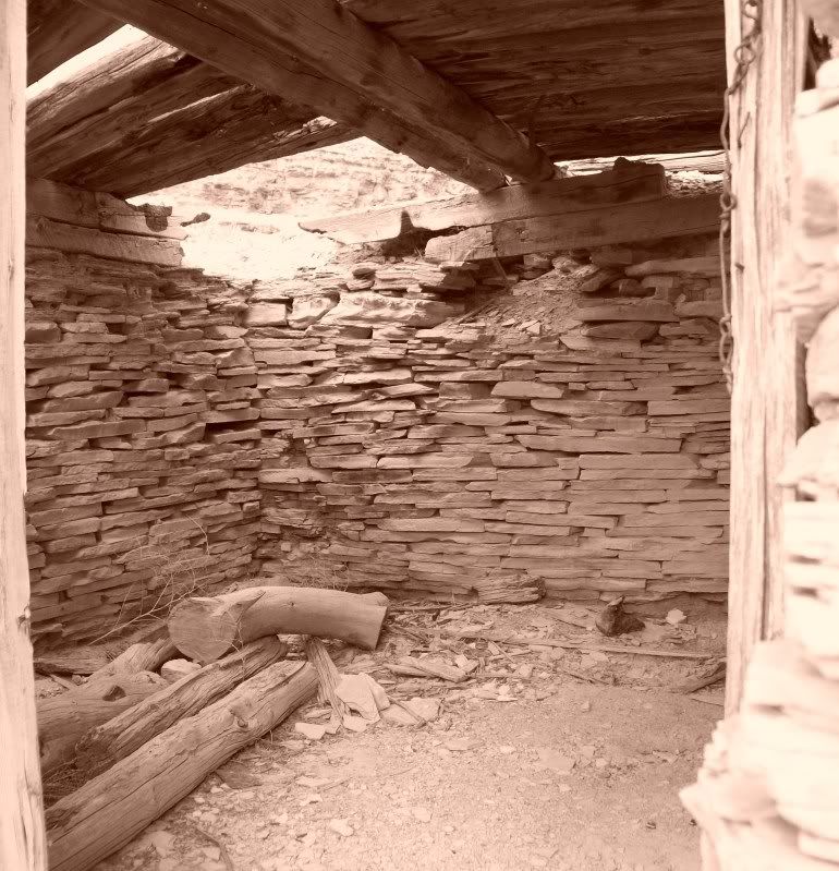
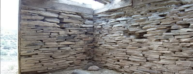
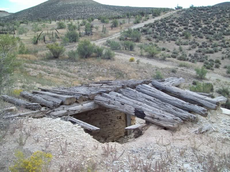
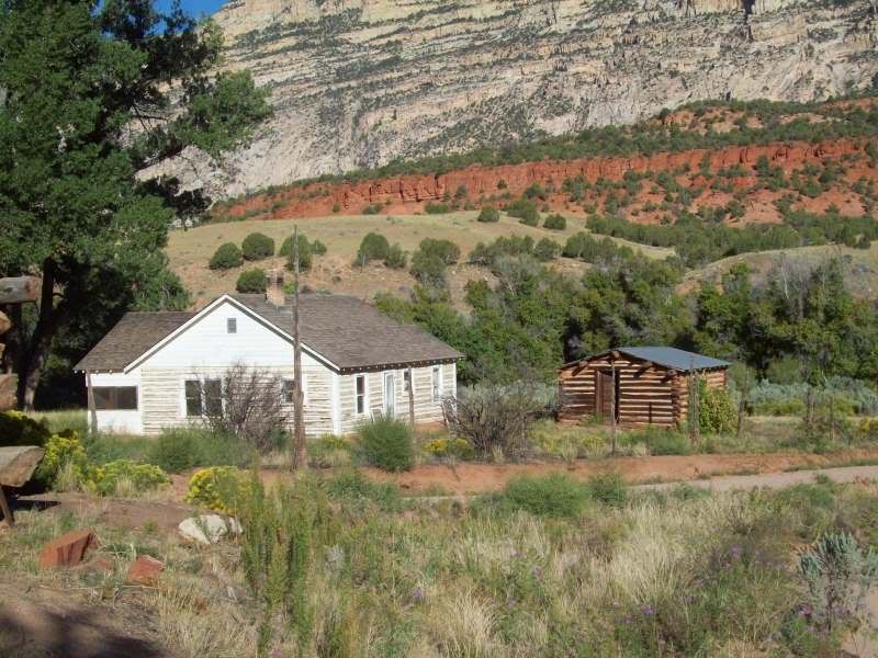
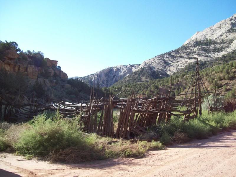
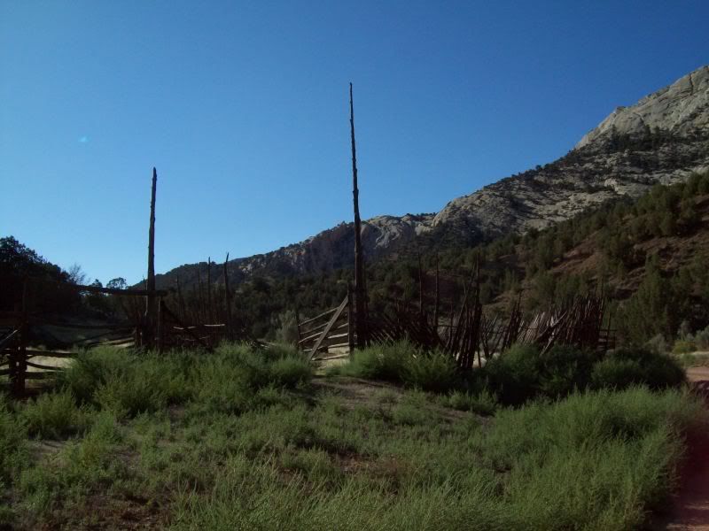
Ignatio Stage Stop/White River Crossing
With all the trips that I've done in the past few years this one had me the most nervous/apprehensive as to if I should even go. Why, I don't know.
With in the past year I've seen a few trip reports on Dinosaur National Monument on the Utah/Colorado border and some of the surrounding areas. I had been to this area as a little kid while on vacation but we never stop into the park itself only at the visitors center (my mother had to tell me this since I had to memory of it, only after did I remember). So this past Labor Day I decided to pack up and head out of dodge to areas less visited. The original plan was to leave Friday night and camp some where once I got out but after working a full day and still needing to pack I decided against it and just to leave early in the morning. Early in the morning as in 4am. Unfortunately, for me I tend to wake up early when I have things planned for the following day, so up at 3am :Wow1: (energy drink #1 :coffeedrink
.After finishing some quick last minute packing (cooler and some miscellaneous items) I was out the door on my way. Only, to get sick about 45 minutes into it (won't go into details) which made for a long drive into Vernal (energy drink #2 was consumed in Roosevelt :coffeedrink
. After, making into Vernal and filling up with gas+5 gallon jerry can. I was office to Visitor Center on the Utah side to grab a map of the area and to check the road conditions. I think I came off a little smug when the ranger was telling me about the road conditions when the area was wet and of the rocky trail on Yampa Bench Road. Only later would I understand what she meant about the wet roads (see day #2).So after that I was headed on out to the first stop along the way “Watson, Utah” or what is left of it but not without a stop or two.
Along the “Old Bonanza Highway”
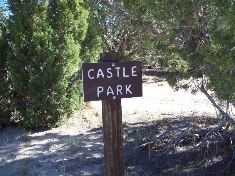
Stop number one was kind of unplanned only later would I learn the first behind it.
Ignatio Stage Stop/White River Crossing
Last edited: