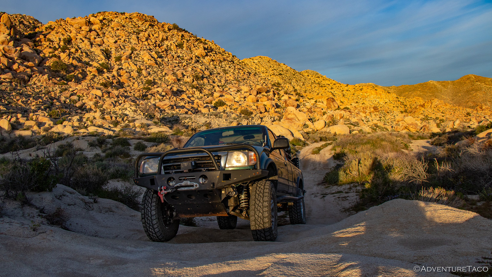
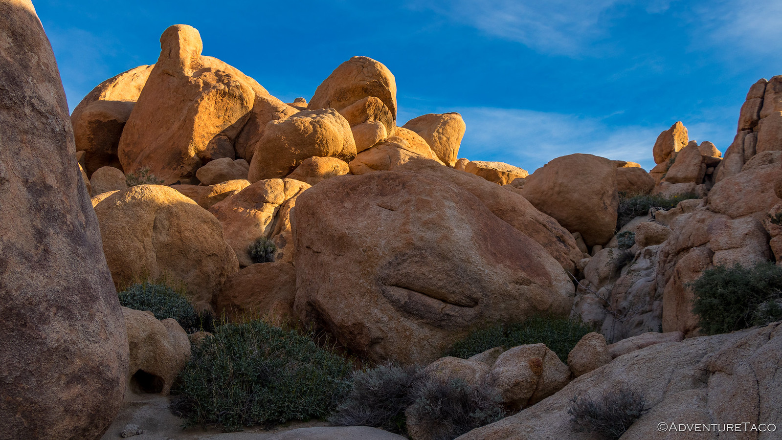
Double Fun @ Anza Borrego

turbodb

Well-known member
Anza-Borrego Part 5 - Palms, Pups, and the Longest Trestle

For 10 days, we lived our normal lives. As it were, a cold existence in the Pacific Northwest. We'd left with snow on the ground, and we returned to a few small patches remaining. And then it snowed the first night we were home. Needless to say, we missed the southern California weather!

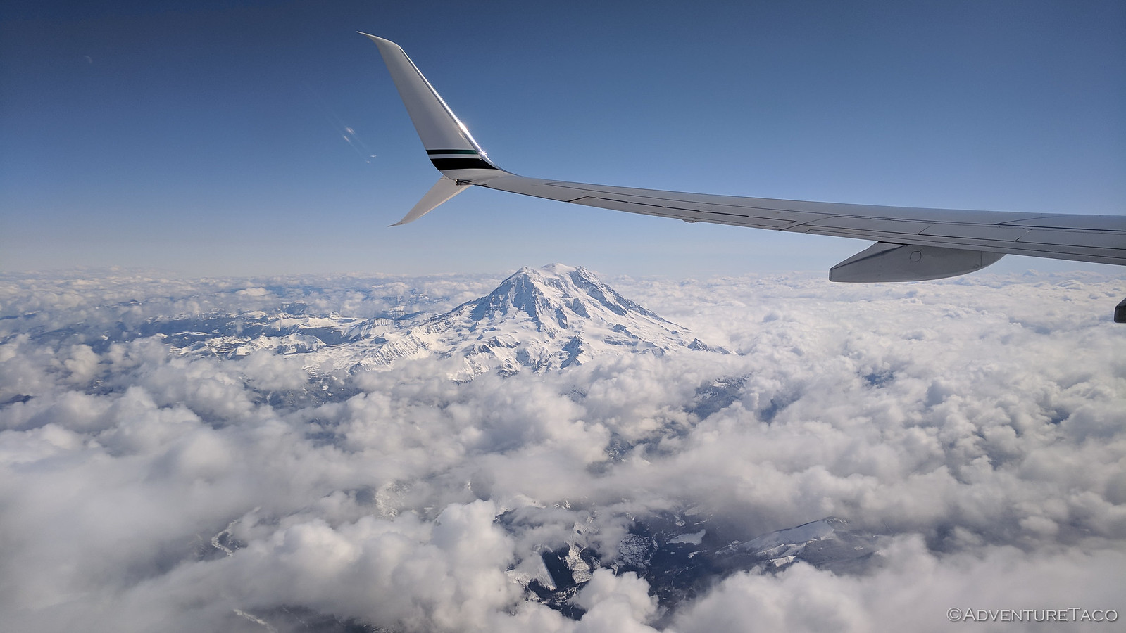
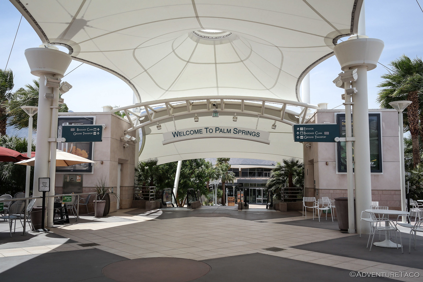
But, extremely happy with our decision to double-up on the adventure, we knew that it wouldn't be long before we hopped back on a plane that would take us away from the clouds and back to the "weather's-so-nice-our-airport-doesn't-need-a-roof" Palm Springs airport.


As we drove back to Anza-Borrego, it hit us that it was even more green than it'd been when we left. A day of rain, and now mid-70ºF temps meant that the super bloom was in full swing - a fact that we'd take full advantage of in the coming days. Today though, we'd restock and repack the Tacoma, and have a nice dinner in town with Pops and my step mother.

- - - - -

March 14, 2019.

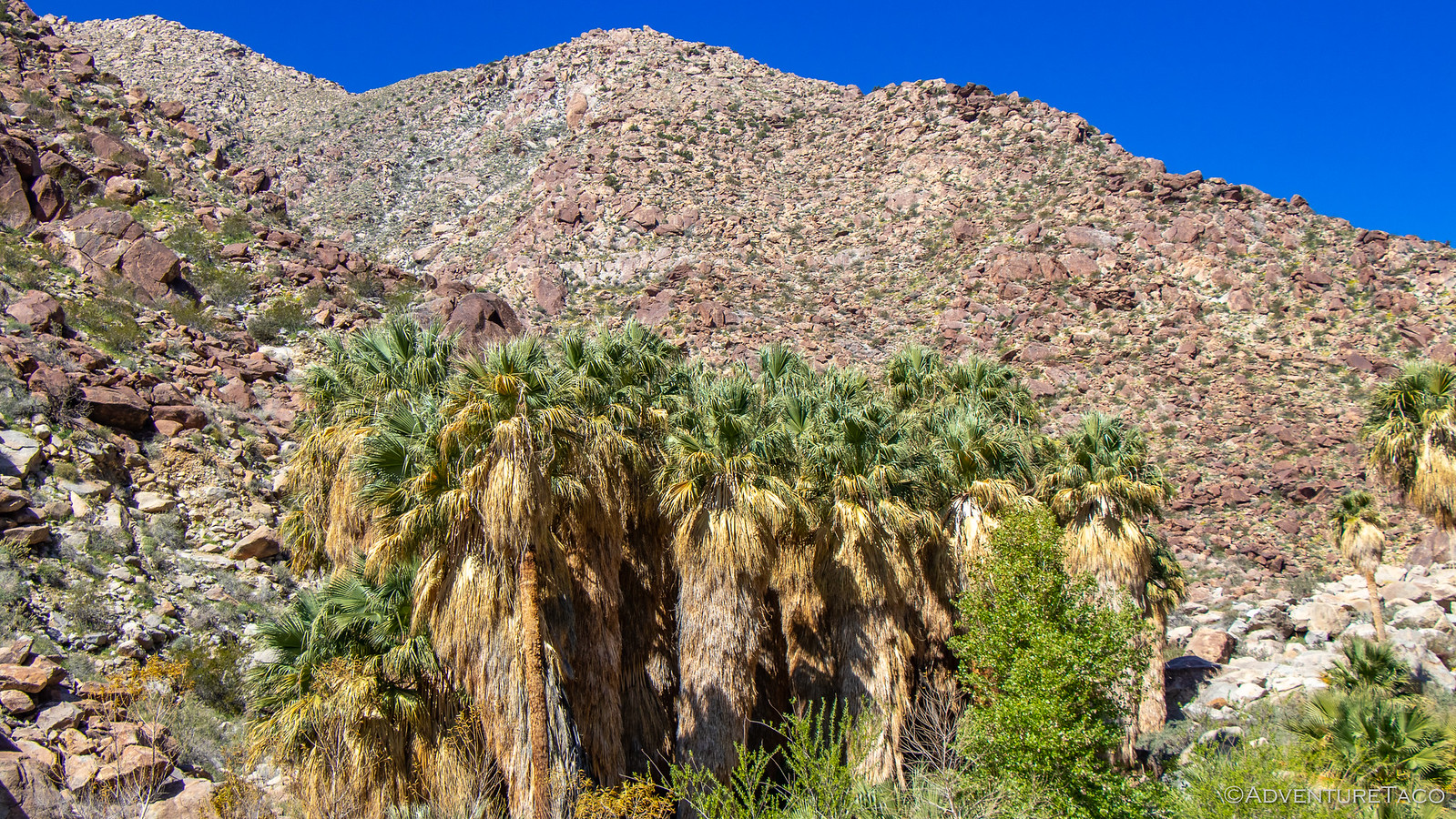
The next morning, we all decided it'd be the perfect time to hike Palm Canyon. This is a reasonably popular hike right by the visitor center, so we knew that it would be more crowded than other places - but it's a beautiful hike and one of the only places to see running water in the park (at least that we found) so we decided to give it a shot.

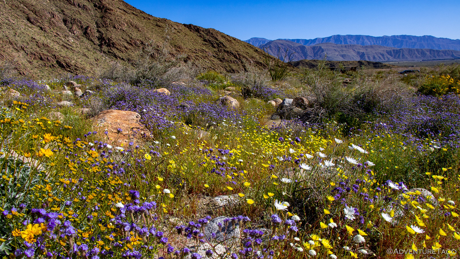
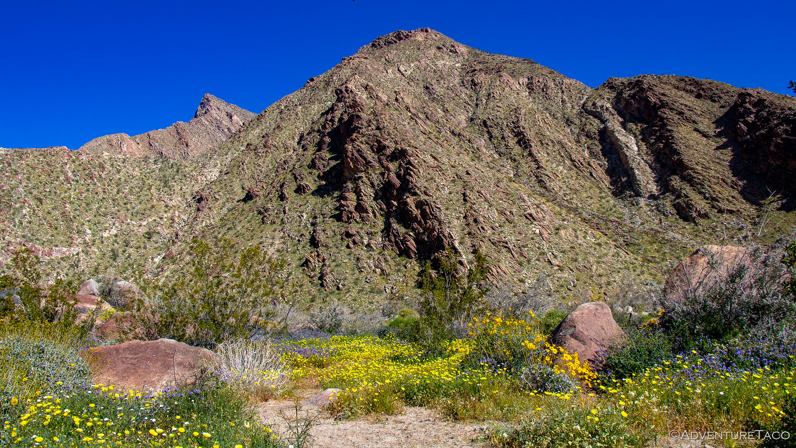
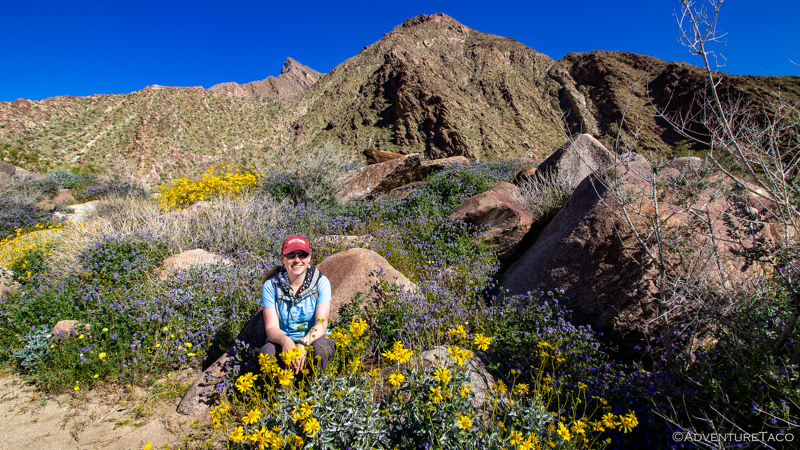
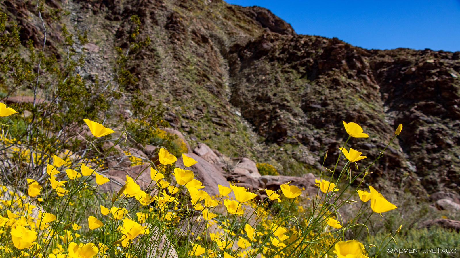
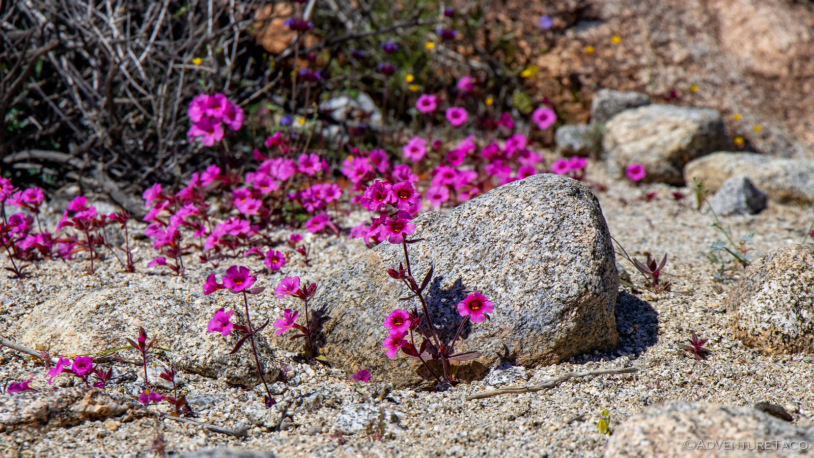
As we headed up the canyon, the wildflowers were amazing.


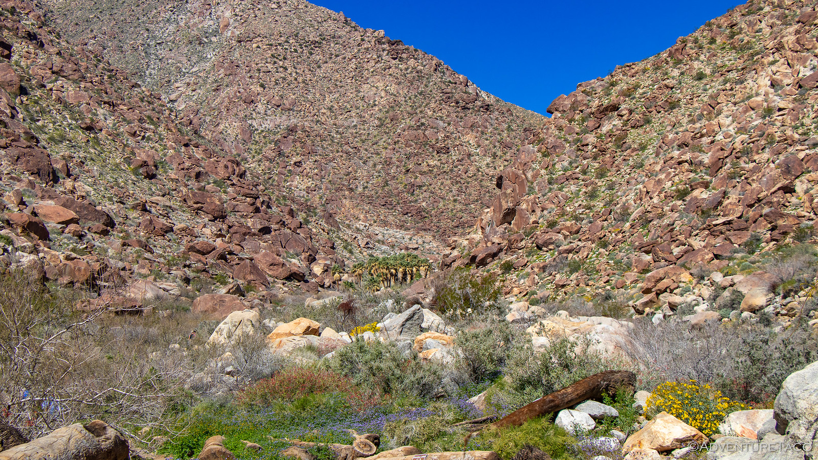
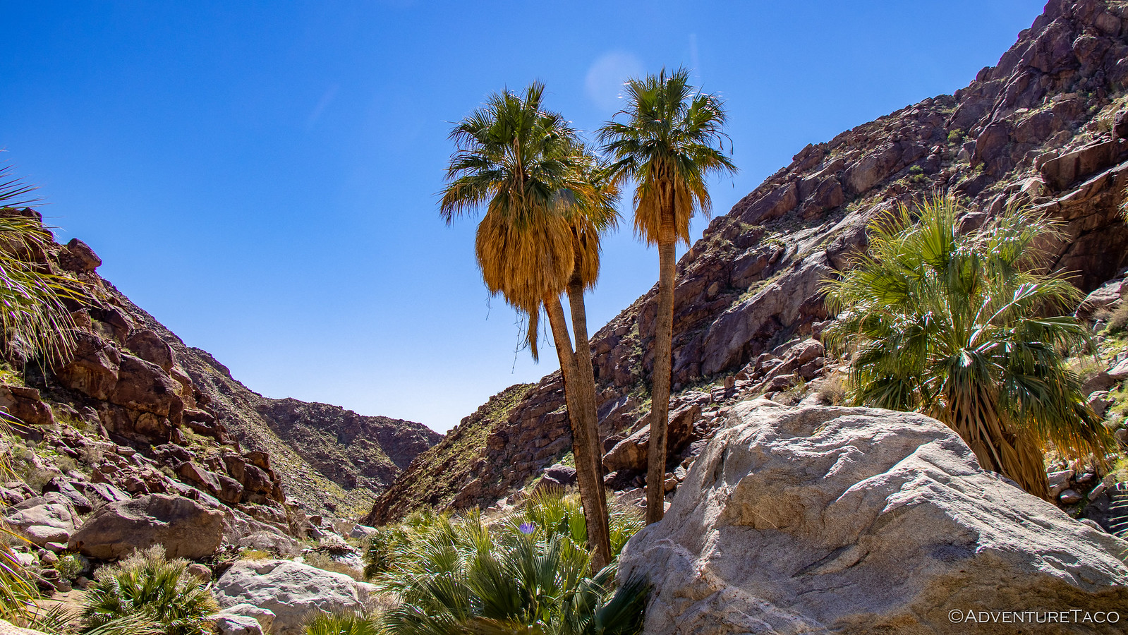
It was as though we weren't even in the desert - the ground so green, the flowers vibrant yellows, purples, pinks, and white. Birds flitting and hikers ogling the entire way up the trail. Eventually - perhaps a mile up trail - we spotted the grove of Fan Palms from which the canyon gets its name.


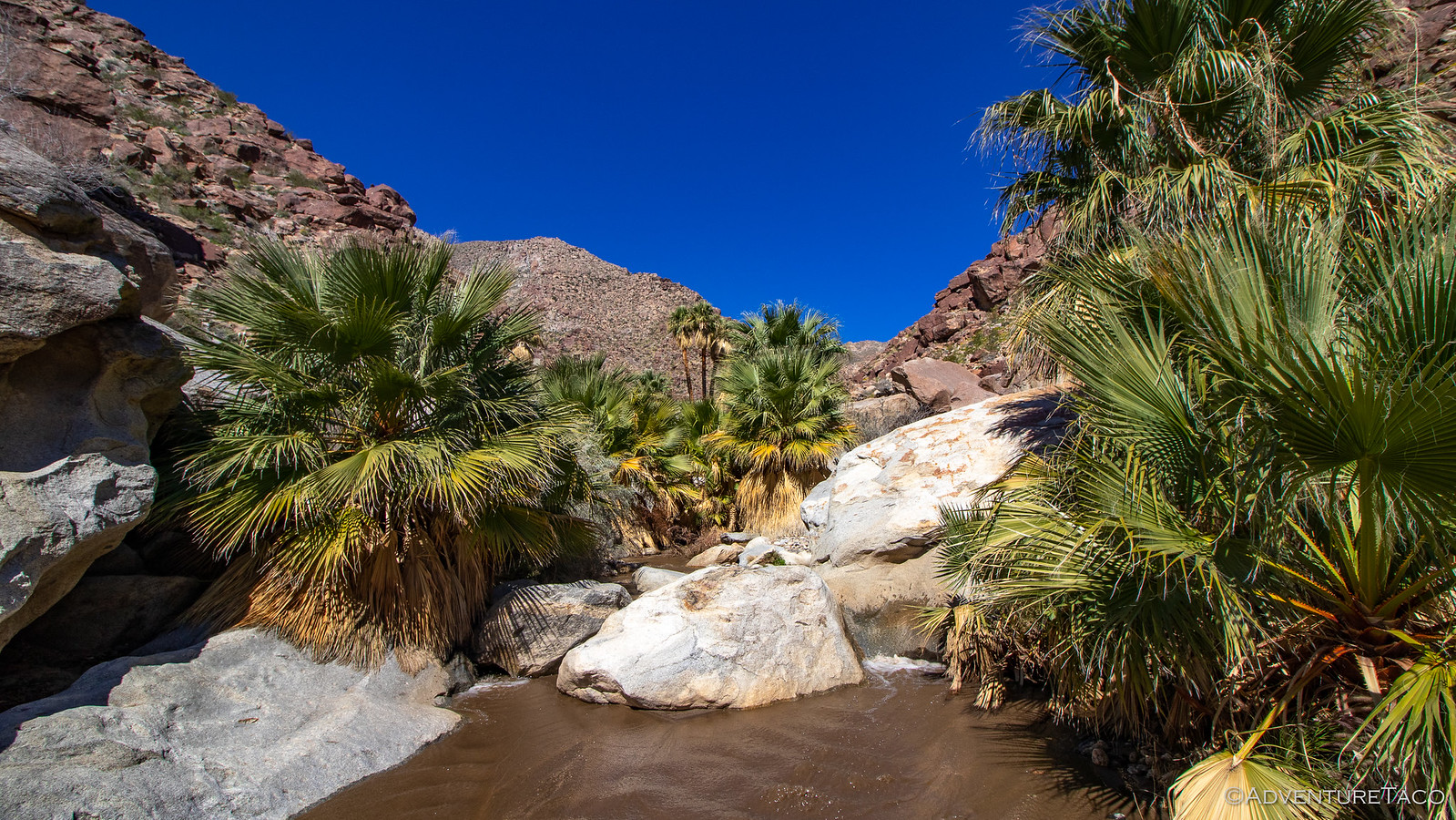
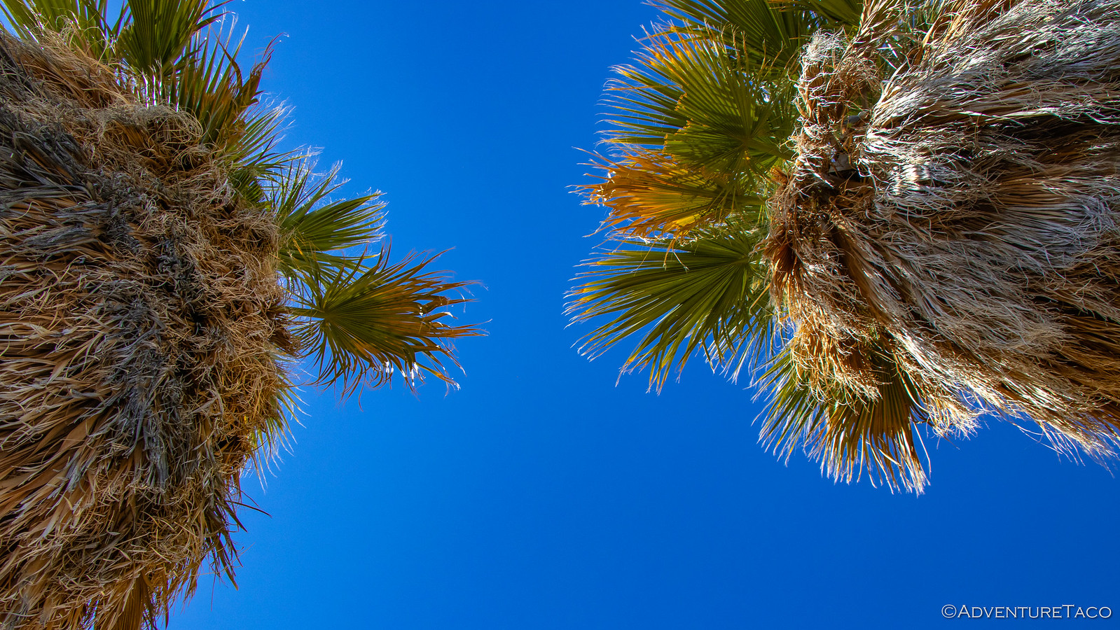
As we got closer, more and more palms came into view - and unlike 5 Palms or even 17 Palms that we'd visited on our first leg of this adventure, this truly was an oasis - the water streaming down the wash next to us.


We explored the trail as far as we could go - it turns out that the upper portion of the hike beyond the palm oasis was closed due to the recent rains - before turning around and heading back down via an alternate path on the opposite side of the canyon. The path was a bit longer, but given the surroundings, that was fine by us - the sights here just as breathtaking as those we'd experienced on the way up.


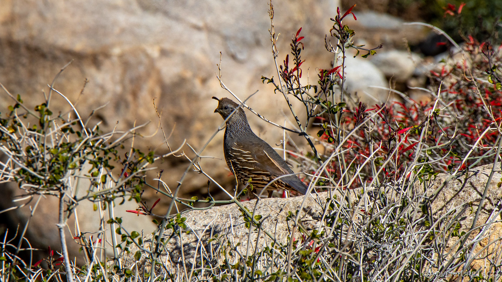
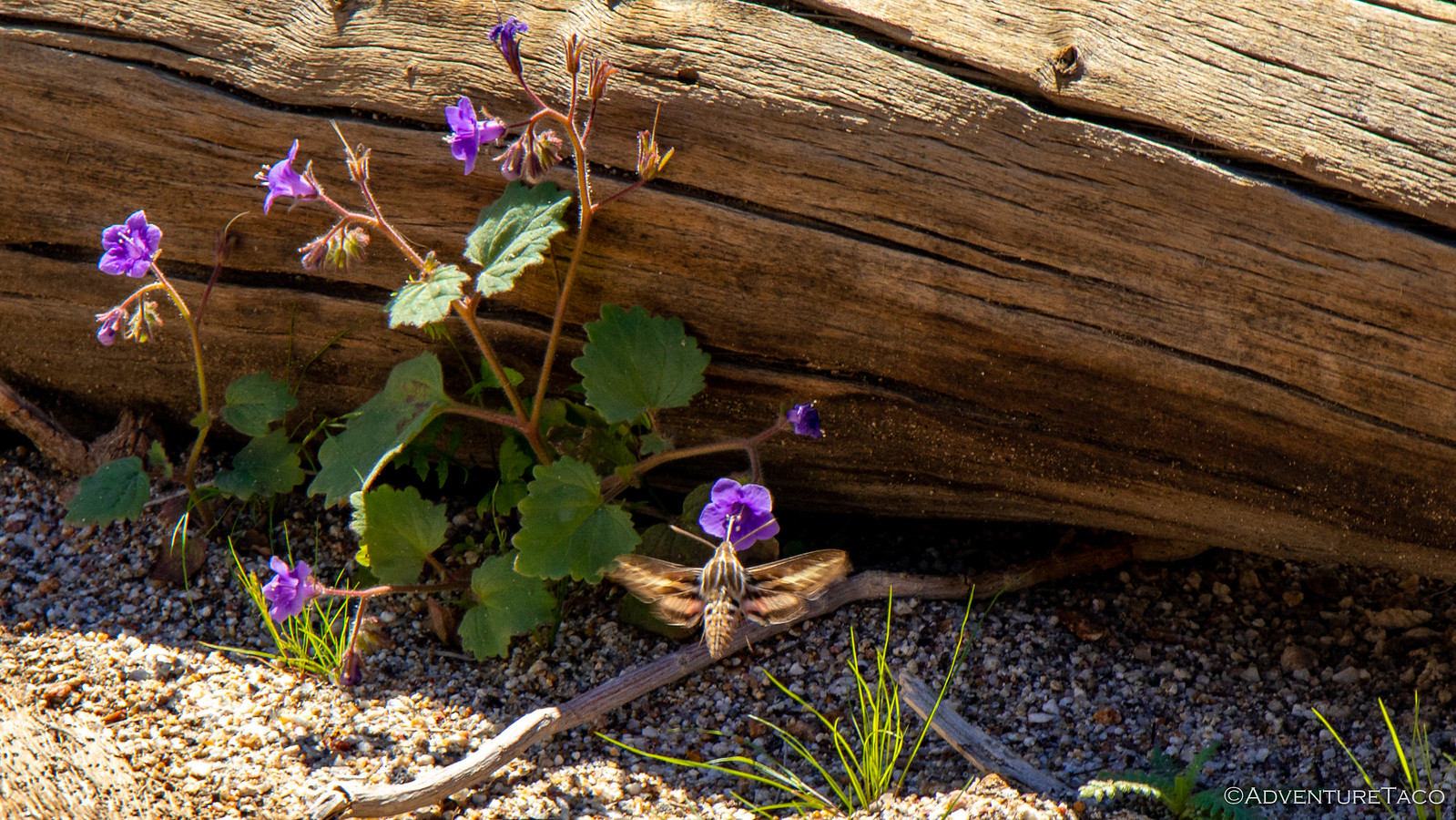
We even saw a White-lined Sphinx Moth (also called a Hummingbird-moth) doing it's thing - initially mistaking it for an actual humming bird! In fact, unbeknownst to us, this would be far from the last that we'd see of this moth on the trip - apparently they are somewhat of a pest in the area!


Back at the trailhead, Pops quickly became the most popular guy around by pulling out his birding scope and training it on a couple Bighorn Sheep that were grazing on a nearby mountain. I'll tell you what - as soon as that happened, it was like the entire parking lot descended on his scope to get a look. Because, well, if you can see wildlife from the parking lot...then you can just get right back in your car! ?

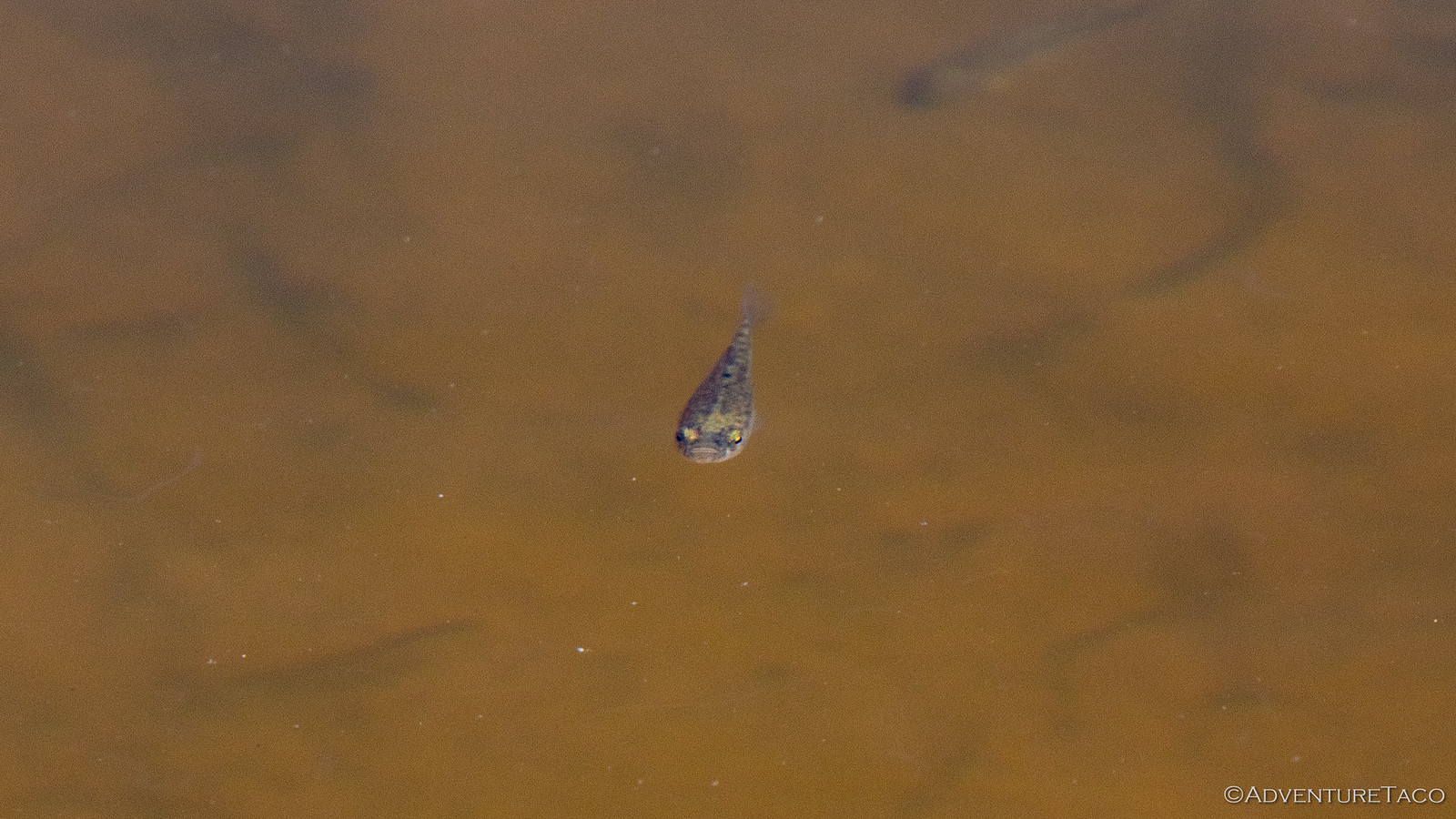
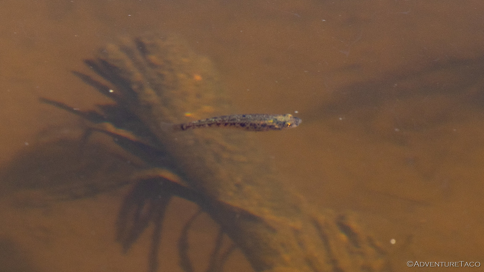
While that was going on, we also noticed that a small concrete pool contained a bunch of 1-2" long fish - pupfish I was told, which I initially thought was a bunch of baloney. After-all, how would pupfish get into this man-made pool? Sure enough however, that's exactly what they were - Desert Pupfish that live only here in Anza-Borrego. And, so near the parking lot...and yet still unnoticed by the vast majority of folks!


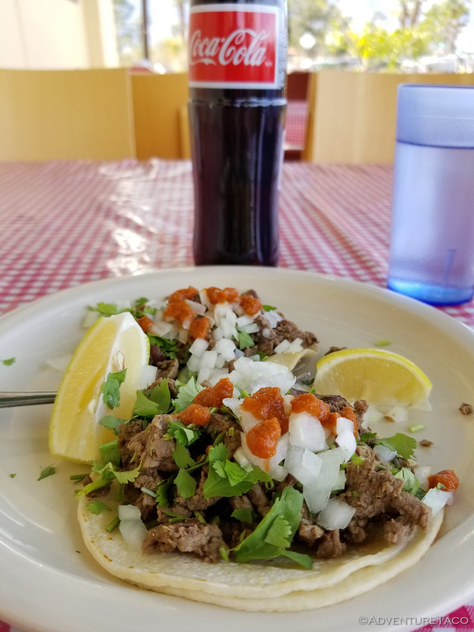
Eventually Pops had to wrench his scope out of the ever-growing throng of tourists because we'd decided it was time for lunch - the famous shrimp tacos at El Borrego, a local favorite, calling to us before we headed out of town to enjoy a bit more seclusion than the trip had afforded so far. Oh, and it turns out the carnitas tacos are amazing as well.


Lunch wrapped up and our bellies stuffed, we bid farewell to our gracious hosts and headed south, our destination - Mortero Wash near Indian Hills - meant to be a great place to kick off an 8-mile, early morning, hike to the Goat Canyon Trestle Bridge the next day.

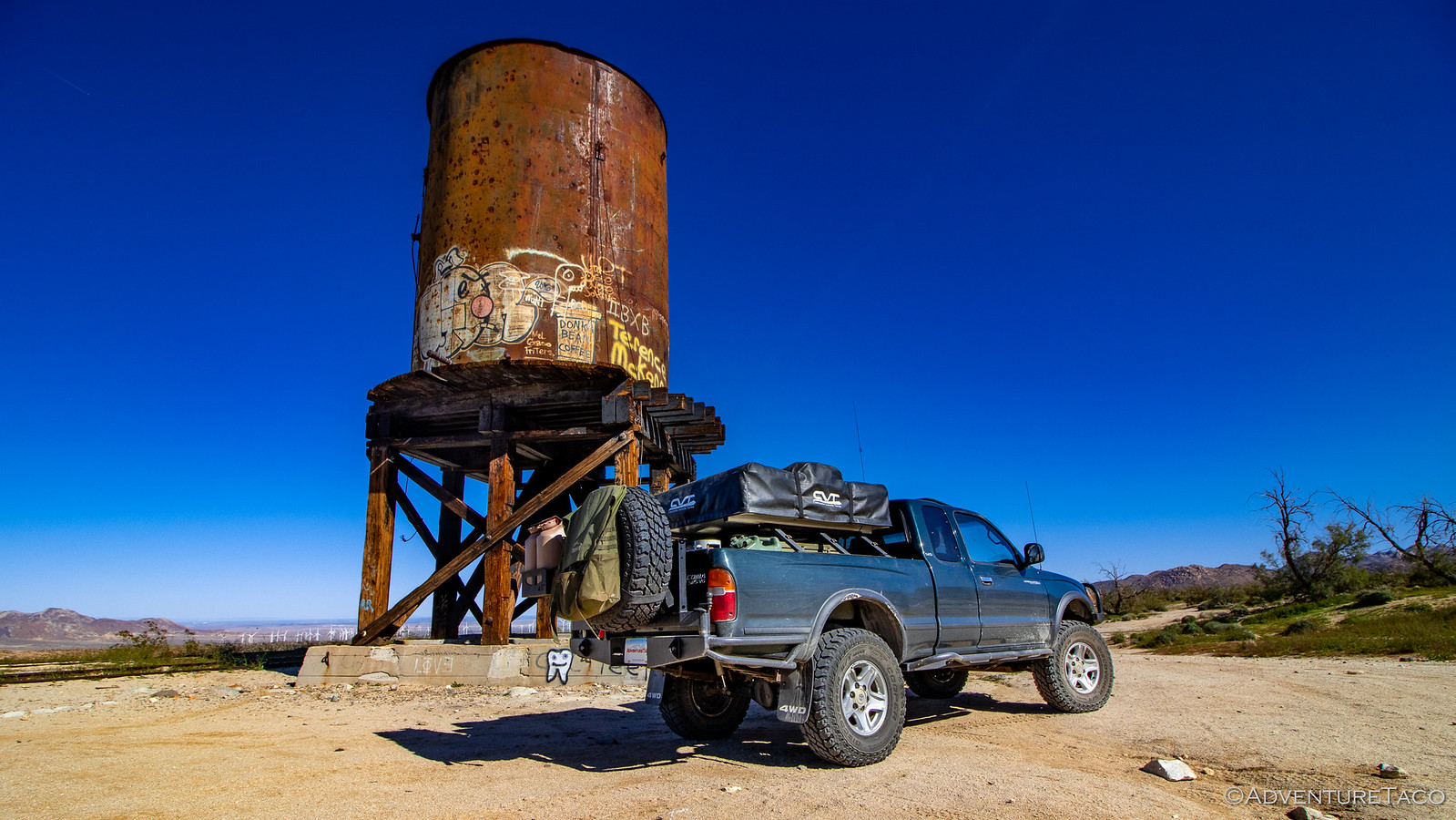
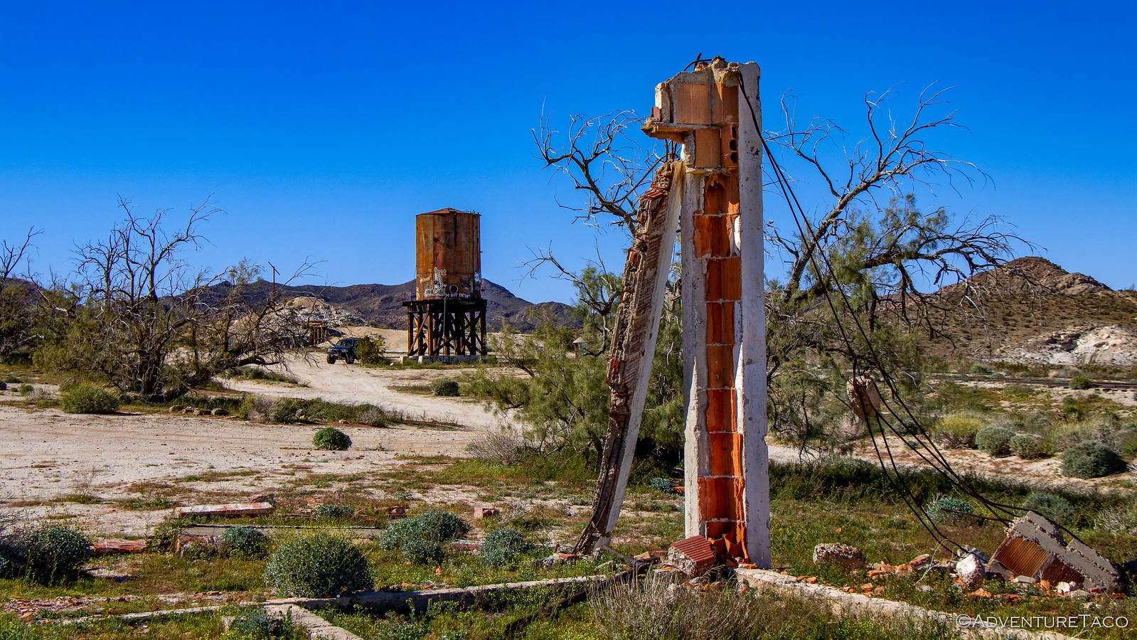
Along our way, the road passed through the old Dos Cabezas railway station. There's not much here anymore - it was decommissioned in 1958, only an old water tower and a few small ruins left at this point - but this station was once part of the El Centro to San Diego train line. Known as the "impossible railroad" during construction, the line through deep rocky canyons and hillsides was completed in 1919; the Dos Cabezas station a watering stop for steam engines and a place for nearby miners to access the rail.


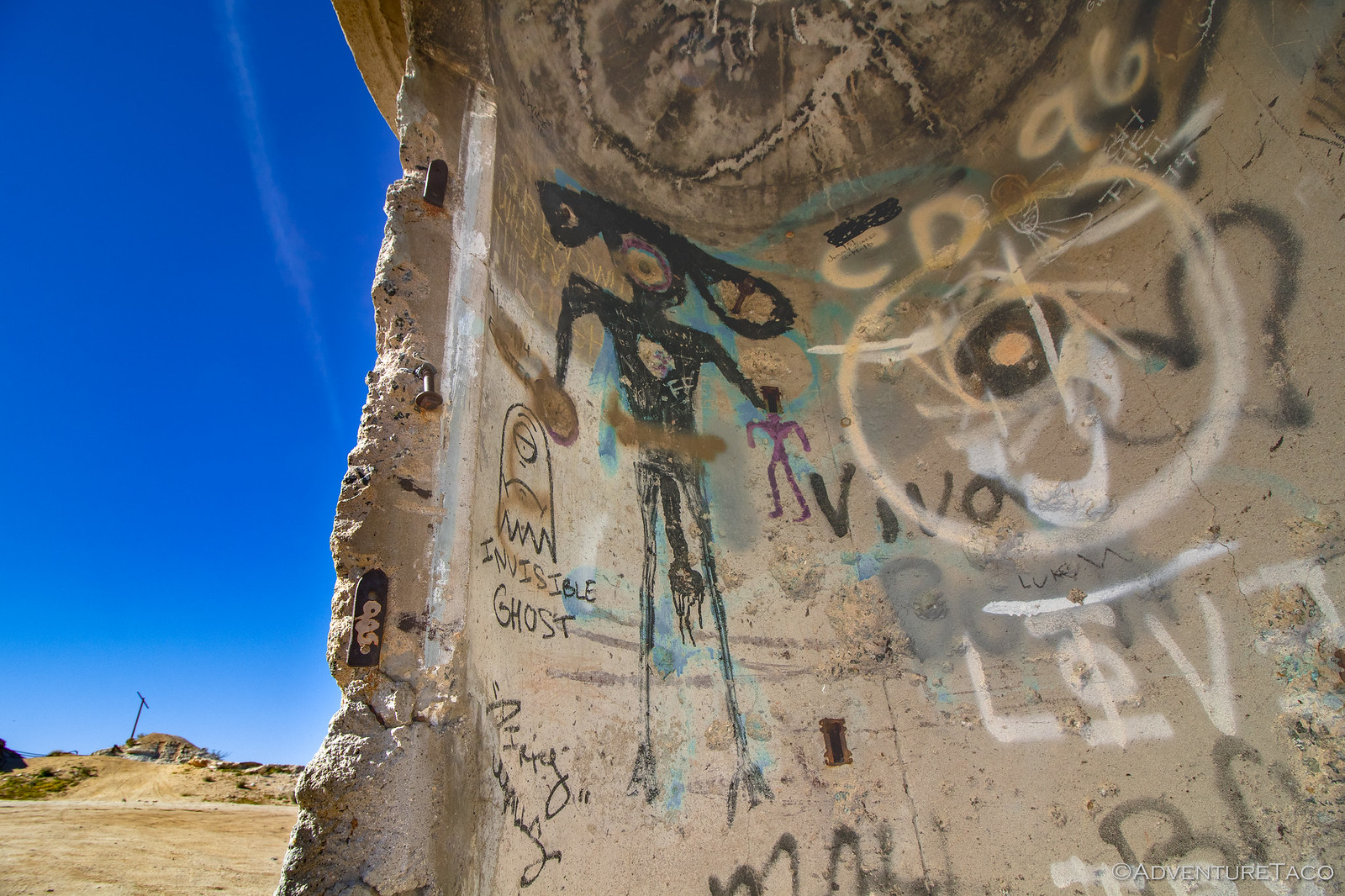
Today, the few structures still standing are covered in graffiti and gunshots, a distinct "alien" vibe present in much of the art.


Don't miss the rest of the story, and all the remaining photos - it'd all be included here if it fit. But until then...


.
 

turbodb

Well-known member
Anza-Borrego Part 6 - Finding Blue Sun Cave

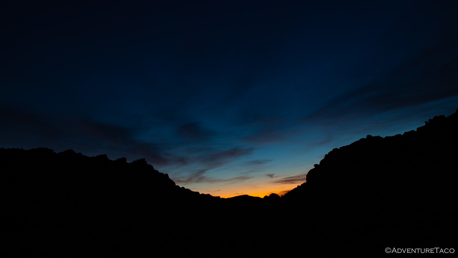
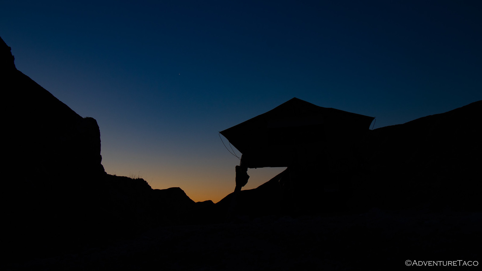
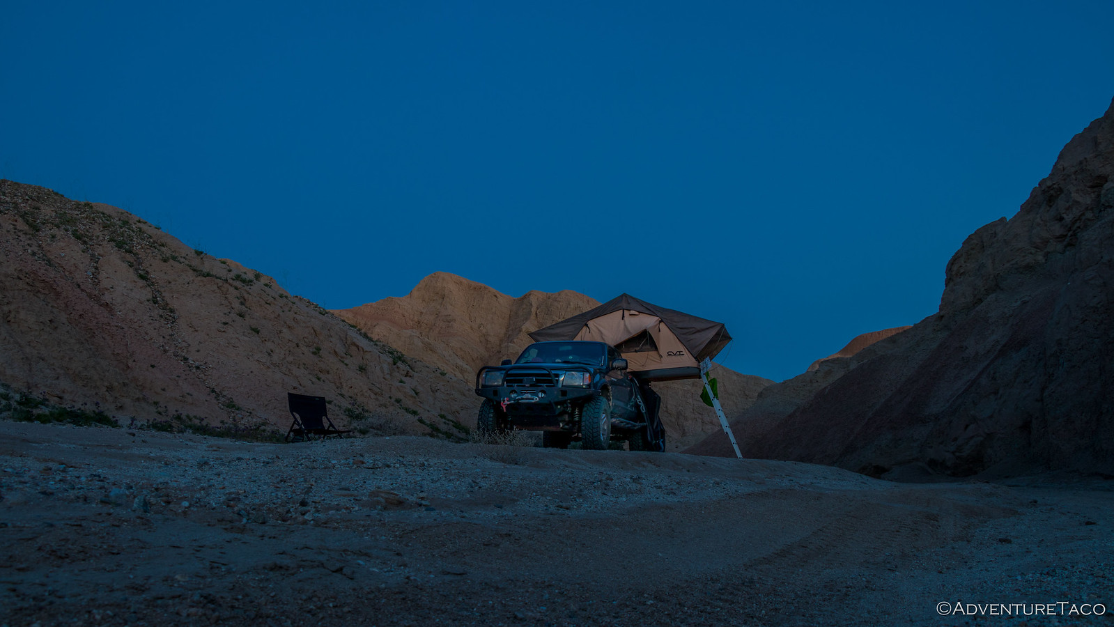
The night was one of the most pleasant we've spent in the tent - no wind to speak of, which meant that all the windows were down and the nearly full moon illuminated the rocky landscape around us until it set along the western horizon around 3:00am. Knowing that this could be a great place to catch sunrise, I'd set my alarm for 6:30am to make sure that I didn't miss it - so when I woke up just a few minutes before it went off, I decided I might as well get myself going. After all, I could see the beginnings of light along the horizon.


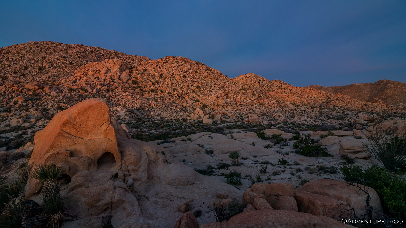
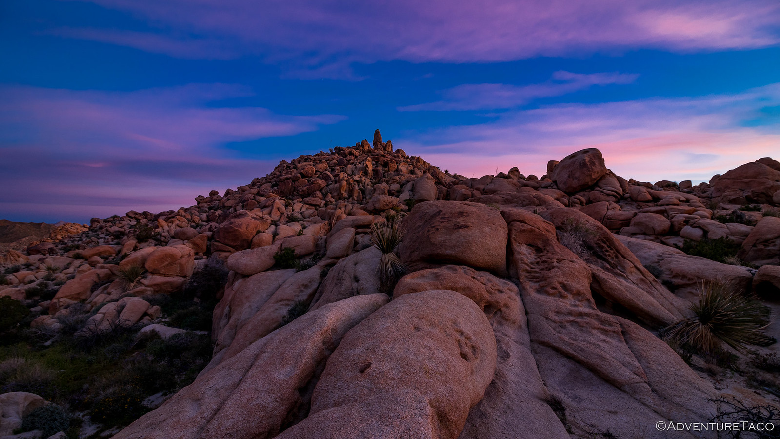
It was just a short walk through the boulders to a better vantage point, but that short walk gave me plenty to look at - orange the sunlight, not yet over the horizon, was reflecting off the clouds back onto the rock.


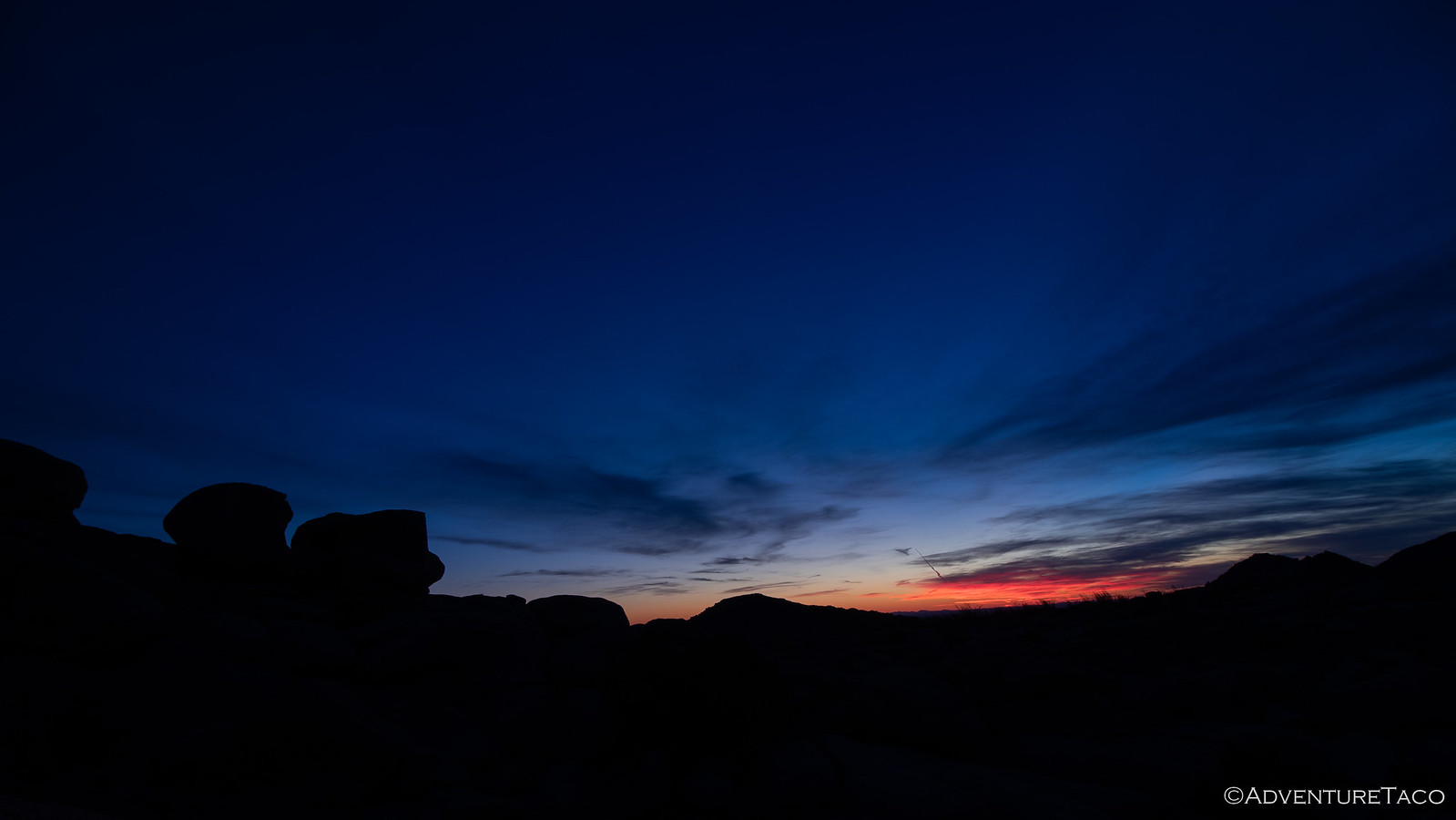
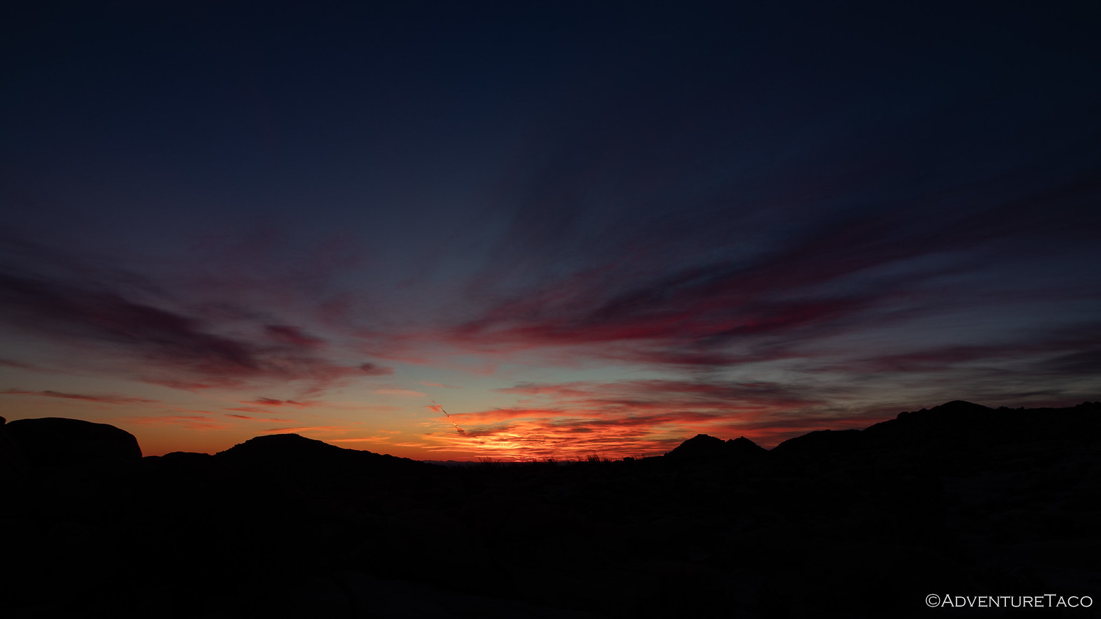
I continued my climb and soon found myself perched on a truck-sized rock as the sky really began to light up - first bright orange, and then as the sun got closer to the horizon, the orange changed to pinks and purples. The whole time, the landscape transforming as well under the colorful display.


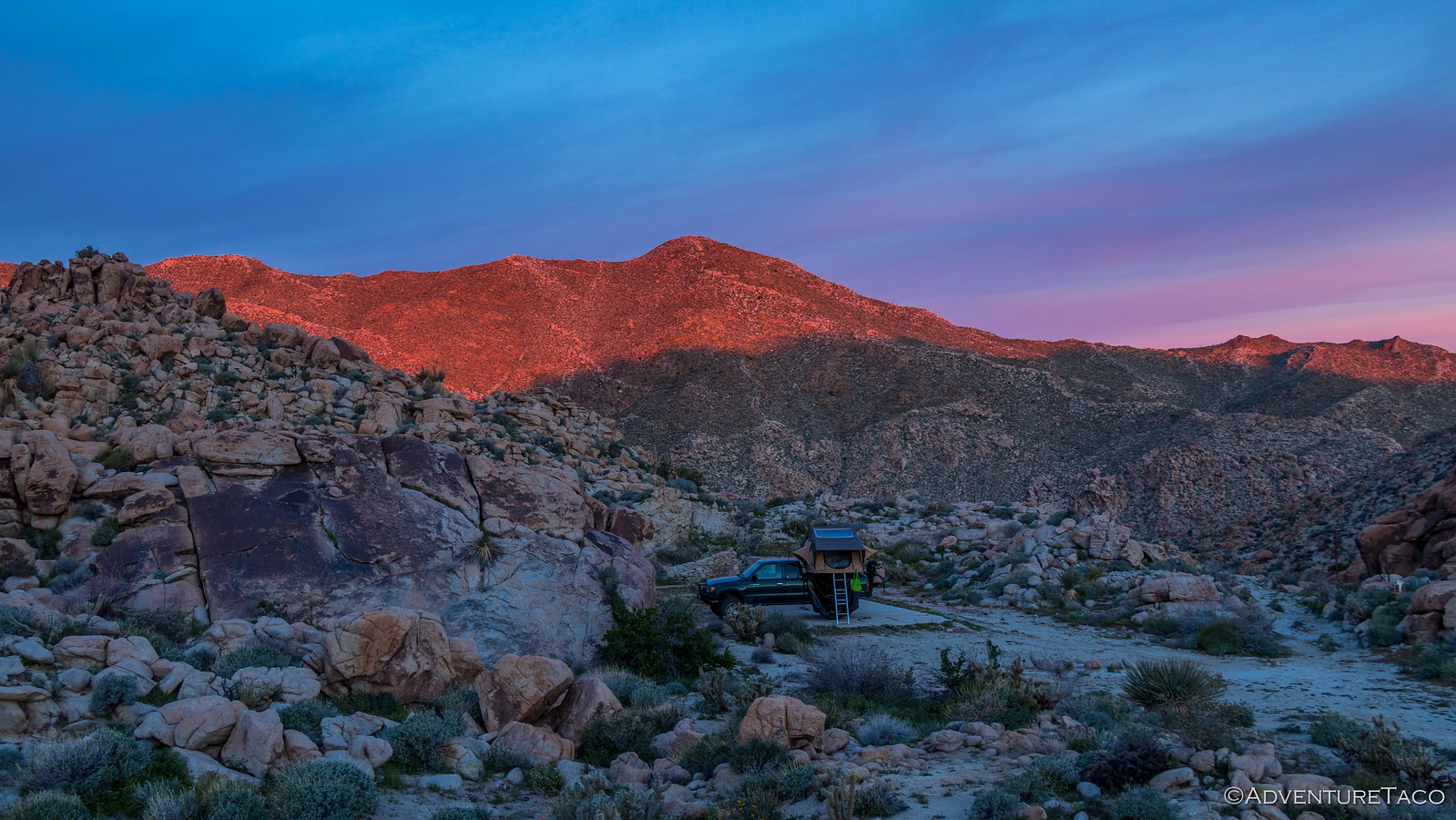
Wondering if @mrs.turbodb was enjoying the display back at camp as much as I was, I made my way back, calling with our family whistle as I went. When I got back, she was still snug in bed - I forget if she was reading or not - having enjoyed a bit of the sunrise initially out the east-facing window, and now out of the west, where the sun's rays were striking the hillside behind camp.


As she got herself up and out of bed, we decided that we'd skip breakfast for the time being so that we could get an early start on our day. Even though we'd already saved ourselves 4-5 hours by hiking to the Goat Canyon Trestle the day before, we still had a really full day ahead - the first order of business being an exploration of the Indian Hills area, in search of the infamous Blue Sun Cave.

So as @mrs.turbodb got dressed, I took care of putting away the tent, and then decided that it was a good time to get changed myself - which really just meant new socks and underwear - so that I didn't end up smelling even worse than would normally be expected.

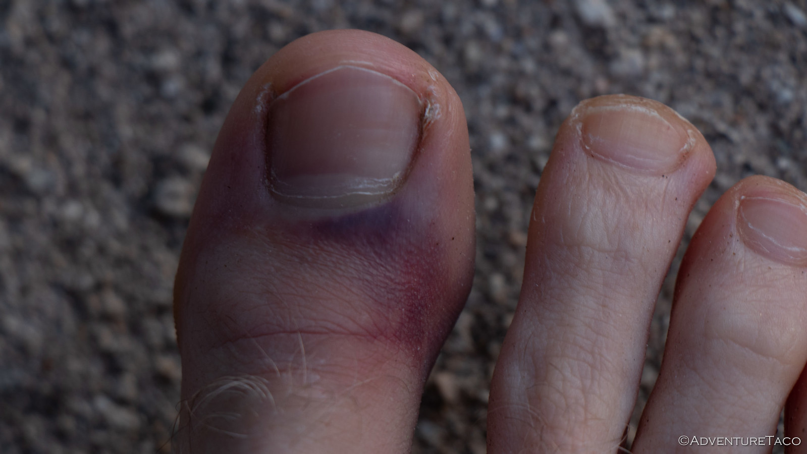
Plus, it would give me a chance to check out the big toe on my right foot. See, on our hike the evening before, there had been a photo I'd wanted to take where there was a small shrub in the way. Big-brains over here decided to kick it out of the way and as you can probably guess, the plant won.


Of course, I'd gotten what I deserved according to @mrs.turbodb (and Karma) so I couldn't be to angry about the whole thing. As bad as it looked, I was still able to walk, and it didn't seem broken. Plus, it would turn out to be the lesser of Big-brain's injuries. ?

But now I'm getting ahead of myself.

Camp put away, it was just after 7:00am when we got on the trail towards Indian Hills - the sun now illuminating the rocks around us and shining directly in our faces as we drove due east - extra special since the windshield was dirty and the wiper fluid was empty!


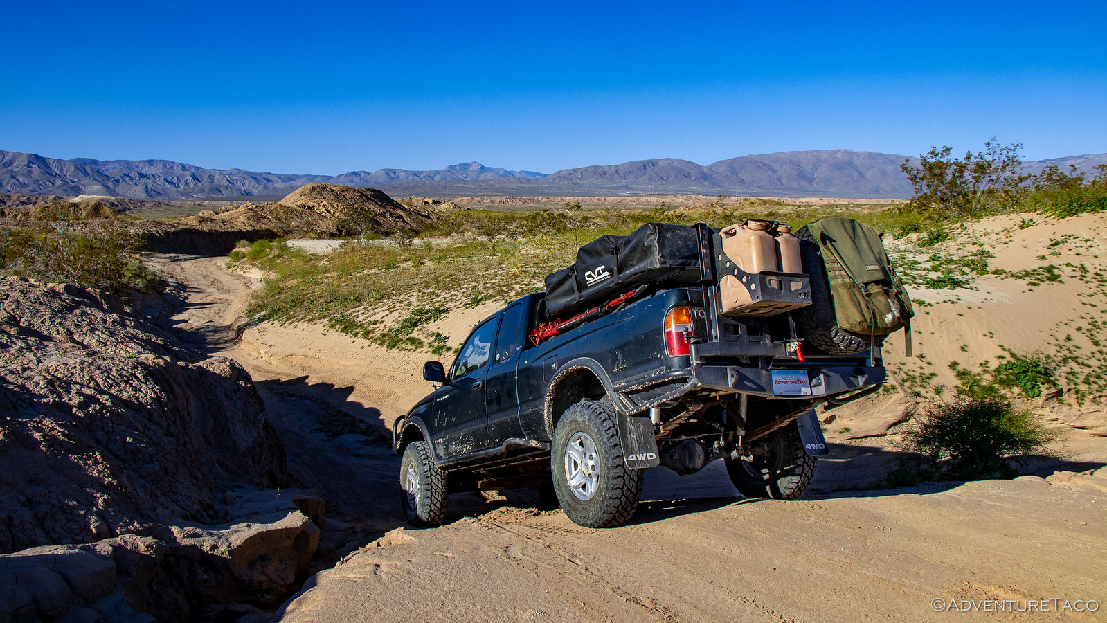
Still, it was a fun road with some slow, semi-technical sections and we had a blast for the short 20 minute jaunt to our first destination of the day.

Indian Hills are named - perhaps obviously - for the Native Americans who lived in the area for thousands of years - extensive archaeological excavations in the 1950s dating artifacts back to 4,000 BC! And, while the area is well known, it's secrets - or at least their locations - are less-so.

And that of course is what drew us in - this area is full of secrets, including some colorful pictographs that are the namesake of the Blue Sun Cave.

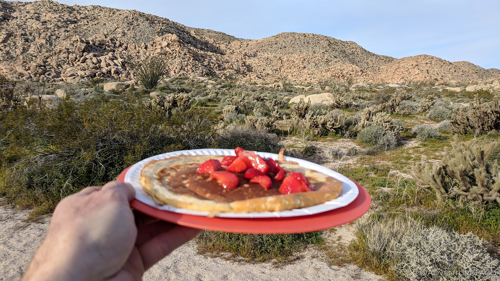
Knowing that the search could take a while, @mrs.turbodb got started on a pancake breakfast while I started to explore the square-mile-or-so area that we suspected encompassed the cave. And it wasn't long before I made my first discovery: a yoni. From the Hindu word for female genitalia, they are, according to local researchers, "thought to be associated with female fertility". This one was carved into the granite and then stained a darker color to set it off from it's surroundings.


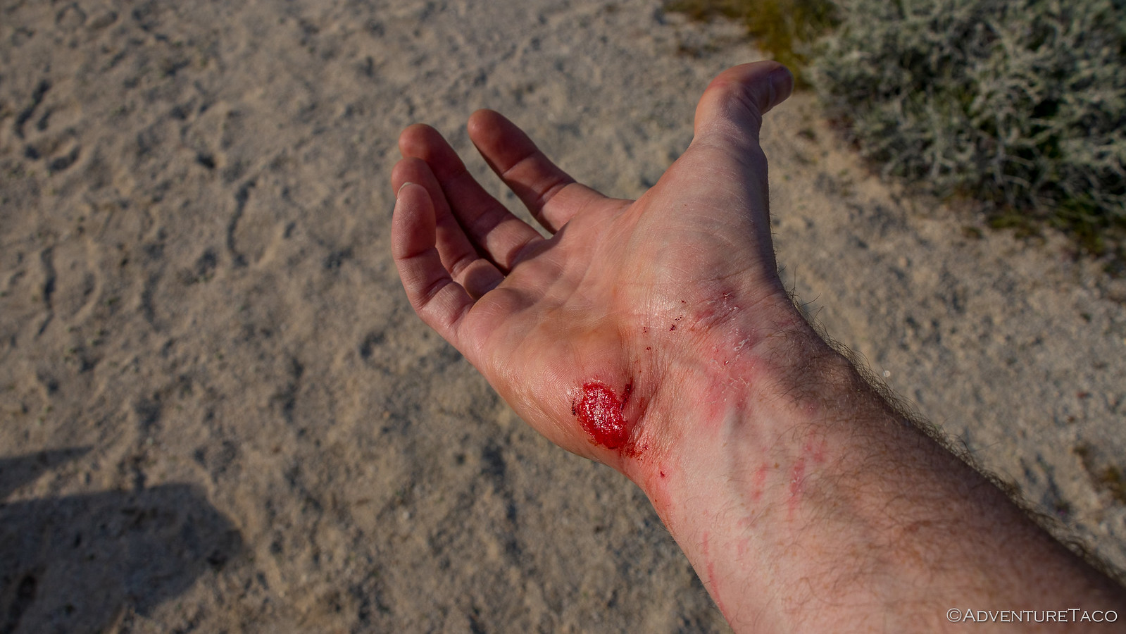
I continued to explore for 20 minutes or so until a bit of the decomposing granite slipped under my shoe and I took a tumble. Being just average height, I didn't fall far - but still, decomposing granite is perhaps the hardest, roughest surface human skin will ever encounter. And when it does, well...


Luckily for me, my adrenaline kicked in right away and my little booboo hurt my ego more than my hand, so as a bit of blood dripped onto the ground, I continue my hunt for pictographs. But only for 10 minutes or so - because I got a family whistle that breakfast was ready!


Besides the luxury of pancakes in the desert, being back at the truck for a moment presented a good opportunity to clean up my hand and get a band-aid, so I did that and looked over my camera which I'd also dropped - luckily nothing seemingly broken, though the body definitely looks a little worse for the wear.

As one does, we ate all the pancakes with a bit of haste and I related what I'd found so far to @mrs.turbodb. A yoni was extremely interesting to her, so as we set out again, we made a quick stop to check it out before dividing to conquer the rest of the area.

We searched for nearly two hours. I was high up in the rocks of the hills, she was low around the perimeter. Everything was extremely cool. But we'd found nothing, and we knew we couldn't search all day - so we decided that we'd continue the search to "just over there," and if we didn't find what we were looking for, we'd add this to our list of reasons to return.

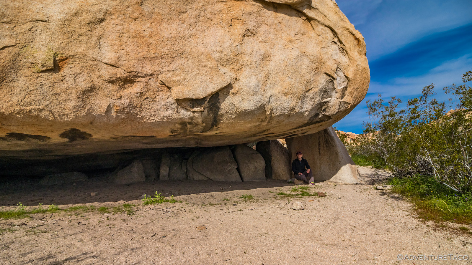
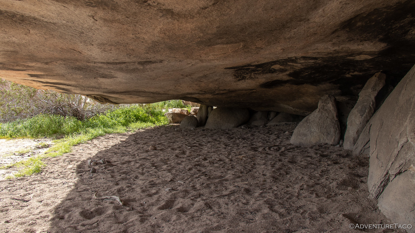
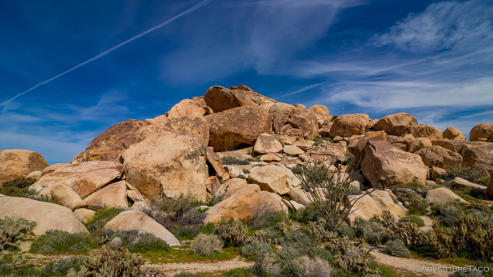
And then, just as we got "over there," we hit the jackpot. We found a room I'd heard about - an enormous, house-size rock that created a room approximately 20' x 20', and 6' tall. Clearly a place that Native Americans had spent a bunch of time cooking - the soot on the ceiling an obvious sign.

40473844763_c8aa52aa82_h.jpg


33563680628_feeacd2be7_h.jpg
[/CENTER]

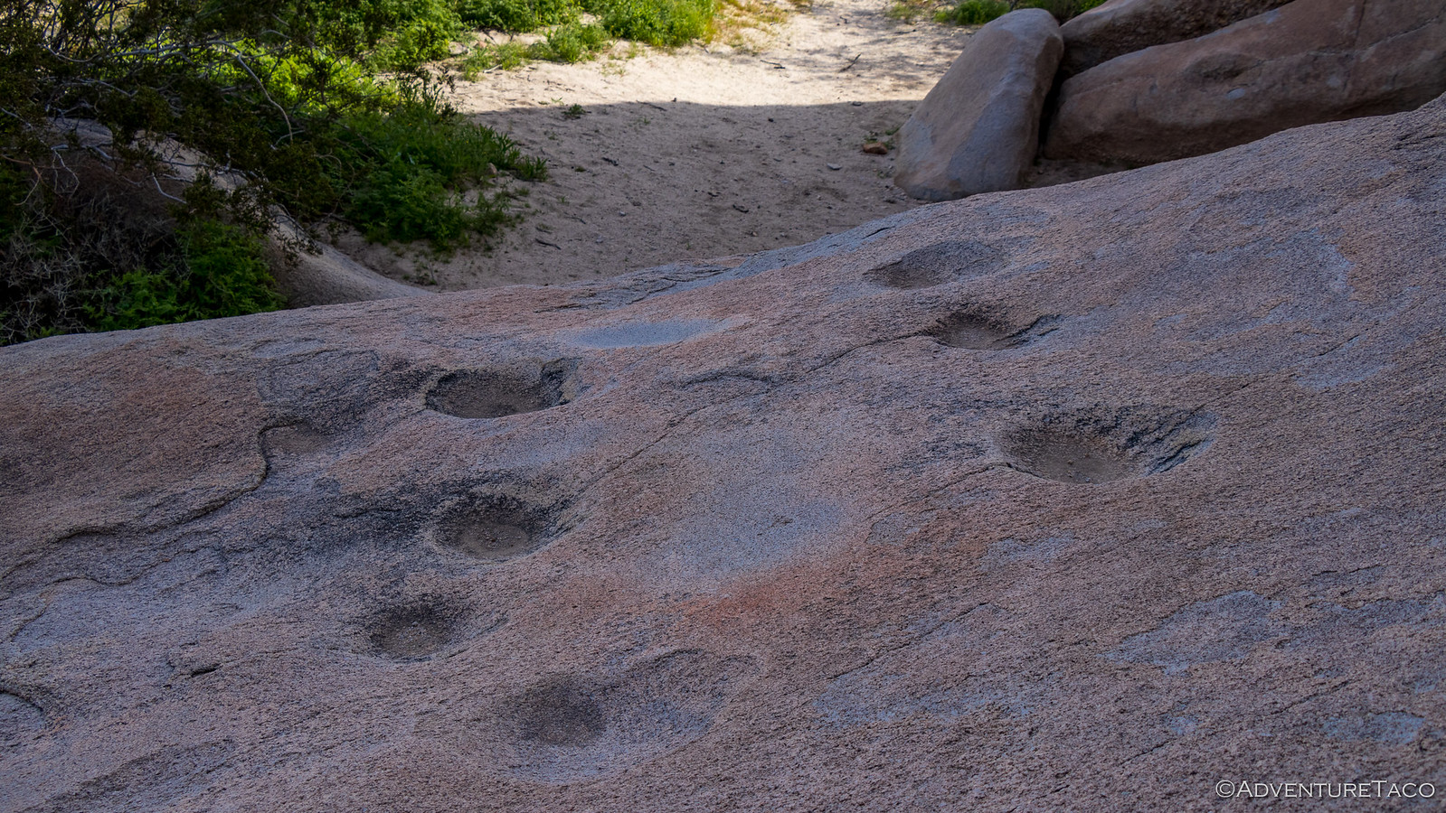
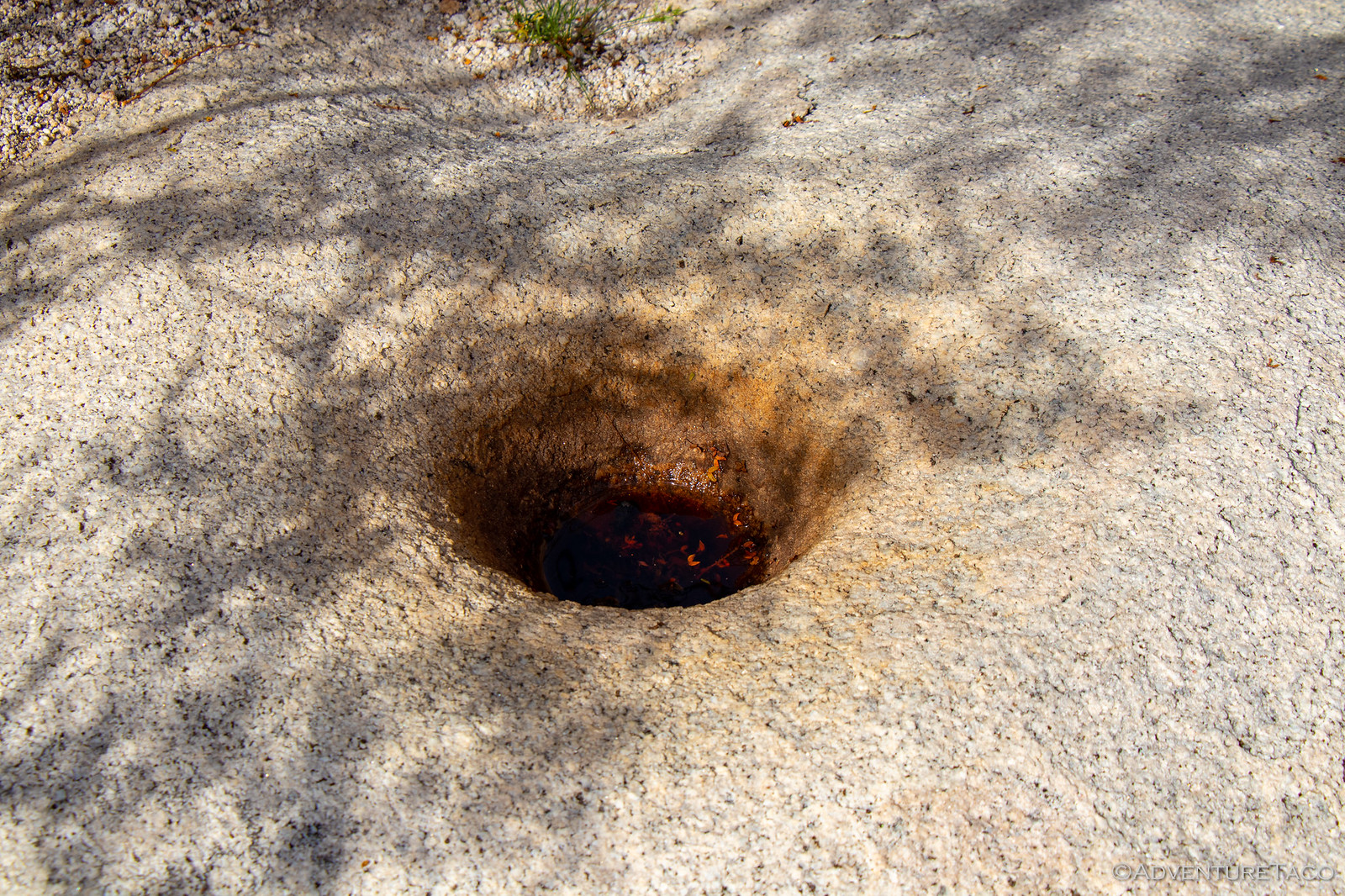
Nearby, some morteros - holes ground into the granite with a rock pestle, as grains, plants, and pigments were crushed for day-to-day life.

40473845023_e94e37cc58_h.jpg


33563681638_734149937a_h.jpg

Re-energized, the Blue Sun Cave continued to elude us. But - sure we were close - we continued to search. And while we ultimately may have searched a bit past "over there," we were eventually rewarded as we spotted the opening to the cave, high up the hill.

40473845213_7e11e653f7_h.jpg


Don't miss the rest of the story, and all the remaining photos - it'd all be included here if it fit. But until then...

Keep reading the rest here
Anza-Borrego Part 6 - Finding Blue Sun Cave


.
 

SDDiver5

Expedition Leader
I absolutely love your write ups! I even went to your site and checked it out and read all your reports. Love it!!

How did you go about planning the routes to take? Some I knew of and some I didn't...I am in San Diego and AB is such an easy drive I would love to get some advise on making a plan/route.
 

turbodb

Well-known member
I absolutely love your write ups! I even went to your site and checked it out and read all your reports. Love it!!

How did you go about planning the routes to take? Some I knew of and some I didn't...I am in San Diego and AB is such an easy drive I would love to get some advise on making a plan/route.
Amazing pictures as usual. What a cool place!
Thanks so much, glad you're both enjoying - Anza-Borrego is definitely an amazing area to explore.

@SDDiver5 - as far as planning routes, the "short" version is that I do a bunch of research (online, library, and talking to folks who I know are knowledgeable of the area) and make a list of "waypoints" I want to see, "trails" I want to hike, and "roads" I want to drive. Then I spend time with Google Earth (and Maps) creating routes that connect those places.

The longer answer, I outline and walk through (sort of step-by-step) in my 4-part Route Planning series of posts. Check them out! :)

Route Planning Series
  1. Planning a Trip/Route Part 1 (Google Earth, GPX, KML, and more)
  2. Planning a Trip/Route Part 2 (Taking the GPX on the Road)
  3. Planning a Route the Easy Way (Google My Maps, GPSVisualizer, and Earth)
  4. Route Planning with Backcountry Navigator XE

41764298065_b1ef05e20a_o.jpg
 

turbodb

Well-known member
Anza-Borrego Part 7 - So. Many. People.

Hills of the Moon Wash turned out to be a great place to spend the night - the the air was calm, just a light breeze that kept us cool and comfortable through the night. The surrounding hills also afforded plenty of privacy, and afforded us a bit of relief from the bright moon, once it got below their ridge lines.

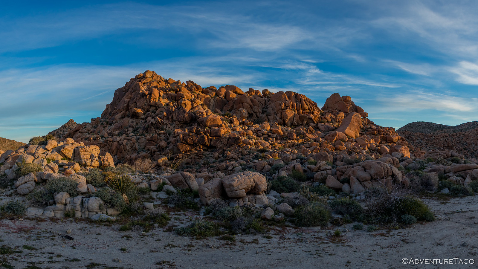
Of course, the hills - and lack of any clouds in the sky - also meant that we weren't going to see the horizon at sunrise, instead settling for the orange glow that accompanies the waking of a new day.


A few quick photos and I was back in bed - our agenda for the day a lighter one than the previous day, and hopefully one that would afford us a bit slower pace so we could really enjoy our last full day in the park.

We did some reading and discussed our plans for the morning a bit before getting up for the second time, this time with a bit more light in the sky, the muddy badlands around us just starting to take on their colorful hue.


Today would be the day that we'd once again try - and finally succeed - installing the stargazerless rain fly on our CVT @CascadiaTents Mt. Shasta, hopefully solving our problem of the rain fly never drying out because the plastic windows never absorb heat from the sun once and for all. I got going on that while @mrs.turbodb prepped breakfast - Cheerios and strawberries - for us to enjoy as we watched the sun rise into the sky.


Breakfast done, our plan for the day was to head toward town and a refuel, and then to a few trails in the north of the park. Two of the trails, we'd previously planned - Lower Coyote Canyon and Sheep Canyon. These were trails that others before us had mentioned as "not to miss," so we wanted to make sure we could get out to see what they were all about. Turns out, we added Middle Willows Wash to this trail system as well - which we'll get to in a bit. We also decided that we'd add a couple new trails since we had time for it, and Rockhouse Canyon and Butler Canyon sounded pretty cool in Anza-Borrego Desert Region: Your Complete Guide to the State Park - a book we'd brought along for history and descriptions of the places we visited.

So, a little later than usual, but still early enough that we were in no rush, we headed out of the badlands and back towards civilization.


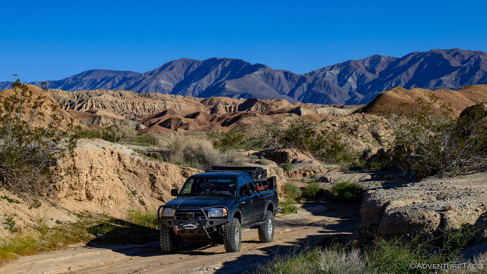
To get there, we wanted to stay on dirt as much as possible - no point in futzing around on pavement when a reasonable dirt track could get you to the same place, so rather than track out the way we'd come in, we decided to head west on San Felipe Wash, skirting the south end of the badlands and providing us with yet another surreal, green, desert experience.


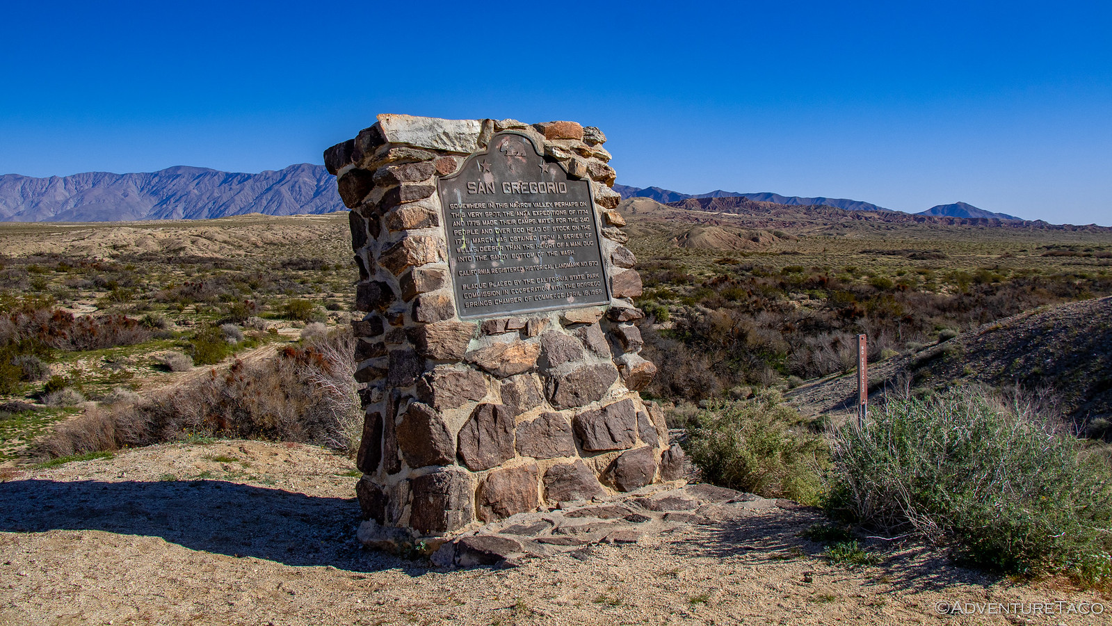
Along the way, we stumbled upon the San Gregorio monument - placed by the park, this plaque commemorated the Anza expeditions of 1774-1775. Their group, 240 people strong, with 800 head of livestock obtained water from wells they dug by hand in the sandy wash. Even today, this part of the valley contained more vegetation and was greener than it's surroundings - a testament to the water underground.


Glad to have spotted to monument and to have had the chance to take in a bit more history, we headed back to the truck, which we'd parked on the lawn that was strangely so pervasive on our trip to the desert.


A quick look at our track told us that we didn't have long to go on San Felipe Wash before we'd hit a road that I'd been wondering about since I'd started looking at the route we were planning - Borrego Sink.

This was a road that to me looked like it would be essentially a dry lake bed, with no real difficulties whatsoever. However, I'd found several resources that noted - but did not explain why - it as one of the hardest roads in the entire park! From the name, I wondered if there was perhaps some sort of hole or quicksand that in wet weather could make the road impassable - and I hoped that whatever the reason, that we'd have no issue running it.

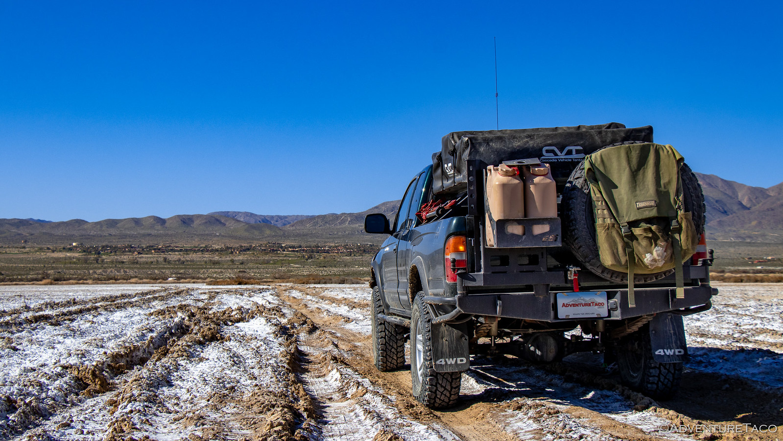
As we approached, it quickly became clear why this could be a difficult road. Sure enough, it was a dry lake bed, but it was a dry lake bed made of silt and salt. Any rain at all was likely to turn this into a muddy mess, impassable by nearly any vehicle.

The last big rain had been only three days earlier. We drove in.


Cautiously at first, it soon became clear that while the ground was soft, it was going to support the truck as long as we didn't venture off the road, and so we continued on - happy that we didn't have to backtrack out, the shortest re-route being 25 miles or so behind us.

Through Borrego Sink, Borrego Springs wasn't far away, and we used the opportunity to top off the fuel tank before heading out again - up Rockhouse and Butler Canyons - in search of lunch and possibly an elephant tree.

The roads here were reasonably smooth, and once we got past the plethora of camping at the head of Rockhouse Road, we were happy to escape civilization once again - the super-bloom wildflowers and an eventually impassable rocky road, the perfect place to eat lunch.


To give us as much shade as possible, I'd oriented the truck perpendicular to the road and @mrs.turbodb made another delicious round of turkey, salami, cheese sandwiches, which we munched on while admiring the green-and-yellow desert hills around us. We hadn't found the single elephant tree mentioned in the 30-year old book, but that was fine as we headed back the way we'd come and towards a set of trails that I'd been looking forward to the entire trip - Lower Coyote Canyon and some of it's offshoots, especially Sheep Canyon.


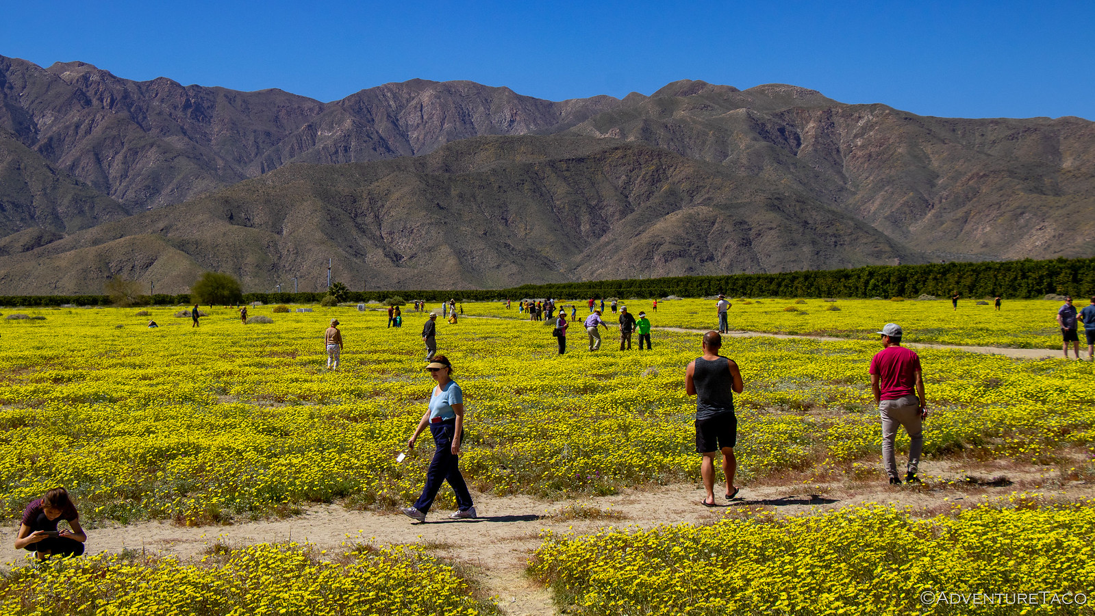
These were roads that - I'd heard from multiple sources - were "not to be missed," and so it was with great anticipation that we started out Coyote Canyon. Having seen many varieties of wildflowers throughout the desert over the last couple weeks, we got a good laugh out of the throngs of people immersing themselves in the "super-bloom" of dandelions in an un-planted field along the side of the paved road.


Our amusement soon turned into a bit of apprehension however, as we continued out Coyote Canyon Road - there were tons of people out here and we were crawling along just above walking speed - minivans mixed with Jeeps, and even a Tesla or two trying to brave the road in order to take in the bloom. It was not our cup of tea, though we did stumble across an Expedition RV from our home state, which we thought was cool, if a little over-compensating.


Don't miss the rest of the story, and all the remaining photos - it'd all be included here if it fit. But until then...

Keep reading the rest here
Anza-Borrego Part 7 - So. Many. People.


.
 

Forum statistics

Threads
188,029
Messages
2,901,368
Members
229,411
Latest member
IvaBru
Top