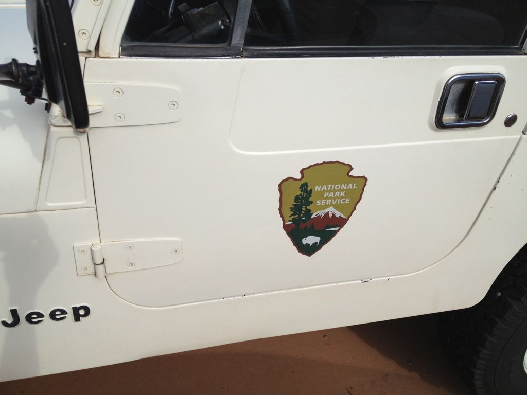
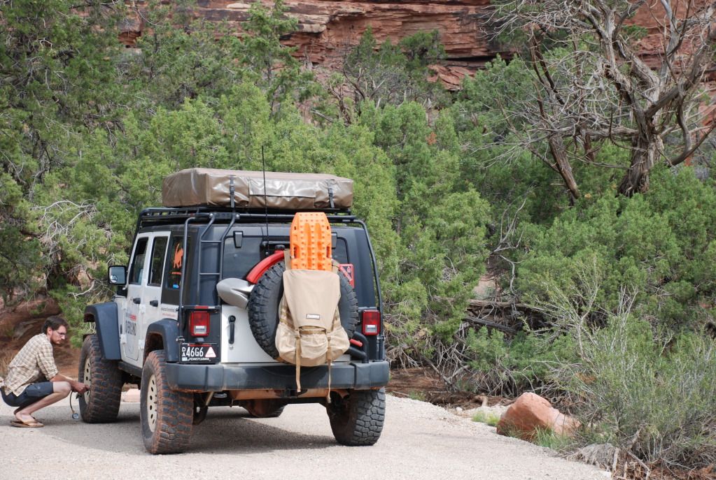
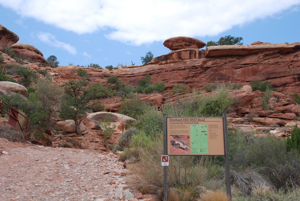
East to West, MLO's Utah Adventure - 2012

Main Line Overland

Supporting Sponsor
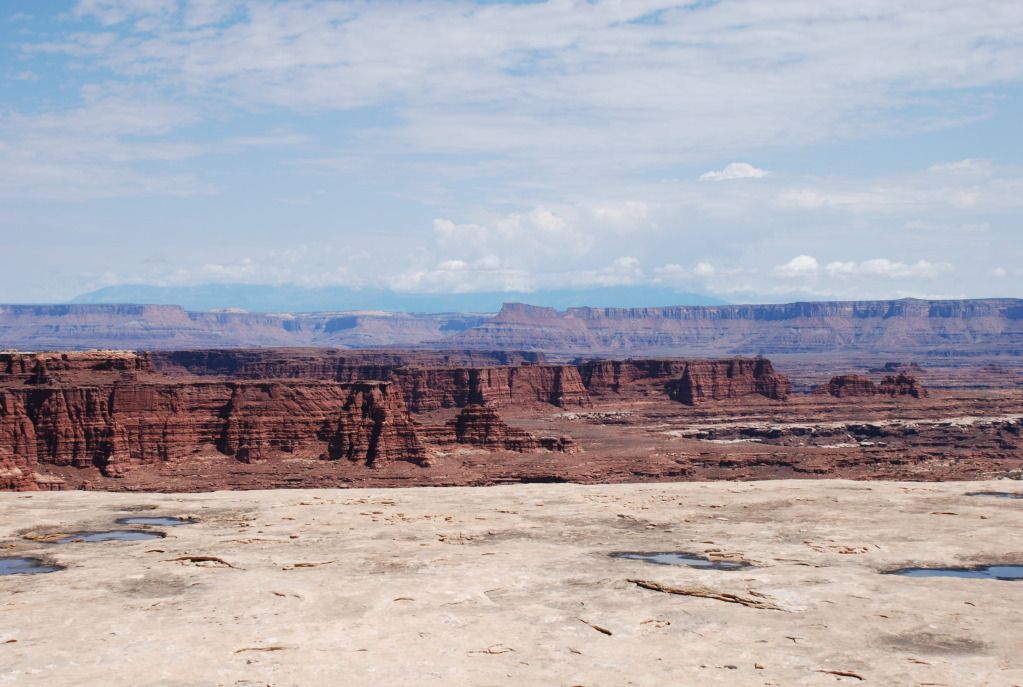
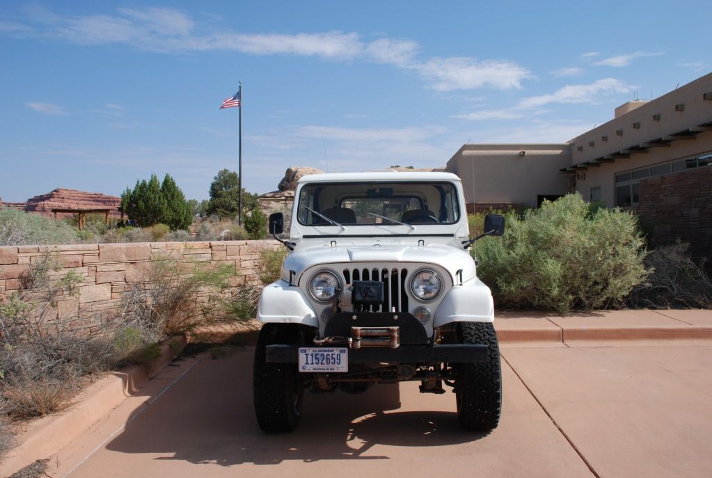
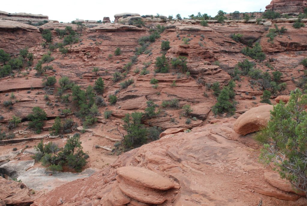
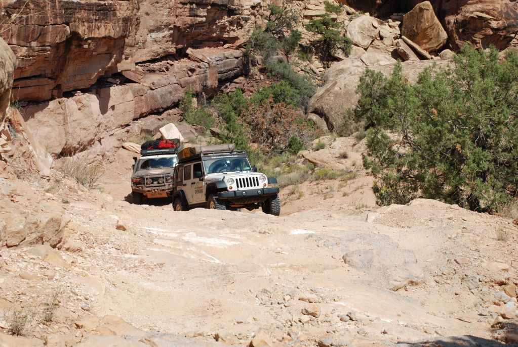
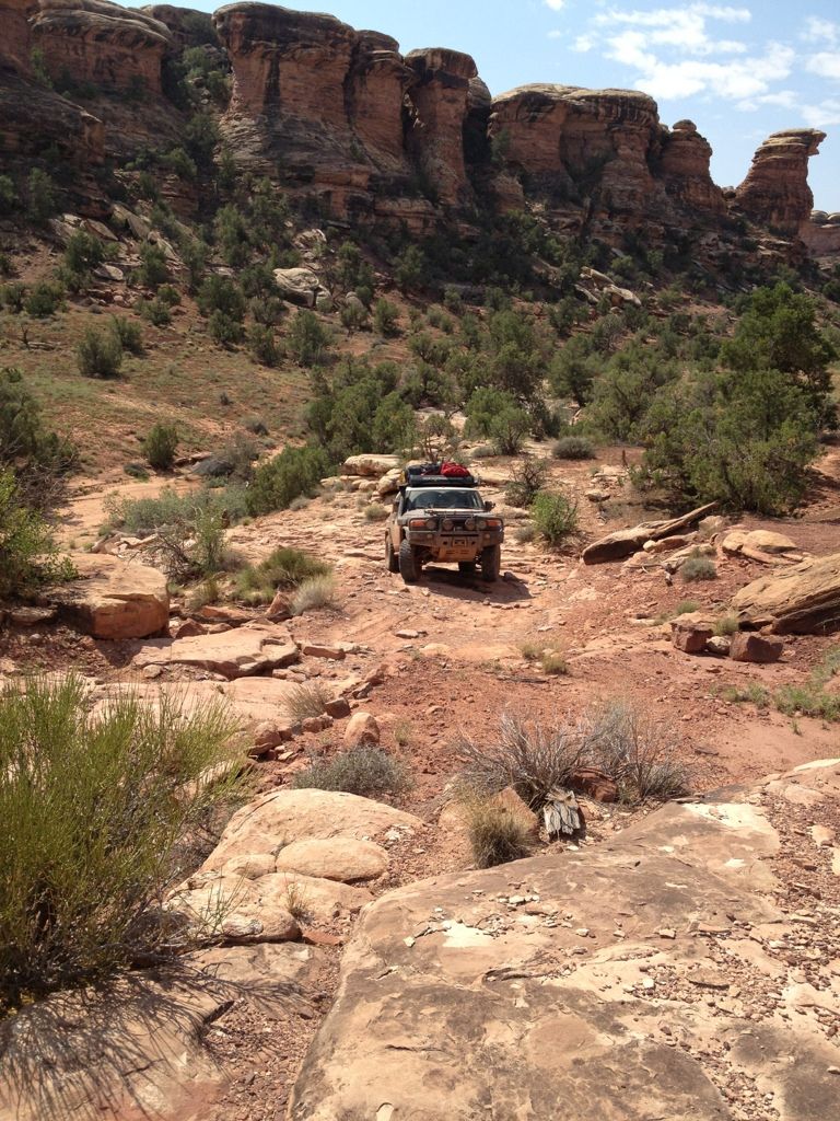
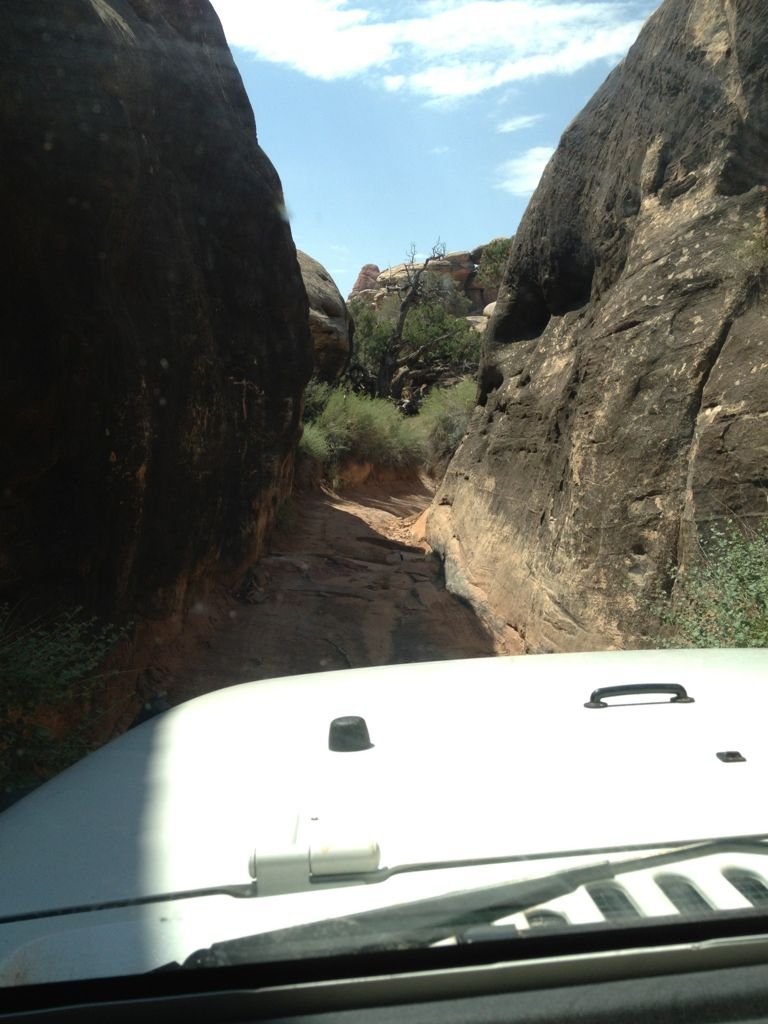
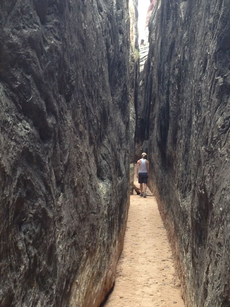
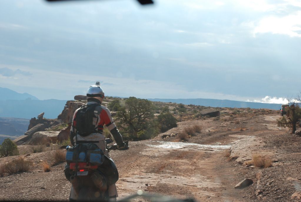
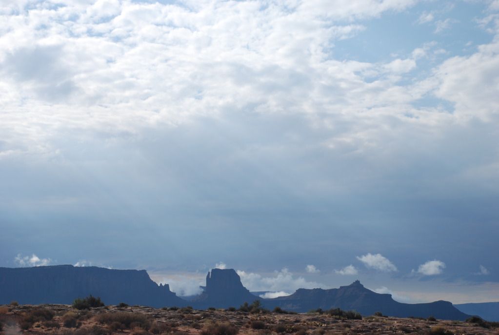
We got up early and hit the trail again. Knowing that we were headed to a big wash-out about 30 miles up the trail past Potato Bottom. We knew that many groups before us were forced to turn back and retreat the 70+ miles of trail they had already covered, but we wanted to determine for ourselves if it was really impassable.

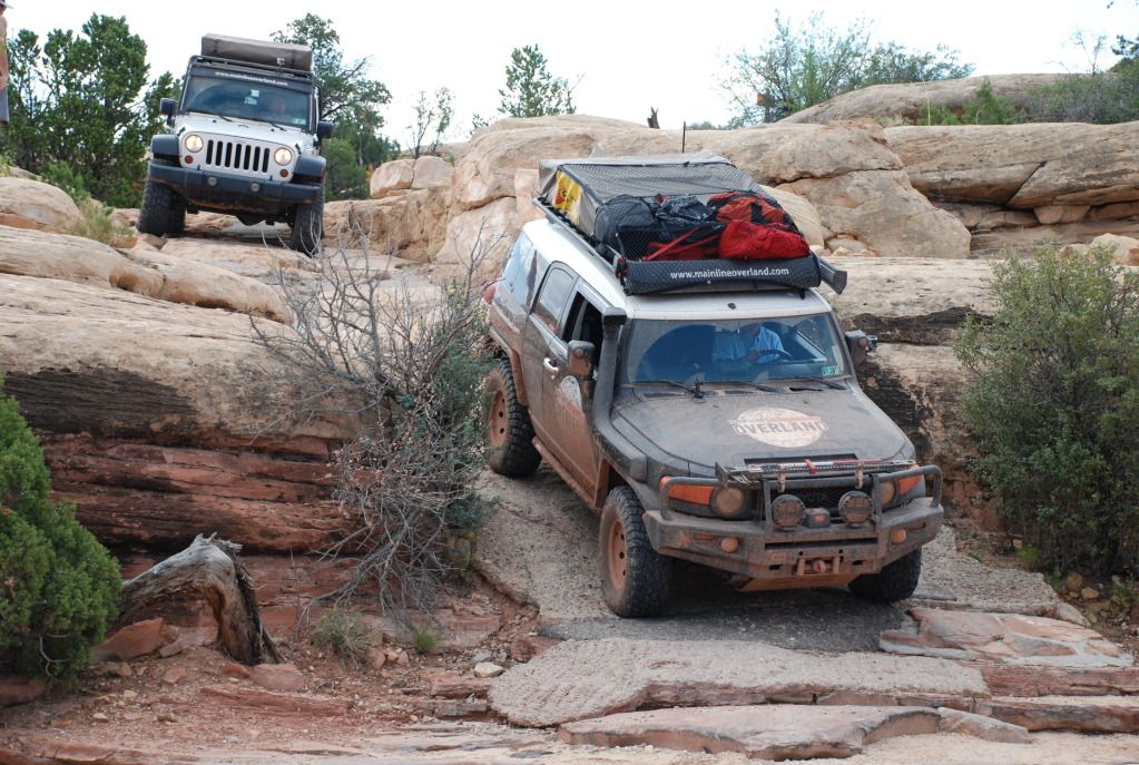
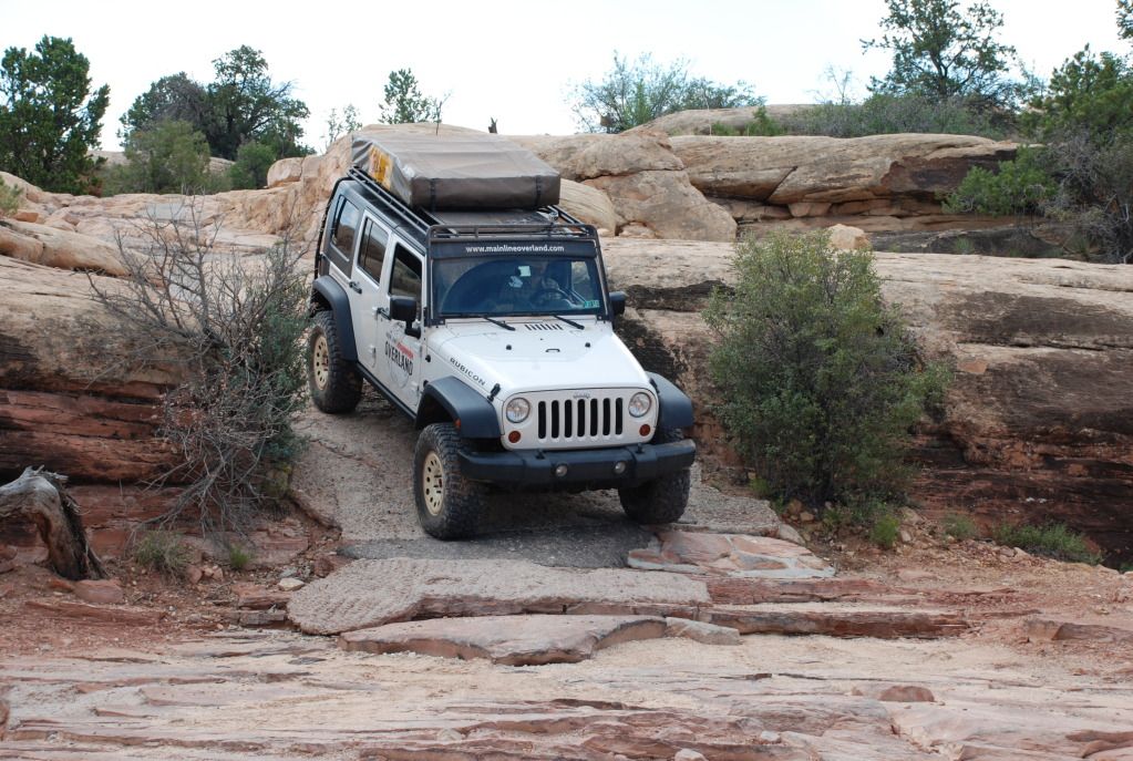
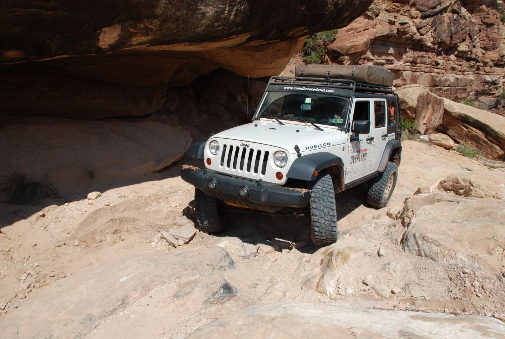
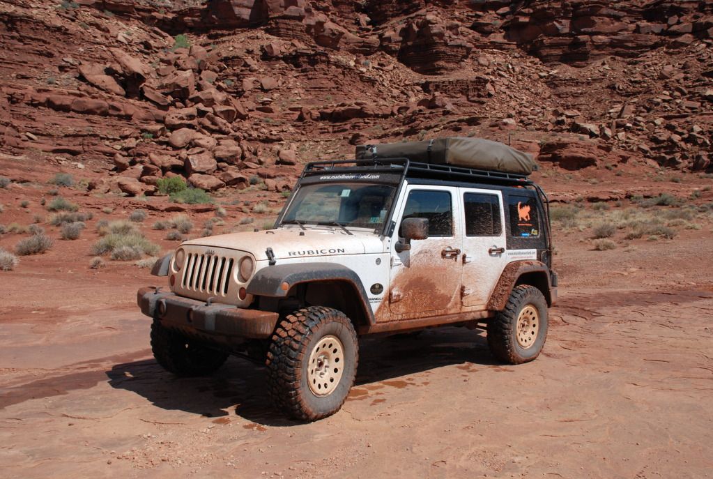
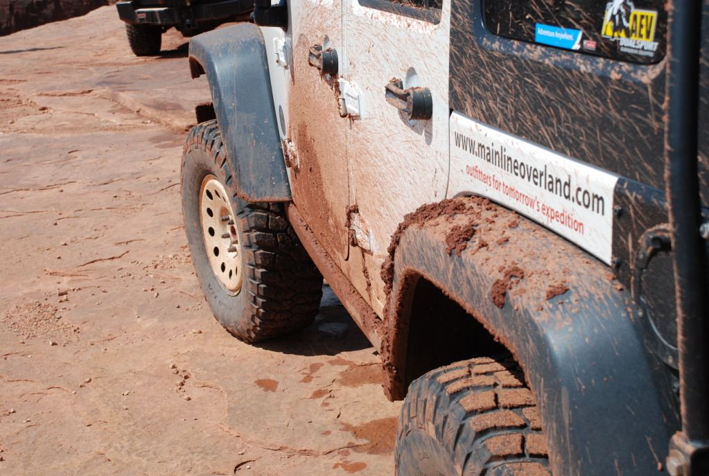
We came upon Potato Bottom where we found two long stretches of deep mud ruts they we were able to get through. We then proceeded up the steep cut in cliff face and down Hardscrabble.

ImageUploadedByTapatalk1345936823.716223.jpg

ImageUploadedByTapatalk1345936551.699554.jpg

ImageUploadedByTapatalk1345936759.383536.jpg

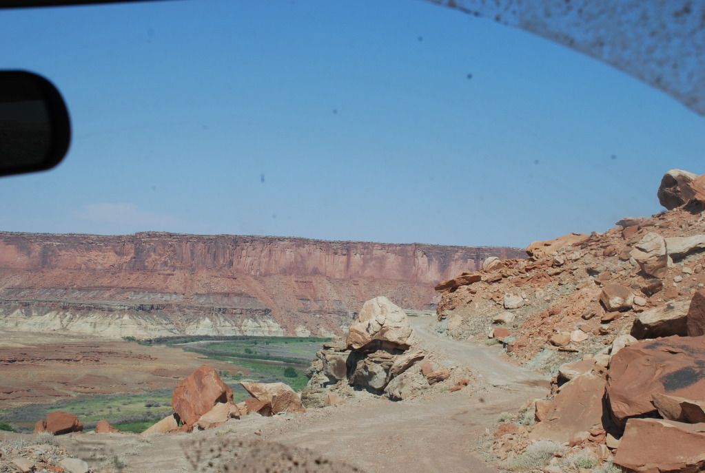
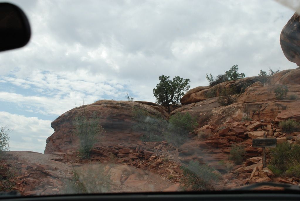
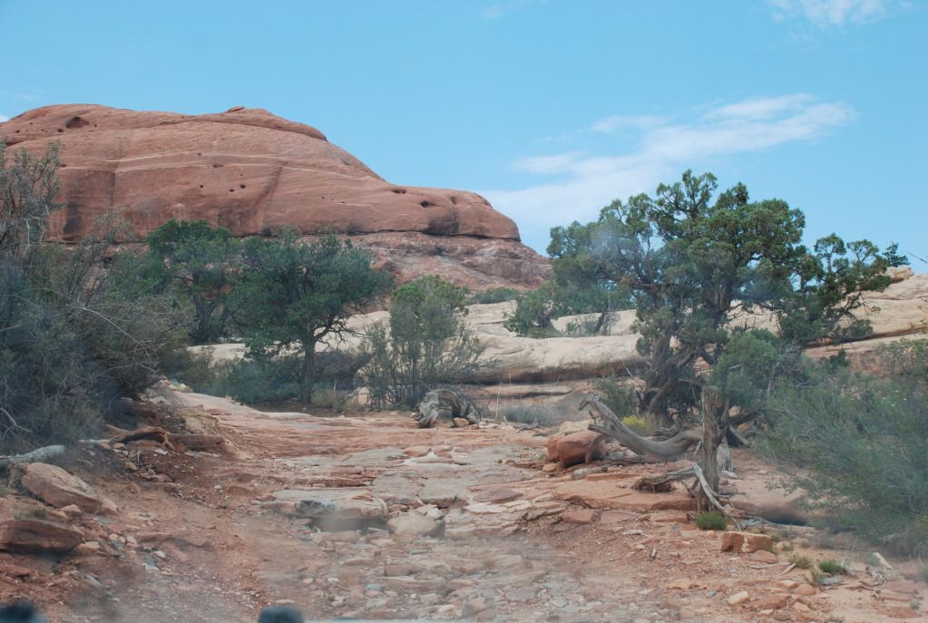
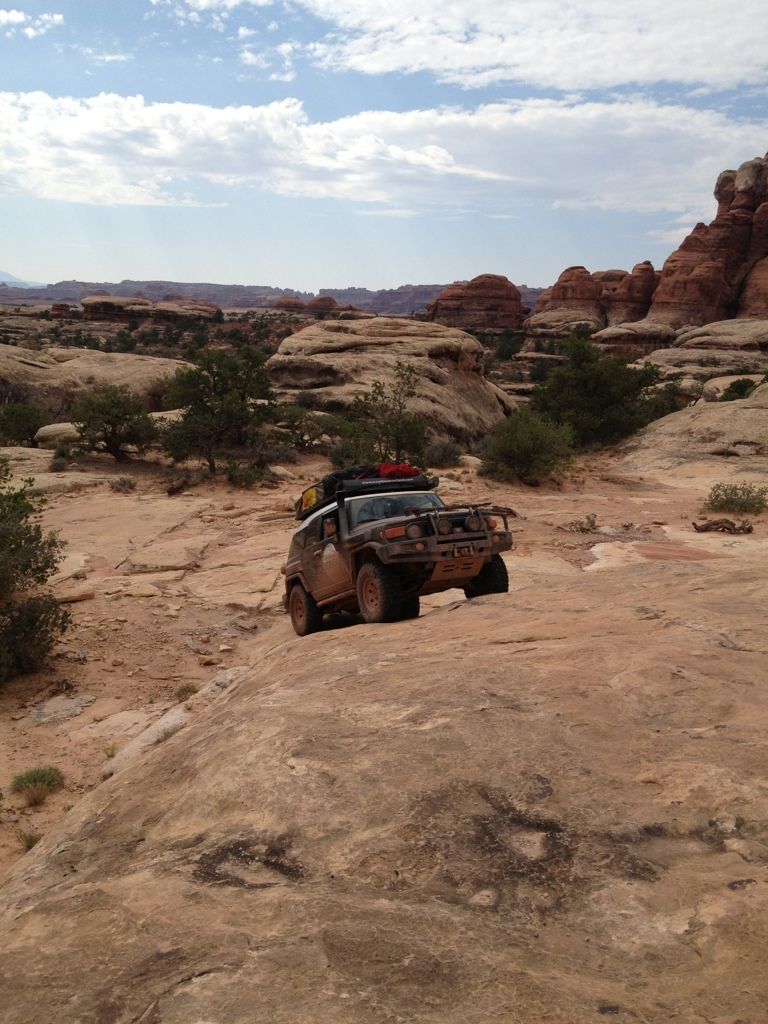
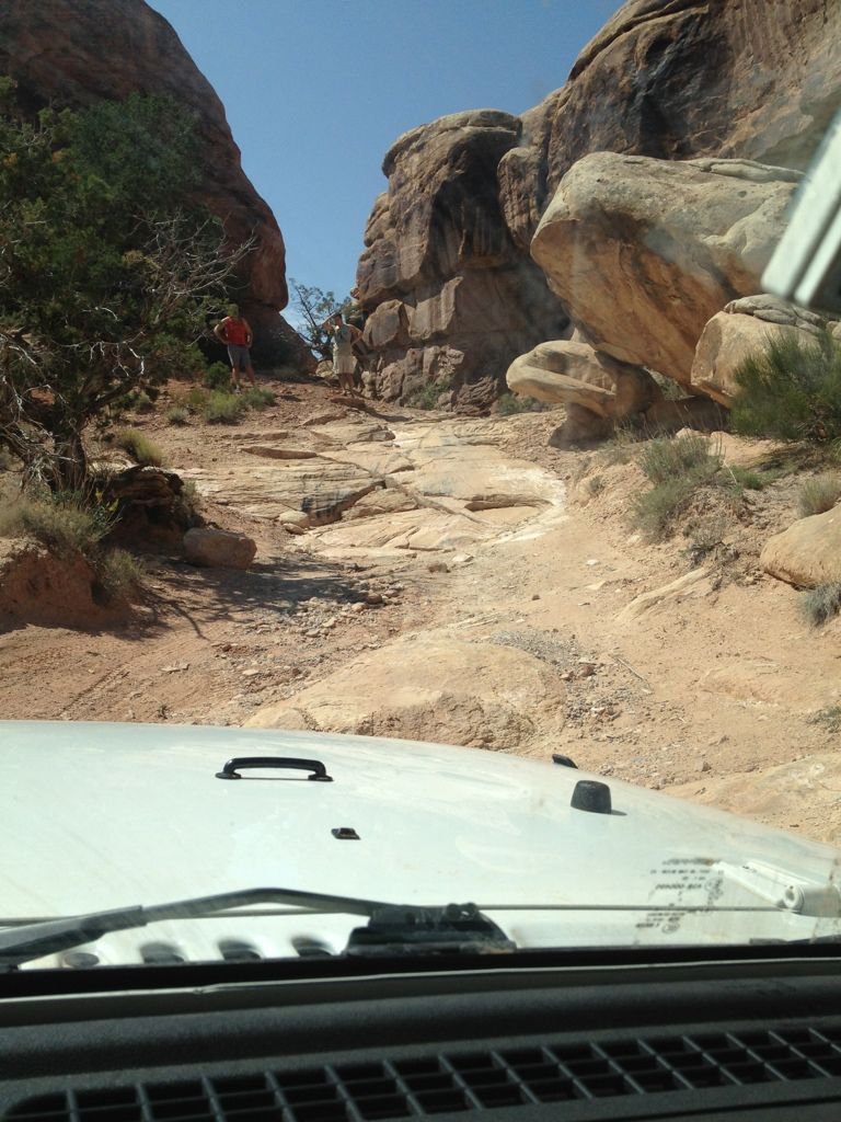
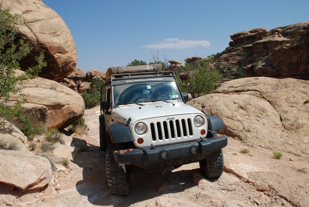
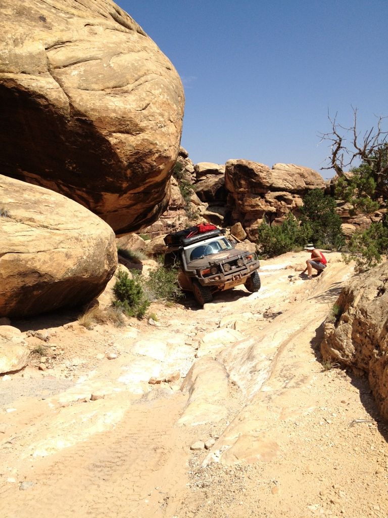
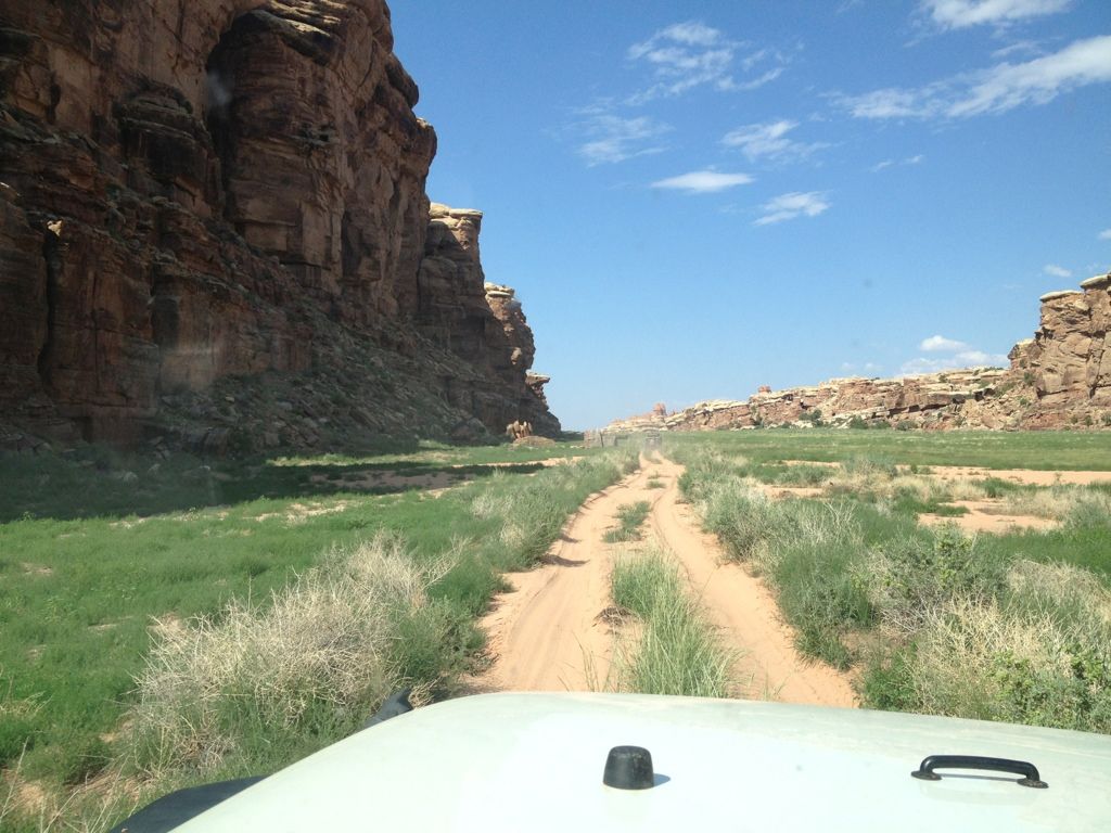
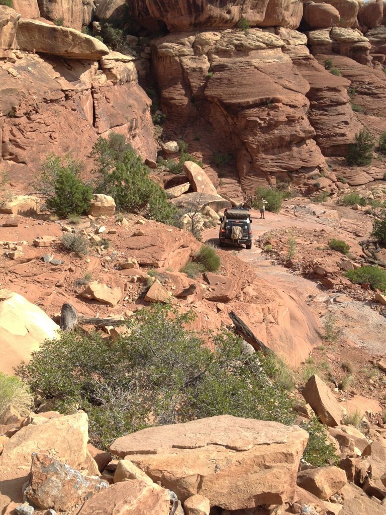
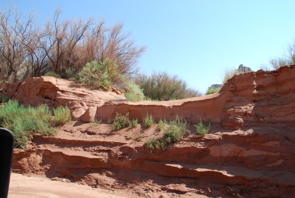
We descended and past the next campsite. Right about when we came to the Upheaval Canyon trail, the bespoke wash-out presented itself. I looked as though a river had cut itself into the landscape overnight, wiping out a huge portion of the trail. Where the trail used to be was about a 8 foot wall of dirt and sand. There were some motorcycle tracks we traced that found their own path. We decided to take another route around the sand and potential problem areas. We drove directly up the wash, which was a little slick but had packed down after 24 hours of no rain. The wash meandered for about 200 yards, then we turn back onto the trail which was very messy, basically gunning it to get up a sloped slick section.

DSC_0336.jpg


DSC_0337.jpg


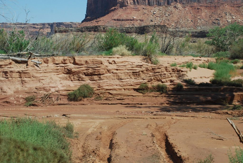
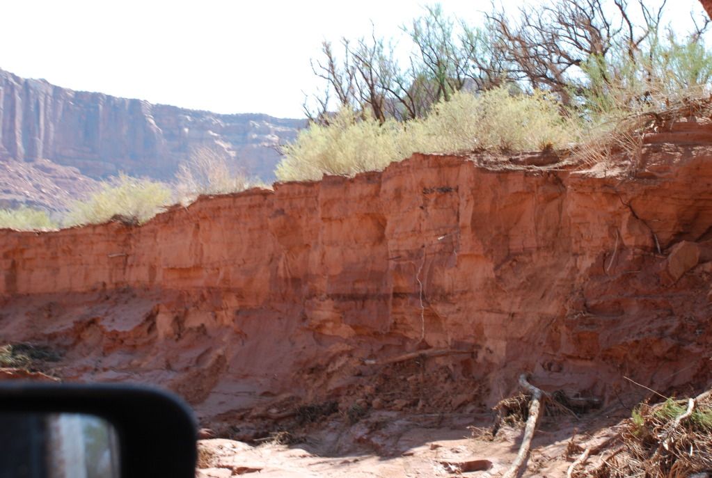
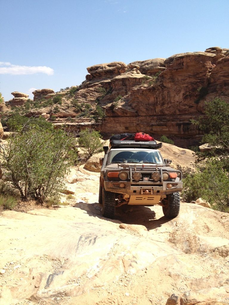
Where the road used to be:

DSC_0340.jpg


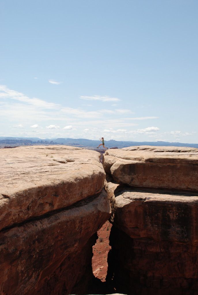
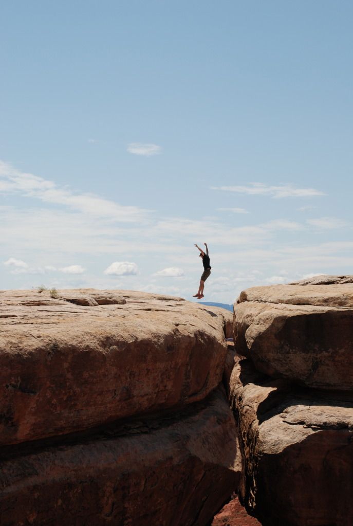
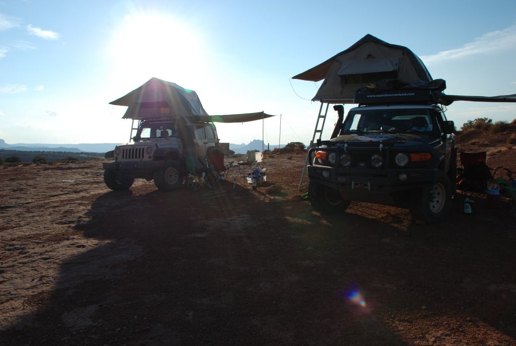
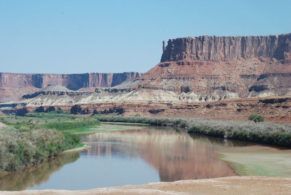
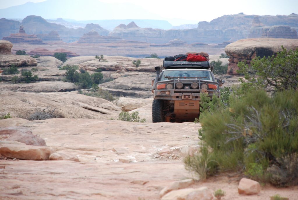
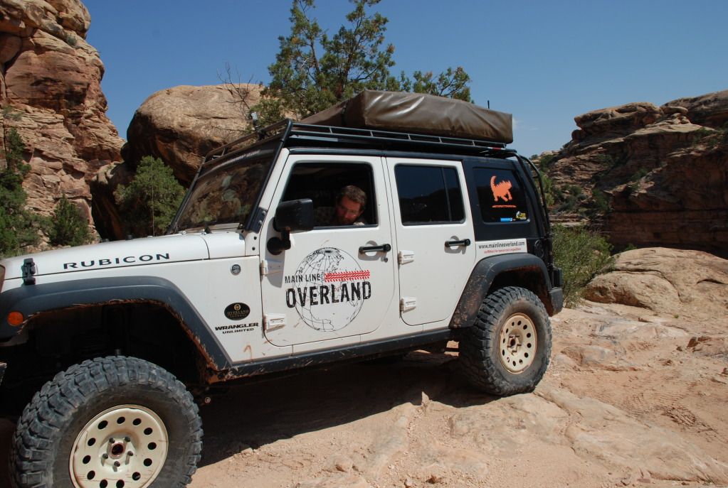
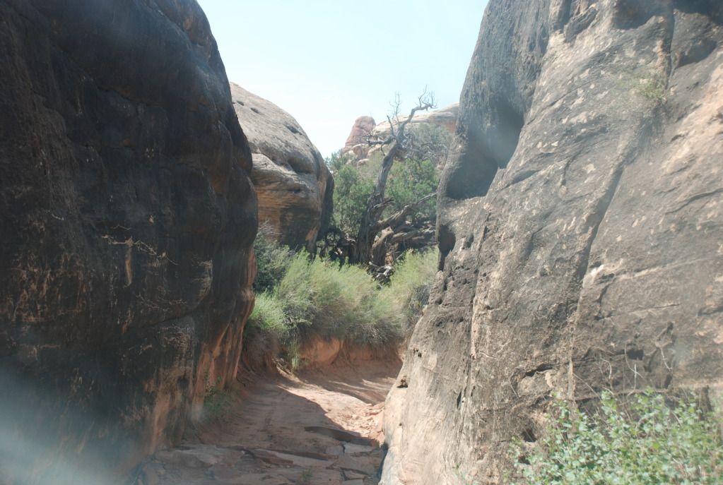
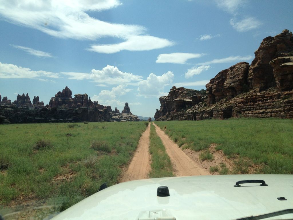
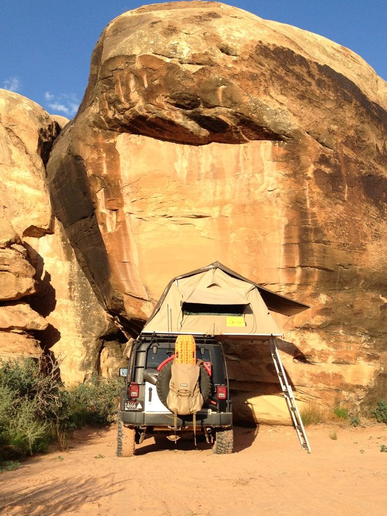
We were elated we had made it through where others had failed, mostly because we didn't want to retrace our path out, and we now had plenty of gas to continue on without tapping into our auxiliary supply. A little further down the road we found our next campsite, Labyrinth where we will camp along the Colorado River tonight before completing the trail tomorrow.
 
Last edited:

Main Line Overland

Supporting Sponsor
We completed the White Rim Trail and headed back to the Visitor Center to check-in and let them know that we were OK, considering all of the storms that had rolled through and what not. When we talked to the Ranger she thought we had only driven out to Potato Bottom and turned back, as everyone else before and even some after us had. We corrected her and said that we were able to make it all the way through the trail, which blew here away considering the portions of the trail on the west side they knew had been washed away. The cars were completely covered in mud when we got off the trail, and when we came back out of the visitor center there was a bus load of turists off-loading and a crowd formed around both cars with the jaws gaping, it was priceless.

A few more shots:

Dualsport bikes that went out ahead of us but then turned back at the wash-out.
DSC_0107-1.jpg


DSC_0111-2.jpg


DSC_0160.jpg


DSC_0176-1.jpg


The hills have eyes :)
DSC_0169-1.jpg


Potholes at White Crack, like the surface of the moon
DSC_0185.jpg


DSC_0188.jpg


DSC_0195-1.jpg


DSC_0251-1.jpg


Jumping the crack
DSC_0227.jpg

DSC_0242-1.jpg


DSC_0275-1.jpg


DSC_0324.jpg


DSC_0326.jpg
 

Main Line Overland

Supporting Sponsor
Needles District

After the White Rim Trail we went back into Moab and refueled and resupplied for our next backcountry stint. I also hit the car wash to remove the mud that was becoming adobe brick on the underside and sides of the car. Solar panels on the roof don't work too well when they are covered in mud. We headed south of Moab to the Needles District of Canyonlands National Park. We stopped into the Visitor Center to pick up our backcountry permits. We spotted this parked outside.

DSC_0131-1.jpg


Meet Needles Nelly, a long active Park Service vehicle that still hits the trails. What a classic!

DSC_0134-1.jpg


DSC_0135-2.jpg


2A8B98AA-9E34-4E31-AC6F-39ADF594B57D-5950-000004762580DAE4.jpg


323C65B2-5B2F-426F-BACF-4CF8EF221C27-5950-00000476529687F7.jpg


E744F8CD-296B-4A25-B7C1-5428BF91ABB7-5950-000004763743E540.jpg


11DF4B0C-AECA-4022-B51C-AEEAE4C1F261-5950-00000476145377AA.jpg
 

Jim K in PA

Adventurer
Great pictures guys & gals. And much respect for doing what you are SUPPOSED to do when faced with a challenge like a trail washout. Find a way around! That is the ENTIRE REASON you build up a rig. I would have done the same as you - that is the challenge I relish.

Love the CJ still in active service! But only because it is in dryland. No rust!

Keep the updates coming.
 

Main Line Overland

Supporting Sponsor
Great pictures guys & gals. And much respect for doing what you are SUPPOSED to do when faced with a challenge like a trail washout. Find a way around! That is the ENTIRE REASON you build up a rig. I would have done the same as you - that is the challenge I relish.

Love the CJ still in active service! But only because it is in dryland. No rust!

Keep the updates coming.

Jim,

Thanks, we were happy to see the trail all the way through. We saw another local backcountry offroad guide outfit on the Elephant Trail in the Needles District and they had heard about the wash-out and gave us props for completing it. That made us feel pretty good, considering these guys run the trails around the area countless times a season.

Matt
 

Main Line Overland

Supporting Sponsor
Elephant Hill

We picked-up our backcountry permits at the Needles Visitor Center, and spoke to the Ranger before hitting the trails. A number of trails had been closed due to flooding. Luckily our planned trail, Elephant Hill was still open, so we headed for the trail-head. We aired down in the parking lot before hitting the trail because one of the most difficult portions of the trail is right at the start, with a steep climb and some dug-out portions of the trail to get through.

DSC_0005-1.jpg


DSC_0015-1.jpg


Here are some shots of us on Elephant Hill and the rest of the trail:

DSC_0016-2.jpg


DSC_0018-2.jpg


DSC_0021-2.jpg


DSC_0029-1.jpg


DSC_0031-1.jpg


DSC_0034-1.jpg


DSC_0035-1.jpg


DSC_0036-1.jpg


6BF4429C-1091-4470-BD4D-4304CC84E060-1294-00000057F58A1474.jpg


The backside of Elephant Hill
DSC_0048-1.jpg


DSC_0049-1.jpg


As if it wasn't challenging enough...
DSC_0050-1.jpg


63C28024-0E96-4CD6-99CD-8A133F640A84-1294-00000058A60834D6.jpg


DSC_0065-1.jpg


DSC_0067-1.jpg


DSC_0069-1.jpg


DSC_0074-1.jpg


6D2E3E11-4B00-4F2D-9BC3-B99E30AD70BE-1294-000000582E767953.jpg


DE51EA95-2A10-418D-BE8A-0D4FA1A47F68-1294-00000058509C032E.jpg


5FB72F2E-2CA4-4A6D-A3E3-1EF2FACC9EA8-1294-000000589183EB86.jpg


The Devils Pocket

DSC_0092.jpg
 

Ace Brown

Retired Ol’ Fart
I probably would have gone around the washout too, but leaving the trail could subject you to some serious fines, particularly in a National Park. I did the White Rim in a supported MTB trip and recall our guide telling us they had to keep the truck very close to the road when stopping for lunch, etc. like 20' or something close to that. Designated campgrounds were the only exception. I hope this doesn't sound like a lecture but it could save someone from a big fine one fine day (pun intended).

Ace
 

Main Line Overland

Supporting Sponsor
I probably would have gone around the washout too, but leaving the trail could subject you to some serious fines, particularly in a National Park. I did the White Rim in a supported MTB trip and recall our guide telling us they had to keep the truck very close to the road when stopping for lunch, etc. like 20' or something close to that. Designated campgrounds were the only exception. I hope this doesn't sound like a lecture but it could save someone from a big fine one fine day (pun intended).

Ace

Ace,

Good point, you should not stray off the designated marked trail. We had been in contact with one of the rangers leading up to this run and knew we were working within the boundaries he recommended and had allowed others to do prior. In truth we did no venture far from trail, or in this case, where the trail *used* to be :).
We were reassured by the rangers after that we were fine in doing what we had done as well. Others who had come that far and turned back had to be rescued with spare fuel from the rangers in some cases.
 

Main Line Overland

Supporting Sponsor
Elephant Hill con't

Here are some more Elephant Hill photos.

Devils Pocket
031C8A44-0EDF-4CB0-8F22-0F4157CB5BEC-1294-00000058E69E4B2F.jpg


Devils Lane
23A14DCB-76F4-44E1-9032-9C8526379C23-1294-0000005909969CF5.jpg


We took Devils Lane down to Chesler Park and my wife Kristen and I hiked the Joint Trail. I highly recommend this short 3 miles round trip hike. Once we entered the tighter rock sections we found some amazing spots, including this cave where we found hundreds of rock stacks.

BB89C78E-4FED-4B93-BA07-D2494D97F8CE-1294-00000059267C0E12.jpg


9E4A5214-709A-4607-B9A7-509F6E03A79B-1294-00000059390411D5.jpg


C7744B25-1BB1-4209-82AB-A369C7672267-1294-0000005953455E25.jpg


We created our own before we left to head back to the vehicles.
BB546FDB-B83B-4E4E-A3D9-026AC91D8455-1294-000000596746C429.jpg
 

Main Line Overland

Supporting Sponsor
We headed back up Devils Lane and camped at Devils Kitchen.

A5D69916-3DB4-4BD5-A11D-24FC0524F278-3133-000002A901911DF3.jpg


Here are some shots of where we stayed:

D2EB5348-FB7A-4C49-AE57-6E8E71CEE016-1294-00000059876834BC.jpg


2174B0A4-F178-4B3C-BA3F-6B065BC43C1C-3133-000002A92CCC17BA.jpg


F14CE212-20F0-45B9-ACDA-CF04183020D1-1294-000000599D14AD45.jpg


DSC_0123.jpg


We used our Goal Zero Light-a-Life camp lights powered by our Goal Zero Extreme 350 solar power pack which was charged daily by the roof mounted solar panels on our JK. This made for a great hang-out spot in an amazing and remote location.

B7A1DF4F-454F-45F6-85CB-D5D110305FAF-1294-00000059B597EC5D.jpg


942FDC12-B15F-4F63-B990-F6AC362E429D-3133-000002A95A5AF7A5.jpg


1CB663F6-5656-40A5-A898-654CAE028014-3133-000002A94D1101C3.jpg


Here is Peter making his way back down Elephant hill on our way out the next morning

DE43226C-4E93-49FB-B8D5-0E02730D4502-1294-00000059C6FF4FF4.jpg
 

Mad_Texan

Adventurer
Brings back great memories from April whenI was out there with my dad!

Starting to wonder if you guys are going to make it back for your open house...:smiley_drive:
 

Attachments

  • _MG_0994.jpg
    _MG_0994.jpg
    521.8 KB · Views: 4

Forum statistics

Threads
188,727
Messages
2,909,549
Members
230,891
Latest member
jesus m anderson
Top