North Lake Tahoe / Donner Summit / Cisco Grove / Monitor Pass - Road Trip
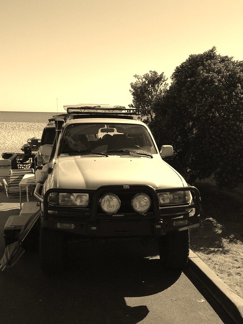
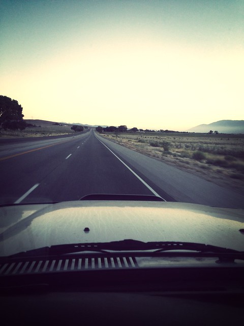
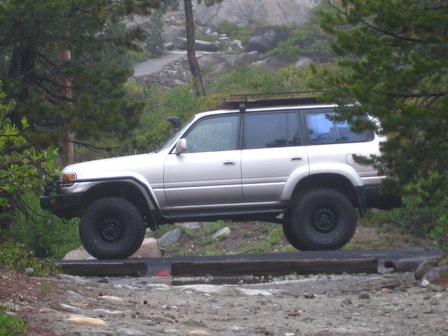
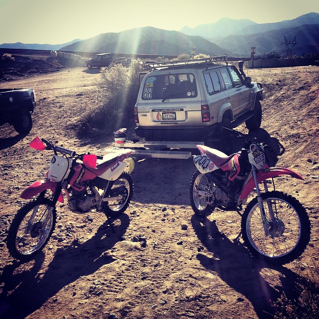
My work, on rare occasions has be on some little trips that I try to make the most of by also making some very short off-pavement trips in the ADV80. But this is HWY395 and it too is very scenic along the mountain range. Sometimes it can seem quiet lonely along this route and or you can find soulstice in the solitude.
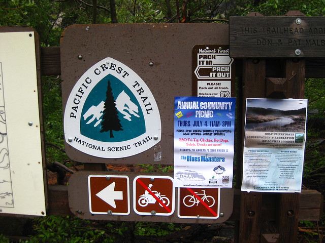
Atop of the Donner Summit the PCT Pacific Crest Trail crosses and I came upon it not looking for it.
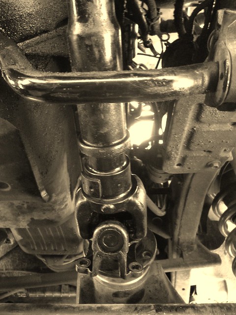
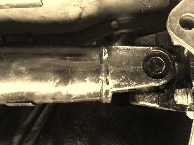
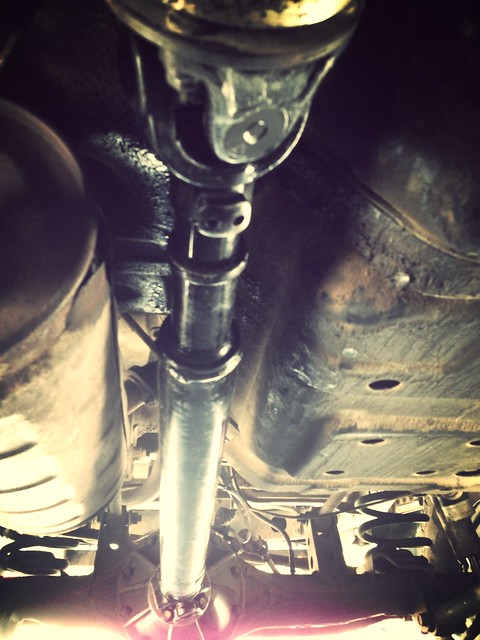
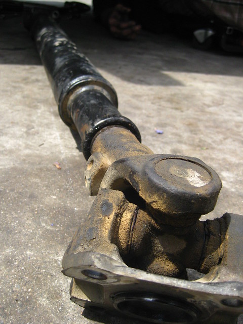
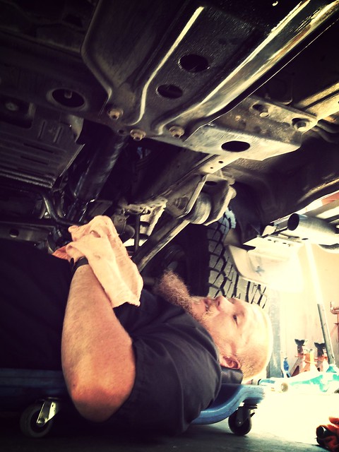
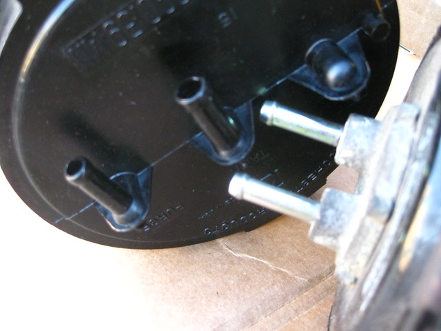
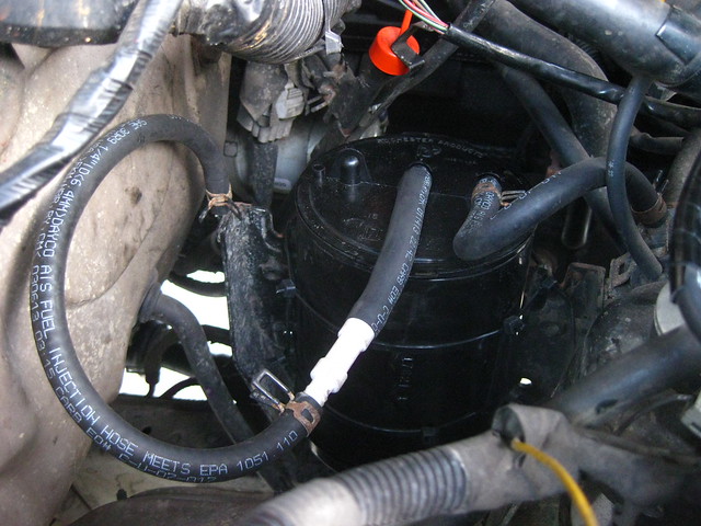
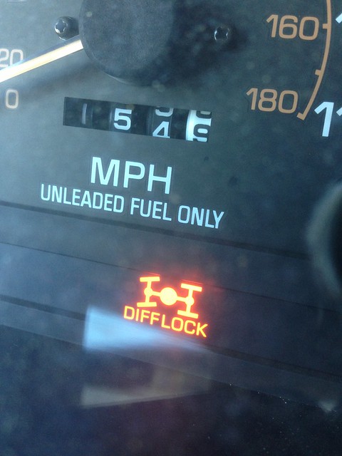
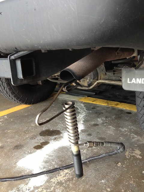
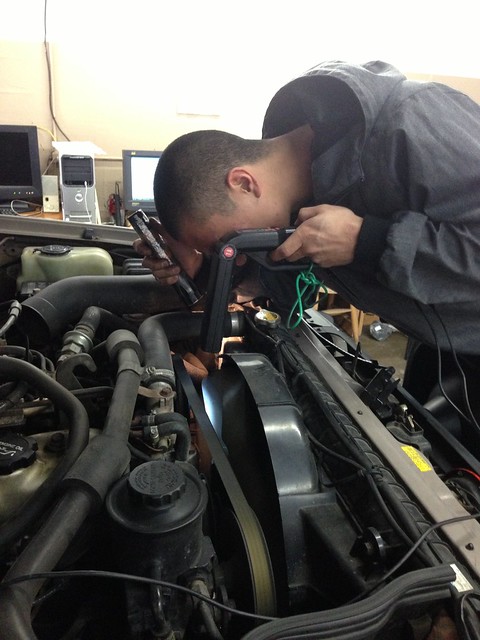
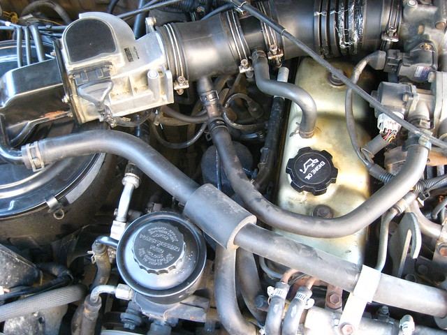
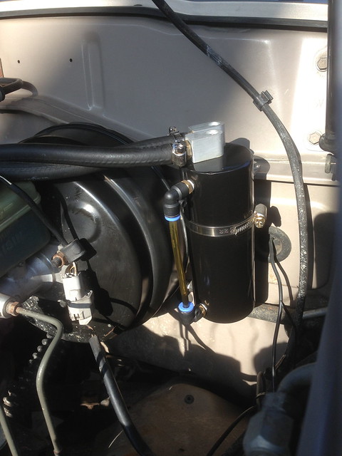
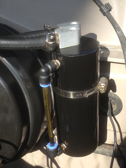
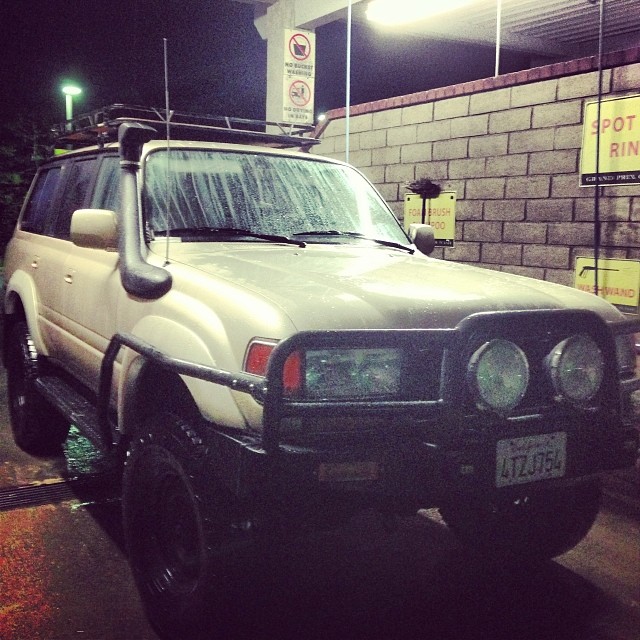
While up on the Donner Summit my trip would not be without issue as my DiffLock light came on the dash and the CDL engaged while driving.
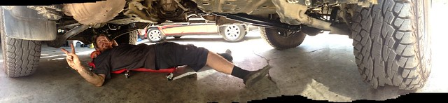
Long story short, I also placed a phone call to Yotamasters to consult with them as well. Needless to say, I would be 2WDriving it back home as I disconnected the T-Case control module that it located in the driver side kick panel.
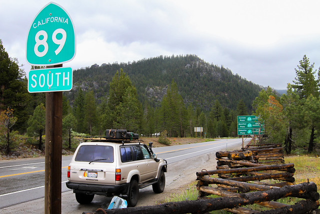
While on the way back, I came through south Lake Tahoe and came across Monitor Pass - HWY 89 as it connects to HWY 395 the scenic way.
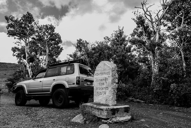
Monitor Pass (el. 8,314 ft / 2,534 m) is a high mountain pass in California in the Sierra Nevada southeast of Lake Tahoe. It is traversed by State Route 89 near that highway's southern terminus at U.S. Route 395 near the community of Topaz. While this section of Route 89 serves to connect the basins of the West Walker River and Carson River, Monitor Pass itself lies on a side ridge between tributaries of the East Fork Carson River. Crossing the pass allows for a more direct route between U.S. 395 and Markleeville, California, at the expense of some additional elevation.
At the top of the summit:
You will see this marker and if you travel in the direction toward HWY395, just after this sign, look on your left and you will see...
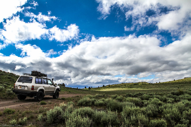
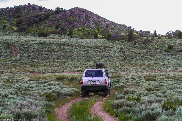
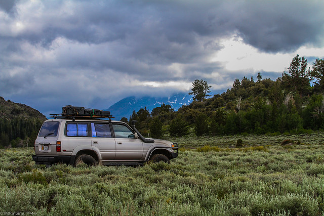
A little two track trail! I had to give it a quick look! Has anyone adventured around up here?!?!?!
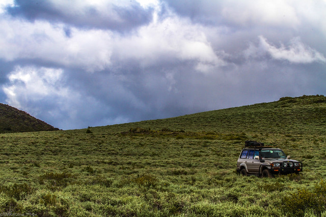
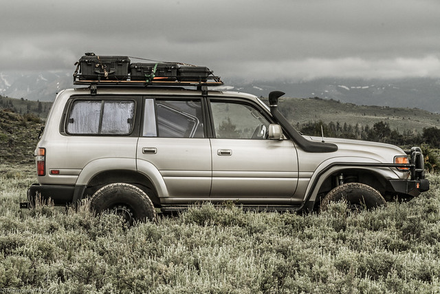
While I was only in 2WDrive mode, I did not want to get off too far so I spent some time shooting some cool images of the rig in this BIG OPEN visual surrounding!
I drove around on a few different splits and came back out onto the paved road a little ways down from where I entered, but with time permitting, I could have gone further back in. How far? I don't know and need to spend some time looking at the maps as this place is looked epic in every direction!