So it was with this thread that we announced our intentions, but road conditions would eventually alter our plans for different routes. Overall, the weather held out pretty well. There were some warm hikes and some rain, but the hikes were well worth it while the rain was mostly while driving and didn't last long. Here is a sampling of some of our travels.
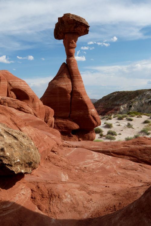
Day 1: One of the areas we hit were the toadstools...
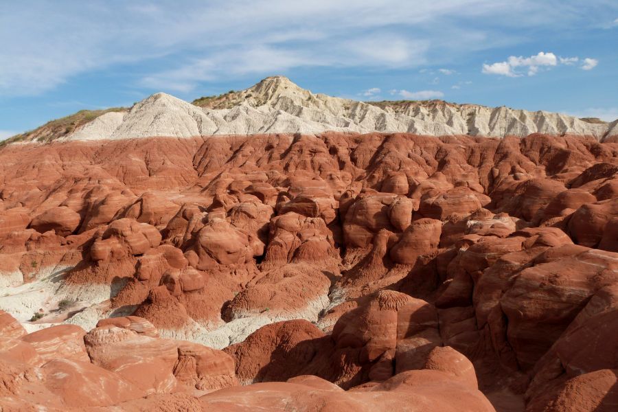
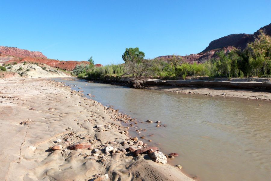
Day 2: In the morning we explored the Paria River and old Pahreah townsite across the river.
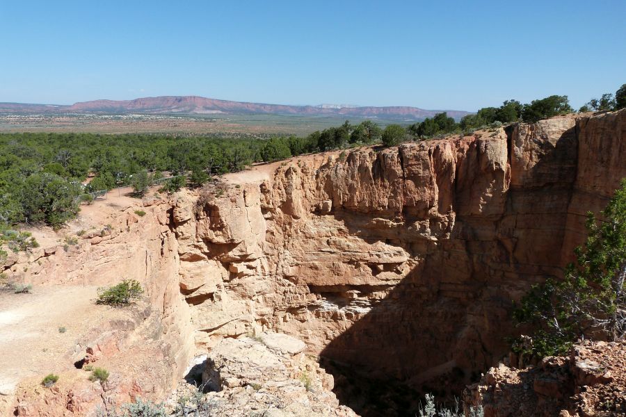
After that we made our way to Coral Pink Sand Dunes State Park and stopped at a large sinkhole along the way.
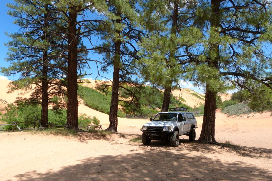
After a quick resupply in Kanab, we ventured north through Johnson Canyon and spotted a small eagle "arch" and old film set.
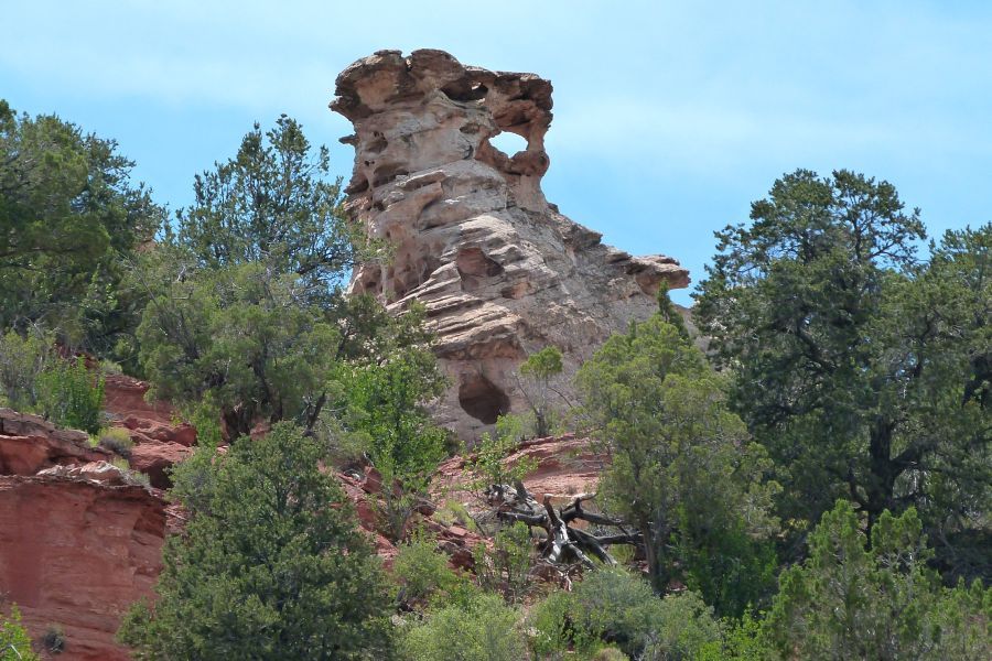
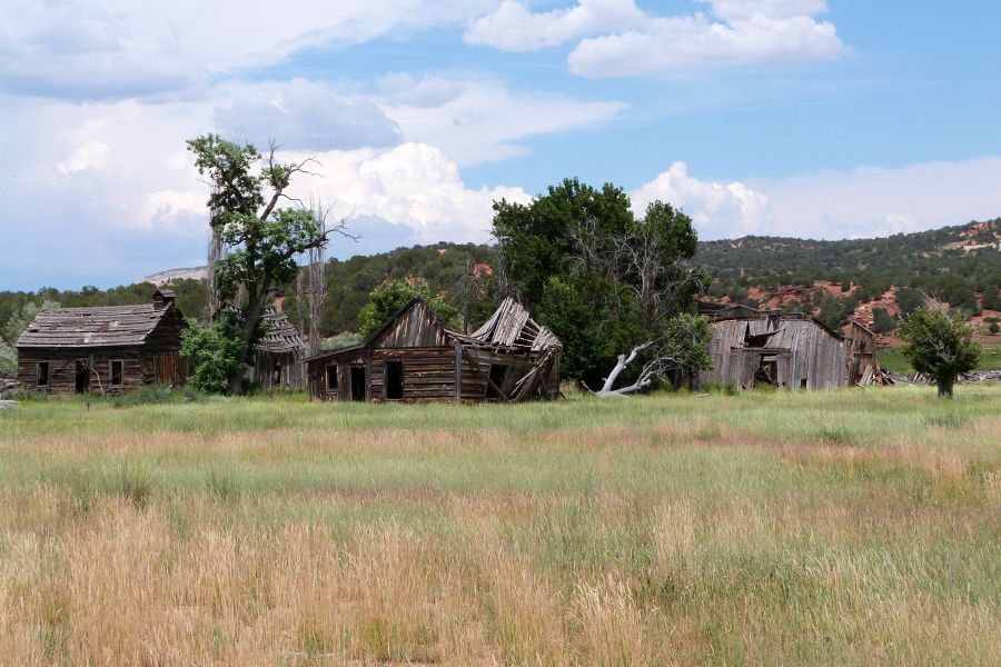
Along the Skutumpah Road we hiked a portion of Lick Wash before camping in the pines.
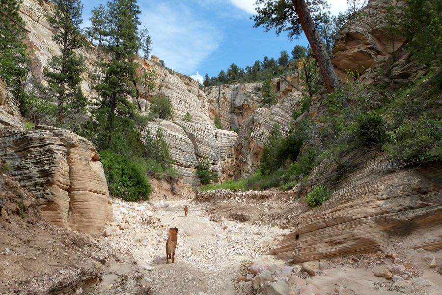
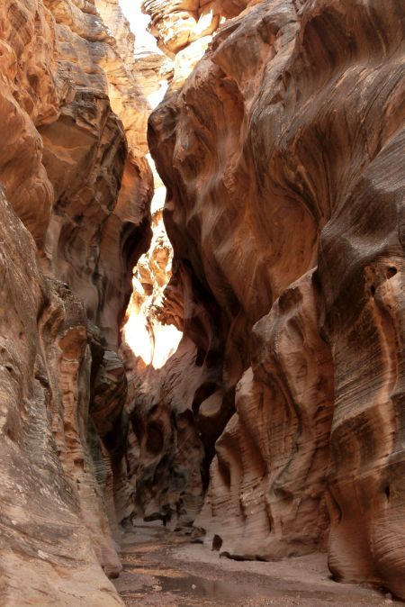
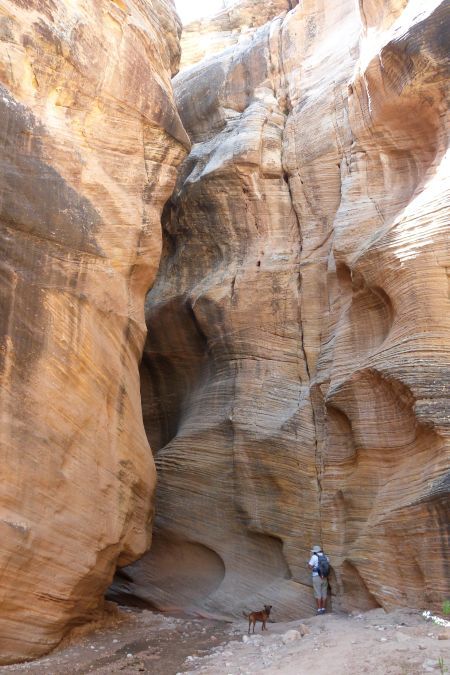
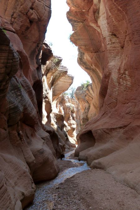
Day 3: First up was a Willis Creek hike.
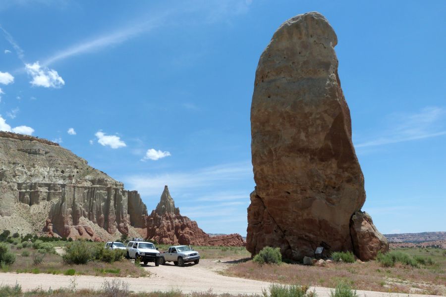
Next we explored Kodachrome Basin State Park.
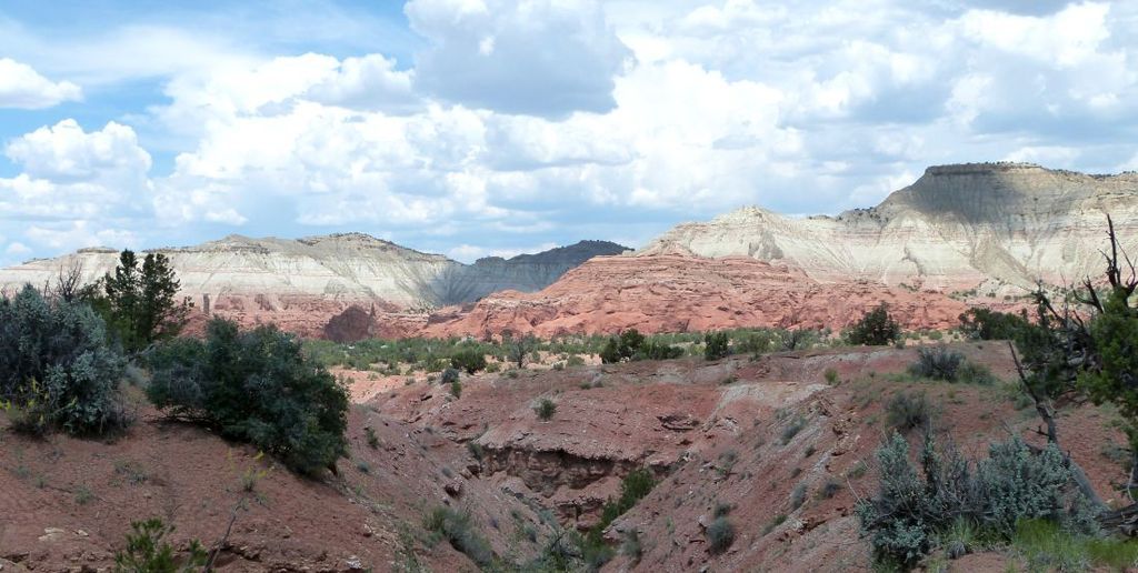
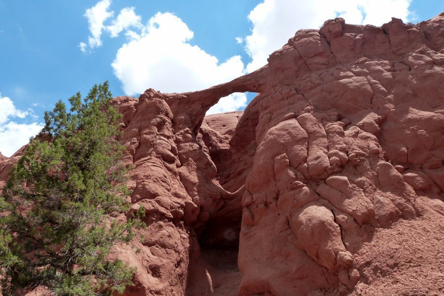
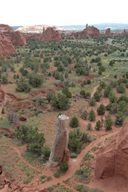
We saw that Cottonwood Canyon Road was still closed, so we stopped at Grosvenor Arch and then camped in that area. We'd have to loop west, mainly pavement, instead.
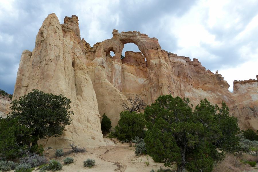
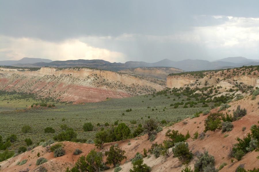
Day 4: Plan B was now Bryce Canyon. Isn't it a special trip when your plan b is as ridiculous as Bryce?
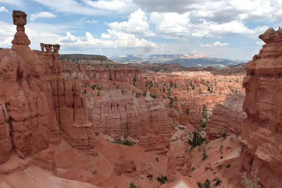
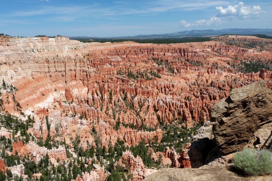
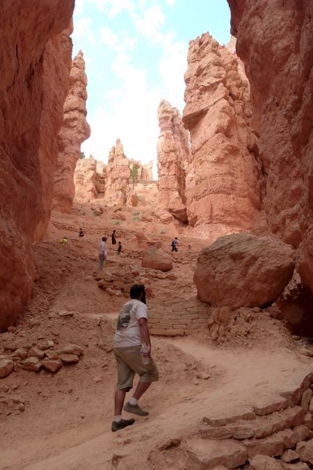
Day 5: We set for home, but not before a few stops along the way.
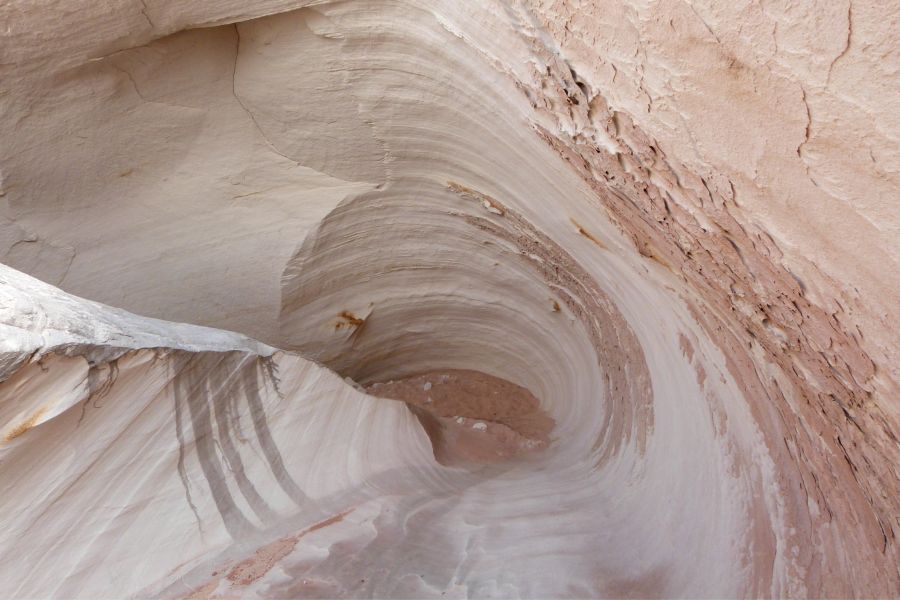

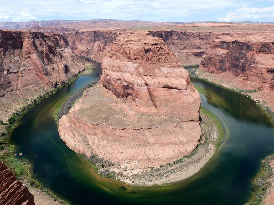
Summary: :victory::beer:
For anyone who has never been to this area, do some research and get out there!
Day 1: One of the areas we hit were the toadstools...


Day 2: In the morning we explored the Paria River and old Pahreah townsite across the river.

After that we made our way to Coral Pink Sand Dunes State Park and stopped at a large sinkhole along the way.


After a quick resupply in Kanab, we ventured north through Johnson Canyon and spotted a small eagle "arch" and old film set.


Along the Skutumpah Road we hiked a portion of Lick Wash before camping in the pines.

Day 3: First up was a Willis Creek hike.


Next we explored Kodachrome Basin State Park.


We saw that Cottonwood Canyon Road was still closed, so we stopped at Grosvenor Arch and then camped in that area. We'd have to loop west, mainly pavement, instead.


Day 4: Plan B was now Bryce Canyon. Isn't it a special trip when your plan b is as ridiculous as Bryce?


Day 5: We set for home, but not before a few stops along the way.


Summary: :victory::beer:
For anyone who has never been to this area, do some research and get out there!
