Idaho August 2010

snowbear

Observer
8-18.

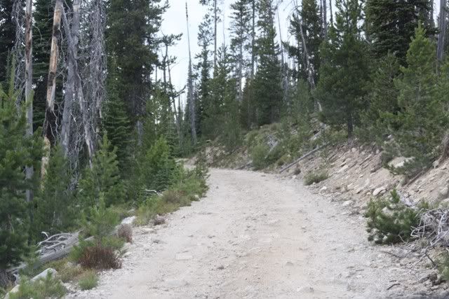
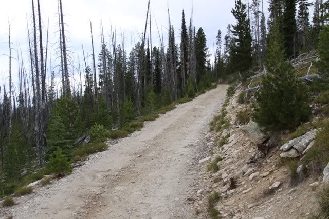
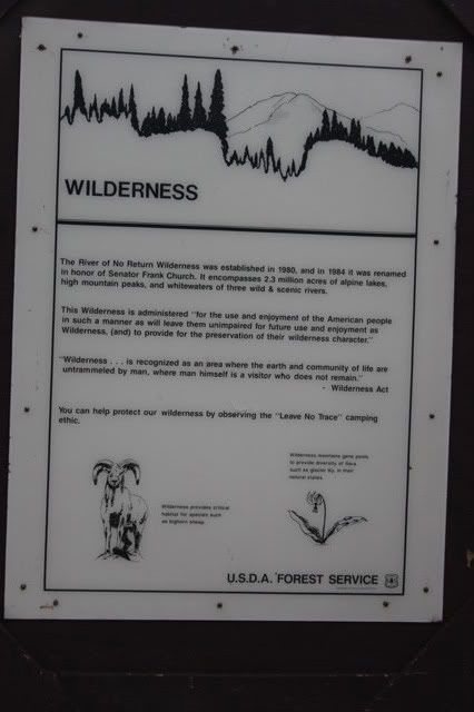
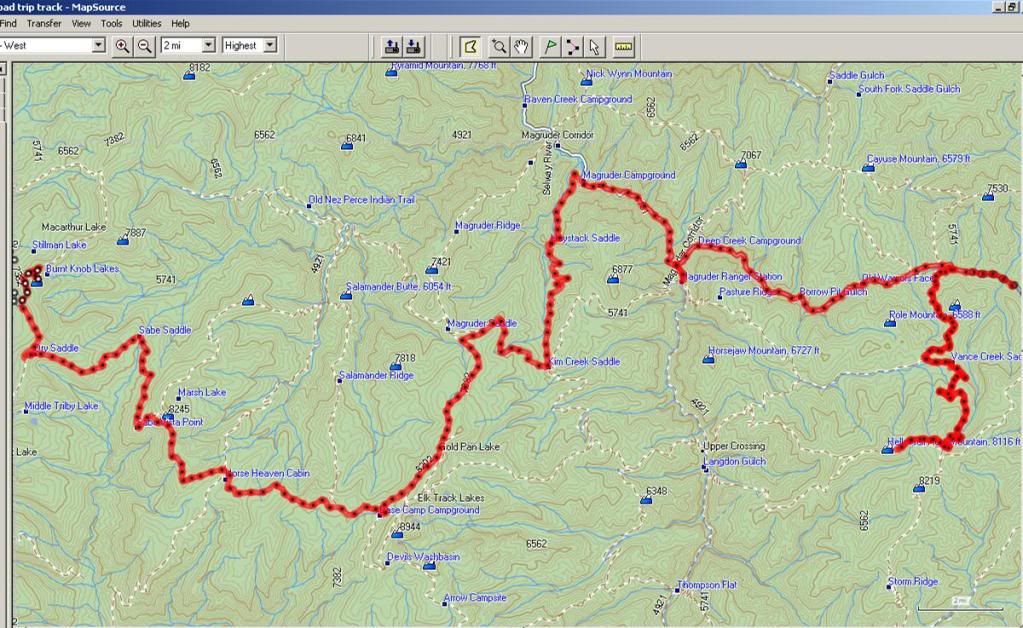
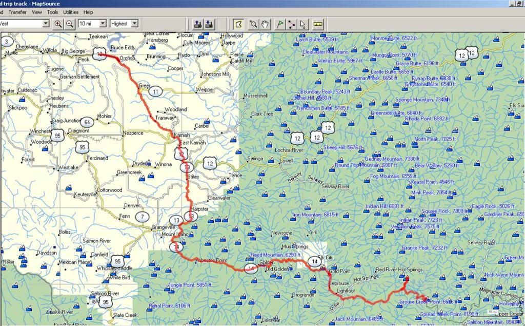
We head off not knowing if we'd have to backtrack or get thru. The Magruder road is popular because it is the only road thru the Frank Church Wilderness Area. It draws lots of cross country motorcyclists and a few folks in cars and trucks. There is nothing in the way of services along the road. The FS web site says its 101 miles. We measured about 85 but we didn't count the blacktop.

http://www.fs.usda.gov/wps/portal/f...nal%20Forest%20-%20Magruder%20Road%20Corridor


We left the camp site and headed on down the road. After a while we got to "new" dirt road. It looked like it had been completely rebuilt. It was even compacted. We found the washouts, three of them, and they had been fixed. The area was a traverse following the contour of the mountainside. The washouts occured where the road cut back into the hillside and there was a creek coming down it. Kinda like the inside of a crevase. Unfortunately we forgot to take pictures so you just have to imagine. Standing at the point in the "V" looking up a steep narrow gash and looking down, the same thing only bigger. I told Pati, yeah we coulda crossed it...with three winches and a half-mile of cable!

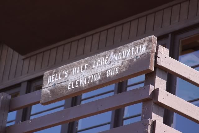
This was one of those slow days. Our average speed was ~7mph. First stop Hells Half Acre.

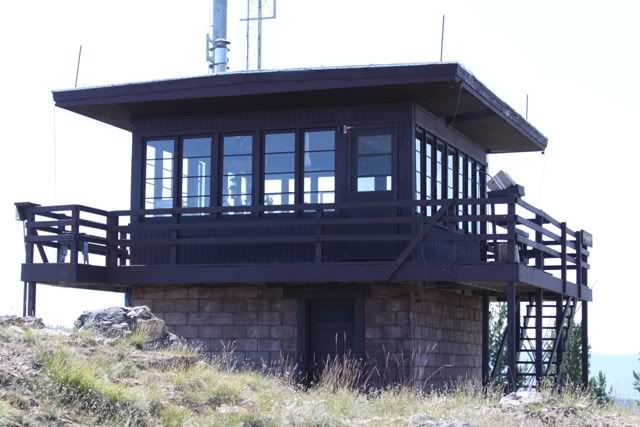
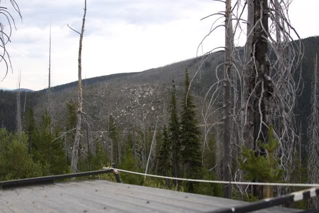
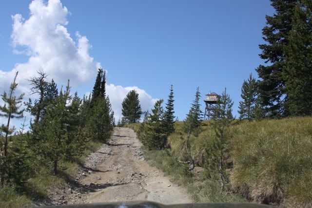
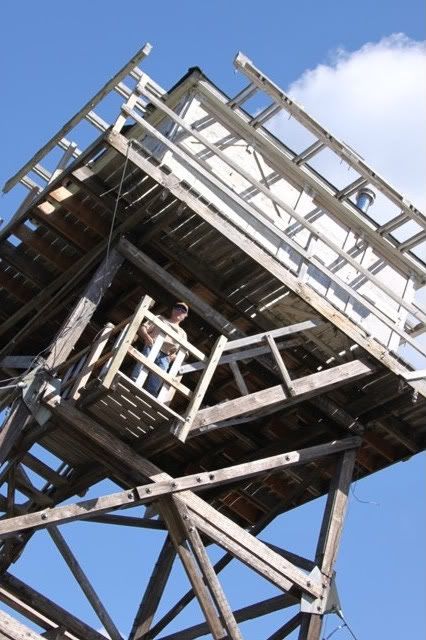
The lookout station
IMG_7887.jpg


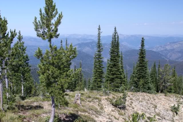
IMG_7886.jpg


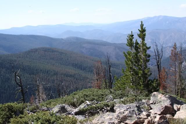
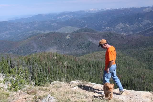
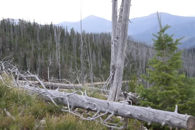
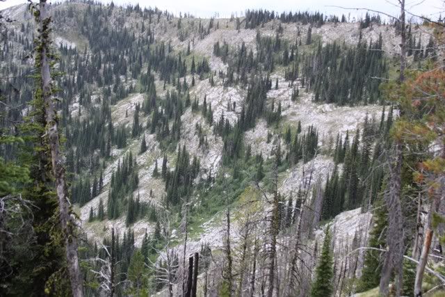
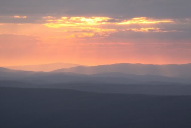
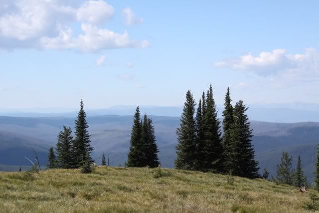
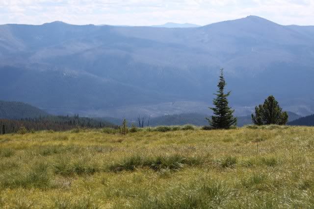
Not sure what was so "hellish" about it. Look like all the other mountains, valleys and trees :)
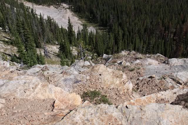
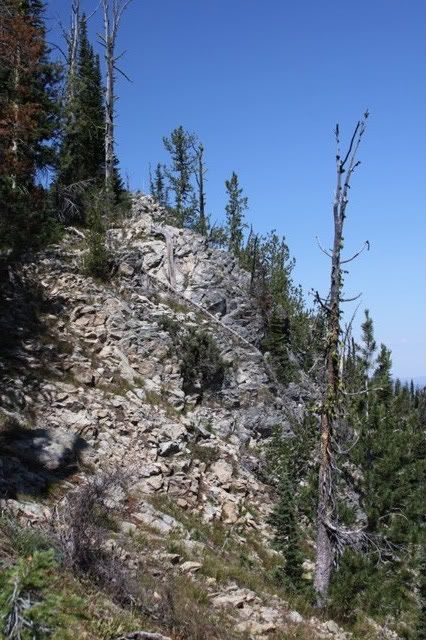
IMG_7884.jpg


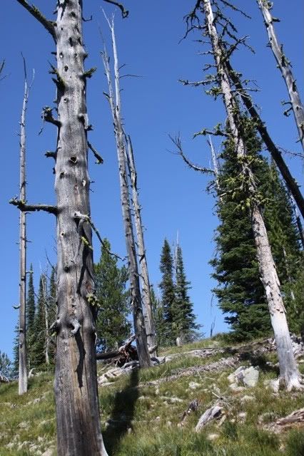
IMG_7885.jpg


IMG_7880.jpg


IMG_7881.jpg


IMG_7888.jpg


IMG_7882.jpg

(I have lots of those orange shirts, they were freebies from the scaffolding company :)
 

snowbear

Observer
8-18 Magruder Road

Just some scenery

IMG_7893.jpg


IMG_7899.jpg


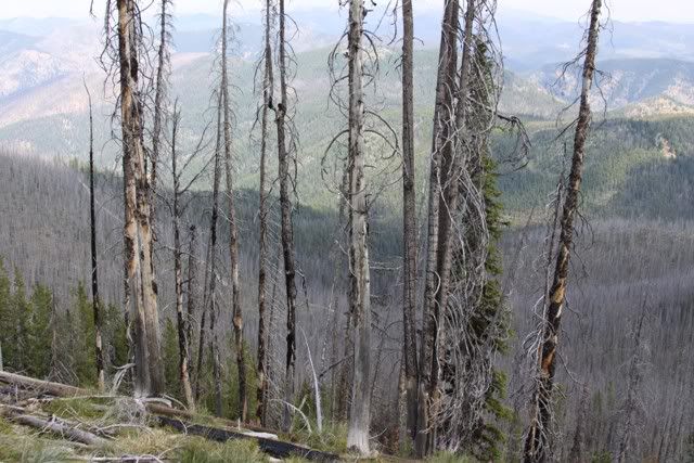
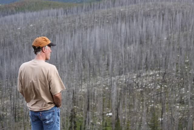
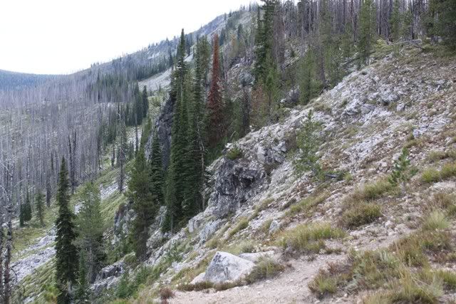
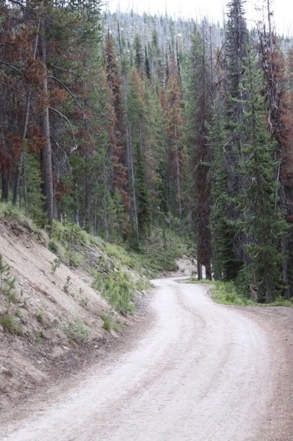
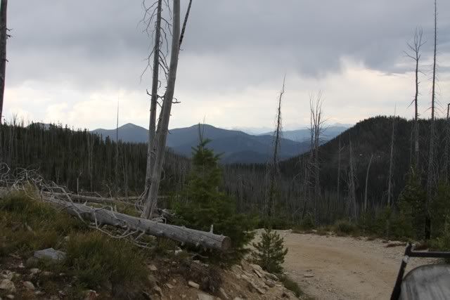
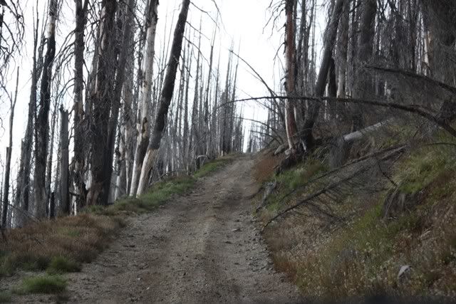
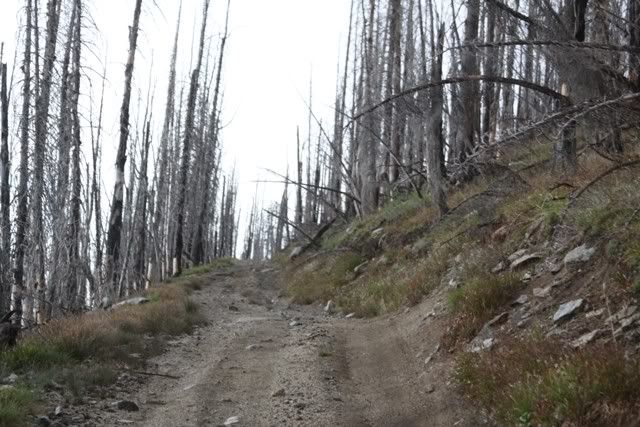
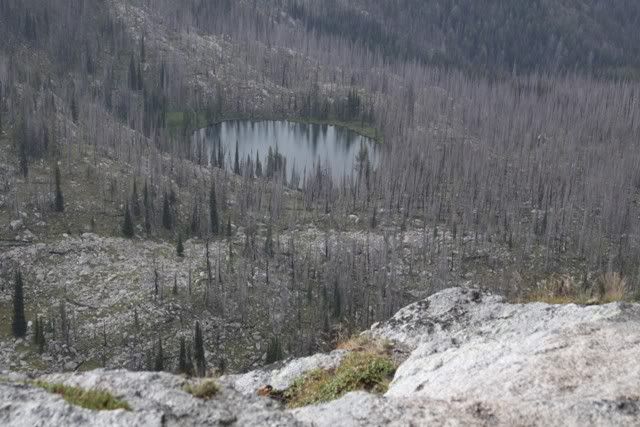
One surprise, probably half the lands along the road had burned. Some according to the signs as much as 100 years ago. All the fires were caused by lightening. Seemed like it should be growing back faster but what do I know.

IMG_7902.jpg


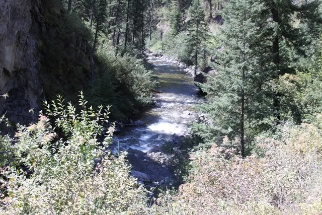
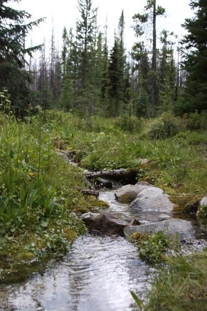
It was another hot day and a little dip in this creek to cool off.

IMG_7907.jpg


More burns

IMG_7919.jpg


IMG_7920.jpg


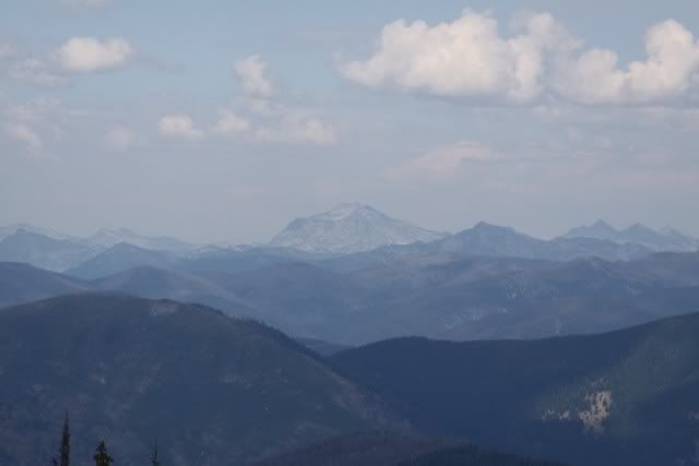
I can't remember the name of this mountain. It is one of the tallest in the state

IMG_7923.jpg


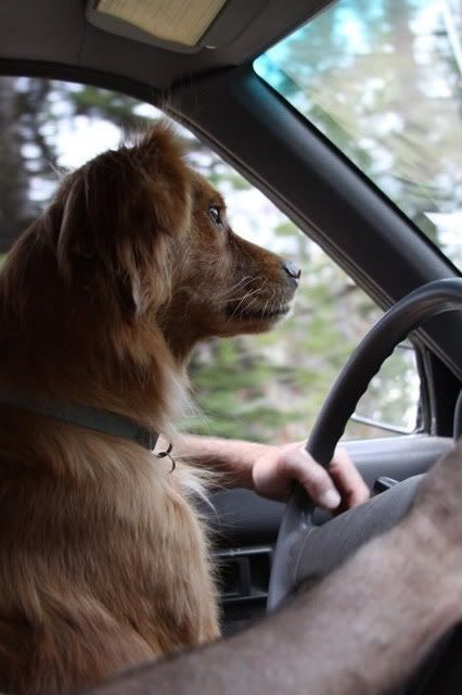
Student driver (had to hang on to her when the chipmunks crossed the road in front of us)

IMG_7924.jpg
 

snowbear

Observer
8-18

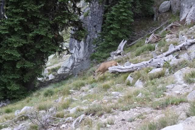
Saw a few of these critters along the way

IMG_7964.jpg


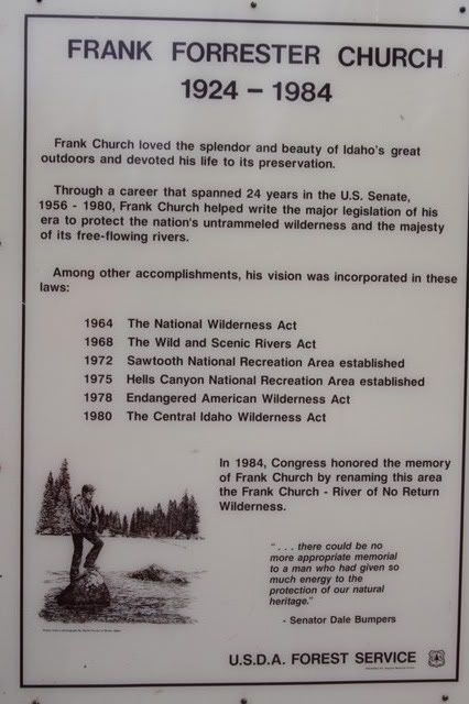
Area info

IMG_7971.jpg


IMG_7970.jpg


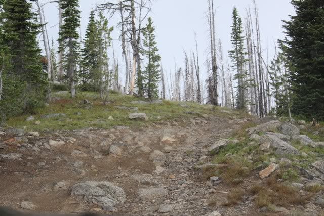
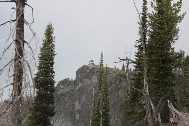
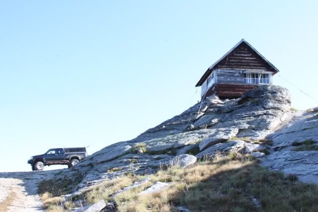
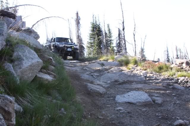
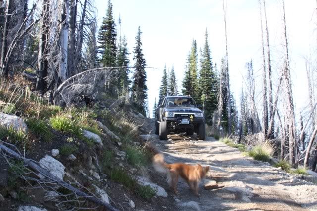
Now we on to something interesting. Burnt Butte Lookout, 4WD recommended. Really nothing a stocker couldn't negotiate. But more interesting none the less. Just to make it more fun a storm was coming in, wind rain, thunder and lightening.

IMG_7972.jpg


IMG_7973.jpg


IMG_7976.jpg


IMG_7977.jpg


The destination

IMG_7978.jpg
 

snowbear

Observer
8-18

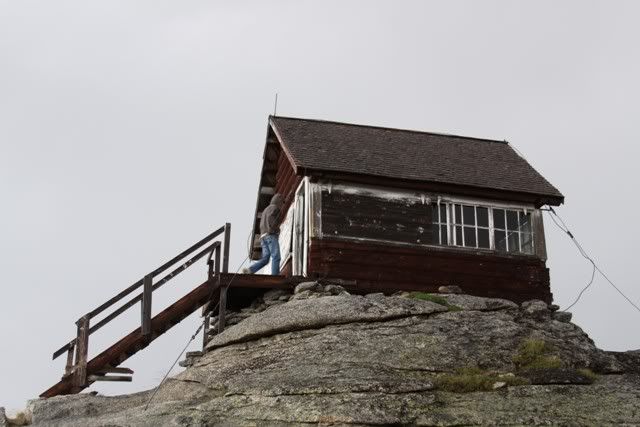
This lookout station was open for business! And with the storm I wasn't really motivated to drive back down that trail. This building is literally balancing on the rock. The guywire goes all the way around and is anchored at all four corners. It also serves as the lightening rod! There are rocks stuffed up underneath to fill the gaps.

IMG_7987.jpg


One of the lakes below

IMG_7991.jpg


So I made the decision to stay in the "cabin". Pati was none to thrilled about it. The thing rocked in the wind. But I said it's better than pitching the tent! Hauling just the minimum gear from the truck to the cabin at 8400' elevation takes the wind right out of ya! We set up "camp"

IMG_8001.jpg


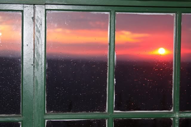
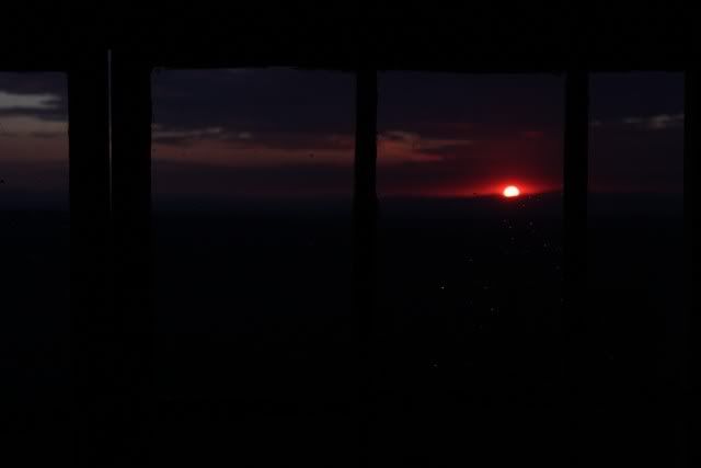
and after proping up some shutters, watched the sun set.

IMG_7997.jpg


IMG_8006.jpg


IMG_8011.jpg


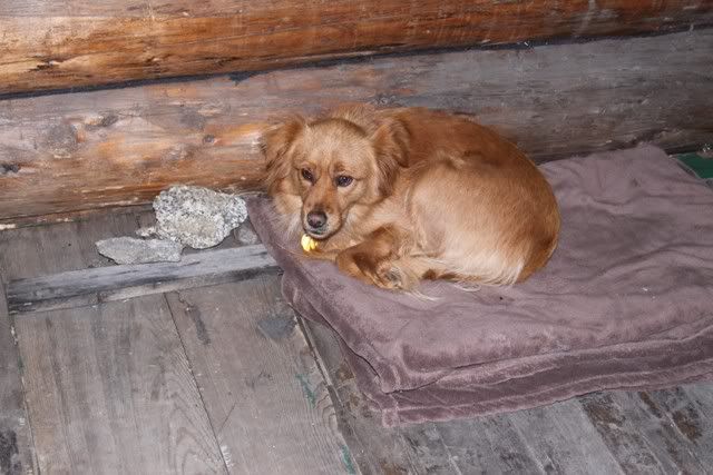
The storm continued and rocked the cabin most of the night. The dog doesn't like to sleep on the bed but after a couple hours she crawled in right between us and stayed put all night.


8-18track.jpg
 

snowbear

Observer
8-19 Burnt Butte to Orofino

Ah a blue sky morning!

IMG_8017.jpg


Down the hill

IMG_8028.jpg


IMG_8040.jpg


Next stop Green Acre Lookout. This one is locked up tight :(

IMG_8062.jpg


But I go as far as I can

IMG_8066.jpg


Looking west

IMG_8067.jpg


and south

IMG_8077.jpg
 

snowbear

Observer
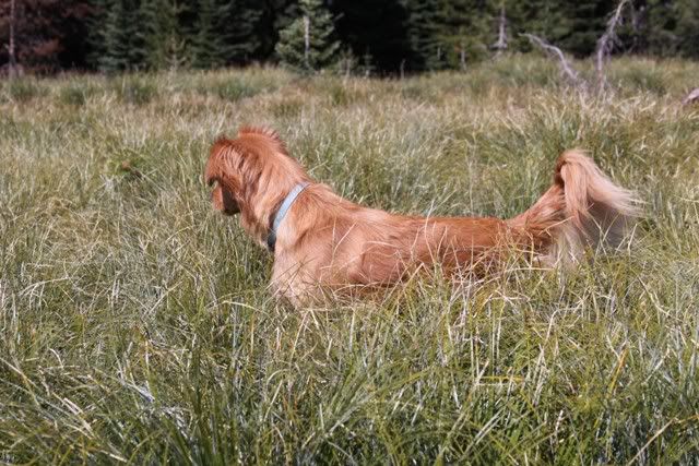
The hunter on the prowl

IMG_8070.jpg


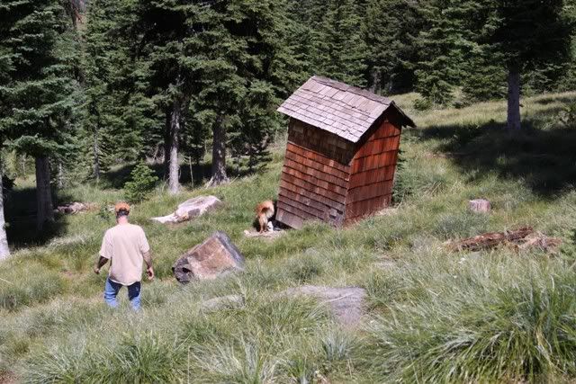
Well the outhouse is open

IMG_8073.jpg


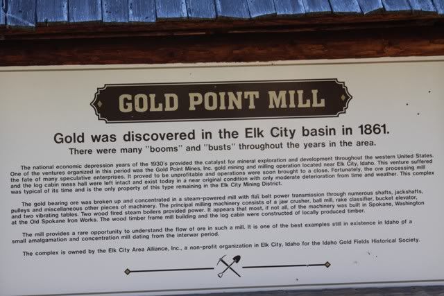
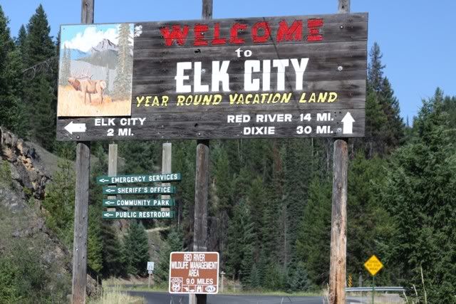
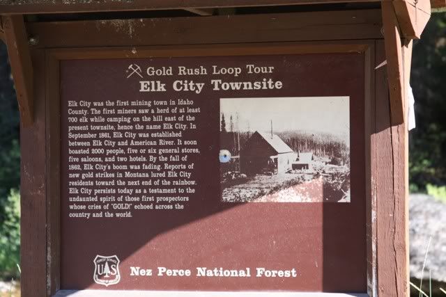
So we've run the Magruder. The trail/road was pretty much more of the same, mountains, trees, creeks, etc. We make our way toward Elk City and this catches our attention. Time for a detour.

IMG_8131.jpg


IMG_8133.jpg


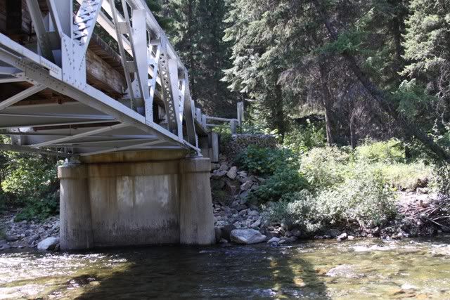
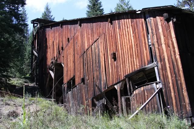
We backtrack to a bridge crossing the creek. The sign says the trail is open two months a year. Thot that kinda odd. But we were between the dates so off we went. Poked around on the trail looking for a way to the mine. About the third try, on a trail that was all grown over we found it. And it had a gate so off on foot we go. It was about a mile around a ravine to the mine.

IMG_8078.jpg


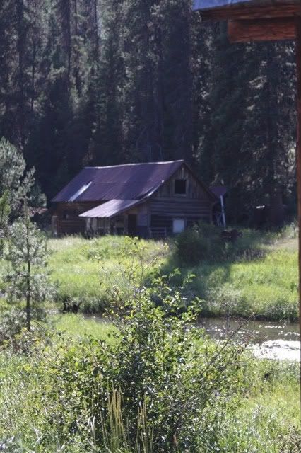
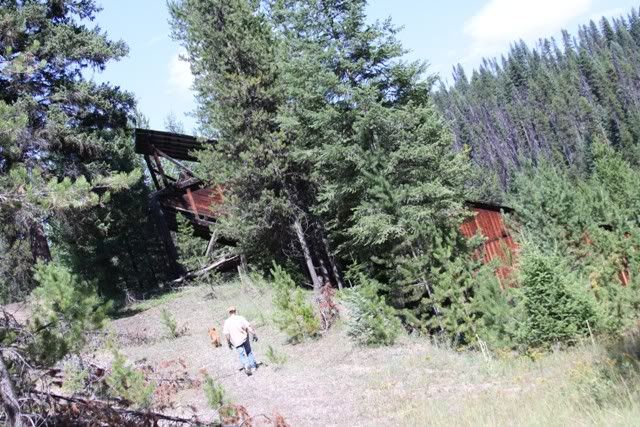
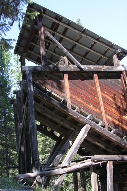
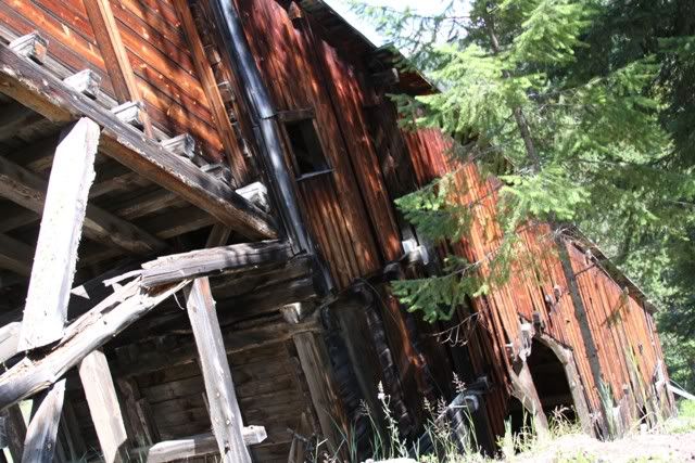
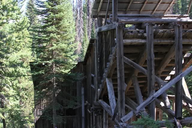
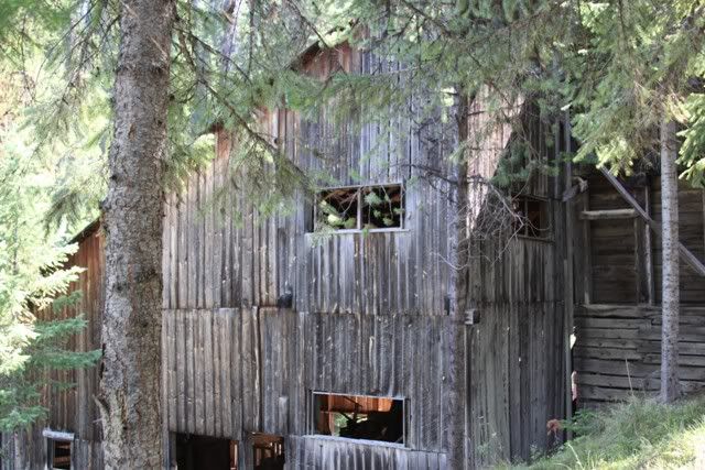
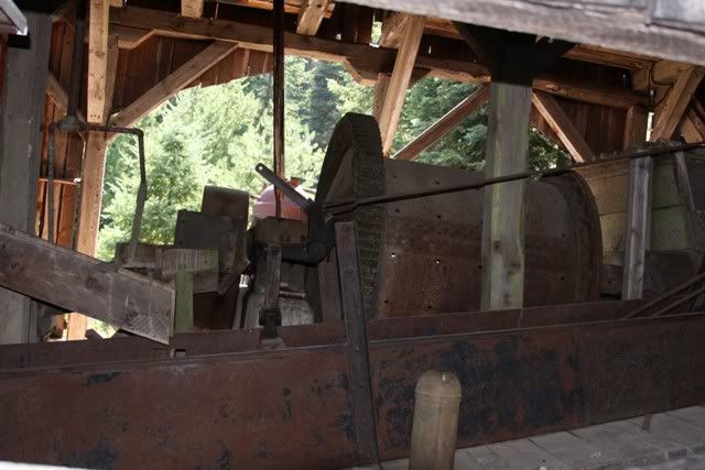
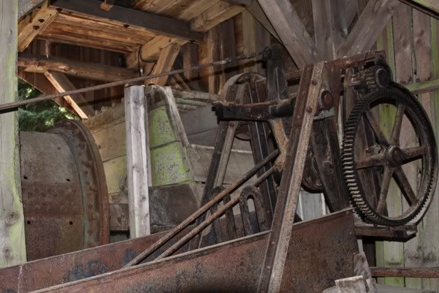
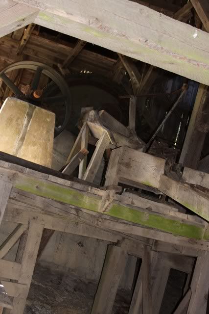
Of all the mines we explored this was the best. Most of the equipment was still there. It was like they just walked away from it.

IMG_8079.jpg


IMG_8080.jpg


IMG_8081.jpg
 

snowbear

Observer
IMG_8085.jpg


The ball mill

IMG_8088.jpg


IMG_8090.jpg


IMG_8094.jpg


The tailings come out of the mill down the trough on the right

IMG_8101.jpg


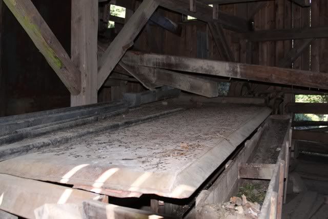
To these things with "catch" pockets and windows in the sides

IMG_8112.jpg


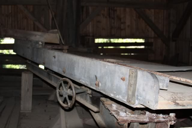
then to these shaker tables

IMG_8098.jpg


IMG_8099.jpg
 

snowbear

Observer
The material could be routed to several other areas and processing equipment inside but the light didn't make for any decent pictures. Have to ask a miner friend about some of it. For instance some of the material from the mill could be send to what looked like a chimney made of steel. It had some kind of belt from the bottom to the top 30' above. At the bottom looked like an ash door like you find on the back of an old brick chimney.
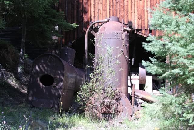
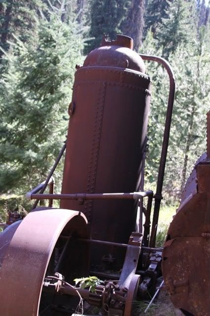
The steam plant

IMG_8106.jpg


IMG_8122.jpg


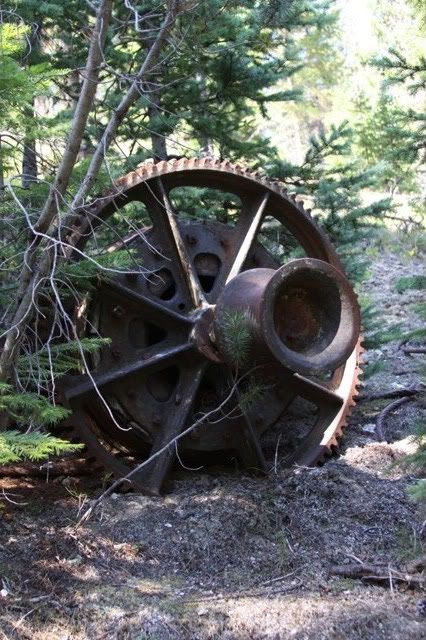
The drum for the tram up the mountain

IMG_8130.jpg


Then back on the road. There was another back road we were going to take on the other side of Elk City but were out of time.

IMG_8135.jpg


IMG_8137.jpg


From here to Vancouver it was blacktop and hot.

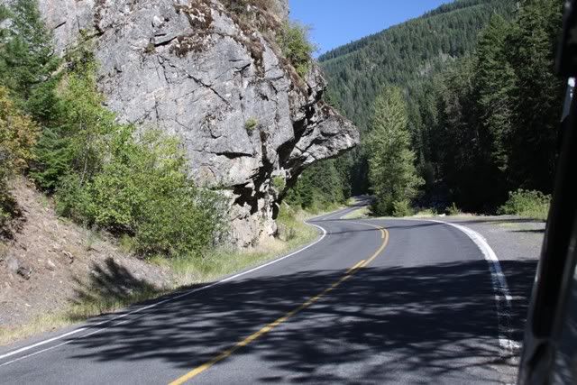
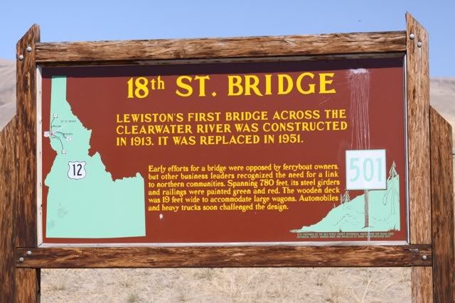
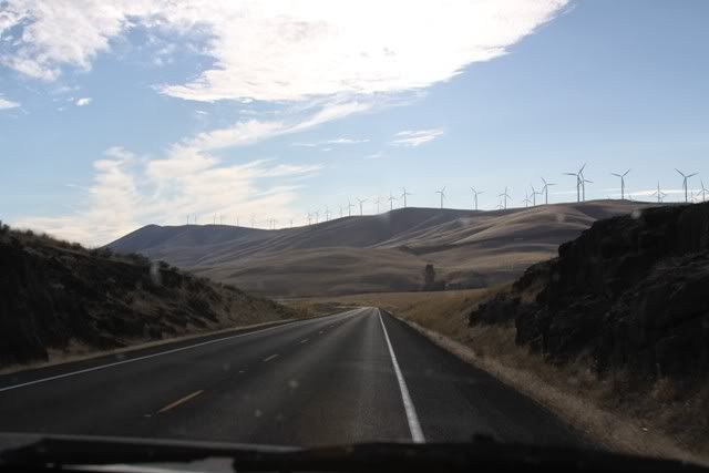
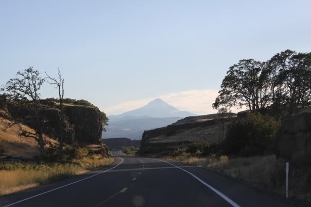
The folks that built the road must have been having fun the day they did this.

IMG_8138.jpg


Crossed the Nez Perce Reservation, stopped at the museum and motored on to Orofino

IMG_8143.jpg
 

snowbear

Observer
8-19 Orofino

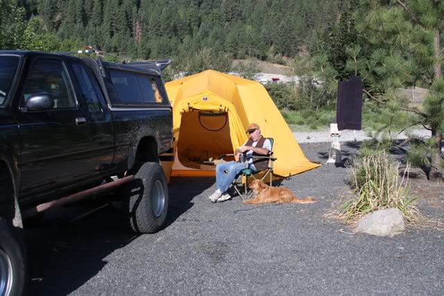
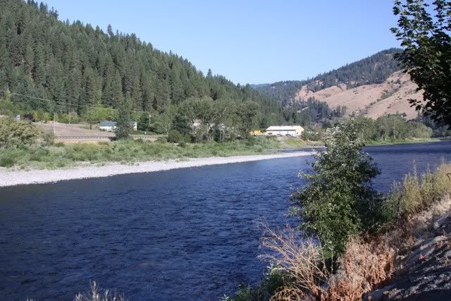
Once again we went looking for a campground and showers for the night. We really try to avoid the motorhome parks but that was not to be this night. It was late and hot and we were tired so going 20 miles to the reservoir near town in hopes of finding a place with showers was out. So we looked around town. The first two places we went were depressing. It was like folks moved in with anything they could find that was livable. We ended up in a nice place, at least as far as motorhome parks go, right on the river. Showers were included in the price. They assigned us a tent spot, one of those little premade areas, and we had to go back for something larger. Told them the tent wouldn't fit. They looked at me like I was off. I had to explain that in Alaska we use big tents. So for 6$ we upgraded to a camper spot :)))

IMG_8144.jpg


IMG_8149.jpg


IMG_8150.jpg


So another day done.

8-19track.jpg
 

snowbear

Observer
8-20 the last day

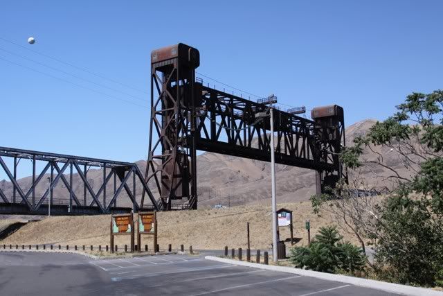
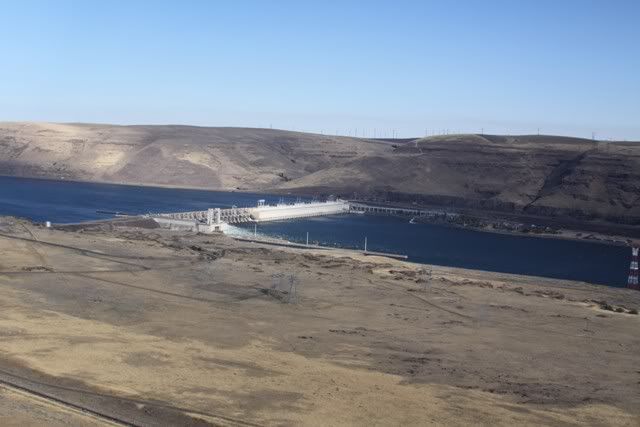
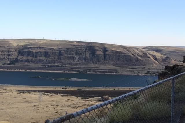
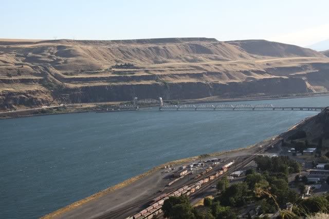
We really had till the 21st to get back but I told ya it was hot right? By noon when crossing into Washington it was well over 100 according to our little thermometer and we were cooked. The air conditioned hotel sounded just too inviting. So we put the hammer down and headed for "home". We decided to take SR14 along the river and thru the gorge. It was well worth the time. There is alot more to see on the north side of the river.

IMG_8153.jpg


IMG_8151.jpg


IMG_8157.jpg


IMG_8158.jpg


IMG_8161.jpg


IMG_8166.jpg


IMG_8172.jpg
 

snowbear

Observer
8-20 the home stretch

IMG_8179.jpg


SR 14 winds back & forth and up and down along the river. There are several small towns and we stopped at one for dinner. Kinda surfer joint. Food was good and the belly dancing was entertaining. By the time we left it was dark. We got back into Vancouver at about 10pm.

It was a great trip and I know I've missed some things in this report. Time and memory permitting I'll add them as they come up. In the mean time we're looking for ideas for the next trip.

Happy Trails
 

Rot Box

Explorer
:Wow1::wings: Amazing! You definitely captured the side of Idaho rarely seen by the majority. Looks like a lot of fun and thanks for sharing it with us!
 

Saline

Adventurer
Cool trip report!! Love that part of Idaho. We have rafted the Bruneau River a few times, man is it awesome down there.
 

Forum statistics

Threads
188,159
Messages
2,902,810
Members
229,582
Latest member
JSKepler
Top