turbodb
Well-known member
In Search of Overlooks - A Fall Trip to Western Death Valley #1
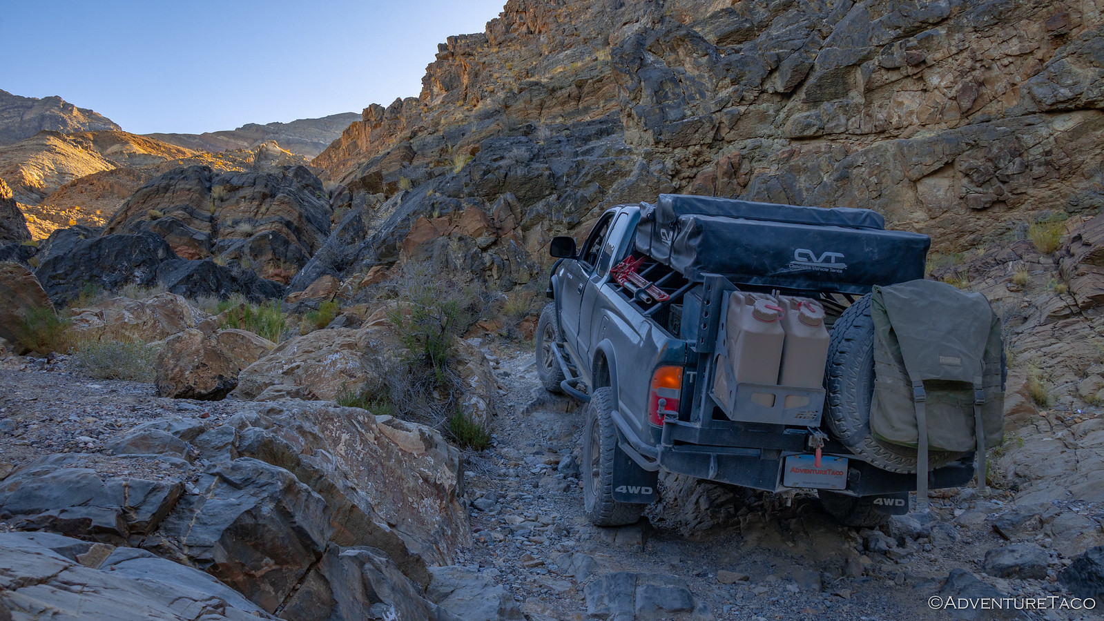
Death Valley is not nearby, and yet - it continues to call time after time, urging us to make the 20 hour journey south to explore its wonders. And it's hard to say no. That's how - on a Wednesday morning - we found ourselves packed up in the truck and heading towards southern California, excited for the three-and-a-half days we'd have to explore.
I promised myself that this trip would be different. We wouldn't attempt to squeeze everything in; I wouldn't over-schedule our time; it wouldn't be like it always is - a mad dash to not miss a thing. I'd do this by keeping us in the northwest corner of the park - in Eureka and Saline Valleys, and by planning at most a single morning and single afternoon "attraction."
Or so I thought.
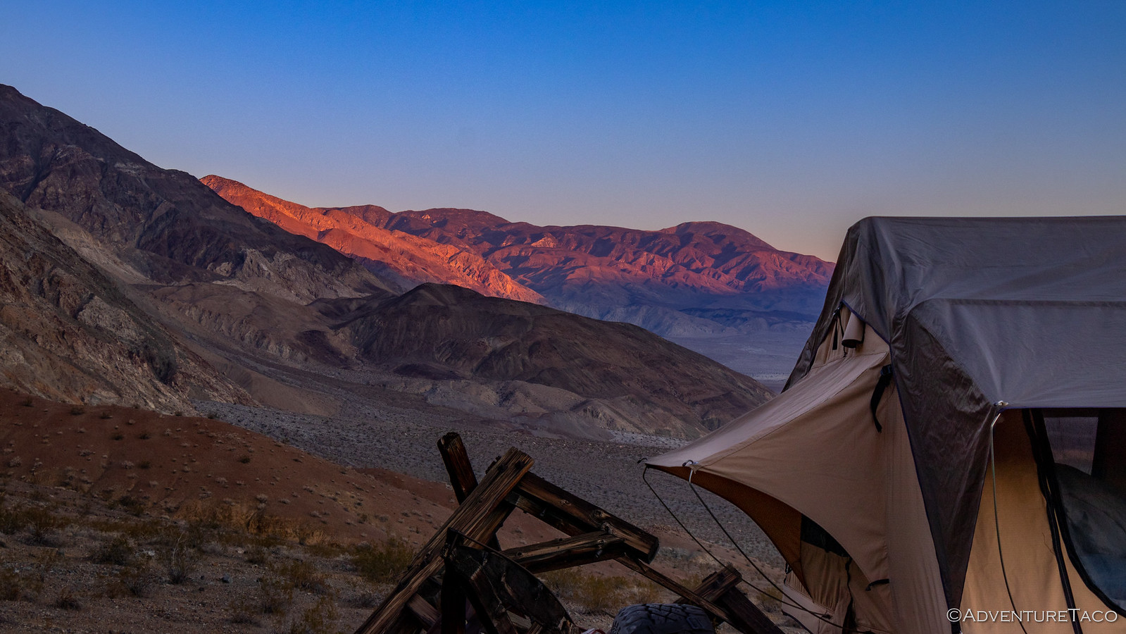
By the end (literally, shortly after midnight) of our first full day of driving, we made it to Walker Lake. There are a couple of free BLM campgrounds along the edge of the lake, and though they are very close to the highway, @mrs.turbodb and I were both exhausted and decided that trying to make it two more hours to a spot we'd found outside of Dyer, NV to camp was just not in the cards. We climbed into the tent and within minutes we were both sound asleep.
Five hours later, at 5:30am, my alarm went off. Unlike most mornings, it wasn't set early to catch the sunrise, but was instead because we needed to get on the road if we were going to have time to do everything I'd planned for the day. (Yes, I realize now that this is perhaps not the approach that leads to a more relaxed trip.) Still, getting up early did have its benefits!


Intriguing sun shades provide relief to campers in the summer months.
By 9:00am, we'd fueled up in Dyer (Note: though the pumps appear closed before the store is open, hunt around and figure out how to use your credit card by lifting the rubber cover.) and were turning off onto dirt - our entrance into the park via North Eureka Valley Road, one that was new for @mrs.turbodb, and in my opinion the second nicest way into the park (because it's hard to beat Titus Canyon Rd.)
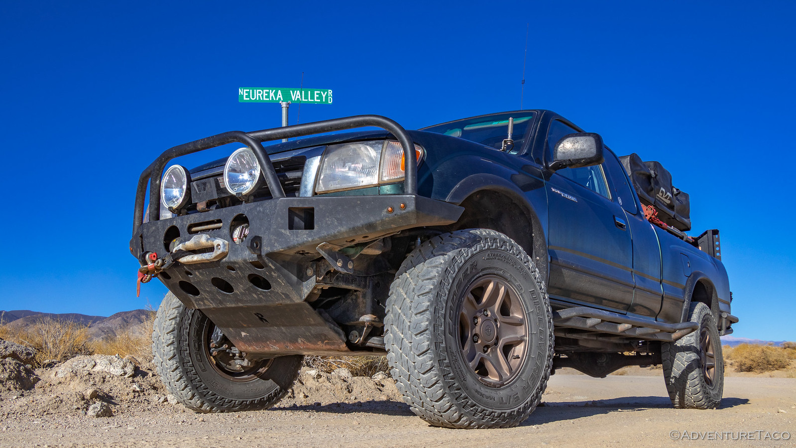
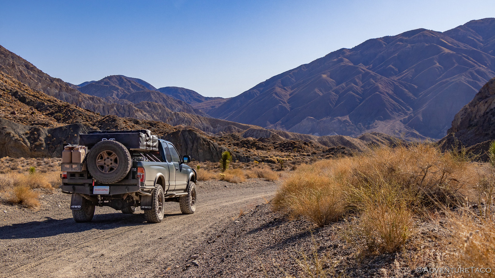

Under the warm morning sun we made good time, even with some photo stops for me, and geology stops for @mrs.turbodb, and it wasn't long before we reached the north end of Eureka Valley - the dunes where we'd be spending the night still just out of sight behind the north end of the Last Chance Range.
And they'd stay hidden a while longer, because our first destination was up in the mountains - to investigate the old sulfur mine and town site of Crater.

The Crater Mine - and its associated town - started operation in 1929 and produced 50,000 tons of pure sulfur by the time it closed down in 1969 (nearly 30% of all California's sulfur) and the area is still rich with the stinky stuff - some 3,000,000 tons of the stuff still left in the ground! (Hiking Western Death Valley)
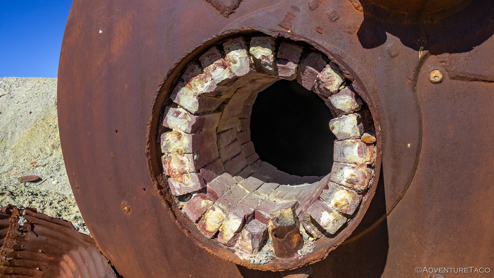
As we pulled up to the mine site, the remnants of the last refinery were immediately visible in the middle of a barren playa. Over the course of mining here, twice there were sulfur dust explosions as the material was refined for transport. Most prominent were the crusher and retort, now laying like a lunar lander in the sulfur ore, its refractory bricks still lining the interior.


Wandering around, one could only wonder who kept passing gas as the sun's rays warmed the strikingly yellow ground around us, the light breeze only serving to waft the smell past our noses. ?

Most of the mines we find ourselves exploring are shaft-style mines, and Crater is one of the few pit mines that we've ever really walked around. The destruction of this style of mining was immediately apparent, the entire hillside having been carved out in search of quick profits.


Soon enough, we decided it was time to move on. Just up the hill was the old town site of the same name, all of its buildings reduced to piles of timber by the passing of time. Only three relics mark the town site today - some sort of old double-door cooler, a pair of water tanks, and a storage shed built into the hillside. In all honesty, probably not worth visiting if you want my opinion! :gossip:


Now, at this point, my plan had been that we'd eat lunch and then make our way back down into Eureka Valley so we could find a nice spot to camp and then make our way up the dunes. But @mrs.turbodb had gotten to reading Digonnet's Book, and well... there were several interesting things nearby that we decided we might as well add to the schedule.
So, after less than two hours in the park, our plan to keep things simple and not pack too much into a day went by the wayside. We were once again in full-on OMG there's so much to see mode.
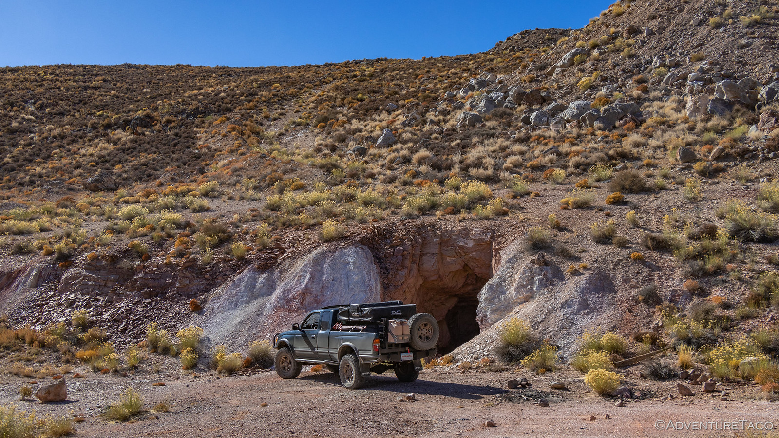
Our first detour was to the El Captan Mine. This was an old Mercury mine, the 800-foot long shaft still completely open and easily large enough to drive a Tacoma into. Keen to stay alive, we refrained from such a foolish move - though curiosity did get the best of me and I walked in 50' or so - opting instead to drive up the hill through which the shaft passes to an enormous hole that was created at the other end.
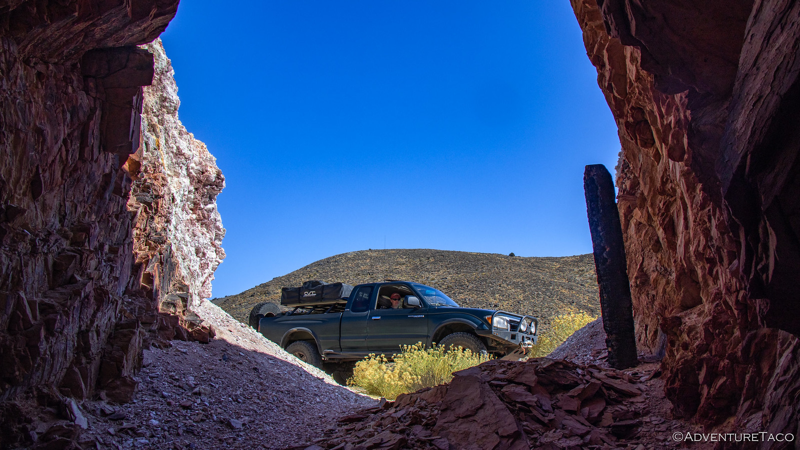

The hole was originally an access shaft that intersected the mine shaft 60-feet lower than its entrance, but when Mercury was found in the surrounding cinnabar ore, it became a glory hole - the material simply dropped down the hole to the end of the mine shaft where it could be hauled out. We kept ourselves out of this side of the mine altogether, its geological state clearly more precarious than the main shaft opening.

Don't miss the rest of the story, and all the remaining photos that don't fit here (due to max post size). Hopefully that can change in the future, but until then...
.
Death Valley is not nearby, and yet - it continues to call time after time, urging us to make the 20 hour journey south to explore its wonders. And it's hard to say no. That's how - on a Wednesday morning - we found ourselves packed up in the truck and heading towards southern California, excited for the three-and-a-half days we'd have to explore.
I promised myself that this trip would be different. We wouldn't attempt to squeeze everything in; I wouldn't over-schedule our time; it wouldn't be like it always is - a mad dash to not miss a thing. I'd do this by keeping us in the northwest corner of the park - in Eureka and Saline Valleys, and by planning at most a single morning and single afternoon "attraction."
Or so I thought.
By the end (literally, shortly after midnight) of our first full day of driving, we made it to Walker Lake. There are a couple of free BLM campgrounds along the edge of the lake, and though they are very close to the highway, @mrs.turbodb and I were both exhausted and decided that trying to make it two more hours to a spot we'd found outside of Dyer, NV to camp was just not in the cards. We climbed into the tent and within minutes we were both sound asleep.
Five hours later, at 5:30am, my alarm went off. Unlike most mornings, it wasn't set early to catch the sunrise, but was instead because we needed to get on the road if we were going to have time to do everything I'd planned for the day. (Yes, I realize now that this is perhaps not the approach that leads to a more relaxed trip.) Still, getting up early did have its benefits!


Intriguing sun shades provide relief to campers in the summer months.
By 9:00am, we'd fueled up in Dyer (Note: though the pumps appear closed before the store is open, hunt around and figure out how to use your credit card by lifting the rubber cover.) and were turning off onto dirt - our entrance into the park via North Eureka Valley Road, one that was new for @mrs.turbodb, and in my opinion the second nicest way into the park (because it's hard to beat Titus Canyon Rd.)


Under the warm morning sun we made good time, even with some photo stops for me, and geology stops for @mrs.turbodb, and it wasn't long before we reached the north end of Eureka Valley - the dunes where we'd be spending the night still just out of sight behind the north end of the Last Chance Range.
And they'd stay hidden a while longer, because our first destination was up in the mountains - to investigate the old sulfur mine and town site of Crater.

The Crater Mine - and its associated town - started operation in 1929 and produced 50,000 tons of pure sulfur by the time it closed down in 1969 (nearly 30% of all California's sulfur) and the area is still rich with the stinky stuff - some 3,000,000 tons of the stuff still left in the ground! (Hiking Western Death Valley)
As we pulled up to the mine site, the remnants of the last refinery were immediately visible in the middle of a barren playa. Over the course of mining here, twice there were sulfur dust explosions as the material was refined for transport. Most prominent were the crusher and retort, now laying like a lunar lander in the sulfur ore, its refractory bricks still lining the interior.


Wandering around, one could only wonder who kept passing gas as the sun's rays warmed the strikingly yellow ground around us, the light breeze only serving to waft the smell past our noses. ?

Most of the mines we find ourselves exploring are shaft-style mines, and Crater is one of the few pit mines that we've ever really walked around. The destruction of this style of mining was immediately apparent, the entire hillside having been carved out in search of quick profits.


Soon enough, we decided it was time to move on. Just up the hill was the old town site of the same name, all of its buildings reduced to piles of timber by the passing of time. Only three relics mark the town site today - some sort of old double-door cooler, a pair of water tanks, and a storage shed built into the hillside. In all honesty, probably not worth visiting if you want my opinion! :gossip:


Now, at this point, my plan had been that we'd eat lunch and then make our way back down into Eureka Valley so we could find a nice spot to camp and then make our way up the dunes. But @mrs.turbodb had gotten to reading Digonnet's Book, and well... there were several interesting things nearby that we decided we might as well add to the schedule.
So, after less than two hours in the park, our plan to keep things simple and not pack too much into a day went by the wayside. We were once again in full-on OMG there's so much to see mode.
Our first detour was to the El Captan Mine. This was an old Mercury mine, the 800-foot long shaft still completely open and easily large enough to drive a Tacoma into. Keen to stay alive, we refrained from such a foolish move - though curiosity did get the best of me and I walked in 50' or so - opting instead to drive up the hill through which the shaft passes to an enormous hole that was created at the other end.


The hole was originally an access shaft that intersected the mine shaft 60-feet lower than its entrance, but when Mercury was found in the surrounding cinnabar ore, it became a glory hole - the material simply dropped down the hole to the end of the mine shaft where it could be hauled out. We kept ourselves out of this side of the mine altogether, its geological state clearly more precarious than the main shaft opening.

Don't miss the rest of the story, and all the remaining photos that don't fit here (due to max post size). Hopefully that can change in the future, but until then...
Keep reading the rest here
In Search of Overlooks - A Fall Trip to Western Death Valley #1
In Search of Overlooks - A Fall Trip to Western Death Valley #1
.


