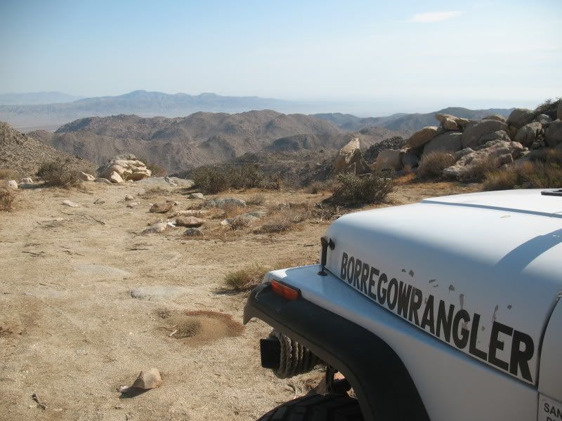
Jacumba: Mountain Spring Stagecoach Trail

BorregoWrangler

Rendezvous Conspiracy
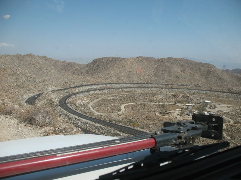
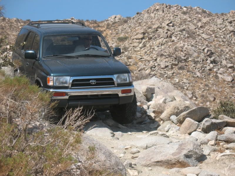
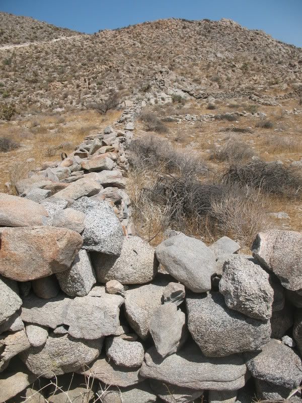
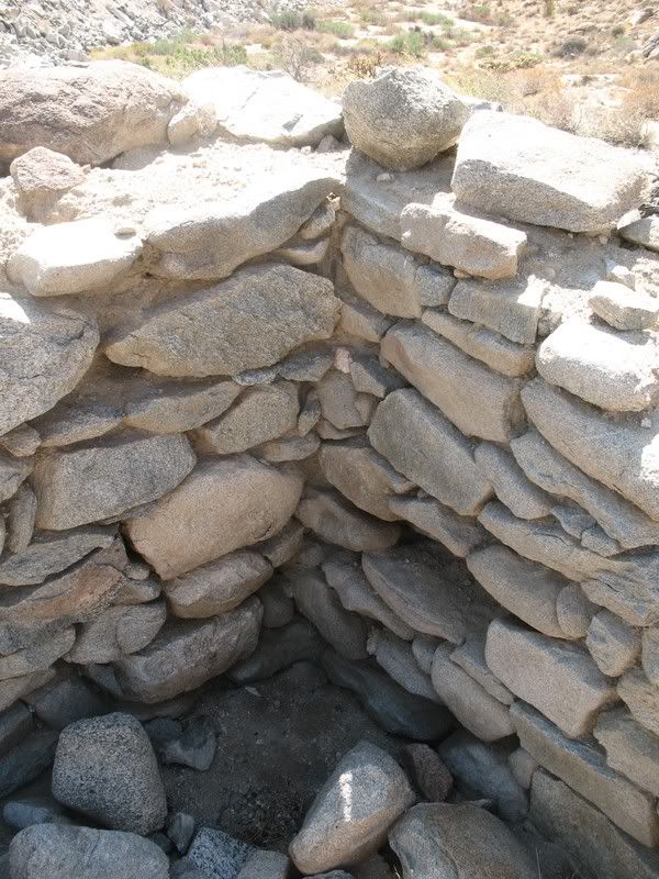
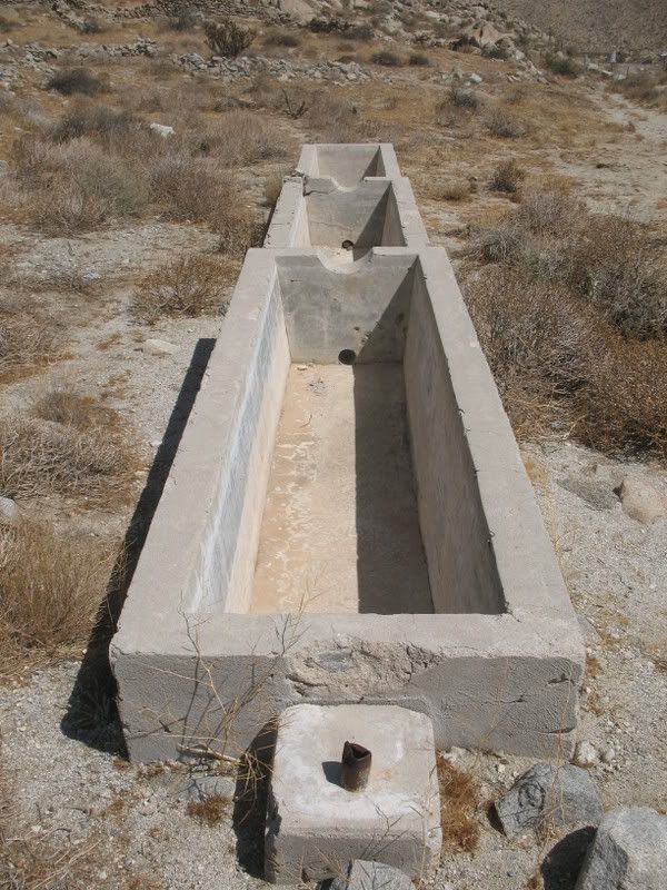
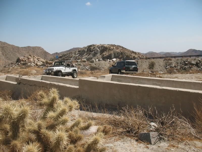
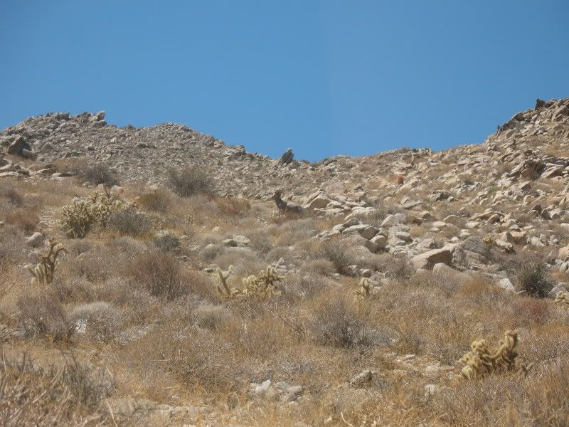
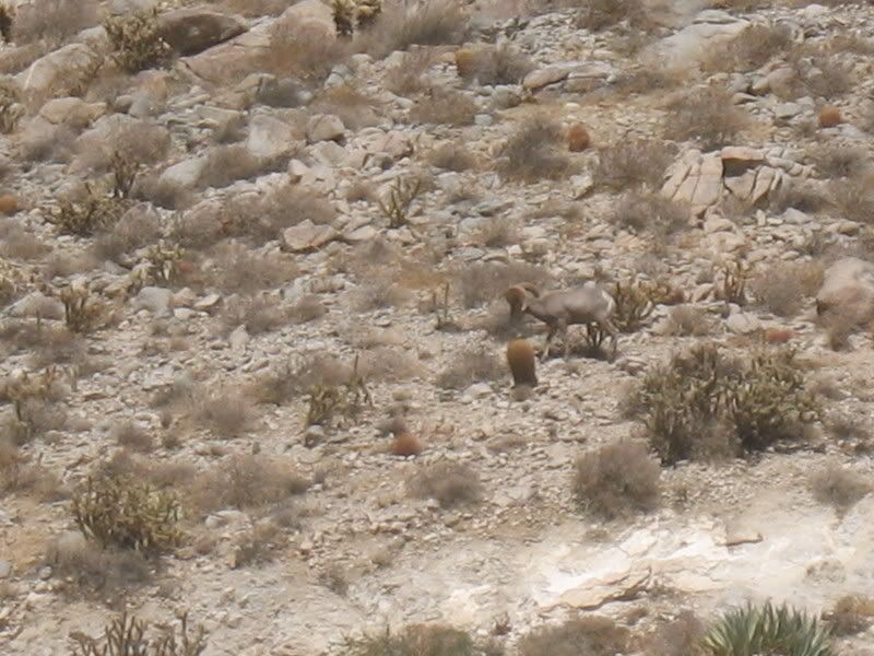
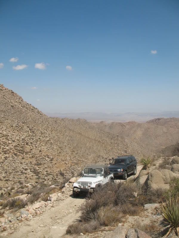
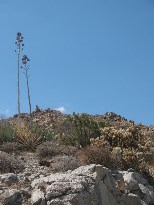
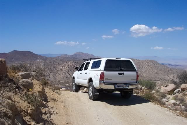
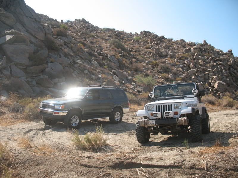
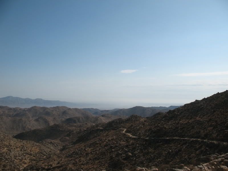
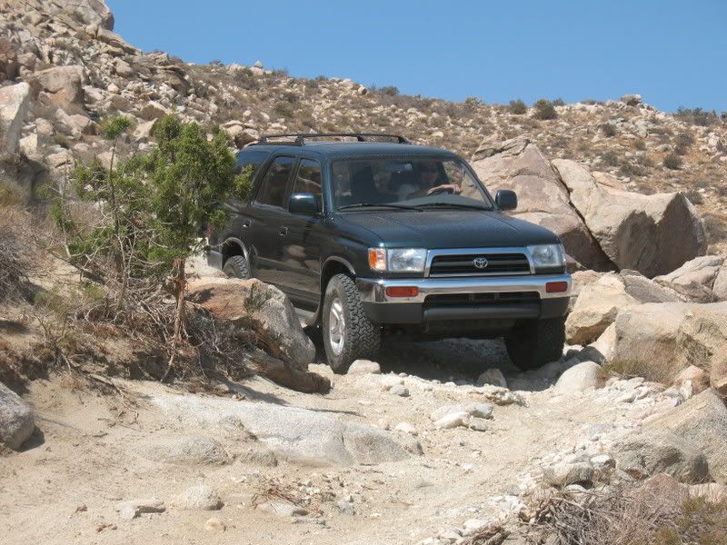
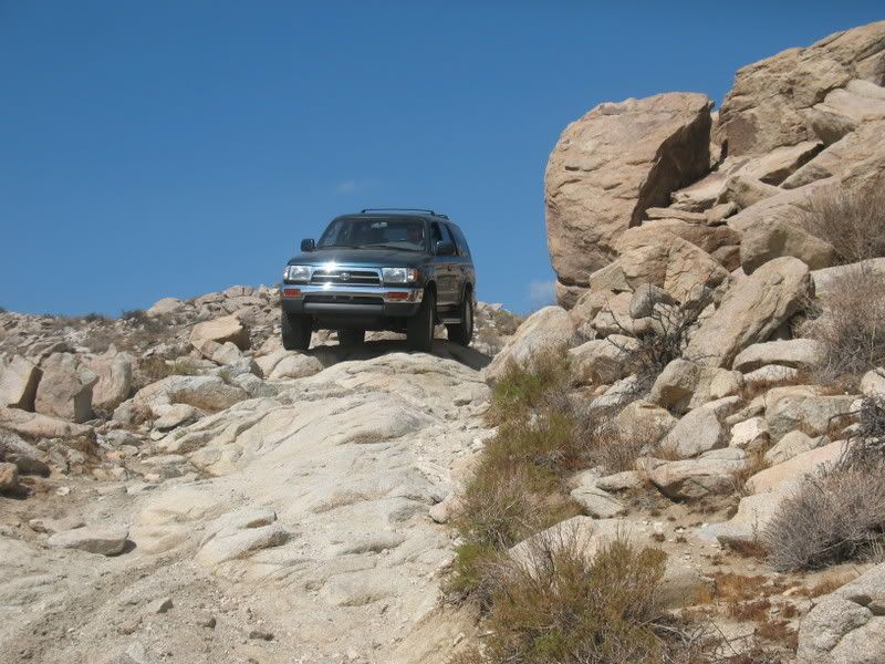
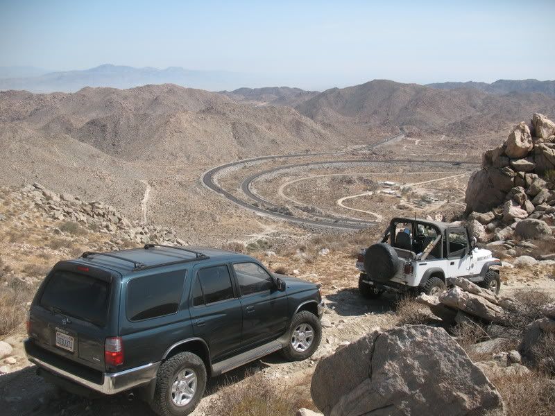
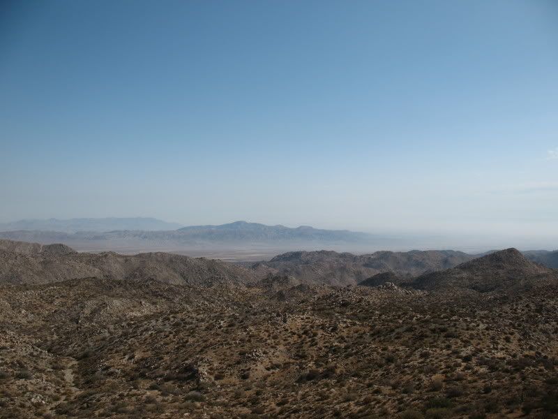
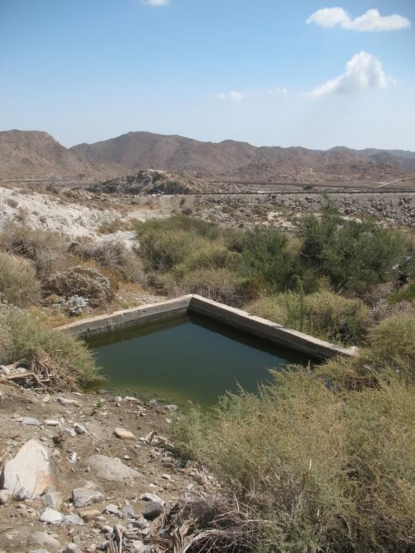
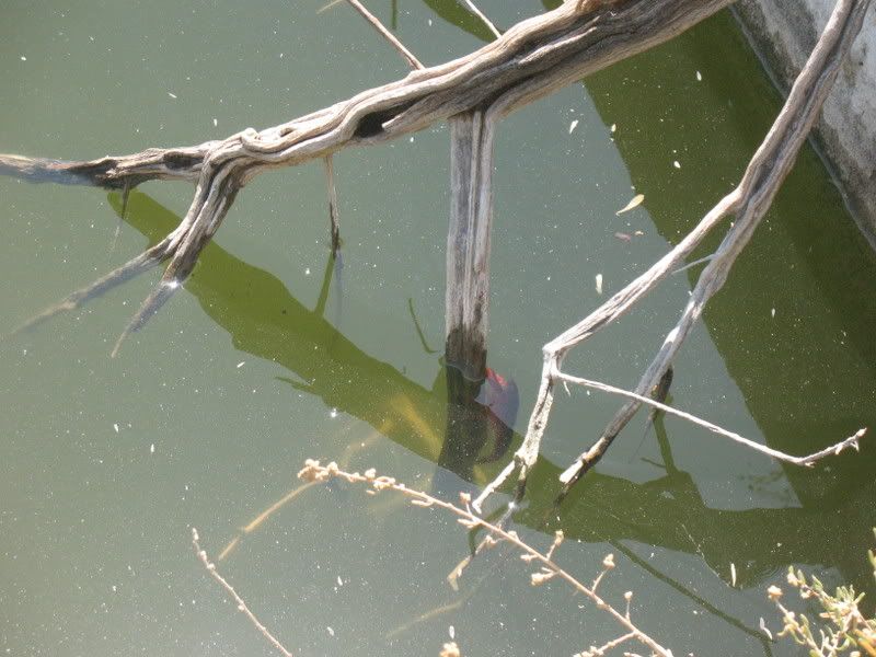
Well, it turned out to be a beautiful day and the weather was cool. After hitting the dirt and turning under the freeway towards Table Mountain, I made a few wrong turns until we figured out were we wanted to go. The trail heading down the grade turned out to be a bit rockier than I hand anticipated but wasn't anything we couldn't handle. After descending the loose, off-camber trail, we found a spring that I'm sure was used as the local watering hole. It was full as crawfish as well! Then just before we began to start up the grade, we spotted a large bighorn sheep walking down the trail toward us! Looks like he was heading to the spring. After taking a few pics we were on our way. We also ran into a few Jeeps making their way down. Soon we were back at the trailhead airing up. It was a great way to spend the morning. There are a number of other trails in the area that I'll have to check out, lots of history in this area.

IMG_3496.jpg


IMG_3498.jpg


IMG_3497.jpg


IMG_3493.jpg


IMG_3509.jpg


IMG_3508.jpg


IMG_3505.jpg


IMG_3499.jpg


IMG_3517.jpg


IMG_3518.jpg
 
Last edited:

wjtoy

New member
BorregoWrangler,

Does the trail make it all the way down to the bottom of the grade? When you say that you got off at Table Mtn, is that the Jacumba exit? I would be interested in checking out this trail....did you happen to log this trip in a GPS unit?

thanks....
 
S

Scenic WonderRunner

Guest
Nice run!

I just love this place!

I first visited a couple years back. When I found it, there was not one tire track on the trails down to Mtn. Spring. The trail looked like it had not been used in years! I'm Serious!

This is a very special area. And I would not like to see it closed due to over use. I had to keep getting out of my truck and move huge rocks out of the way, to keep going.

http://www.blm.gov/ca/st/en/fo/elcentro/recreation/poi/el_cajon.html

"TABLE MOUNTAIN
North of Interstate 8, Table Mountain offers views of the In-Ko-Pah Mountains and Jacumba Mountain. Table Mountain provides numerous opportunities for recreation. The Table Mountain area has been designated an Area of Critical Environmental Concern (ACEC). Anza-Borrego Desert State Park and private lands border public lands on Table Mountain, please respect all posted signs."


~~~~~~~


Out of respect for the land.....and this very special place. I have never posted an exact map to the location.


.
 

rynosurf

Adventurer
I haven't done that run yet but it looks fun. I spent the morning shooting in Jacumba then went into the Valley of the Moon for a few hours; the weather was perfect out there today.
Forgot to take photos but I got a shot on the way back to the highway.
votm001.jpg
 

BorregoWrangler

Rendezvous Conspiracy
wjtoy said:
BorregoWrangler,

Does the trail make it all the way down to the bottom of the grade? When you say that you got off at Table Mtn, is that the Jacumba exit? I would be interested in checking out this trail....did you happen to log this trip in a GPS unit?

thanks....

Well, it goes down to Mountain Springs. You could actually get back on the freeway there. But you could use either the Jacumba or In-Ko-Pal exit. Sorry, no GPS.
 
Last edited:

BorregoWrangler

Rendezvous Conspiracy
Scenic WonderRunner said:
Nice run!

I just love this place!

I first visited a couple years back. When I found it, there was not one tire track on the trails down to Mtn. Spring. The trail looked like it had not been used in years! I'm Serious!

This is a very special area. And I would not like to see it closed due to over use. I had to keep getting out of my truck and move huge rocks out of the way, to keep going.

http://www.blm.gov/ca/st/en/fo/elcentro/recreation/poi/el_cajon.html

"TABLE MOUNTAIN
North of Interstate 8, Table Mountain offers views of the In-Ko-Pah Mountains and Jacumba Mountain. Table Mountain provides numerous opportunities for recreation. The Table Mountain area has been designated an Area of Critical Environmental Concern (ACEC). Anza-Borrego Desert State Park and private lands border public lands on Table Mountain, please respect all posted signs."


~~~~~~~


Out of respect for the land.....and this very special place. I have never posted an exact map to the location.


.

I hear ya, SWR. I've known about this area my whole life. Its a very popular and well known place come hunting season. I know of several guidebooks that map out this area. Anyone exploring these trails really needs to obey all posted signs and tread lightly!

Here's a pic of the road from 1910:

Moutainspringsauto.jpg
 
Last edited:

Forum statistics

Threads
187,063
Messages
2,890,736
Members
227,743
Latest member
Gotfuzz
Top