A winter trip to explore/scope out areas north near Black River etc. and other various spots “close” by. Was very pumped thinking there would be a great area to explore but found the terrain was going to be too swampy in the summer for too much wandering.
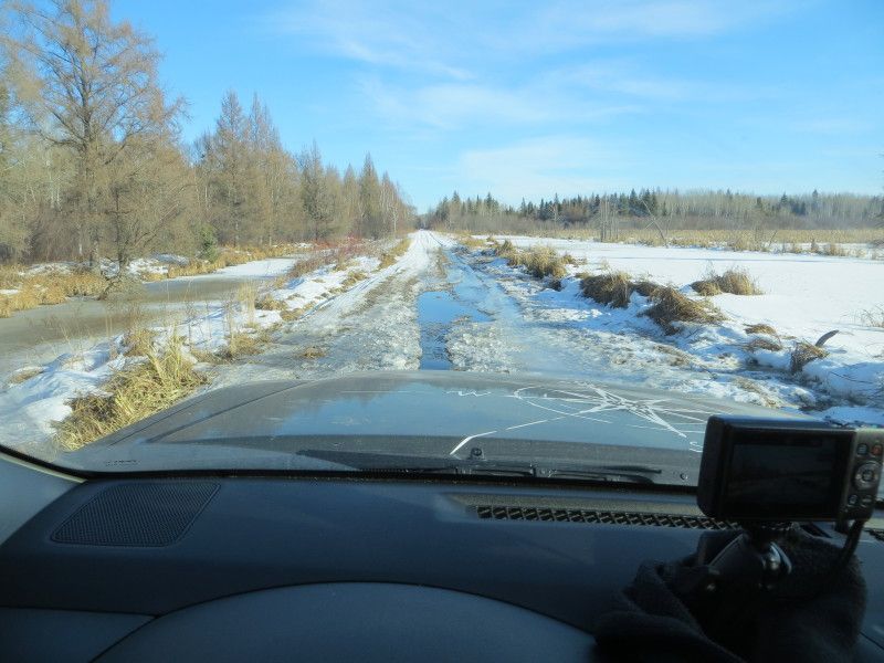
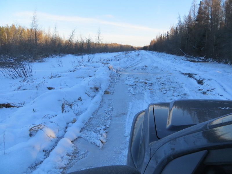
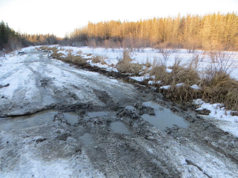
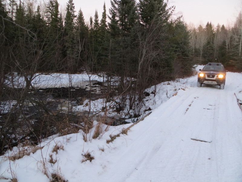
Starting north of Pine Falls, Manitoba taking the main trail going northeast after turning onto the logging roads… Icy wet conditions with somewhat solid trails underneath.
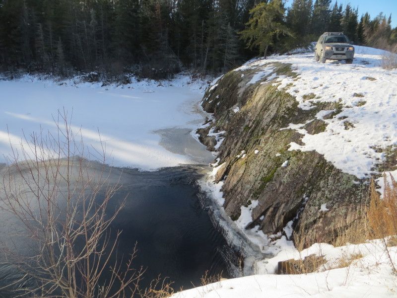
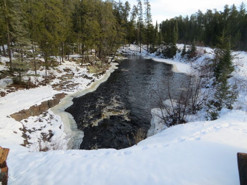
Dead end at Black River 50.785378, -95.716466
A nice spot midpoint between the two highways with a known canoe route down the length of the river from one end of the highway to the other.
Trail going east from west…
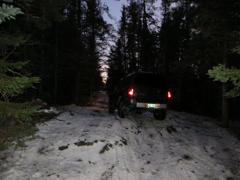
Was worried about posting the truck between two layers of ice but this was still early in the season. Was able to scrabble back onto the top layer whenever it broke through the ice. In some areas it would have been impossible to access solid anchor spots as the tree lines were on the opposite side of flooded ditches with a thin layer of ice on top. 4'+ deep. Too cold for a swim! Lol
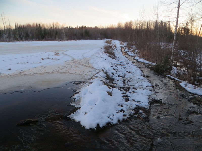
Trying to head south towards Maskwa Lake on main trail 50.61991 -95.63301 I might have tried to cross this is if I had some better recover gear and HD chains for the tires. Might go back in the late summer to explore the possibility of going to the right of the beaver dam keeping the one set of tires up on the berm. I did not want to slide into the swamp on the right in these conditions while driving alone.
A side trail towards Donner Lake
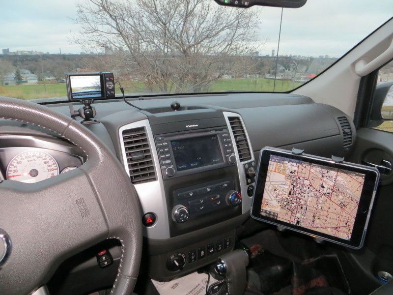
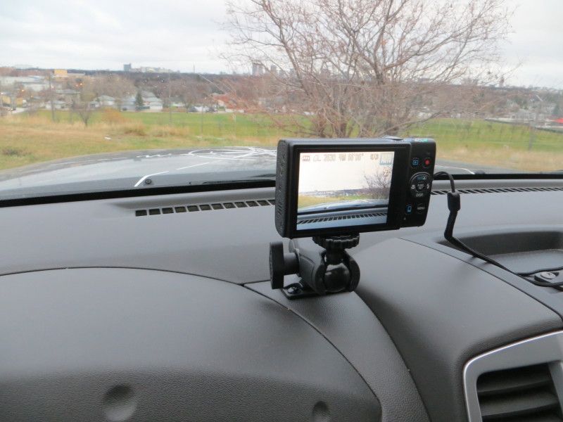
I had a dash camera running for this and will try edit the videos into a short little window into the driving conditions. I might be adding a pull pal into the wish list as a portable ground anchor may have been wise in some of these areas.

