Ontario Overland Project

R_Lefebvre

Expedition Leader
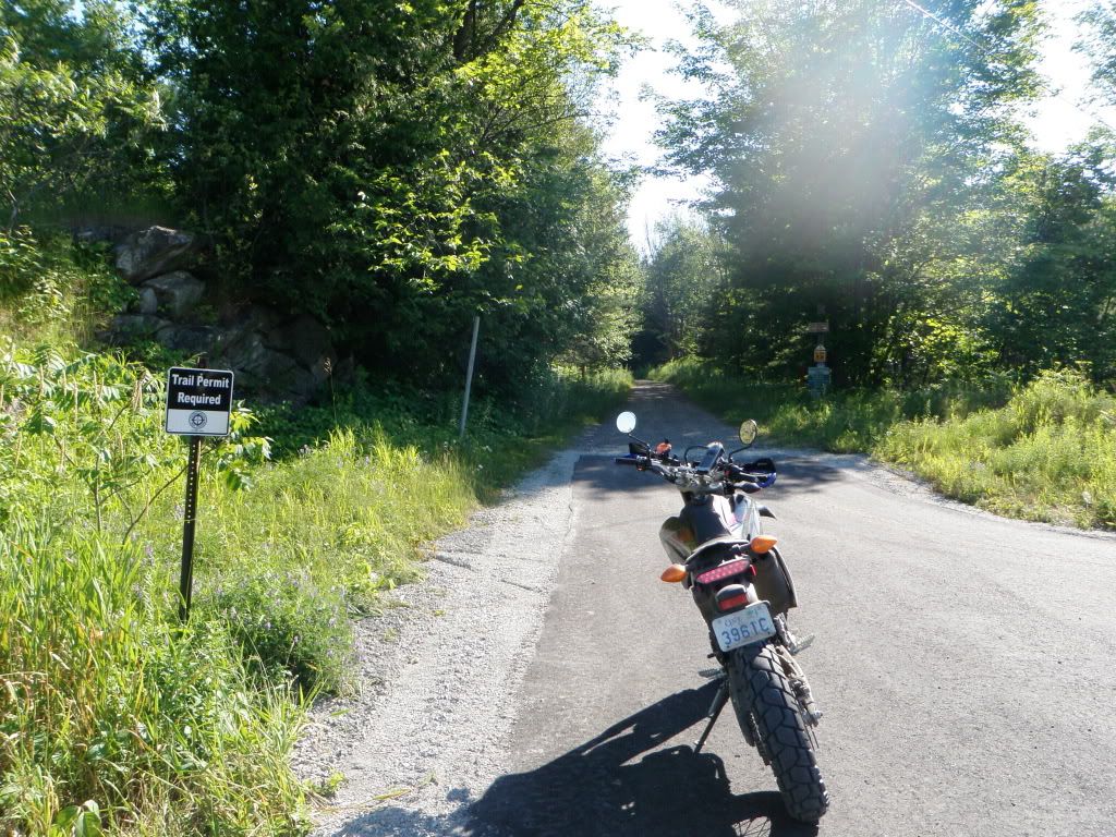
Weather is looking good for tomorrow. I will probably ride the Trans Canada Trail from Blairton Station outside Havelock to Glen Tay near Perth. It'll be interesting to see what the K&P Rail Trail does where it intersects near Sharbot Lake. I don't know if it is passable south to Kingston, or ends at Sharbot Lake? I know the rail bed exists, but I think it's not on the EOTA map because they haven't acquired a user agreement yet.

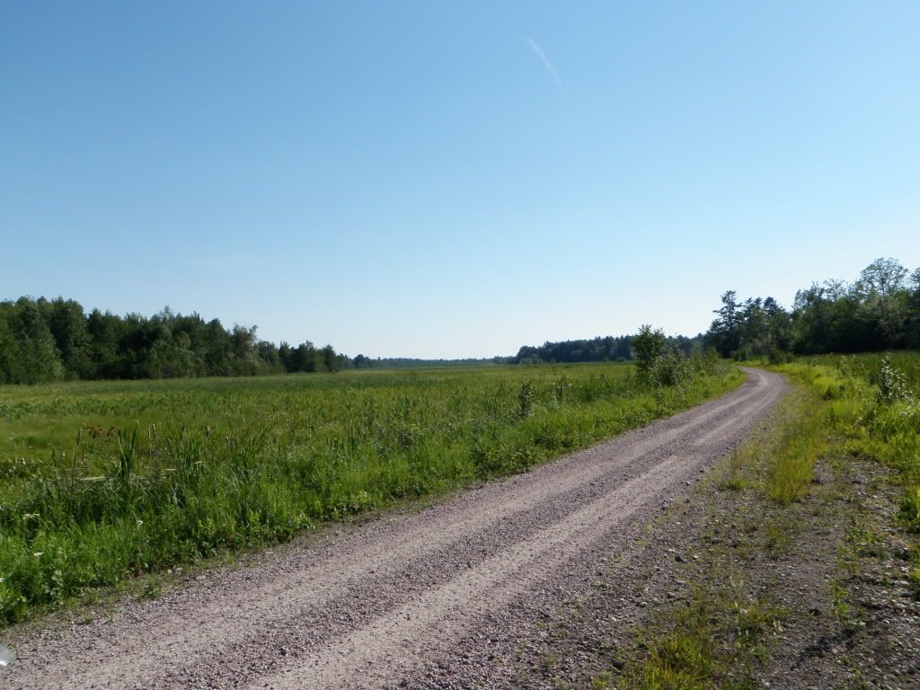
The run will be 143km of off-road. Will have to plan my fueling properly and bring supplies. The bike is more prepped this time with more appropriate tires and working GPS.

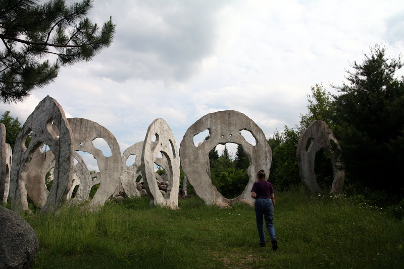
I wish I could ride the Cataraqui trail back, but that is marked as no-motorized-vehicles. I'll probably take a back-roads ride back, through Rideau Lakes and would like to have a look at Frontenac Provincial Park.

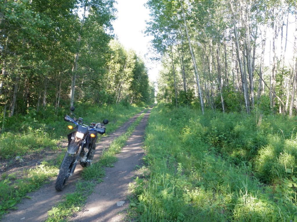
It looks like a giant loop is possible, from Havelock to Sharbot Lake on the TCT, K&P up to Calabogie, west on the E100 to Gilmour and then back south on the Marmoro. But, probably too optimistic for a one-day "light and fast" ride with no camping gear.
 

cobratom

Approved Vendor
I am very interested in joining you or anyone else interested in exploring these trails or others. I have plenty of experience, am well prepared and tread lightly. Let me know if you want a additional truck with you.
 

dzzz

Interesting. In the U.S. that wouldn't be open to motorized vehicles. It would be a bike trail.
 

R_Lefebvre

Expedition Leader
Yeah, it's sort of interesting difference between the countries.

First, we do have a lot of pressure from the tree-huggers to close it to motorized vehicles. Basically, the closer it is to an urban center, the more likely it is to be closed. But that's pretty much the point. Due to the lower population density in Canada, many of these trails are quite far away from any population that would want to use them. If somebody wanted to hike one of these trails, it would be a very boring week long slog with not much to see. When those same hikers could go to any number of our nice parks for not a lot of extra effort, and do some real hiking on real hiking trails... well that's what they do. The only walkers/bikers on the trail are local rural people using a short section for daily excercise, or the odd person hiking the trail just because it's there. And they only do it once.
 

dzzz

One problem with opening it to 4x4 is that it's too narrow. The bridges need to be cantilevered properly for heavier vehicles. That should be engineered and professionally built, which I doubt is the case on your trail. Leaving it ambiguous sometimes is better than getting a clear answer, which in your case is likely "no". I don't see how they can say yes without spending a lot of money on those bridges.
Isn't it a better motorbike trail anyways? Looks kinda boring for 4x4.
 

R_Lefebvre

Expedition Leader
Those are old train bridges. They're fine for a 4x4. In fact, that trail is an OFSC trail in the winter, and they take heavy (~10,000 lb) trail grooming tractors over them all winter.

It's a little boring on a bike too. But, it gets you a little bit closer to nature and it's interesting to explore.

If you stick to the highways, you miss out on interesting things like this:

IMG_0945.jpg


IMG_0638.jpg


IMG_3221.JPG
 

R_Lefebvre

Expedition Leader
That is Midlothian Castle near Burk's Falls. It's near the Old Nippissing Trail. I haven't been there yet, but it's on my list for this year when I get the truck fixed.

Google: Midlothian Castle Screaming Heads. It's a fascinating place.
 

Petro

Adventurer
Thanks Rob, looks pretty cool. Going camping at Arrowhead for 4 days next month, looks to be only a 30min drive away, going to see if I can squeeze in a visit.
 

R_Lefebvre

Expedition Leader
There's a good chance I'll take another shot at it this Sunday. This time coming back from Cornwall to home. So I'll drive the Trans Canada Trail from Perth to Havelock. Any suggestions for a interesting route from Cornwall to Perth appreciated.

I also wanted to do a loop up in Quebec around Maniwaki-Verendrye area, but I don't have the fuel range on the bike yet. Need to get a bigger tank!
 

R_Lefebvre

Expedition Leader
Ok, so last Sunday I rode a long leg of trail. Well, I rode a lot of road too. I ended up taking my bike again, because of the scouting nature of this, and the truck is still down. I off-loaded the bike east of Cornwall, and rode Hwy 2 westward through Cornwall, Morrisburg, and Prescott to Maitland. Then turned north on some farmers roads up to Smith's Falls and then Perth. This was actually a pretty nice drive. I recommend anybody traveling the 401 corridor who has some time to kill, get off the 401 and take Hwy 2. The 401 bypasses all kinds of nice old historic towns.

I had originally set out wearing my touring jacket, but quickly turned around and swapped that for my lightweight enduro armor and a jersey, and boy was I glad I did. Sunday was the start of a pretty serious heat wave around here. I didn't have much, 2L of water in a hydration pack, basic tool kit, cell phone, Spot and GPS and.... that's about it. I am starting to build up a bare minimum of survival gear which I intent do carry any time ride trails. Matches, a stick of fire starter, and an emergency blanket.

Once in Perth, I headed west on Hwy 2 to Glen Tay, where the trail is supposed to start. This is when I realized that I had forgotten my EOTA map in my touring jacket. :( 
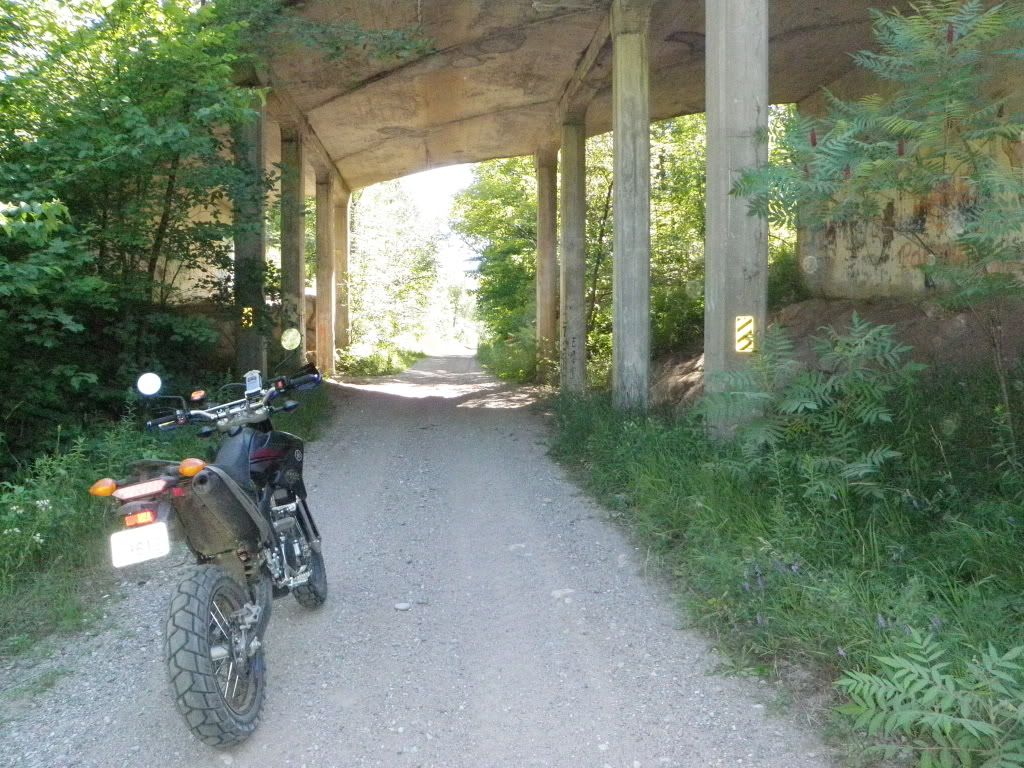
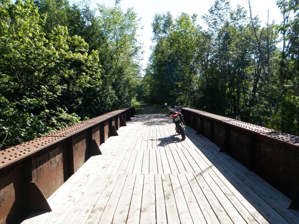
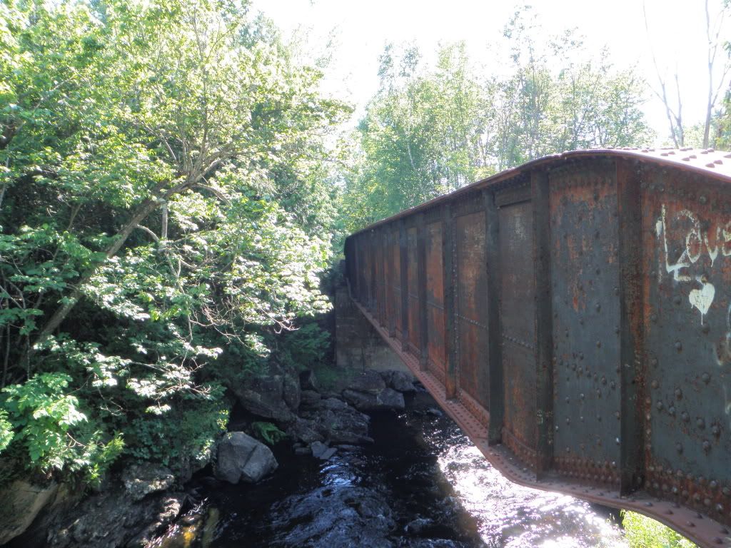
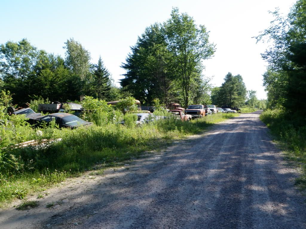
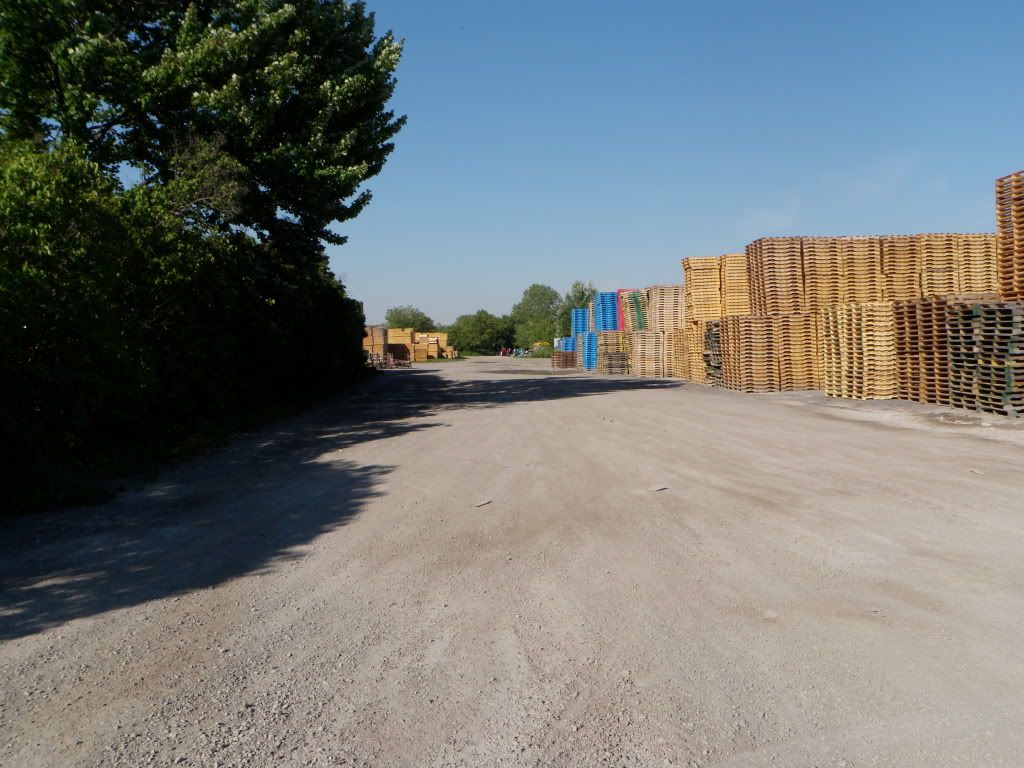
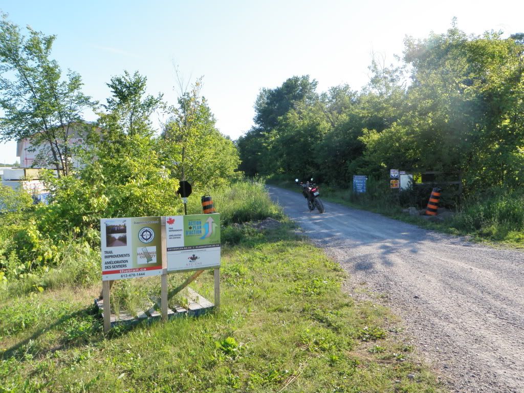
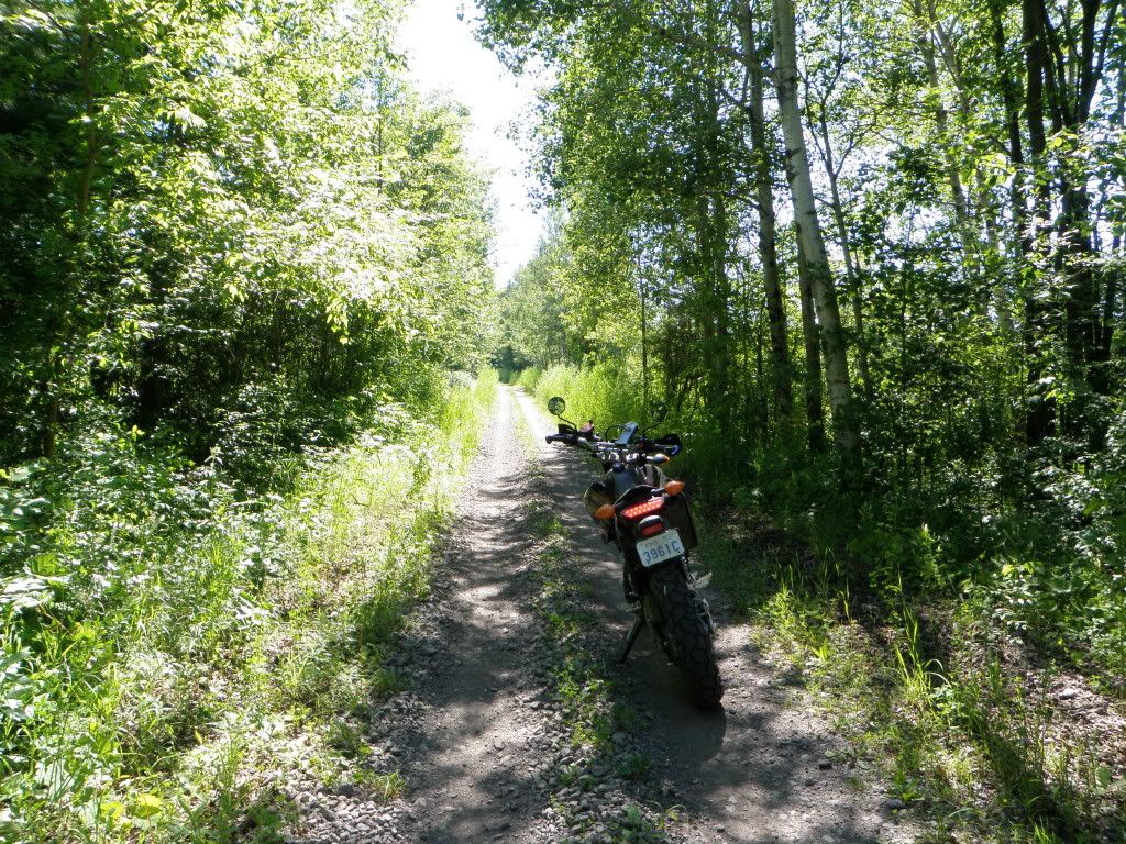
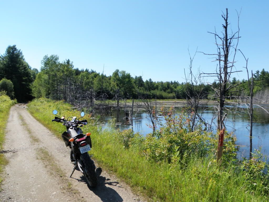
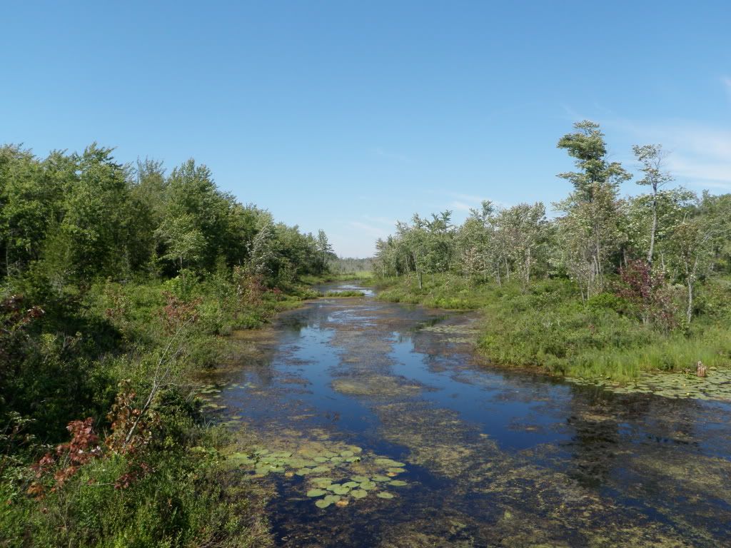
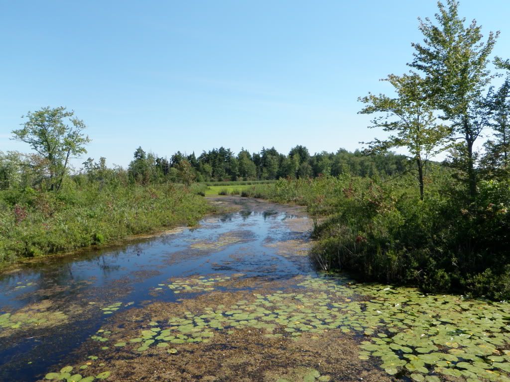
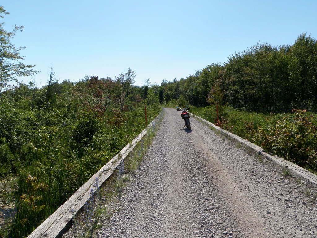
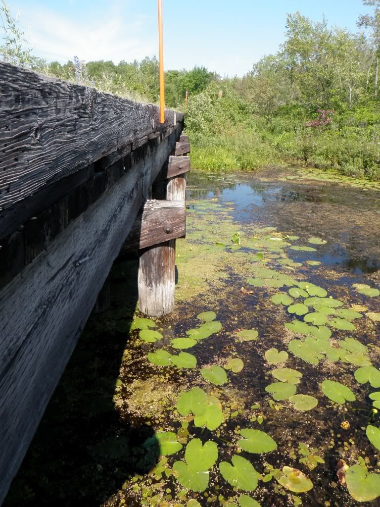
But, there's not too much out this way, and I figured I'd just ride north or south on some sideroads until I found where the east-west trail intersected it. This turned out to be a little more difficult. The trail is much more overgrown than the previous one. Eventually I found this:
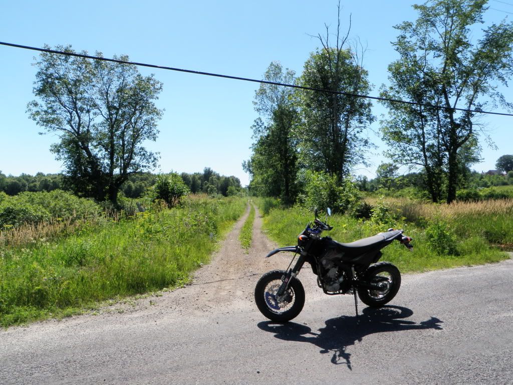
P7040011.jpg


But, where is the EOTA sign? Is this a farmer's road or the trail?

Oh, there it is:

P7040009.jpg


They must have placed these signs during winter, early spring or late fall. :rolleyes:

As I said, this part of the trail was much more overgrown than the other sections. Limb risers might be helpful if you're in a truck.

P7040012.jpg


After several miles, the trail widened into more of what I've come to expect. And, it actually turned into the most charming trails I've run so far. Maybe it helped that it was a beautiful sunny day. The trail didn't go through too many farmer's fields or towns, and it passed by many more lakes and wetlands. I think this might be McGowan lake near Maberly.

P7040014.jpg


P7040018.jpg


I believe this is the river for Little Mud Lake, and then Little Mud Lake itself. Very pretty.

P7040019.jpg


P7040021.jpg


Dunno where this was:

P7040022.jpg


P7040023.jpg


Here's one section of bridge that is a little concerning... well actually it's a long long bridge. There were two sections like this. I believe this is the wetlands west of Maberly. I looked at the bridge, it's kinda... meh. If one of these sections fell, I'd think the truck could be recovered fairly easily. And again, I believe this is a major OFSC trail over which a 10,000lb groomer passes regularly.

P7040025.jpg


P7040024.jpg
 

R_Lefebvre

Expedition Leader
As I approached Sharbot Lake, the trail heads under Hwy 38. This underpass was interesting. Lots of signs of the local "wildlife". ;)

P7040027.jpg


And then you end up in Sharbot Lake. This historic rail line is commemorated here.

P7040029.jpg


Then you pass through a township public park area with public docks, boat launch ramp etc. Pay attention through here to make sure you stay on the trail as there are dirt roads branching off everywhere. I didn't upload too many pictures of the area, wasn't sure if anybody was interested, but the lake sure was nice.

P7040031.jpg


I don't know particularly where this was, more wetlands/lake. This section of the trail is just bordering between the St. Lawrence River Valley and The Canadian Shield. So there are many lakes, but most of them seem to be shallow and boggy.

P7040034.jpg


And then I came upon a beautiful old train bridge across a small gorge. If I had to guess, this is near Arden.

P7040036.jpg


P7040040.jpg


P7040037.jpg


Then I saw an ATV trail heading off the rail bed. It is on the north side of the trail, on the east side of the bridge. It heads down into a little unofficial but well-used looking campground bordering the lake and the gorge. It might be possible to get a Jeep down through here, but it's tight.

P7040042.jpg
 

R_Lefebvre

Expedition Leader
More wetlands as I approached Kaladar.

P7040043.jpg


There's not much to see in Kaladar. The trail crosses Hwy 41, and there is an opportunity for gas there. There was a lineup of traffic from cottagers returning on Sunday afternoon, filling up with gas before turning west on Hwy 7.

The only thing of interested was this scrap yard. I have no idea what the deal was. I saw this pile of cars, and stopped to take some pictures. Then off to my left, I saw a shack, with a group of dirty people sitting around what smelt like a garbage campfire, drinking beer. I swear I could hear dualing banjos. As I took out my camera, a woman came up and asked me what I was doing. I said I was just exploring, put the camera in my pocket and left. The scrapyard is much more extensive than what is shown here. It's just full of... crap. Old cars. Really old cars. A pile of used 1lb propane cylinders. Tires, buses, trailers, trucks, boats, train cars... I have no idea what it was about. They were using the rail trail to access what I assume was their property to the south, and just piling junk up along the trail. Kaladar used to be a regional center, but when the rail line pulled out... now it's just a gas station with a large store, I think a motel you don't want to stay at, and a police station.

P7040046.jpg


Where the trail crossed Hwy 41, I saw this sign. This is the ONLY time I've seen a sign like this.

P7040048.jpg


More bush 2-track.

P7040050.jpg


Then the trail comes out in the nice little town of Tweed. Strangely, it seems to go right through the stockyard of a pallet company. There were no signs indicating what to do here, so I drove through. It appears they are just using the trail to access their stockyard, as they had kept the way clear. I'm guessing the factory was built where it was so it could be served by the railway, but no more.

P7040053.jpg


P7040055.jpg


Same deal with the local lumber store. This whole area could be easily driven around on the roads.

P7040057.jpg


Then, it turns back into a normal trail. And, oh look, I bet those signs cost more than the improvements that they are advertising! Your Convservative Tax Dollars hard at work!

P7040058.jpg
 

Forum statistics

Threads
188,981
Messages
2,911,584
Members
231,449
Latest member
4ROAMER1
Top
­