Oregon, Ochoco NF: June 14-17, 2012

Bill Beers

Explorer
Day 1, June 14, 2012.

Route.

Last spring, my cousin Brian called me and asked if I had a weekend free in June over which we could do a camping trip in central Oregon. I had forgotten that it was five years since our last camping trip to the Ochoco National Forest. We picked a weekend, and I started planning a route. Since our last trip, the Ochoco NF has implemented the use of a MVUM, (motor vehicle use map.) In a nutshell, it means that if the road isn't on the map, you may not drive on it. I called the Bend NF office, (541-383-5300,) and they mailed me the Deschutes and Ochoco MVUMs. They ended up not affecting my propose route too much.

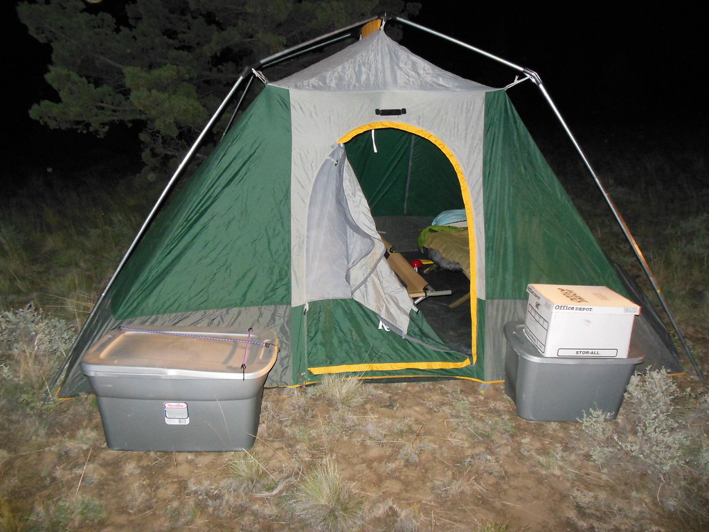
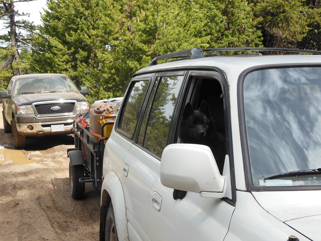
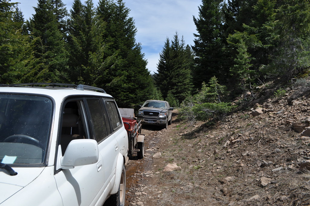
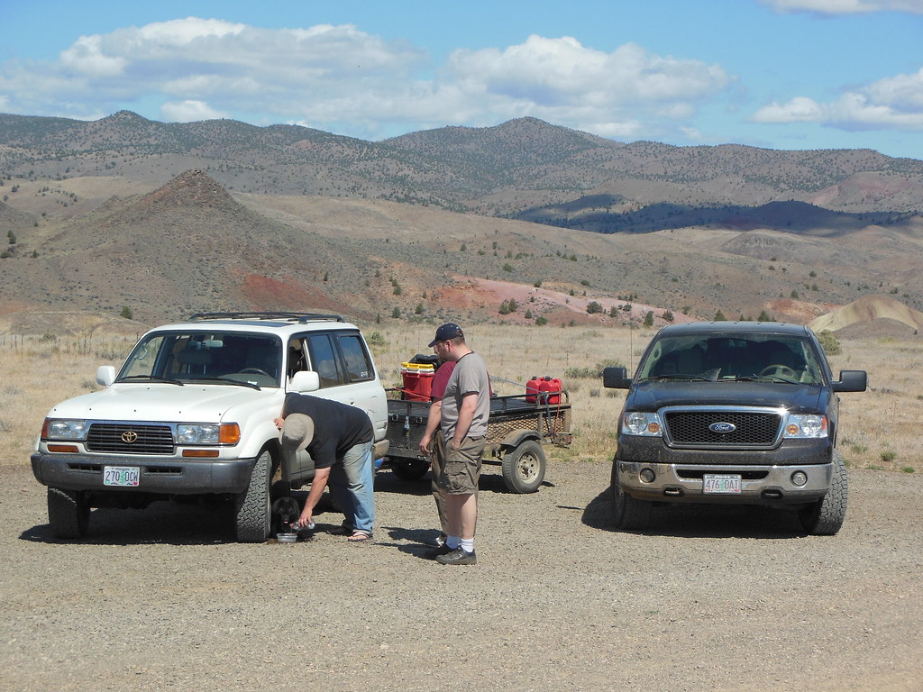
We added three more to our crew, so when we set off after work on Thursday, two of us in a F150, and the remaining three, (plus my dad's dog, who I was dog-sitting,) in my Landcruiser. It was seven o'clock when we finally got out of Portland, which made it pretty darn dark when we got our overnight spot above the Prineville reservoir. This is all private property, so make sure you get the landowner's permission to camp if you decide to stay up there.


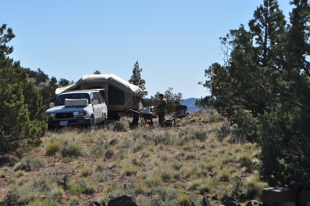
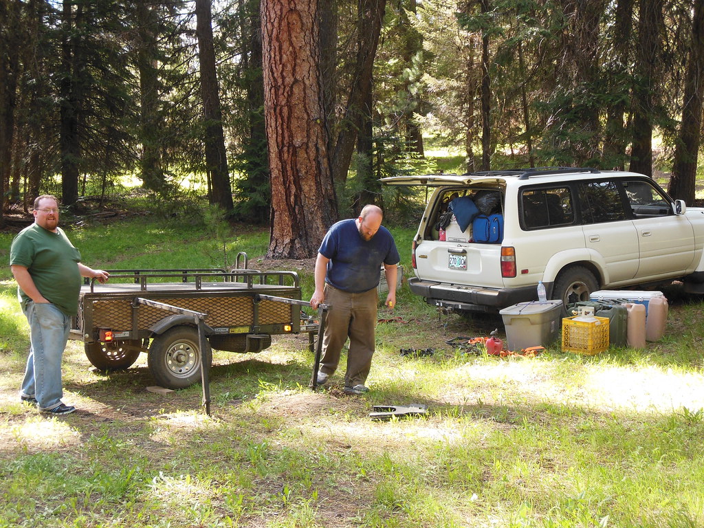
Brian and I "quickly" set up the tent trailer, while Rod, Pat and Dave set up their tent/cots.

8444441769_fee915e13e_b.jpg


8445531170_065e8c0137_b.jpg


We hit the rack so we could get an early start the next morning.
 
Last edited:

Bill Beers

Explorer
Day 2, June 15, 2012

Route.

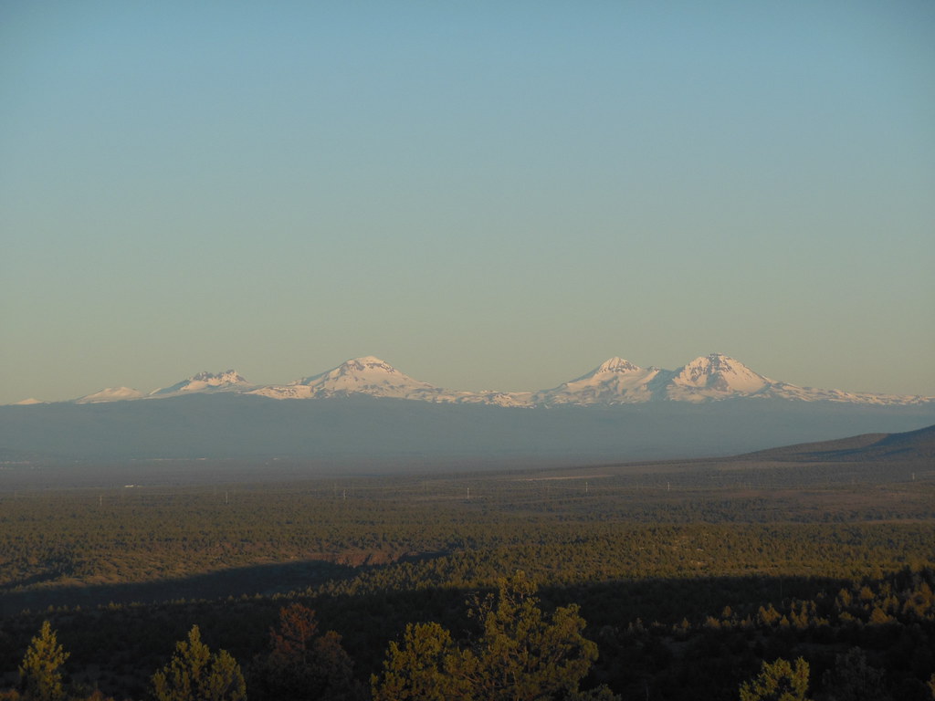
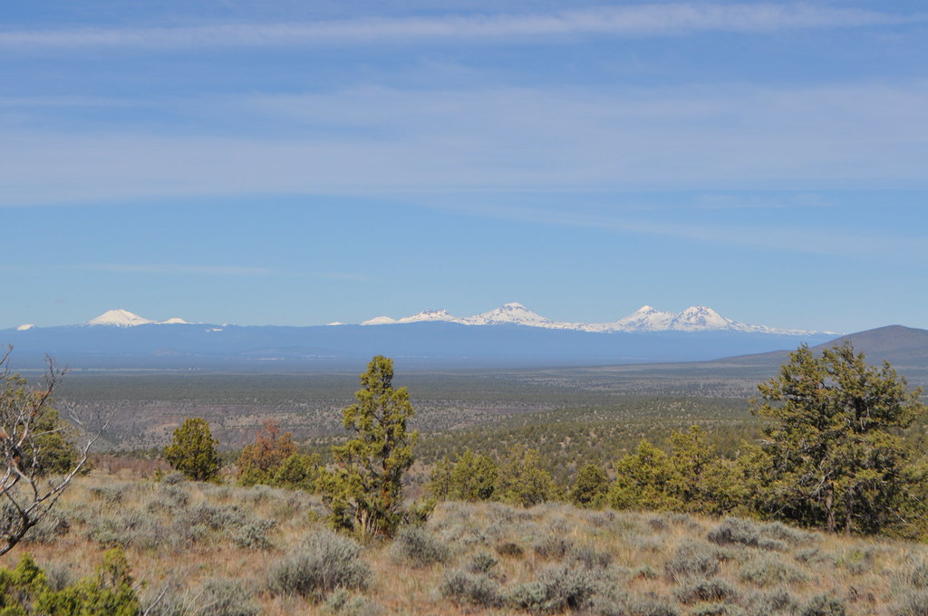
We woke up early-ish to the sun shining on the Three Sisters off to the west a bit.

8444467141_3942cd8605_b.jpg


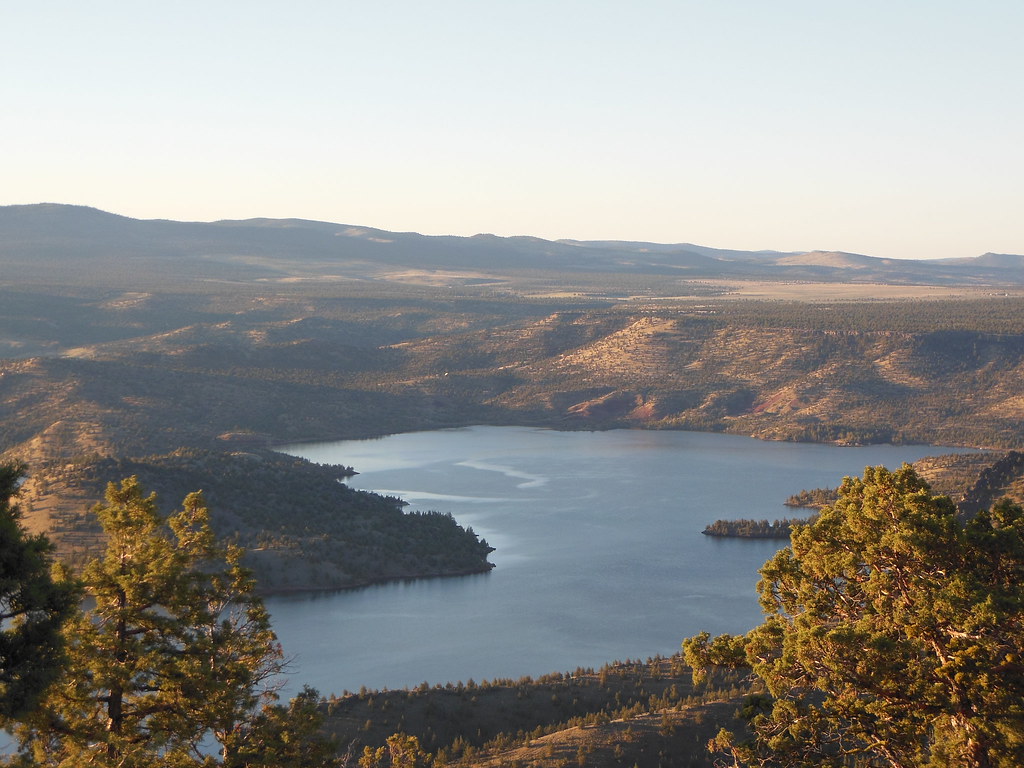
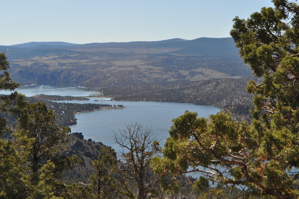
We hiked south east over the crest until we could get a good look at the Prineville Reservoir.

8444466599_a305d99d06_b.jpg


8444464935_85a0ef73bd_b.jpg


Brian, Dave and Rod, heading back up to camp.

8445552718_ce4d431683_b.jpg


More sun now on the Sisters.

8444463267_d30884be5a_b.jpg


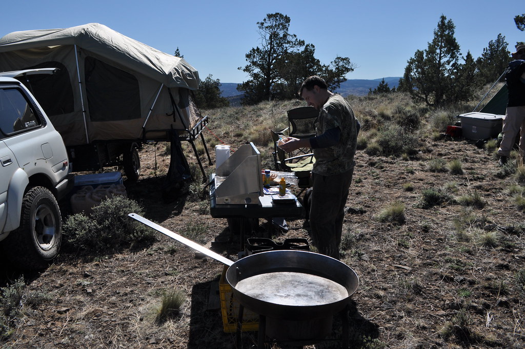
Breaking out the breakfast-making gear.

8445551148_68e48e89c9_b.jpg


To include the humungous frying pan, (which is really handy when making huevos rancheros w/chorhizo for five!)

8445550314_6281a3047a_b.jpg


We packed our gear up, and headed back to Prineville to gas up before heading into the forest.

8445551636_e009e118c1_b.jpg


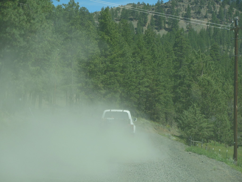
We had beautiful weather the whole weekend, high 60's to low 70's, and no rain. It could get a little dusty at times for the second vehicle in our little convoy.

8445589444_a7ffa6158a_b.jpg


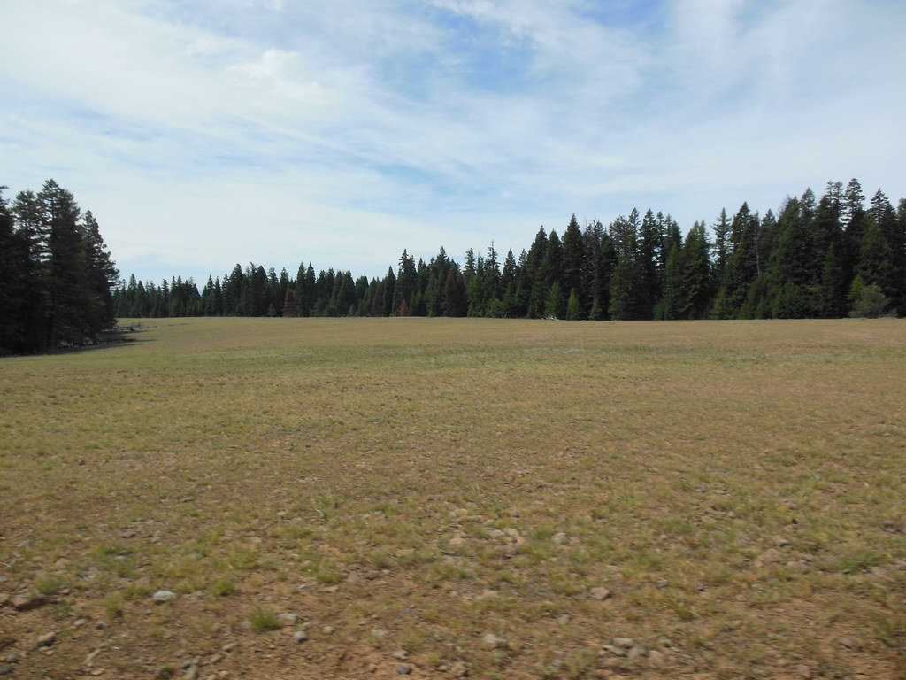
We took a very circuitous route through the NW corner of the Ochoco NF, stopping at some point to make sandwiches and check my Garmin.

8445590108_a2e9c4cfc2_b.jpg


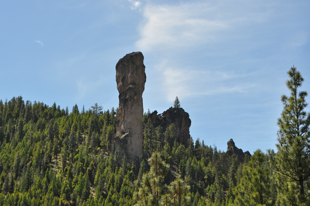
Eventually, we crossed US-26 heading east, and stopped at Steins Pillar, a 350' basalt fist punching up from side of the valley.

8445549390_89d12781ac_b.jpg


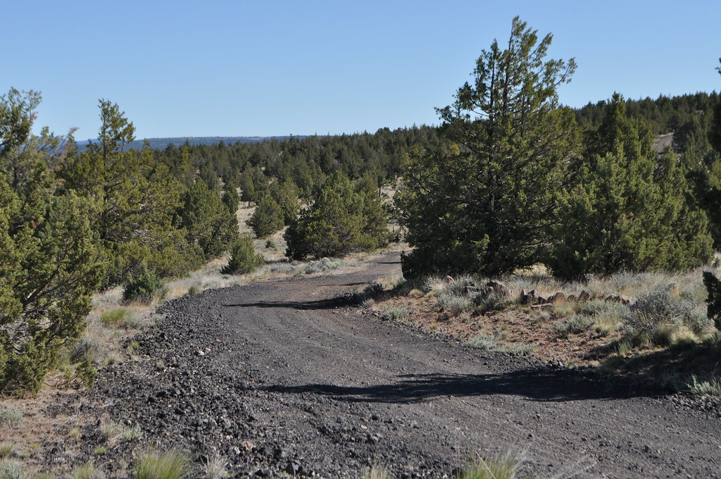
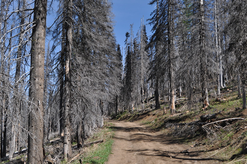
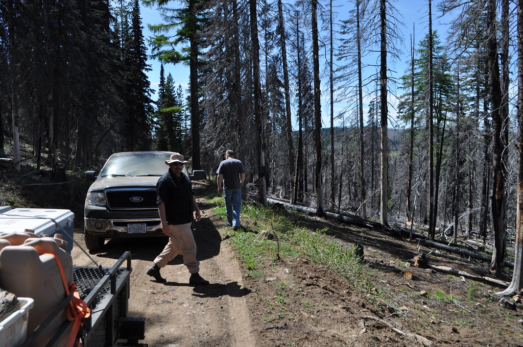
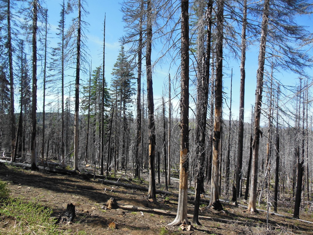
We continued east on FS-2630, which follows along the southern border of the Bridge Creek Wilderness. I don't know when this burned last, but man did it look recent! These pictures are from FS-2630, (one of the bright red dotted line roads in the Benchmark Oregon Atlas that generally denotes a pretty primitive road,) as it climbs up the north side of Mt. Pisgah.

8445653784_e84160ffb4_b.jpg


8444565067_0027f6ee0c_b.jpg


8444567313_b5eea5450b_b.jpg


We took the turn-off, and climbed up to the top of Mt. Pisgah, where we were able to get out and stretch our legs. I even had cell coverage there, and was able to check in with the Mrs.

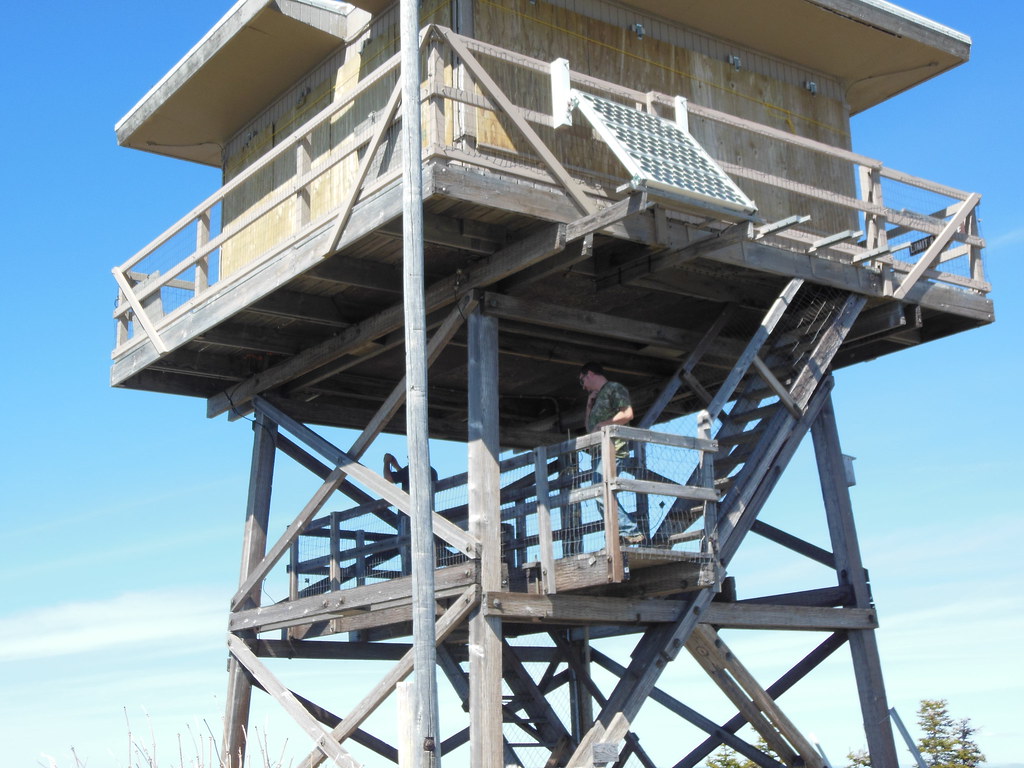
The lookout tower was locked, but could be climbed up to the last landing.

8445655858_531045d8e2_b.jpg


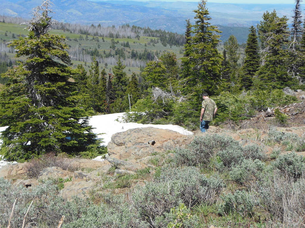
Big Summit Prairie to the south.

8444565539_85f54206ae_b.jpg


Still some snow on top, at 6816' of elevation.

8444566035_bf950b68d4_b.jpg


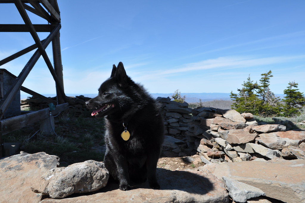
Suzie surveying her new surroundings.

8444564199_a26109e755_b.jpg


We drove back down FS2630, and checked to see if there was room at Scott's Camp, (there wasn't,) and so continued on just a mile or two before finding a nice, well-used, dispersed camping site for the night.

8444614065_fa0360d002_b.jpg


8445702706_f7f8d28963_b.jpg


It was nice getting off the road in the daylight. Plenty of time to set up camp and relax. Pat made us killer steaks, and we stayed up around the fire.

Next: Spanish Peak!
 
Last edited:
Bill Beers

Explorer
Day 3, June 16, 2012

Route.

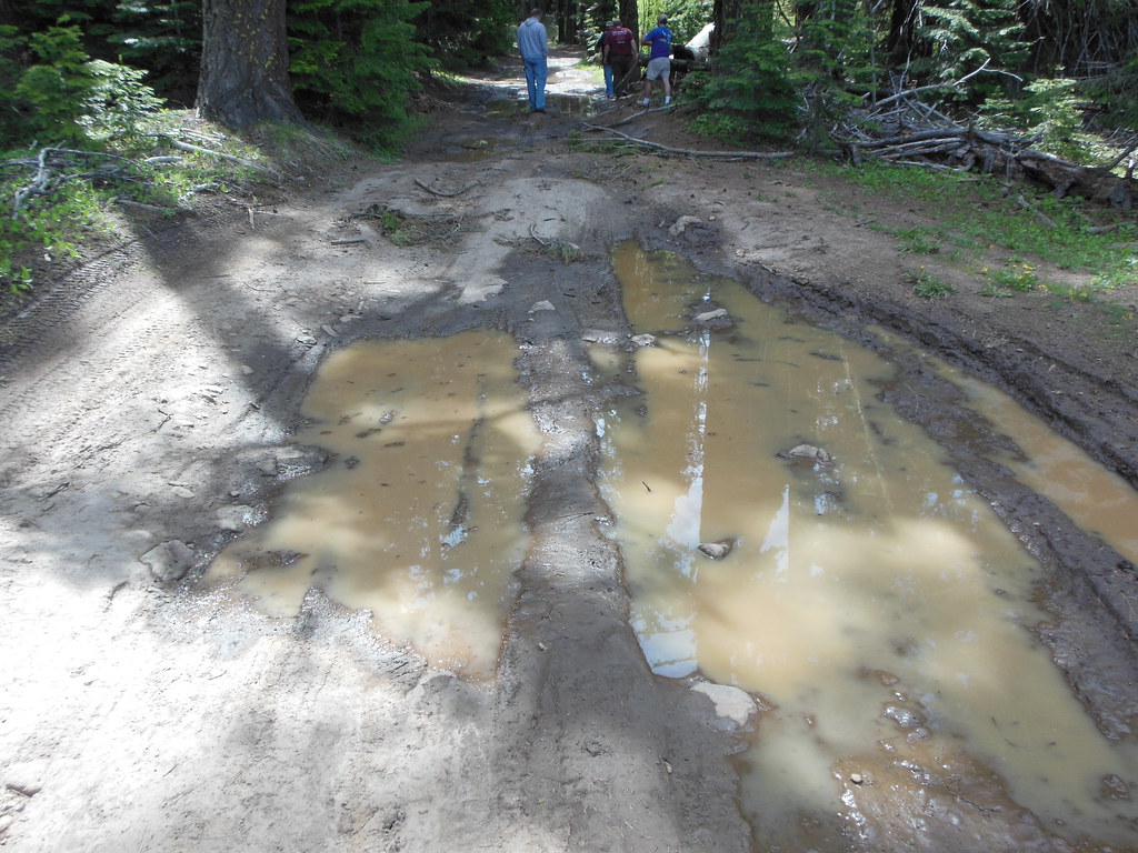
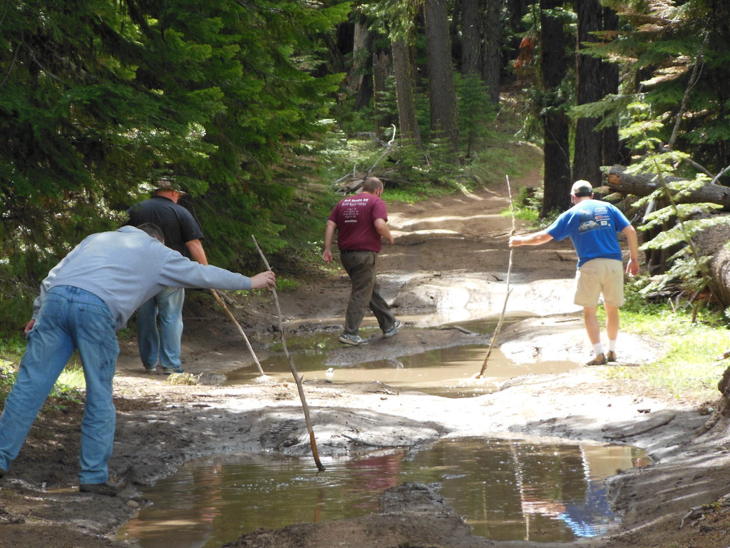
After breaking camp, we continued east on FS-26 and encountered our fist mud of the trip. We got out and walked the stretch, poking at it and picking out a route that we though wouldn't get us stuck.

8445587560_fd41402496_b.jpg


8444499923_3ec1ee093c_b.jpg


8444498751_eddd4b7438_b.jpg


The actual driving through of the puddles wasn't as bad as we thought it might be.


Just past the muddy section, we passed the Broadway Lava Fields.

8444498291_1f55eb49c9_b.jpg


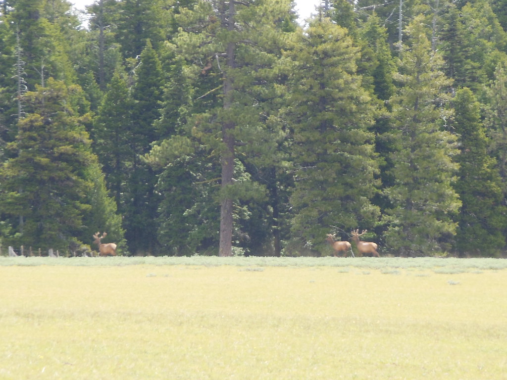
Pat was able to get a picture we saw of some elk with their antlers in velvet.

8445586066_9844511900_b.jpg


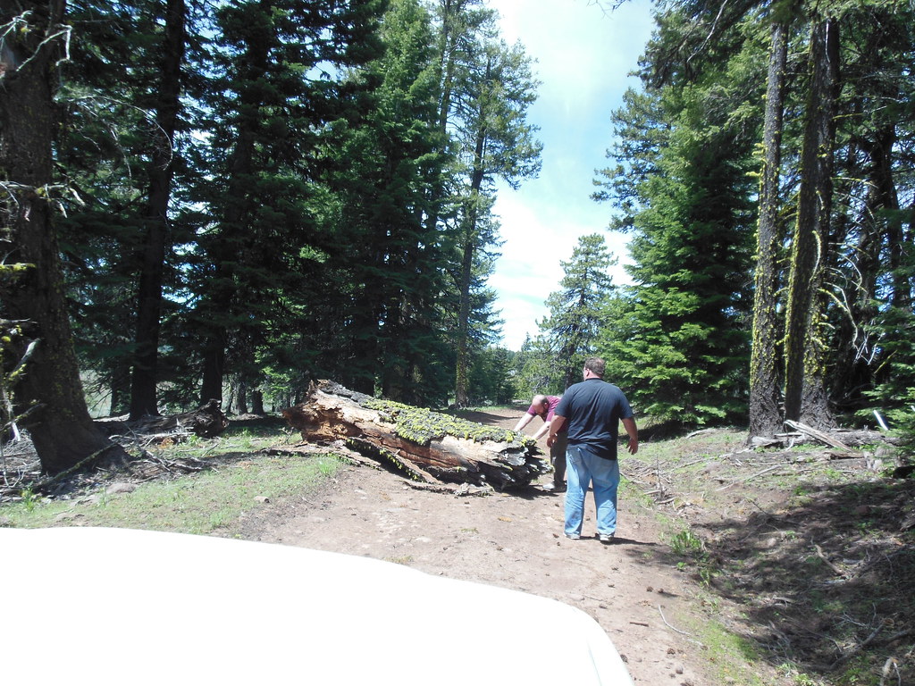
Eventually, we ended up on FS-38, headed for FS-200, (Spanish Peak road.) I think we were the first to head up to Spanish Peak this year, (at least on four wheels, the advrider.com guys could have ridden around this log easily.)

8445755476_925307efa7_b.jpg


8445735070_3b80627afa_b.jpg


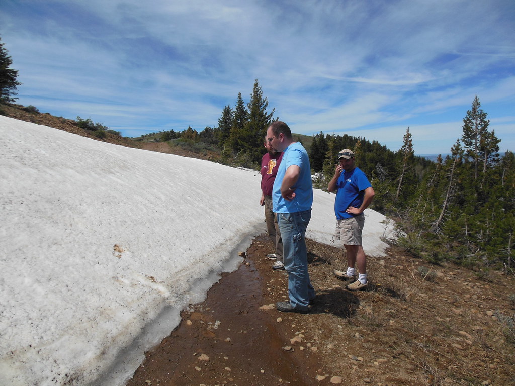
We kept climbing up until eventually we had to stop.

8444644499_7d01dc8678_b.jpg


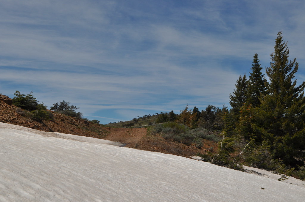
We could see the top, but decided not to attempt to claw over the drift.

8445725512_13de0585c3_b.jpg


Nothing left to do but back down.

8444635413_565f39c6b8_b.jpg


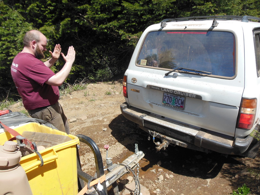
I decided that backing down w/trailer would be a major league PITA, so as Rod and Dave backed down in the Ford to go make lunch, Brian, Pat and I disconnected the trailer and turned it around.

8444643813_f5e897f62e_b.jpg


8445732712_7c6945b4b9_b.jpg


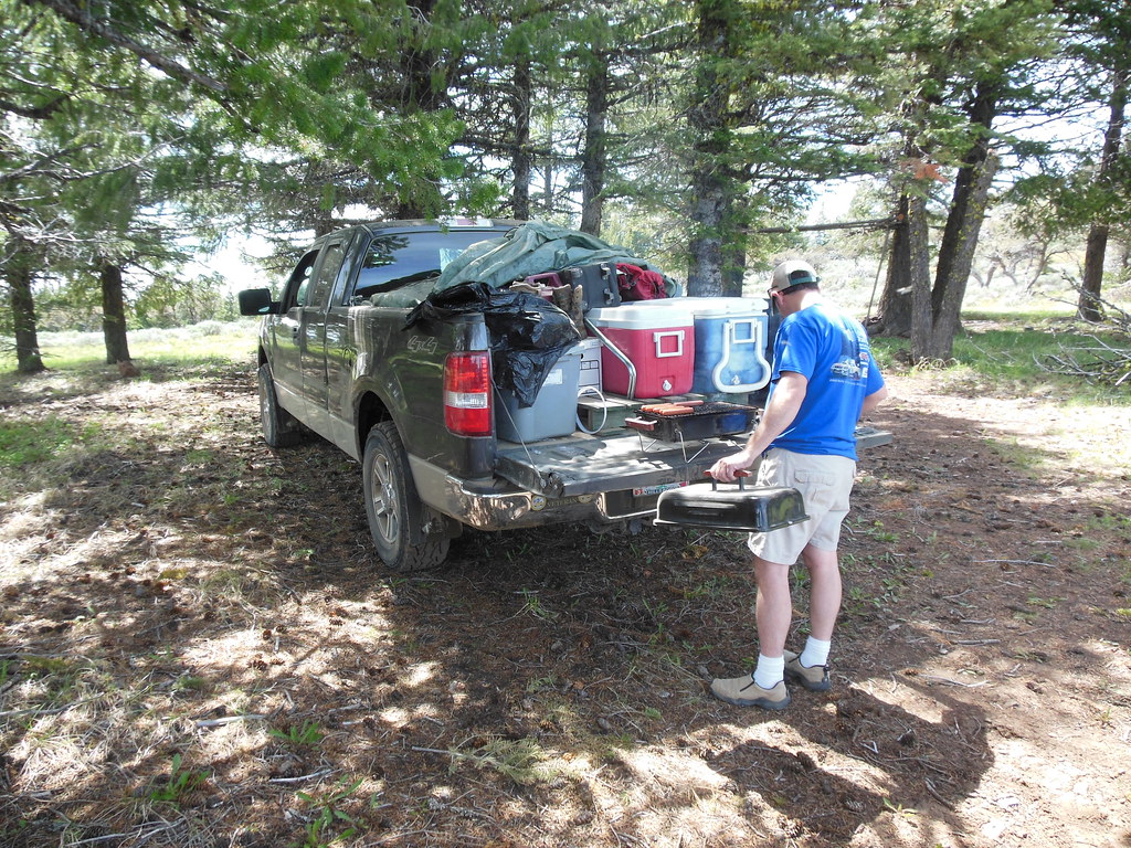
When we got down to a spot I knew well, Dave had hot dogs ready to go.

8445732058_c66049a8fc_b.jpg


We ate, and I let the dog run around a bit. Please note how the trailer is not broken at this point. This will change about a mile down the road.

8445731430_8ecabd1c36_b.jpg


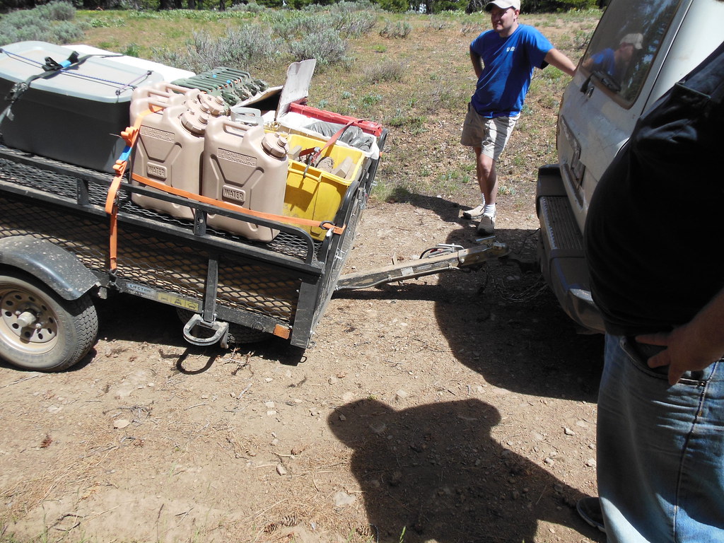
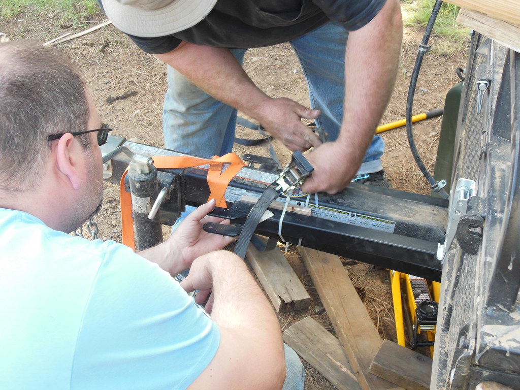
After packing up the grill, we headed back down to the main FS roads, looking for a place to camp for the night. A mile or so away from our lunch spot, I heard what sounded like dragging coming from behind the truck. As it turns out, I was right, we were dragging something. I can just hear Dave saying "Well there's your problem!"

8445730878_2f6ec12c72_b.jpg


We were able to splint it back into place w/ratchet straps and carry on. Man I love those things! I wrote a little more on the tongue breaking, field fix, and permanent repair here.

8444639641_3f9a09b677_b.jpg


While Rod and I worked on repairing the trailer, the rest of the guys saw about re-packing the back of the Ford to help spread out the load of the stuff that was previously on the trailer. Brian also broke out the map to find us A, the quickest route back to pavement, and B, a campground on the way.

Pat found this memorial marker on a rock while we were messing with the trailer. I haven't been able to find any info on the web about James L. Sexton, 1935-1996.

8445903744_5dc99d3222_b.jpg


With the trailer fixed, we headed for Cottonwood Campground. Since I'd cleverly used the wing support bracket for the tent trailer to splint the tongue, Brian and I had to spend the night sleeping on the ground.

8444638341_3e276da140_b.jpg


Next: Headed Home.
 

Bill Beers

Explorer
Day 4, June 17, 2012

Route.

The next morning, we packed up a final time and headed north on FS-12, which eventually turned from gravel to tarmac, and brought us to US-26. I climbed under the trailer to check our handiwork, and everything was still as tight as a tick. We turned west and headed toward Mitchell.

I can't remember the last time I drove by the Painted Hills and didn't stop, and this trip was no exception.

8444637807_db3cbd0f89_b.jpg


8444637283_06ffb828a3_b.jpg


8445726324_295e7d0f86_b.jpg


We took US-26 back over Mt. Hood and got back to town with an afternoon to enjoy Father's day.

Brian calls the Ochoco NF "Oregon's best kept secret," and I'm inclined to agree with him: I've been planning the 2013 trip since we got back!
 

Xterabl

Adventurer
QUOTE: "In a nutshell, it means that if the road isn't on the map, you may not drive on it."

Hopefully you obeyed your overlords. it's for your own good, afterall.

Also, very nice pics!
 

F350

Observer
Nice trip and photo's. The Ochoco's is a great place to spend some time. I was up at Wildcat near the Steins Pillar this summer also. I picked up a few maps in Prineville and was dissapointed in where I could and couldn't go in my rig and quad.
 

Forum statistics

Threads
188,026
Messages
2,901,327
Members
229,411
Latest member
IvaBru
Top