Bill Beers
Explorer
I recently checked out Oregon Byways from my local library. In it are 75 scenic drives, from all over the state, and all are primarily gravel/dirt roads. Most of the drives that I could do as a day trip are snowed in at this point, with the exception of the drive up to the site of Valsetz, so my wife and I loaded up the girls and headed southwest from PDX.
Since we Oregonians are blessed with still having some ferries across the Willamette and Columbia, I try and cross them when I can. We head to the Wheatland Ferry. When we get there, it's on the other side of the Willamette, so we have a minute to relax. No one who's in a hurry should be taking a ferry, (at least not over the Willamette.)
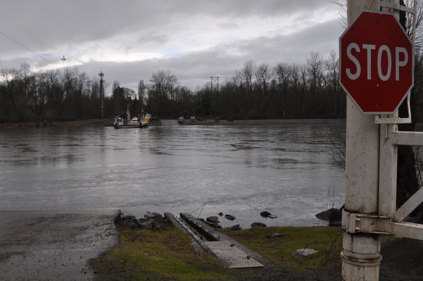
My wife gets some quick pictures of the crossing:
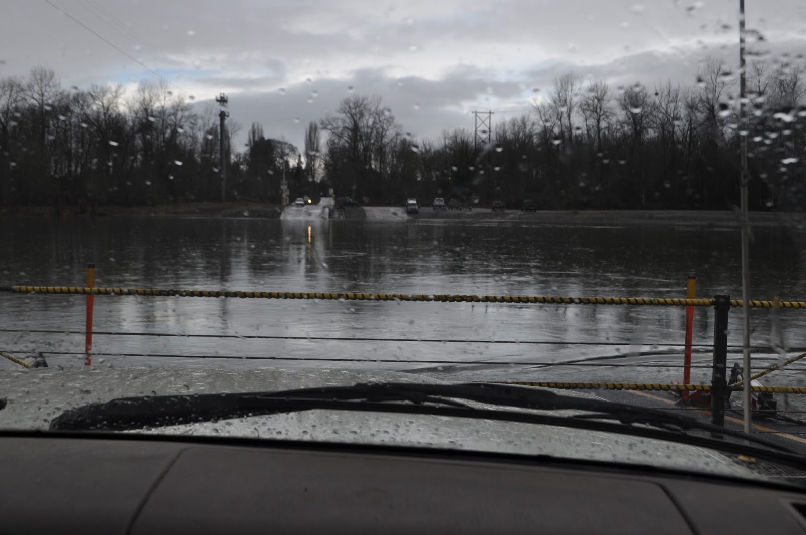
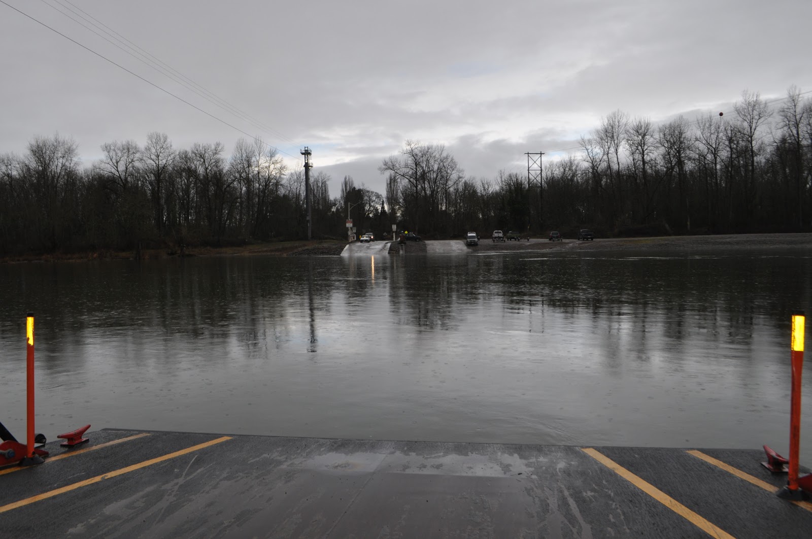
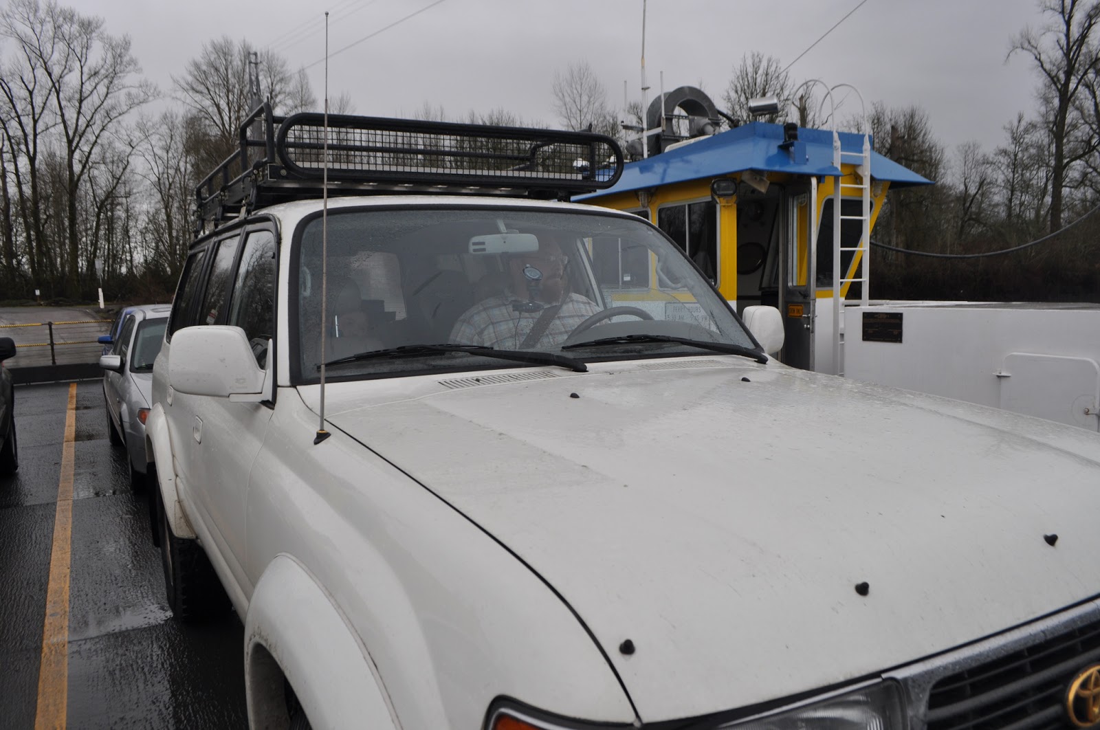
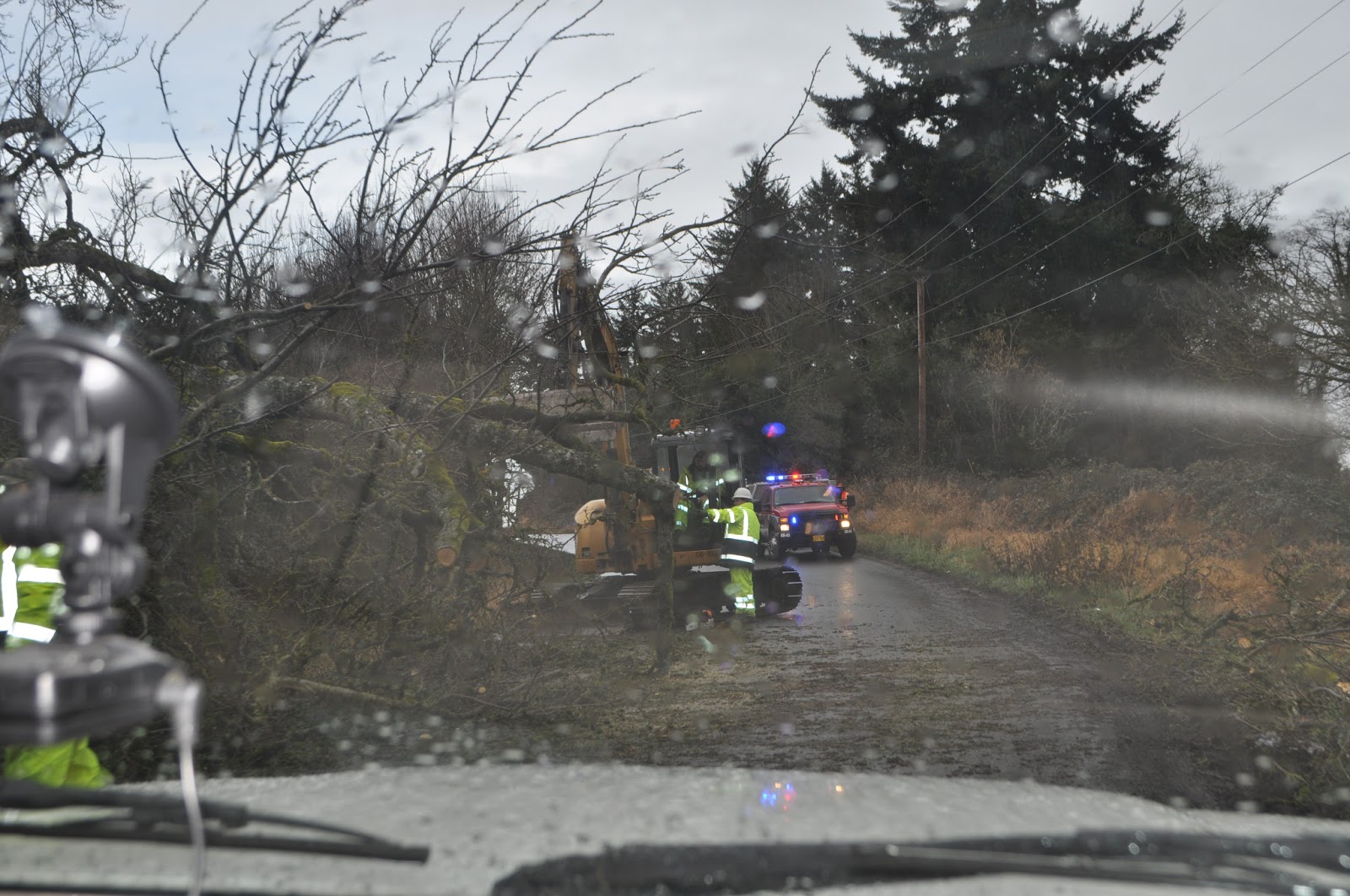
Less than a mile up the road on the west side of the Willamette, we encounter the local EMS crews removing a downed tree from the road:
We continue south and west, and were soon passing through Falls City, and once we crossed the Little Luckiamute river, we were on Valsetz Road.
Valsetz was a company logging town that operated under various owners until it was shut down and razed by Boise Cascade in '86. The site was planted with Douglas Fir, and it looks like the rest of the forest now. Some more pictures and info here: http://valsetz.homestead.com/
Valsetz Road is still pretty well traveled: we passed a Prius heading down on our way up.
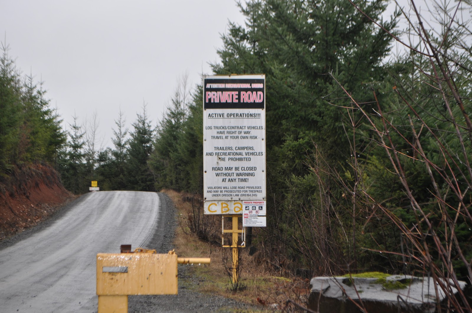
The road starts out on private land, with a big warning sign next to the open gate. After few miles, it enters public land, and then back onto private land, again with the big sign.
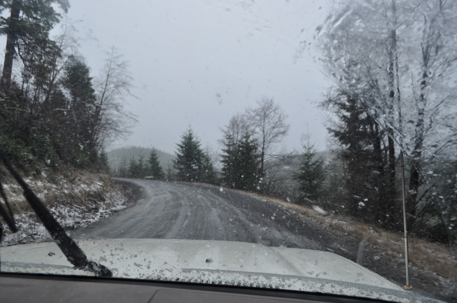
As we started to climb, the rain, which was just drizzling before, really started to come down. Soon, my wife and I noticed that the "rain" had chunks of snow in it.
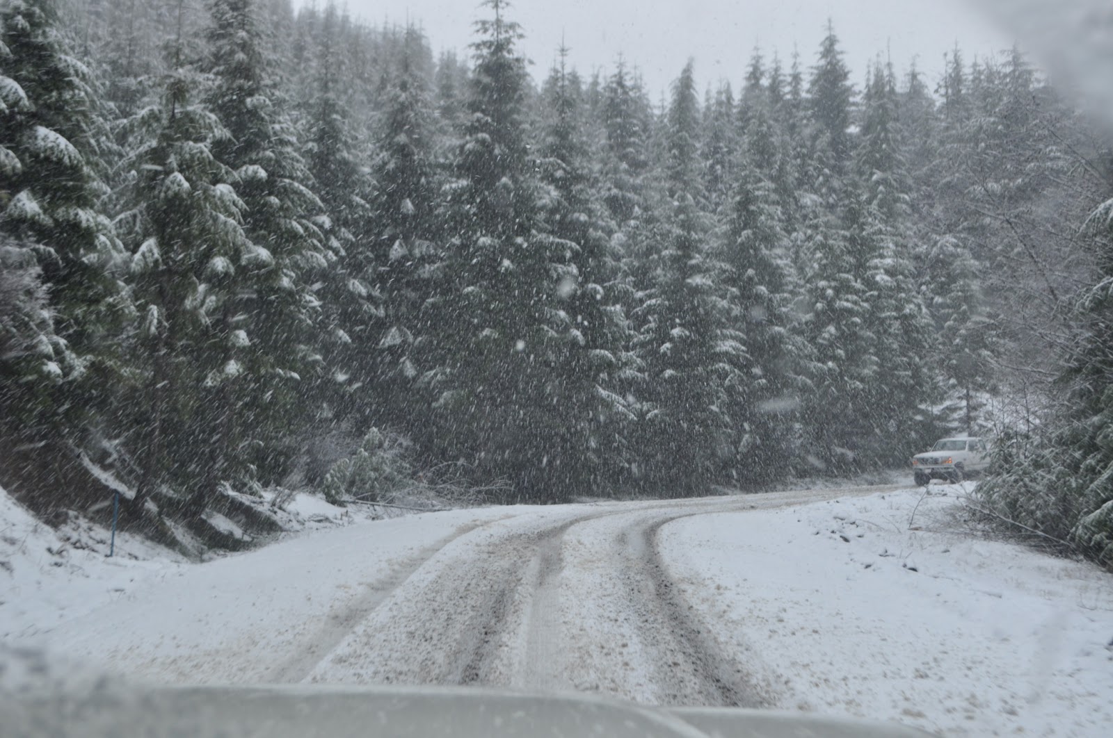
It wasn't long until pure snow was falling.
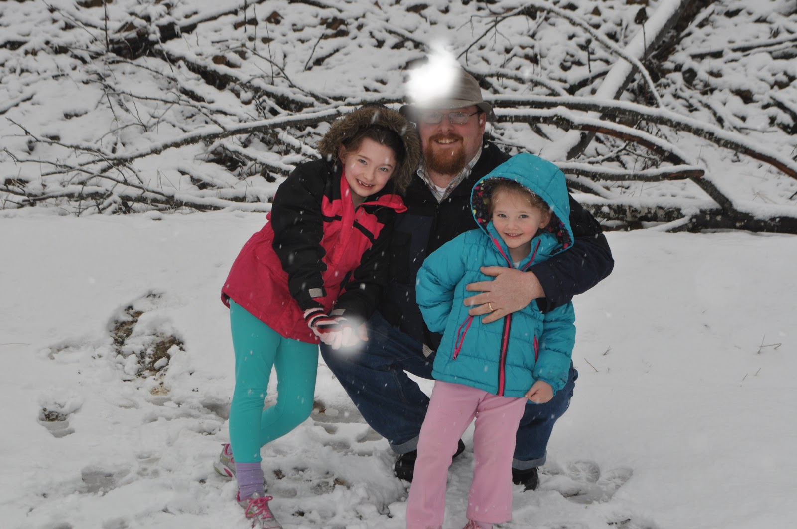
We stopped for snowballs and picture. My girls and I:
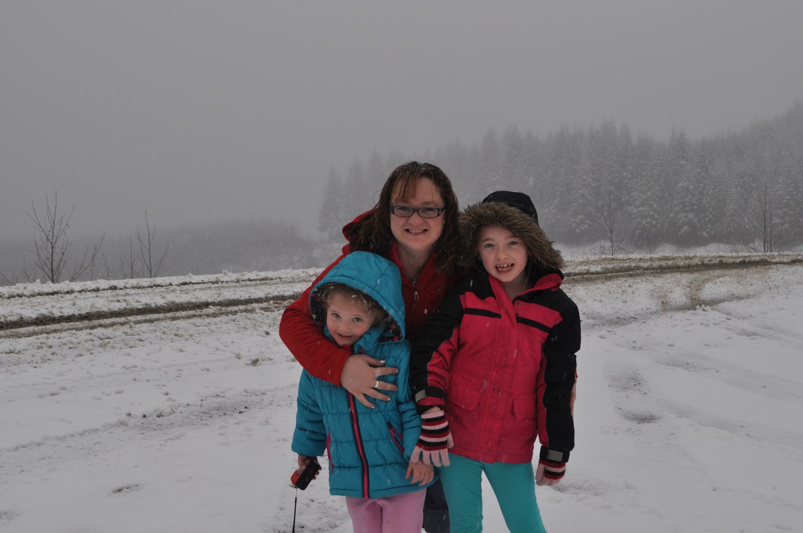
Wife and kiddos:
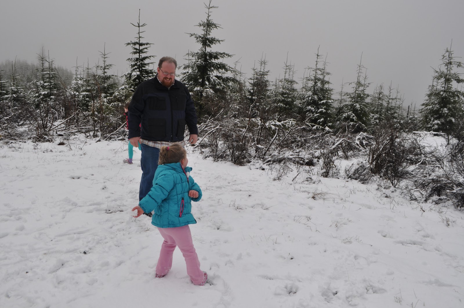
We pressed on to the 10 mile mark, (or so,) of Valsetz road, but could see no evidence of the old town site, and only learned later, (after getting on the computer here at home,) about the site being planted over.
We headed East through Monmouth, and ate lunch in Independence. We'd planned on taking the Buena Vista Ferry back to the other side of the Willamette, but it was closed, so we had to use a boring old bridge!
The girls had a good day. My oldest confessed to me, after we got back in the car from playing in the snow, "Dad, I thought this would be boring, but it's really fun."
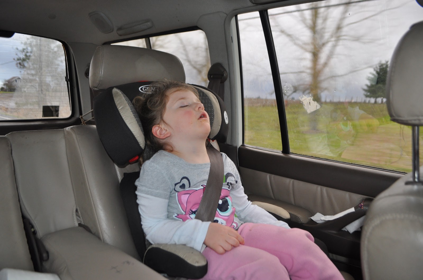
As we headed back to PDX on the super slab, the girls nodded off:

We got the Cruiser pretty dirty, but the rain/roadspray on I-5 cleaned most of the grime off.
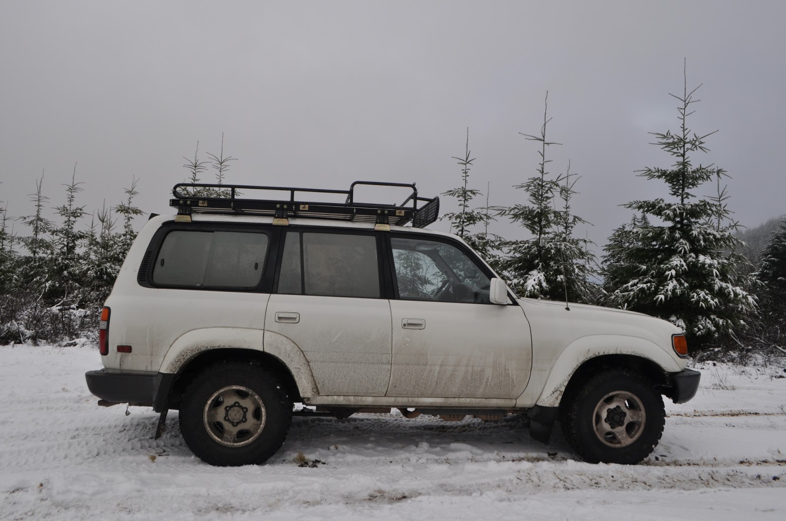
Someday, I'd like to pick our way through the Coast Range over to 101, but today was not the day. We turned around, and headed back for Falls City.
I'm really looking forward to going on some of the other drives in Oregon Byways.
Since we Oregonians are blessed with still having some ferries across the Willamette and Columbia, I try and cross them when I can. We head to the Wheatland Ferry. When we get there, it's on the other side of the Willamette, so we have a minute to relax. No one who's in a hurry should be taking a ferry, (at least not over the Willamette.)

My wife gets some quick pictures of the crossing:
Less than a mile up the road on the west side of the Willamette, we encounter the local EMS crews removing a downed tree from the road:
We continue south and west, and were soon passing through Falls City, and once we crossed the Little Luckiamute river, we were on Valsetz Road.
Valsetz was a company logging town that operated under various owners until it was shut down and razed by Boise Cascade in '86. The site was planted with Douglas Fir, and it looks like the rest of the forest now. Some more pictures and info here: http://valsetz.homestead.com/
Valsetz Road is still pretty well traveled: we passed a Prius heading down on our way up.
The road starts out on private land, with a big warning sign next to the open gate. After few miles, it enters public land, and then back onto private land, again with the big sign.
As we started to climb, the rain, which was just drizzling before, really started to come down. Soon, my wife and I noticed that the "rain" had chunks of snow in it.
It wasn't long until pure snow was falling.
We stopped for snowballs and picture. My girls and I:
Wife and kiddos:
We pressed on to the 10 mile mark, (or so,) of Valsetz road, but could see no evidence of the old town site, and only learned later, (after getting on the computer here at home,) about the site being planted over.
We headed East through Monmouth, and ate lunch in Independence. We'd planned on taking the Buena Vista Ferry back to the other side of the Willamette, but it was closed, so we had to use a boring old bridge!
The girls had a good day. My oldest confessed to me, after we got back in the car from playing in the snow, "Dad, I thought this would be boring, but it's really fun."
As we headed back to PDX on the super slab, the girls nodded off:
We got the Cruiser pretty dirty, but the rain/roadspray on I-5 cleaned most of the grime off.
Someday, I'd like to pick our way through the Coast Range over to 101, but today was not the day. We turned around, and headed back for Falls City.
I'm really looking forward to going on some of the other drives in Oregon Byways.
