You are using an out of date browser. It may not display this or other websites correctly.
You should upgrade or use an alternative browser.
You should upgrade or use an alternative browser.
OREIDAVADAH Adventure 2015
- Thread starter driver61
- Start date
Toy Man
Adventurer
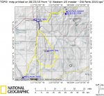
Maps - day one.
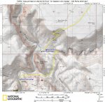
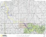
Pavement = red line. Dirt = yellow line.
Route overview
View attachment 290413
Silver City overview
View attachment 290414
Silver City closeup
View attachment 290415
Click on the images for expanded views.
Toy Man
Pavement = red line. Dirt = yellow line.
Route overview
View attachment 290413
Silver City overview
View attachment 290414
Silver City closeup
View attachment 290415
Click on the images for expanded views.
Toy Man
driver61
Adventurer
Day 3:
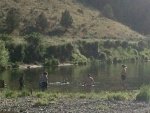
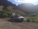
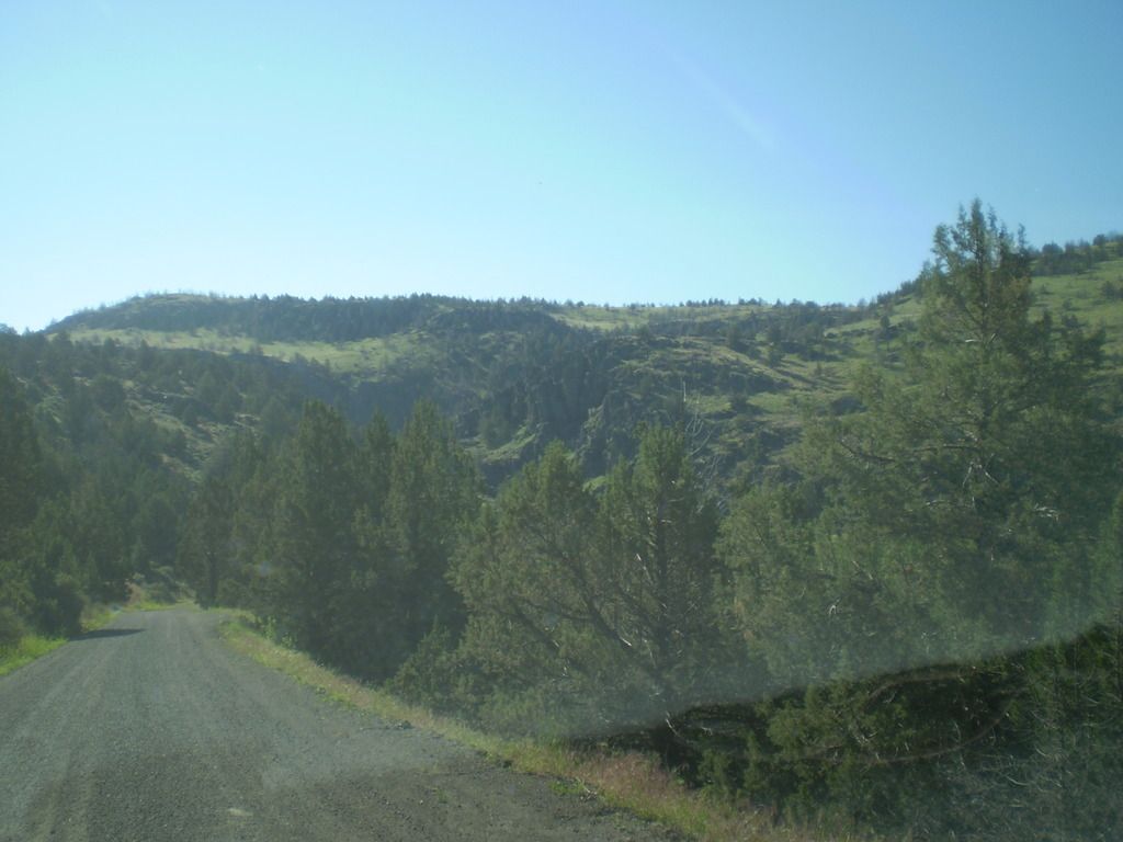
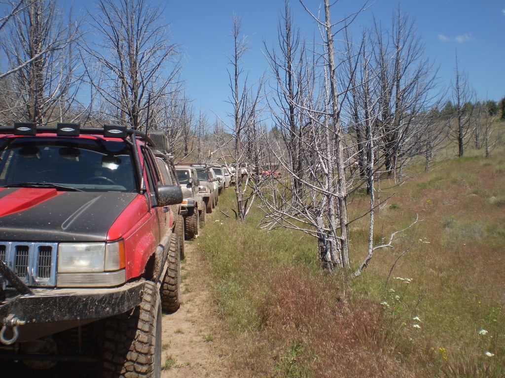
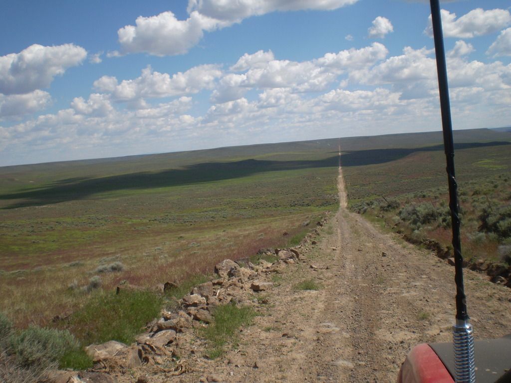
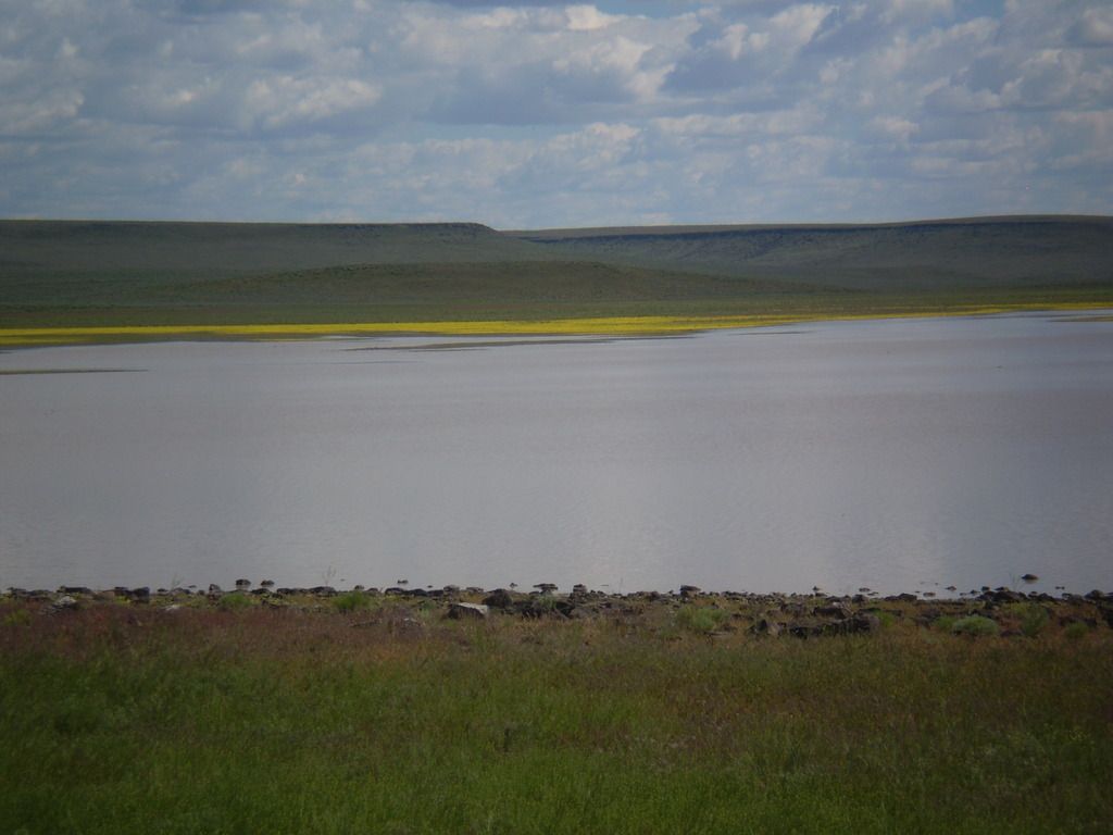
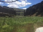
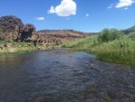
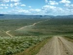
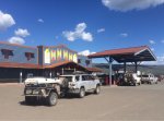
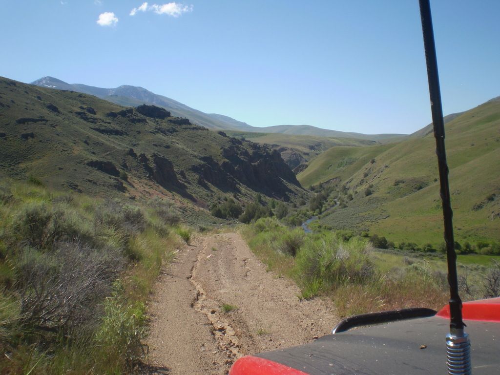
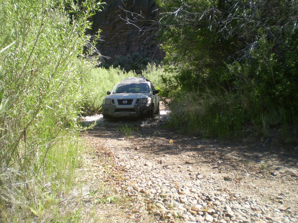
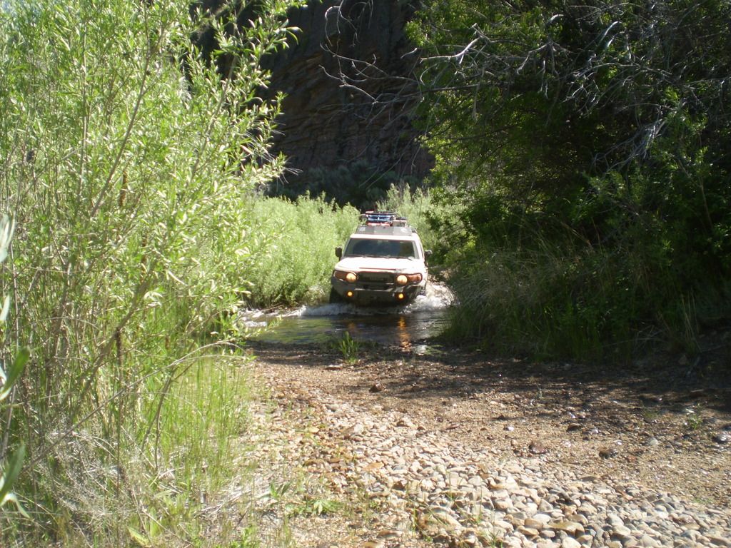
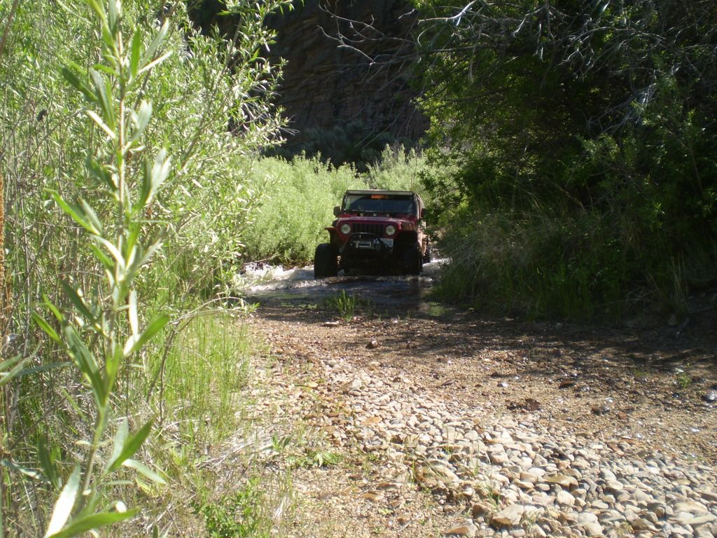
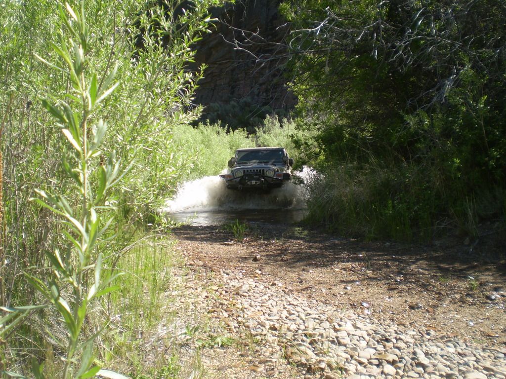
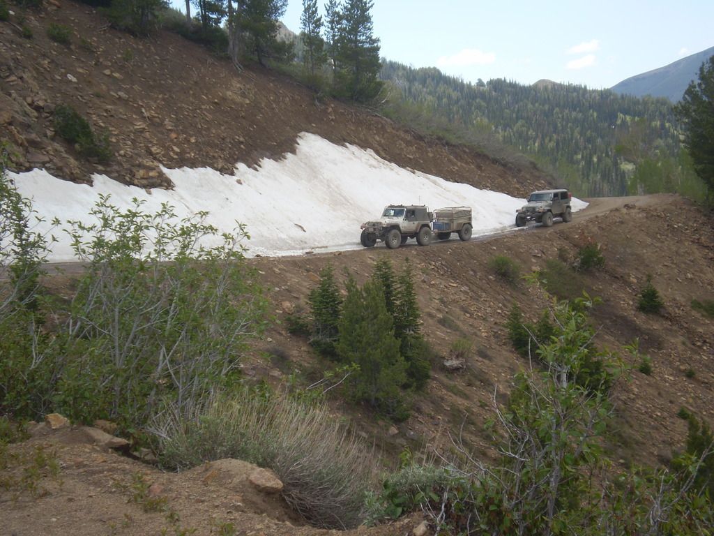
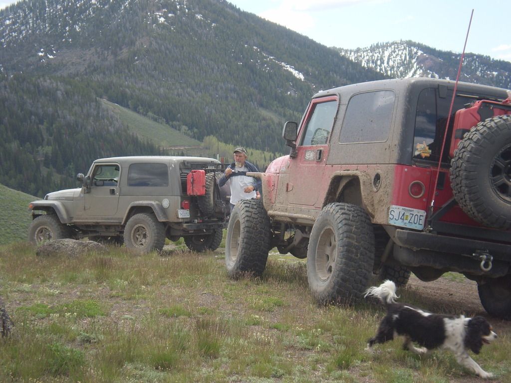
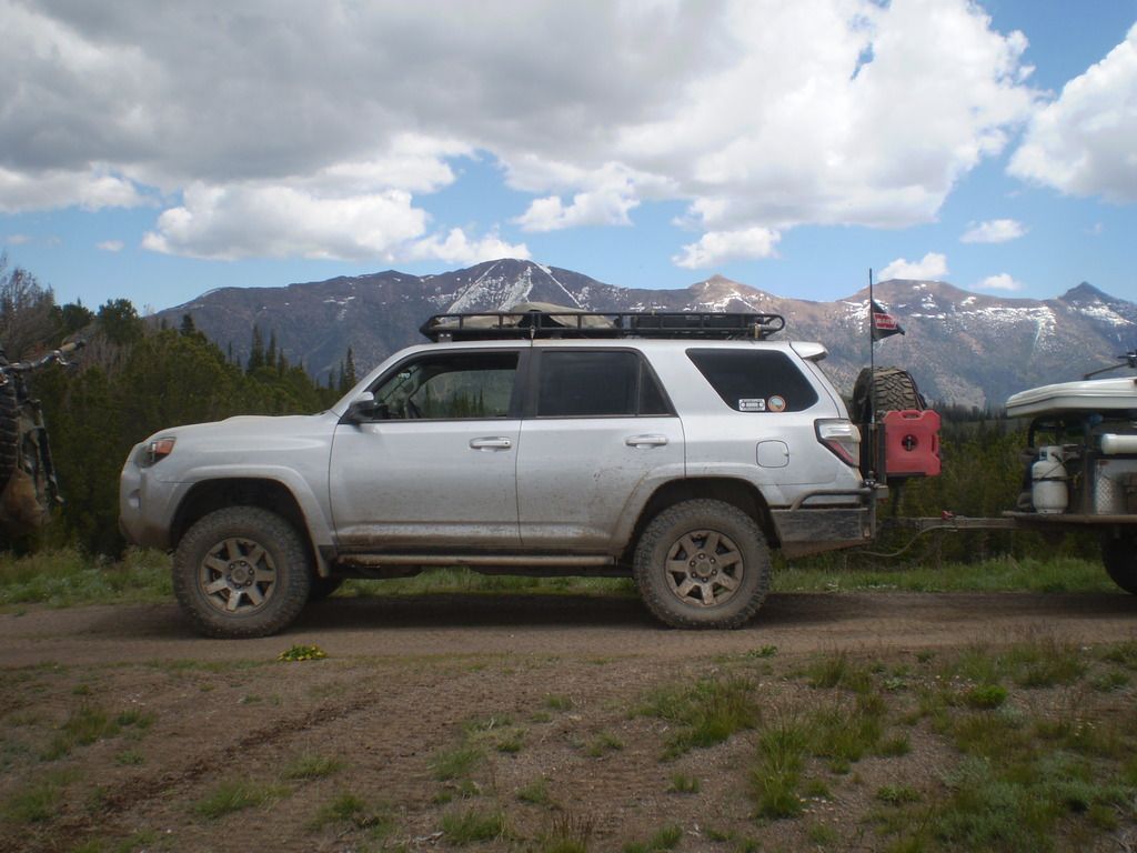
We woke up to another perfect day. If there was one thing no one would complain about, it was the weather...It was perfect the entire time. Today was set to be a big day in terms of miles. We would set out from 3-Forks and shoot for Big Bend Campground in Nevada. Some of this was going to be new territory for myself. We rolled out of camp at 8am and headed East... We were 5 minutes into it when we met our first obstacle, a locked gate. When you're in Canyon Country, there are only so many ways to get from point A-point B. So we had to back track, up the main canyon road, through the mud holes, and down Jupiter Mtn. Road till we met back up with the road we wanted...Once there, we said goodbye to Rich (had a golf tournament the following day), and pointed our rigs South toward Bull Basin and Crutcher's Crossing. The trail to Bull Basin was amongst a lush jupiter forest and eventually opened up to a wide open plain before it dropped back into a canyon and into Crutcher's. The river at the bottom was a welcome sight and after crossing it, we set up for lunch a long the banks. The next part was the part I was most nervous about on this whole trip. Having never pre run this section, I knew the climb out would be steep and rarely traveled. It didn't disappoint...But, we all made it out unscathed. Crutcher's was the highlight of the day...Once on top, it was a lot of high speed dirt road to the town of Owyhee, NV. We all fueled and iced up and made our way to camp by 7pm. It was a long day with a lot of dirt miles. I know ******** had been looking forward to seeing Crutcher's for many years, and he personally thanked me for helping him make it happen. It was all I needed to reaffirm that I was sharing this trip with the right people. I broke the eye off one of my shocks on my trailer, and Randy broke out the welder that night and fixed it...It survived the rest of the trip. Thanks,Randy.
Now Pictures...
Toy Man
Adventurer
Low res dash cam video's of Crutcher's Crossing.
Dropping down into Crutcher's Crossing.
[video=vimeo;131477362]https://vimeo.com/131477362[/video]
Finding the crossing.
[video=vimeo;131486209]https://vimeo.com/131486209[/video]
Crossing the Owyhee.
[video=vimeo;131493878]https://vimeo.com/131493878[/video]
Climbing out - 1.
[video=vimeo;131486157]https://vimeo.com/131486157[/video]
Climbing out -2.
[video=vimeo;131486139]https://vimeo.com/131486139[/video]
******** - Toy Man
Last edited:
driver61
Adventurer
Day 4:
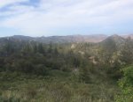
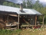
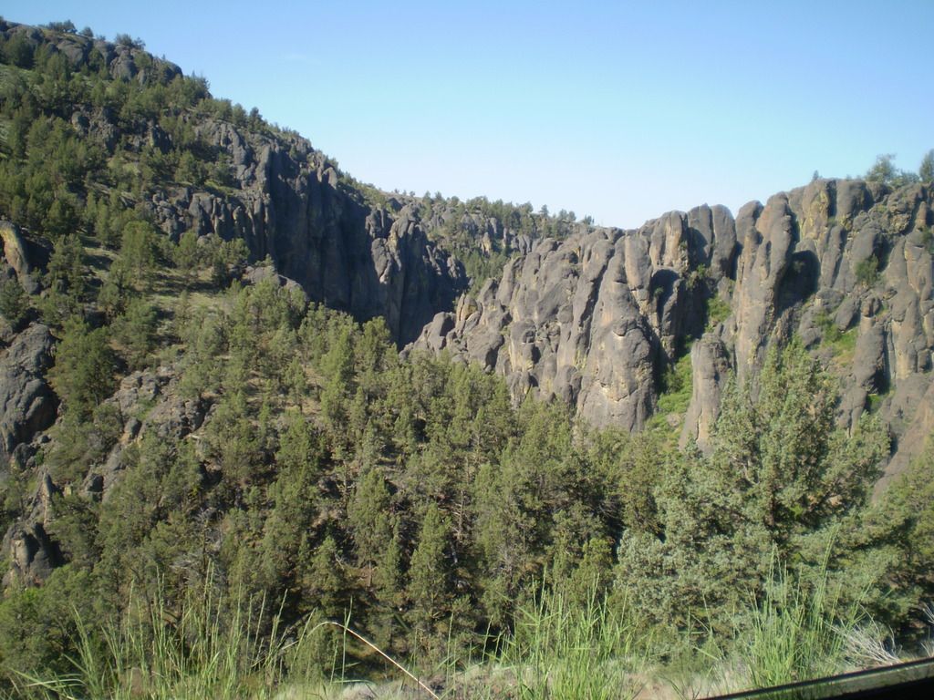
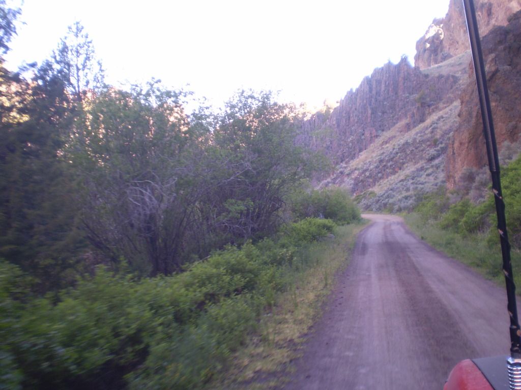
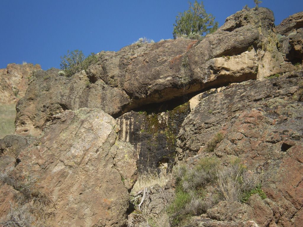
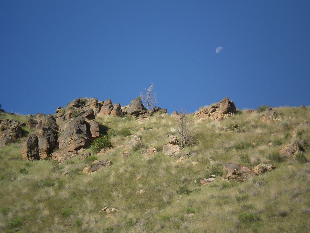
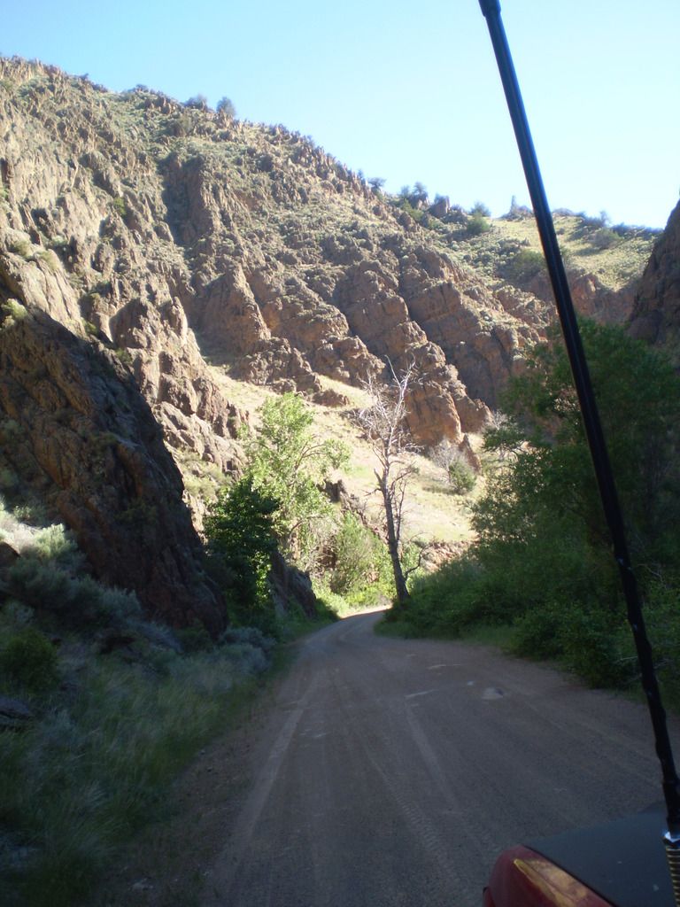
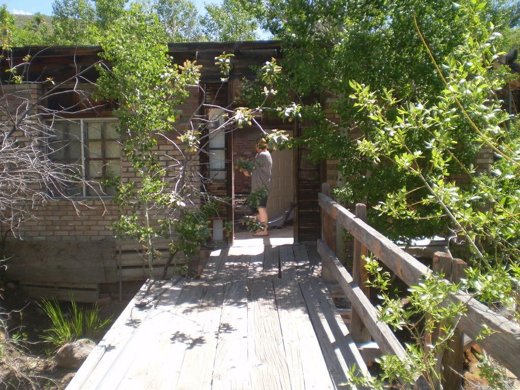
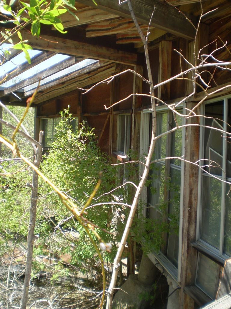
This day was one of my personal favorites. We were loaded up and ready before 8am again, and set out from Big Bend with Robinson Hole as a final destination for the night. Headed out of camp we were treated to a beautiful drive through some steep canyon walls and lots of green brush and trees. After a few miles down the road, we opted to follow the Bruneau River to the Charleston Site. This turned out to be a fun road with a lot of water crossings, more mud, a hot spring and more great views. Coming into Charleston, we were greeted by a herd of horses that was eager for some human attention. They came running across the field at full speed to see us. It was quite the scene... After spending some time with the horses, we parted ways with Toy Man. He was headed back toward Oregon and wanted to visit a WWII plane crash site. We made a quick stop at an old Bath House / Hotel? Then cruised over Coon Creek Summit and back down the other side into Jarbidge. We all gassed up, ate up, and a few of us barred up...:beer: We spent a few hours exploring town and regrouped...The next part is where it got fun. I was told by a few, that this might have been a little more extreme than they would normally do, but I think everyone really had fun... The trail from Jarbidge-Robinson Hole is what I call steep and Deep. It isn't for the faint of heart, but the experience is priceless. LETS POST PICTURES !
This day was one of my personal favorites. We were loaded up and ready before 8am again, and set out from Big Bend with Robinson Hole as a final destination for the night. Headed out of camp we were treated to a beautiful drive through some steep canyon walls and lots of green brush and trees. After a few miles down the road, we opted to follow the Bruneau River to the Charleston Site. This turned out to be a fun road with a lot of water crossings, more mud, a hot spring and more great views. Coming into Charleston, we were greeted by a herd of horses that was eager for some human attention. They came running across the field at full speed to see us. It was quite the scene... After spending some time with the horses, we parted ways with Toy Man. He was headed back toward Oregon and wanted to visit a WWII plane crash site. We made a quick stop at an old Bath House / Hotel? Then cruised over Coon Creek Summit and back down the other side into Jarbidge. We all gassed up, ate up, and a few of us barred up...:beer: We spent a few hours exploring town and regrouped...The next part is where it got fun. I was told by a few, that this might have been a little more extreme than they would normally do, but I think everyone really had fun... The trail from Jarbidge-Robinson Hole is what I call steep and Deep. It isn't for the faint of heart, but the experience is priceless. LETS POST PICTURES !
Ace Brown
Retired Ol’ Fart
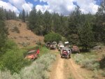
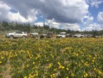
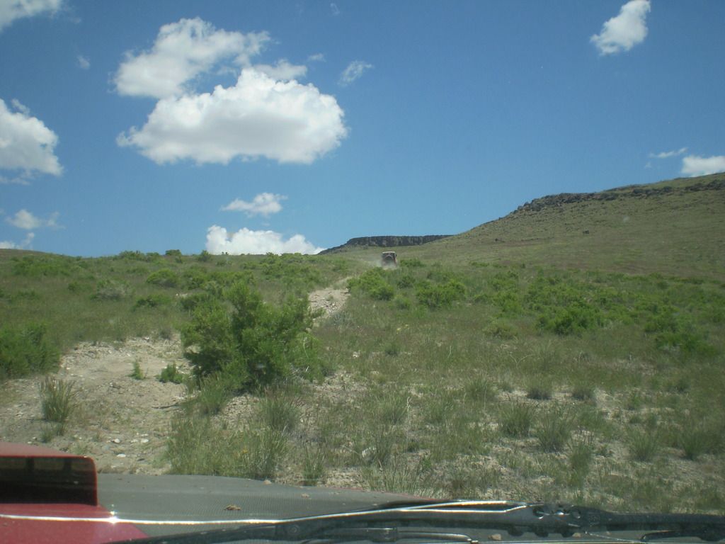
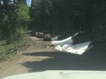
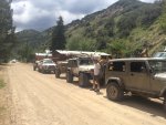
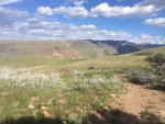
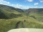
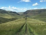
Few from Day 4. Robinsons Hole was pretty much as Brett described. If there was an option I might have skipped it, but I took on the challenge and glad I whupped it. I would never do that alone. The descent was so steep we hooked trailers to the rig behind. I declined that figuring my trailer brakes would handle the steep, rough and looong hill. Only at the bottom was I reminded that my brakes weren't working due to a faulty trailer plug. My pictures were taken from the drivers seat and don't even come close to showing how steep this hill is. There is an infamous hill in CO called Red Cone. It is considered quite dangerous and has claimed a few lives. I believe RH is steeper and much longer.



Similar threads
- Replies
- 2
- Views
- 885
- Replies
- 2
- Views
- 827
- Replies
- 13
- Views
- 3K

