I threatened to do this trip on here a couple of months ago, and much to my surprise I pulled it off and lived to tell!
The motivation to do this trip stemmed from not having seen my brother in about 4 years. He lives in Crested Butte CO and I, in southern NH. Wanting to do more than just fly over and hang out, I decided to load up the toyota and do it right. In fact, the more I got excited about driving out there, the more stops on the trip I planned for!
Places that made the list:
Adirondacks
Ontario, CA
UP Michigan and Pictured Rocks National Lakeshore
Badlands NP, Custer State Park, Wind Cave NP, Mount Rushmore
Crested Butte, Ouray, Telluride, CO
Mesa Verde NP
Canyonlands NP (needles district), Arches NP, Moab, UT
SLC, UT
Sacramento, CA
The Rubicon
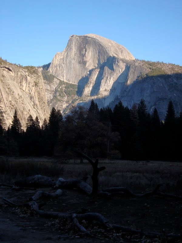
Yosemite NP, Sequoia NP, Mojave NP
Phoenix, AZ
Sedona, AZ
Back to Moab, UT:wings:
Back to CB, CO
Then the long drive home via the superslab....
Now for the "expo" portion of the trip. Here is a list of the roads and must see places I got to drive:
Grand Marais Rd. (Michigan UP)
Sage Creek Rim Rd. to Rt 2 through Pine Ridge Reservation (Badlands NP)
Cottonwood Pass (Buena Vista to CB, CO)
Rode dirt bikes up toward Pearl Pass, CO:bike_rider:
Last Dollar RD (Ridgway, CO to Telluride, CO)
Whisker Draw Rd (Manti-La Sal NF)
Salt Flat Valley RD (Arches NP) note: had to turn around as it got dark
Fins 'N Things (Moab, UT)
White Rim Trail (Canyonlands, Island in the Sky) note: camped at "Murphy B"
Bonneville Salt Flats (UT) note: heavily laden tacoma still managed 102 mph!
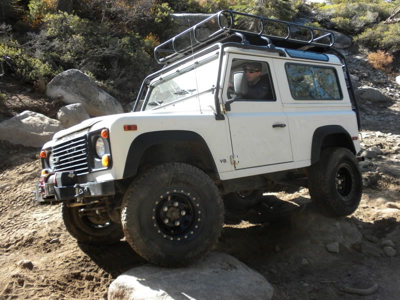
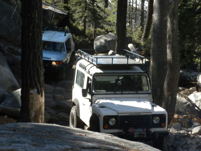
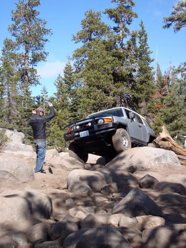
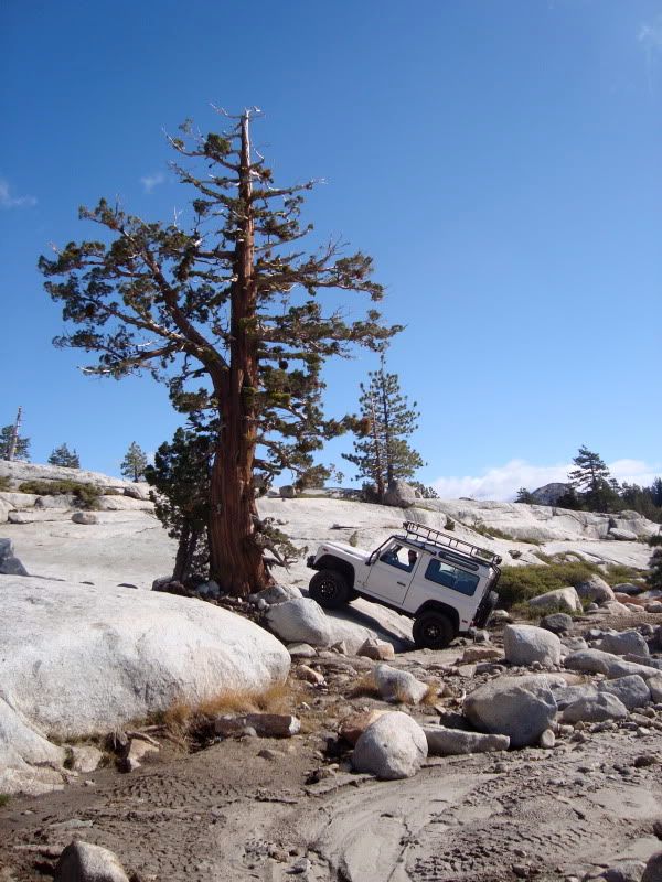
The Rubicon trail (Tahoe area) note: used borrowed vehicles, made it
beyond the Granite Bowl then turned around.
Mojave RD (mojave NP) only did a few miles of it as it was difficult to find without a map!
Soldier's Pass Rd (Sedona AZ)
Schnebly Hill RD (Sedona AZ)
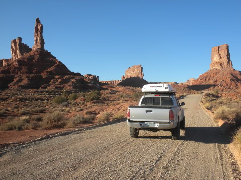
Valley of the Gods (UT)
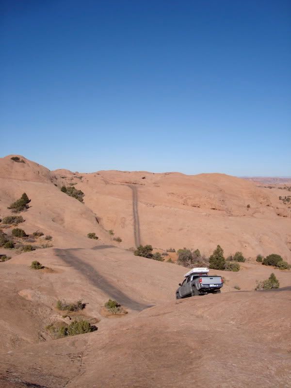
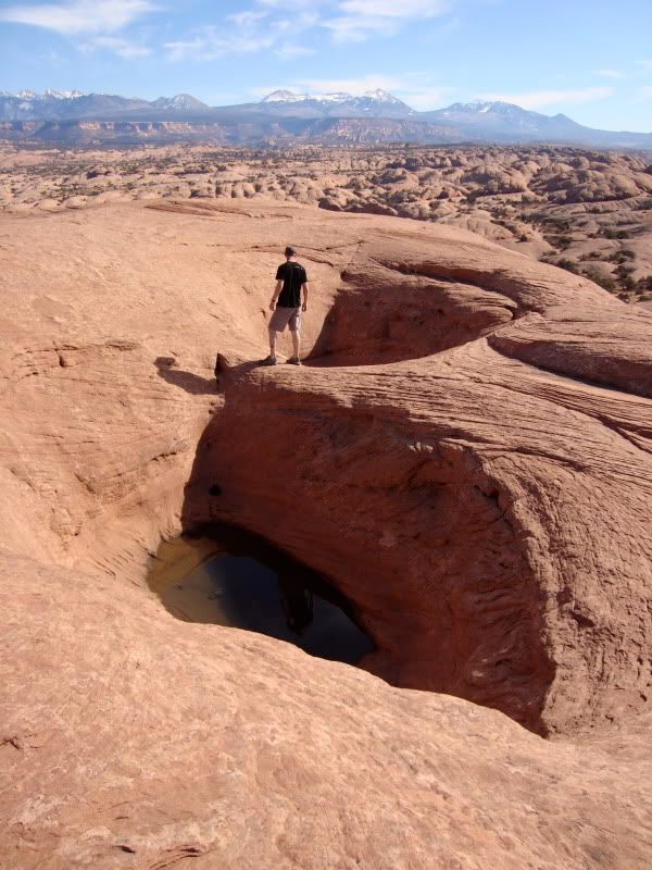
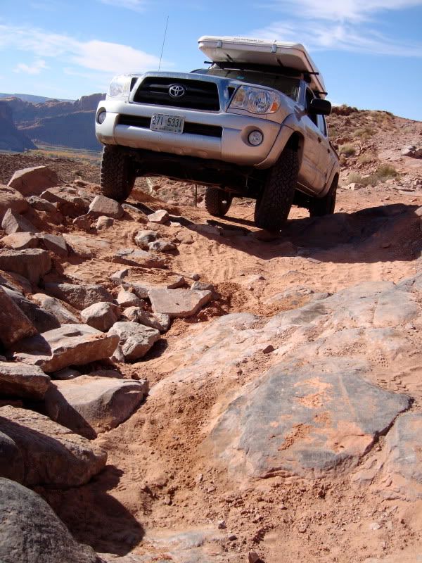
Hell's Revenge (Moab UT)
I'm sure there are a few that I left off, but those were the highlights for sure! All in, this trip took me from 10/12 - 11/9 to complete. I covered about 9400 miles. My truck got anywhere from 13.98 mpg up to 20.25 mpg per tank.
Thanks to this site and it's contributors for helping to inspire me to make this trip! If there are any q's I'd be happy to answer them. Please enjoy some photos!
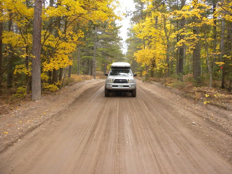
Grand Marais RD, Michigan
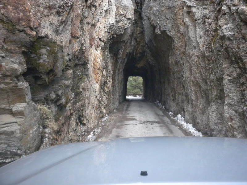
Needles HWY, SD
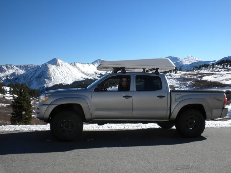
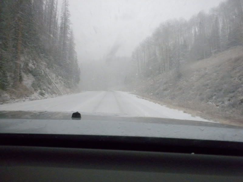
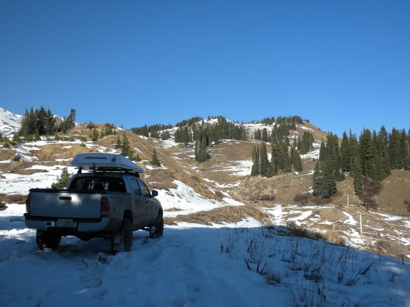
Near Cottonwood Pass, CO
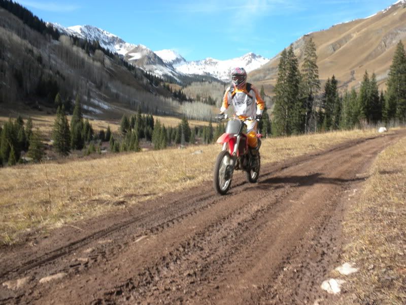
Near Pearl Pass outside of Crested Butte, CO
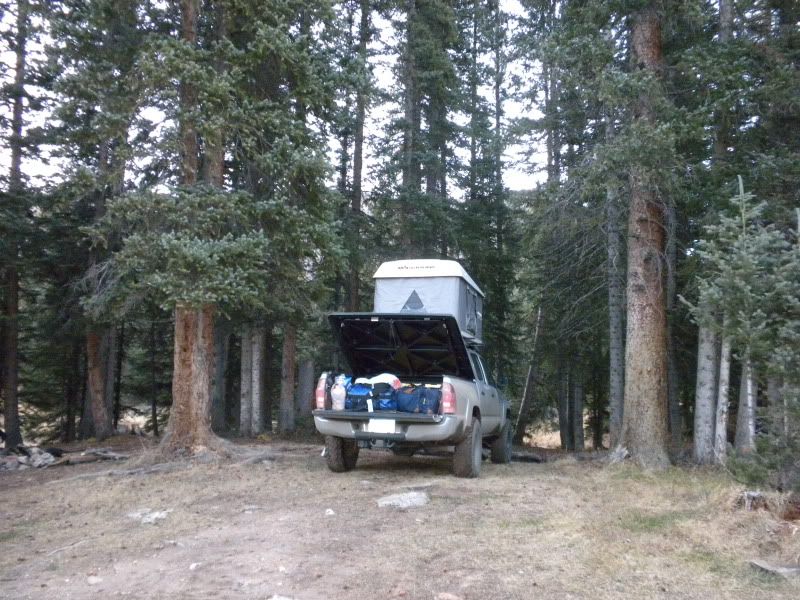
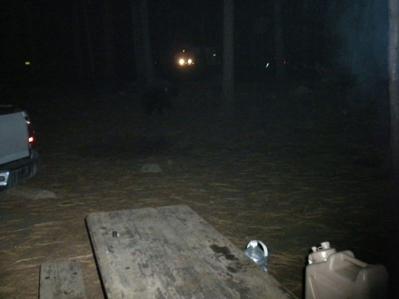
Campsite near Telluride
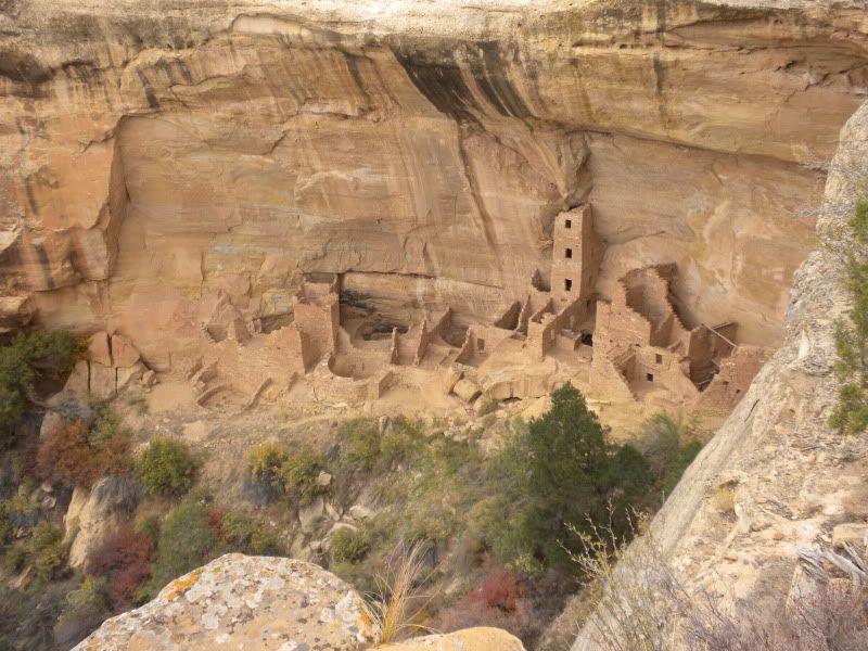
Mesa Verde NP
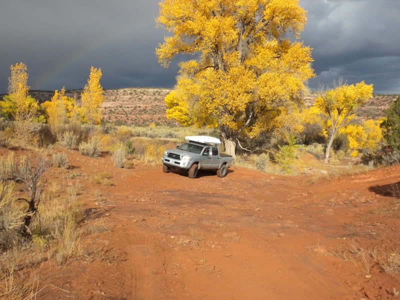
Whisker Draw Rd.
Fins N Things, Moab

I have hundreds of photos, so as I come up with some more highlights I'll post em up!
The motivation to do this trip stemmed from not having seen my brother in about 4 years. He lives in Crested Butte CO and I, in southern NH. Wanting to do more than just fly over and hang out, I decided to load up the toyota and do it right. In fact, the more I got excited about driving out there, the more stops on the trip I planned for!
Places that made the list:
Adirondacks
Ontario, CA
UP Michigan and Pictured Rocks National Lakeshore
Badlands NP, Custer State Park, Wind Cave NP, Mount Rushmore
Crested Butte, Ouray, Telluride, CO
Mesa Verde NP
Canyonlands NP (needles district), Arches NP, Moab, UT
SLC, UT
Sacramento, CA
The Rubicon
Yosemite NP, Sequoia NP, Mojave NP
Phoenix, AZ
Sedona, AZ
Back to Moab, UT:wings:
Back to CB, CO
Then the long drive home via the superslab....
Now for the "expo" portion of the trip. Here is a list of the roads and must see places I got to drive:
Grand Marais Rd. (Michigan UP)
Sage Creek Rim Rd. to Rt 2 through Pine Ridge Reservation (Badlands NP)
Cottonwood Pass (Buena Vista to CB, CO)
Rode dirt bikes up toward Pearl Pass, CO:bike_rider:
Last Dollar RD (Ridgway, CO to Telluride, CO)
Whisker Draw Rd (Manti-La Sal NF)
Salt Flat Valley RD (Arches NP) note: had to turn around as it got dark
Fins 'N Things (Moab, UT)
White Rim Trail (Canyonlands, Island in the Sky) note: camped at "Murphy B"
Bonneville Salt Flats (UT) note: heavily laden tacoma still managed 102 mph!
The Rubicon trail (Tahoe area) note: used borrowed vehicles, made it
beyond the Granite Bowl then turned around.
Mojave RD (mojave NP) only did a few miles of it as it was difficult to find without a map!
Soldier's Pass Rd (Sedona AZ)
Schnebly Hill RD (Sedona AZ)
Valley of the Gods (UT)
Hell's Revenge (Moab UT)
I'm sure there are a few that I left off, but those were the highlights for sure! All in, this trip took me from 10/12 - 11/9 to complete. I covered about 9400 miles. My truck got anywhere from 13.98 mpg up to 20.25 mpg per tank.
Thanks to this site and it's contributors for helping to inspire me to make this trip! If there are any q's I'd be happy to answer them. Please enjoy some photos!
Grand Marais RD, Michigan
Needles HWY, SD
Near Cottonwood Pass, CO
Near Pearl Pass outside of Crested Butte, CO
Campsite near Telluride
Mesa Verde NP
Whisker Draw Rd.
Fins N Things, Moab
I have hundreds of photos, so as I come up with some more highlights I'll post em up!


")