Ozark Natty Forest, 12.31.09

So my better half and I took off to play on the last day of the year. The trip also served as a sort of a 'route recon' for a ExPo Central Region members' trip I'm thinking of putting together for this spring. Well, the day served both purposes beautifully: fun and a little bit adventurous from all the mud and water crossings, plus confirmed what I'd hoped to find from previous aeriel and topo surveys.

Oh, and the dogs had a blast, too.

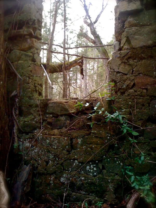
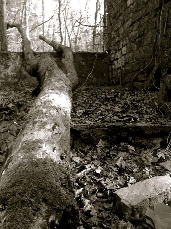
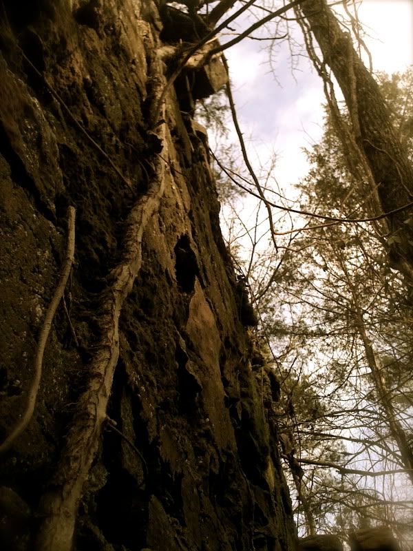
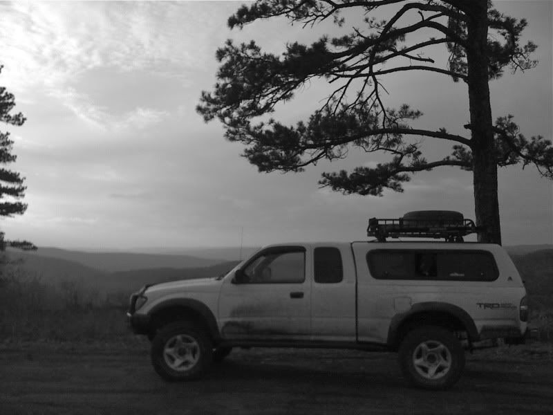
All of the photos below, unless otherwise indicated, are within the Illinois Bayou watershed in Pope County, AR. Enjoy!


IMG_2046.jpg

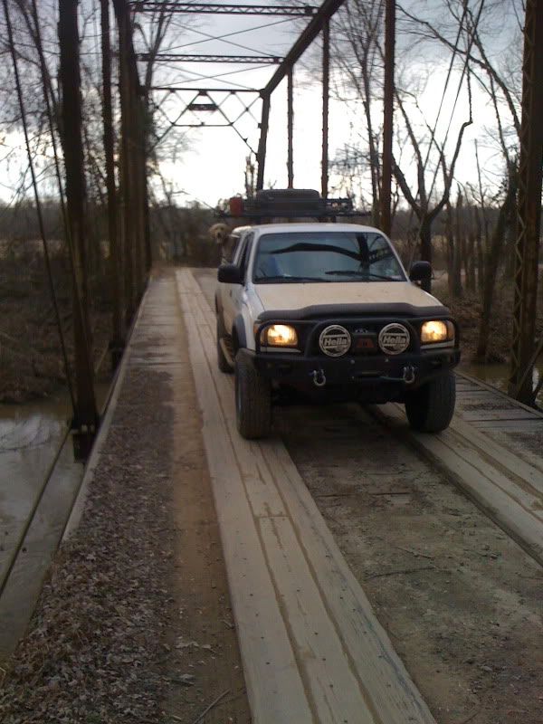
Old iron bridge along the road out.
Point Remove River, Conway County, AR


IMG_2053.jpg

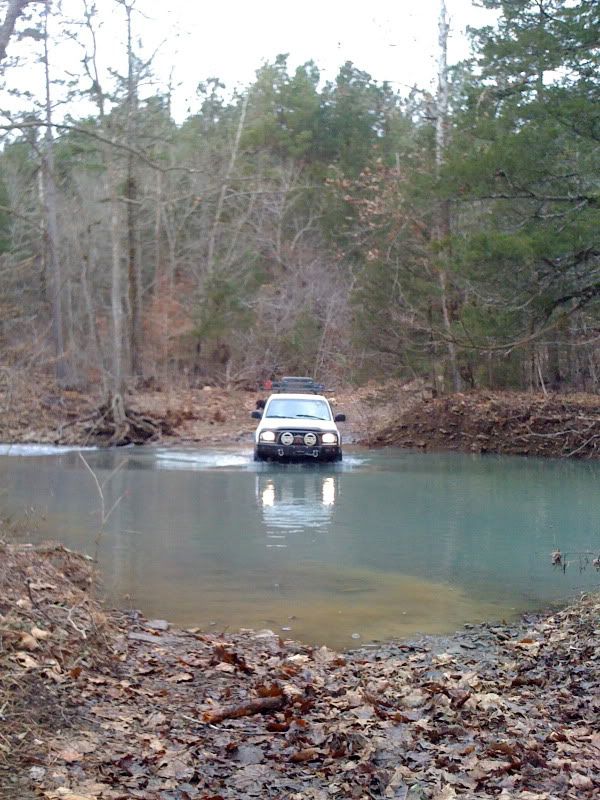
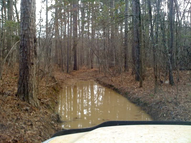
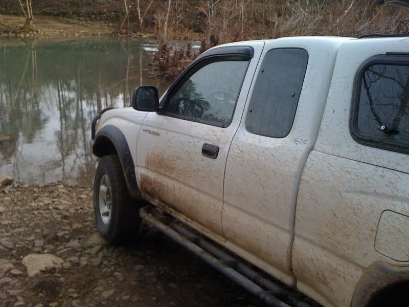
The first of seven moderate water crossings for the day.
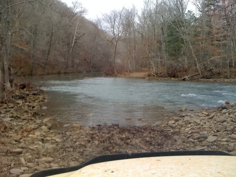
Illinois Bayou watershed, Pope County, AR


IMG_2058.jpg


IMG_2074.jpg

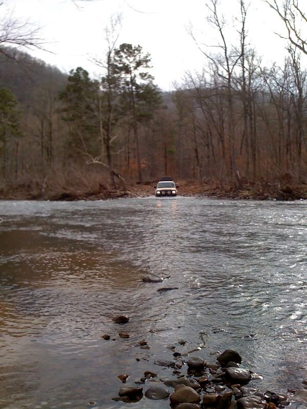
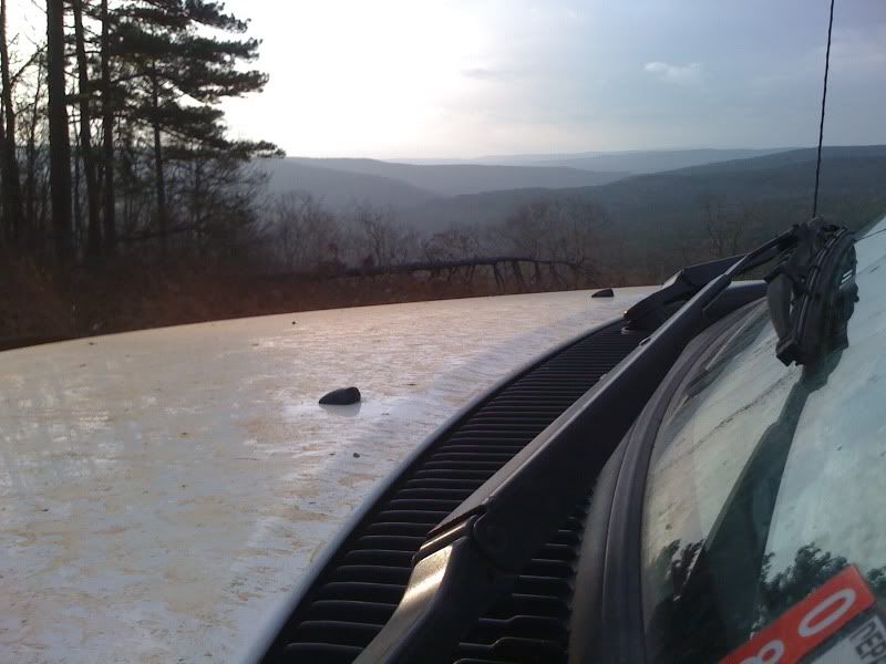
Arkansas received a record annual rainfall for 2009, exceeding 76"+ for a total. The record was broken over the Christmas holiday
after a two-day event which dumped several inches. Needless to say, every river in the region is flowing nicely.


IMG_2061.jpg

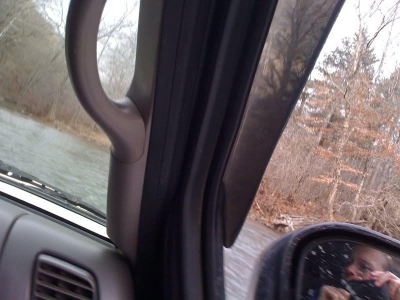
If you look closely at her expression, you can see how excited she was to be staring at a Taco-made bow wake on a few of the deeper crossings. :)
(Still haven't convinced her to drive one yet... but she'll be there soon.)


IMG_2076.jpg


IMG_2078.jpg

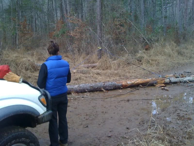
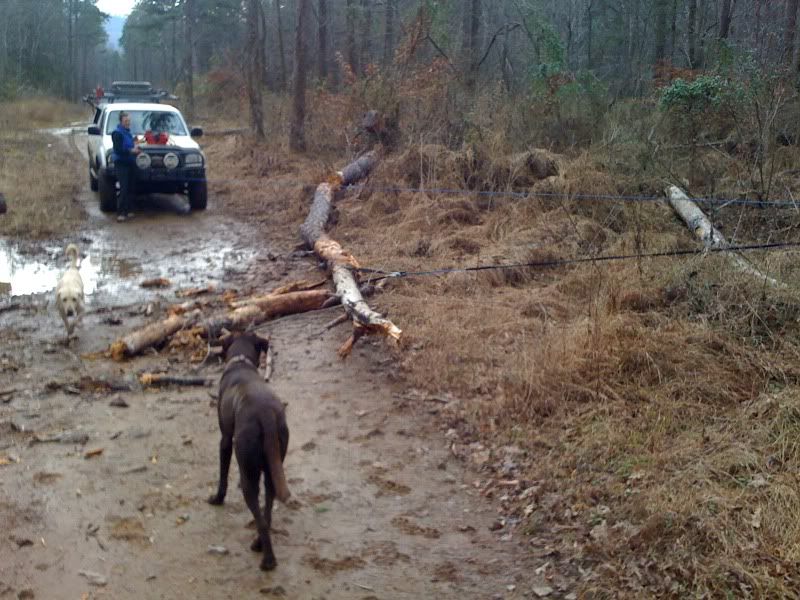
Winching/Trail Maintenance 101: removing a fallen pine tree from the road.
She did an incredible job at the controls, btw.

 
Ozark Natty Forest, 12.31.09 (cont.)


IMG_2087.jpg


IMG_2091.jpg


IMG_2092.jpg

Found what we think is an old schoolhouse buried deep in a hollow in the headwaters area of the Middle Fork.


IMG_2109.jpg

Where there's water, there's inevitably mud. IH8MUD.


IMG_2111.jpg

Final crossing of the day.


IMG_2115.jpg


IMG_2117.jpg

Back up on the high road nearing sunset. Great way to finish a wonderful day in the woods.


Regarding the short trip I'm thinking of putting together, I'll be posting up info in the Central States forum of ExPo very soon. It will cover some of this ground, plus other favorite areas of mine. Please stay tuned over there if you're interested in a weekend pass through the Ouachita/Ozarks of Arkansas. Thanks!
 
Need more details so to follow in footsteps.

HA! So sorry, brother, but I am not one to tell others exactly where to go. Not only do I believe in discovering a path for oneself, but along the way you might find things more amazing than I did. Explore, not follow kind of a thing. No hard feelings, please!

That said, I do offer you the "Illinois Bayou watershed" and "northern Pope County." That, combined with a little research on topo maps and Google aerials, and you should have no problem retracing our steps! :)

...or, you could just tag along with the group run in late-March! (Details to come soon.)
 
They were nothing extreme (like Wil does for fun :Wow1: ) by any accounts, but enough for my comfort considering I'm not totally modified for deep water. The deepest they ever got was in the 12-24".

Thats interesting considering the high levels of rain recently.... of course, I dont know the normal level of those rivers. But, i've been to the Clarkesville area several times and enjoyed the river crossings up there....


I understand your mentality about not sharing tracks.... I'm super stingy that way myself. I've got a few hundred miles of offroad routes in Louisiana (Louisiana Outback Trail) and i've actually had people call me an ************ for not sharing the info I have.... which makes me hold on to them even more.
 

bomar

Adventurer
HA! So sorry, brother, but I am not one to tell others exactly where to go. Not only do I believe in discovering a path for oneself, but along the way you might find things more amazing than I did. Explore, not follow kind of a thing. No hard feelings, please!

That said, I do offer you the "Illinois Bayou watershed" and "northern Pope County." That, combined with a little research on topo maps and Google aerials, and you should have no problem retracing our steps! :)

...or, you could just tag along with the group run in late-March! (Details to come soon.)

I understand just trying to plan something to have fun with the wife the issue being 3 to 5 hours away to begin with sucks. It there places to setup camp pretty easy within the areas?

the group run sounds great if it is not the weekend of wheelin at Round up.
 
Thanks for the understanding bomar.

As far as coming in to cruise the Ozarks and camp, almost everything is gorgeous and public. Just drive around Forest Service dirt roads and trails and find cool stuff to admire and love it all, then when you get tired of driving around, simply find a little dirt trace or a clearing and pull over and rack out. Really, I've been hanging up here my whole life and it really is just that easy! :D There are very few USFS established campgrounds in Arkansas. It's very big here and very undeveloped. More like camping on BLM land out west than USFS land back east: wide open for the taking, and very few people around. (I'd suggest avoiding November, though, for all the deer hunters. Good folks, just gets crowded.)

What weekend is the "round up" you speak of? Is that a regional event? I'd like more info, please! Thanks!
 
Thats interesting considering the high levels of rain recently.... of course, I dont know the normal level of those rivers.

Yeah, I'm thinking the USFS probably came through and gauged and re-graded these crossings on this particular road sometime in 2009. They were broad and evenly shallow, and mostly smooth river rock. Just very "consistent" depths at each.

But I saw PLENTY of evidence all the way up the hollow of some major flooding which had been going on recently... HUGE washouts and big trees down and wrapped around other big trees! But by yesterday, things had settled back down.

(Would love to know more about Louisiana, btw. Any web source you could recommend? Thx.)
 
The bridge in the first photo in this thread collapsed today when a large commercial truck caused catastrophic damage to the 120 year old structure.

Local story.

What a waste. Hate to see these glimpes into the past go in this way.

:(
 

Mr. Leary

Glamping Excursionaire
The bridge in the first photo in this thread collapsed today when a large commercial truck caused catastrophic damage to the 120 year old structure.

Local story.

What a waste. Hate to see these glimpes into the past go in this way.

:(

The same bridge that we crossed over on the Fall Foliage Trip?
 
The same bridge that we crossed over on the Fall Foliage Trip?


Don't know. I wasn't on the portion of the route, but I doubt it. This one is north of Morrilton in farming areas, and don't think the FF trip went through the area.

But it's very similar to many others here in AR.
 

Forum statistics

Threads
186,847
Messages
2,888,683
Members
227,377
Latest member
blkcad
Top