ttora4runner
Expedition Leader
As to not clog up Moody's trip report to Cedar Mesa this is my perspective of the trip.
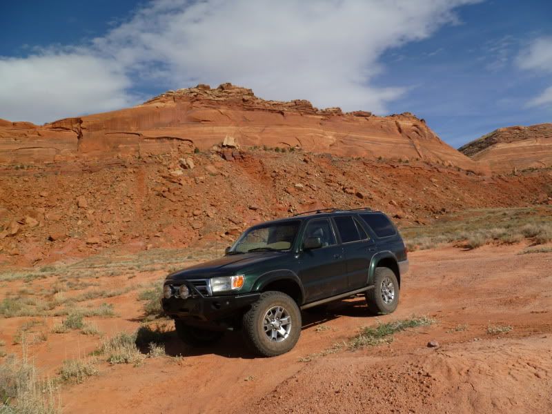
Stress, how do you releave it? With one word “vacation”. Needing to get away from work for a few days, the glare of a computer screen and the wintery weather of the Wasatch front. It was time to head south to make a return trip to Cedar Mesa in SE Utah for a camping trip with a few new friends and my older brother who drove up from Wellton, Arizona.
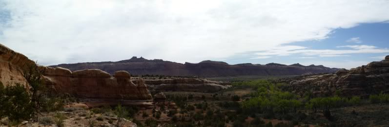
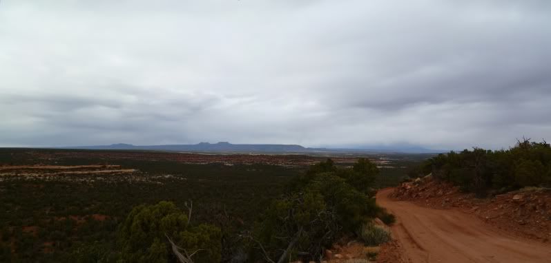
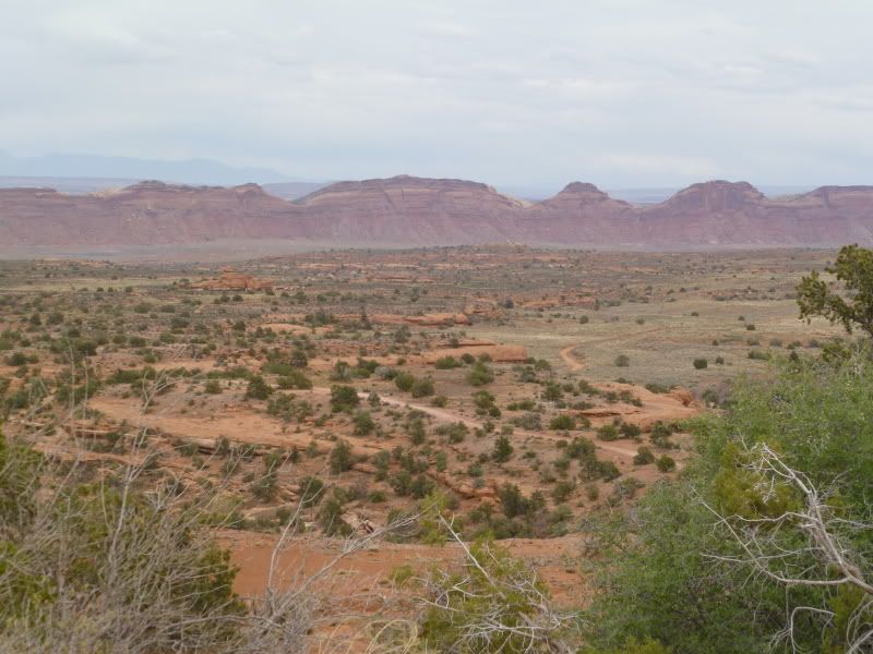
The plan was to camp somewhere around the northern end of Comb Wash and then head out from there to various sites around the Cedar Mesa area.
Thursday -
The plan was to head out around 9am to head down to Cedar Mesa with the hope of meeting up with Moody to find a place to camp. I was a little worried as we ran into construction traffic around the Spanish Fork area then again just north of I-70. To my surprise traffic though Moab wasn't to bad despite it being the Easter Jeep Safari. We ended up reaching Blanding sometime around 4pm with a quick stop to refuel and grab a few last groceries we were off to try and find Moody on Comb Wash.
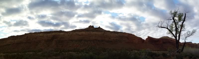
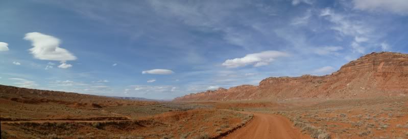
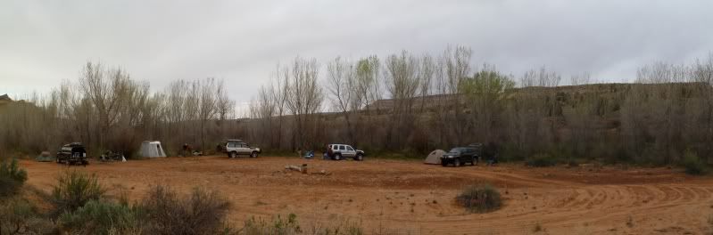
As luck would have it we arrived there just shortly after Moody arrived and tailed along as we searched for an acceptable campsite. After driving around for a bit we ended camping near the north end of Comb Wash.
Friday -
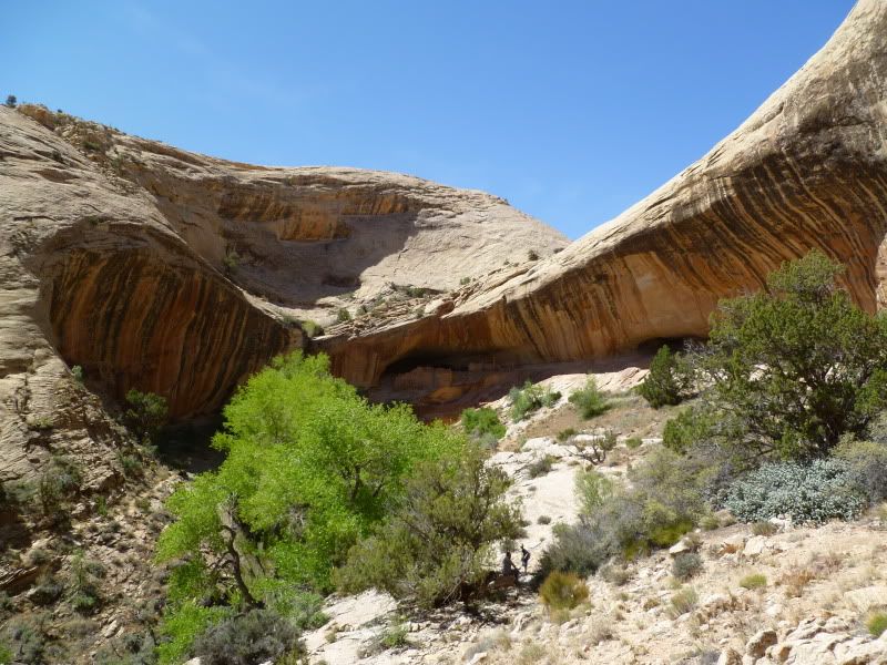
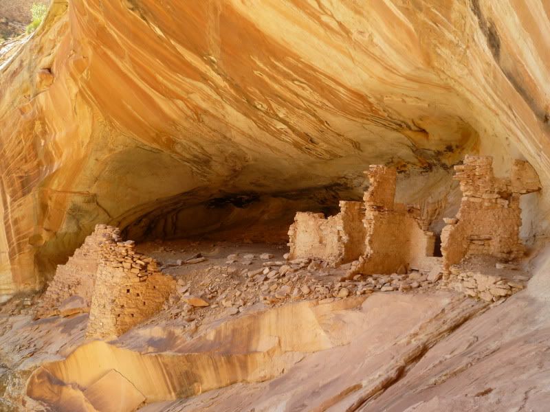
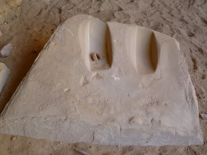
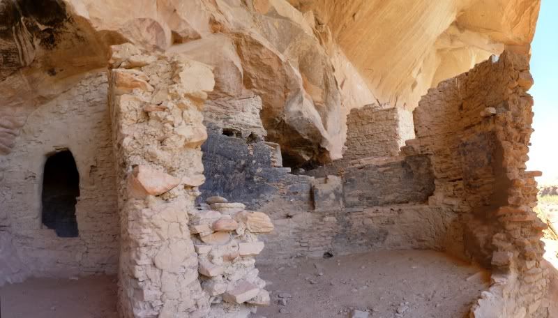
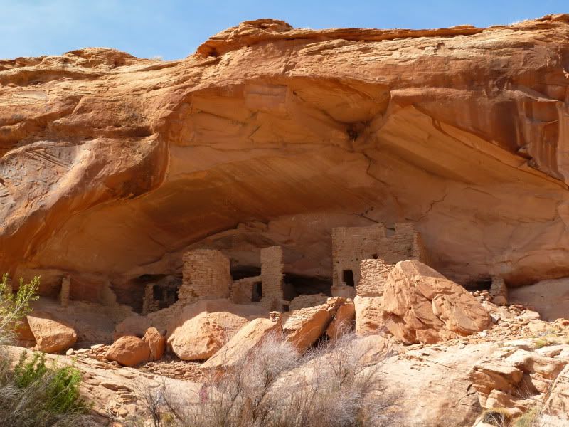
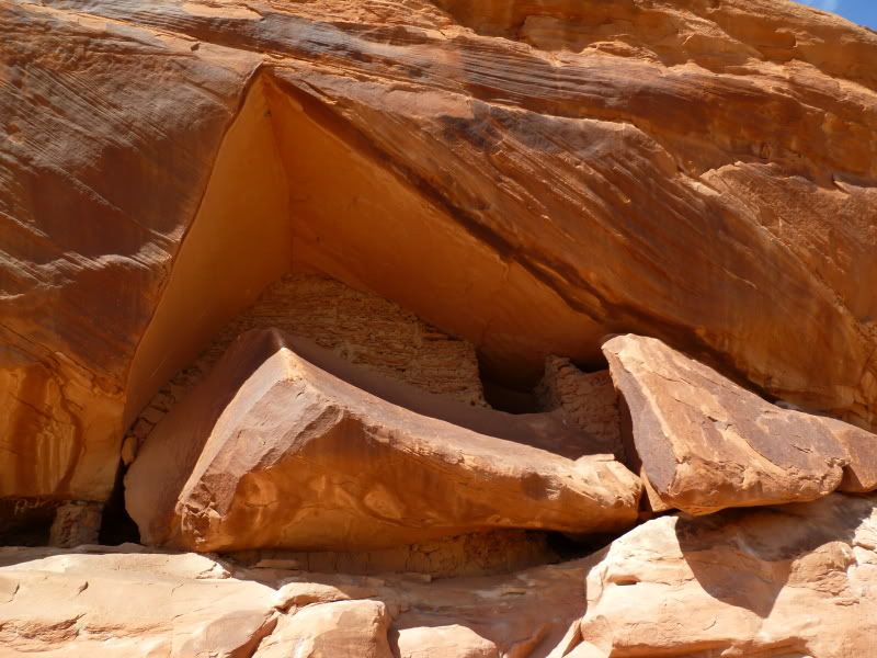
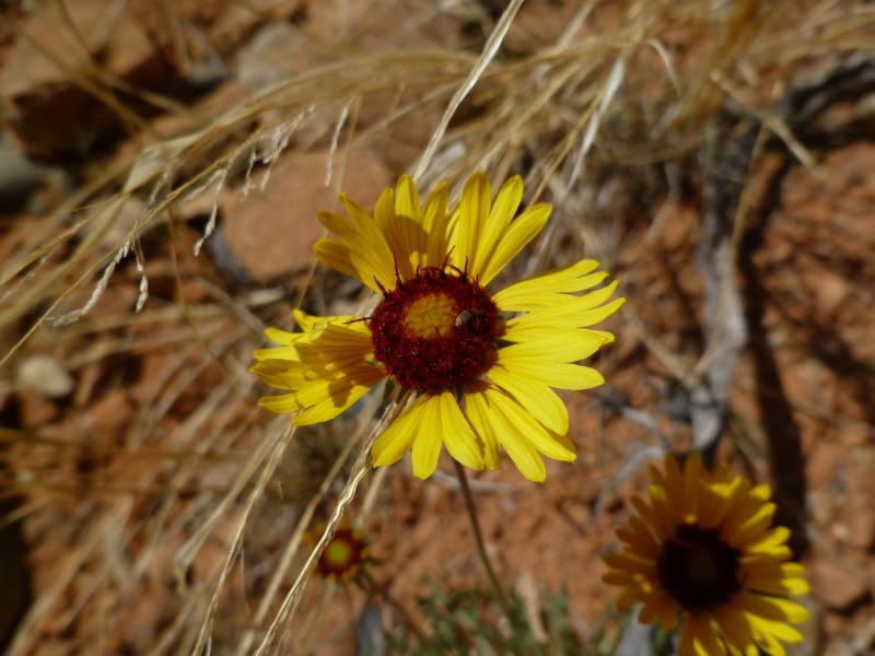
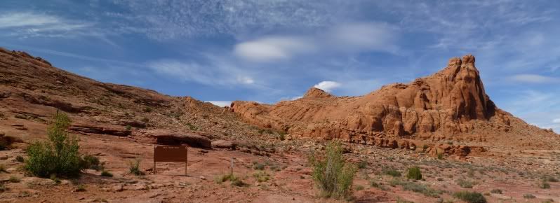
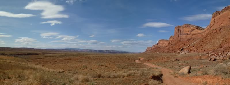
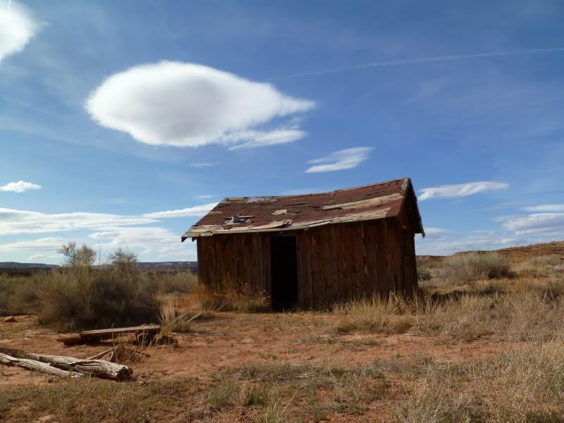
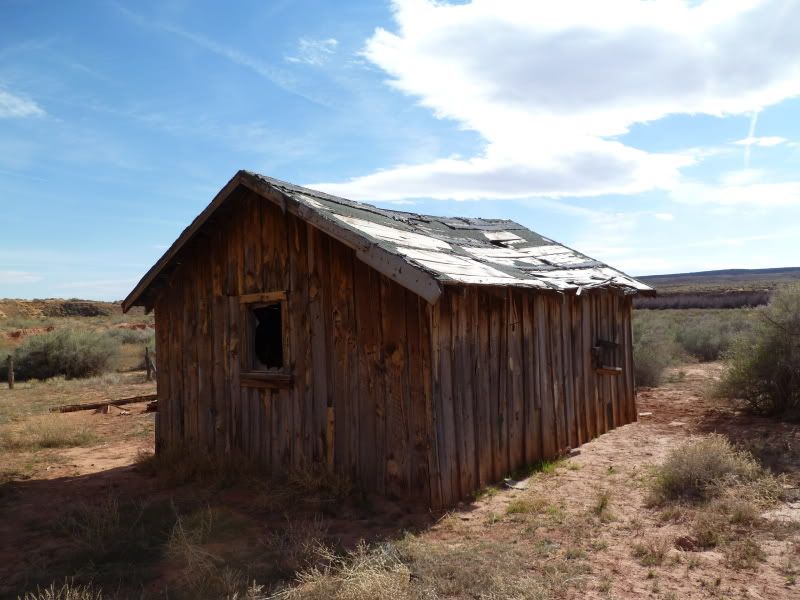
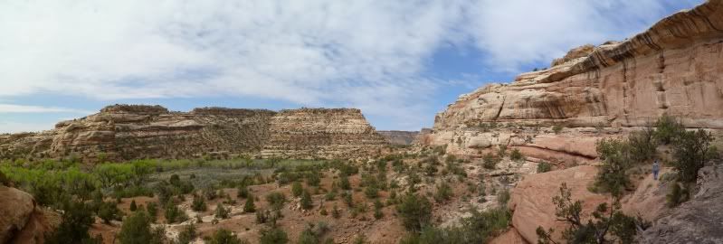
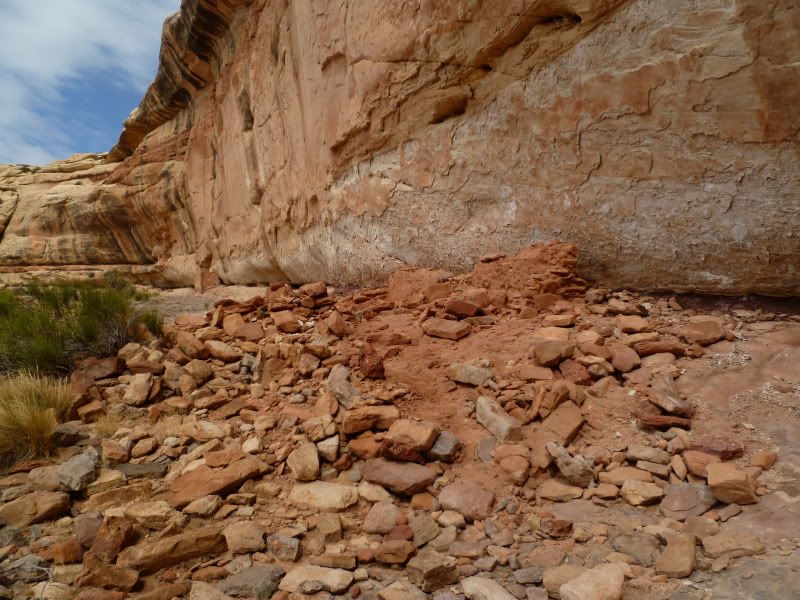
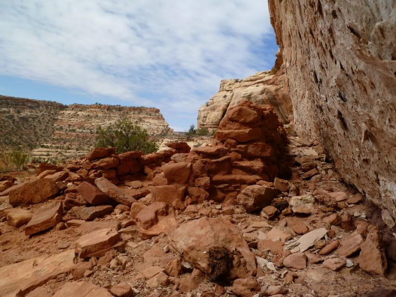
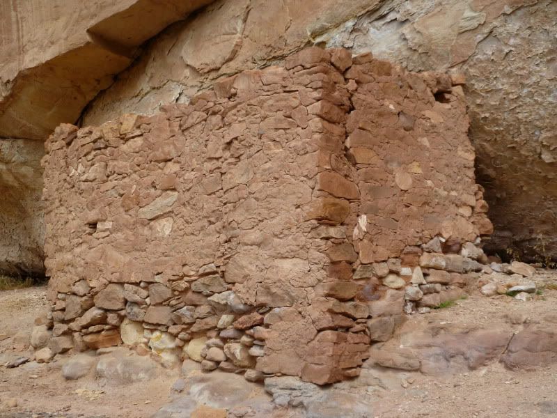
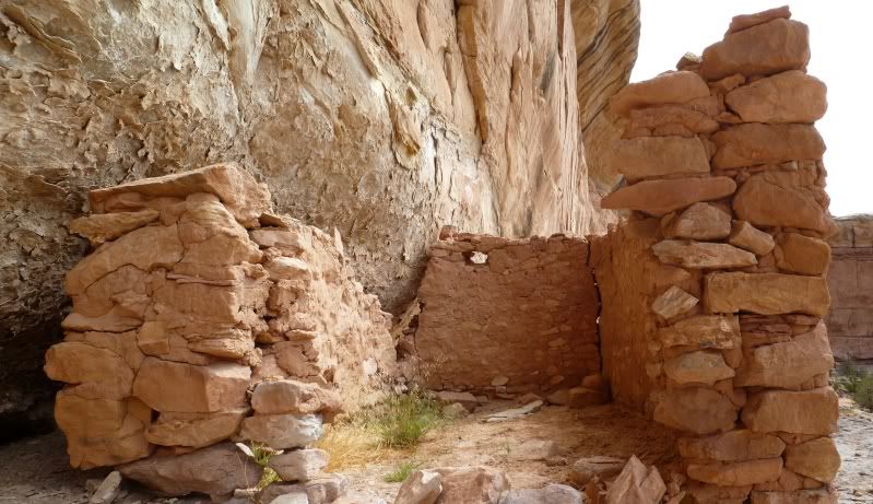
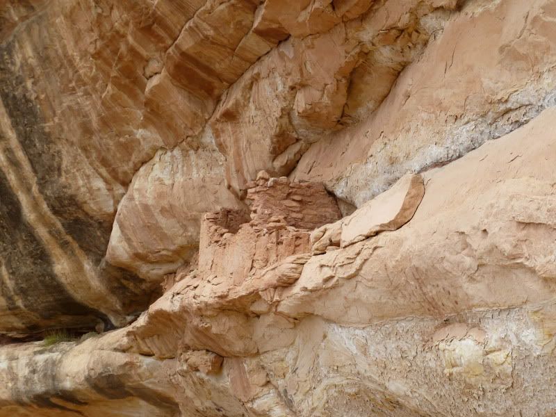
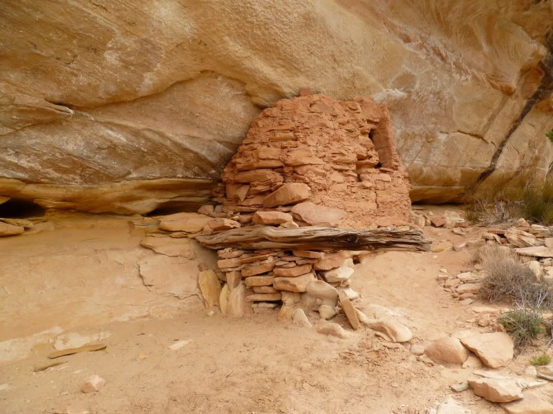
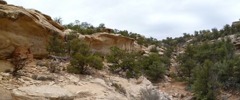
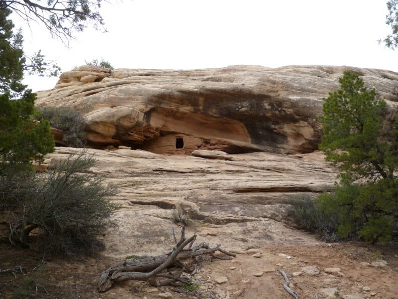
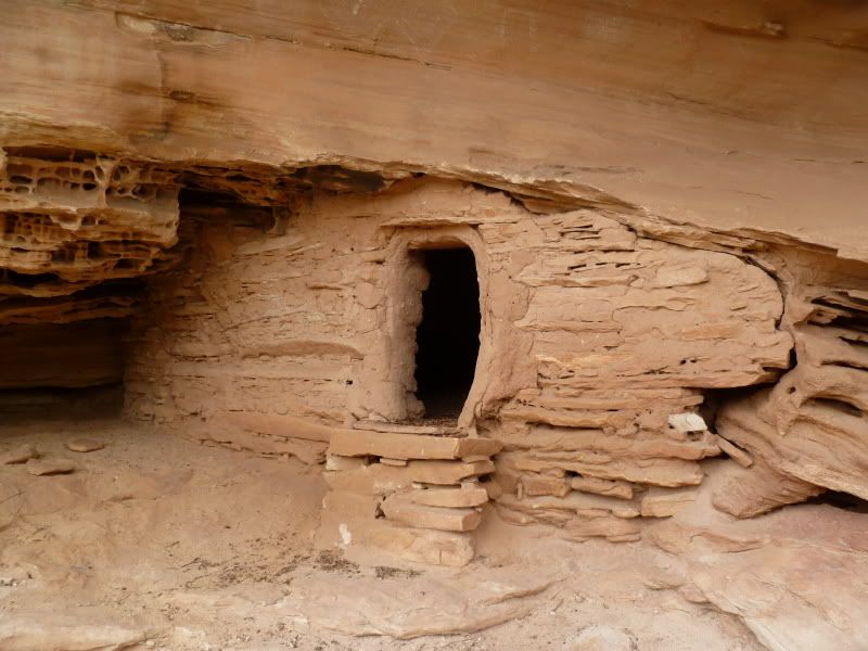
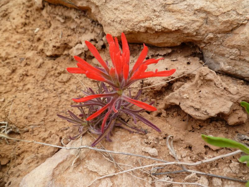
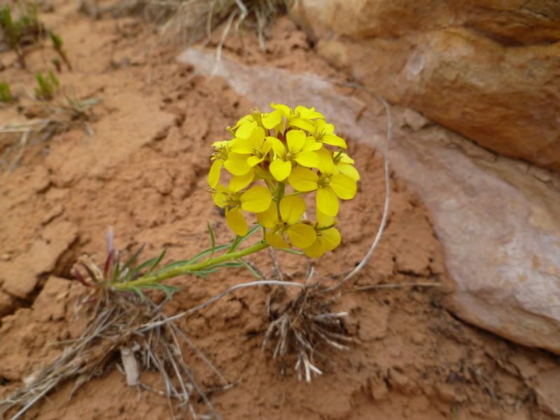
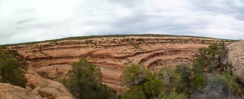
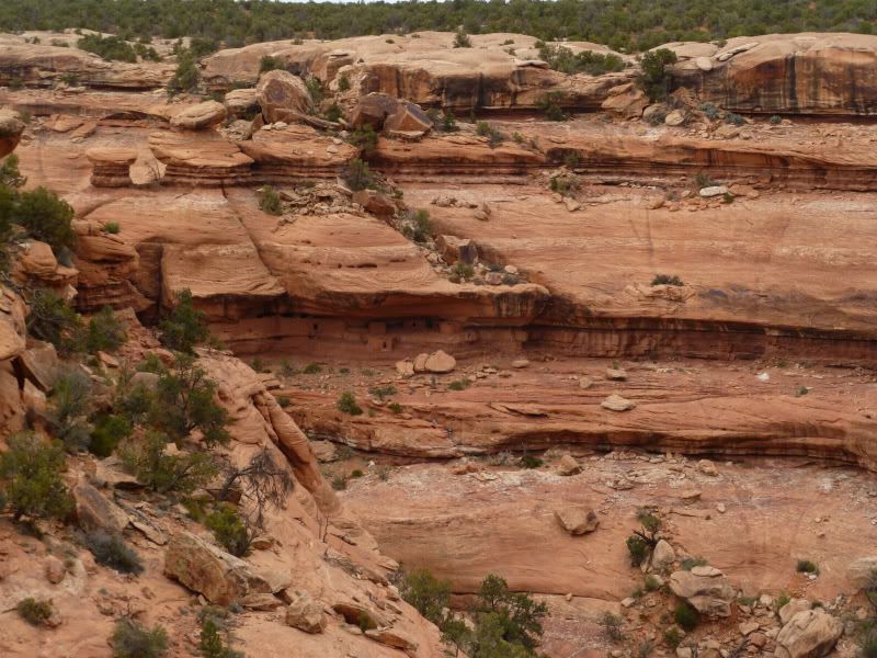
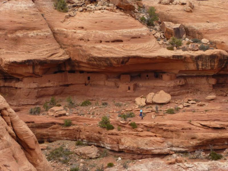
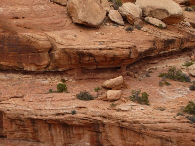
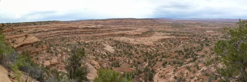
Who needs an alarm clock or rooster to wake you up when you have the sun. Up at 7am after a restless night. Gotta love it. After tooling around camp for a bit we headed out for our first destination to Monarch Cave but not after making a detour to check-out what we thought was a grainy which it wasn't lol.
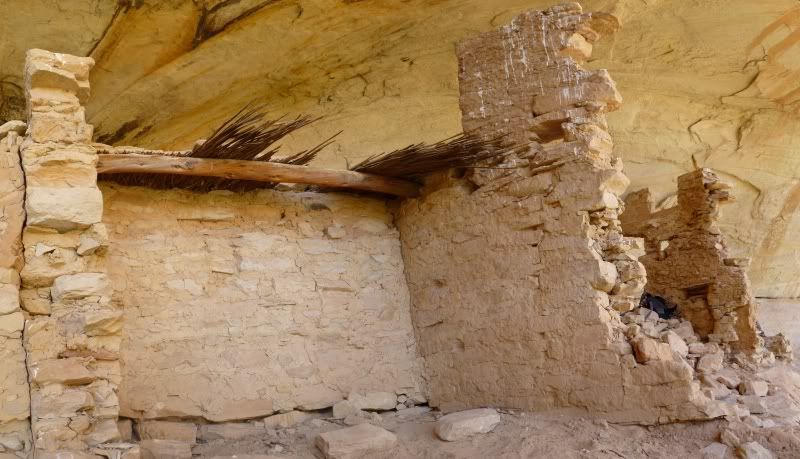
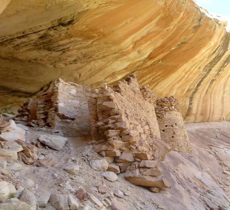
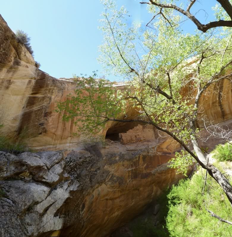
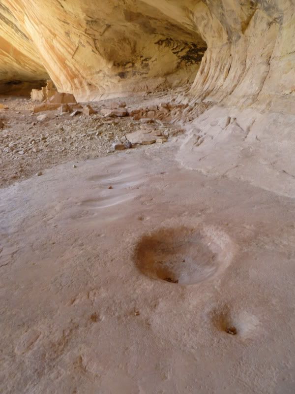
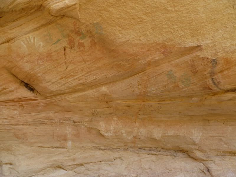
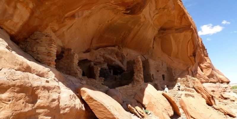
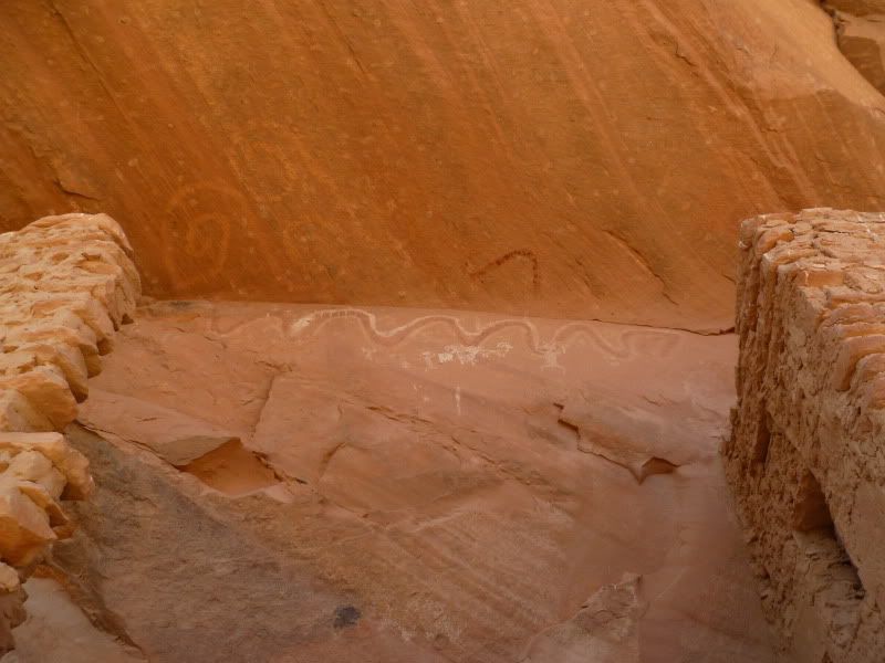
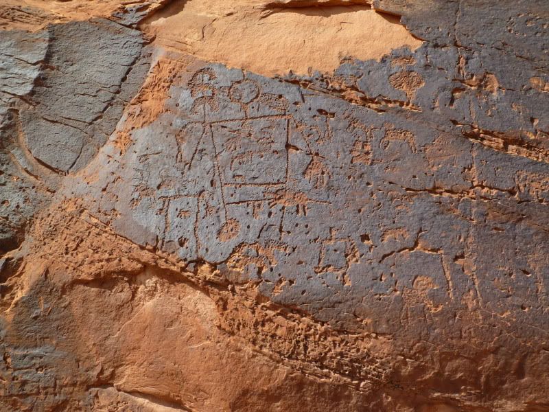
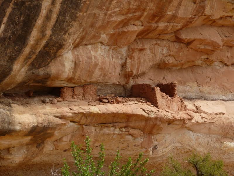
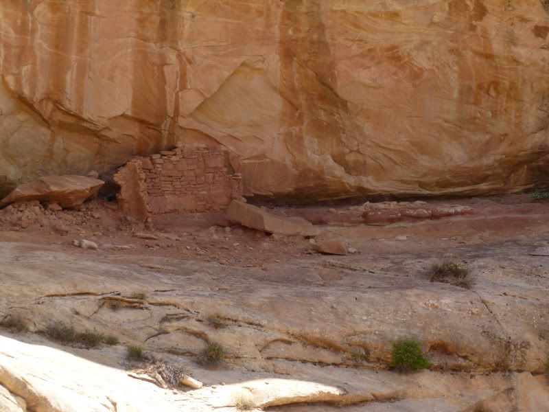
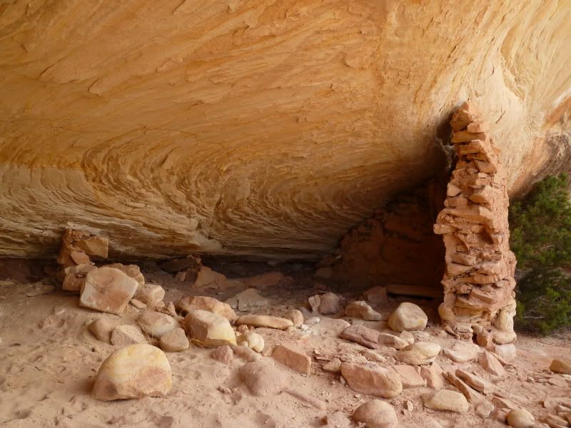
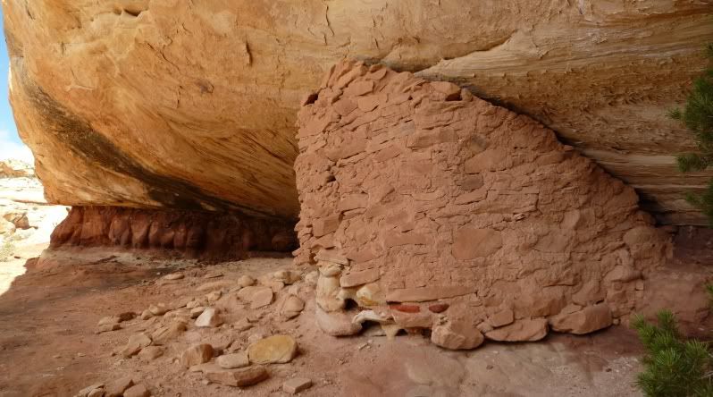
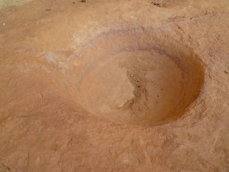
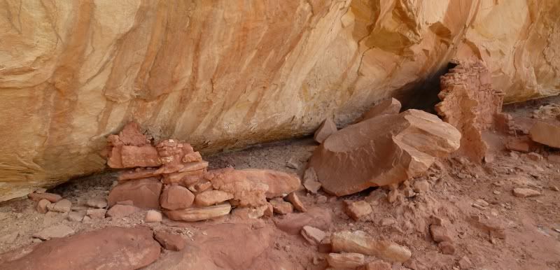
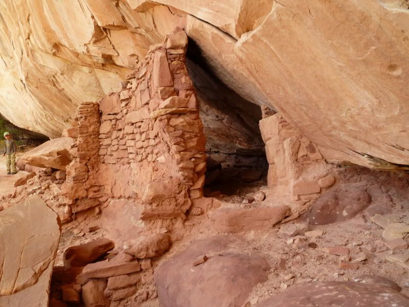
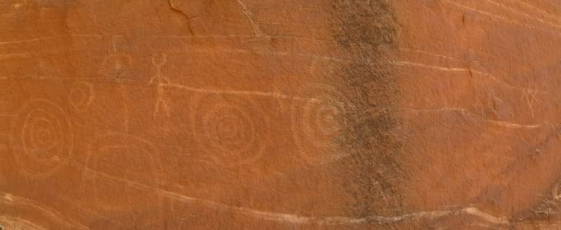
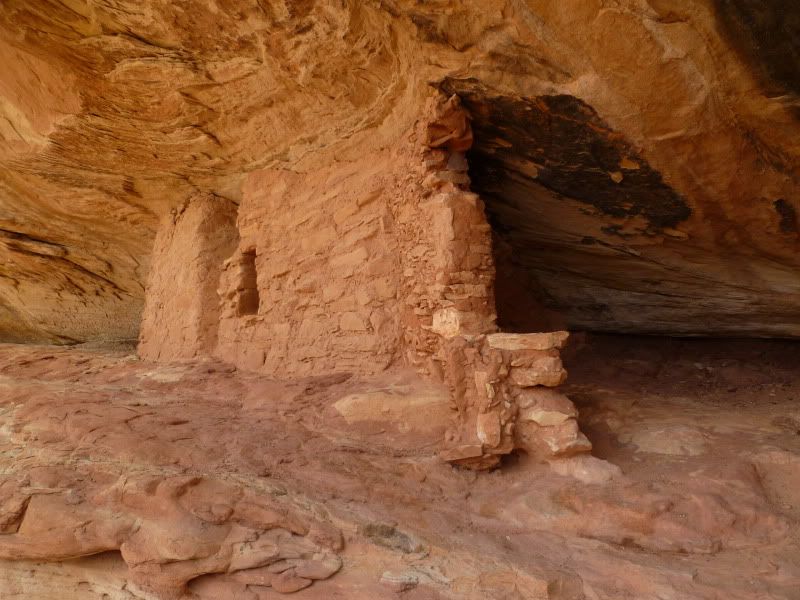
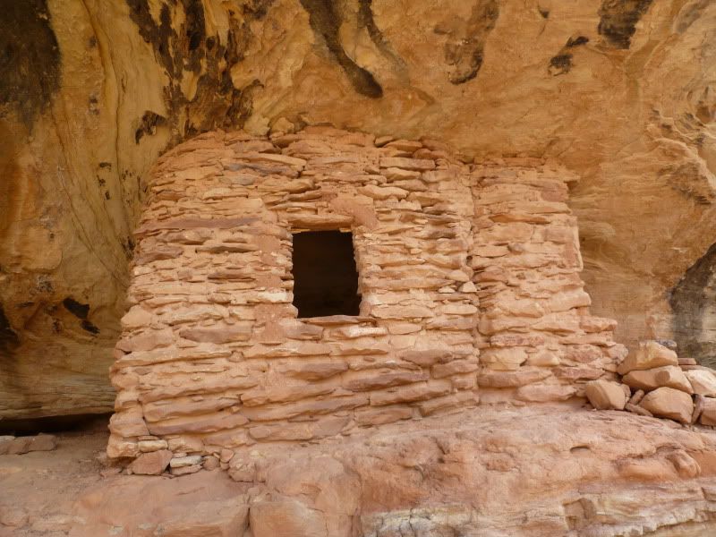
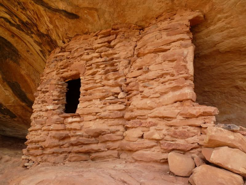
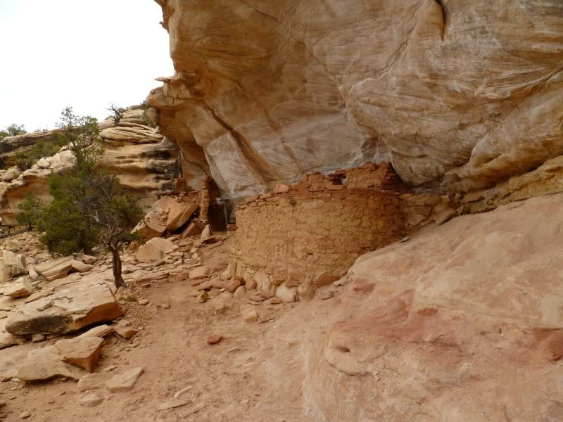
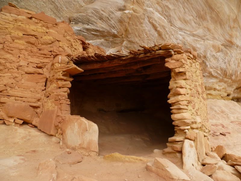
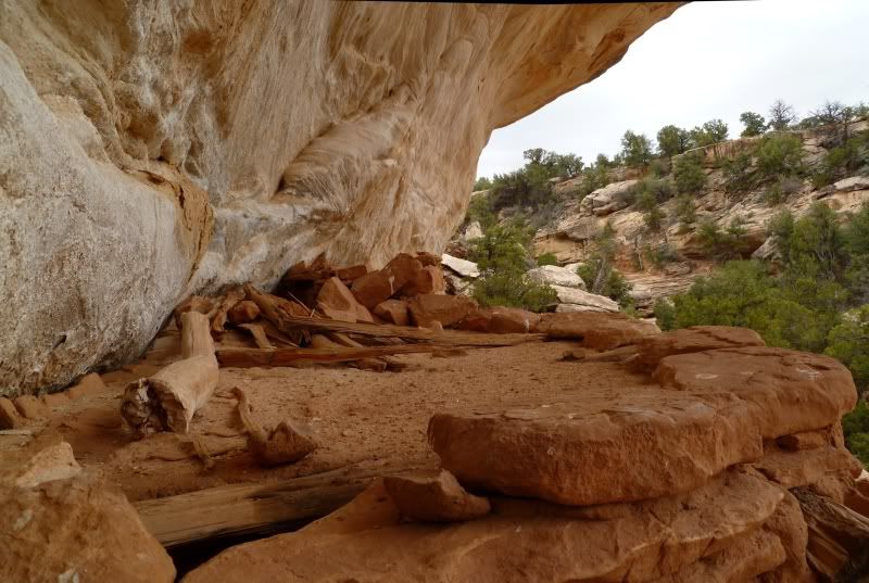
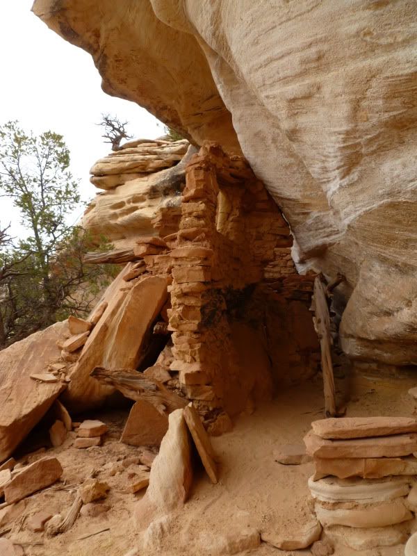
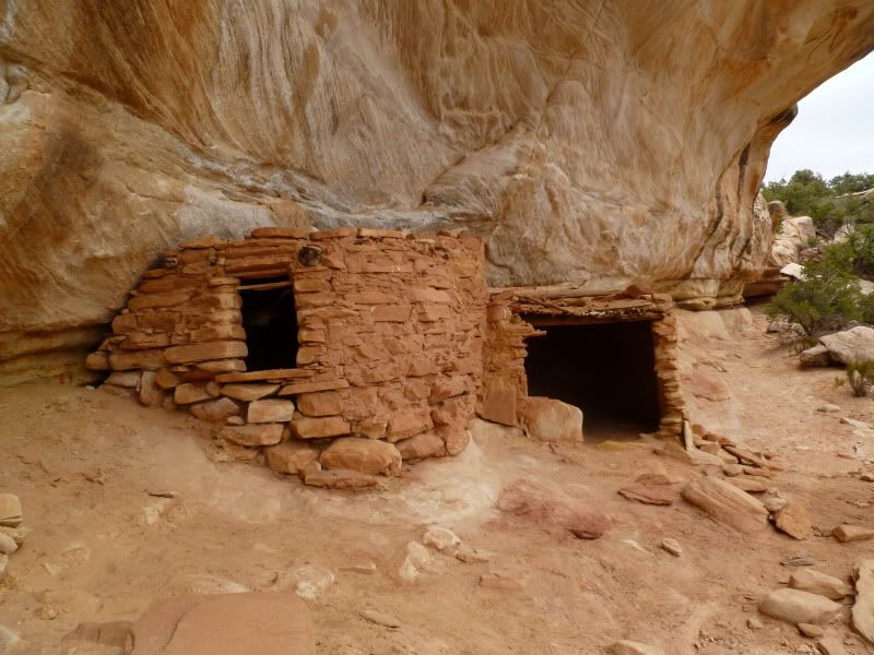
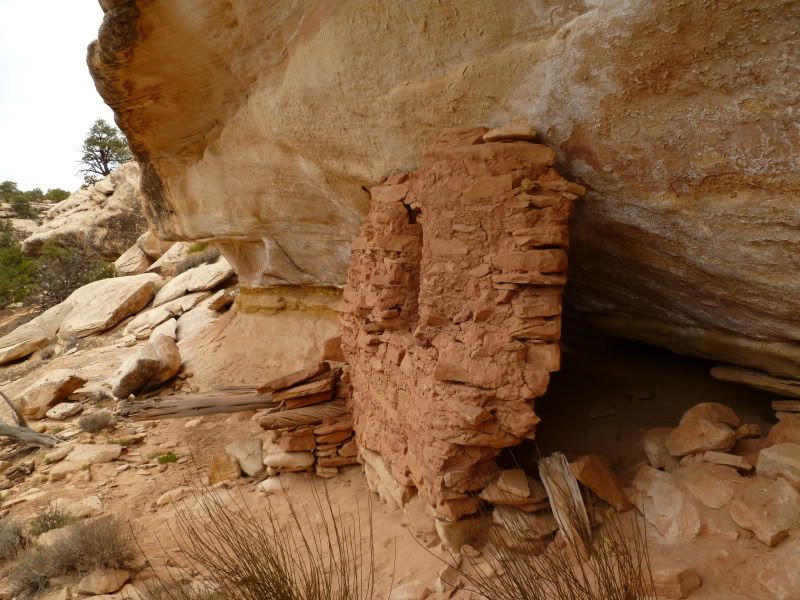
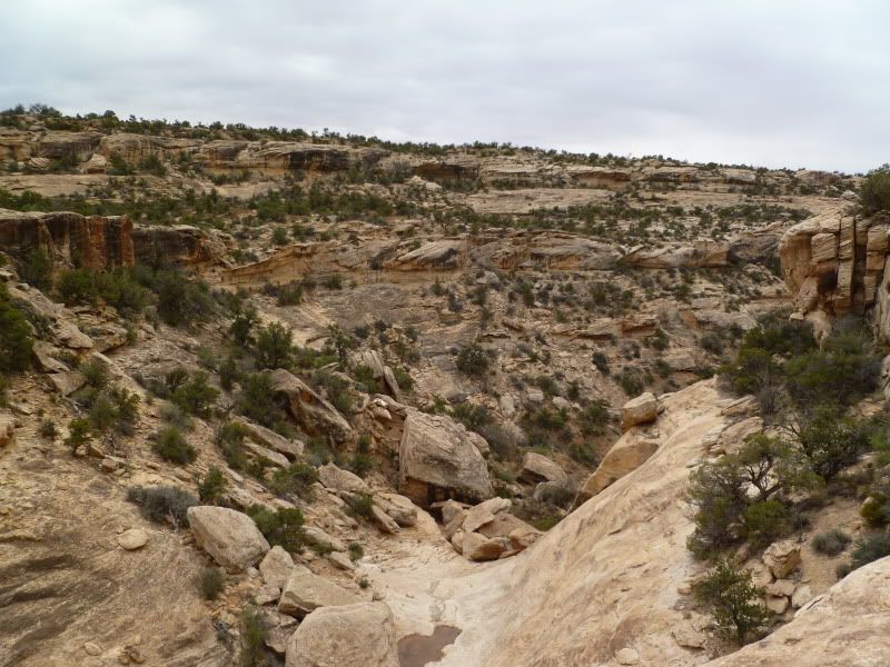
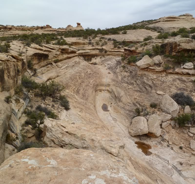
Monarch Cave -
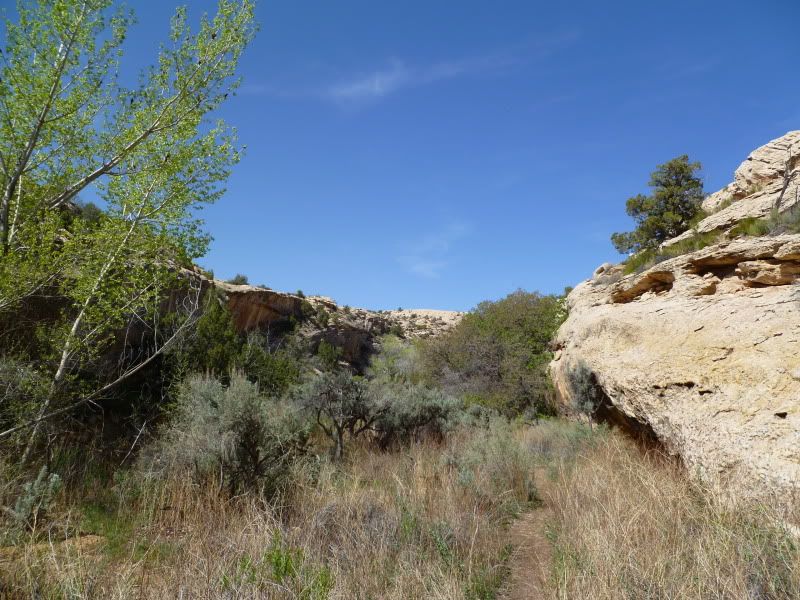
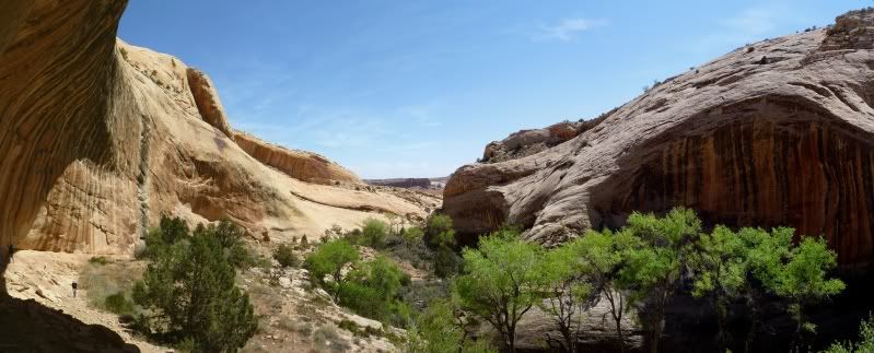
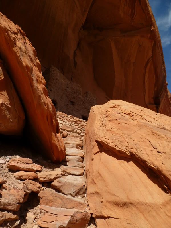
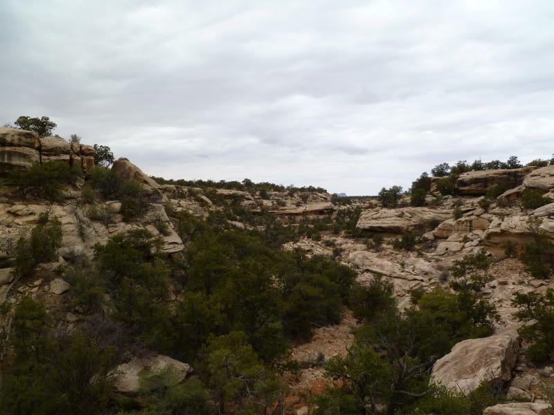
Trail Back
Stress, how do you releave it? With one word “vacation”. Needing to get away from work for a few days, the glare of a computer screen and the wintery weather of the Wasatch front. It was time to head south to make a return trip to Cedar Mesa in SE Utah for a camping trip with a few new friends and my older brother who drove up from Wellton, Arizona.
The plan was to camp somewhere around the northern end of Comb Wash and then head out from there to various sites around the Cedar Mesa area.
Thursday -
The plan was to head out around 9am to head down to Cedar Mesa with the hope of meeting up with Moody to find a place to camp. I was a little worried as we ran into construction traffic around the Spanish Fork area then again just north of I-70. To my surprise traffic though Moab wasn't to bad despite it being the Easter Jeep Safari. We ended up reaching Blanding sometime around 4pm with a quick stop to refuel and grab a few last groceries we were off to try and find Moody on Comb Wash.
As luck would have it we arrived there just shortly after Moody arrived and tailed along as we searched for an acceptable campsite. After driving around for a bit we ended camping near the north end of Comb Wash.
Friday -
Who needs an alarm clock or rooster to wake you up when you have the sun. Up at 7am after a restless night. Gotta love it. After tooling around camp for a bit we headed out for our first destination to Monarch Cave but not after making a detour to check-out what we thought was a grainy which it wasn't lol.
Monarch Cave -
Trail Back
Last edited:


") another time...
another time...