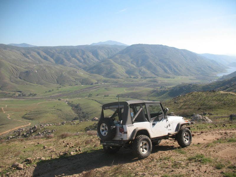
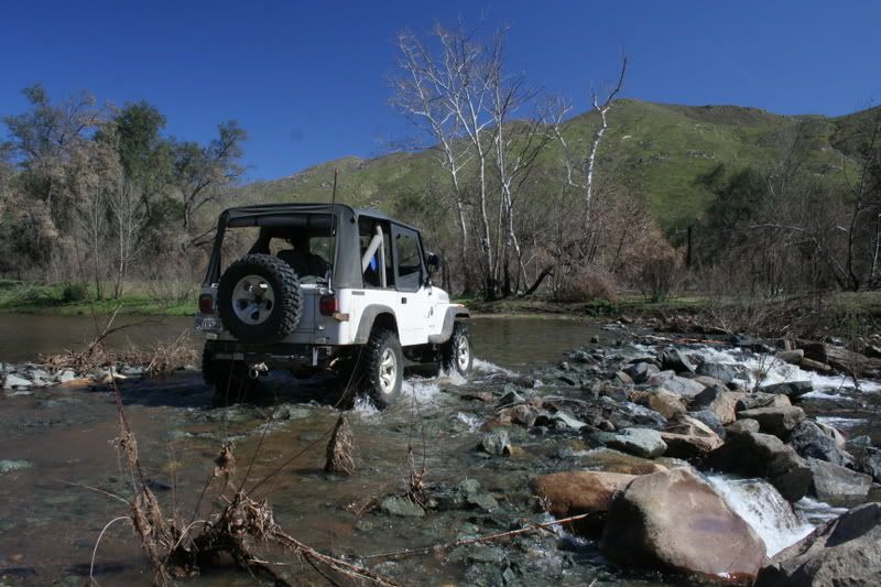
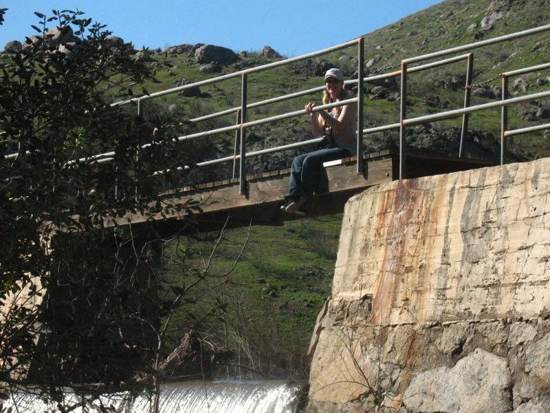
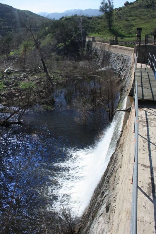
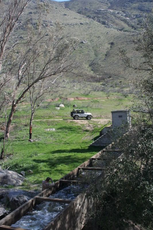
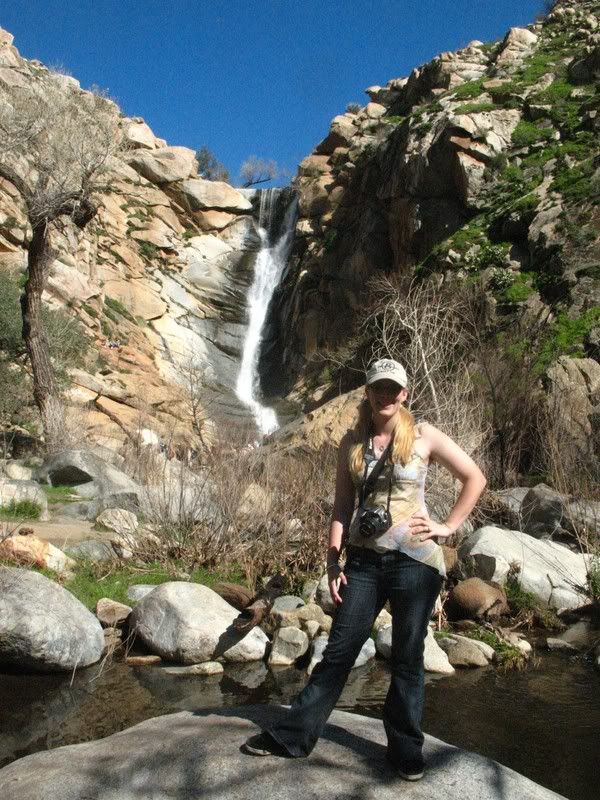
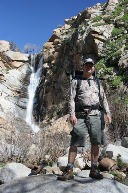
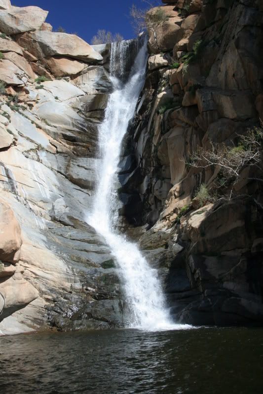
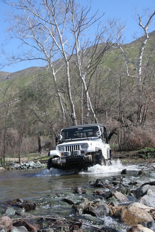
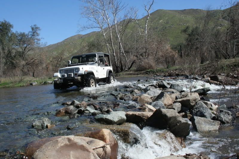
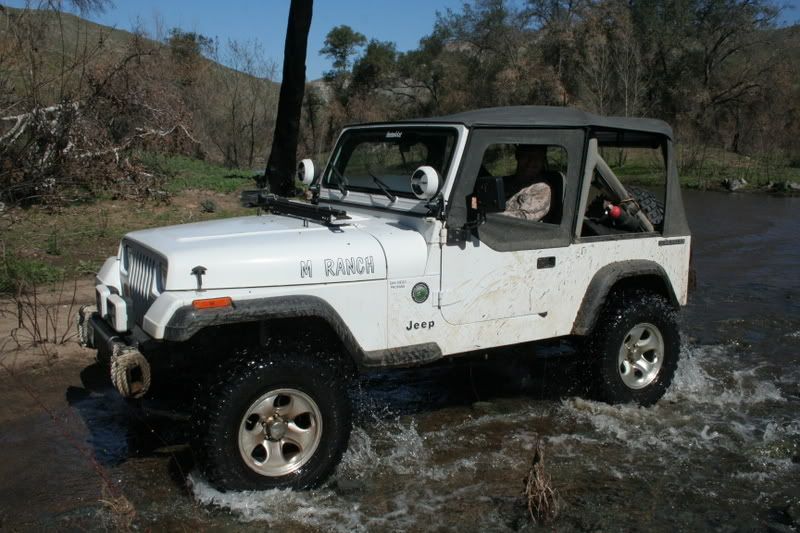
I came across this thread and wanted to put in my .02. I've explored that valley just north of El Capitan Reservoir as well and while it's beautiful I would strongly recommend not driving down there. The access to the valley floor (through the gate that BW mentions) is across Barona Indian land and they are very particular about who has authorized access to be on their property. The northern part of the valley is owned by some private entities who I've heard are strongly opposed to trespassers as well. I believe that the falls are on National Forest Land so I'm sure there are ways to legally hike down to see them - I just wouldn't risk taking a vehicle down and getting locked inside the gate, or getting caught trespassing on private property.
")
")