San Rafael Swell Western Slopes

hatchcanyon

Lancisti
My name is Rolf. I'm from Germany, roaming the American Southwest together with my wife since 1985.

This report is from May 2013.

San Rafael Swell is one of our favorites. Not only the interior the adjacent parts as well. We decided to explore the western slopes south of I 70 a bit more intensely than we had done this all the years before. Therefor we drove - our base camp is Moab - to exit 99 west of the Swell. County Road 912 runs to the north to Emery, but we went southbound onto Blue Road.
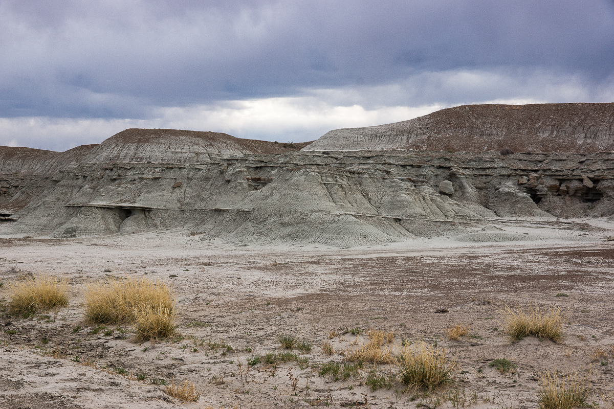
The name is derivated from the predominant grey (blue) shale covering the area.
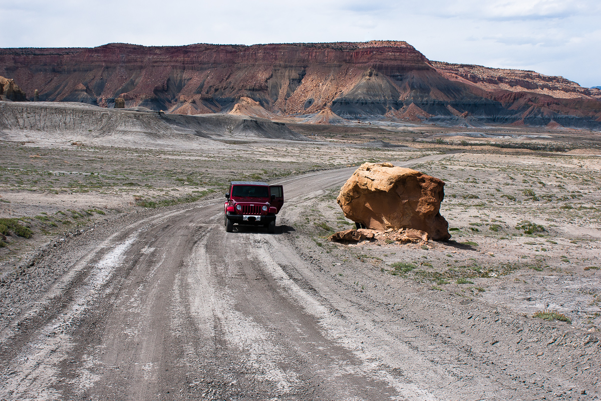
_DSC0194_12.jpg

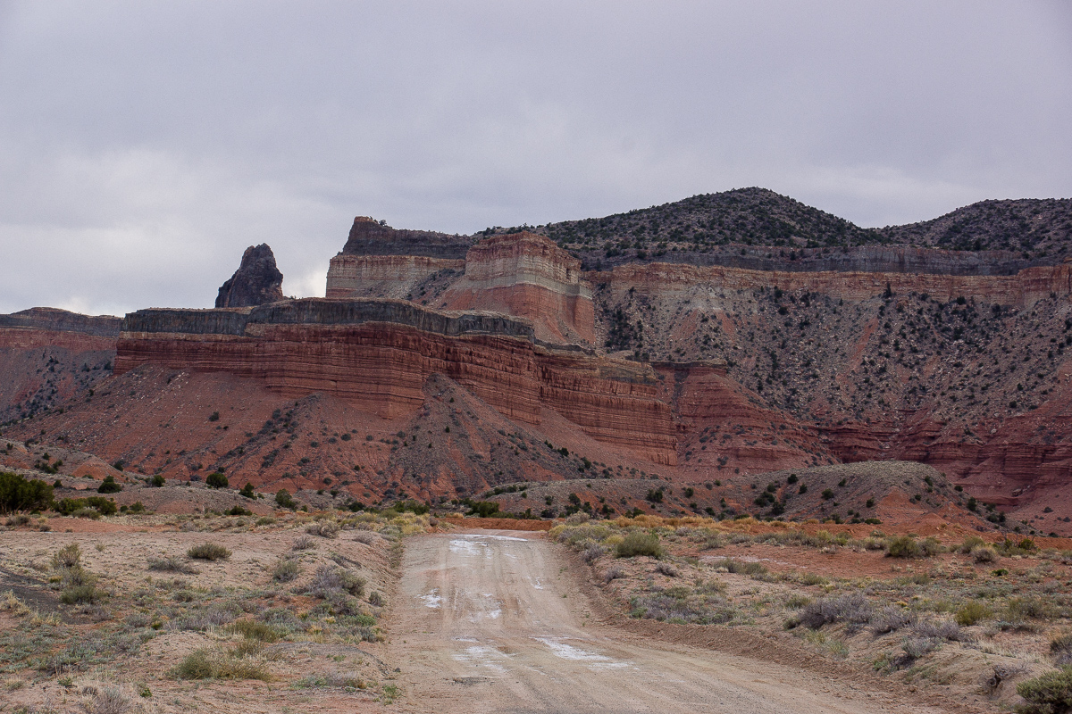
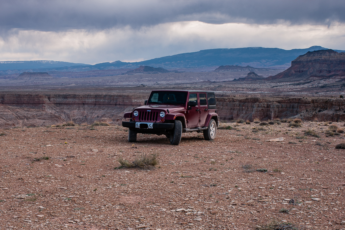
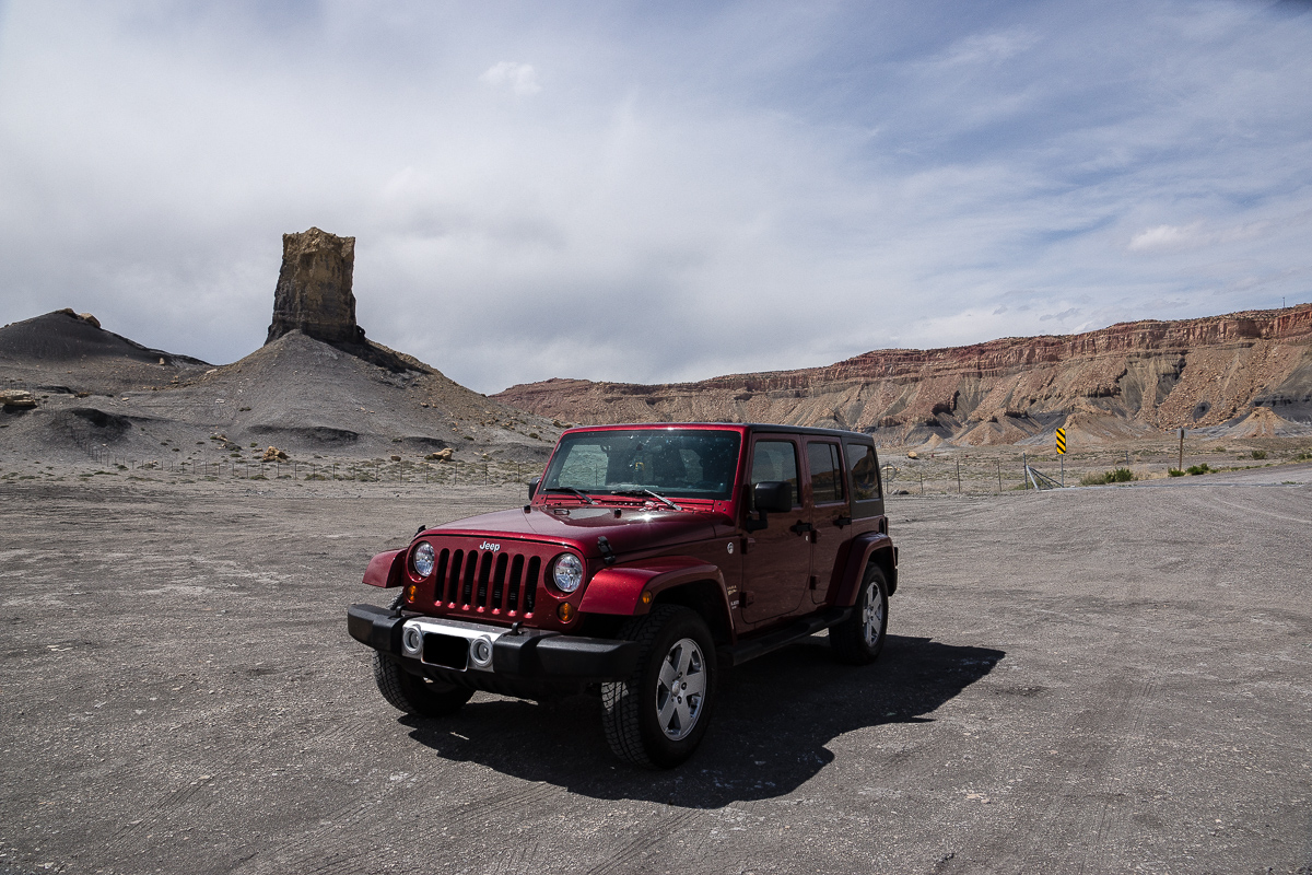
Our Wrangler on Blue Road

DSC00010_12.jpg

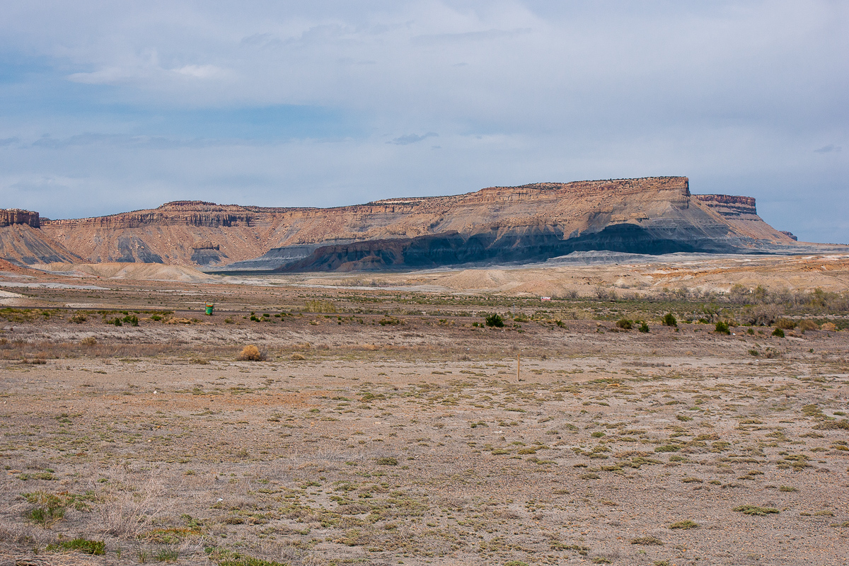
Across I 70: Coal Cliffs

DSC00012_12.jpg

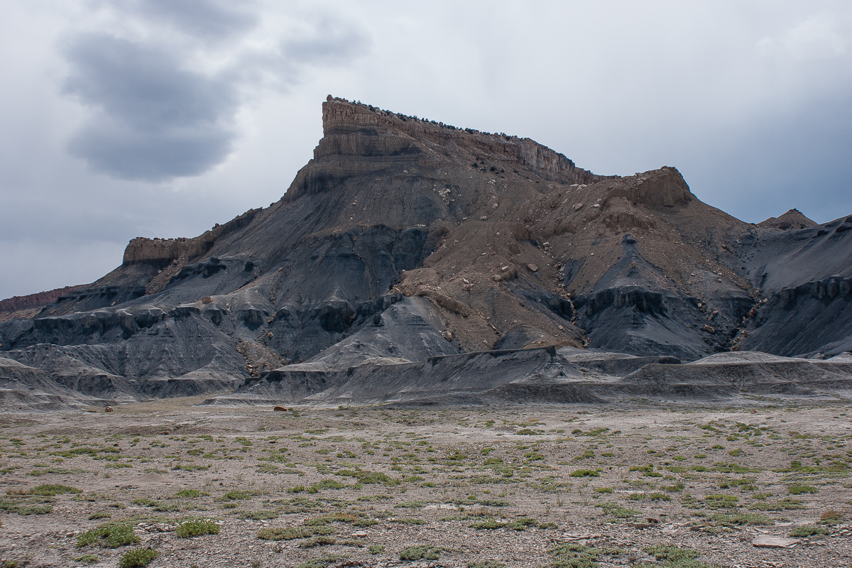
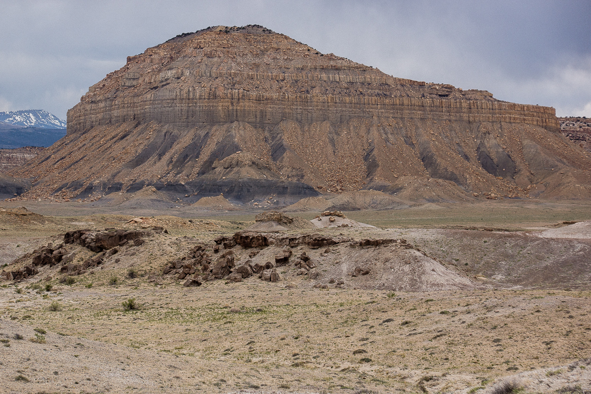
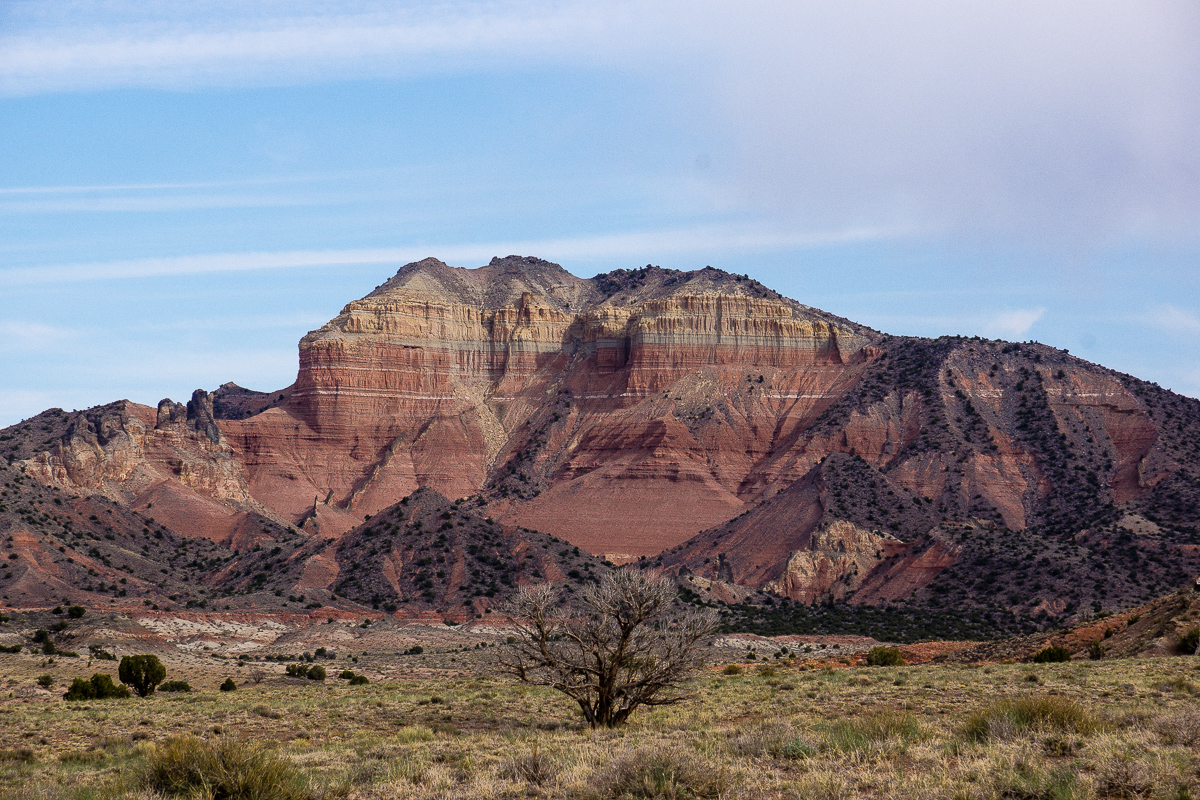
Mesa Butte

DSC00013_12.jpg

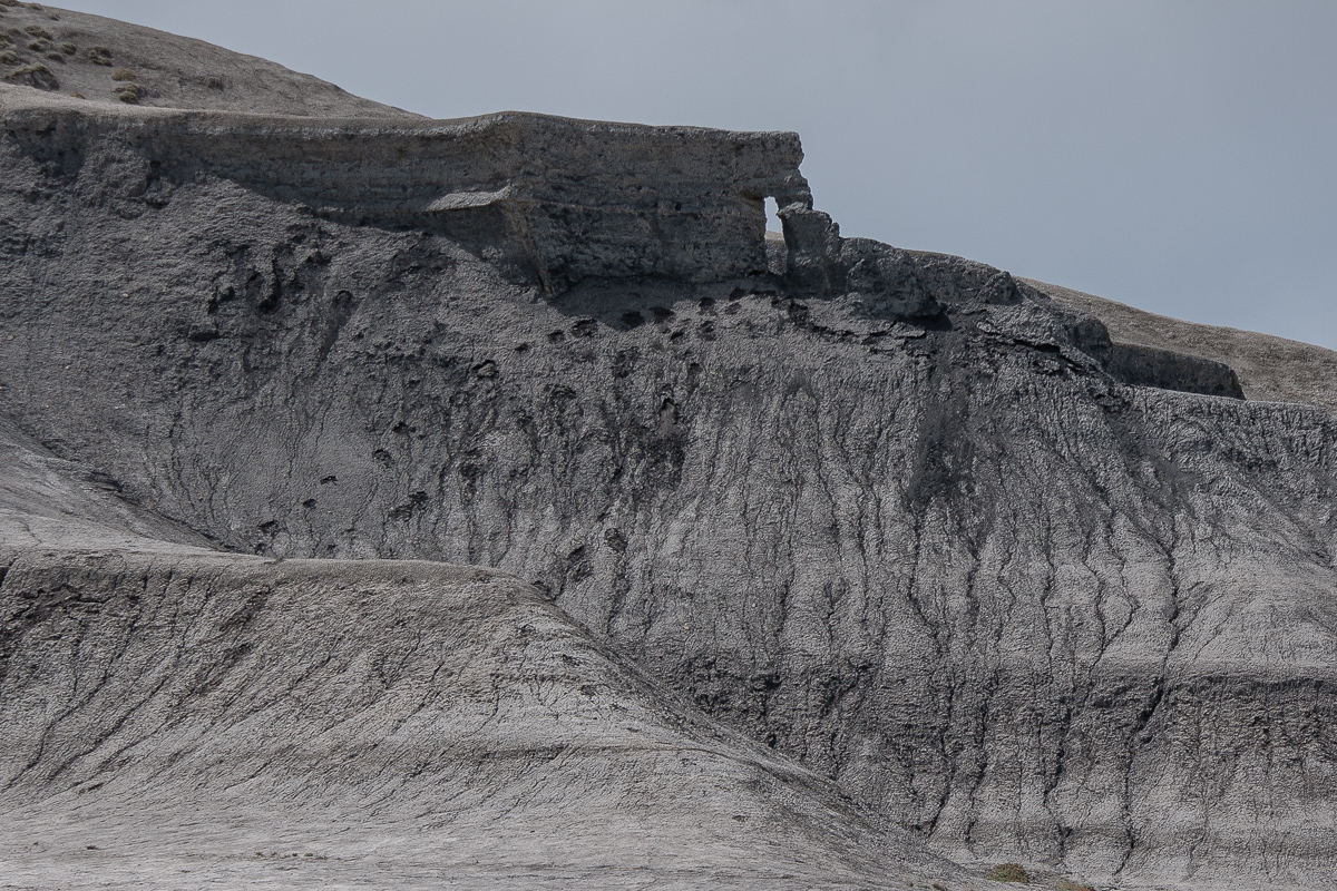
An arch on the northern slope of the butte
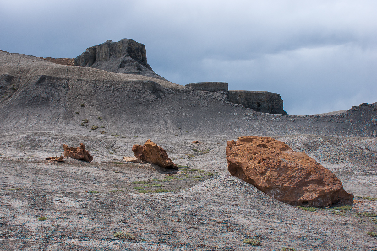
_DSC0199_12.jpg

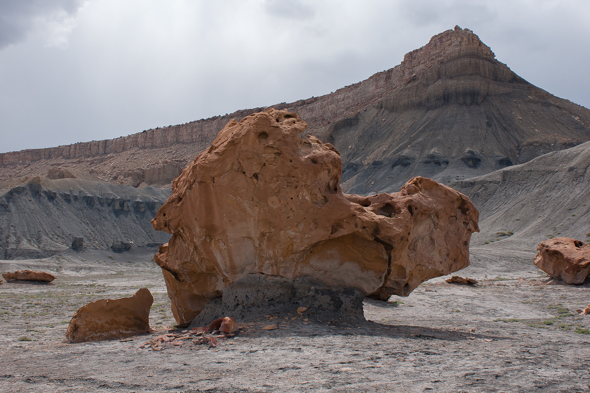
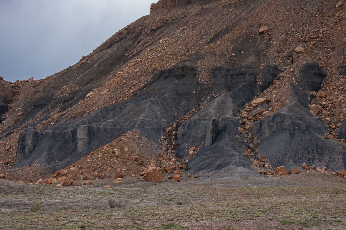
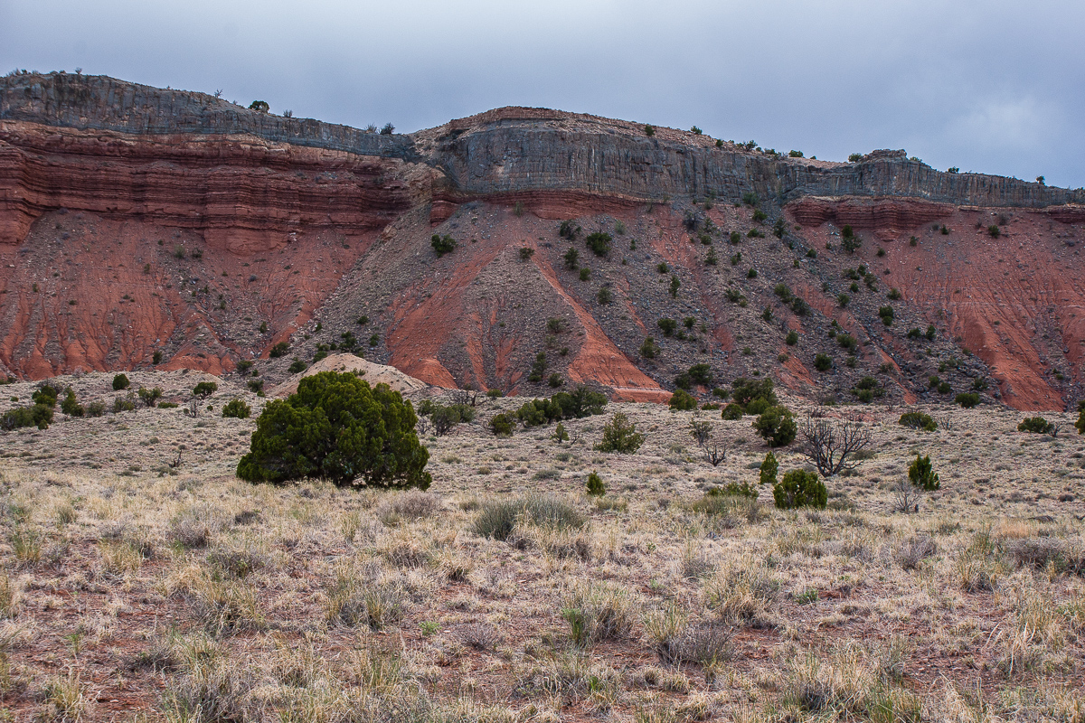
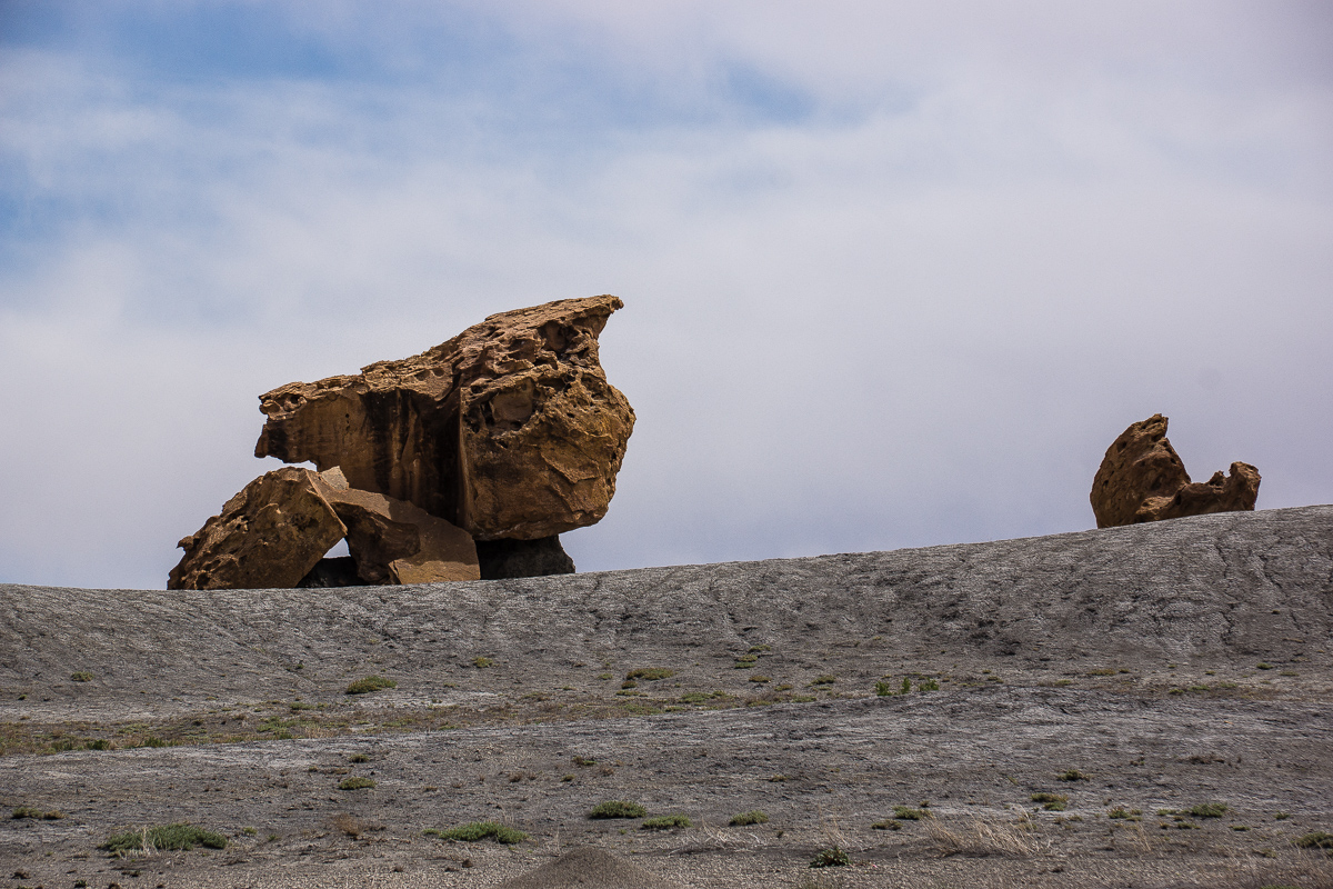
Brown sandstone boulders on grey shale

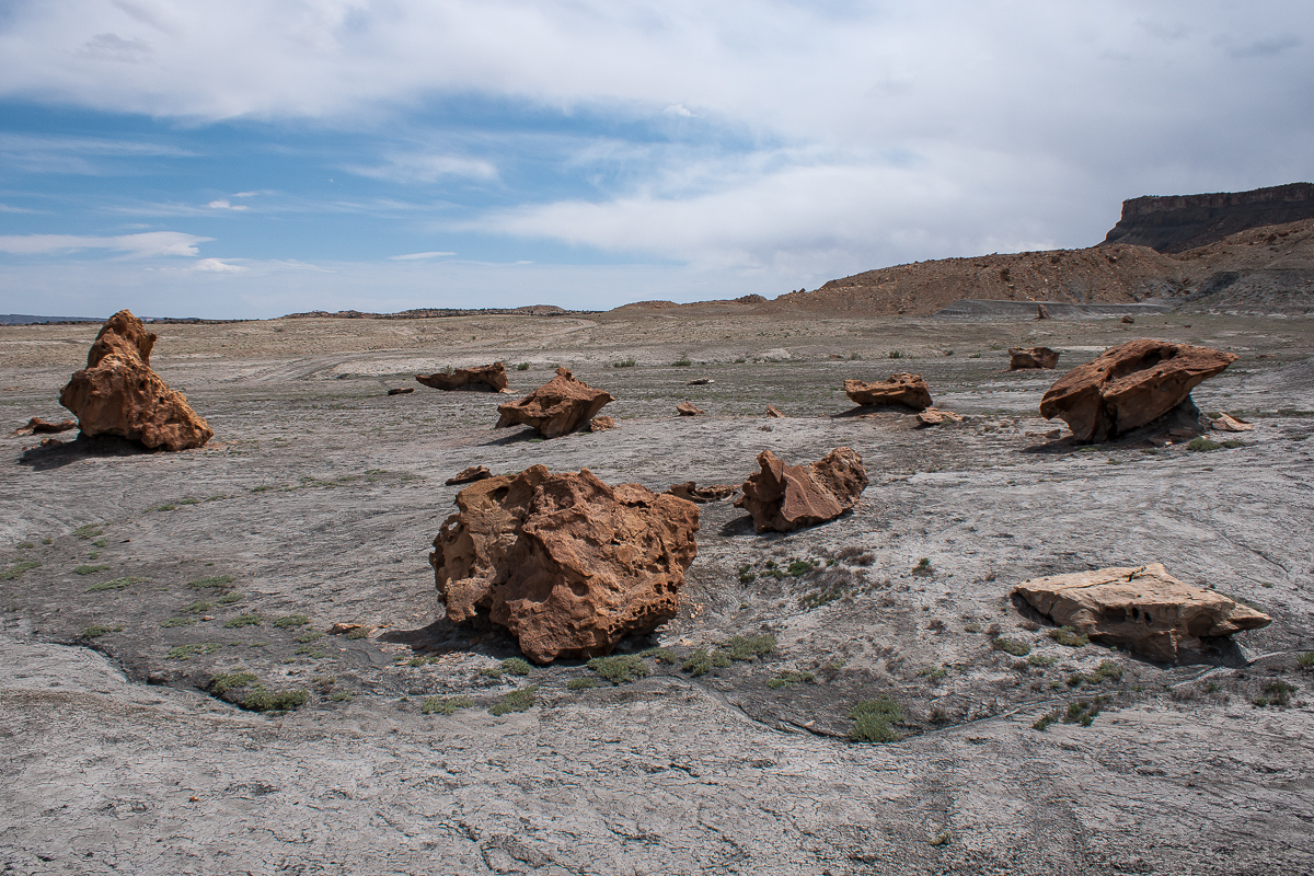
These boulders are remnants from an harder cap rock on top of the shale.
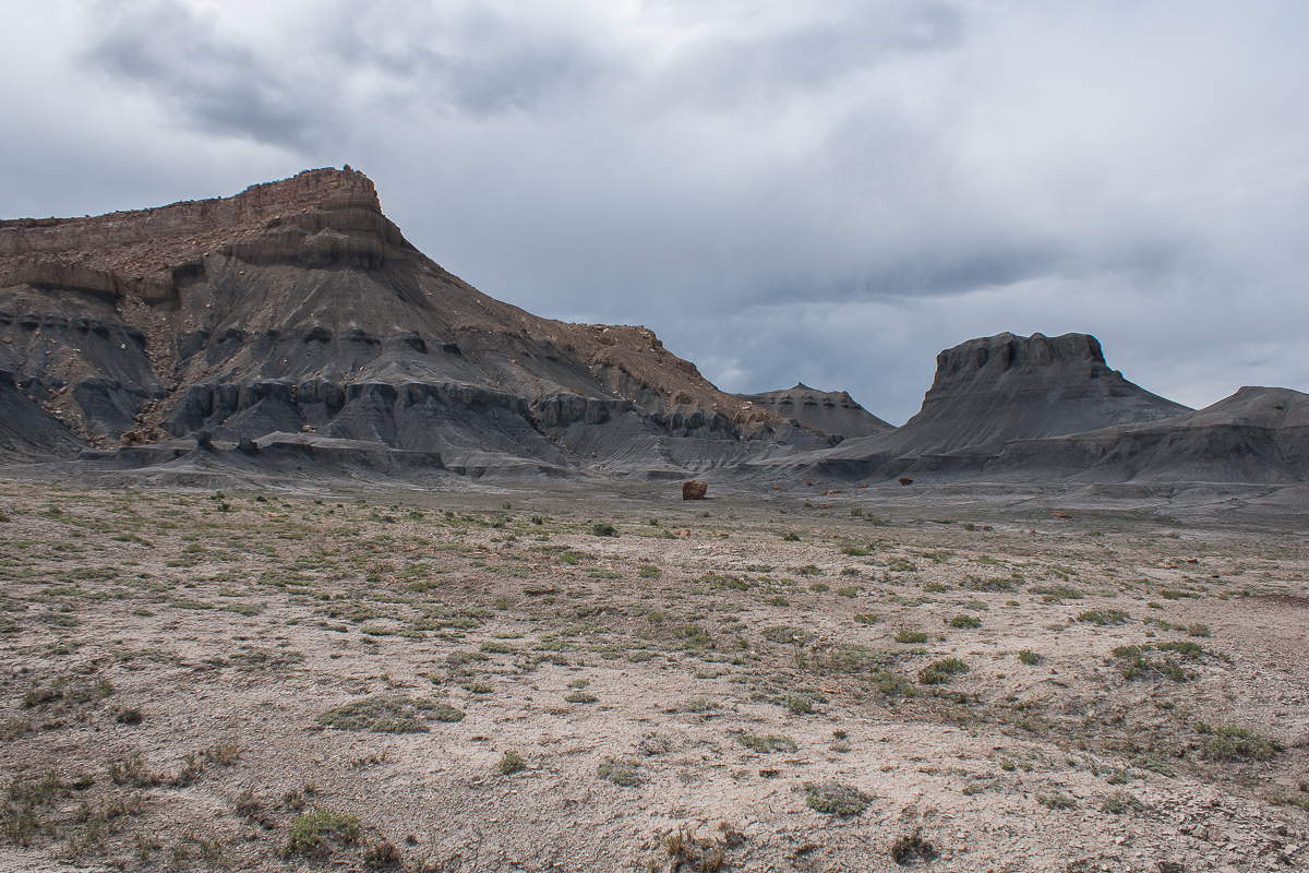
DSC00015_12.jpg


DSC00017_12.jpg

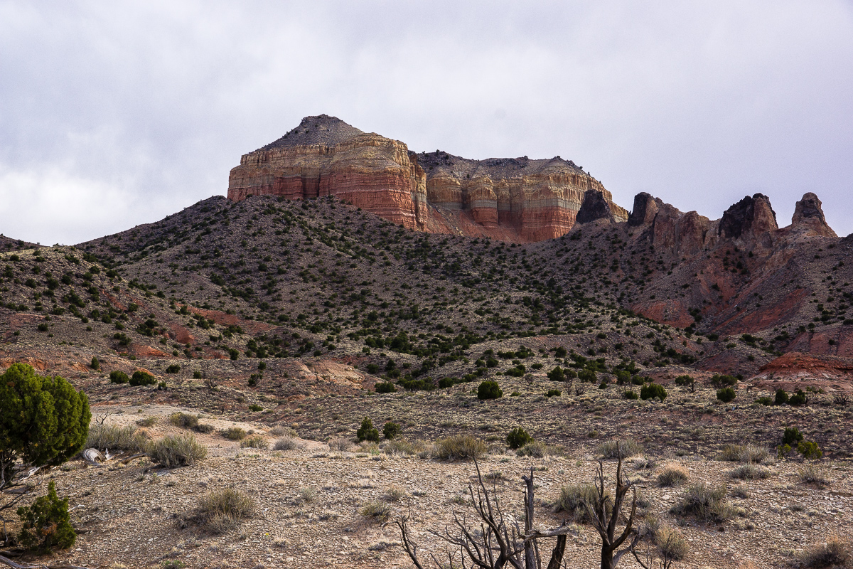
Mesa Butte and boulders

DSC00021_12.jpg


DSC00018_12.jpg


DSC00023_12.jpg


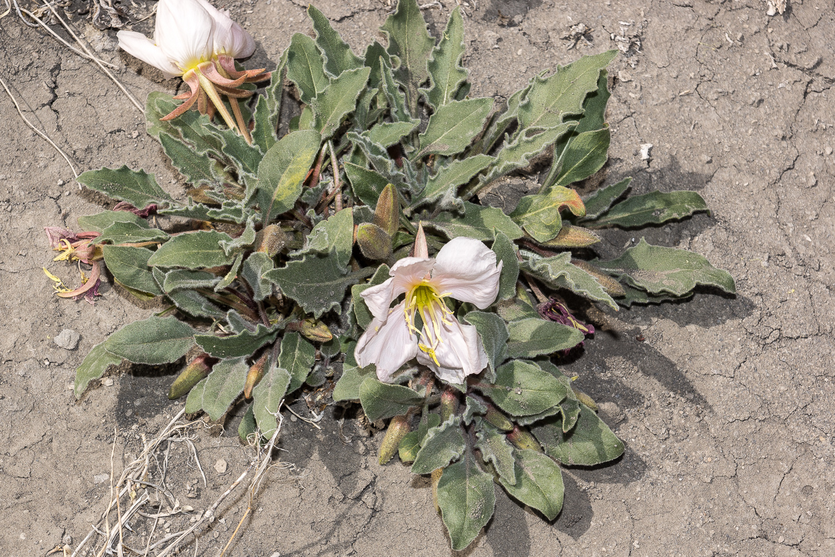
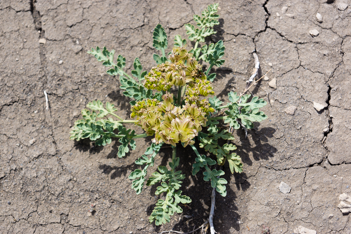
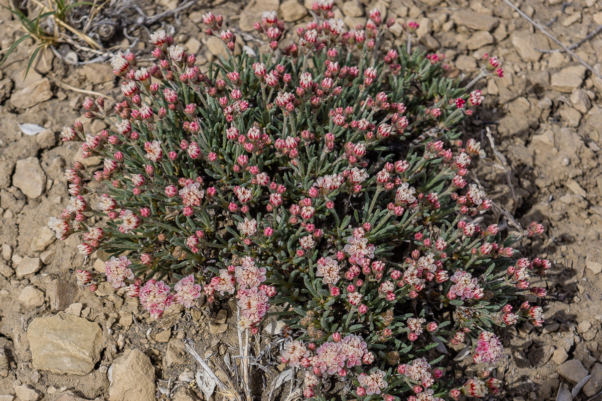
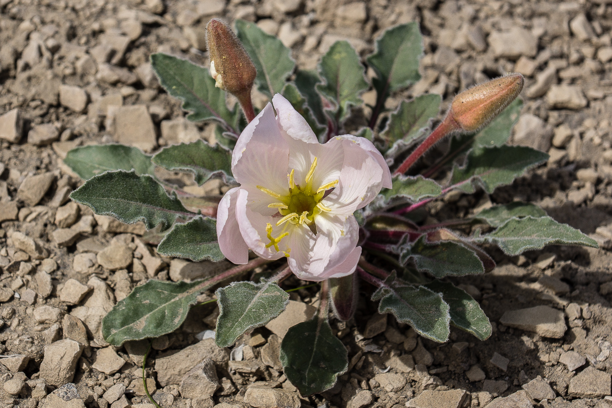
At a first glance the Blue Flats look hostile but it is life there:
_DSC0202_12.jpg

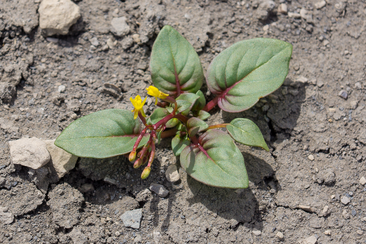
Dwarf Evening Primrose (Oenothera caespitosa)
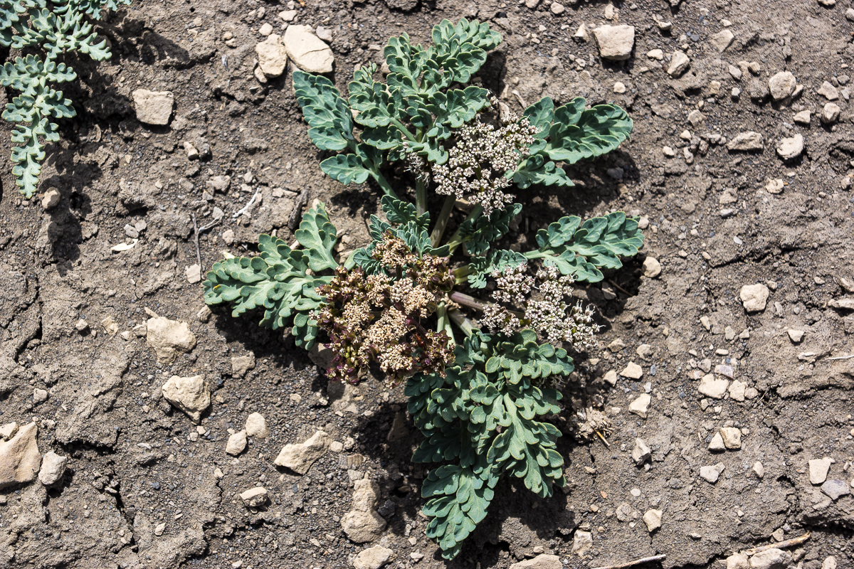
_DSC0204_12.jpg

Parsley

_DSC0205_12.jpg

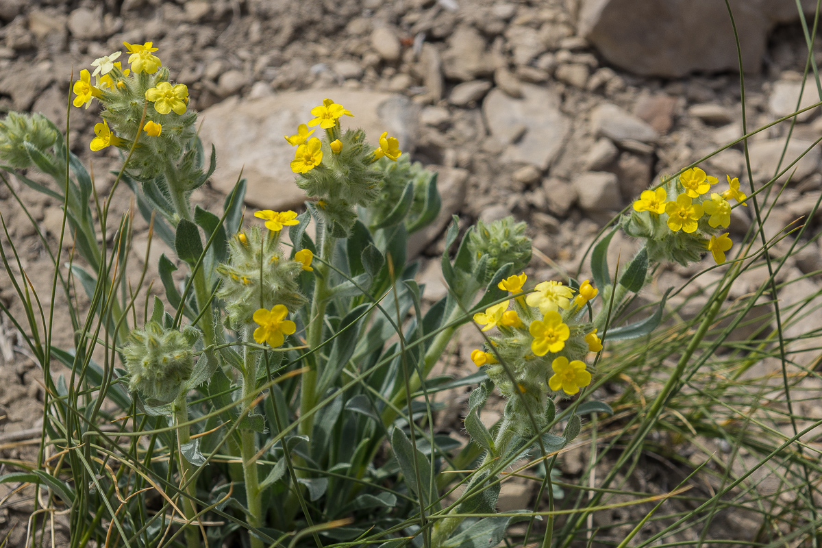
Another species

_DSC0206_12.jpg

Unknown to us

_DSC0208_12.jpg

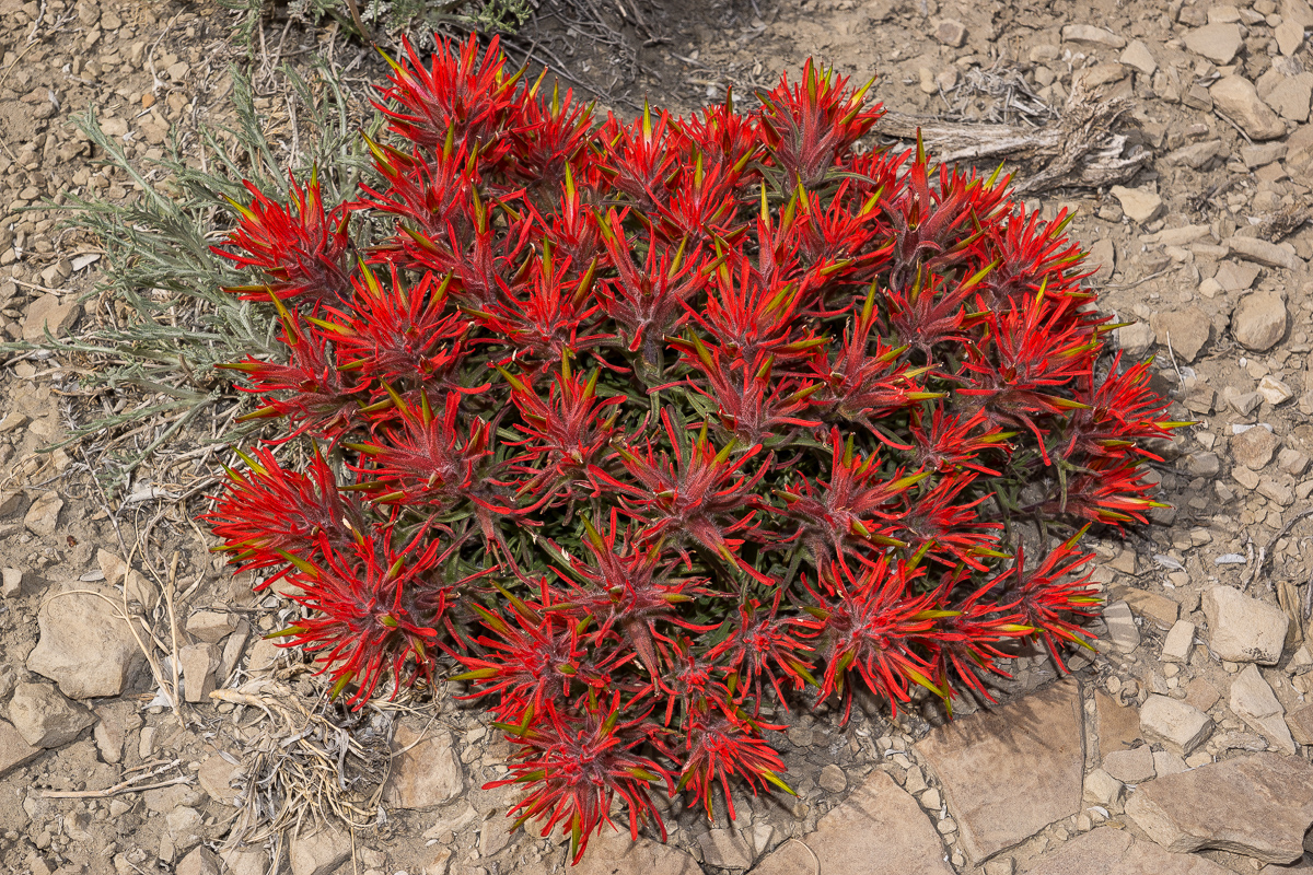
Desert Paintbrush (Castilleja chromosa)
_DSC0209_12.jpg

Another unknown plant

_DSC0212_12.jpg

Fremont's Mahonia (Mahonia Freemontii)
_DSC0213_12.jpg

Dwarf Evening Primrose (Oenothera caespitosa)
DSC00025_12.jpg

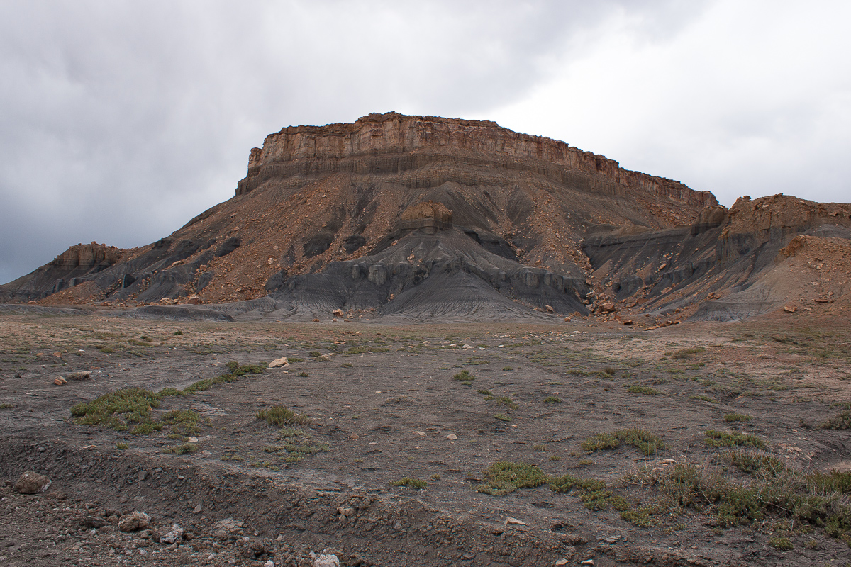
Southern end of Mesa Butte

DSC00026_12.jpg

Debris flows

_DSC0214_12.jpg

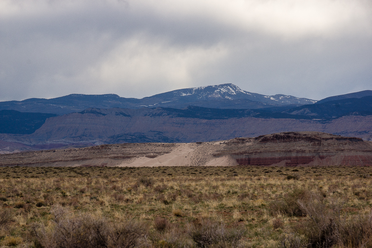
Still snow on the mountains

Next part to come: Lone Tree Wedge.
 

mph

Expedition Leader
I can't seem to see the pictures...But, you found the goods:) I was just in the area for 2 weeks. Pretty nice! Glad you enjoyed!
 

hatchcanyon

Lancisti
Coming from Blue Flat and Mesa Butte we decide to head in an eastern direction at 12S 0485090 4285470. Two Miles farther - 12S 0487750 4285730 - this road turns north towards Lone Tree Crossing but we use a smaller trail to the east.

The trail is not especially difficult nor is the landscape impressive. Some views show Cedar Mountain and some smaller volcanic features.

_DSC0216_12.jpg

Cedar Mountain in a distance of 8 Miles, some volcanism

_DSC0218_12.jpg

We trust our USGS Maps and learn that the Butte far left is Factory Butte, but not the famous one near Hanksville

DSC00029_12.jpg

Contrary weather over Willow Springs Wash Badlands

In a short distance from the picture spot above the only dubious spot of the trail appears. A short, relatively steep and sandy decent into a small wash with an additional sharp turn. Downhill no problem but how about uphill? (There might be another faint trail leading onto the road to Lone Tree Crossing - we didn't test this one.)

One and a half Mile to the East the trail approaches Muddy Creek. Take the left spur at 12S 0492736 4284862. It ends up above the canyon where Muddy enters the Swell.

DSC00032_12.jpg

Muddy Creek Canyon (upstream) The deep cut on the other side is the mouth of Poncho Wash

DSC00031_12.jpg

Muddy Creek Canyon (downstream)

_DSC0220_12.jpg

Watch your step!

Blossoms too:

_DSC0219_12.jpg

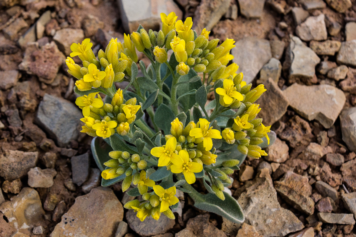
Newberry's Twinpod

_DSC0228_12.jpg

Sclerocactus parviflorus (?)

Driving back to the main trail and to the left leads to another view point. Distance is a little more than a Mile. Lacking a name we call it Willow Springs Wash Overlook.

DSC00043_12.jpg

High above the confluence of Muddy Creek (left) and Willow Springs Wash (right)

DSC00044_12.jpg

The last "Big Bend" of Willow Springs Wash

DSC00049_12.jpg

Willow Springs Wash Canyon

DSC00045_12.jpg

Slaughter Slopes and Cedar Mountain

_DSC0241_12.jpg

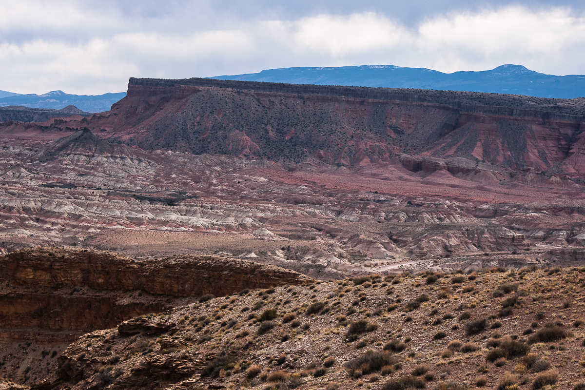
Muddy Creek Canyon - Tomsich Butte and dark red Hondo Country in the background

(The German long version of this travel report)
 
Last edited:

hatchcanyon

Lancisti
Heading back from Lone Tree Wedge we decide to stroll through the area for another two hours or so. At first we were heading to Mussentuchit Flat and going South to Cedar Mountain. Years ago we visited some point on the south end above Chimney Canyon where a trail starts down into the Chute.

Our maps (we use electronic topomaps on a notebook) showed a jeep Trail maybe 5 Miles long north of East Cedar Mountain. It ends on top of a cliff line and we thought there might be some views. Chimney Canyon Wash is more than 1,200 Feet below.

The area is called Slaughter Slopes and it is said that the name sticked to it after a large hunt for wild horses in the 1930ies.

Lets start with some pictures from the Mussentuchtit Flat.

DSC00054_12.jpg

Hebes Mountain and the Upper Willow Spring Wash Badlands

Its easy to see that the strata is rising eastward to the middle of the Swell, but the grade is much less than on its eastern side - the reef! Hebes Mountain is capped by a resistant sill of cooled down volcanic material. More volcanic features can be seen around Cedar Mountain.

_DSC0242_12.jpg

Grey in Grey - rocks and sky

_DSC0248_12.jpg

Mussentuchit sand dune

_DSC0250_12.jpg

East Cedar Mountain

_DSC0251_12.jpg

More sills and a volcanic neck at West Cedar Mountain

DSC00079_12.jpg

Debris from the sill

_DSC0254_12.jpg

East Cedar Mountain again

DSC00062_12.jpg

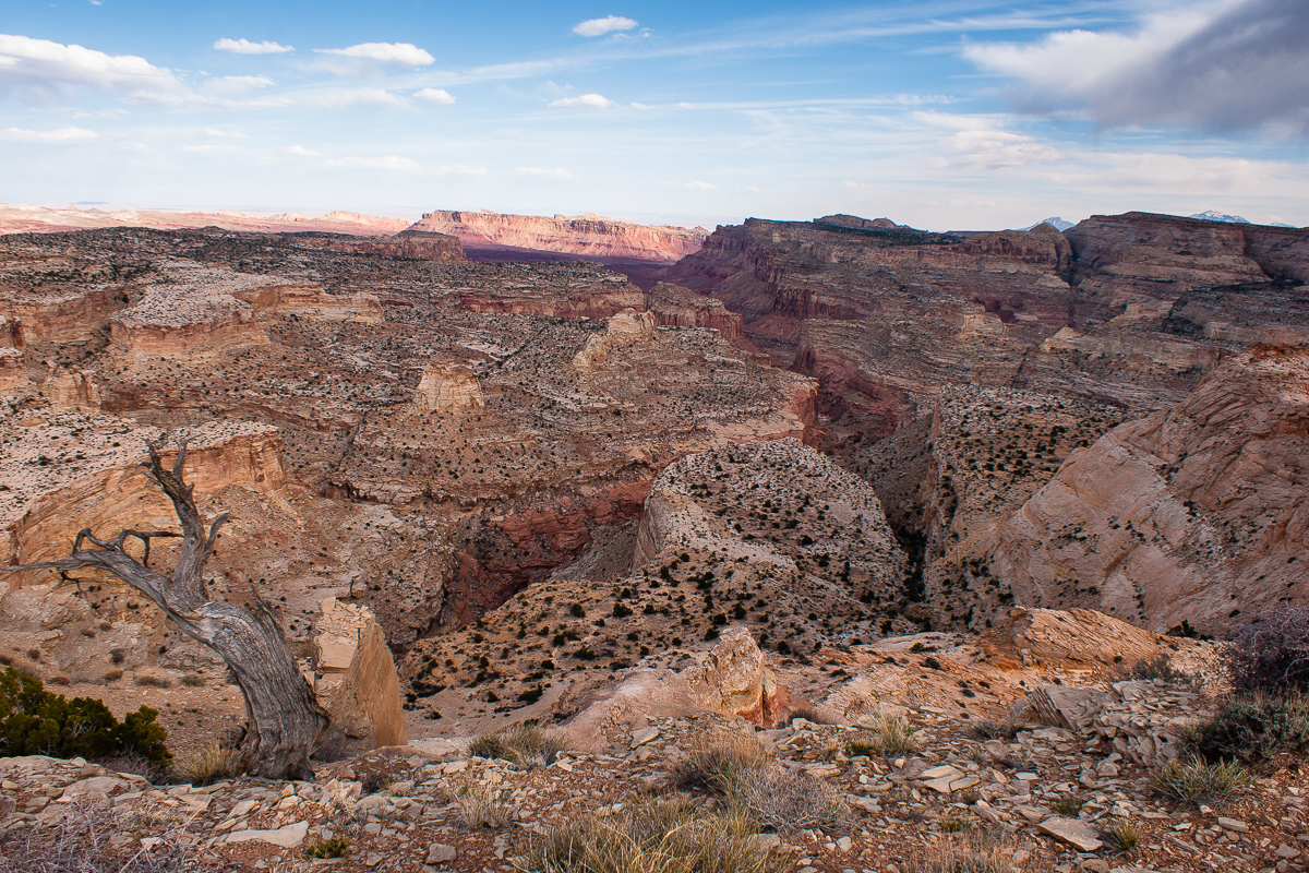
On a view point high above Chimney Canyon

Coordinates: 12S 0496420 4275710

DSC00058_12.jpg

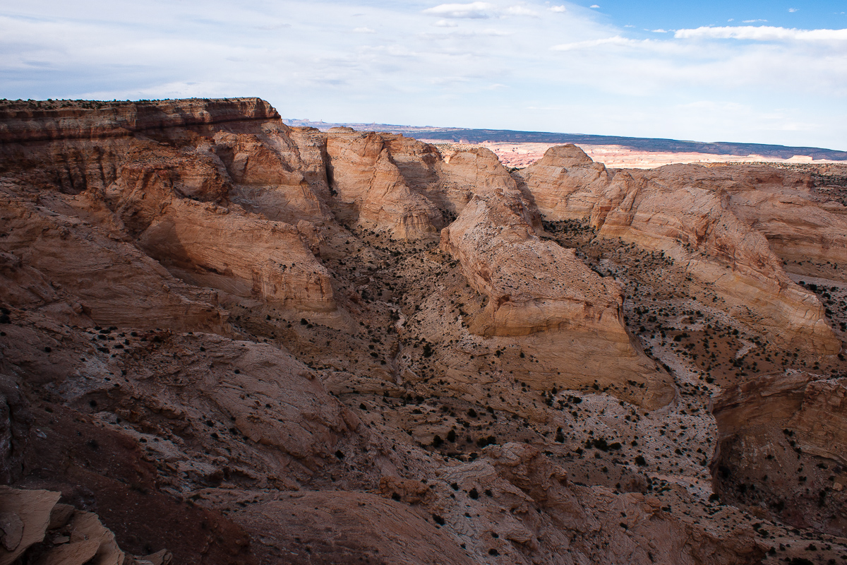
Chimney Canyon

DSC00059_12.jpg

Our maps read "Johns Hole"

The trail runs along the rim in a northeastern direction. The maps don't show it anymore but it is still not too difficult to follow. We haven't explored it the whole lenght. (I guess it ends above the headwater of Ireland Mesa Canyon.)

After a little bit more than a mile we decided to stop, take some more pictures and later return to I 70 and Moab. It is 6:30 pm.

DSC00063_12.jpg

Tomsich Butte and Hondu (Hondoo?) Country

DSC00074_12.jpg

Using a "long" lens shows the top of Hondu Arch

DSC00068_12.jpg

Suddenly some sunshine in the evening

DSC00066_12.jpg

Looking back to Chimney Canyon

Next part of the same trip:

On the right the rim the trail follows to the northeast.

_DSC0261_12.jpg

Muddy Creek Canyon, Factory Butte and the Henry Mountains in an distance

DSC00069_12.jpg

Muddy Creek Gorge through the Reef

The dumps from the infamous Delta (Hidden Splendor) Mine can be seen. Years ago we travelled the gorge several times by car (SUV).

Locals call the mine "Odlum's Hidden Blunder".

DSC00070_12.jpg

Zoomed in: Black Beauty Factory Butte

DSC00072_12.jpg

Red Dot below the rim

Flowers we found:

_DSC0258_12.jpg

???

_DSC0260_12.jpg

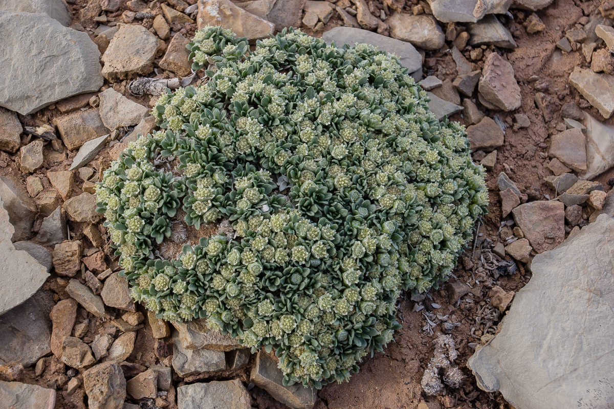
Newberry's Twinpod

_DSC0271_12.jpg

Phlox?

_DSC0272_12.jpg

Showy Stoneseed(?)

DSC00078_12.jpg

A last view in evening light over Chimney Canyon

We returned to the Interstate via Salt Creek Road entering the freeway at exit 108.
 
Last edited:

boyfester

Observer
Such beautiful land. I was in a small portion of the Swell a couple of weeks ago when we visited the Black Dragon petroglyphs.
 

Forum statistics

Threads
188,213
Messages
2,903,869
Members
229,665
Latest member
SANelson
Top