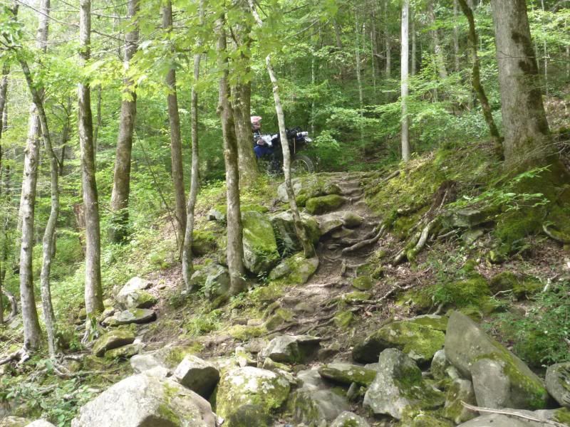
I will maintain this thread with my day / short multi-day trips around the East TN area. Much less exciting than some of the awesome trip reports here (out west especially) but that is the way it is around here. Gov't owned lands, and only limited access to them in / on a motorized vehicle. But I cannot complain, at least we have the opportunity to get out there...
.
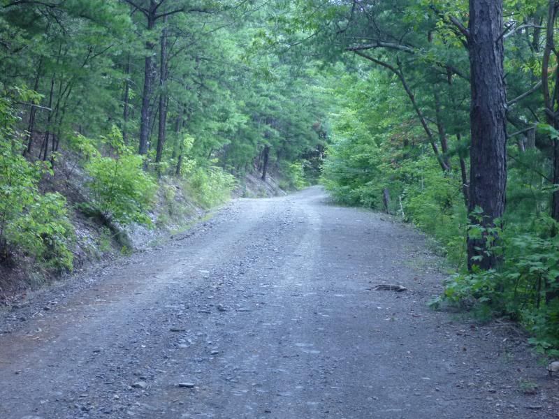
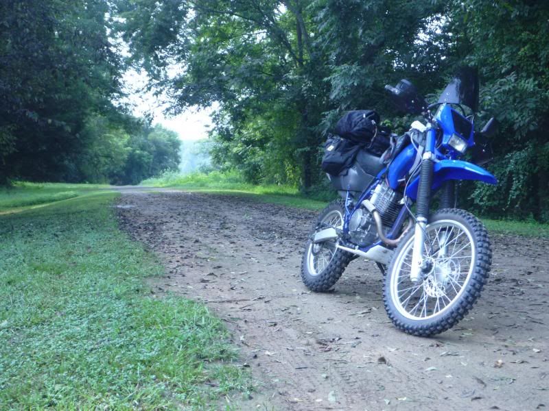
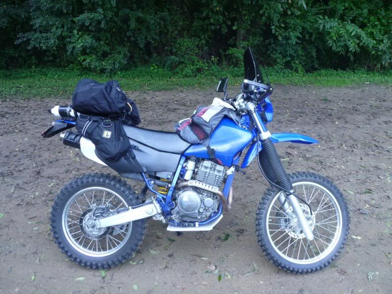
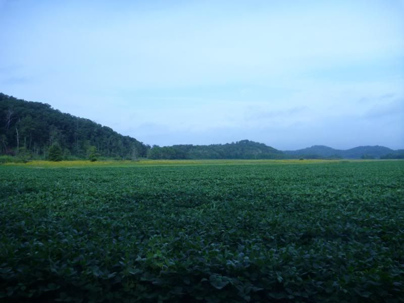
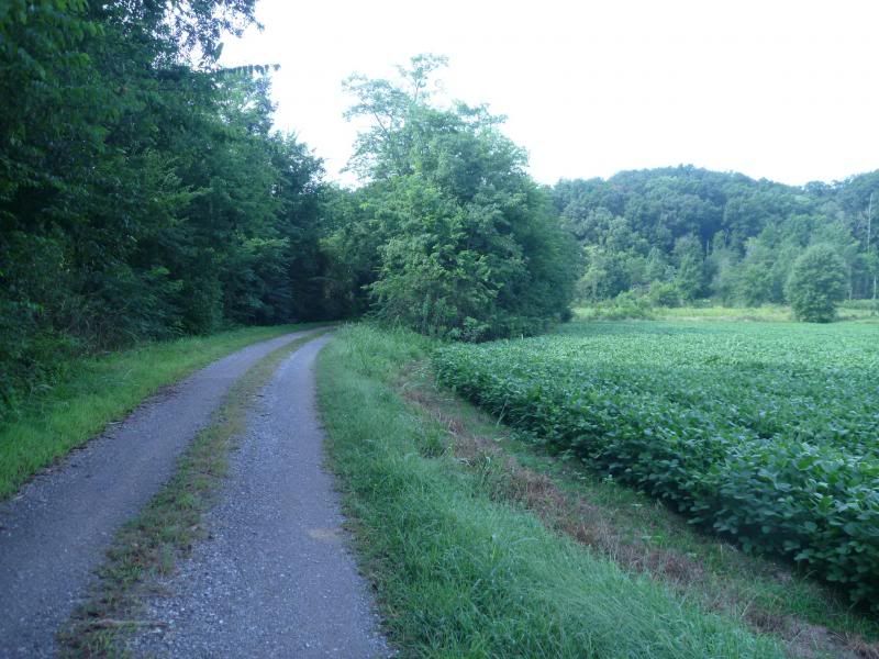
Today I took a short solo day trip on the TTR to and around the Citico Creek Wilderness. This is mostly gravel two-track. Unfortunately a lot of gates were closed around the area today, but the main loop was still open and it was nice to get out. Also stopped by Chota which is the area where there is a monument to the Cherokee and their capital Tanasi (from which the name "Tennessee" is derived). I didn't hike out to the monument today (I will sometime) but I wanted to explore some roads around the area today. Off of a government controlled path on the same peninsula that the monument is on is a large farm land spread. At the end of the road was a private family (Jones) cemetary where, from outside of the fence, I could not see a date of death later than the 1920's. A couple of children were laid to rest there also (1911-1913, and 1913-1916 I believe).
.
Anyway, onto the pictures.
.
.
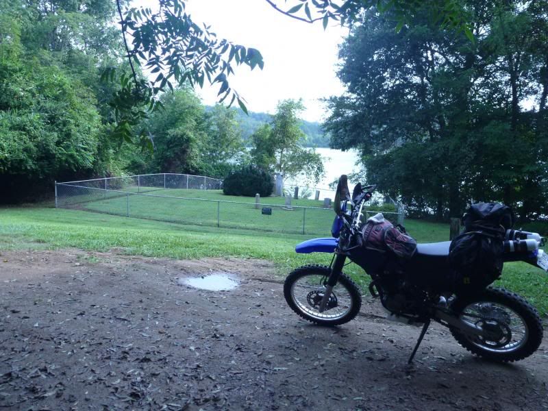
Graveyard:
.
.
.
.
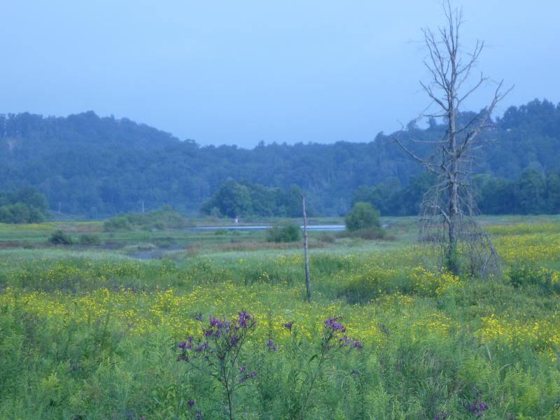
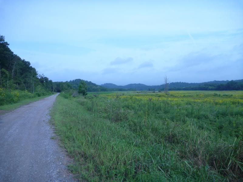
This farmland is on the Chota Peninsula on the Little TN River...you can see a small flooded inlet in the distance:
.
.
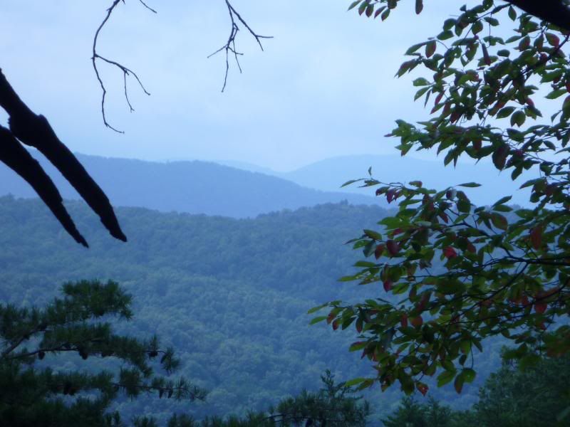
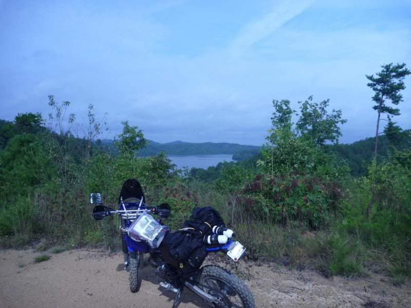
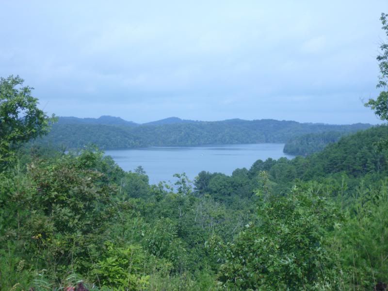
This is from a nearby mountain. You can see the river in the distance:
.
.
Moved this dude off the road:

.
Today I took a short solo day trip on the TTR to and around the Citico Creek Wilderness. This is mostly gravel two-track. Unfortunately a lot of gates were closed around the area today, but the main loop was still open and it was nice to get out. Also stopped by Chota which is the area where there is a monument to the Cherokee and their capital Tanasi (from which the name "Tennessee" is derived). I didn't hike out to the monument today (I will sometime) but I wanted to explore some roads around the area today. Off of a government controlled path on the same peninsula that the monument is on is a large farm land spread. At the end of the road was a private family (Jones) cemetary where, from outside of the fence, I could not see a date of death later than the 1920's. A couple of children were laid to rest there also (1911-1913, and 1913-1916 I believe).
.
Anyway, onto the pictures.
.

.
Graveyard:

.

.

.

.
This farmland is on the Chota Peninsula on the Little TN River...you can see a small flooded inlet in the distance:

.

.
This is from a nearby mountain. You can see the river in the distance:

.

.
Moved this dude off the road:

Last edited:

