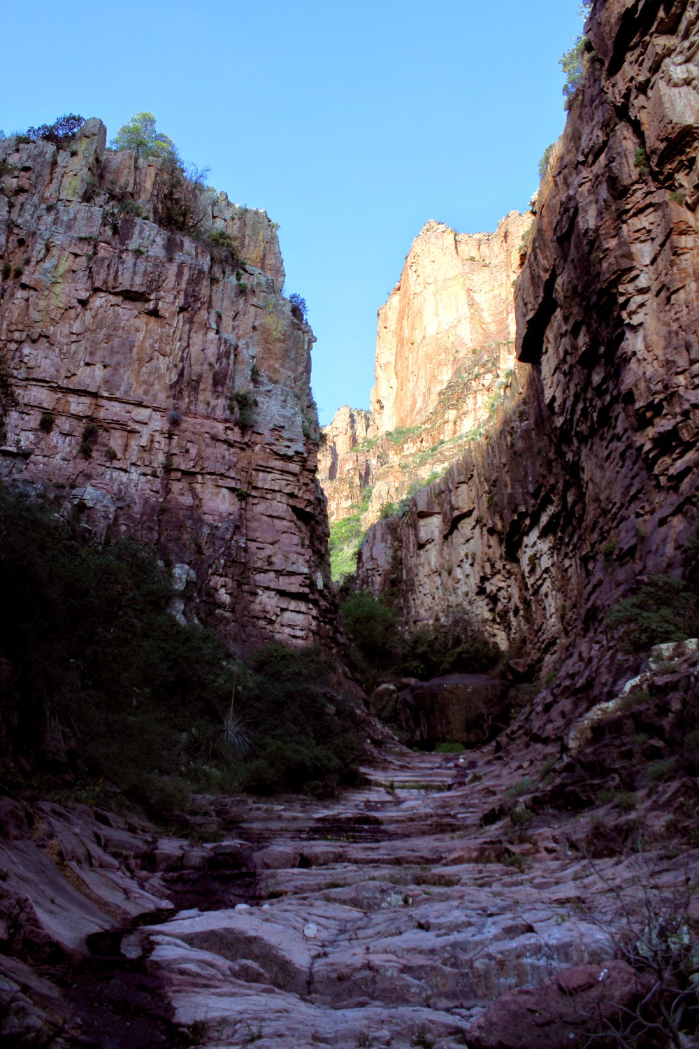
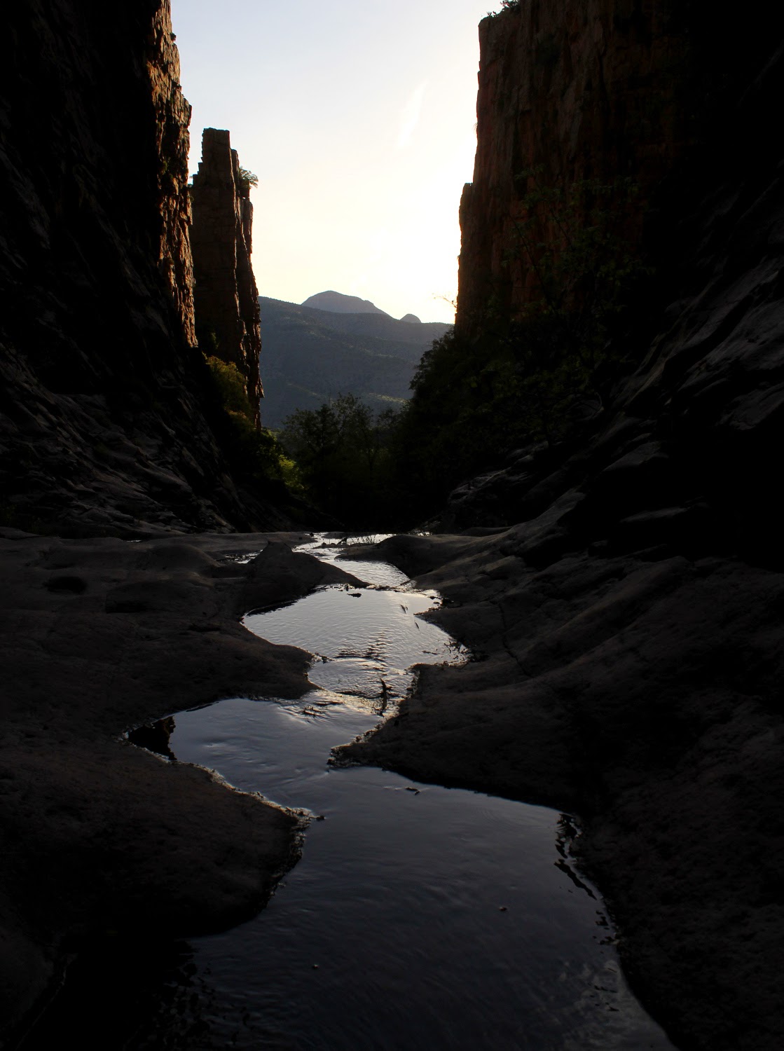
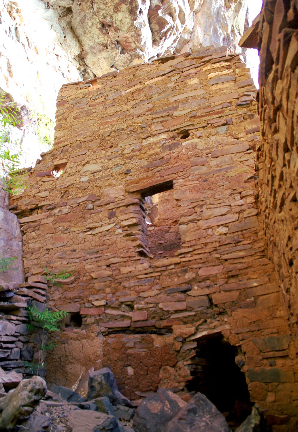
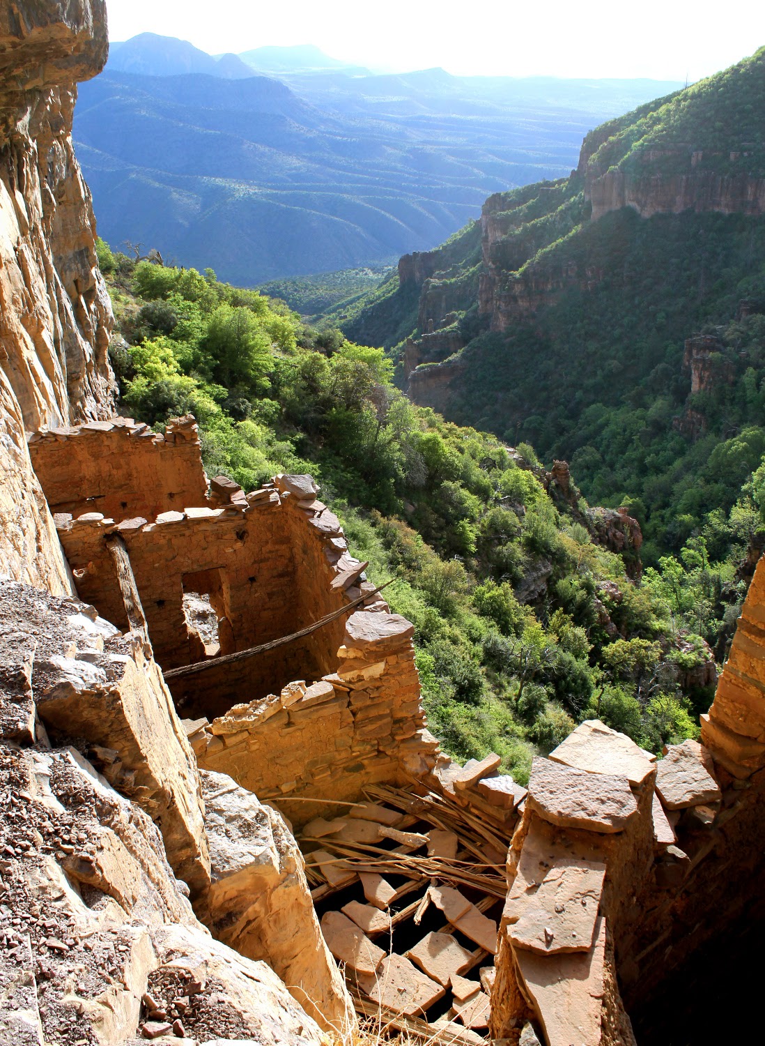
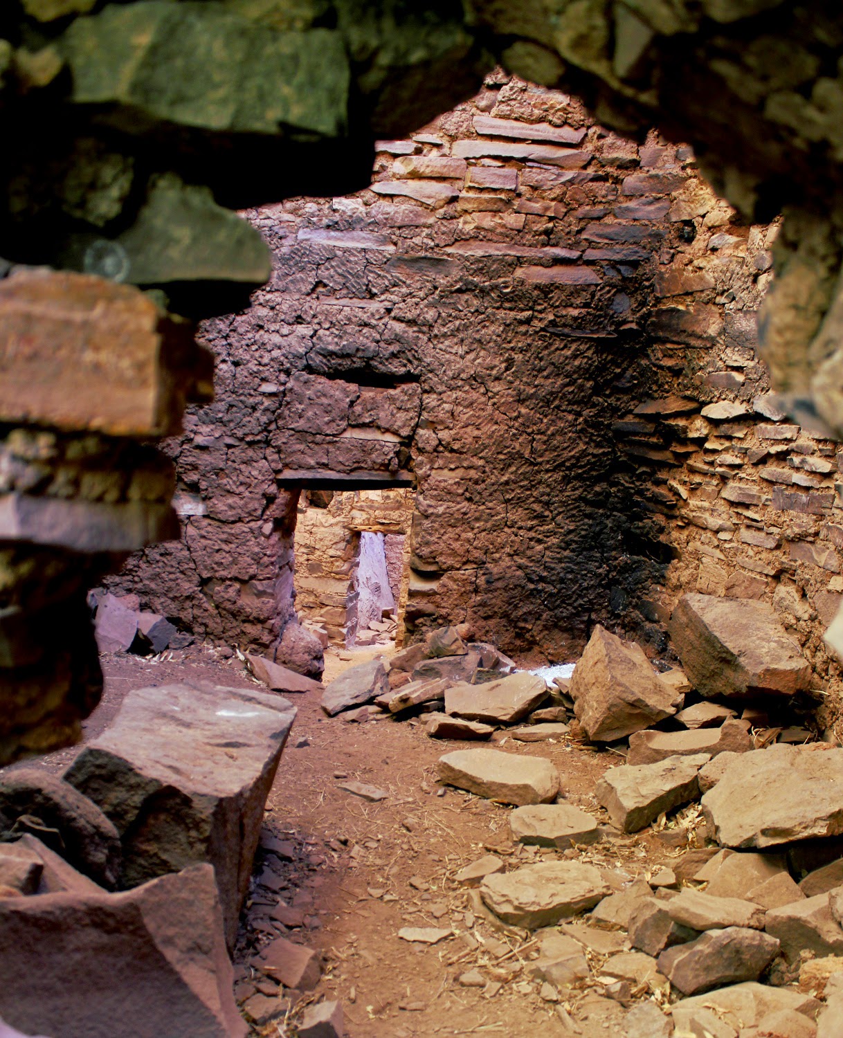
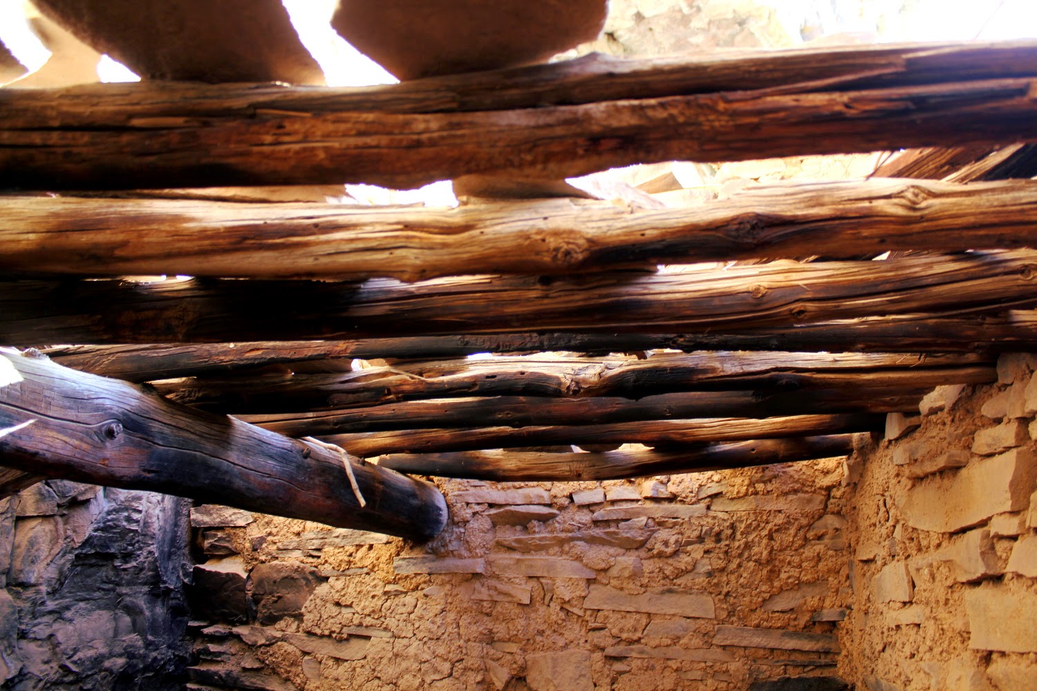
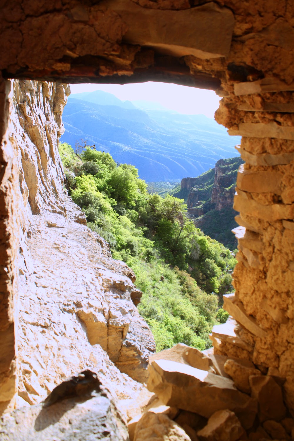
Spent four days in the Sierra Ancha area, exploring the deserts, the forests, the canyons, and the ruins. One of my favorite places yet in Arizona.
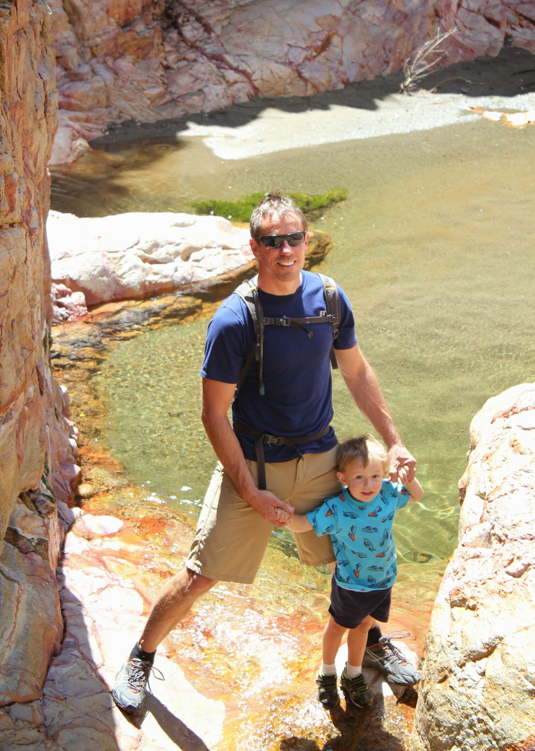
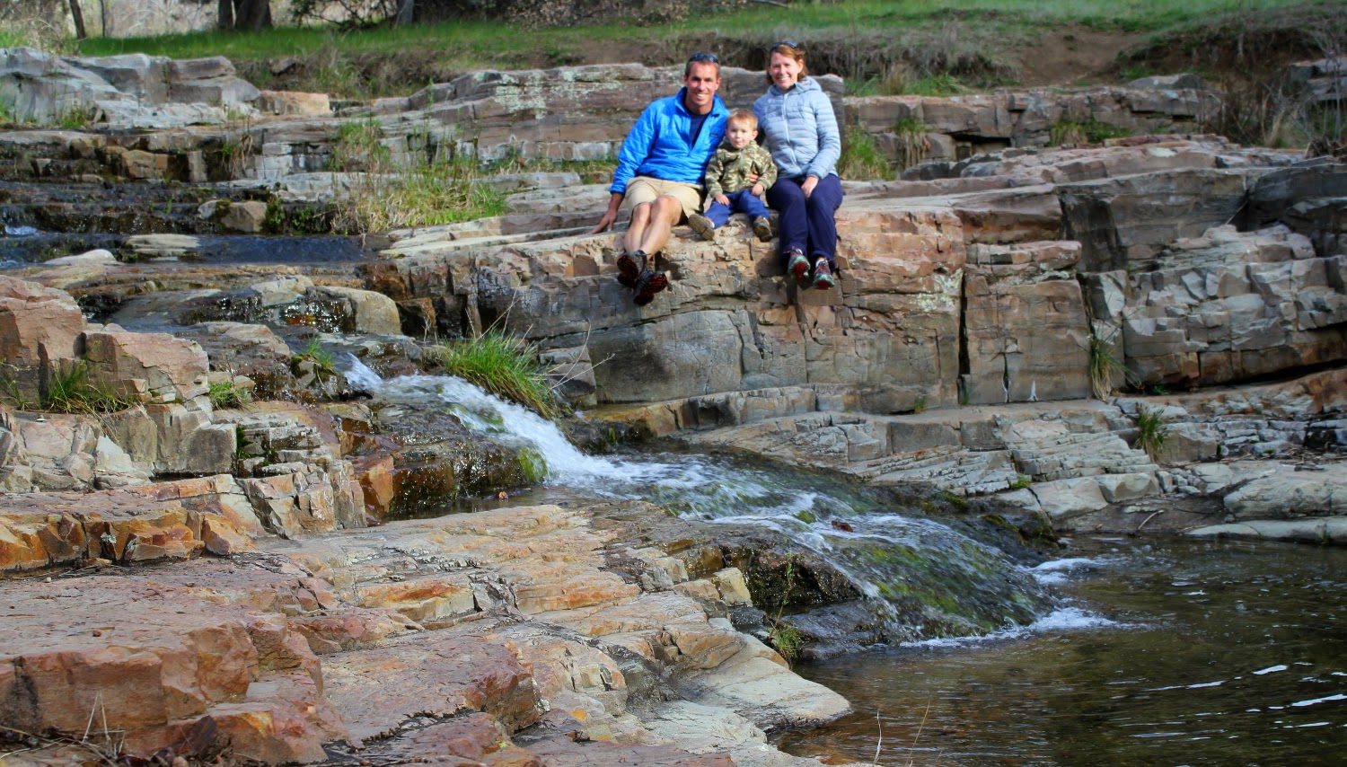
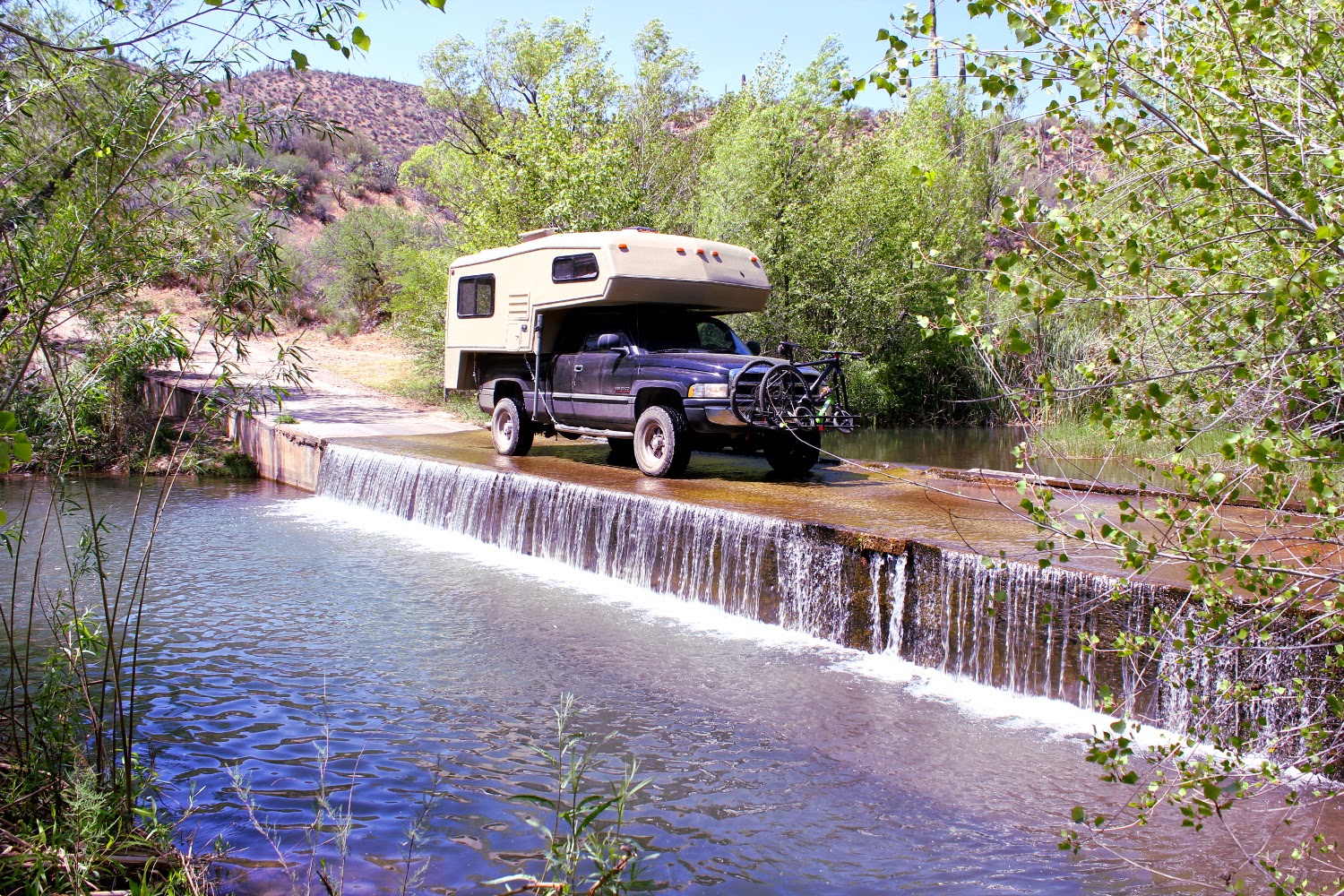
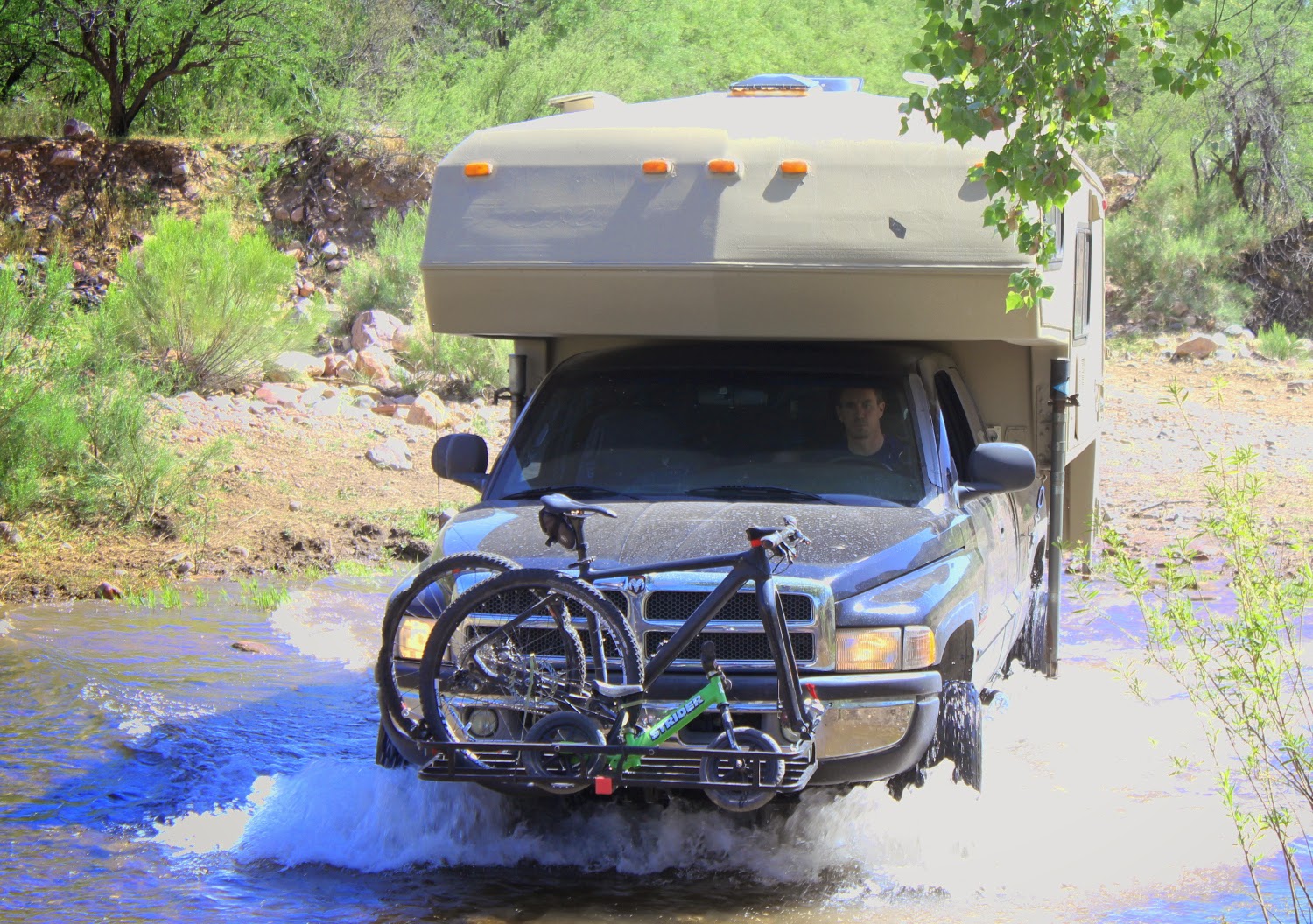
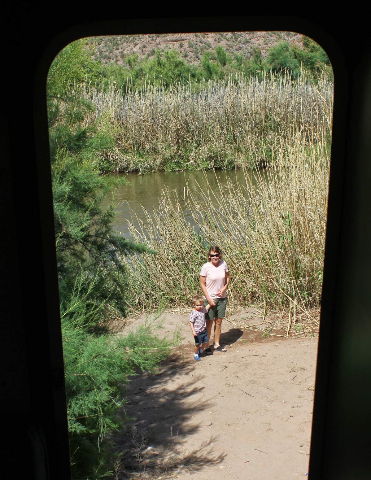
Race out of Chandler at 9:00am to escape this over populated sea of humanity and stop at the Upper Salt for lunch.
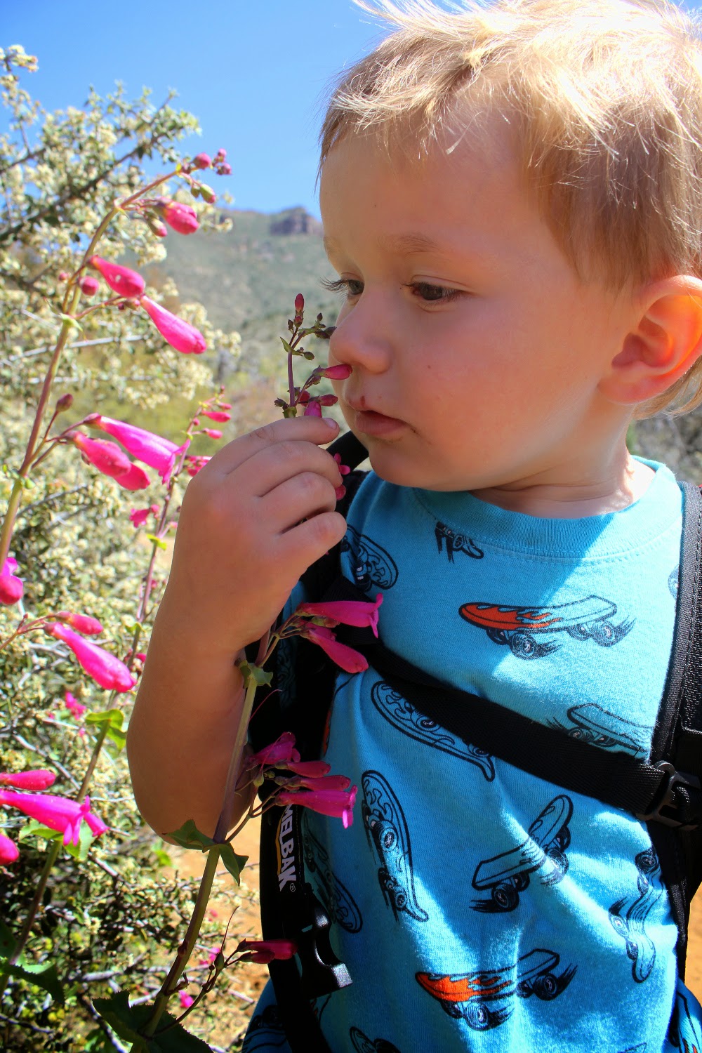
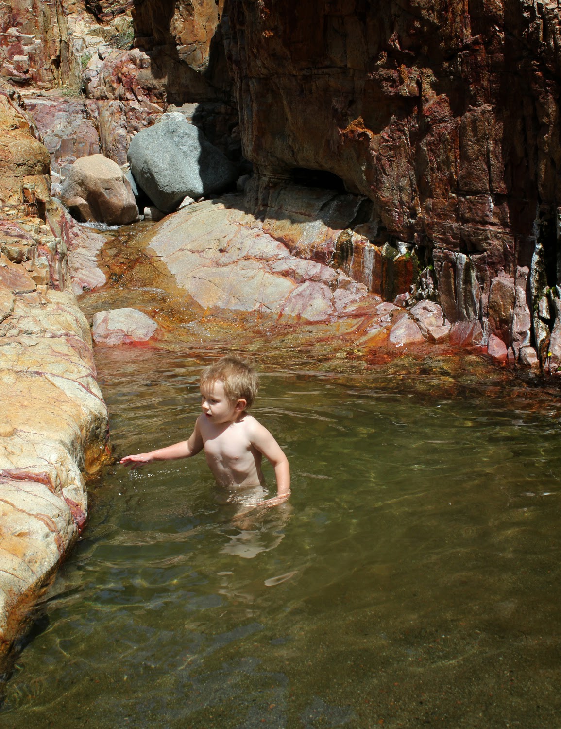
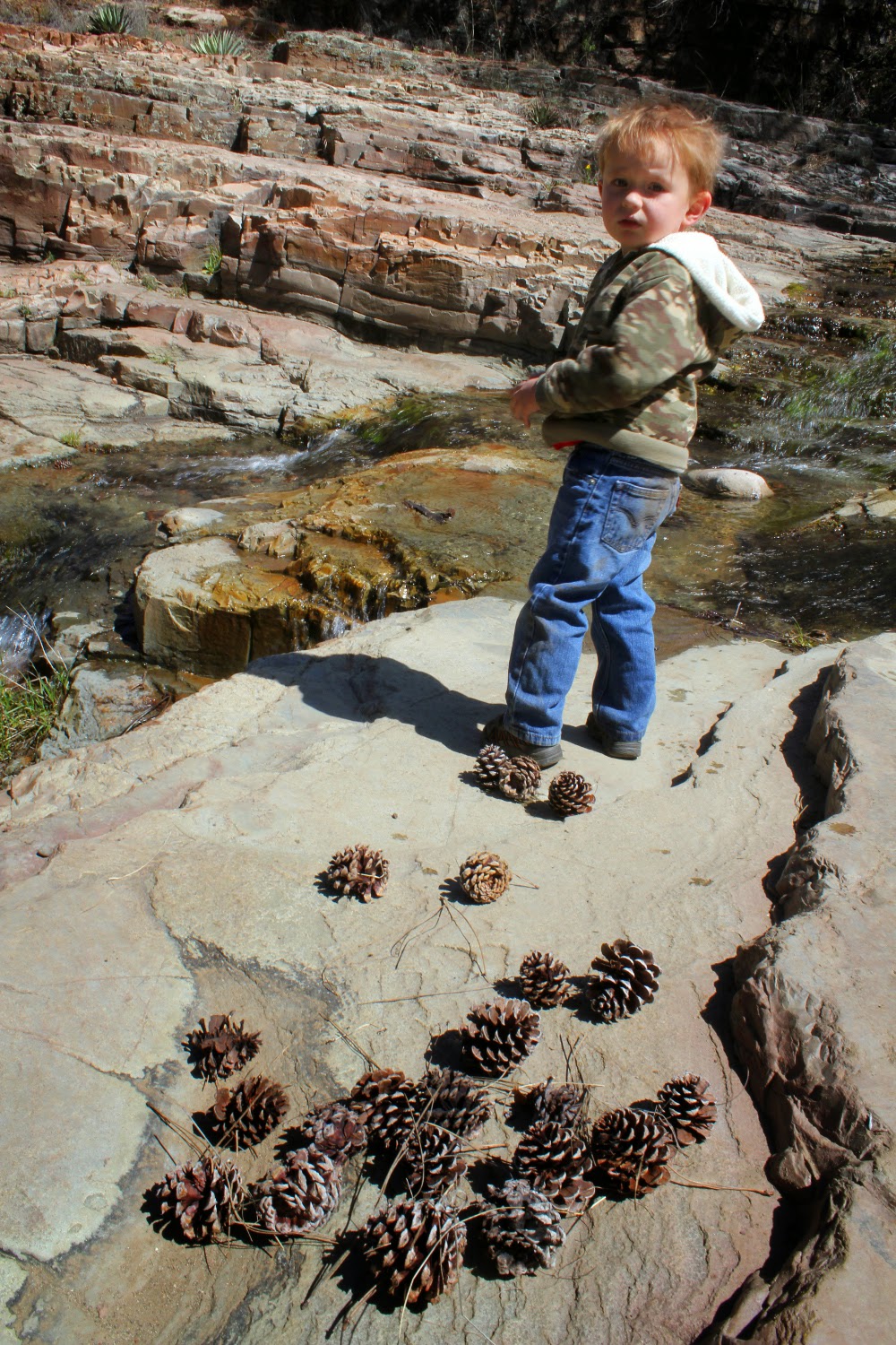
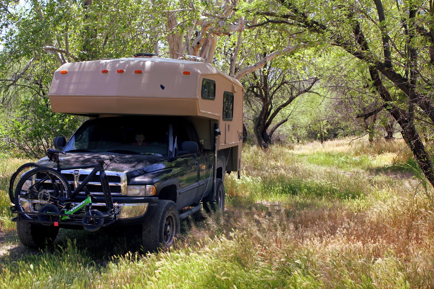
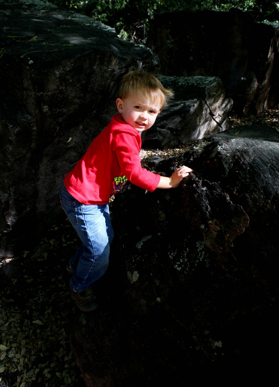
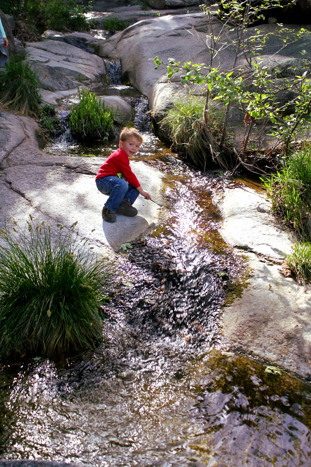
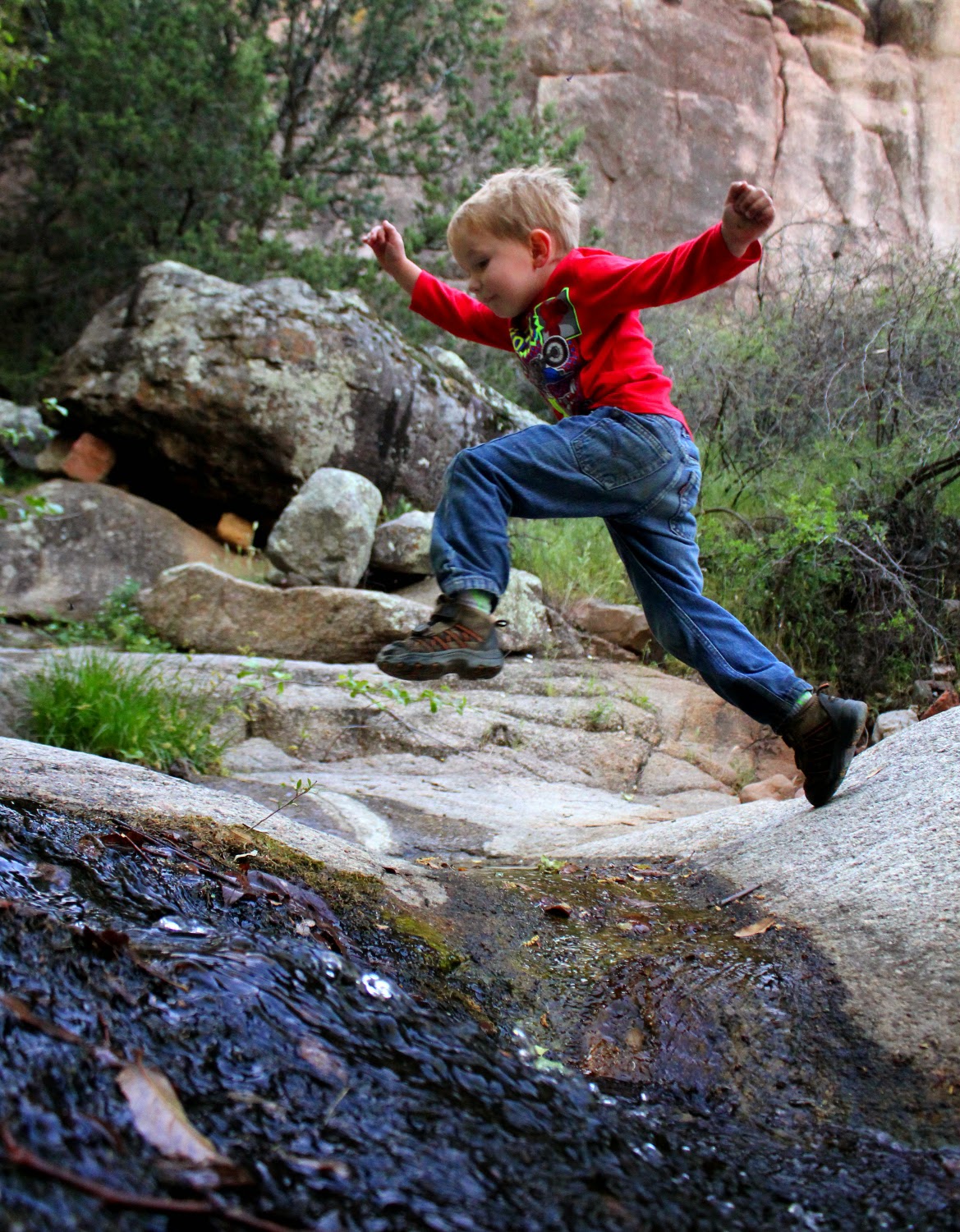
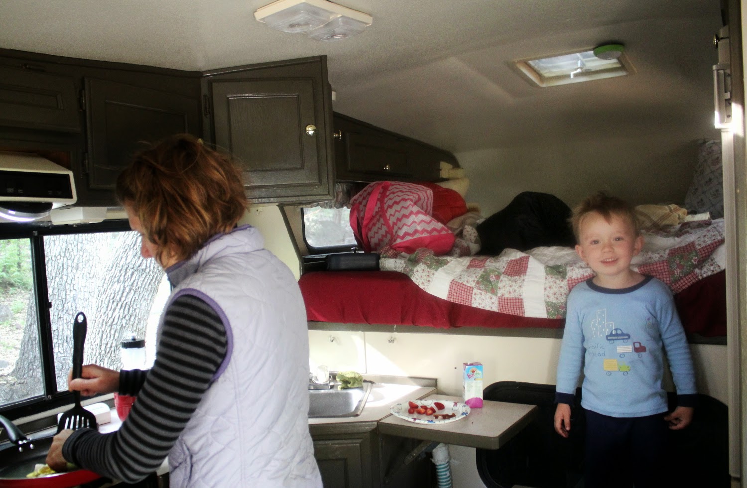
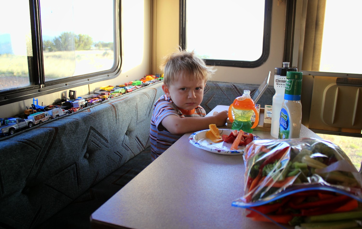
Promptly get dirty to piss mom off.

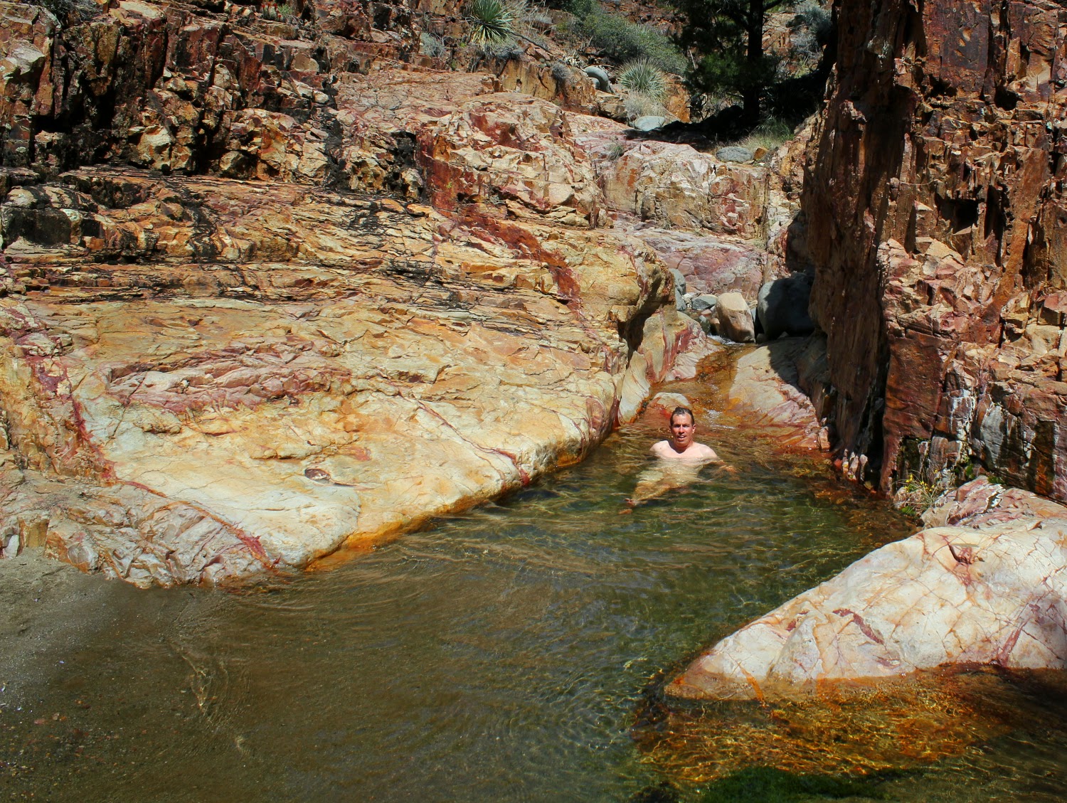
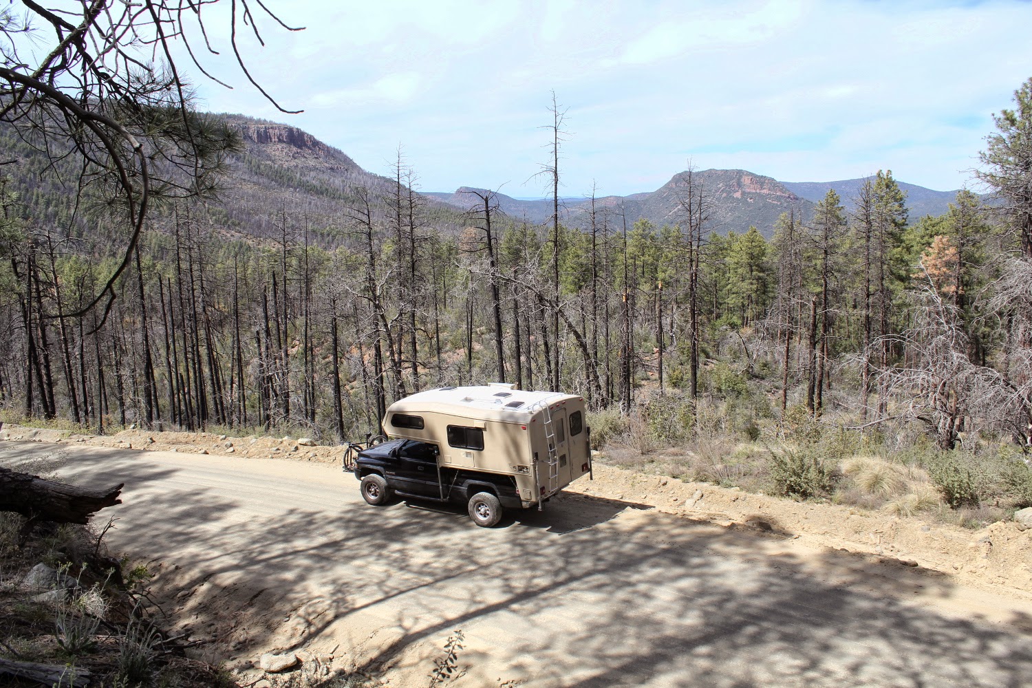
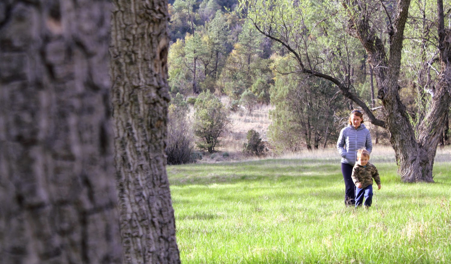
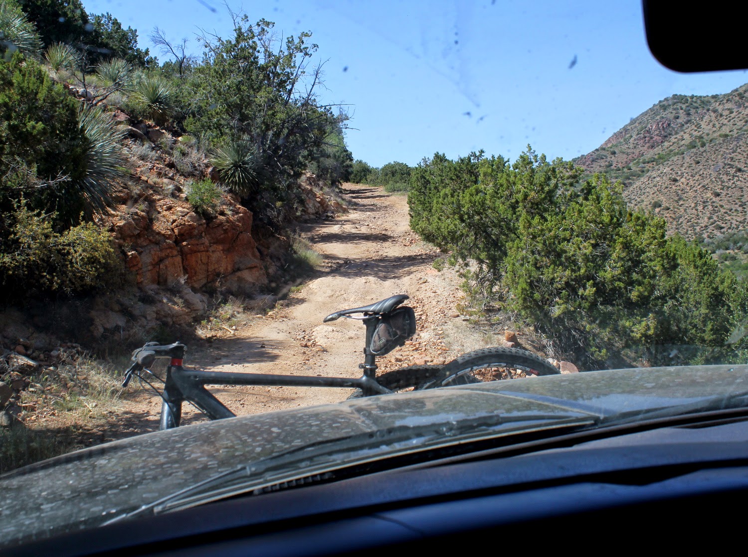
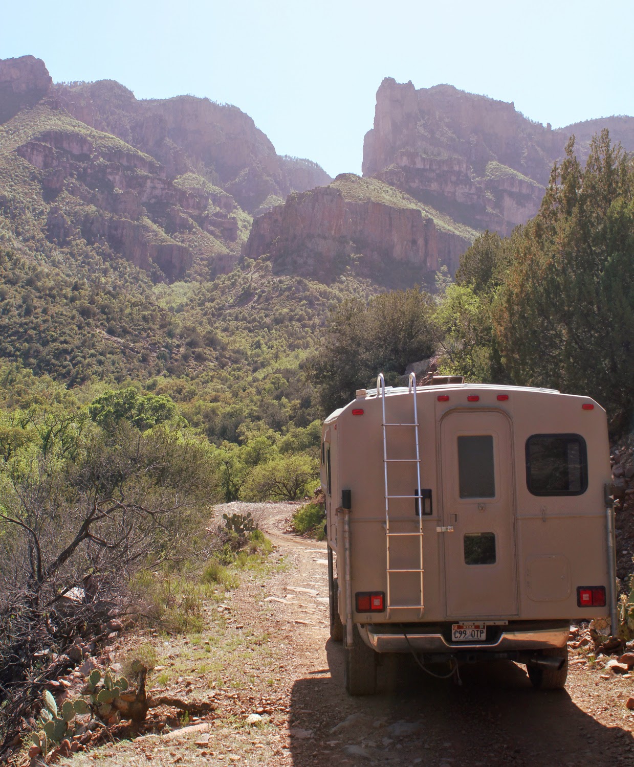
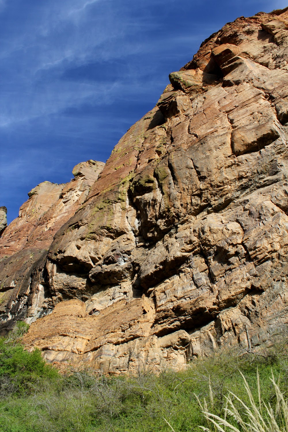
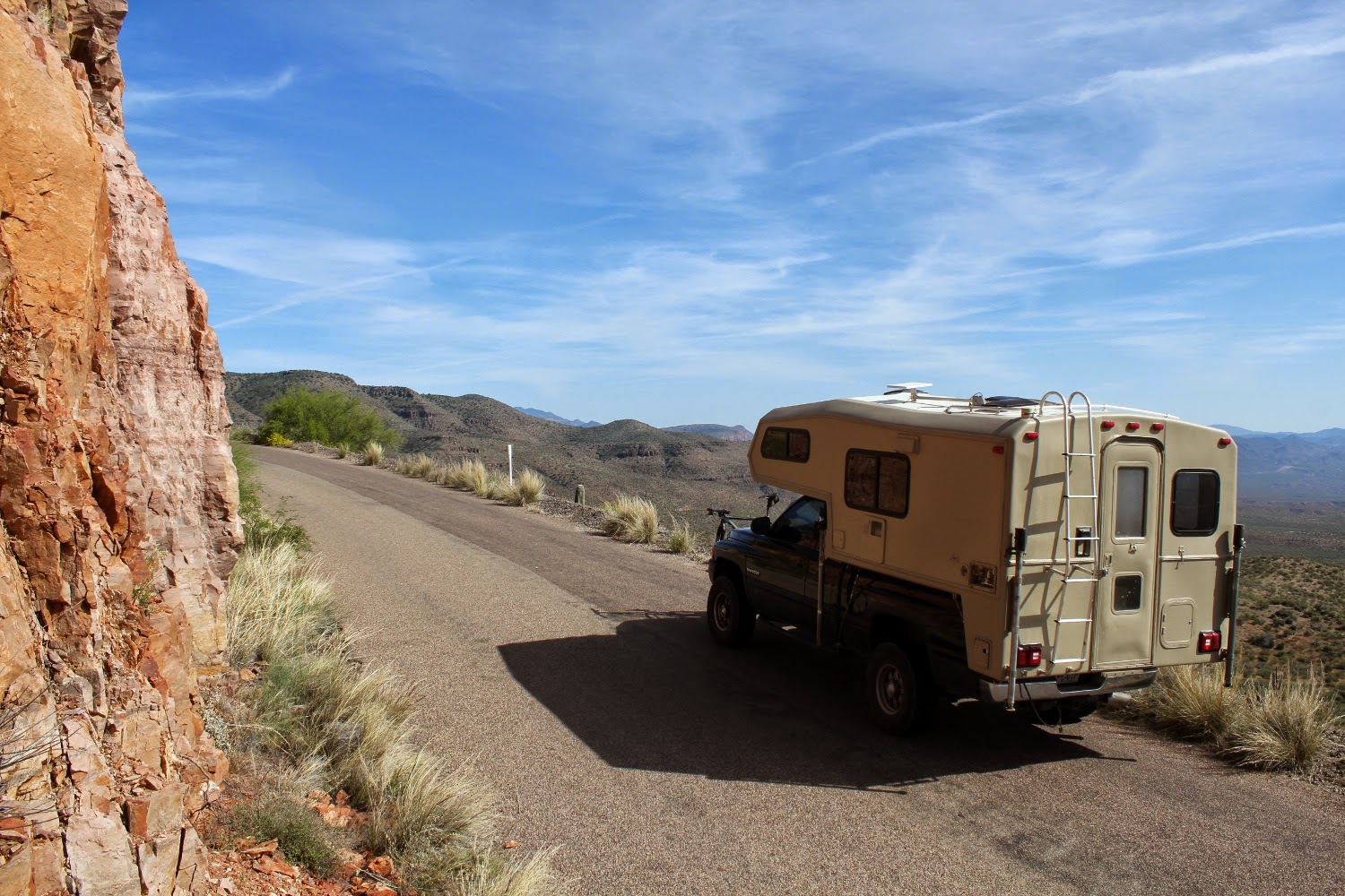
Then head for higher ground and cooler temps.
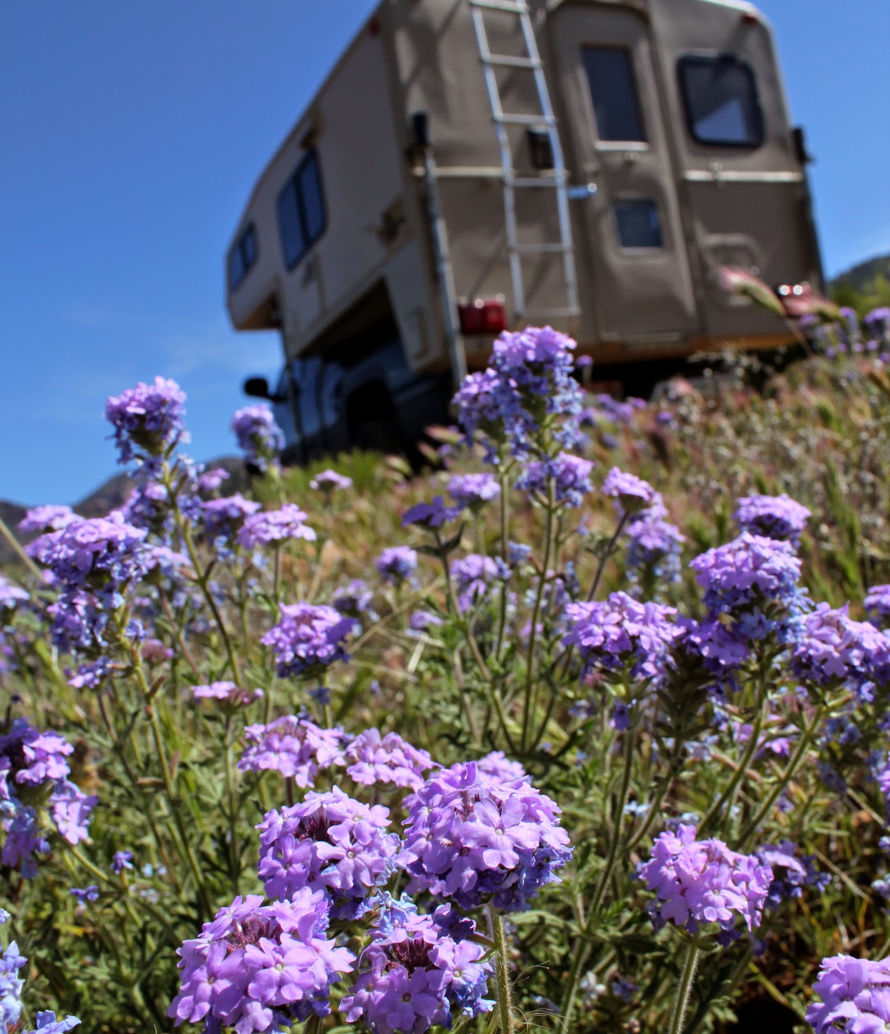
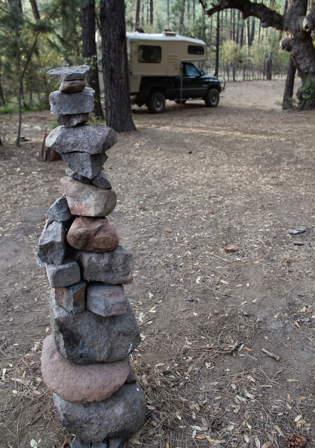
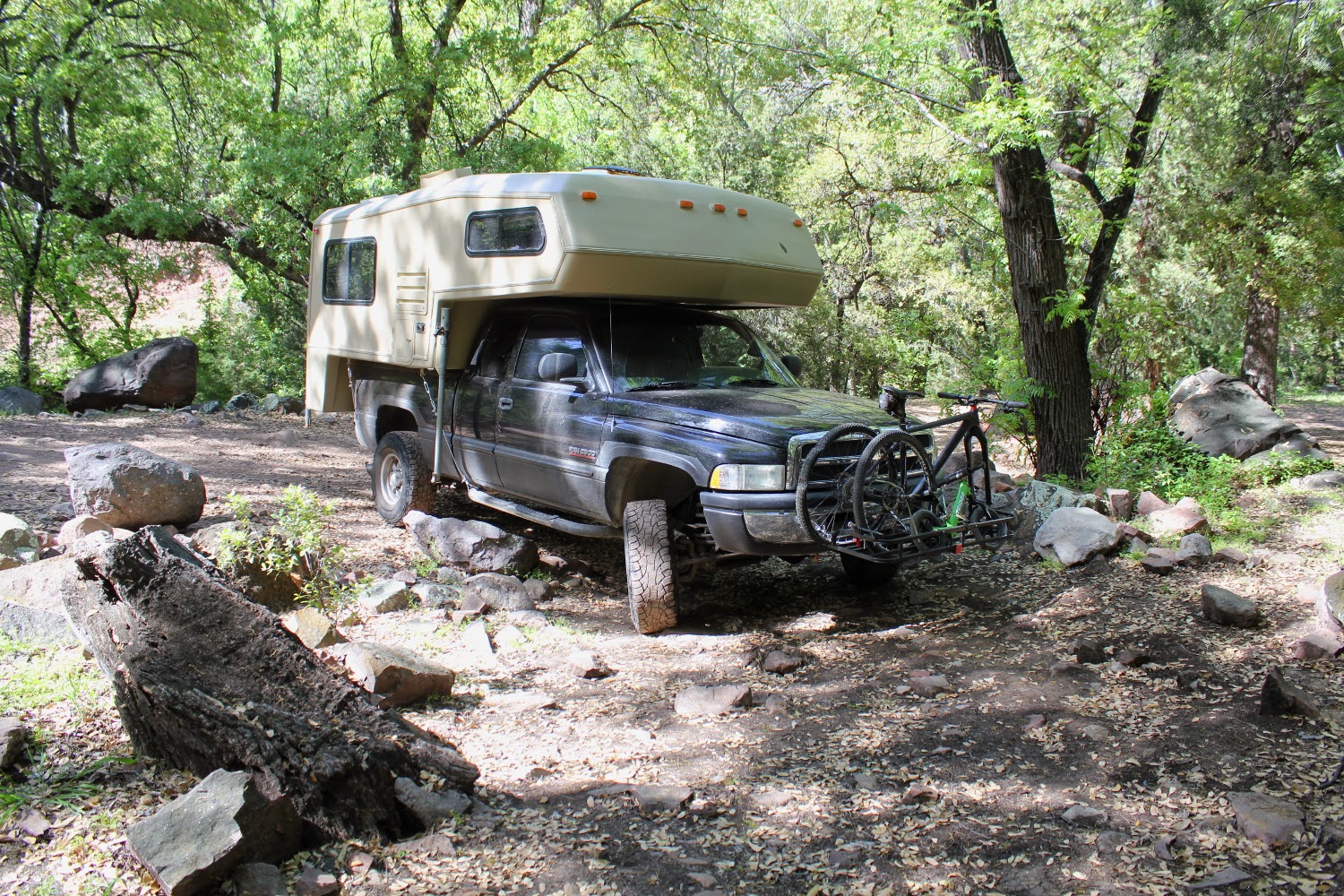
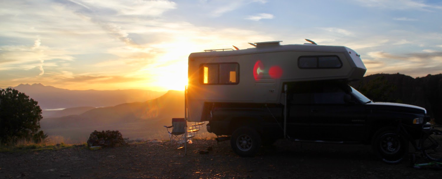
Then to our campsite for the night. There was a 4wheel camper on a white 2500 that left after lunch, then a nice sportsmobile overnight. But we never saw them, they were hiding in lower terrain.

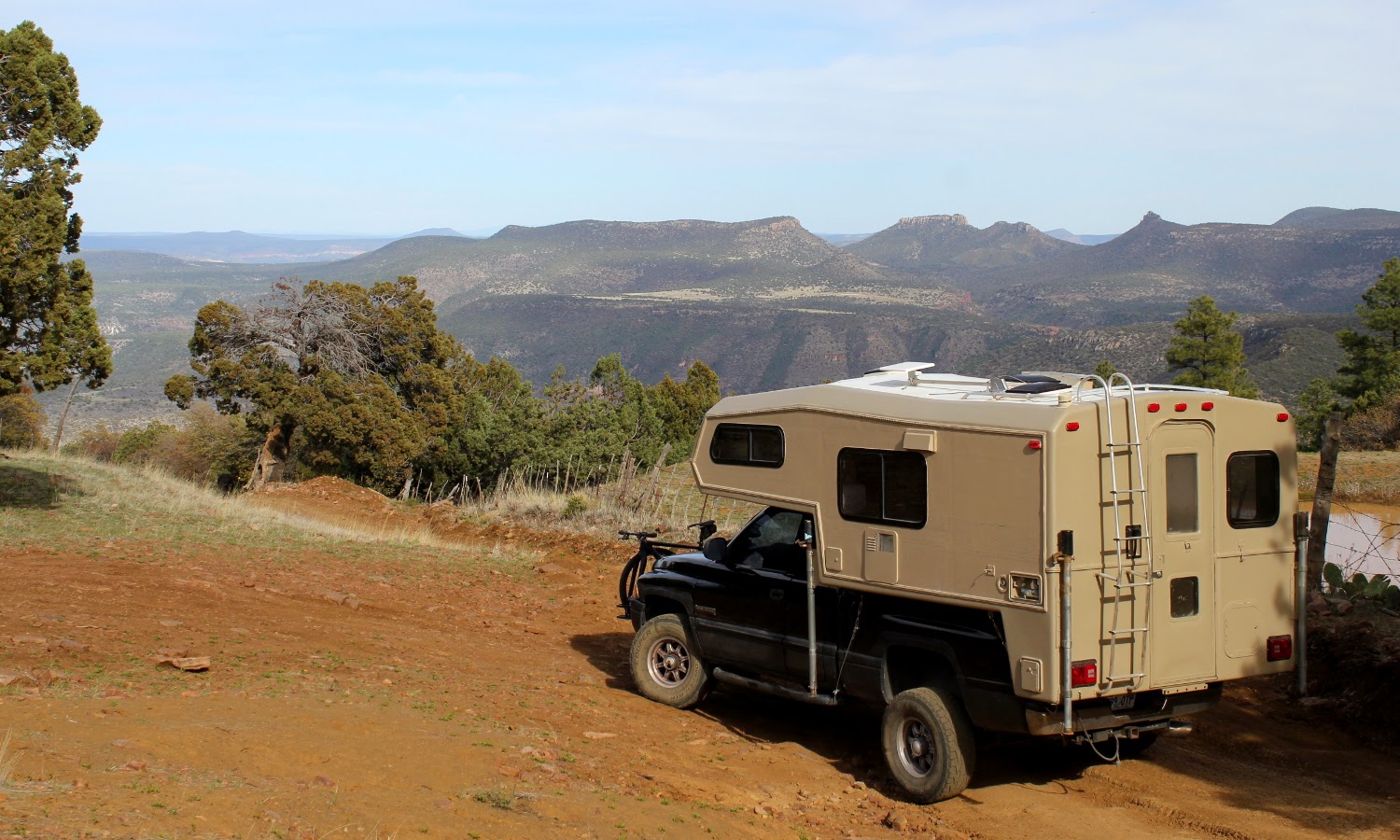
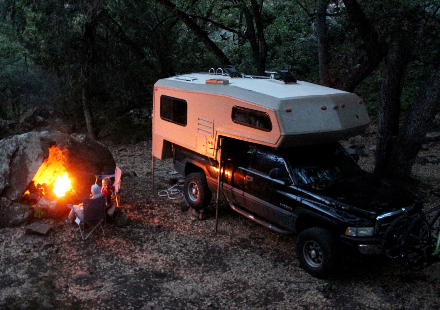
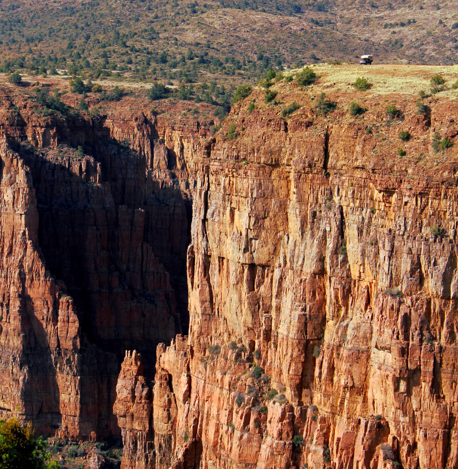
Hard to beat where you can camp in a TC! Looke closely.Large version clicky here
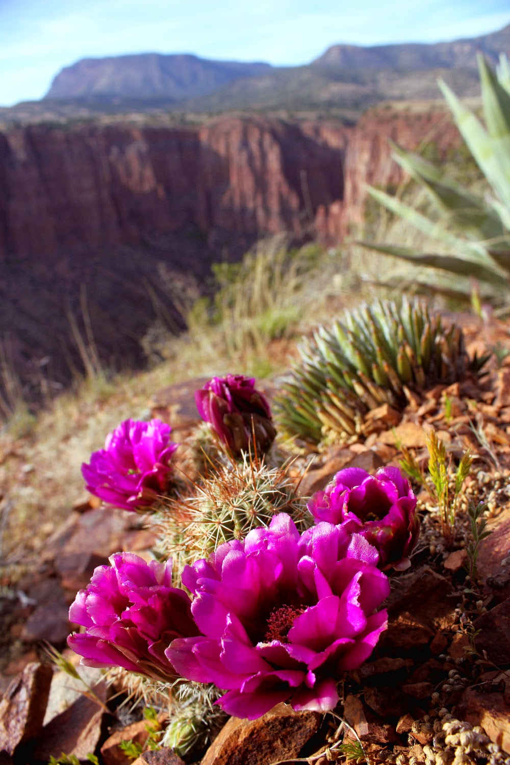
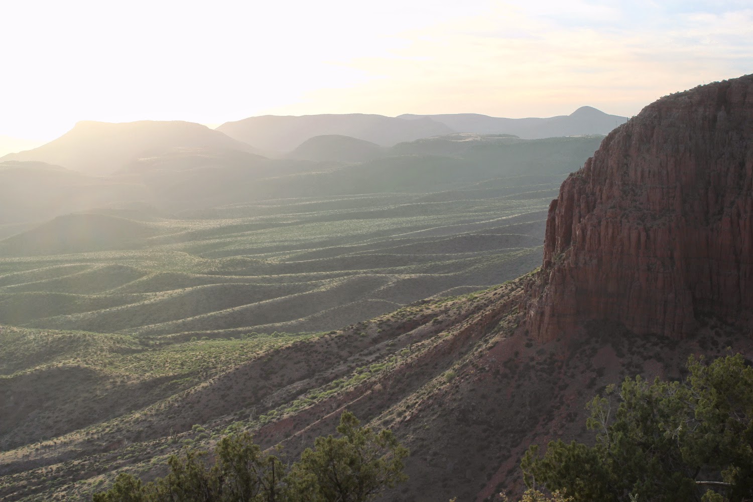
Hedgehog over the canyon.
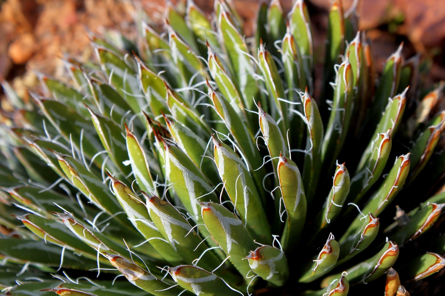
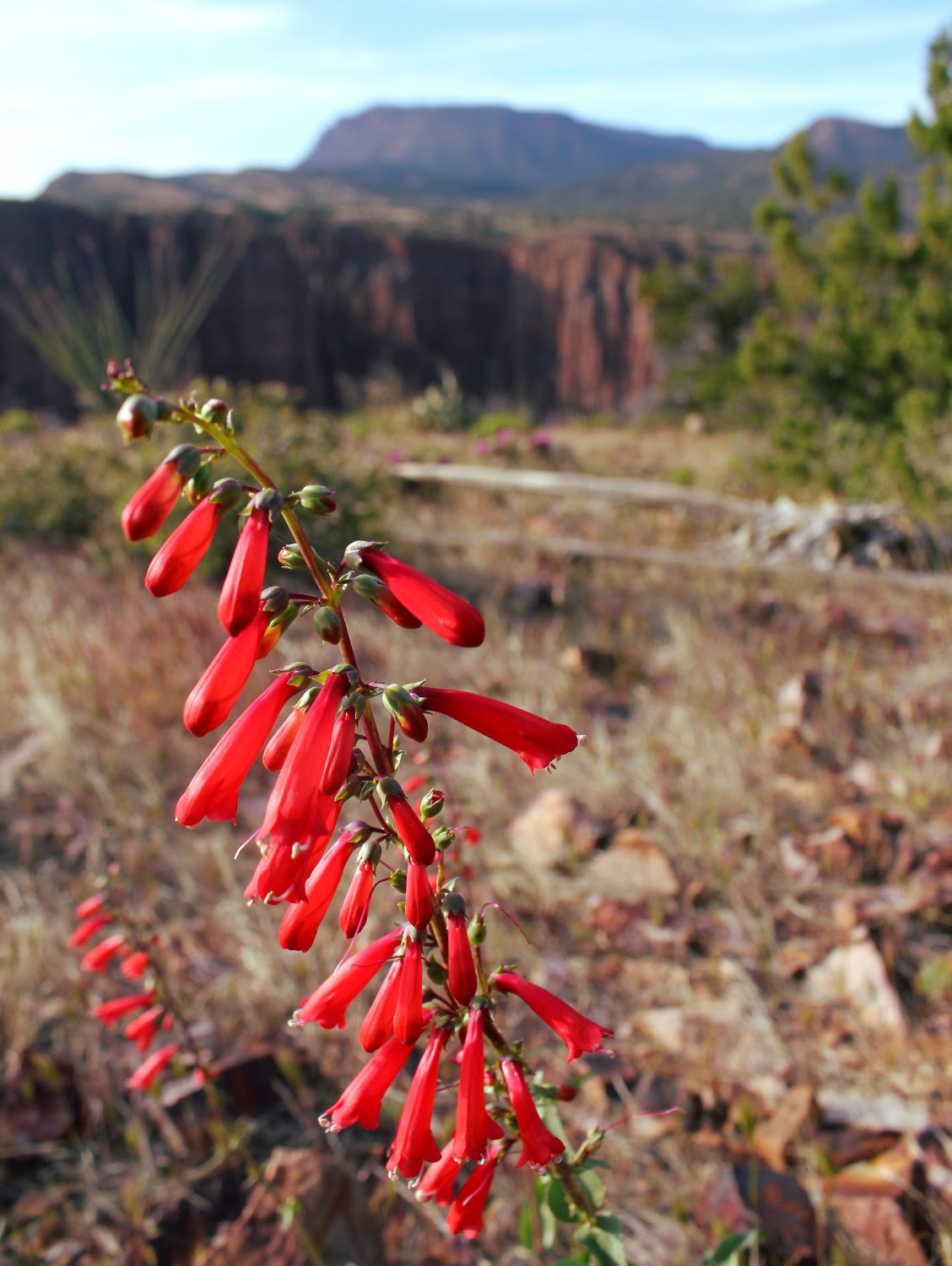
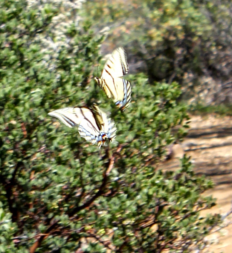
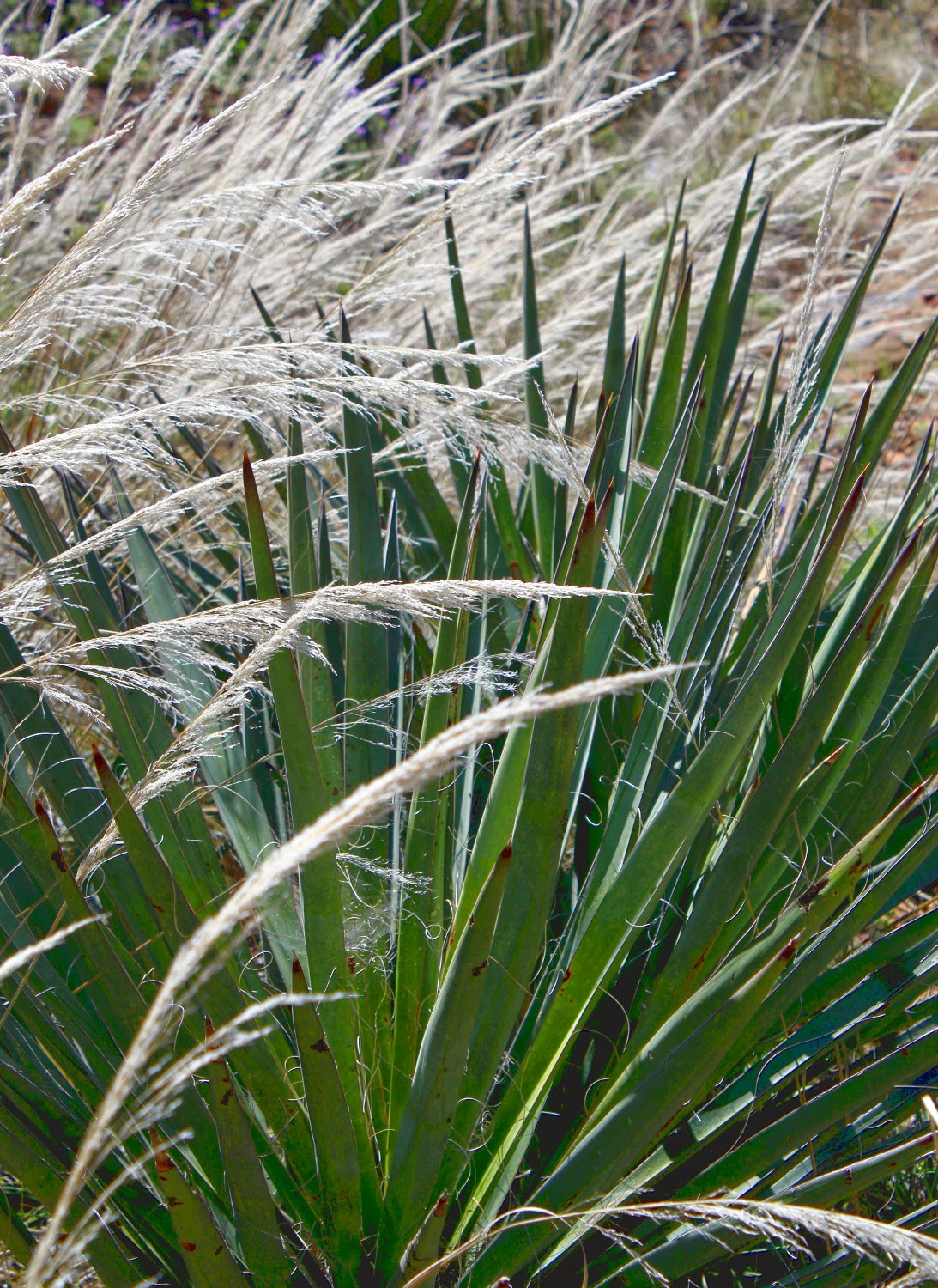
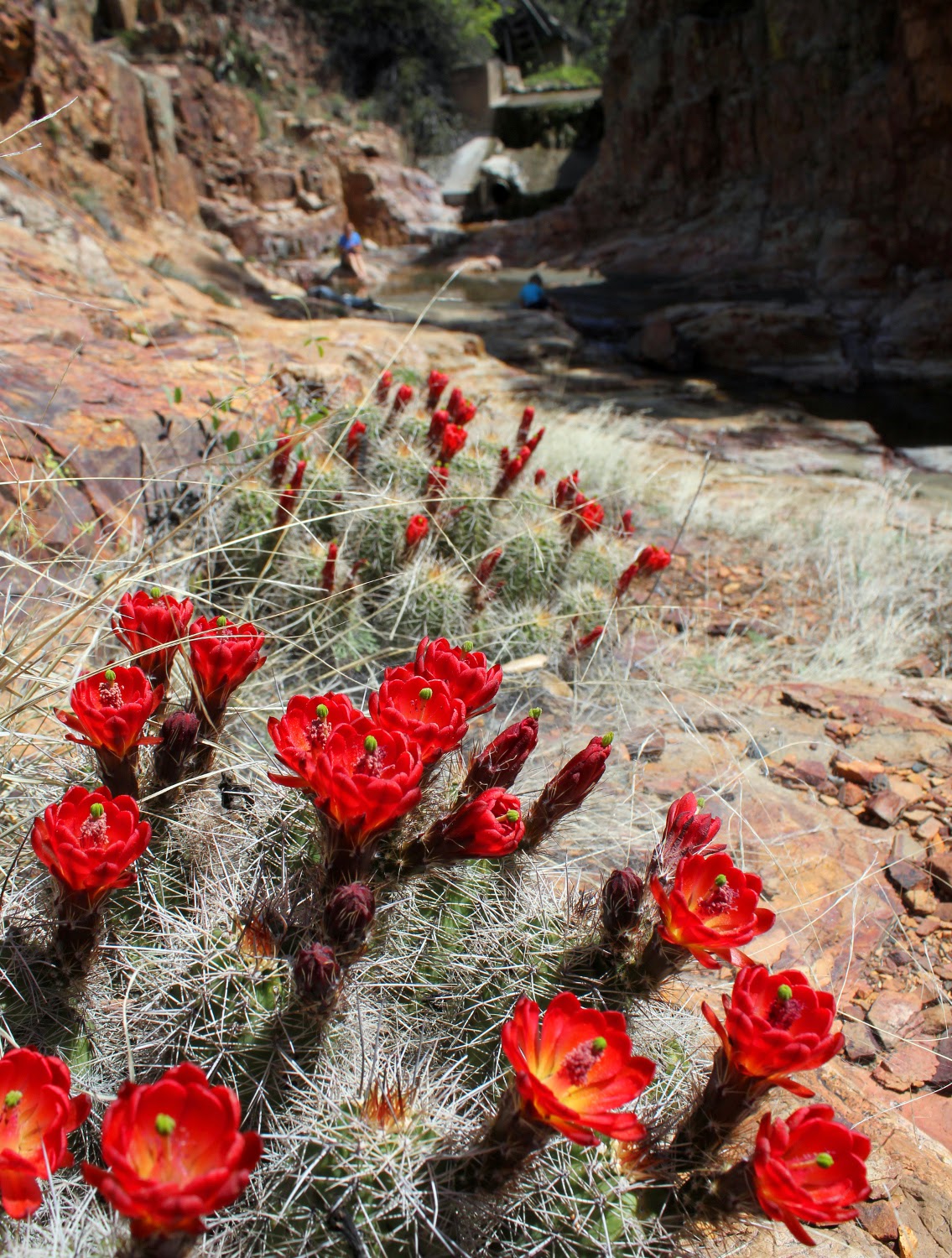
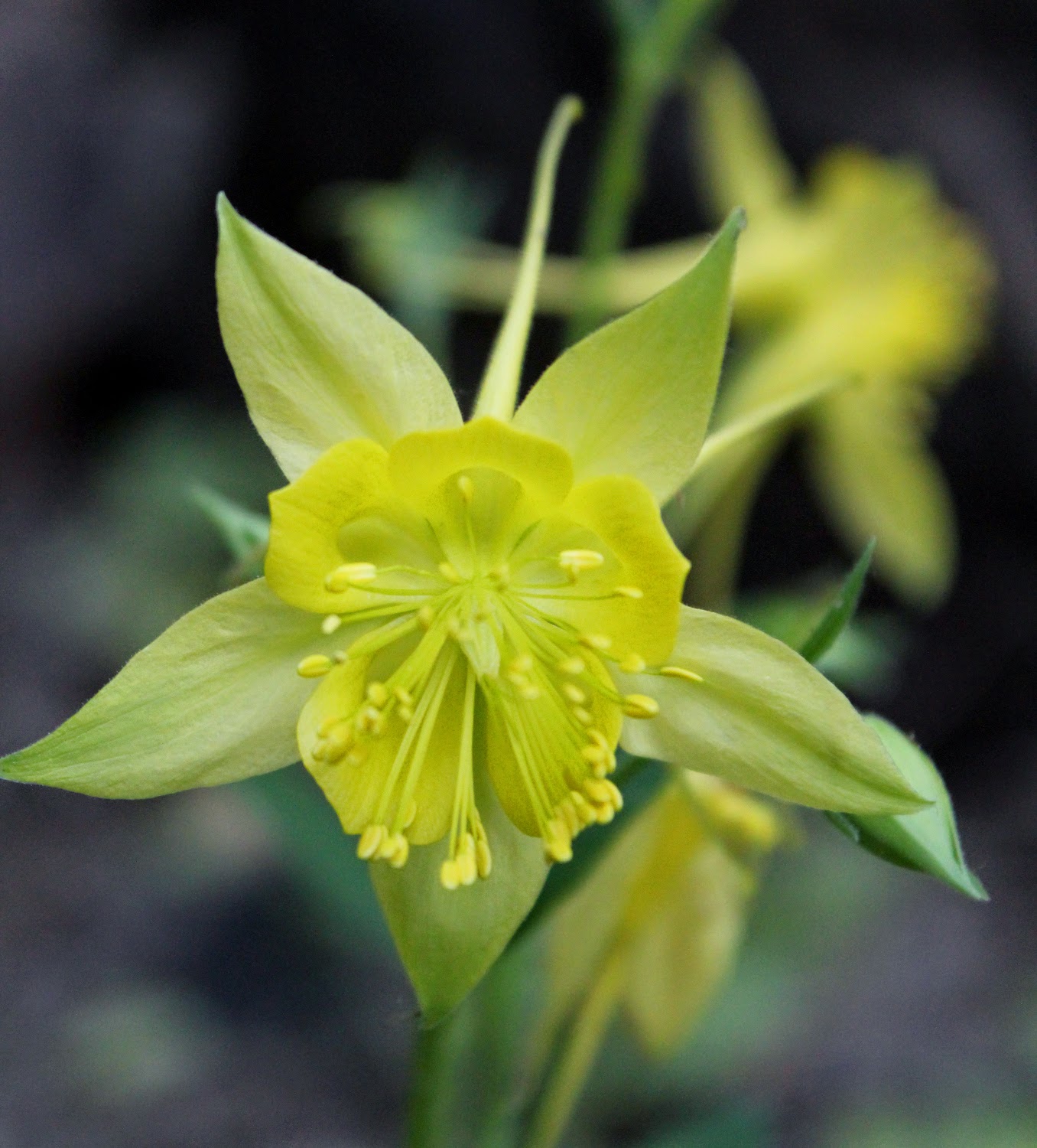
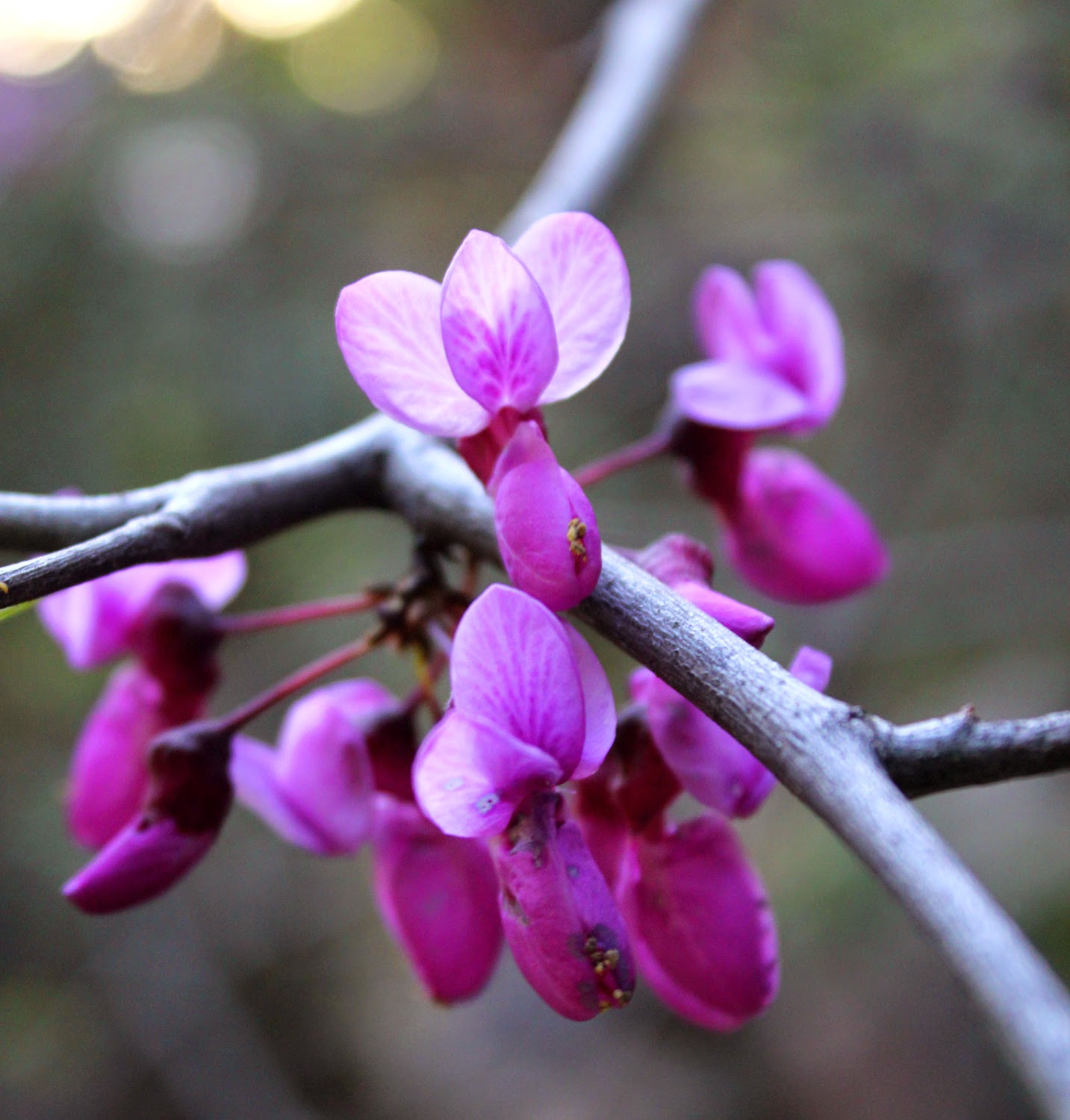
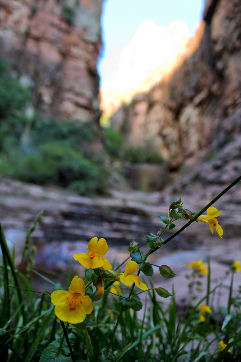
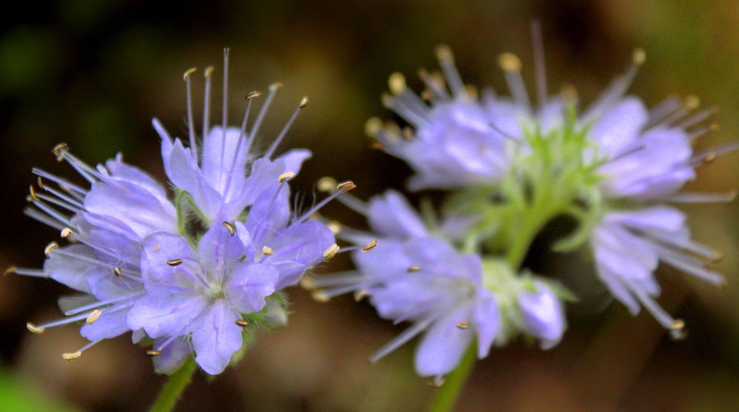
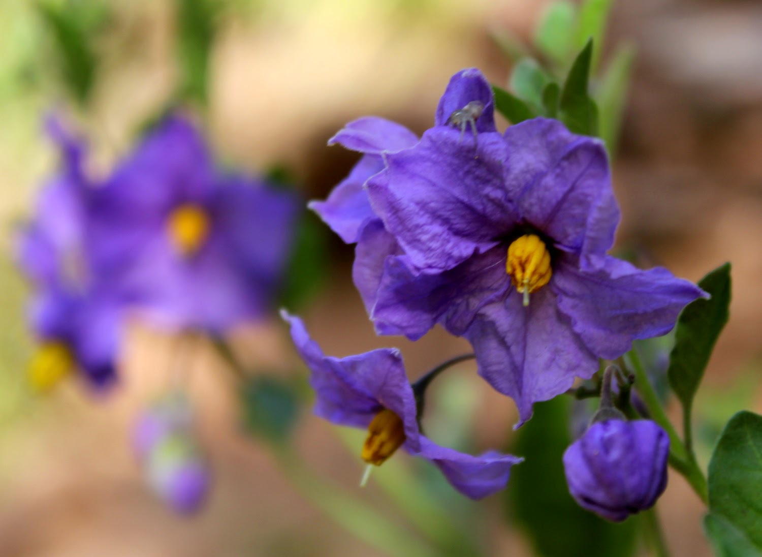
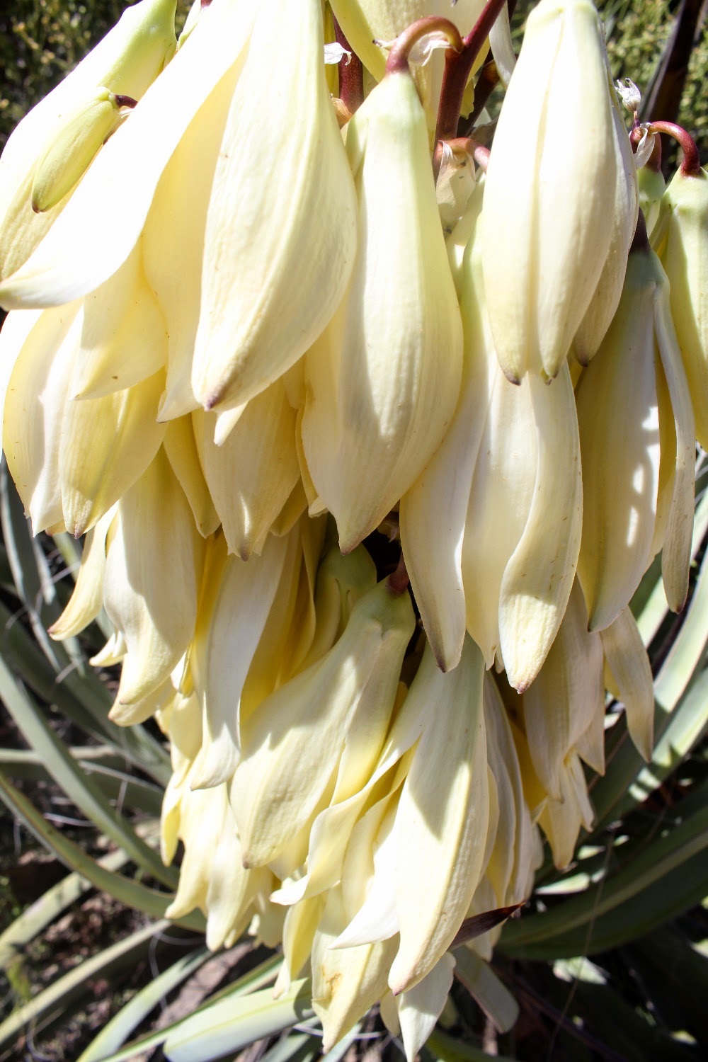
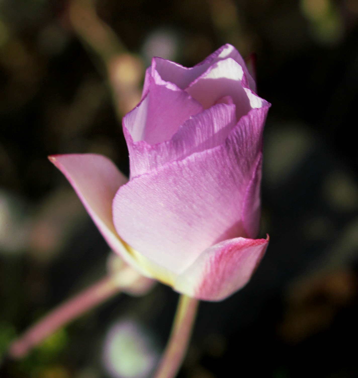
The desert has been blooming for weeks, at various elevations. What a spring.


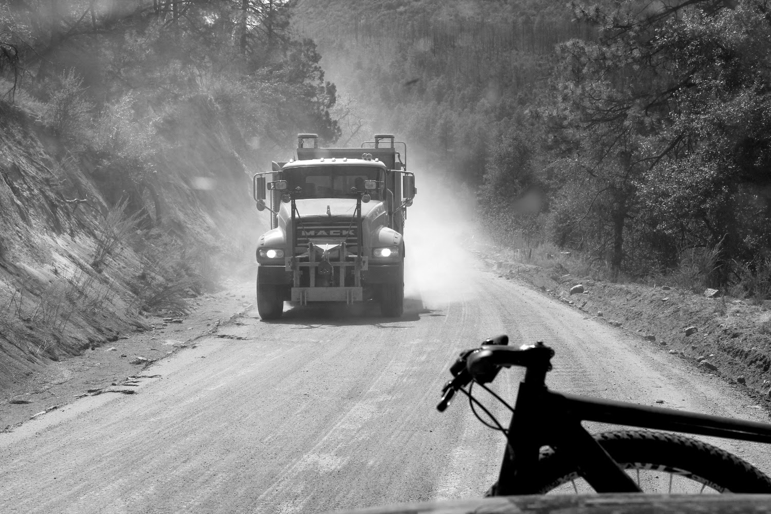
Grrr......

Race out of Chandler at 9:00am to escape this over populated sea of humanity and stop at the Upper Salt for lunch.
Promptly get dirty to piss mom off.
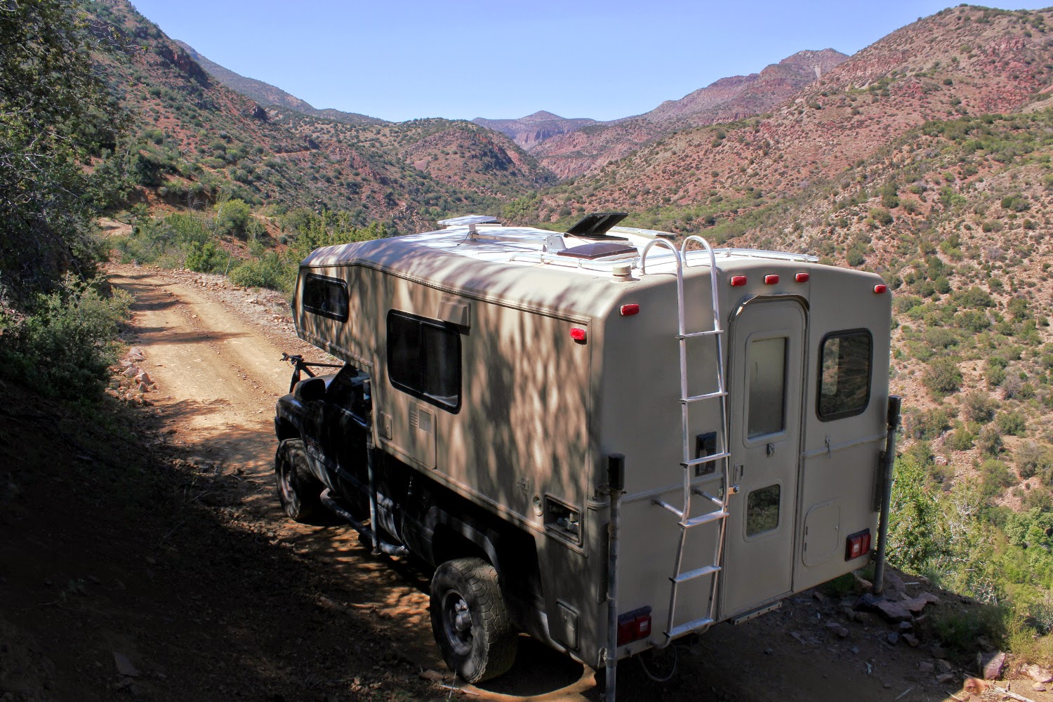
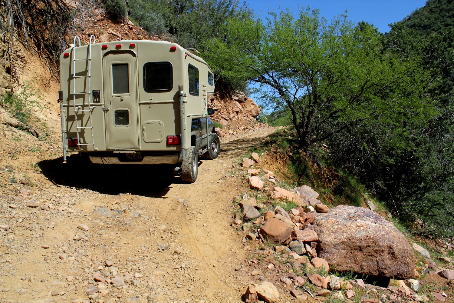
Then head for higher ground and cooler temps.
Then to our campsite for the night. There was a 4wheel camper on a white 2500 that left after lunch, then a nice sportsmobile overnight. But we never saw them, they were hiding in lower terrain.
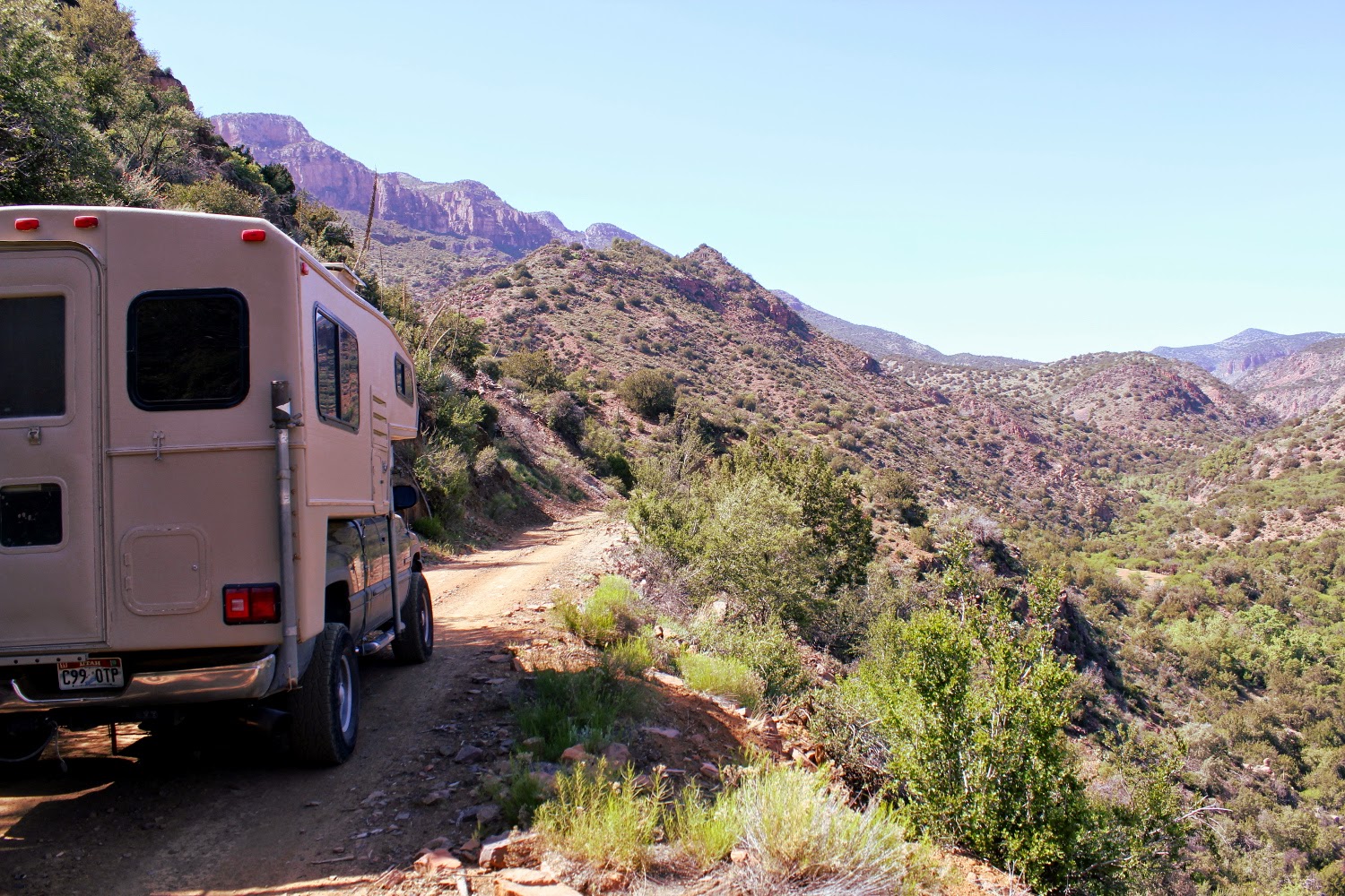
Hard to beat where you can camp in a TC! Looke closely.Large version clicky here
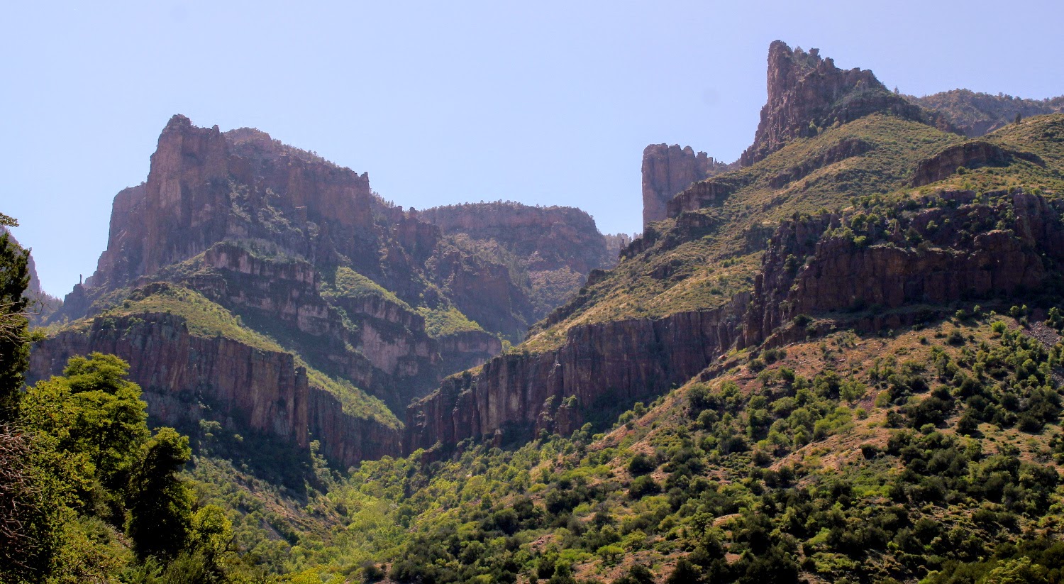
Hedgehog over the canyon.
The desert has been blooming for weeks, at various elevations. What a spring.
Grrr......