OK
 After
After rounding a wide sweeping right hand turn I found our tentative route to be blocked by a locked gate... that a Maine Warden had just unlocked! What luck!
Quickly we parked and I ran up to ask “Hi! Do you think you could let us through?!” He replied rather seriously “Sure, do you have the keys?” I was a little taken aback but he explained the area was gated from all sides and I would need keys to leave. With proceeding out of the question I stepped out of the way to let a vehicle with Jersey tags pass through - he had been escorting them out of the locked area - and inquired about a route to Maine.
The Warden finished locking up and walked over to where we were waiting. I caught him looking inquisitively at both trucks and when I explained our origin and destination he was happy to show us a route. I spread the atlas open on the hood and using his pen he quickly marked a series of turns which would bring us to Eustis. He also informed us the road from Eustis to Jackman was in use for wind farm construction and we might run into security there.
After a quick portrait and some expedition banter we sped Southeast along Lake Aziscohos towards Green Top Mountain and Tim Pond Rd.
The Maine Atlas
We obtained a valuable bit of information from the warden regarding the Maine Atlas - and why using the newest one is critical. See, the roads on the Atlas are labeled as highways, roads, local roads, dirt roads, and trails. gates on the roads and trails are marked by
o----o meaning locked, or
x-----x meaning gate or rock - sometimes unlocked. Other obstacles are marked by an
O - Impassable or
O with the bottom half filled in - sometimes passable (think flooded road). Game wardens each have their own territory, and every year Delorme gives each warden a map and asks them to mark each gate and impassable / sometimes passable points. The warden might not be able to check a certain area, or may not remember every road in his / her territory and therefore the map is inherently inaccurate.
The Map is Not the Territory
Stopping only for a quick view of Lake Aziscohos I led on quickly until about 11:00 when Josh radioed “It’s burrito time, let’s pull over here.” He quickly loaded the Lexus burrito cooker while everyone milled about and Chirp and I walked along the nearby stream. Shortly everyone was at battle stations and off we went, Chirp in the back using Jason to dry the water from the stream.
We made good time to Eustis, I still had half a tank of fuel and 12 gallons on the roof. After a quick check with Josh found he had the same, I turned left on Rt 27 looking for the road North: Goldbrook Rd.
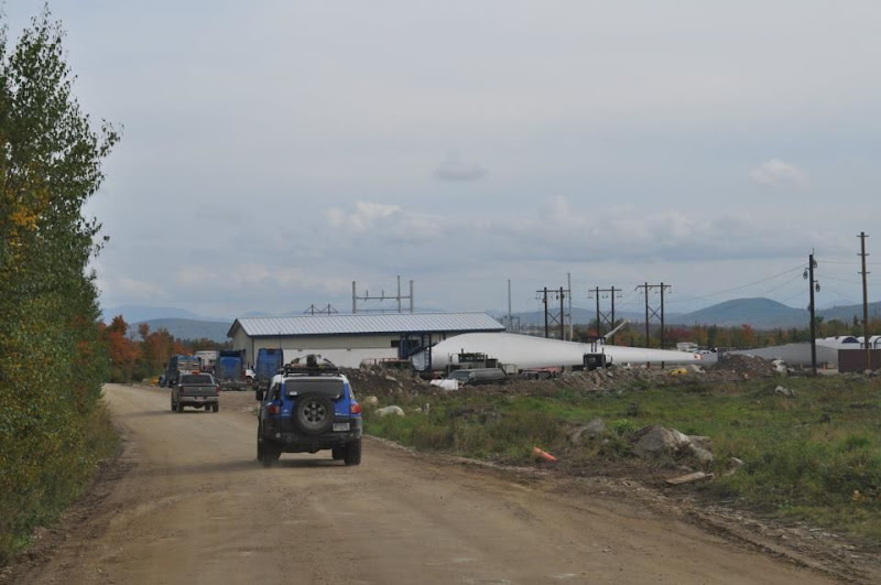
Starting up Goldbrook Rd it was very clear this was a wind farm installation. CB channels were clearly marked and there were signs directing drivers to Phase 1 and Phase 2 of construction. There was no gate or security - simply a sign that read “heavy construction traffic - pass at own risk”. So we passed. Right of the bat the road wound back and forth up out of view into the low, rolling mountains. Again locking the center diff I gassed the FJ and our small convoy began climbing, climbing, climbing. A few uphill miles quickly passed and out of habit I casually glanced in the rearview mirrror noticing the absence of headlights behind me. Not 5 seconds later Josh radioed “Hey we stopped back here.... we smell rubber again.”


