TripLeader
Explorer
Part 1: Prologue
"Each visit to The Maze convinced us all that we must return again."
-Kent Frost, My Canyonlands: I had the freedom of it
-----
I've really fallen in love with the desert over the last 10 years. I've had the good fortune to explore the American West and this is the report of one such experience. I try to go back as often as I can. I don't know why it took me so long to get to The Maze. I started asking myself that question as soon as I arrived there.
-----
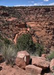
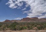
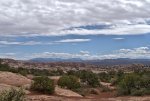
The desert seems exposed. You see the layout of the land like you can not in any other place. The geology is there for everyone to see. Millions of years of physical history there for the viewing. Cultural history remains. Those who were there 1000 years ago have not been forgotten.
-----
Part 2: Arrival
We exited the highway around noon on a Sunday in late April 2017 to the dirt road that led to the Hans Flat Ranger Station.
-----

-----
Getting there was an event itself. We were delayed by a snowstorm in Colorado that pushed our departure back by a day. The weather then moved to Western Kansas. That set us back 4 more hours while we detoured around a 250 mile stretch of Interstate 70 that had been closed due to snow and wind.
-----
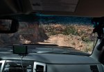
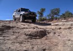
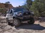
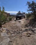
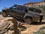
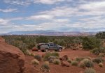
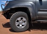
We drove on the dirt for a few minutes. We pulled over, ate lunch, and aired down the Cooper S/T Maxx tires to 20 PSI.
-----
We continued on our way.

-----
-----
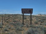
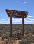
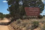
Although the sign said it was a national park, we were not there yet, and would not actually be in the park for another 24 hours. The ranger station and our first campsite were on federal lands, but outside of the park's boundaries.
-----
We arrived at the ranger station. We picked up our permit from a very helpful and friendly staff. The entire permit process was fantastic. The online reservation system was great to use. It showed what was available and what was already reserved during our planning stages at home.

-----
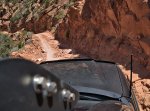
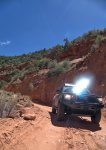
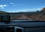
We continued on.
"Each visit to The Maze convinced us all that we must return again."
-Kent Frost, My Canyonlands: I had the freedom of it
-----
I've really fallen in love with the desert over the last 10 years. I've had the good fortune to explore the American West and this is the report of one such experience. I try to go back as often as I can. I don't know why it took me so long to get to The Maze. I started asking myself that question as soon as I arrived there.
-----
The desert seems exposed. You see the layout of the land like you can not in any other place. The geology is there for everyone to see. Millions of years of physical history there for the viewing. Cultural history remains. Those who were there 1000 years ago have not been forgotten.
-----
Part 2: Arrival
We exited the highway around noon on a Sunday in late April 2017 to the dirt road that led to the Hans Flat Ranger Station.

-----

-----
Getting there was an event itself. We were delayed by a snowstorm in Colorado that pushed our departure back by a day. The weather then moved to Western Kansas. That set us back 4 more hours while we detoured around a 250 mile stretch of Interstate 70 that had been closed due to snow and wind.
-----
We drove on the dirt for a few minutes. We pulled over, ate lunch, and aired down the Cooper S/T Maxx tires to 20 PSI.

-----
We continued on our way.

-----

-----
Although the sign said it was a national park, we were not there yet, and would not actually be in the park for another 24 hours. The ranger station and our first campsite were on federal lands, but outside of the park's boundaries.

-----
We arrived at the ranger station. We picked up our permit from a very helpful and friendly staff. The entire permit process was fantastic. The online reservation system was great to use. It showed what was available and what was already reserved during our planning stages at home.

-----
We continued on.

Last edited:


