The Owyhee River
Camped up on that ridgeline, we gorged ourselves on lamb and fries but drank our Macallan somewhat somberly because Jason and Kevin had split for Boise that afternoon and the trip just isn't the same without all of the usual
compadres. We talked of the canyons and desert to come and made a rough plan to head west towards Oregon in the morning.
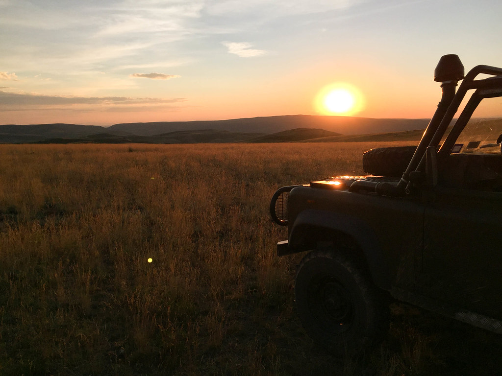
I slept somewhat fitfully, worried about our exposure to thunderstorms even though the weather was fair. That's the drawback to a campsite like this. The view that it commands is almost infinite but you can never really let your guard down because danger could be silently boiling up over the next mountain.
We slept late the next morning and considered the topo maps over coffee and oatmeal. When we eventually broke camp, we headed down the hill and out across ranchland towards Nevada 225.
Photo by Peter Matusov
Photo by Peter Matusov
Photo by Peter Matusov
It was a strange feeling, pulling out onto the smooth asphalt of Nevada 225. We wouldn't be on it for long--only a few miles--but it cuts a north-south swath through the Owyhee and it's unavoidable. Our short stretch took us through the scrub-brush town of Mountain City, the last non-Indian town before northbound drivers enter the Duck Valley reservation.
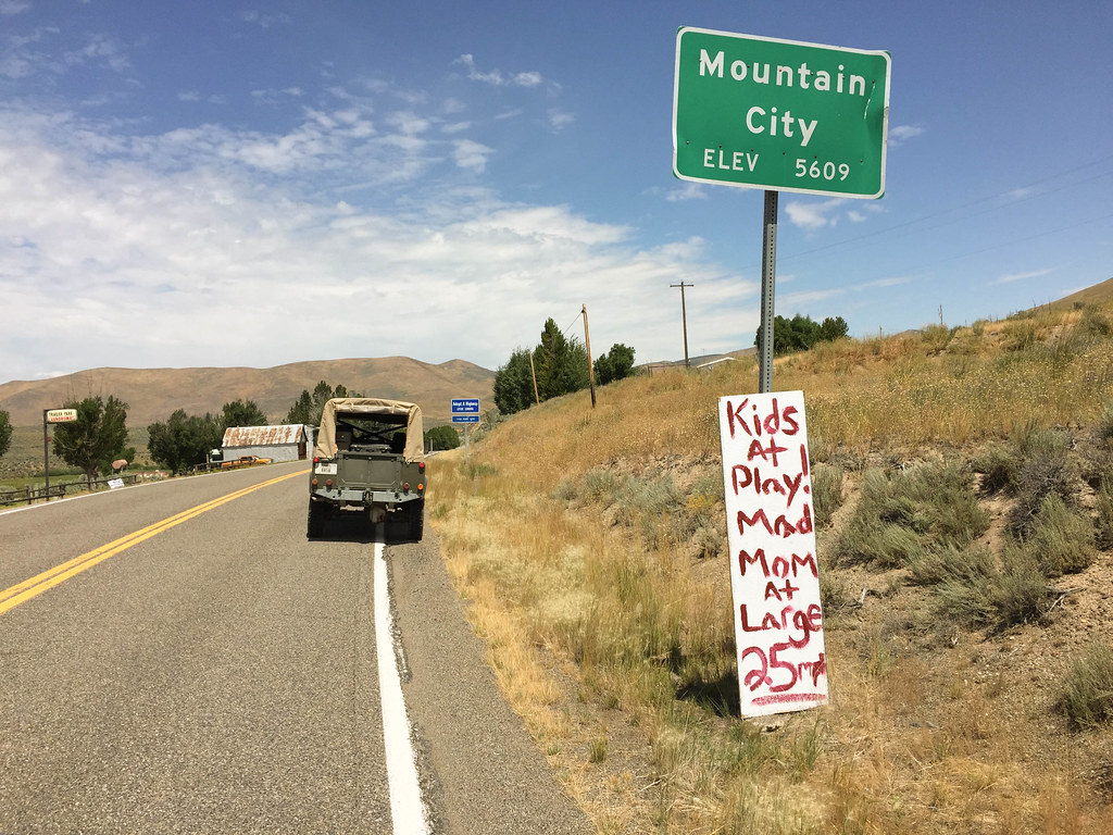
We cross back into Idaho and turn off to the west on dirt doubletrack. We're in the high desert and the terrain flattens out considerably. Coming around a bend, we roll up on a sight that neither Peter nor I have ever seen: wild mustangs.

The free mating and decades of harsh desert conditions have built a magnificent breed that is tough, beautiful, and intelligent. They watched us approach and were curious and didn't flee but kept a safe distance, their young in the center of the herd.
We press on.
The doubletrack was well-travelled and easy so I began to look for alternate routes and shortcuts to our first destination, the South Fork of the Owyhee River. In short order, our graveled path changed to this:

..and before long, disappeared out entirely:
We poked through the sagebrush carefully and eventually intersect with the BLM trail that took us to a fork in the road several miles shy of the Owyhee River Canyon rim:
We ponder our options and turn left. In short order, the land parts and the sheer, volcanic walls of the canyon begin to show:
By this point in the afternoon, the sun is beating down and the desert temperatures are scorching. We knew that a swim in cool, clear water was close and imagine our excitement when we came upon this:

It was private property--the 45 Ranch--but we longingly gazed at the freshly-mown grass and imagined setting up our tents down there, enjoying steaks and a sunset swim in the river. We rolled up on the ranch and spotted a man working on a tractor. I hailed him and we met him at the fenceline. Would it be possible for two dusty and sunburn travelers to set up camp on his field? Unfortunately, the answer was "no". It's a private ranch and they don't allow visitors. It operates, ostensibly, as a private Nature Conservancy property but the real owners are grandfathered into the deal and can use it at their leisure. The yurts set up on the grass? That was a party of BLM surveyors. The land was so choice--a rarity in this desert--that it must have been expensive. I wondered who owned it. When I got back to civilization, I looked it up. Amazingly, it was Charles Conn, the CEO of Ticketmaster when I worked there back in L.A. in the 90's. He has an airstrip right next to the river and he and his buddies fly their planes in for fly fishing trips.
Bummed, we got back in the trucks and continued down the road a bit to the public river put-in. The road turns to private property just across the river but we were able to have a leisurely swim break to cool down and wash days of dust from our hair and clothes. I feel like a new man.
Afterwards, we grind our way back up 1,000' of vertical to the canyon rim and head for the East Fork crossing.
Photo by Peter Matusov
Photo by Peter Matusov
Photo by Peter Matusov
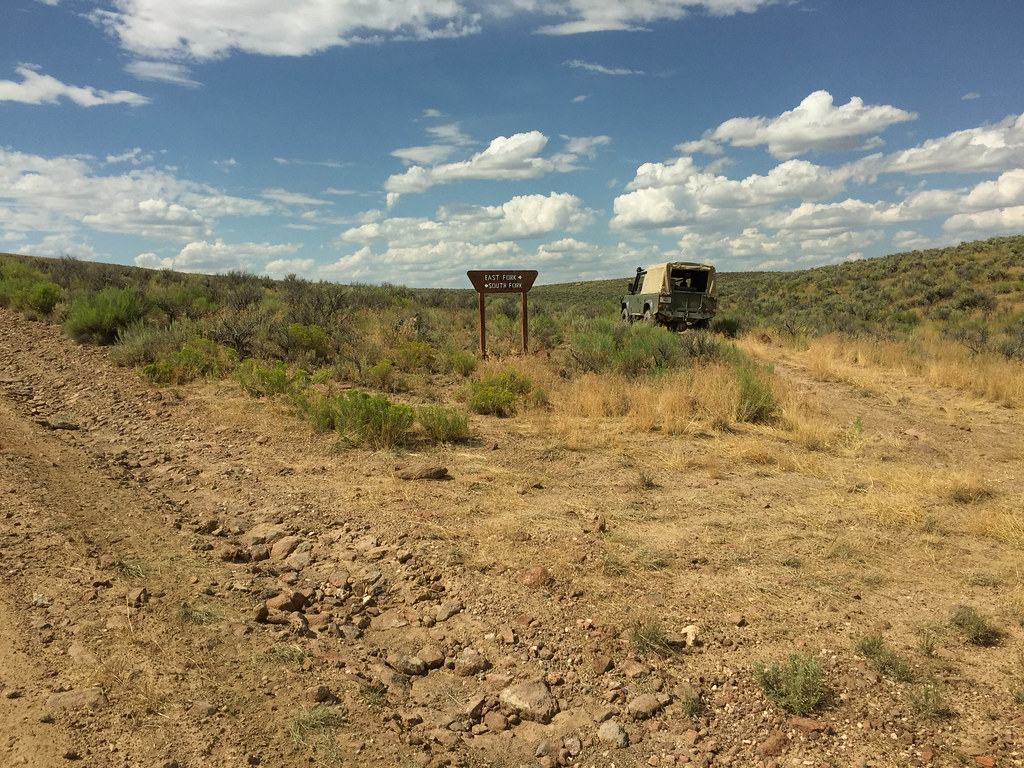
The East Fork ford, known as Crutcher's Crossing, is similar to the South Fork but much more remote. There's no fly fishing ranch, only a lonely river gauge and put-in spot.
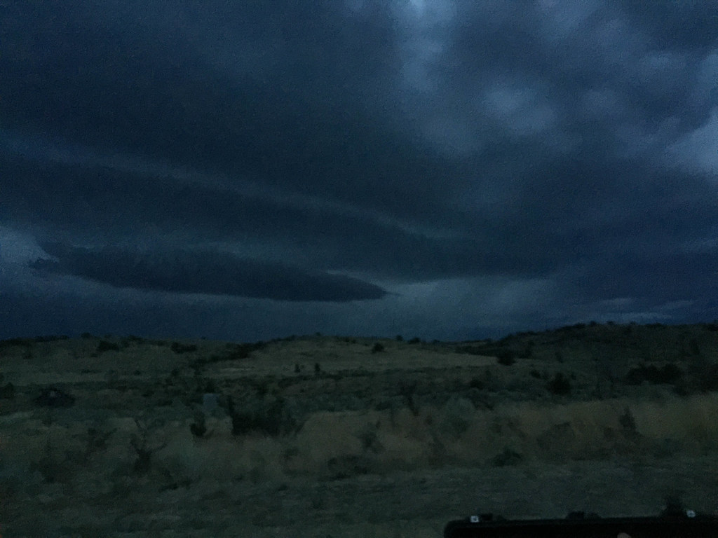
My labrador-like tendencies have me really wanting to take another swim but the sky has darkened and rain drops are falling on the river as we make the ford. A very big thunderstorm is moving in and we must move quickly if we want to make it to a safe place to camp. The risk of flash flood aside, the crossing isn't a terrible place to camp but it's frequently travelled and very dusty, with no natural shelter to be found. Not wanting to wash away or wake up in a mud pit, we decide to make for the rim and seek camp in the juniper forest to the west.
At this point, we have to move quickly. We stop taking photos, except for Peter's front-mounted GoPro camera.
The drive up out of Crutcher's was one of the most challenging of the entire trip. It's steep, ledgy, and loose and it was a struggle for my truck, which still has no lockers. Further complicating the matter, my transmission brake slave got sticky after the river crossings and stopped working so I had no choice but to drive on.
I was being cautious, not wanting to snap an axle. There was no backing down, though, so I used the Force and made it up without winching. It's amazing how much challenge and fun you can have in a stock Land Rover. This would have been a quickly-forgotten cakewalk in my NAS truck but in my stocker 110, it was a run I'll never forget.
At last, we reached the rim. The storm was bearing down on us and the wind and dust was whipping through my window-less door tops. We had no destination in mind but we needed shelter quickly so we decided to camp in the first sheltered spot we could find.
Racing along this trail, we came upon a creek crossing. There was no usable bypass and the mud was quite deep. There were cattle everywhere and the mud was vile, cow ****-smelling filth. I really didn't want to get stuck here. The plan was to send me across first. If I got stuck, Peter would winch me back, using my rear DB jaw. I put it into low range and 4th gear and booted it.
The three hundy roared and I flew through the mud before hitting the unseen foot-high far bank of the creek, which stopped me in my tracks. Several more attempts and some turning, I popped up on the other side and a cow ****-covered winching session was avoided.
We stumble upon an acre-sized fenced plot with a small cabin in the middle of it. With the storm bearing down, it looked incredibly inviting. It was posted private property so trespassing was out of the question but Peter swore he saw a man walking around the cabin as we arrived. We stood there for a few minutes trying to hail the occupant but nobody ever came out and we decided that the man Peter saw was really just one of the cows ambling around.
We decided to set up camp just across the road so we raced to batten down the hatches before the rain arrived.
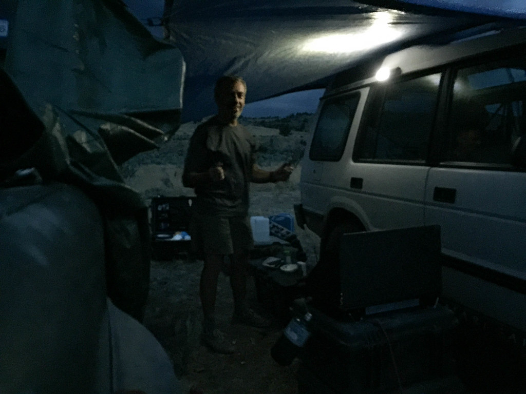
We improvised protection for the open cab of the 110 and added a tarp between the trucks for a camp kitchen:
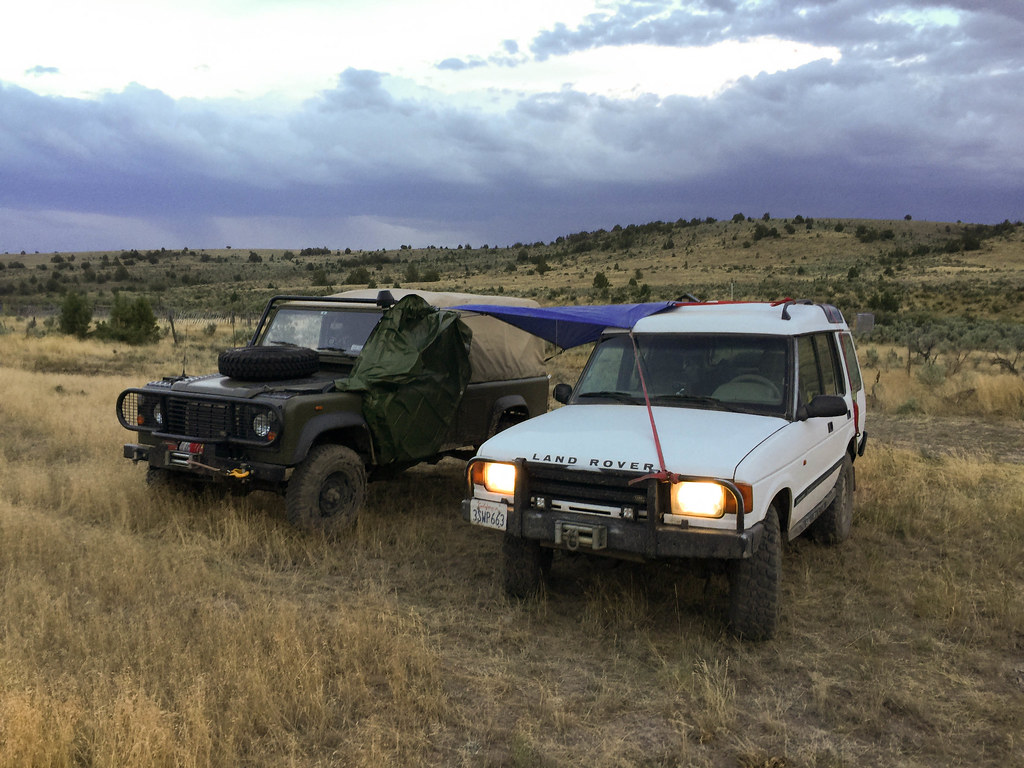
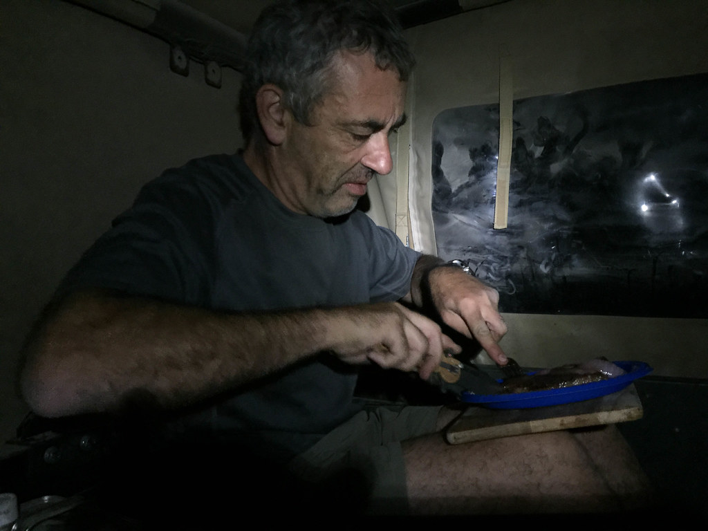
We fired up the stove and cooked New York strips on the cast iron as the skies began to grow very ominous and the rain began to fall.
