This is a quickie adventure report for the trip posted here. Andy and I reconned Paria Plateau (essentially the BLM-administered Vermilion Cliffs National Monument), the Kaibab Plateau, and that triangle piece of land that's crammed between both those plateaus and the Colorado River. The plan turned out to be a bit ambitious and therefore a good amount of seat time, but it was fun driving in very scenic areas.
The Paria Plateau is a completely uninhabited 275,000 acre region that averages about 6300'. It's a sandy, rolling terrain of mostly juniper and pinon pine interrupted by interesting sandstone hills. 4x4, and extra gas and water are required. We did not encounter one vehicle/person the whole time and you are very far from... anything. Of course the southern border are the Cliffs:
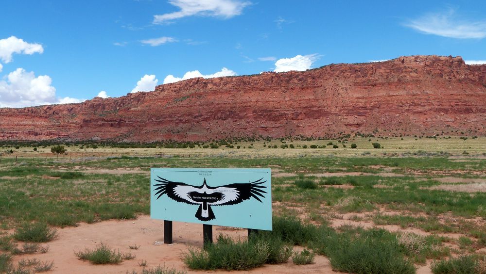
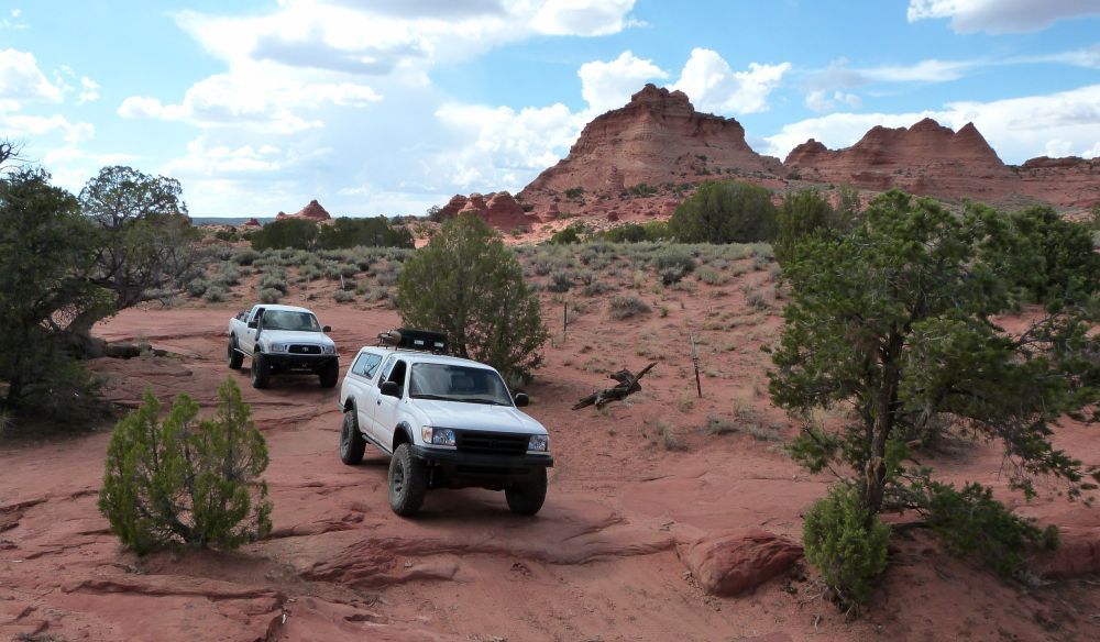
Up on the Plateau:
Unknown ranch. It had a great little "camping/cowboy" cabin.
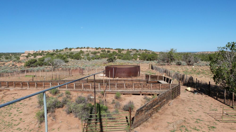
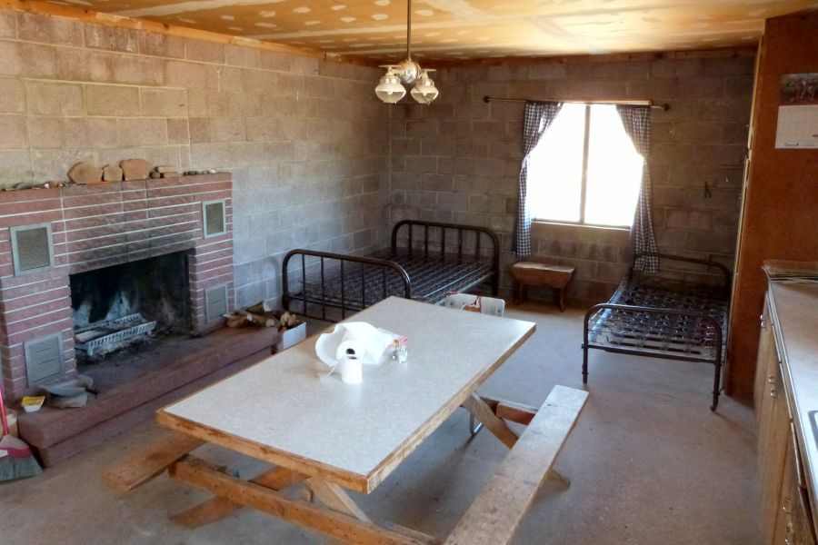
Joes Ranch:
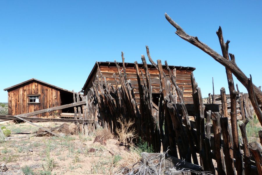
Jarvis Ranch:
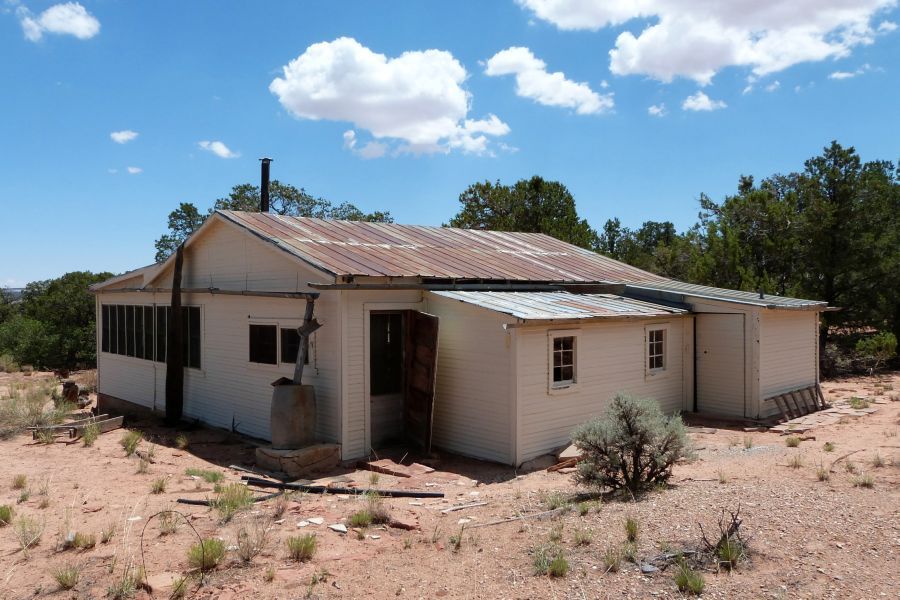
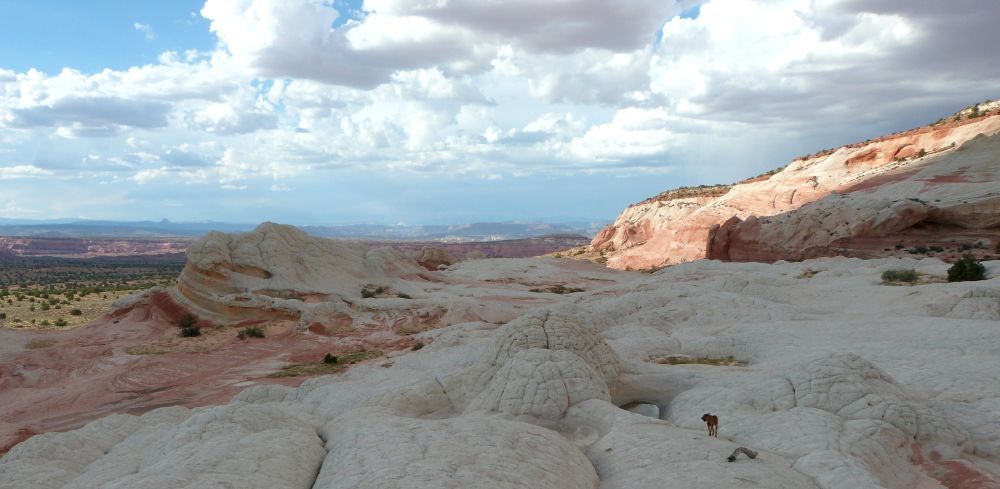
We spent some time at White Pocket. It was really hard to narrow down to just a few pictures, but here are some:
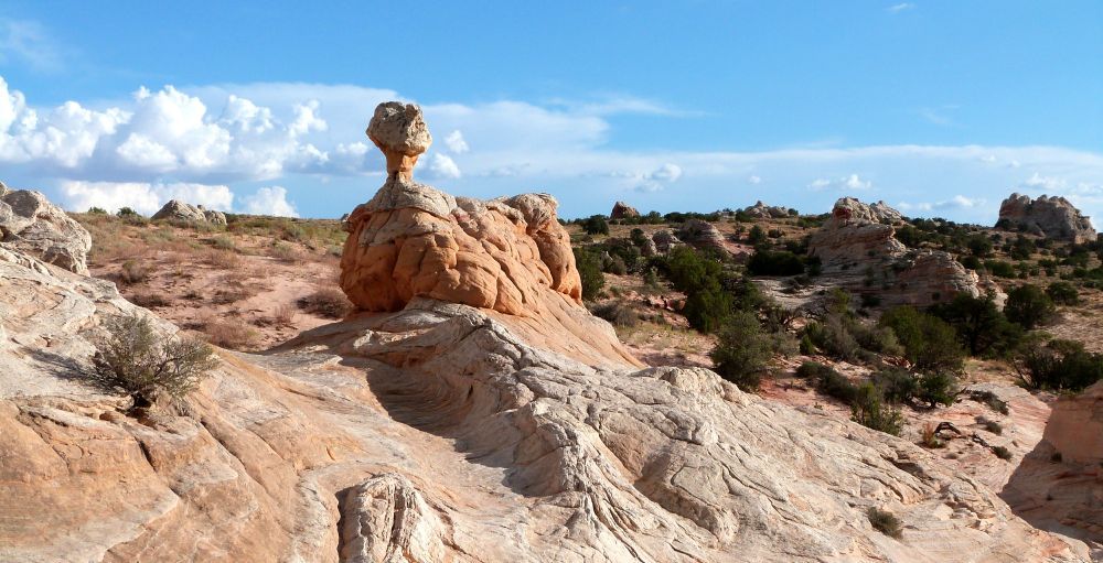
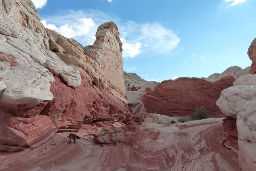
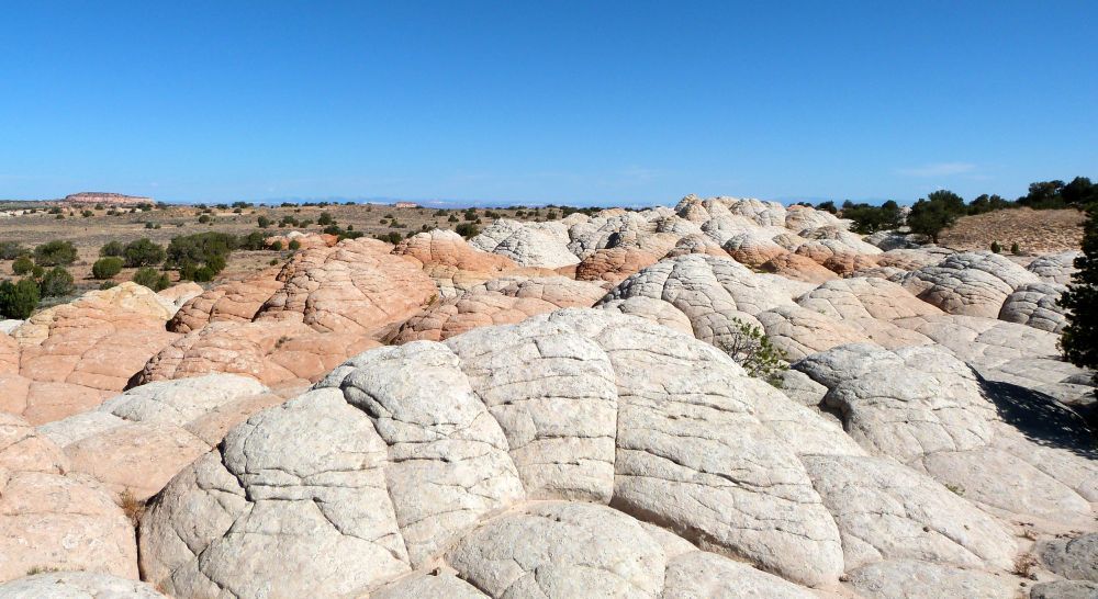
There were other strange outcroppings around the plateau such as these:
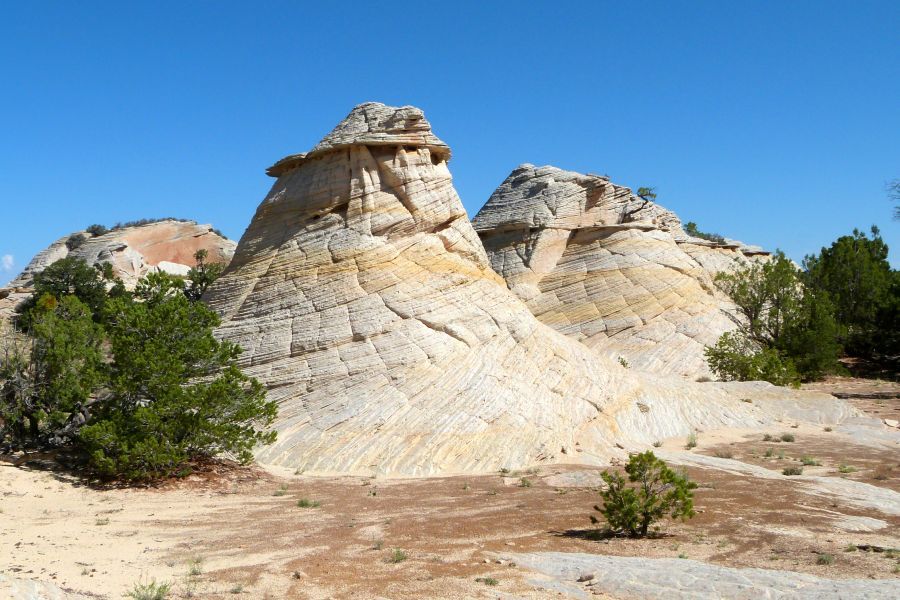
...and these:
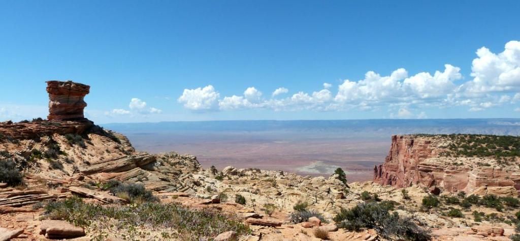
There are several access points to the top of the cliffs. This is one such place:
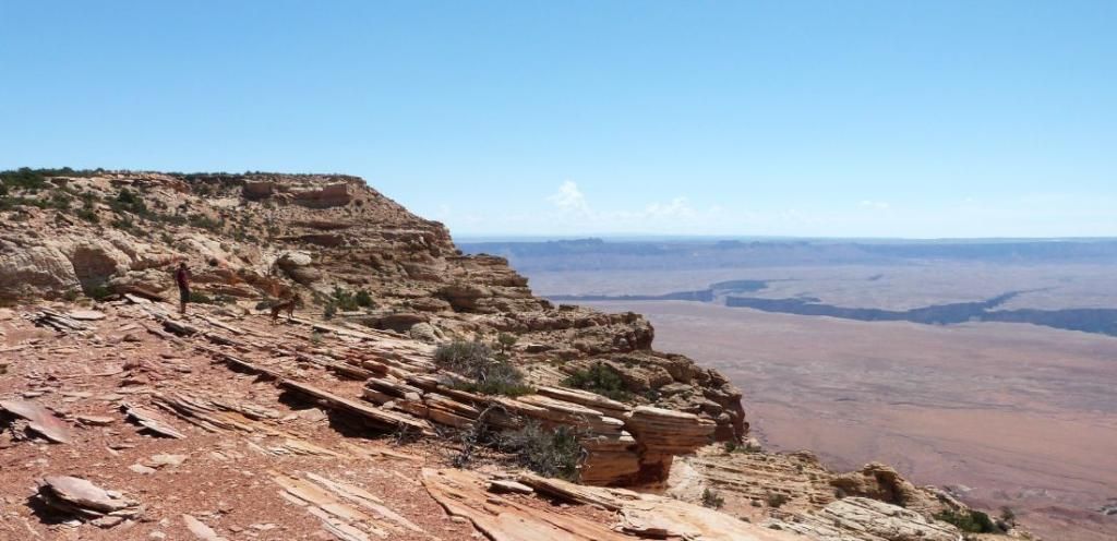
We eventually transitioned to the 7000-9000' elevations on the plateau next door with access to the north rim of the grandest canyon of them all. One of the goals was to reach observation points entirely outside the main national park area. Here us Sowat's Point:
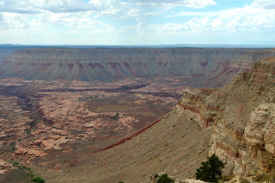
Crazy Jug Point:
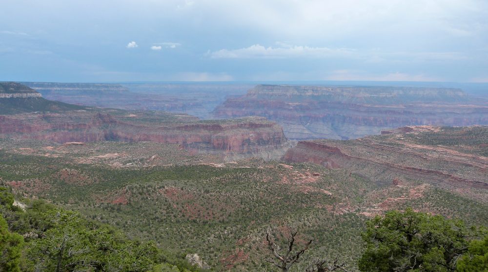
Fire Point:
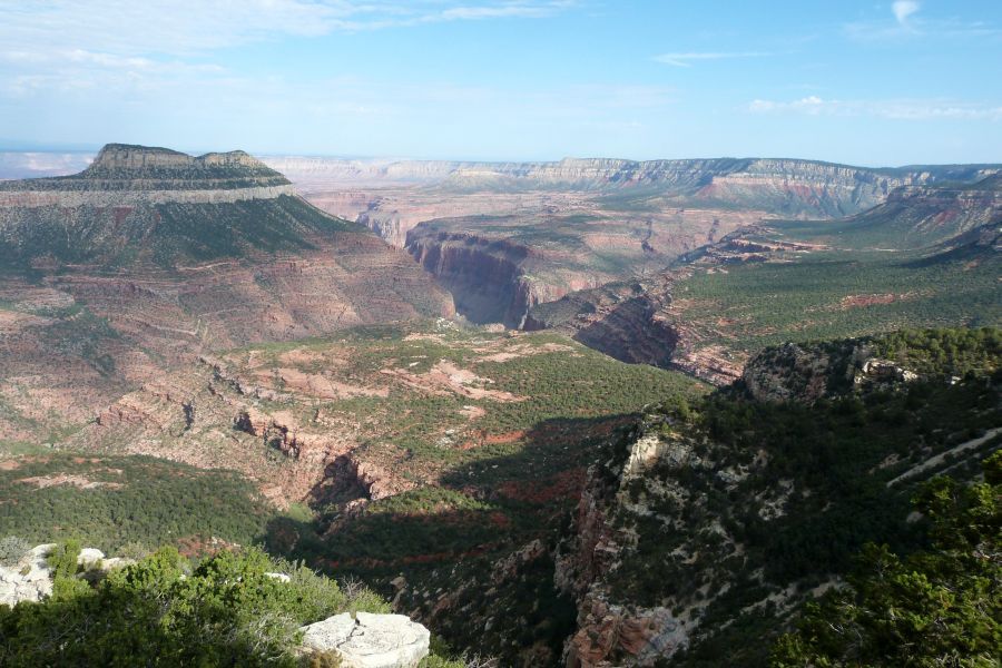
On the other side of the Kaibab was (among others) Saddle Mountain Point:
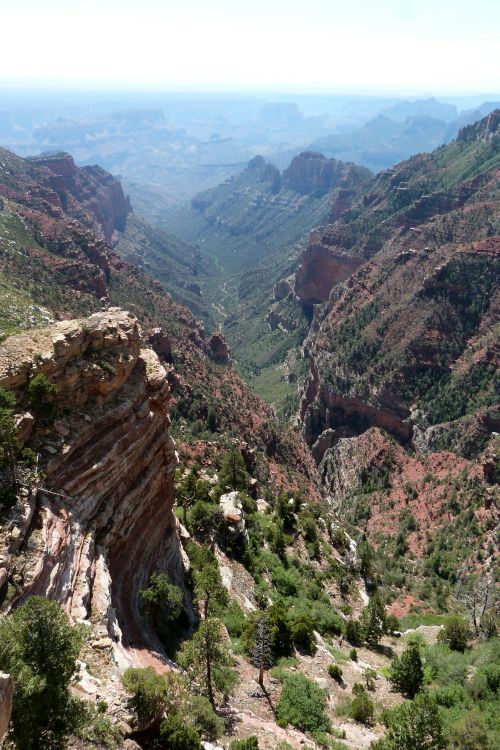
South Canyon Point:
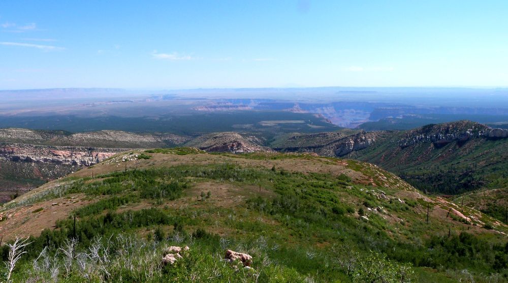
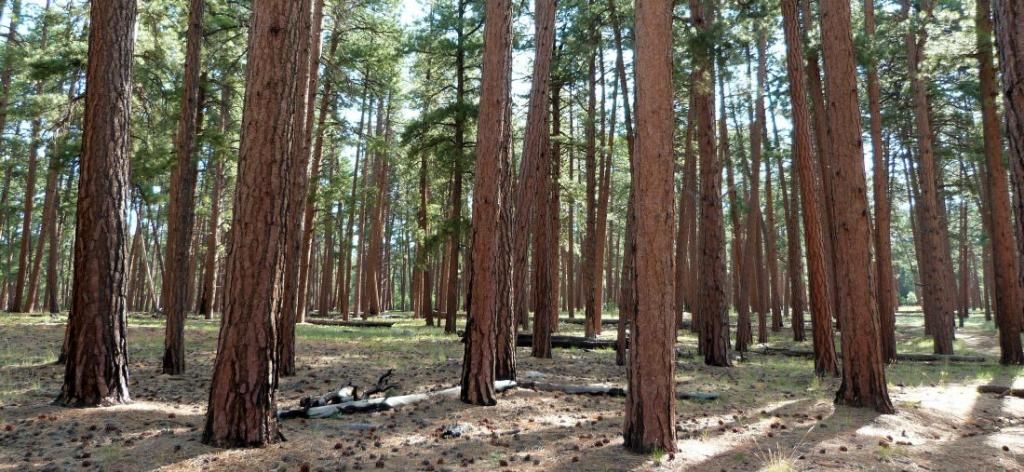
And of course some beautiful forest:
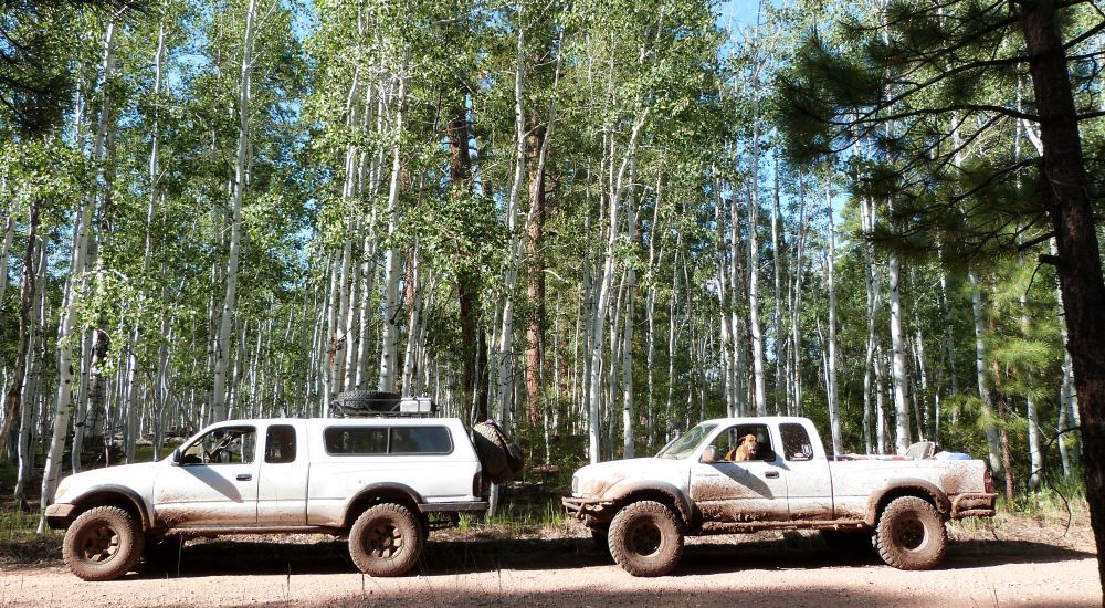
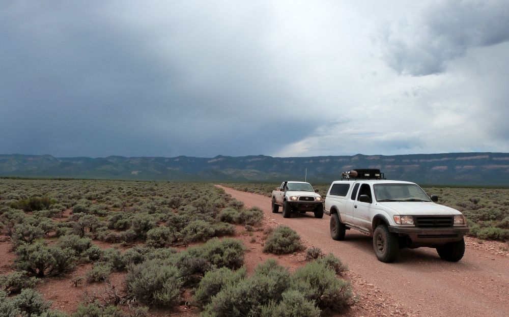
We finally dropped down to the House Rock Valley area (with the Kaibab in the background):
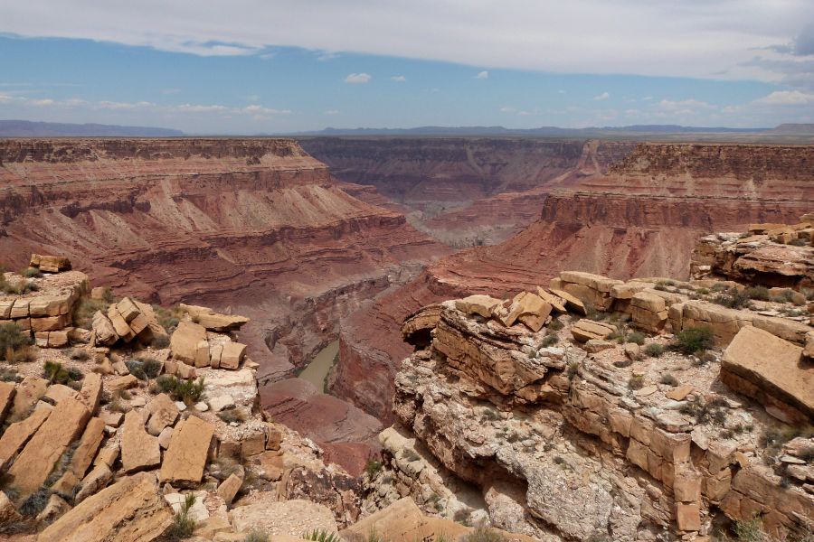
And found our way to a couple Marble Canyon overlooks:
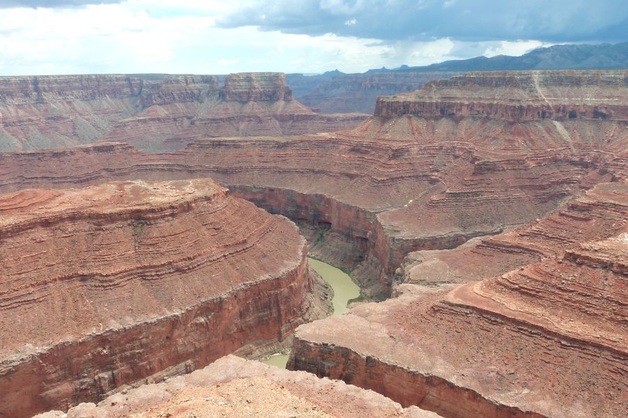
Here are all of the pics I uploaded (out of 175+).
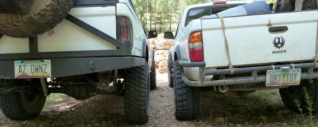
I must say it was an excellent "plan b" trip in lieu of the Elk Mountains and I covered a bunch of new ground with a good partner and his buddy Jack. It was a great time and thanks for coming along Andy.
:smiley_drive:
The Paria Plateau is a completely uninhabited 275,000 acre region that averages about 6300'. It's a sandy, rolling terrain of mostly juniper and pinon pine interrupted by interesting sandstone hills. 4x4, and extra gas and water are required. We did not encounter one vehicle/person the whole time and you are very far from... anything. Of course the southern border are the Cliffs:

Up on the Plateau:

Unknown ranch. It had a great little "camping/cowboy" cabin.


Joes Ranch:

Jarvis Ranch:

We spent some time at White Pocket. It was really hard to narrow down to just a few pictures, but here are some:


There were other strange outcroppings around the plateau such as these:

...and these:

There are several access points to the top of the cliffs. This is one such place:


We eventually transitioned to the 7000-9000' elevations on the plateau next door with access to the north rim of the grandest canyon of them all. One of the goals was to reach observation points entirely outside the main national park area. Here us Sowat's Point:

Crazy Jug Point:

Fire Point:

On the other side of the Kaibab was (among others) Saddle Mountain Point:

South Canyon Point:

And of course some beautiful forest:


We finally dropped down to the House Rock Valley area (with the Kaibab in the background):

And found our way to a couple Marble Canyon overlooks:


Here are all of the pics I uploaded (out of 175+).
I must say it was an excellent "plan b" trip in lieu of the Elk Mountains and I covered a bunch of new ground with a good partner and his buddy Jack. It was a great time and thanks for coming along Andy.

:smiley_drive:
