Monteraqui meteorite crater
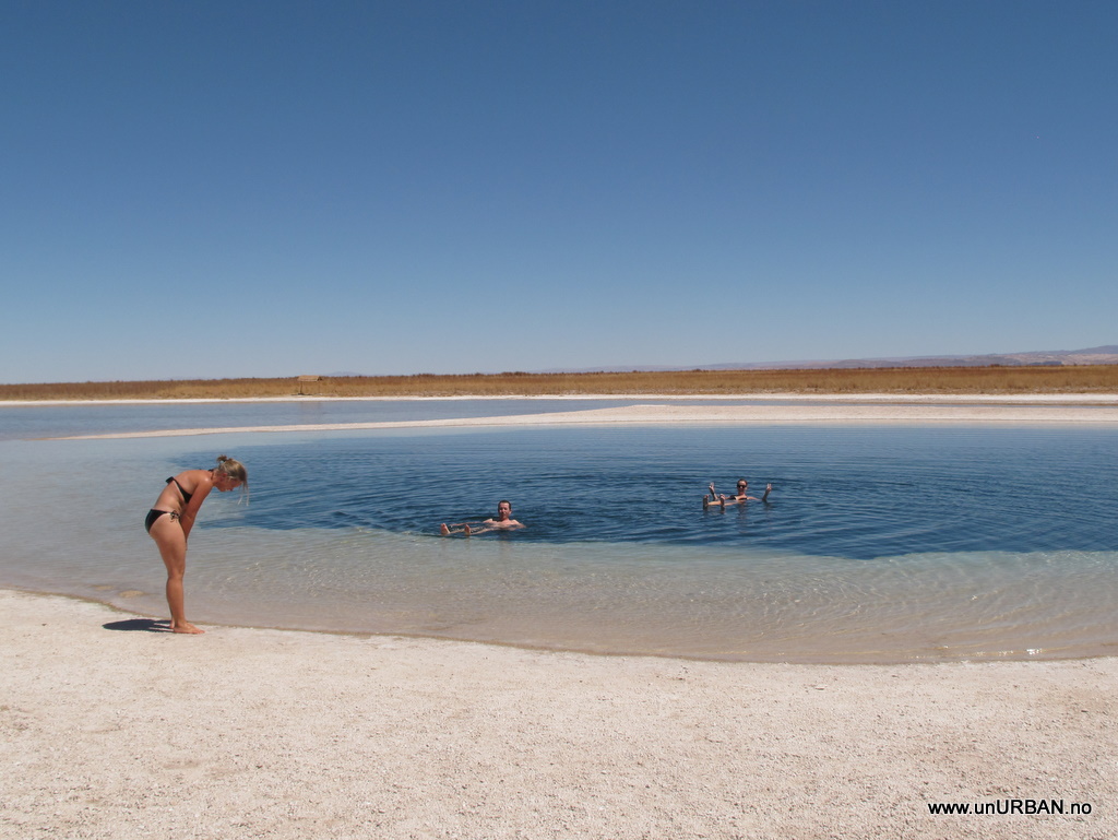
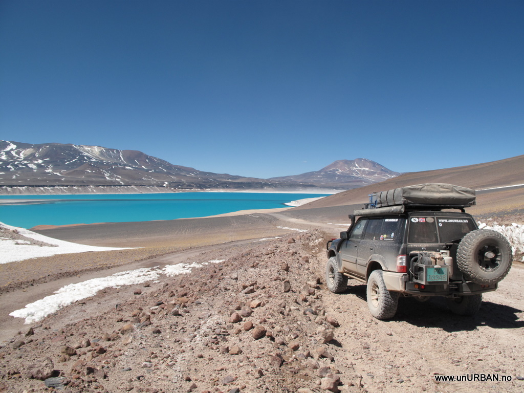
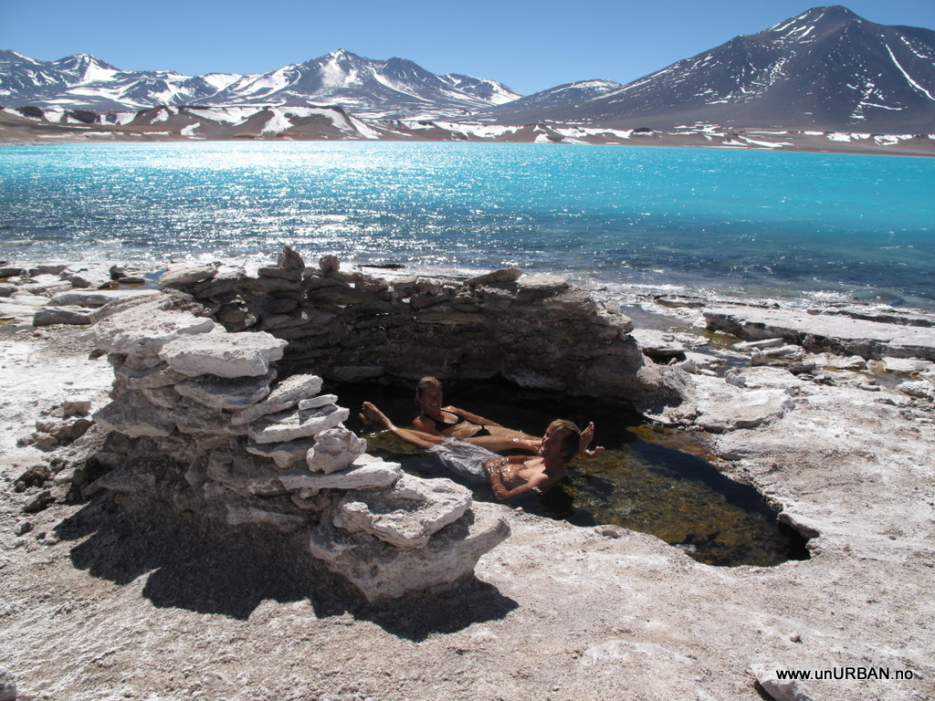
Leaving San Pedro de Atacama just south of town we drove past the Cejas salt Lagunas. In town we had walked past advertising photos of people floating in these incredible blue lakes. We decided to stop and try out the buoyancy ourselves. It was not until we had paid for the tickets that our minds started to reflect on the fact that it was 5 degrees Celsius the previous night and this might have an effect on the temperature of the lake even if it were T-shirt weather during the day. The water was COLD, maybe 12-14 degrees Celsius. So our experiment with the buoyancy lasted just a couple of minutes.
.
.
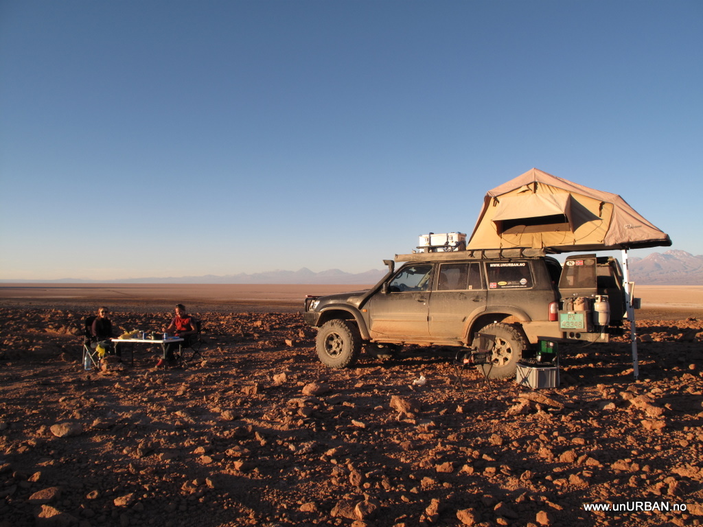
In the afternoon we found a nice location for a wild camp south of Salar de Atacama. Sitting around the table in the afternoon with a beer we talked about next day’s route towards the Pacific coast. In our GPS we had seen that some travelers had put in a waypoint for Monteraqui meteorite crater about 40 km south of where we camped. Sounded like and interesting stop on our way to the Pacific, and looking at the map it would not be much of a detour.
.
.
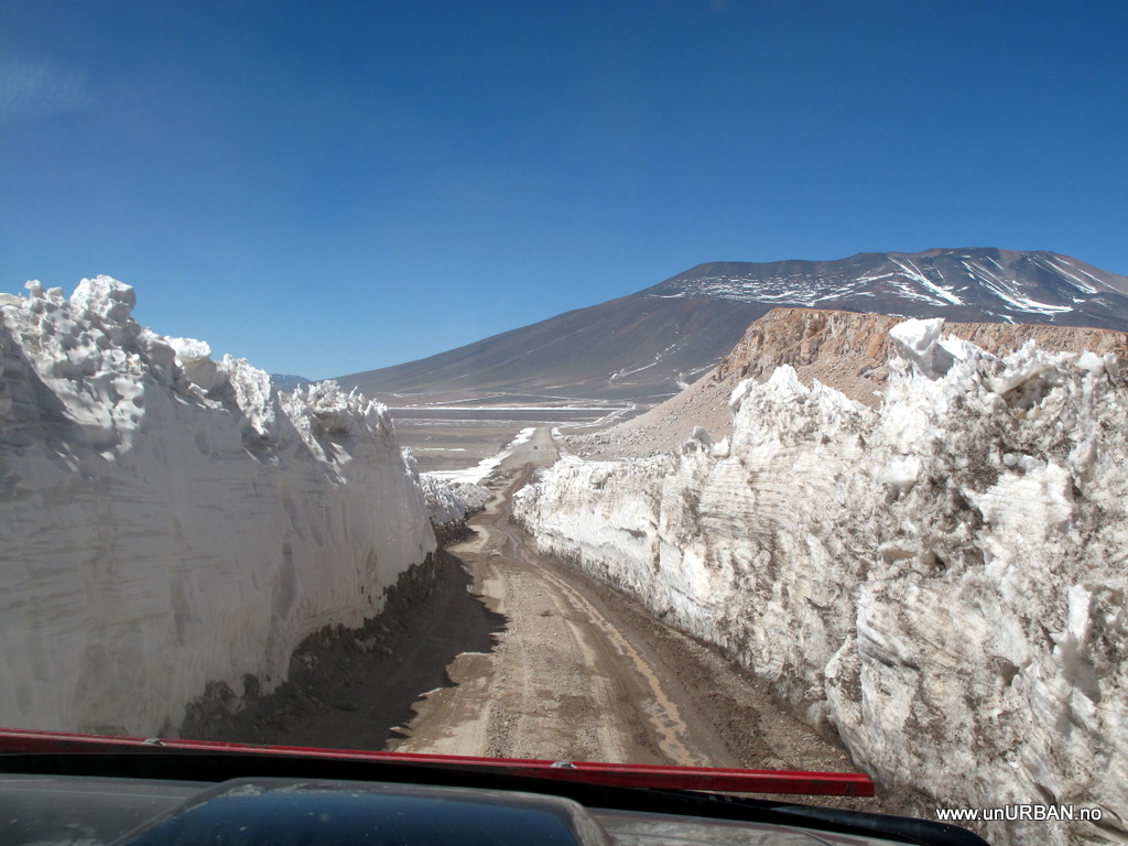
It is funny how you plan your day and get ideas about where you want to go, and then your day turn out to be quite different. Next morning we headed off to the meteorite crater. As we got close to the turn off, we looked for the road, but could not see any. A bit further on we saw two tracks leading up over a hill, but we decided that these tracks could not be the road. Both the GPS and our paper map agreed on that is should be a proper road. We continued a bit further and there we found a road going almost in the right direction. It did not totally match the GPS, but then some times the GPS is not fully updated and new, better roads have been made.
.
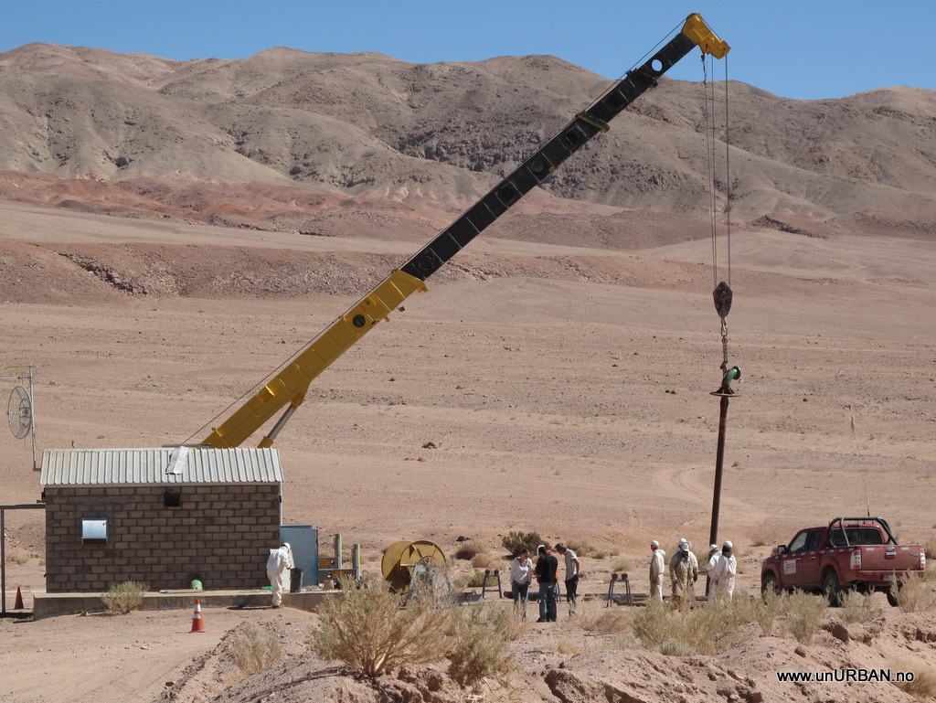
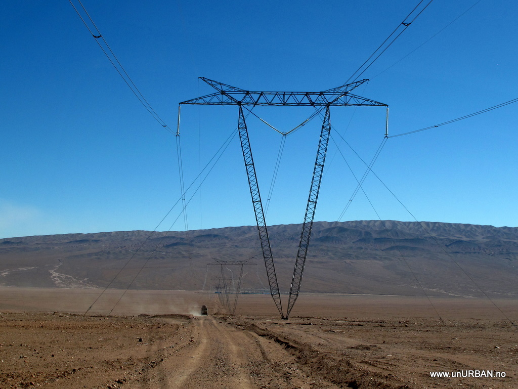
After 25 km on the road we realized the road was not leading to the meteorite crater. Consulting the GPS and map again, we saw that if we continued on the road south we would hit another road that would take us back west to where we would find another road leading to the crater. Continuing south we drove under some big power lines and there was a small road going underneath it and in the direction of the crater, but we decided it would be better to keep to the bigger road. The road took us to a drilling site and we became uncertain if we were allowed to use this road at all because of some “private property” signs along the road. Our maps were also way off in this area. Best option was to ask for directions at the drilling site.
.
.
They said we could continue on the road, but when we got to the big blue house we should ask for permission in case there was some heavy machinery using the road. When we got to the blue house we saw no sign of human activity, and we made the decision to just drive on. Turning back after about 70 kilometers of driving south was not tempting.
.
.
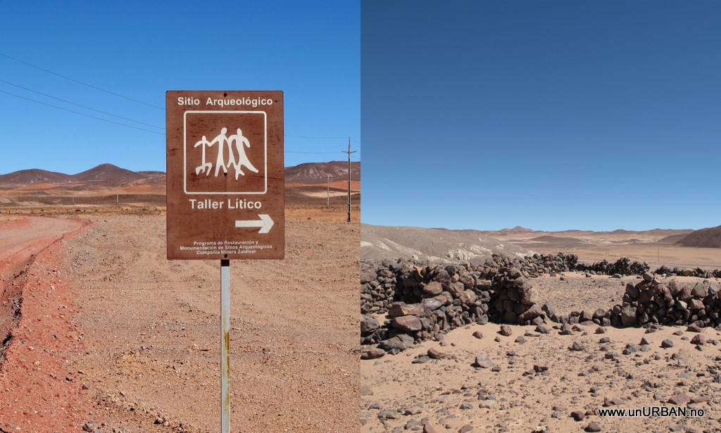
Suddenly in the middle of nowhere was a sign for an archeological site. It was a good time to stretch the legs and maybe it was something interesting. It was the remains after a shelter along an Inca road, the information sign told us. Travelling through Peru we have gotten pretty spoiled when it comes to ruins so we were not too impressed by this site.
.
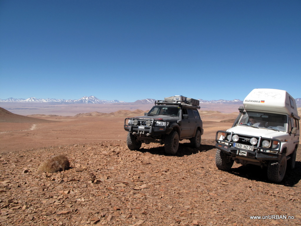
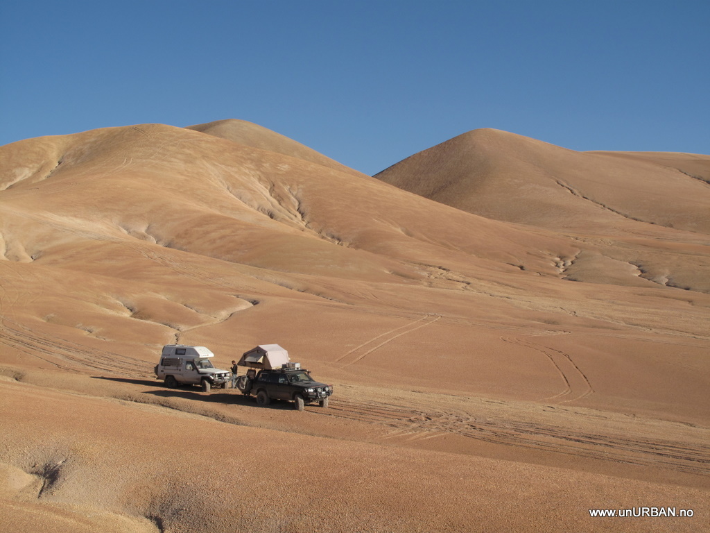
Now we had done a huge loop around the crater and to get to it we had to find a road heading north. The road we were on took us further and further west, and at last we found some tracks going back north towards the crater. After a while driving along the new tracks we stopped for lunch in the middle of nowhere. It was beautiful.
.
.
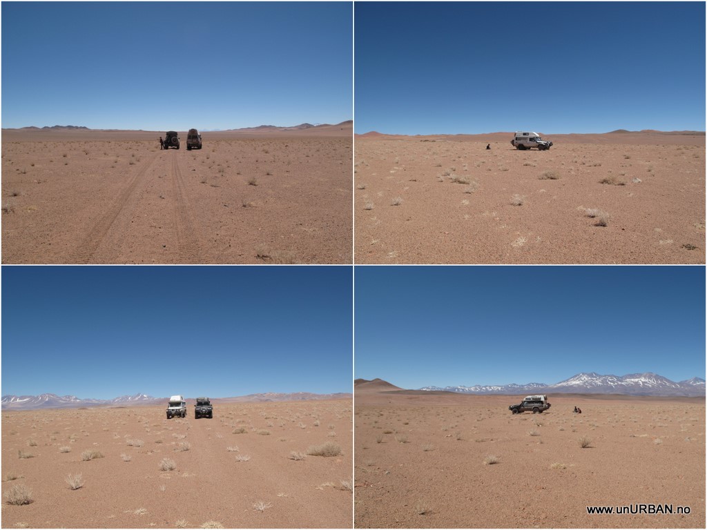
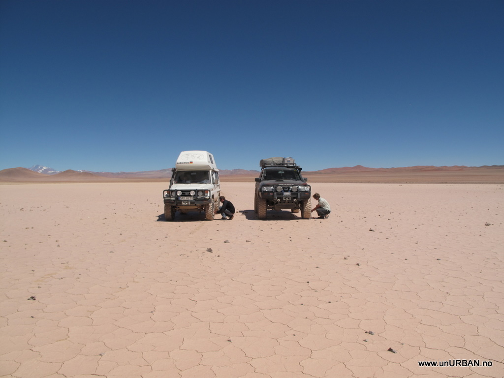
This is a photo taken of our lunch spot from north, south, east and west. Continuing after lunch the road/track became rougher with more rocks and it was time to air down the tires.
.
.
Espen and Georg were pretty synchronized at this job.
.
Driving north on this road/track our GPS showed that we would hit a lager road a bit further north that would lead us east to the crater. As we approached this larger road we saw that it was the road following the power lines that we had seen a glimpse of earlier in the day, and that we had thought was too small.
.
.
After following our power line highway, we finally got to the GPS coordinates for the meteorite crater. But we could not see the crater?!?! Getting out of the cars we had a good laugh because we had spent more than five hours to get this site that we thought would take 30 minutes. We had driven in a big circle, and when we finally got here it was nothing to see.
.
.
That is how it CAN be when you trust some coordinates you just find in your GPS. None of our guidebooks mentioned the crater, we had not read about it anywhere else, and out here in the middle of nowhere we couldn’t exactly look it up on Google... Which we actually did when we got back to a place with internet, and it IS supposed to be a crater up there somewhere!!
.
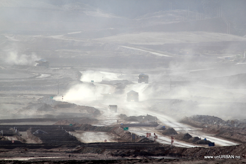
Since we spent the day driving in a circle we realized we would not be able to make it to the coast this day. After not finding the crater we turned west on our power line highway and headed towards a proper big dirt road. Further west we saw the largest movement of earth and rock of the day. It was Mina la Escondida. It is the largest mining area we have seen.
.
.
.
.
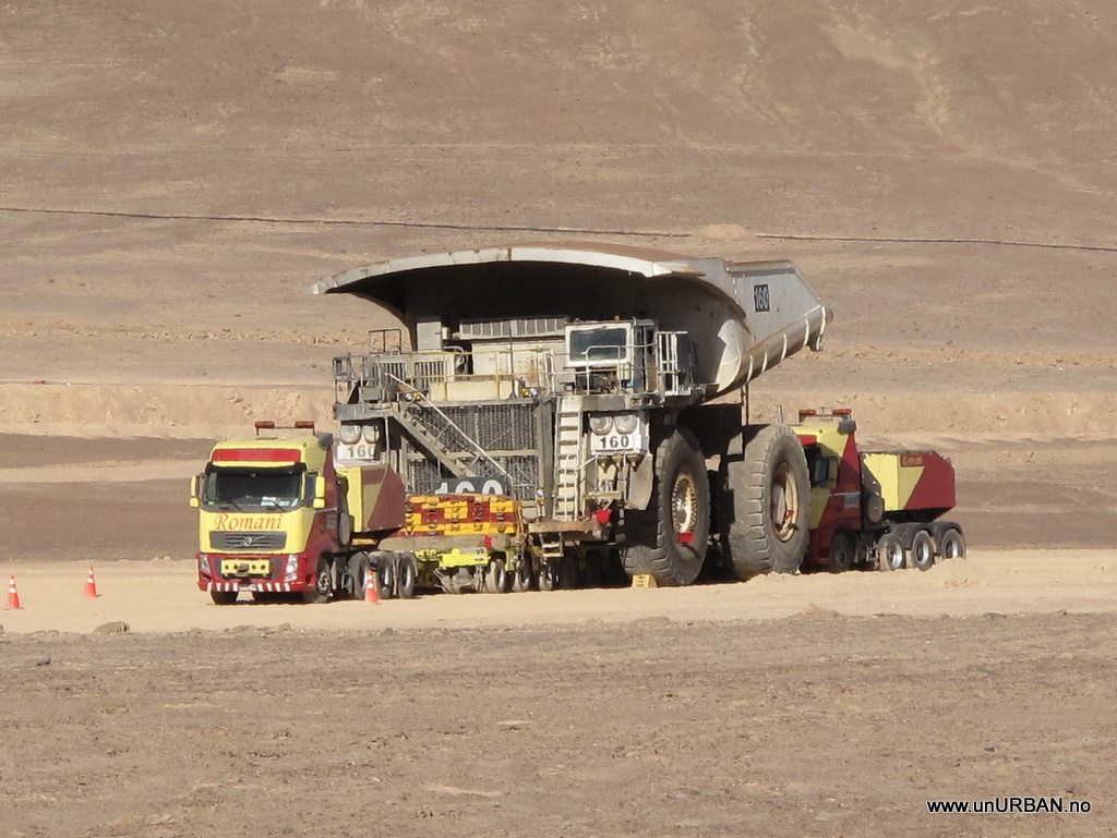
These huge trucks, here next to a normal truck to compare the size, were the trucks driving around in the mining area. It is an unbelievable size for a truck.
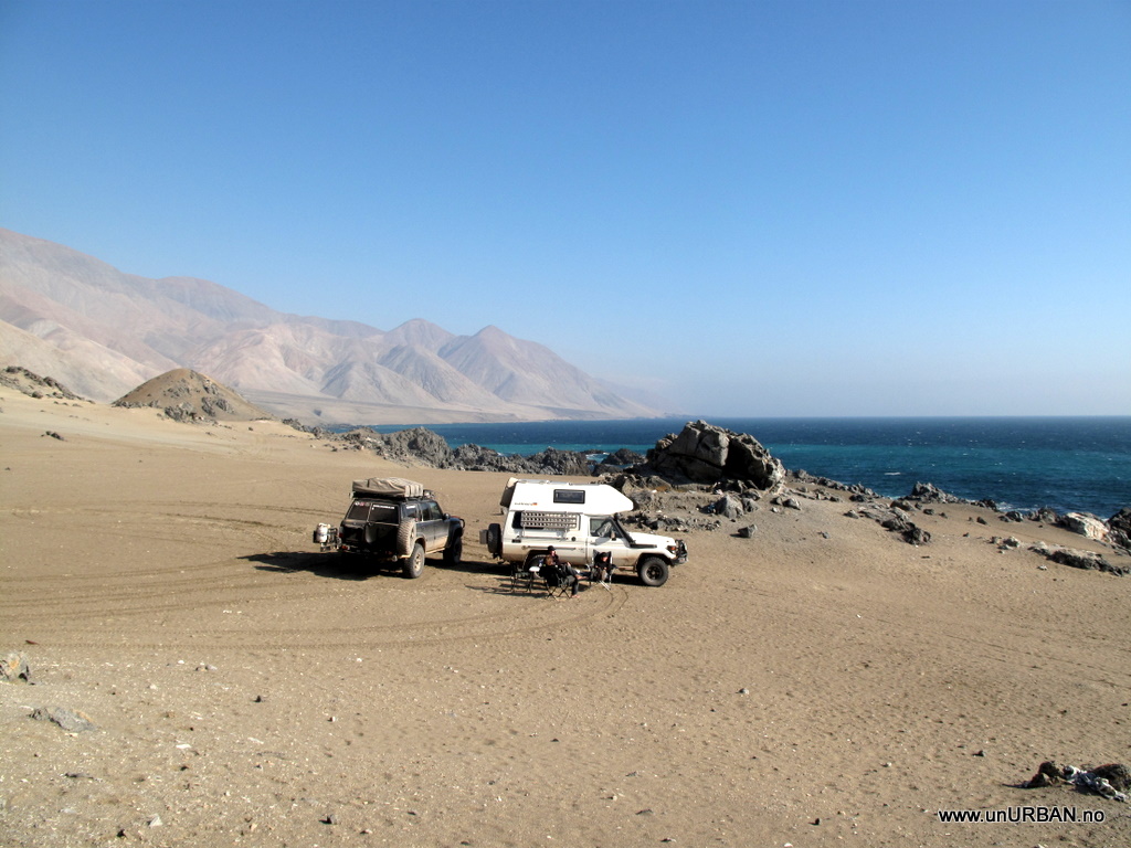
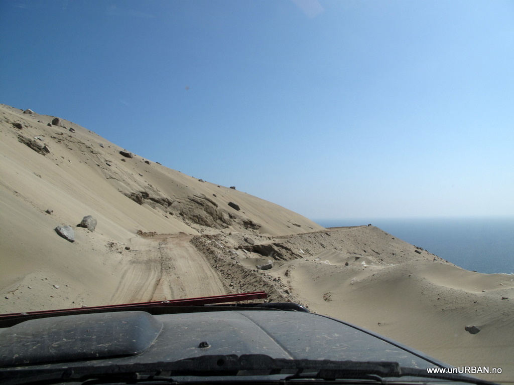
Out of the mining area we finally found a place where we could get off the now paved road and hide behind some sand “dunes” for the night.
.
.
We did have a great day of driving through some very remote parts of Atacama even if it did not turn out as planned. Always keep in mind that even if you plan your day well you never really know how it is going to be in the end...
.
E&M
") The problem would be the pay check.....
The problem would be the pay check.....")