Malin was up early on Monday morning, found the daypack in the back of the car, and went over to the local supermarket to fill up with freshies, meat, and drinks. I was told to get the he## out of bed, and to make sure the diesel tank and an extra jerry can was full, and to get ready to drive. The evening before we had read up on the Kaokoveld, Epupa Falls, Van Zyl's Pass, and been through all the roads in Garmin Map Source on the laptop. Kamanjab to Epupa 440 kms on mostly good roads, from Epupa to and over over Van Zyl's Pass on really bad roads, 150 kms, and at last up Marienfluss and back to civilization on medium roads, about 350 kms. We bought food for about 5 days (and we do of course have more dry food in the car as a backup) and filled up with 165 liters of fuel. On normal roads this would take us at least 1100 kilometers, but a lot less when driving in low range and in soft sand. We also got a few extra Namib Dollars from an ATM, and then we drove towards the border of Angola.
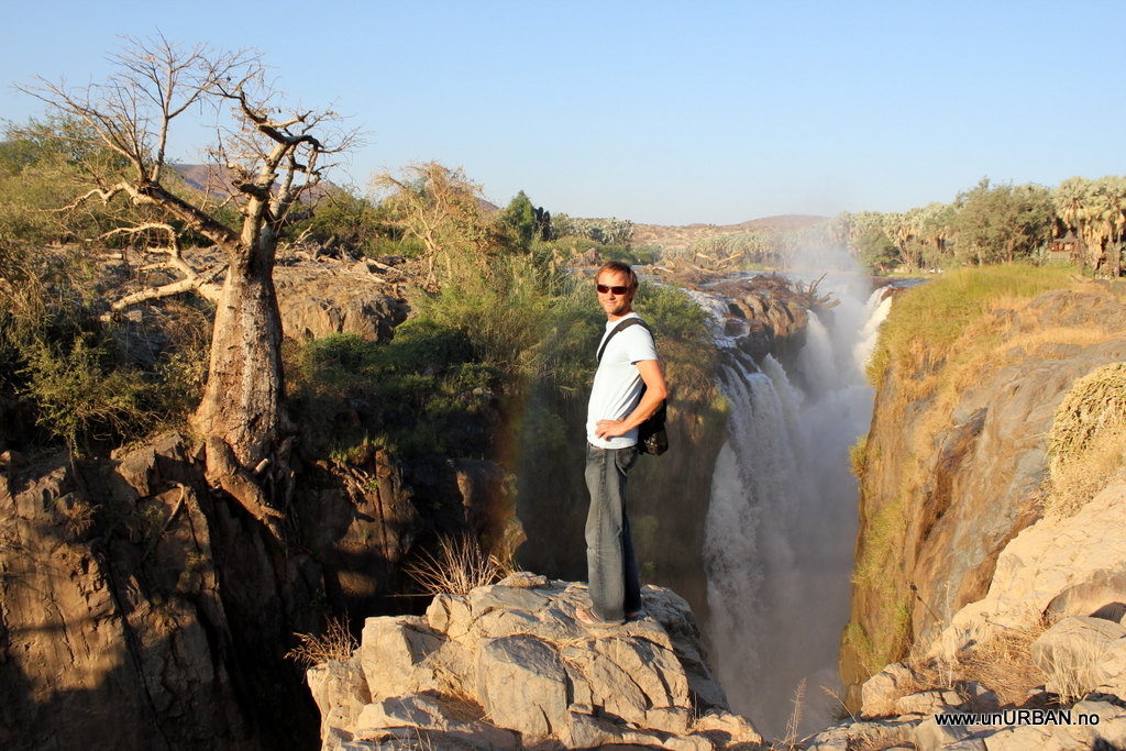
In our maps the last fuel station on our route north is in Opuwo. We stopped and topped up the tank before continuing north. The roads became smaller and smaller, and the people along the road was almost only Himbas. It is funny that the women keep their traditional way of dressing, but the men have all jeans, t-shirts, and pilot style sun glasses. What wasn't so nice was all the people along the road begging. In the afternoon we pulled in to the municipal camp ground in Epupa Falls after about seven hours driving. It looked like an oasis after driving most of the day in a very dry landscape. Kunene River flow west and eventually in to the Atlantic Ocean, and it forms the border between Namibia and Angola.
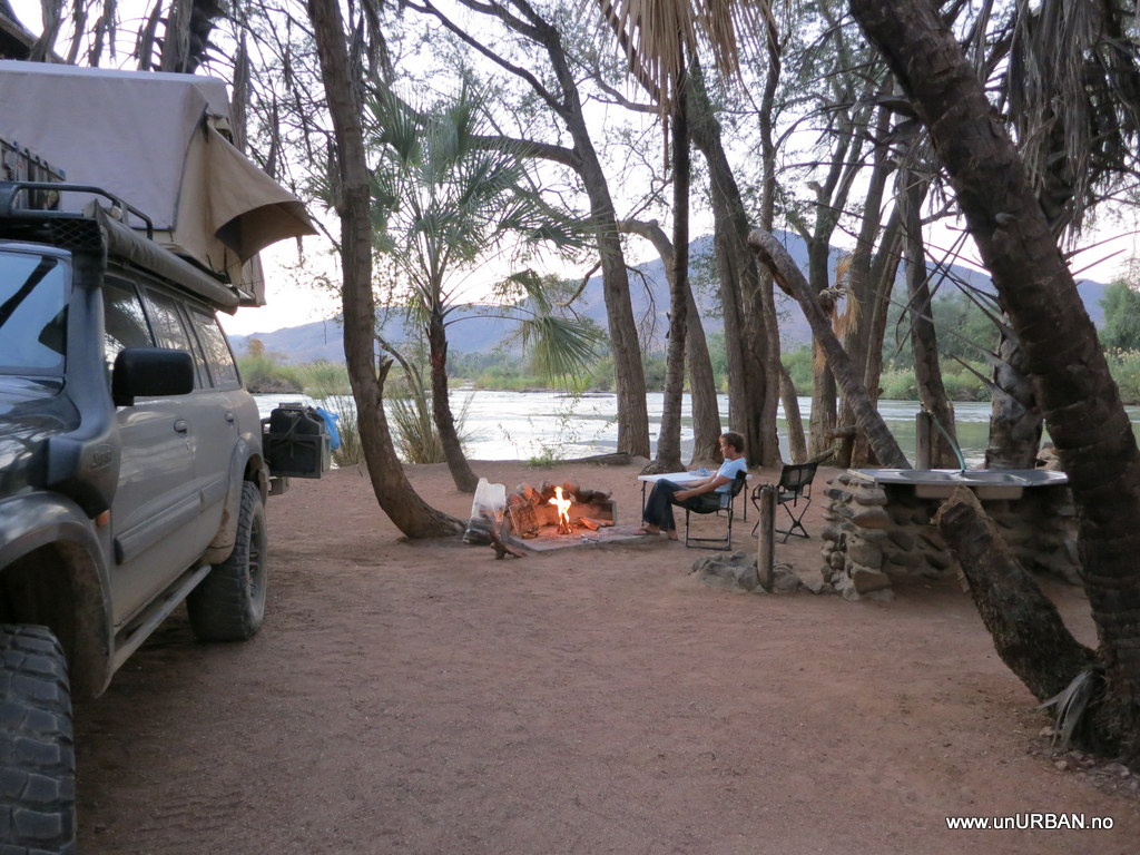
We had been a little concerned about malaria as it could be present in this area, but fortunately we never saw a single mosquito. Barbequing and sitting around the fire in the evening was not a problem even in shorts and sandals.
The next morning we packed up camp and started driving towards Van Zyl's Pass. This is an absolute must do road for all South African and Namibian overlanders. Our plan was to go all the way across in one day, but the road wanted it different.
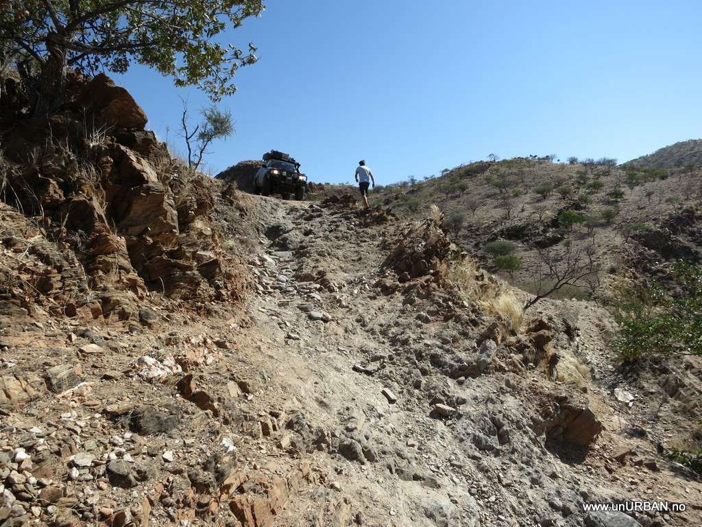
The road leading up to the pass was quite bad and worse than we had imagined. The surface was very rough and with lots of sharp rocks sticking up. To avoid damaging our tires we used low range quite often and tried as best as we could not to hit the sharpest ones. When the sun was setting we still had a few kilometers to the start of the pass, and we realized that crossing the same day in the dark was not a good idea. A nice flat, grassy field in the middle of nowhere became our home for the night, and it must have been the quietest night in Africa so far. Not a sound the whole night.
Early next morning we hit the road and went for the Van Zyl's Pass. And now I see that the roof top tent originally must have been designed for Africa. Even before the sun is up the air is so dry that the tent is dry and ready to be packed as soon as you wake up in the morning. In most of Americas we had to wait for an hour or two after the sun hit the tent before everything was dry enough to be packed up.
Van Zyl's is a road that takes you down from a plateau on about 1300 meters to grassy plains 700 meters further down. It winds through a hilly landscape, down narrow valleys, and with sometimes steep traverses. At several spots along the road the line has to be chosen carefully not to risk both vehicle and crew.
From a view point almost at the end of the Van Zyl's Pass.
I'm not really sure how steep this looks at the picture, but I can guarantee a significant pulse. I also realize that we have a scary combination at this time of high weight, relatively high point of gravity, and way to soft coil springs in the back. We were uncomfortably close to our tipping point / break over angle when crossing some sections where one side of the road was significantly lower than the other. Air bags for the suspension with a possibility for individual adjustment would be very nice to have when you carry a lot weight and want to drive rough roads.
We found our way down, and right behind us came also two other vehicles with a couple of adventurous South Africans. They also made it through without accidents. A bit further down the road however, we came across two other guys in a Landcruiser that had hit and punctured their fuel tank on the way down, and had had to drain 150 liters of fuel into an old drum along the road to temporarily fix the tank and fill the fuel back in. I think they were just done when we met them.
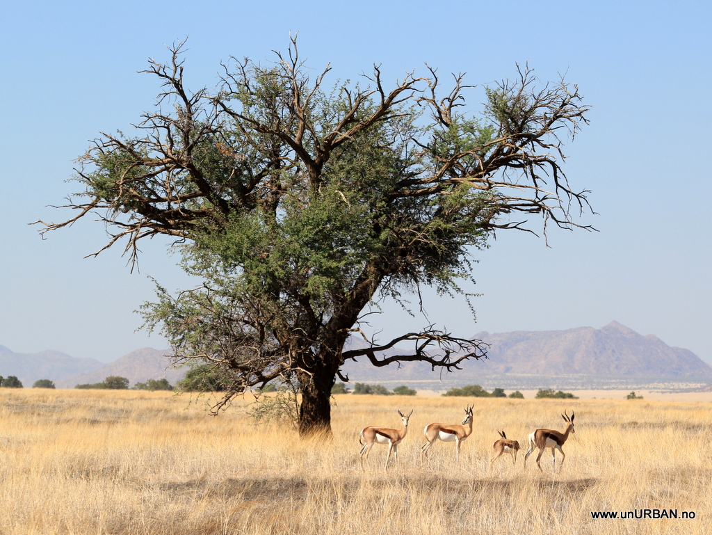
The landscape changes totally after leaving the mountains and driving out on the plains. Back in lion country and with a stunning view. We are driving north in a wide valley called Marienfluss, and after about an hour driving on a two-track on sand surface we are back to the Kunene River and the Angolan border. Looking for a camp by the river, the landscape changes totally again, and we pitch the tent among palm trees.
A little low on fuel (we were not supposed to drive all the way back up to the border), we sit down after breakfast with the Garmin Map Source and look through different alternative routes back into Opuwo. We are looking for the one with the shortest driving time, as this would normally mean lower fuel consumption when on bad roads or offroad. We drove south to Rooidrum (“the red drum”
")
and on to Orupembe where we turned east towards Opuwo.
In a full day of driving we saw one other vehicle. As the sun was setting we pulled in to a lodge/camp in Opuwo, and as we left the main road the fuel lamp came on. Perfect timing and perfect fuel calculations. And we had one full jerry can left with diesel. 740 kilometers on 125 liters. Not too bad considering the bad roads and several hours in low range (and air condition….).
320 kilomters was left to drive from Opuwo to Kamanjab, and on this drive we wanted to drive through the Khowarib Schlucht (gorge).
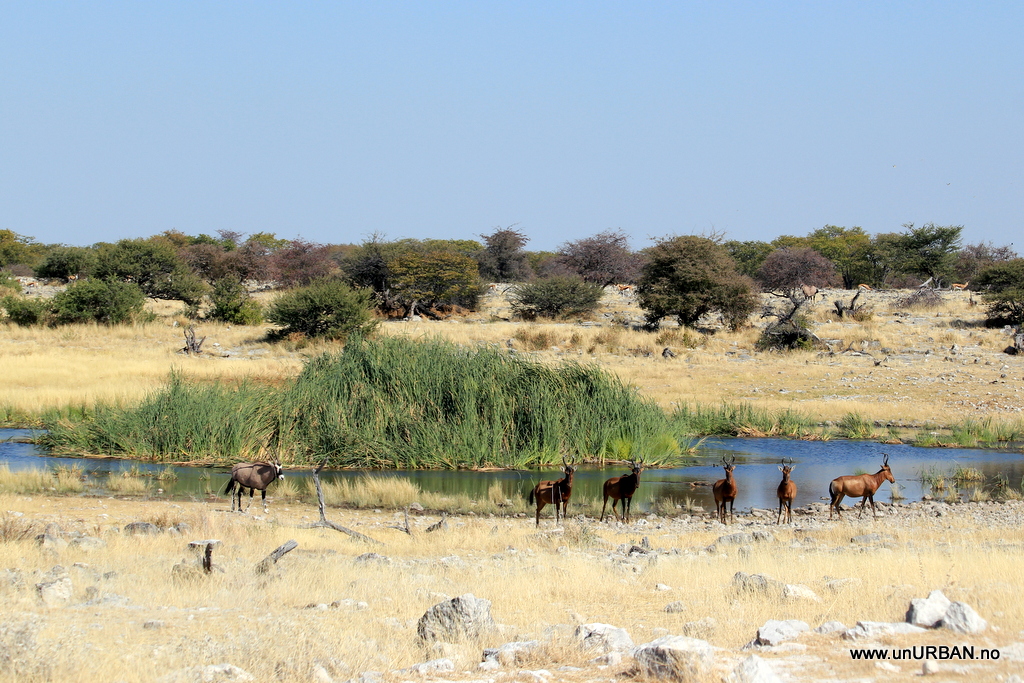
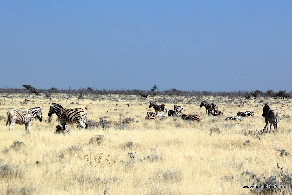
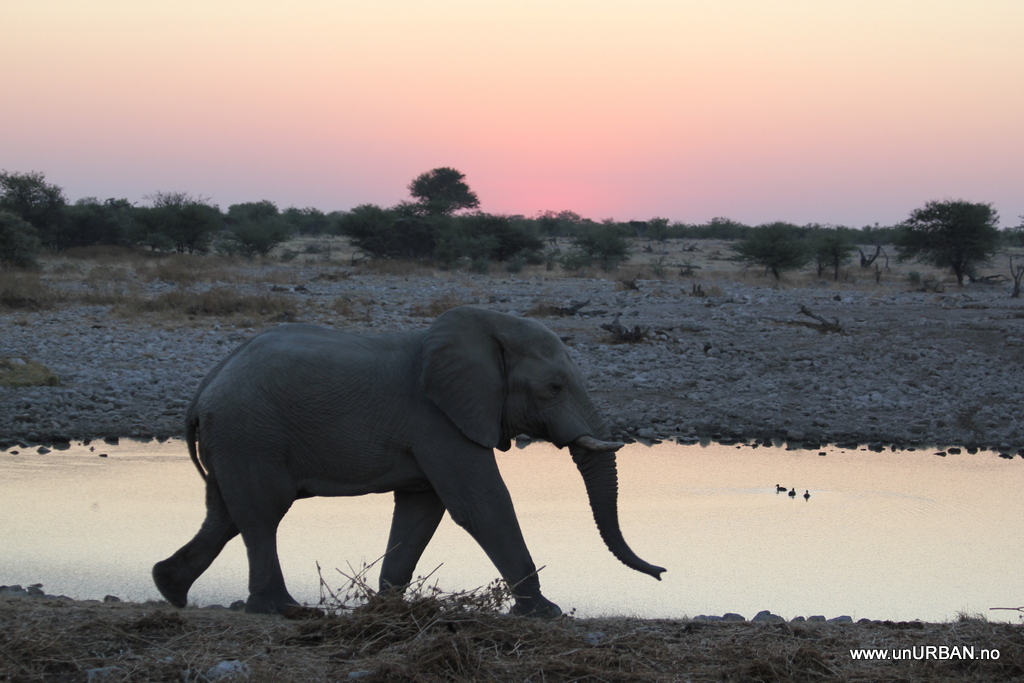
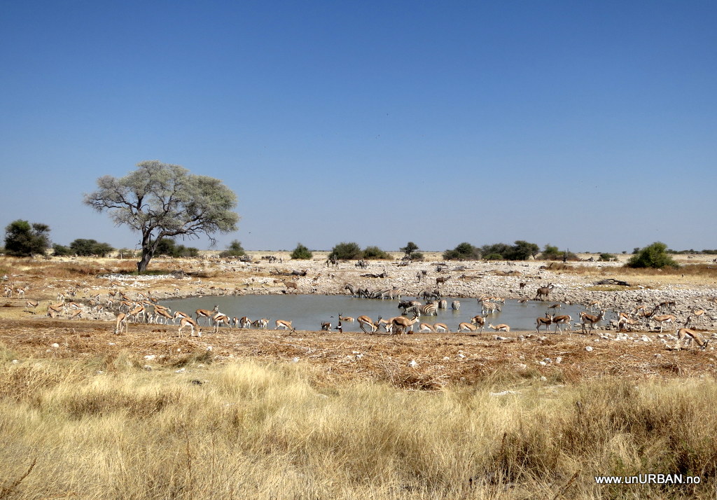
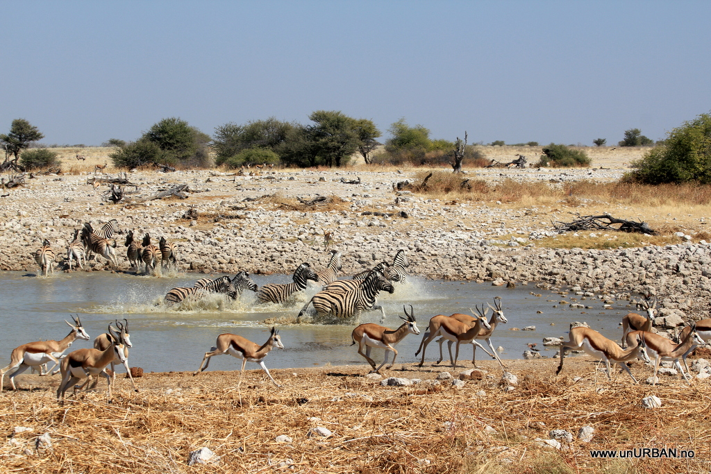
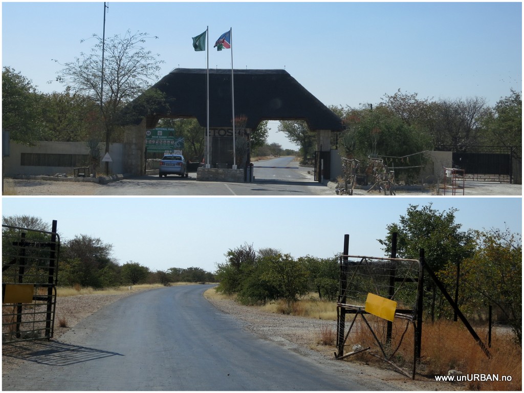
The drive is mostly along and in the mostly dry riverbed. We were hoping to see elephants, but hey were obviously booked elsewhere this day. It was still a very nice drive. Now are we again back at the Oppi-Koppi-Kamanjab and plan our next moves, and it will include a visit to the Etosha National Park before crossing the border to Botswana.
More soon!
Espen
")