Yet another adventure...White Mtns, AZ 01/30-01/31

timh

Explorer
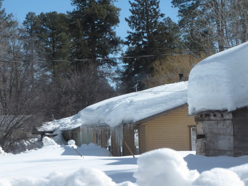
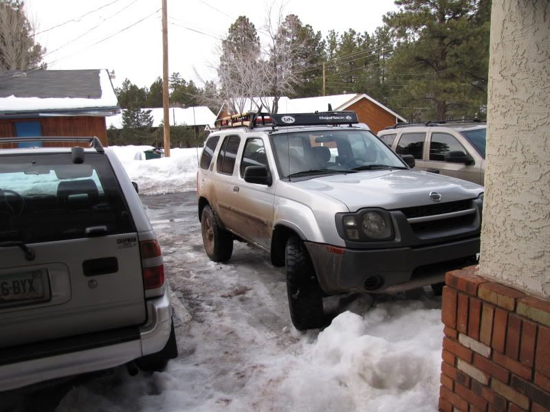
We decided it was time to head up to the White Mountains to see some real snow. I personally have never seen more than a foot of snow so I wanted to get a taste of what a few feet was like. We left Saturday morning at about 5:30am. We were in Pinetop-Lakeside by 10:30.

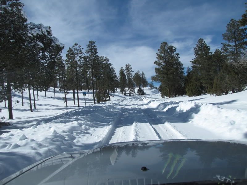
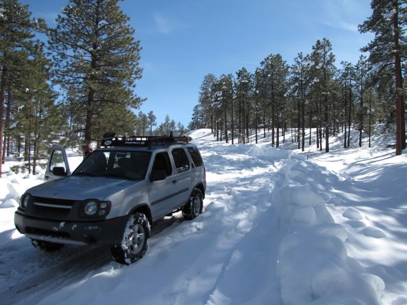
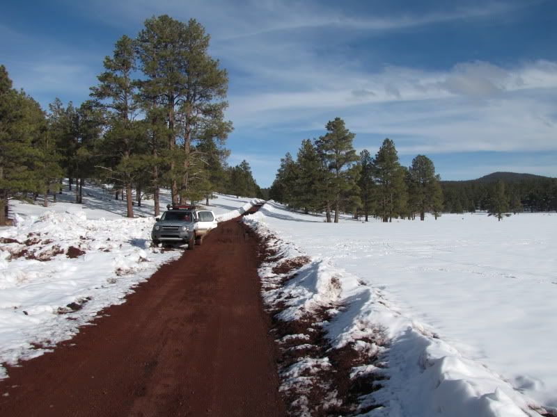
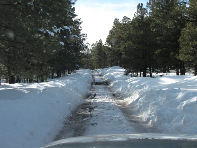
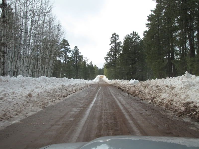
1st on our agenda was to travel the dirt road from McNary north to Vernon.
IMG_2436.jpg


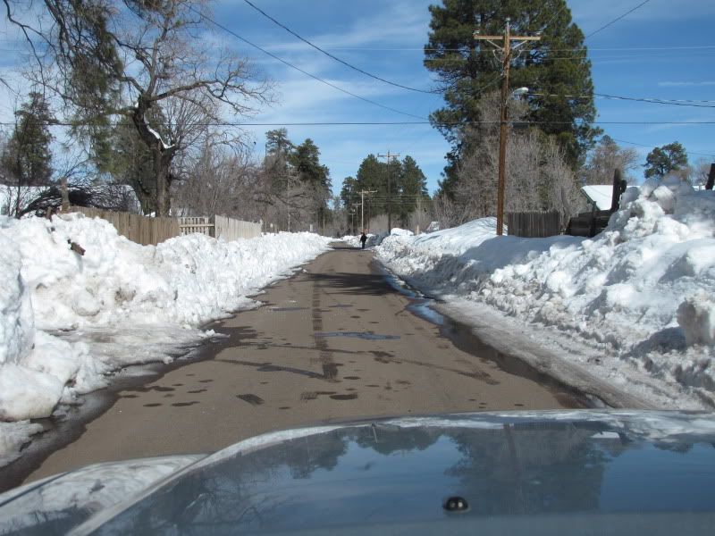
Only problem was the road was unplowed and under about 3 feet of snow so we drove around McNary a little bit.
IMG_2438.jpg


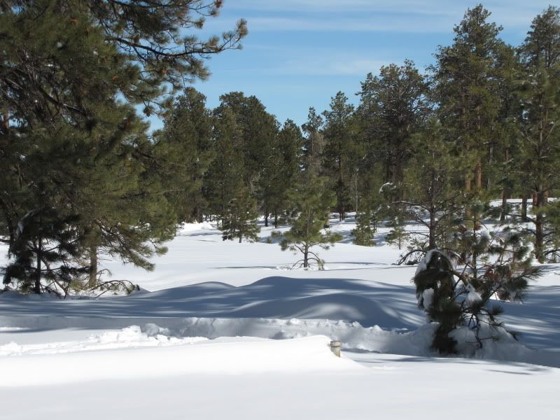
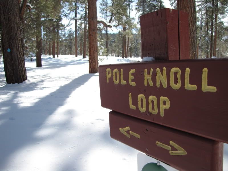
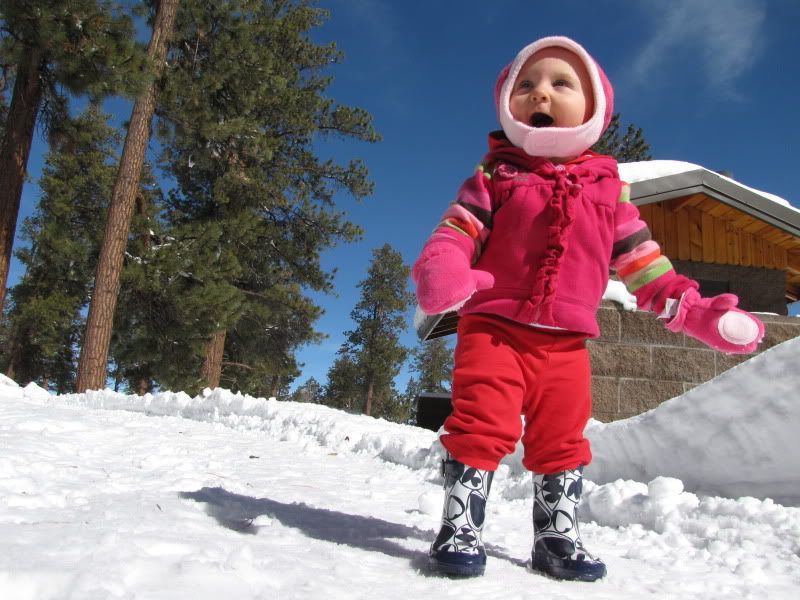
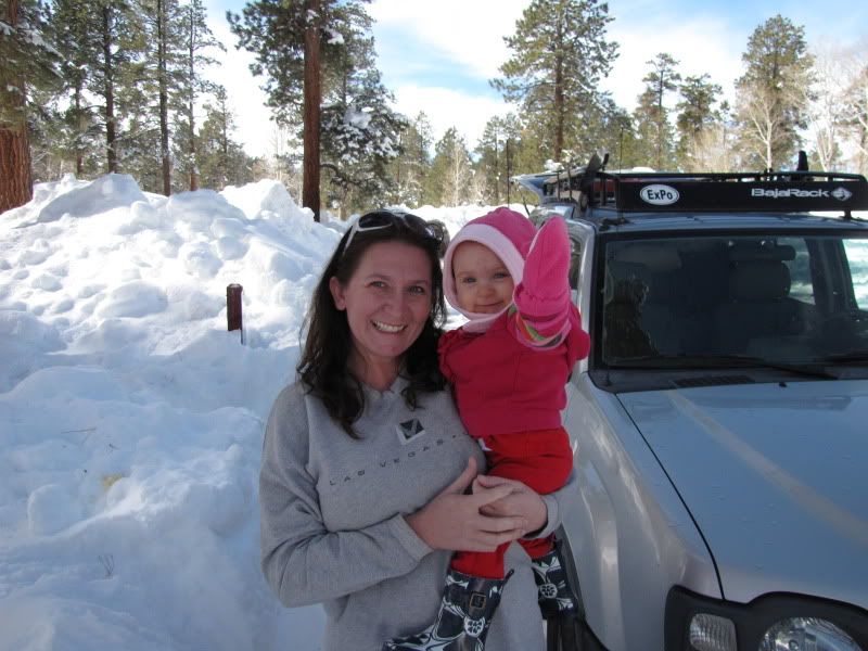
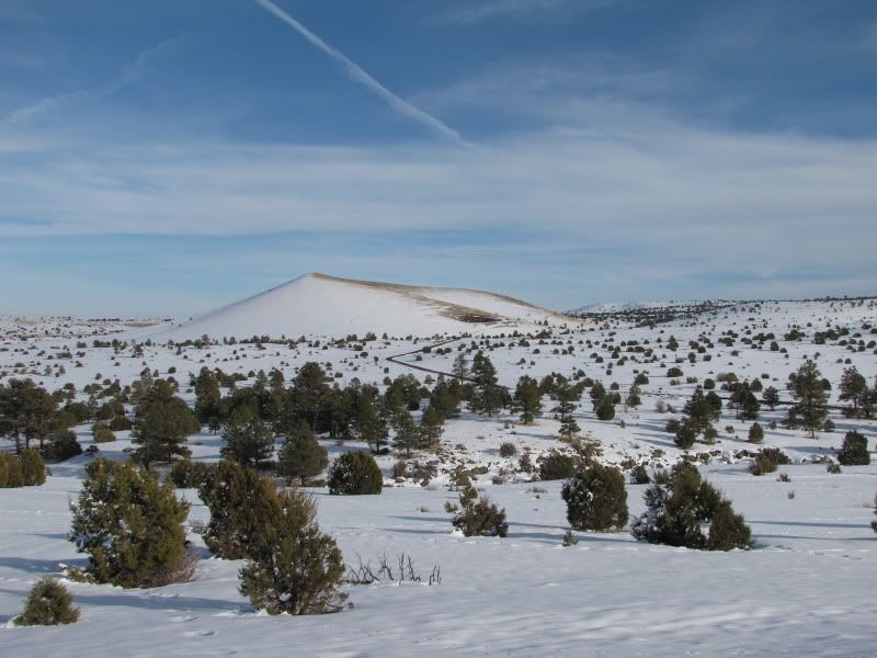
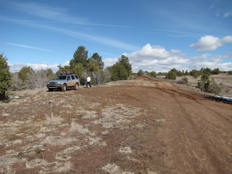
We then headed East toward Sunrise only to find that nearly all side roads were closed so we finally pulled off at a place called Pole Knoll, apparently this was a popular spot for Cross Country skiing.
IMG_2442.jpg


IMG_2446.jpg


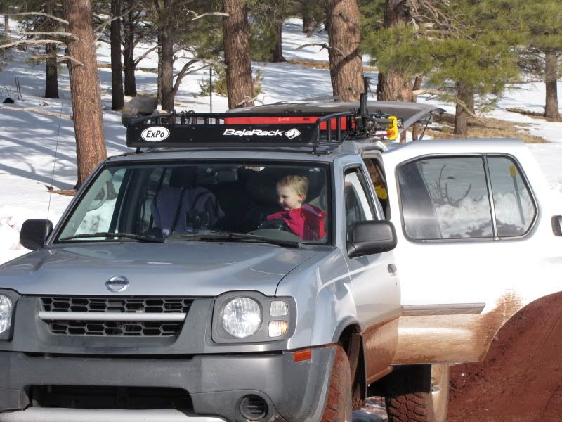
We got Kiley all bundled up and let her play in the snow a little bit.
IMG_2454.jpg


IMG_2448.jpg
 

timh

Explorer
We kept heading east with the intent to go into Springerville/Eager and loop back around to Showlow. We turned South on Hwy 261 toward Big Lake only to find it unpassable about 4 miles up.
IMG_2470.jpg


IMG_2472.jpg


After hanging out in Springerville for a while we headed west again on 60 back toward Showlow. Before long we saw a road that looked open going south into the hills.
IMG_2507.jpg


IMG_2502.jpg


IMG_2505.jpg


We took that road back into the pines for about 7-8 miles, we travelled it from only a few inches of snow to a few feet of snow. It dead ended at some cabins so we turned around and backtracked to the highway again. During one of stops our 15 month old thought it must be her turn to drive.
IMG_2503.jpg


Well, back to Pinetop for the night and into "camp," the Woodland Inn & Suites.
IMG_2509.jpg


The next morning we got up, went to the Mexican breakfast Buffet next door and stuffed ourselves before leaving town. Sorry, I didn't think to take any pictures of my food:ylsmoke: We didn't want to go home the same way so we headed west on 260 through Heber-Overgaard.

This was the entire sum of all the wildlife we saw over the weekend.
IMG_2513.jpg


We then went south on 288 through Young. Where we turned onto 288 was probably the most snow we encountered all weekend, maybe 4-5 feet.
IMG_2514.jpg
 
Last edited:

timh

Explorer
While driving through Young we felt like a detour down Cherry Creek road a bit.
IMG_2516.jpg


IMG_2520.jpg


On the way up over the Sierra Ancha's were were amazed by the amount of storm damage. They were hundreds of trees that had been cleared from the road.
IMG_2527.jpg


This little side road was especially nasty, there were so many downed trees and branches you can see under me where someone must have caught a tranny line. When I tried to turn around I slid into the ditch and had to work back and forth for about 10 minutes before pulling out. I think I may get a winch soon.
IMG_2529.jpg


Not surprisingly the Salt river was flowing pretty good.
IMG_2544.jpg


IMG_2548.jpg
 
Wonderful story, and a beautiful couple of days out and about! Thank you for sharing. I think that sometimes, the best routes end up being the ones that you had decide up as you go along due to unforeseen circumstances. It certainly makes things more exciting--albeit sometimes frustrating!

Well done on getting the family out. Can't wait for your next trip.

(Oh, and family solo backcountry trips like this I take very often... a winch was one of the best investments I've made. Makes me and my daughter/girlfriend very warm and fuzzy to known we're not walking out. Strongly recommended. :D)
 

Lichen

Explorer
Wow, you don't often see Cherry Creek with that much water. I hope to make it up there over the upcoming 3 day weekend.:smiley_drive:
 

BKCowGod

Automotive ADHD is fun!
Absolutely love the second-to-last pic (Salt River) - If you are willing to send me a larger (1280xWhatever) version of that, I would love to use it as one of my backgrounds.
 

outdoorsman

New member
Looks like fun! I'll be heading up to Eagar/Springerville tomorrow for a few days. Hopefully there will be a little less snow so I can travel some backroads. The road between Vernon and McNary is a nice road to cruise on. There is also a road between Greens Peak (right off of 260) that runs North to the 60. It is like the road between Vernon and McNary as far as a gravel/dirt road and scenic as well. A few miles (West) outside of Eagar there is a refuse station and if you take that road North about a mile or less there is a smaller two track road to the left. This opens up to tons of other small roads. Usually you can get around here as it is lower in elevation and seems to be more on the "dry side" of the mountain. You have a great chance of seeing elk, antelope, and coyotes in this area. There are a lot of cattle gates and some old abandon cabins that are neat to check out too.
 

dirty Bakers

Conservative
The salt river is a cool picture. Did you modify the exposure in any way? I realy love that area. We have spent many summers near lake mountain look out.
 

A7XJ

New member
Enjoyed the write up. I have never seen the road between vernon and mcnary open with that amount of snow. Definately made me jealous. Wish i could run up there right now.
 

timh

Explorer
Absolutely love the second-to-last pic (Salt River) - If you are willing to send me a larger (1280xWhatever) version of that, I would love to use it as one of my backgrounds.

If you want to PM me your e-mail I can send you the full size pic!
 

timh

Explorer
Enjoyed the write up. I have never seen the road between vernon and mcnary open with that amount of snow. Definately made me jealous. Wish i could run up there right now.

We tried to take that road but it was closed. We just kept heading east until we found something we could drive.
 

Forum statistics

Threads
188,712
Messages
2,909,424
Members
230,892
Latest member
jesus m anderson
Top