OK, folks here are my writeups from the trip... I apologize that many of the pics are repeats of what has already been posted here but I thought I'd throw up my thoughts as well!
Chiricahua Mountains Expedition Day I
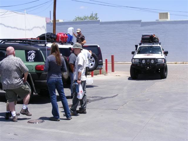
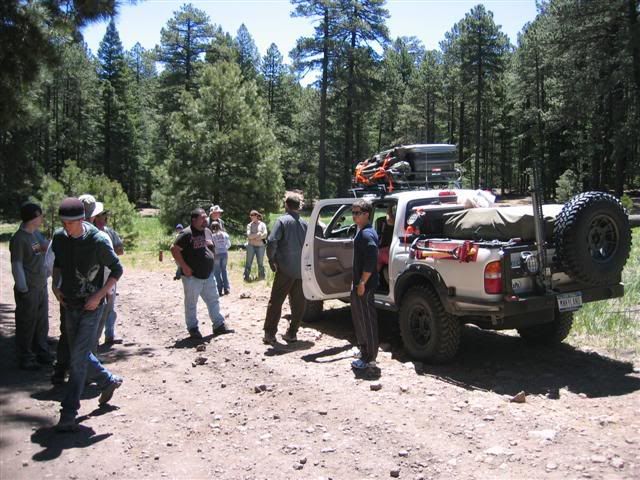
After a hearty (read, HEARTY) breakfast at the Triple-T Truckstop, I met up with the gang from Phoenix and the folks from Tucson in the parking lot. The necessary oogling of the rigs took place as always with many people sporting cool new toys. After that and being accosted by a guy with a nice Tacoma (check out my black headlights!) we were off.
Reaching Wilcox we met up with spertierra from California and gassed up for the last time. With one more truck in the group, we had to re-oogle.
Looks like Jim had a lil' Captain in him that morning!
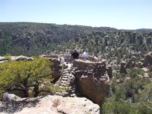
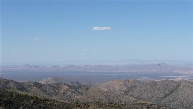
From there we went first to the Chiricahua National Monument which features scenic vistas across bizarre rock formations. The road to the monument is paved and accessible by any normal vehicle (we saw the Scooby Van up there) and the facilities were by far the cleanest outdoor toilets on the planet, complete with hand sanitizer!
Another highlight (and pretty much something straight out of the game Myst) was this natural 'lookout platform thingy.'
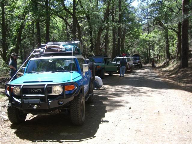
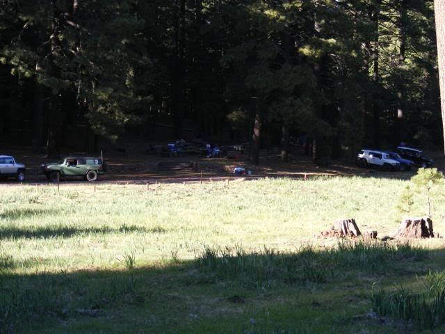
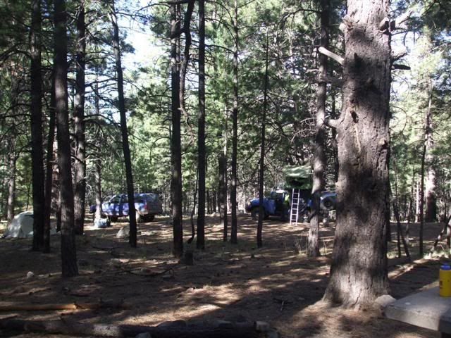
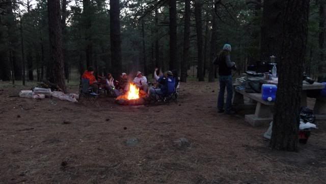
Leaving the monument we turned towards the Chiricahua Mountains and the road turned to smooth dirt. We reached the Rustler Park campground which is at about 8500ft and camped near a pretty meadow. There were some wild turkeys there who responded with gobbling to my Howard Dean “BYAH!” calls.
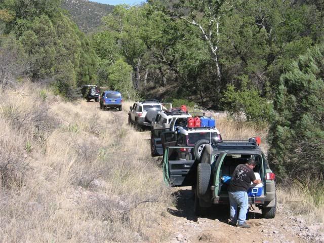
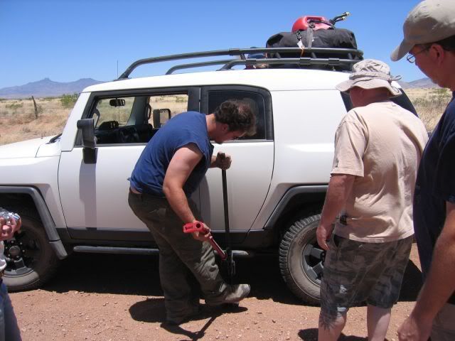
Airing down...
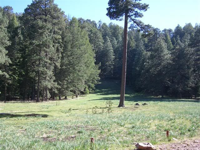
The meadow...
The campground had all the features you'd expect of a developed National Forest site: picnic tables, fire rings, etc. Unfortunately the open meadow and high elevation made for a very windy and COLD night.
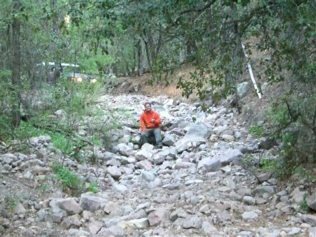
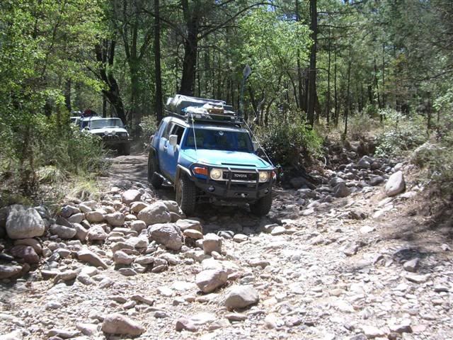
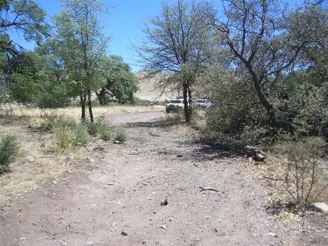
There were rumors that the route we intended to take was either badly washed out or completely destroyed and impassable. After establishing the campsite, the R2's and I went ahead to check it out. In the area near Pine Spring, the dirt and woods trail abruptly ended and was replaced by what can only be described as a river of rocks. Yes, there was in fact an incredible amount of destruction... but impassable? We shall see...
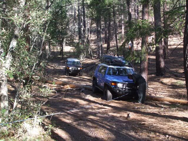
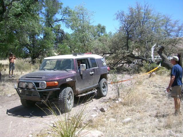
On the way to the impassable section there was a log fallen across the trail. While it appeared some people had bypassed it to the right, we were not about to do that. TREAD LIGHTLY ideals and good trail manners do not permit blazing new paths to avoid a temporary obstacle, so we either had to move the log or attempt to cross it.
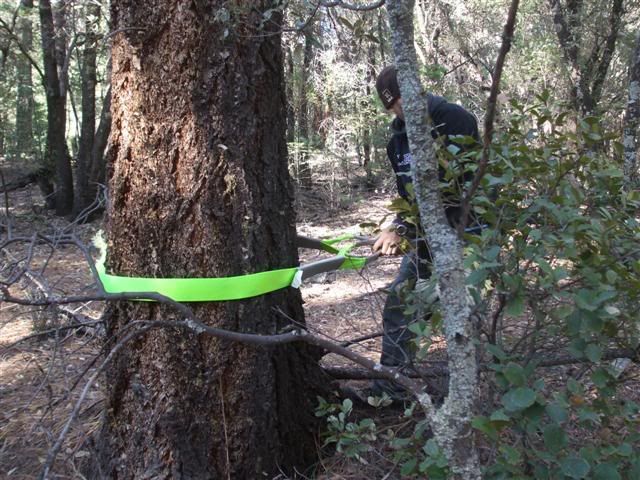
While crossing the log, Josh's rear diff decided it was in love with trees and began a torrid metal/wood affair. Their love was inseparable, we had to break it up with the winch. Luckily there were tons of huge trees to use as solid winch points.
Josh throws a 'tree saver' strap around our friendly wooden winch buddy...
Of course the winching was a success!
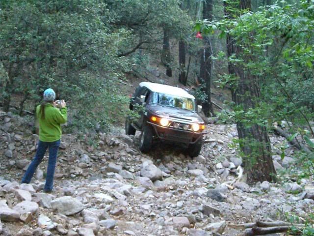
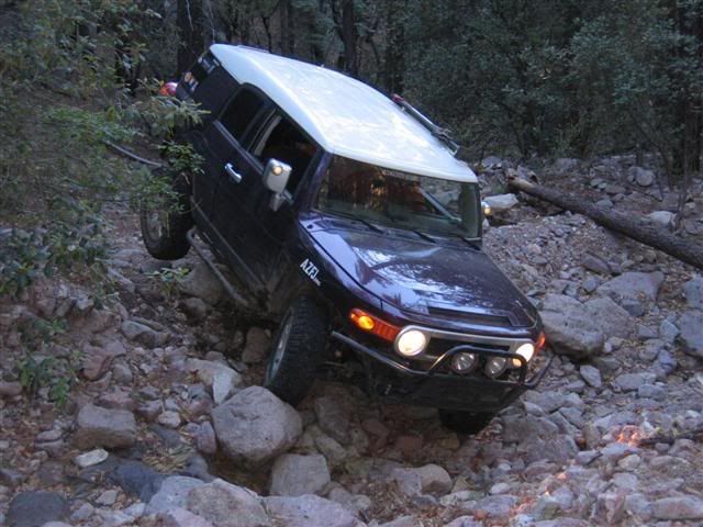
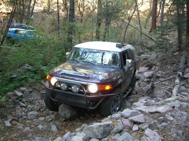
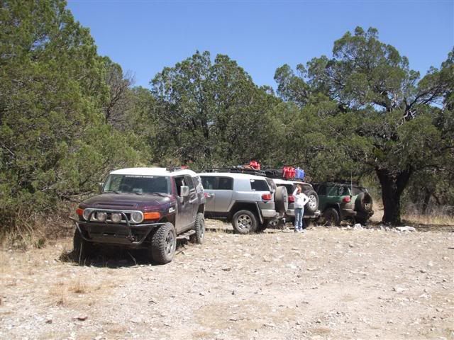
I wheeled through the first major section or destruction without incident, but turned around and came back not after long. The rock garden continued as far as you could see and crossing it would have taken quite some time. Plus, we had determined what we came to find out – the group would certainly not be taking this route..
Section of destroyed trail... (sexy man inserted for scale)
Coming down a short descent...