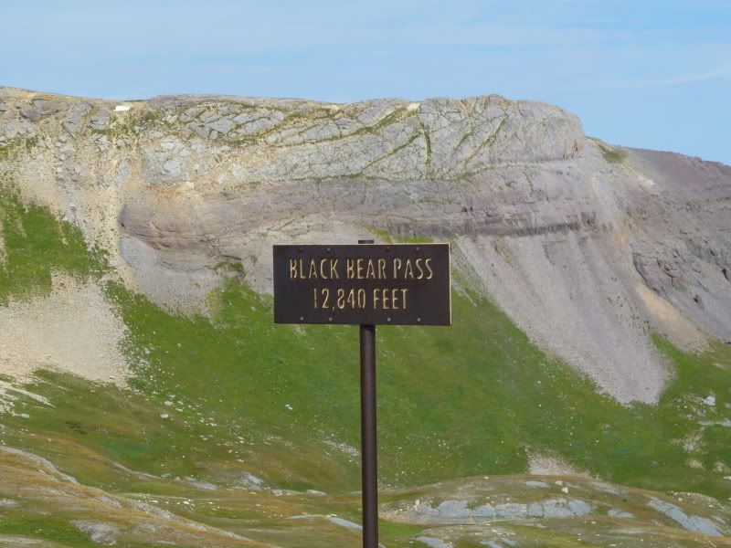
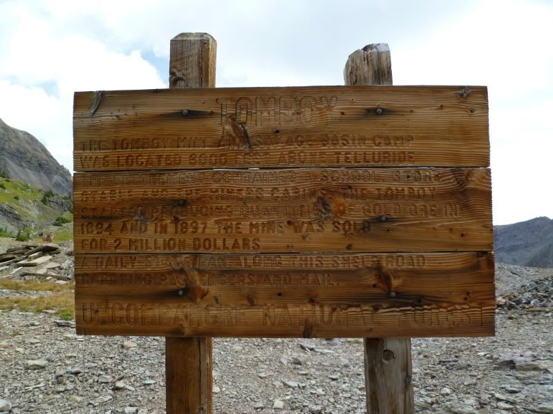
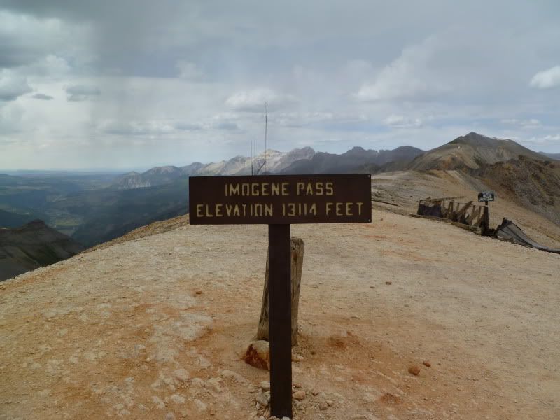
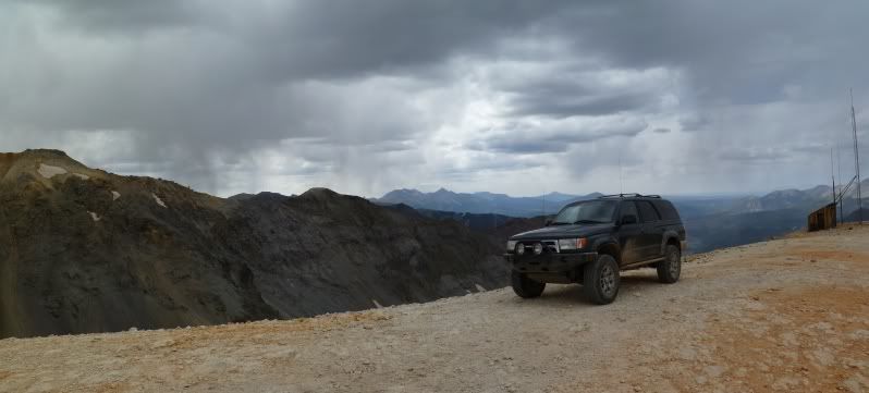
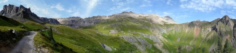
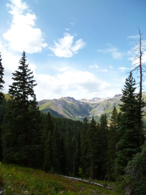
Get way to Ouray, Colorado before you go mad

ttora4runner

Expedition Leader
Ye old mill
P1020386.jpg


Inside
P1020403Stitch.jpg


P1020410.jpg


This was about as far I as dared to adventure into the building. Though I still can't but wonder what it looks like further up.
P1020413.jpg


P1020414Stitch.jpg
 

ttora4runner

Expedition Leader
Animas Fork to Ouray

After spending some time around here it was down the gulch and over to Animas Fork
P1020428.jpg


Just a shot or two of the area, since I explored it back in 08
P1020429.jpg


P1020426.jpg


P1020451.jpg


What I really wanted to see was the remains of Frisco Mill since I didn't make it up to it when I visisted back in 08.
P1020456Stitch.jpg


P1020461.jpg


P1020492Stitch.jpg


Inside

Remains of the old chute system. I couldn't believe how the chute system was run and how they kept track of it all since they ran all over the place.
P1020469.jpg


The cable system their using to keep the place from collapsing any further
P1020482Stitch.jpg


P1020485Stitch.jpg


P1020515Stitch.jpg


The stairs to left of this picture that leads up to the small platform was creepy yet again. I have a lot of these moments exploring these old buildings.
P1020519Stitch.jpg


View looking up from that one platform
P1020523Stitch.jpg


As I explored the structure I couldn't keep but wondering as to how much longer this building is going to be able to stand up to elements before finally giving in. For now it's still here. Once getting my fill I head back down to Animas Fork then up the North Fork Cutoff to head on back out along Enigneer Pass to Ouray.

Along the way
P1020533.jpg


P1020536.jpg


Coming down Engineer Pass I decided to make a quick stop out around the Mineral Point area to do some exploring around another site that I was back in 08.

P1020537.jpg


P1020539Stitch.jpg


P1020544.jpg


P1020549Stitch.jpg


P1020551.jpg


The view inside. I only venture up the stairs to view into the second floor but didn't go any further. I didn't feel like walk on all the animal poo that was all over the floor.
P1020553Stitch.jpg


Somewhere on out to Mineral Point a place that will have to wait for another time
P1020561Stitch.jpg


Once back at camp it was the normal dinner around the fire and more reading and relaxing for the day. Bedtime came around 930 pm something that just isn't normal for me.


Saturday and Sunday still to come.
 

Adventure Jeep

Adventurer
Great write up and pictures. Poughkeepsie Gulch isn’t all that bad going down but there are a few spots, one in particular that can be a challenge going up. You’d have made it but I think you saw more the way you went…. Lots of great mine structures etc.., there aren’t any on the way down Poughkeepsie Gulch.
 

Vermejo

Adventurer
Great shots,Teaaron. You covered quite a bit of country! I'm glad we bumped into each other in Ouray.
 

ttora4runner

Expedition Leader
Great write up and pictures. Poughkeepsie Gulch isn’t all that bad going down but there are a few spots, one in particular that can be a challenge going up. You’d have made it but I think you saw more the way you went…. Lots of great mine structures etc.., there aren’t any on the way down Poughkeepsie Gulch.

I'm pretty sure that I could've made it but I just didn't want to chance it.


Great shots,Teaaron. You covered quite a bit of country! I'm glad we bumped into each other in Ouray.

I did. I think Sunday I may have covered a little more. It was good meeting you and girlfriend.
 

ttora4runner

Expedition Leader
The plan for Saturday was to run Black Bear Pass then back to Ouray via Imogene. The last time I ran this trail was with the Rising Sun Landcruiser back in 2008. I think at that time their was about 15 vehicles on that run so I wasn't able to explore as much as I would've liked. This time around it was just me.

Trail head sign
P1020571.jpg


P1020572.jpg


P1020574Stitch.jpg


P1020576Stitch.jpg


Starting to near the pass
P1020582Stitch.jpg


Optional waterfall/ledge line. The old 4runner just walked up.
P1020591.jpg


Black Bear Pass
P1020604.jpg


What laid ahead.
P1020594Stitch.jpg


Looking back towards the route up.
P1020599Stitch.jpg


P1020605Stitch.jpg


P1020608Stitch.jpg


P1020611Stitch.jpg
 
Last edited:

ttora4runner

Expedition Leader
Telluride down below.
P1020626.jpg


One of the old tram towers still standing.
P1020628.jpg


Zoomed in
P1020629.jpg


Okay, where did the road go.
P1020637.jpg


Once past the despairing road. There's another old mining site and waterfall.
P1020644.jpg


P1020652.jpg


P1020662Stitch.jpg


Coming down the pass.
P1020665.jpg


Bridel Veil Falls
P1020672.jpg


P1020679.jpg


Once down the pass I headed into the city park in Telluride for lunch and a rest. After eating I took a stroll down main street looking at all the different shops. The only shop that I stop in was a book store to pick up some postcards to send to my family. All the other shops I just kind of felt out place so I didn't go in. Telluride was also in the process in setup for their annual film festival so the streets and sidewalks were busy.

To avoid traffic trying to get though town to reach the trail head for Imogene Pass I took the side roads to avoid a lot of the traffic.
 
Last edited:

ttora4runner

Expedition Leader
Telluride from Imogene Pass trail.
P1020684Stitch.jpg


P1020703Stitch.jpg


P1020707.jpg


Looking towards Black Bear Pass from Imogene.
P1020710.jpg


P1020717Stitch.jpg


P1020719Stitch.jpg

One of the old mining structures on the way up.
P1020725.jpg


P1020730Stitch.jpg


Back in 2008 the weather wasn't all that great so I wasn't really able to explore TOMBOY Mine as much as I would've liked. Fortunately, the weather this time was a little better.
P1020735.jpg


P1020736Stitch.jpg


P1020743.jpg


P1020747.jpg


P1020753.jpg


P1020755Stitch.jpg


P1020759Stitch.jpg
 
Last edited:

ttora4runner

Expedition Leader
P1020765.jpg


P1020768.jpg


P1020771.jpg


P1020773.jpg


P1020775Stitch.jpg


Old Equipment
P1020782.jpg


P1020787Stitch.jpg


Looking across the way from TOMBOY there are some additional mining sites. The first time here I never noticed them, I'll have to return another time to visit them.
P1020786.jpg


P1020798Stitch.jpg


P1020797.jpg


P1020802.jpg


P1020808Stitch.jpg


P1020812Stitch.jpg


P1020818Stitch.jpg


P1020821Stitch.jpg
 

ttora4runner

Expedition Leader
Imogene Pass
P1020829.jpg


P1020823Stitch1.jpg


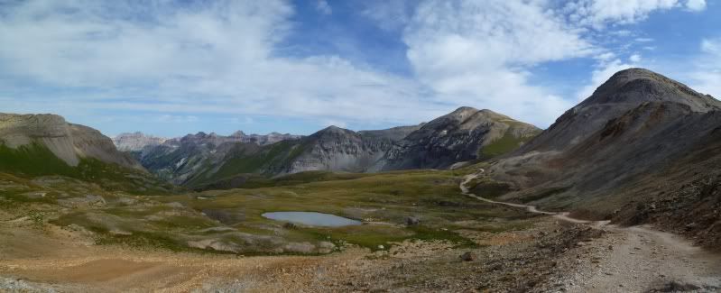
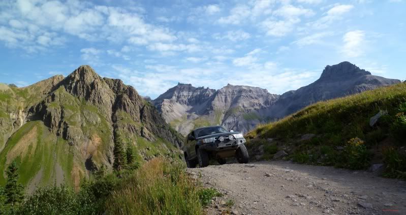
The trail leading back towards Ouray. A small group from the Rising Sun Landcruiser group where starting on their decent down.
P1020830Stitch.jpg


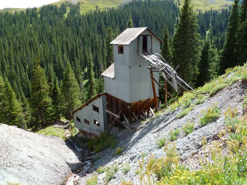
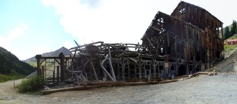
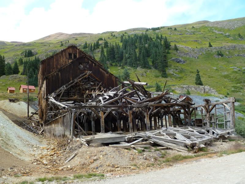
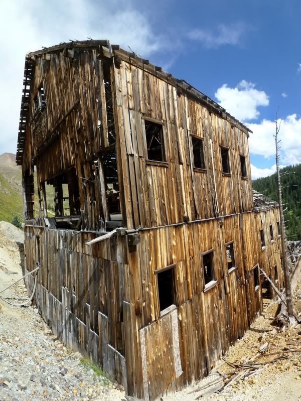
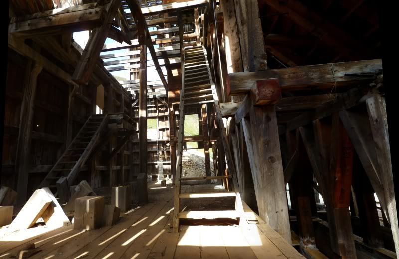
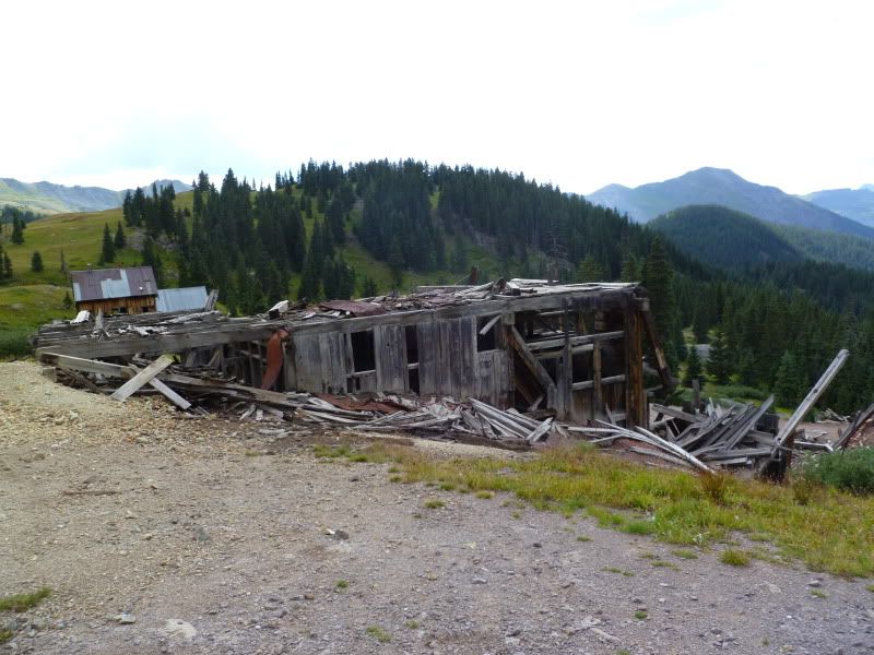
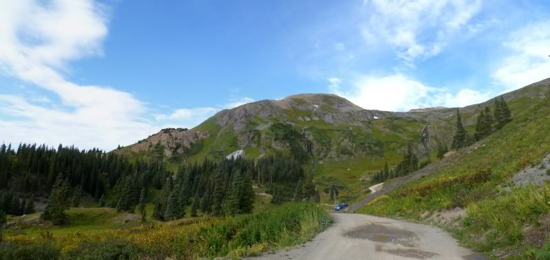
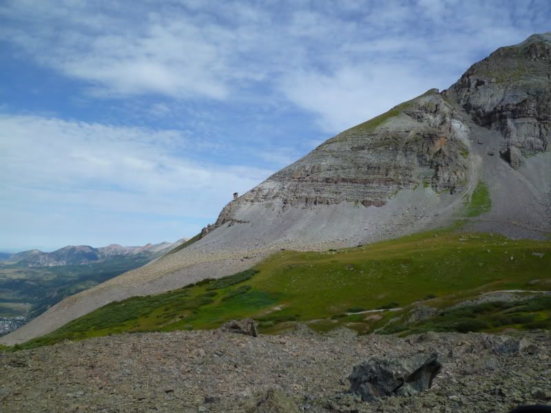
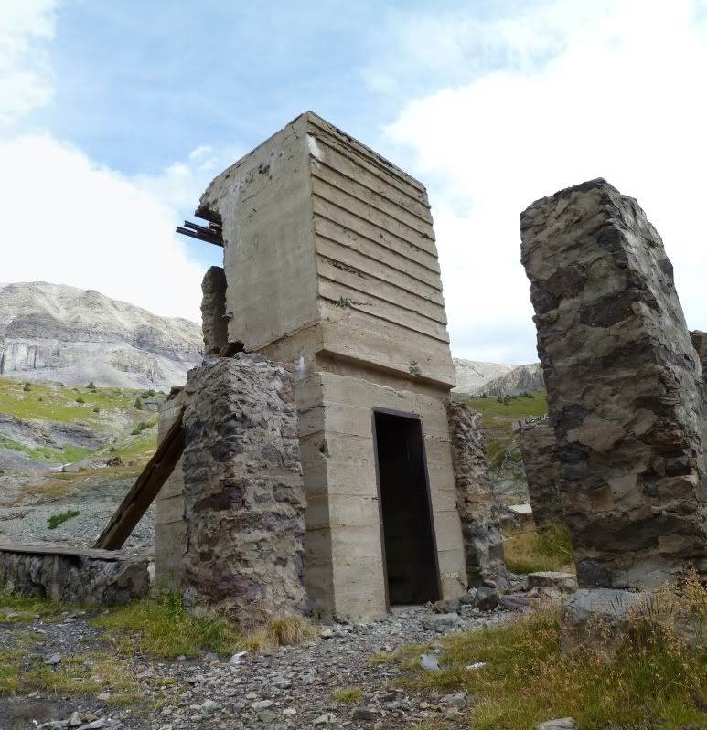
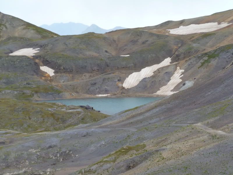
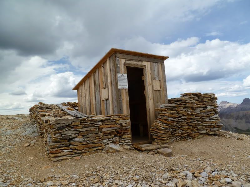
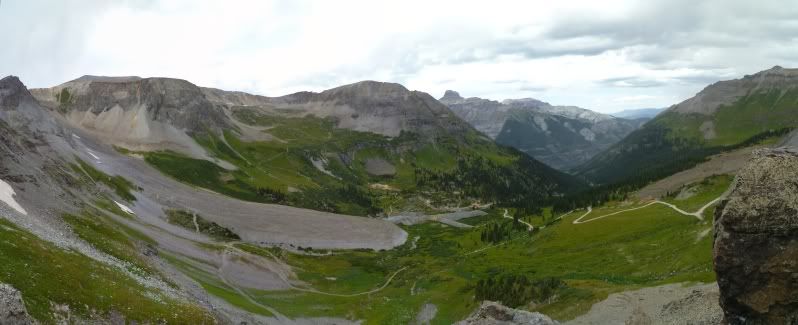
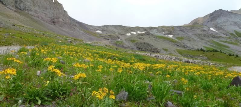
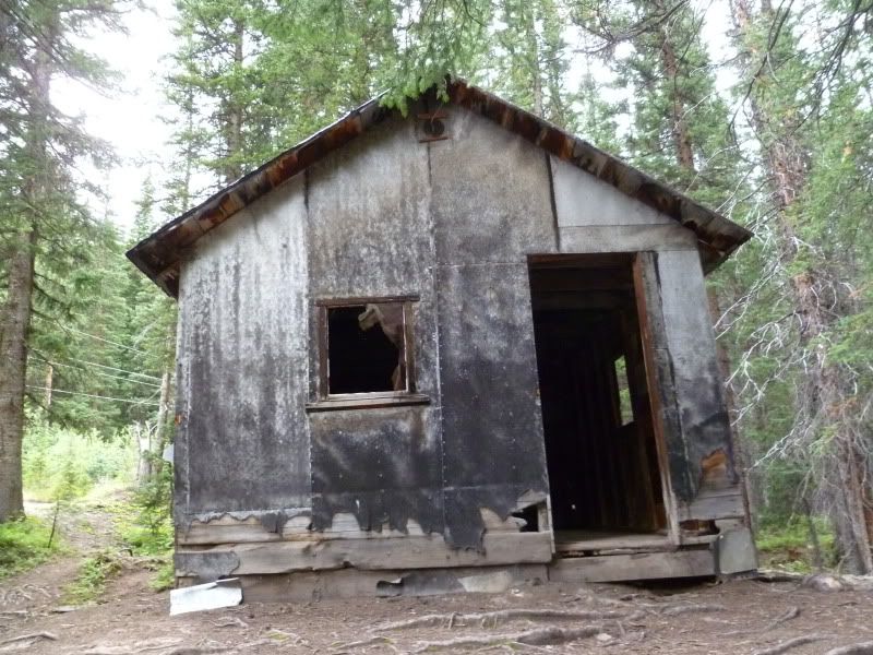
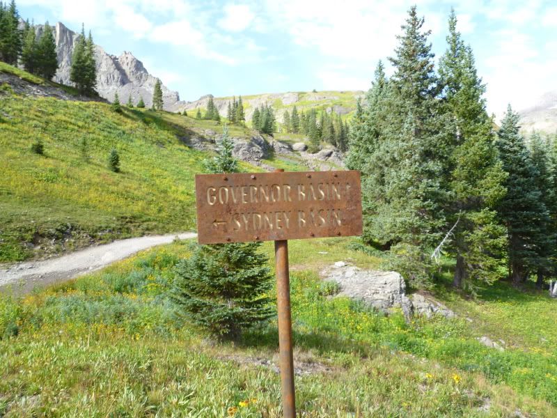
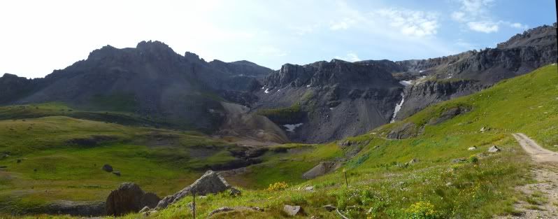
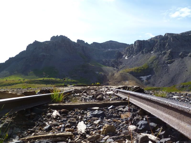
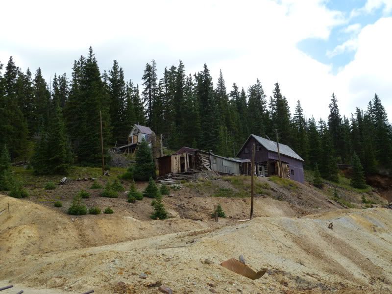
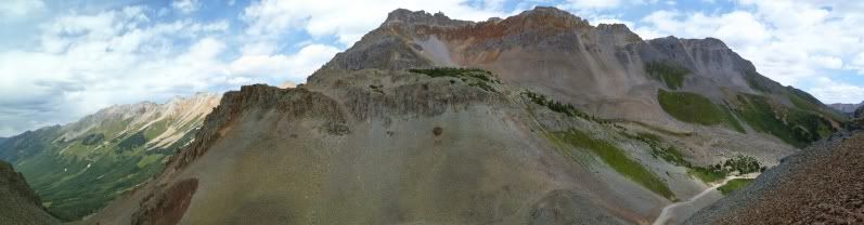
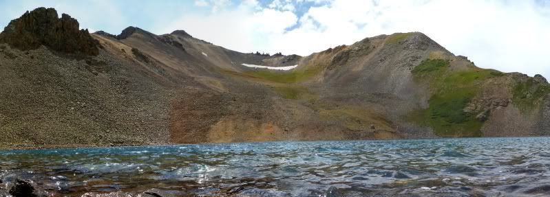
Just past the pass sign and before the decent there's another little parking area with some great views and two trails one which leads back to an apline lake and cabin and the other one heads up to a old structure.
P1020840Stitch1.jpg


P1020846.jpg


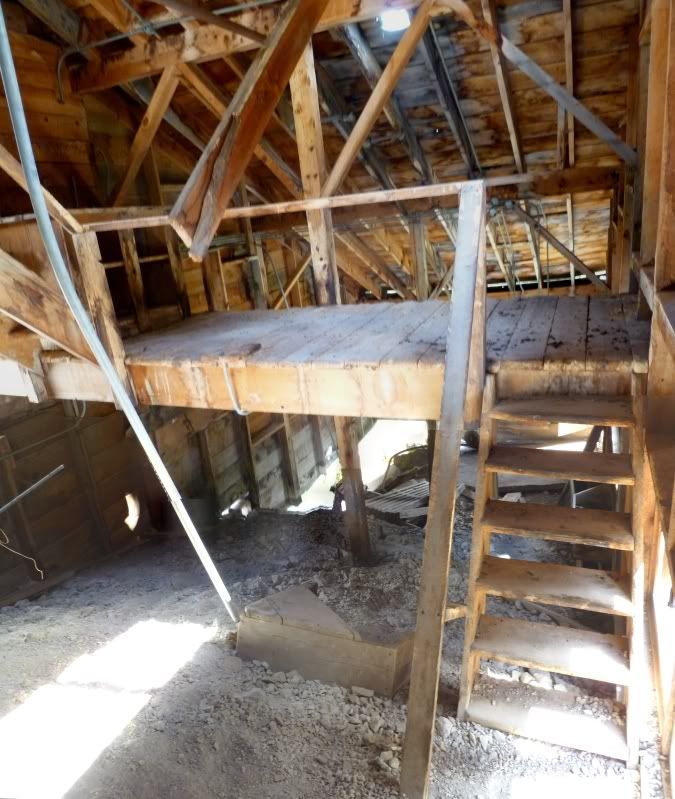
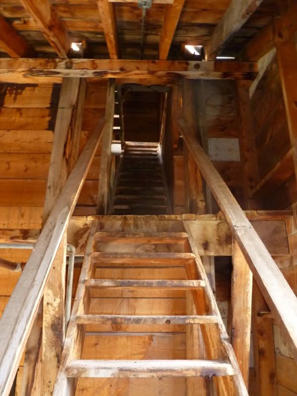
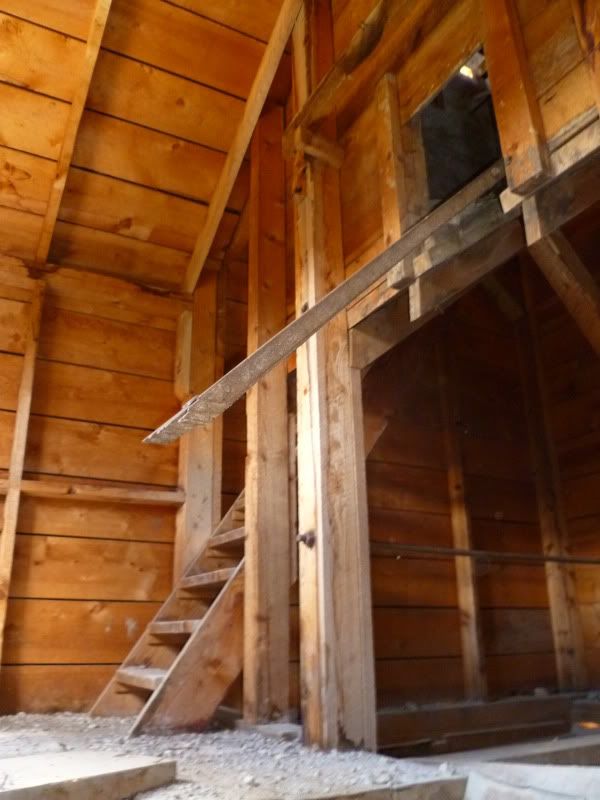
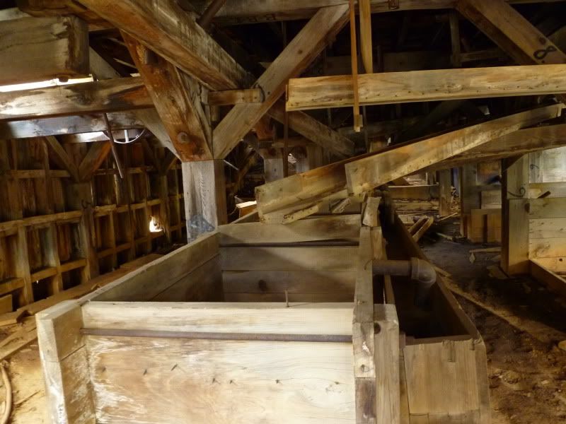
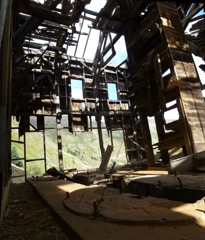
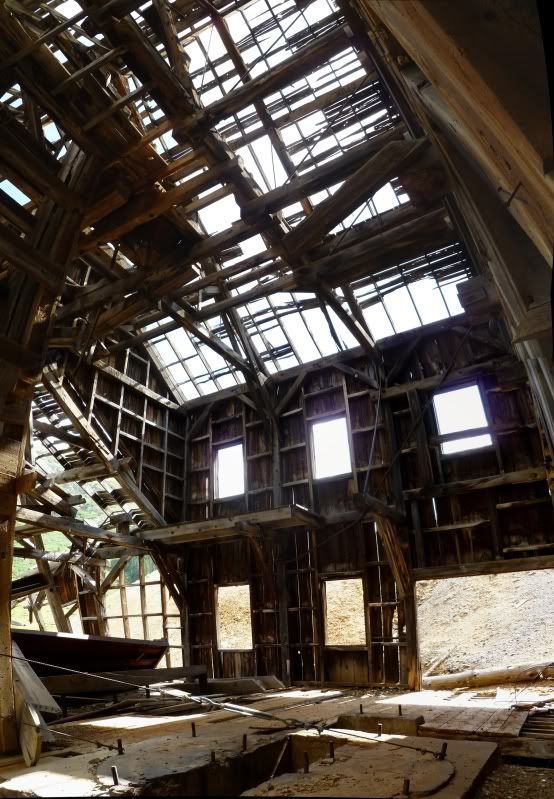
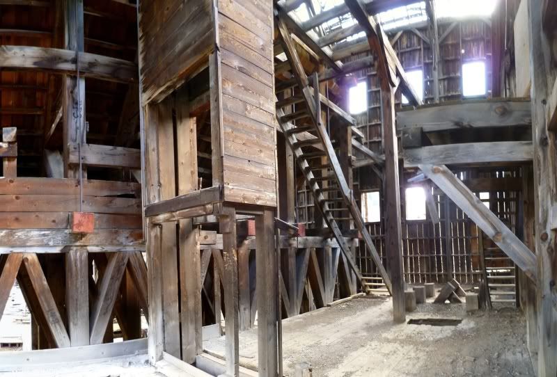
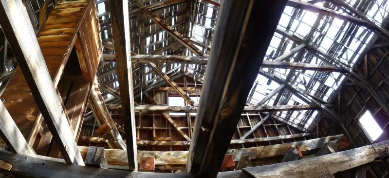
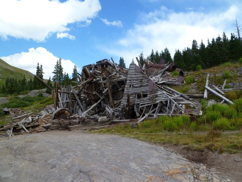
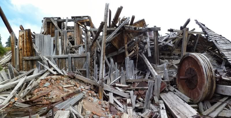
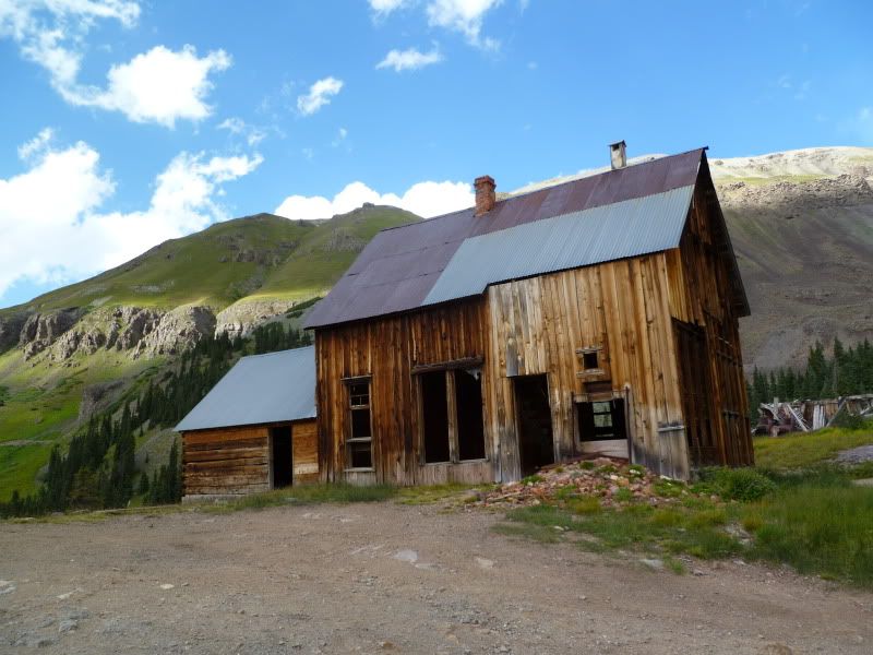
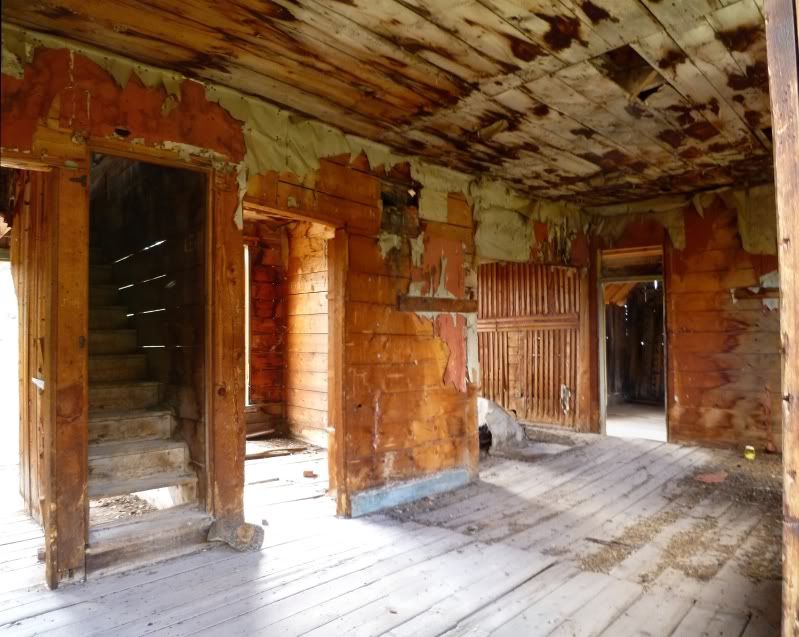
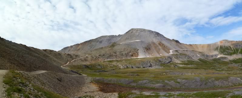
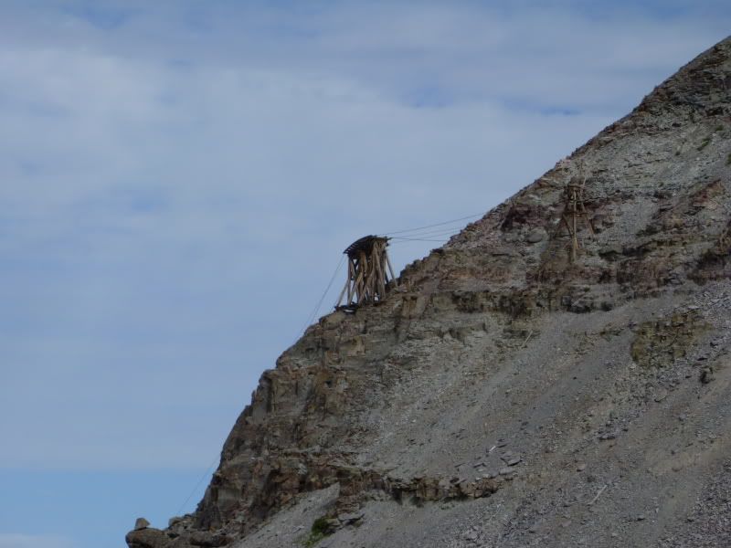
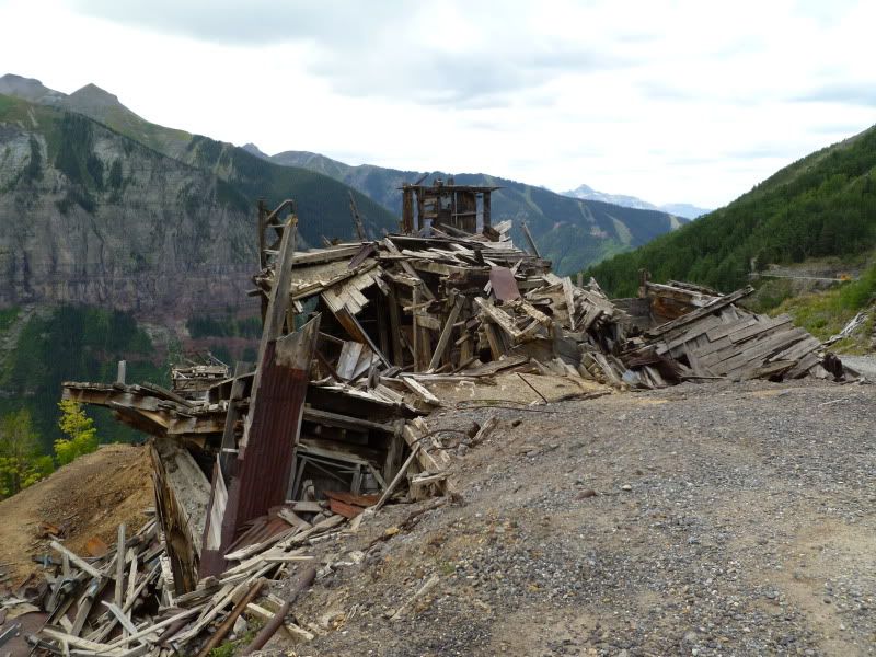
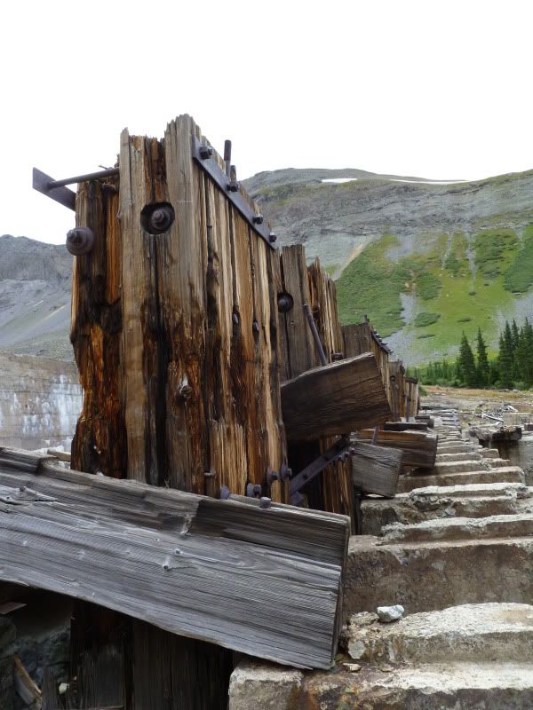
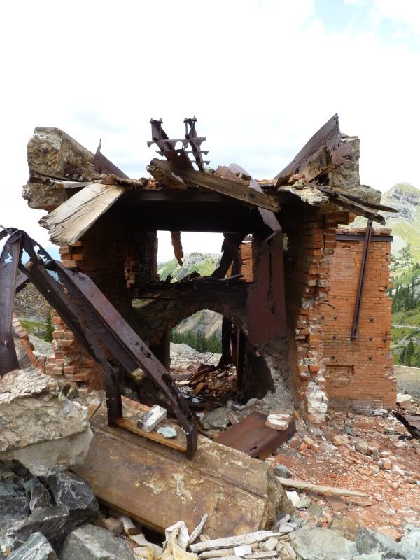
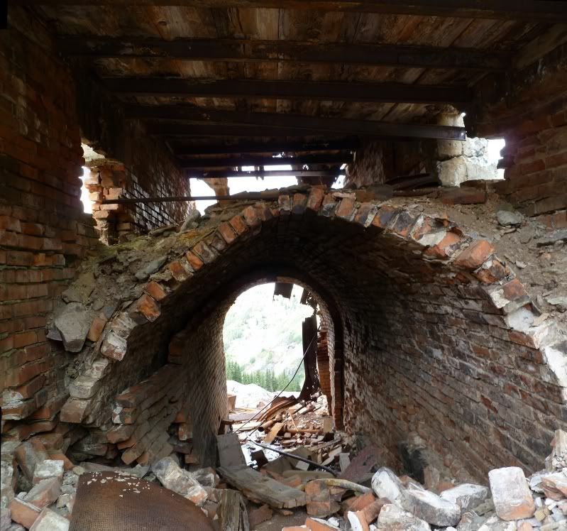
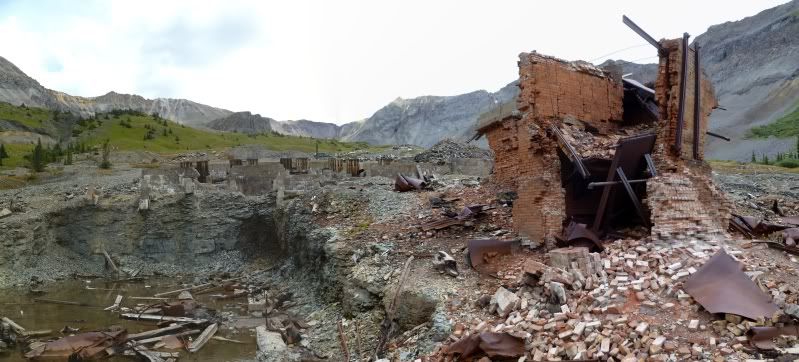
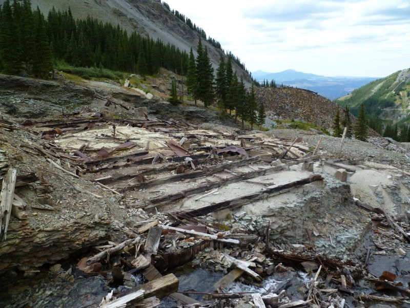
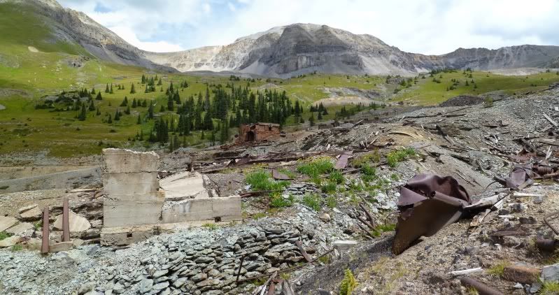
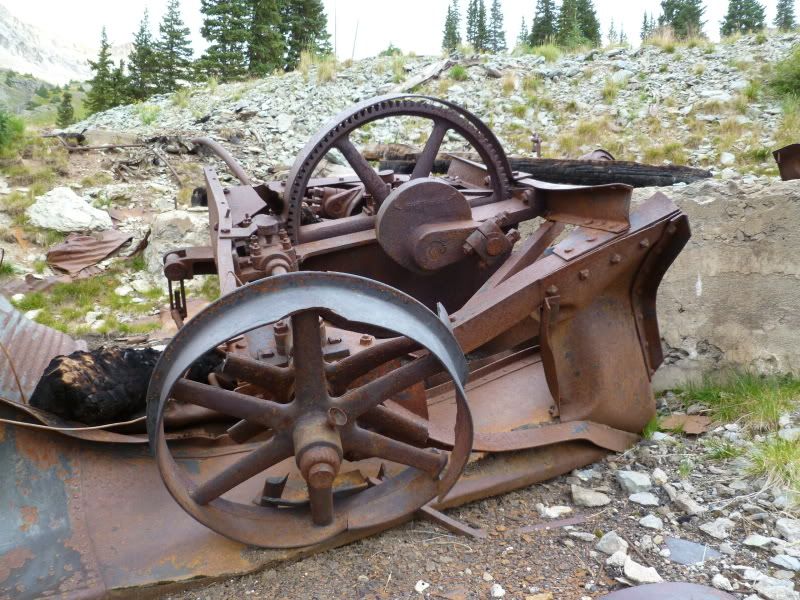
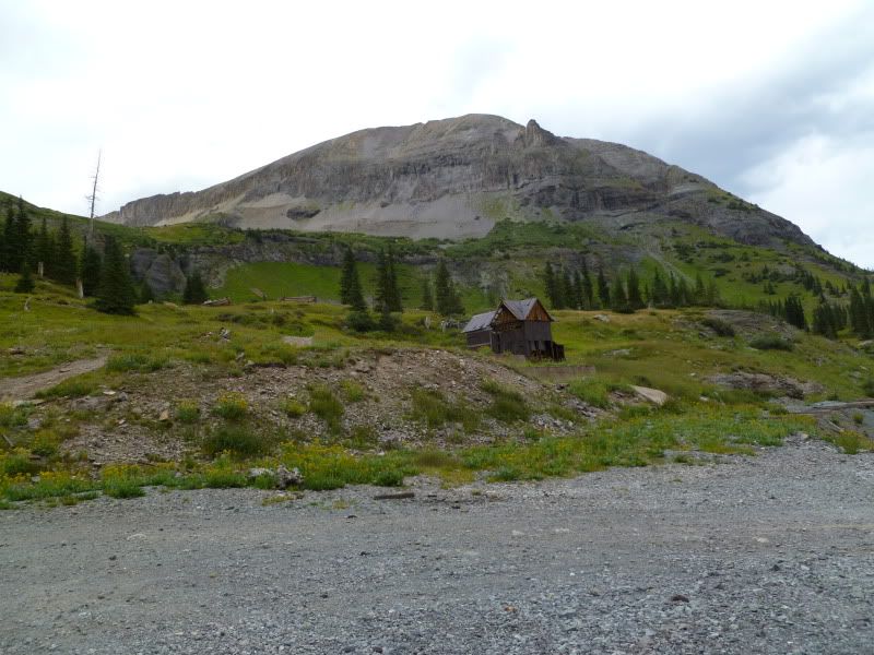
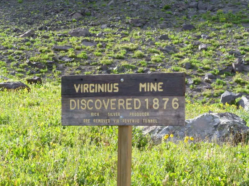
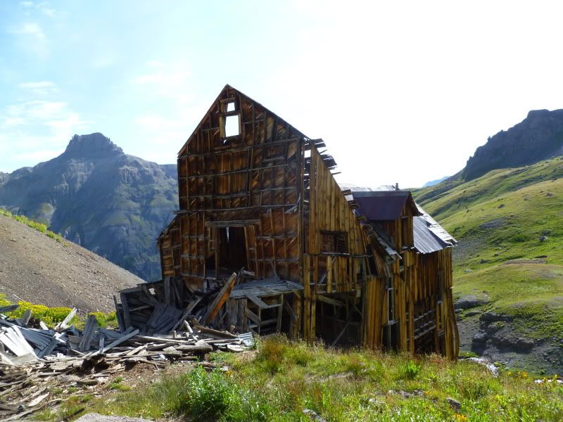
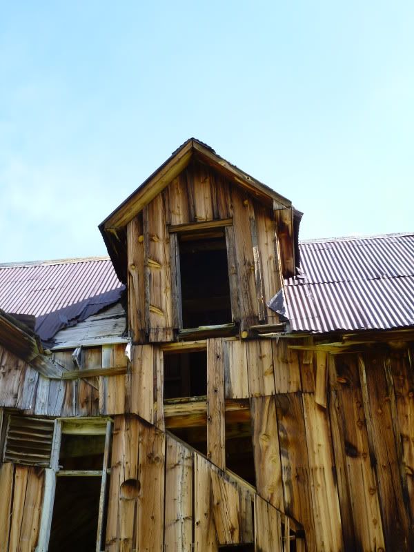
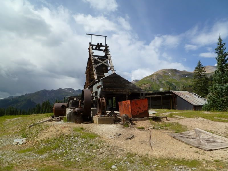
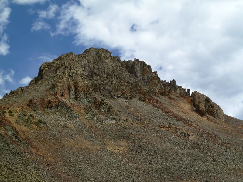
The old structure. Well, okay maybe not so old from what I could tell they rebuilt the building once the old one gave way.
P1020852.jpg


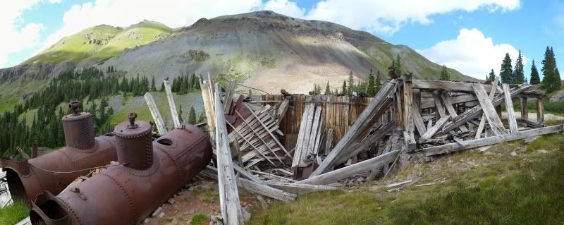
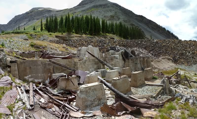
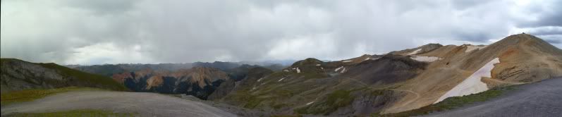
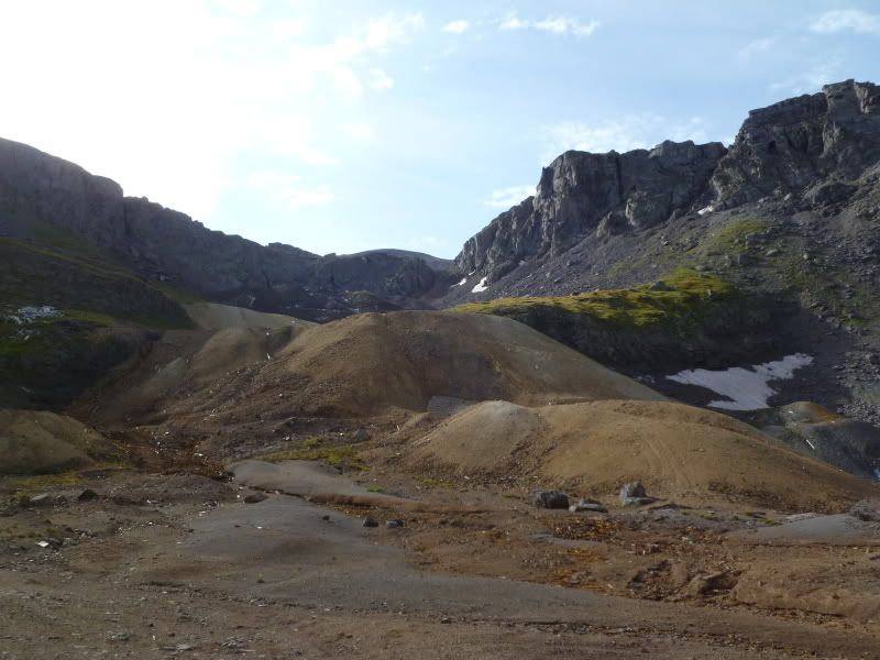
The base of the old I assume. If you stand on top of the rubble pile your at 13377 feet, at least that's what my GPS said. I could only image the hiking trails that are in the 14's in this area. To think of ascending another 700+ feet beyond this is nuts.
P1020854.jpg


P1020863.jpg


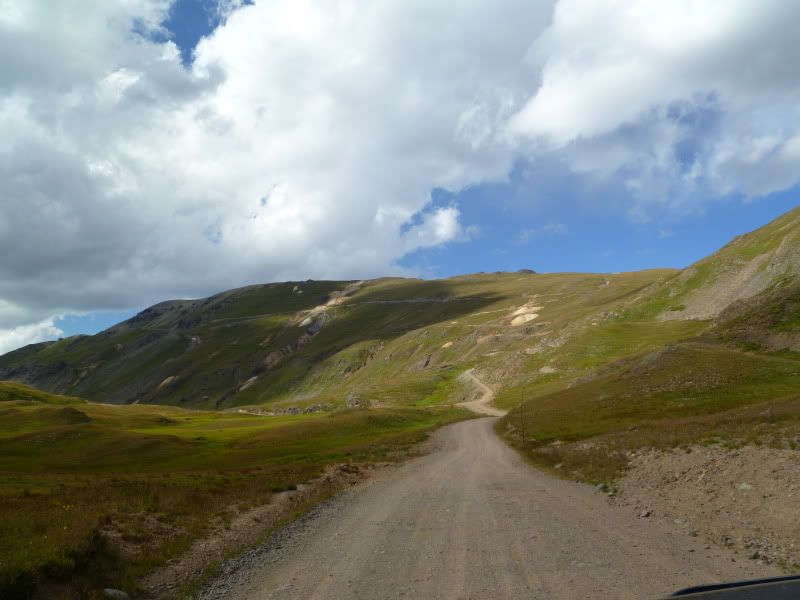
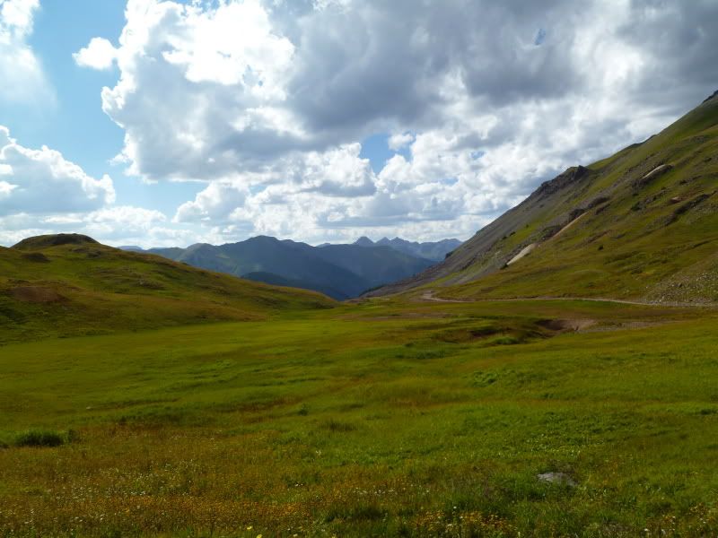
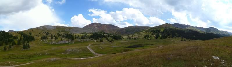
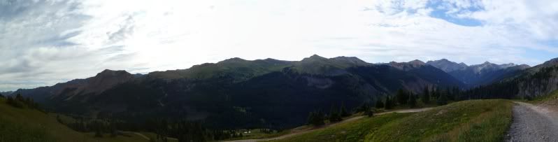
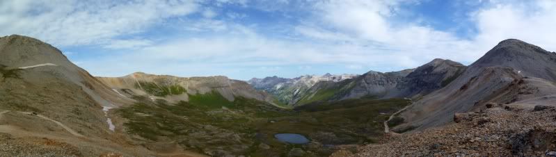
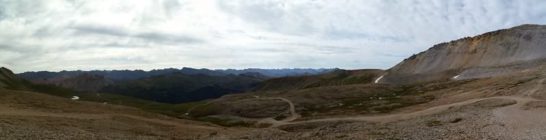
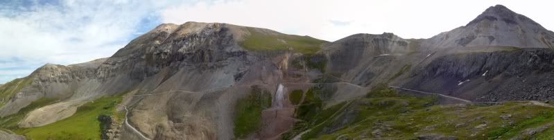
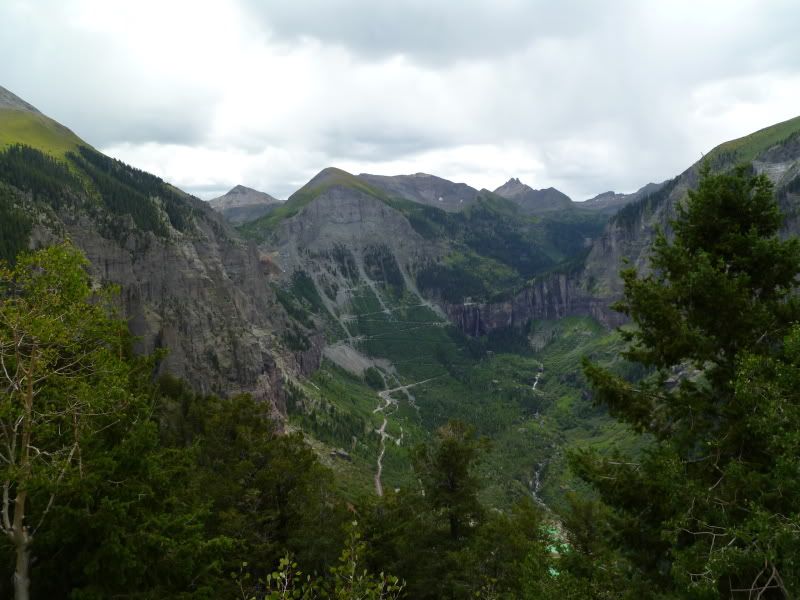
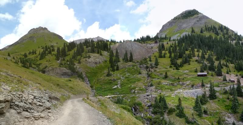
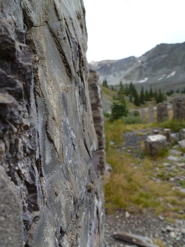
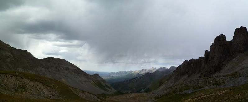
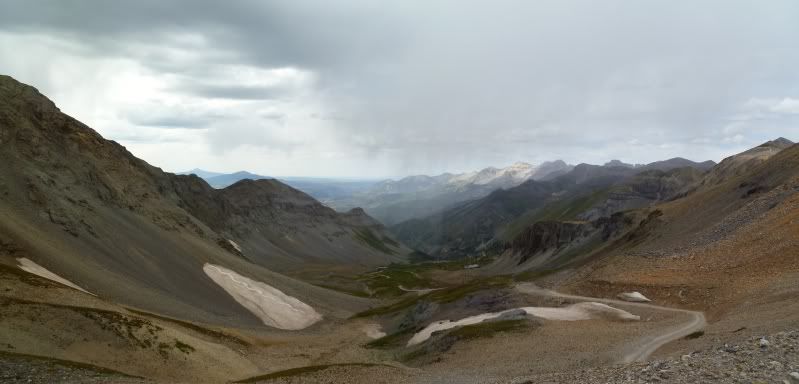
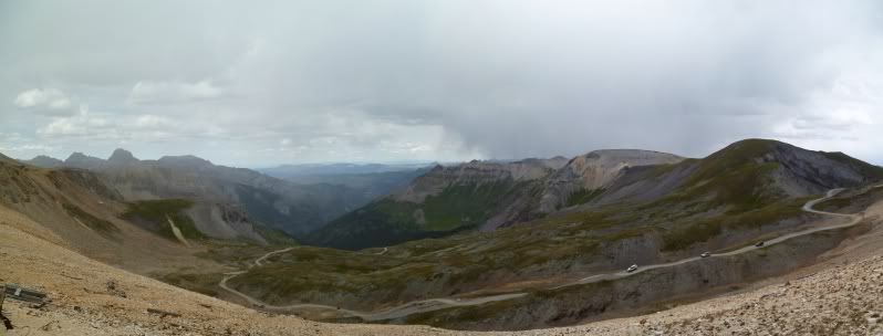
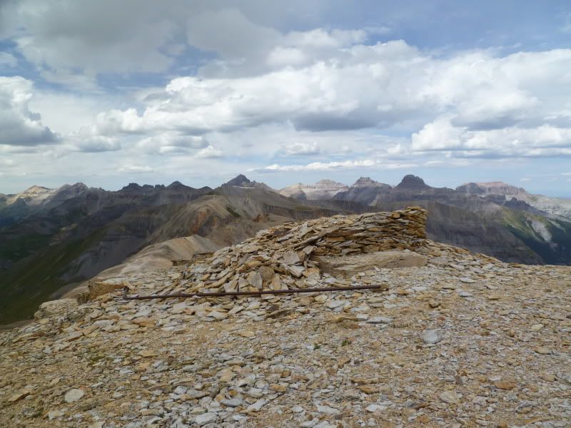
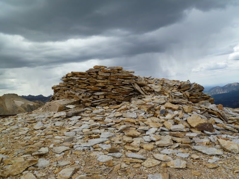
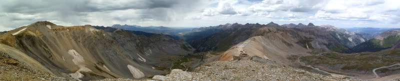
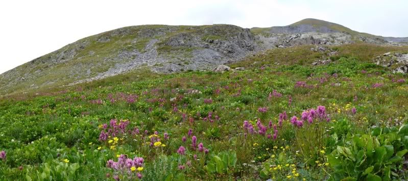
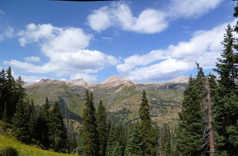
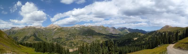
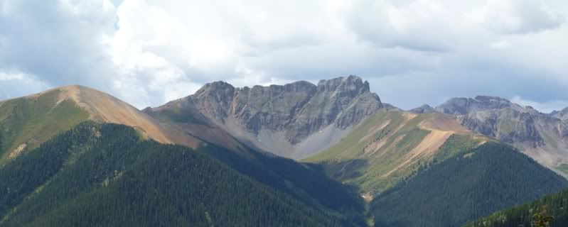
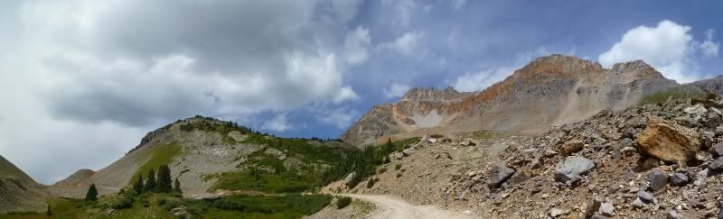
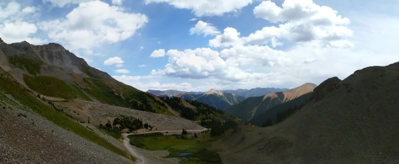
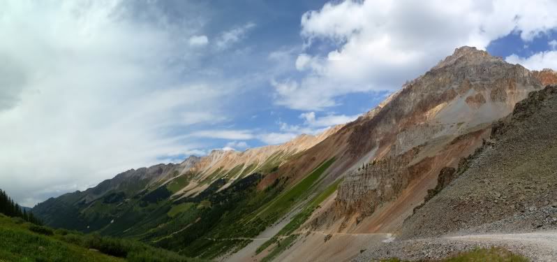
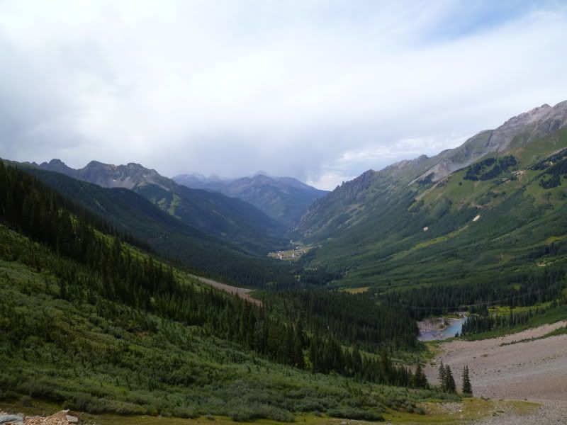
Being up this high you have some great views. Looking over both sides of Imogene Pass.
P1020857Stitch.jpg


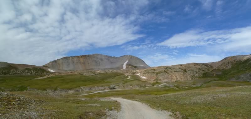
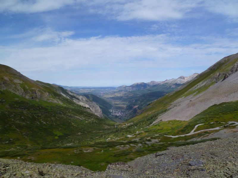
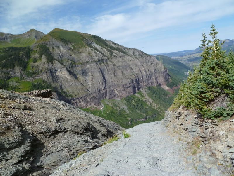
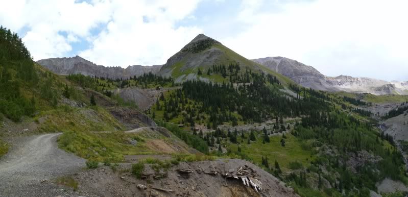
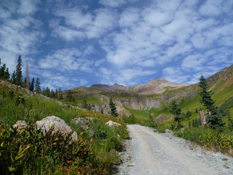
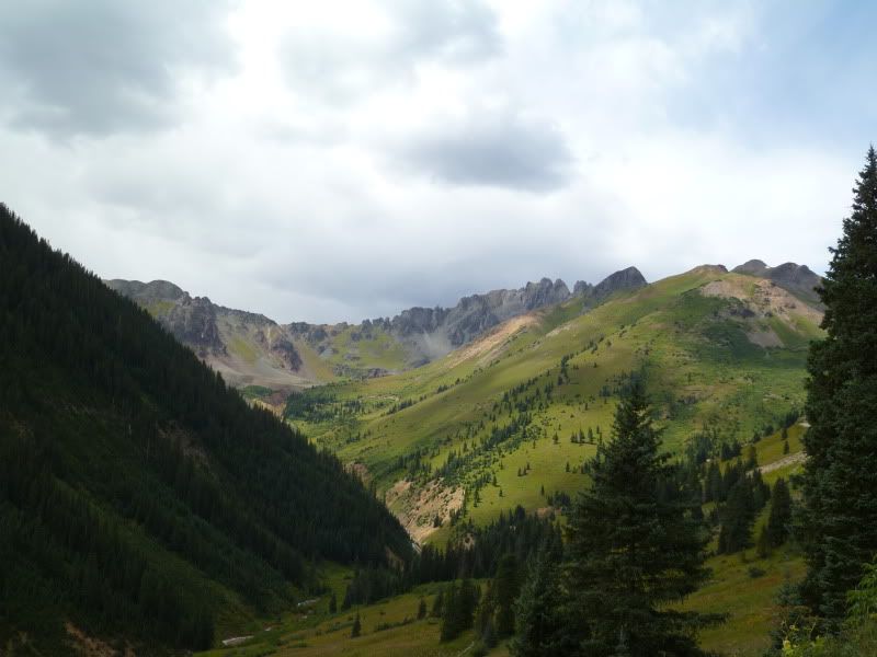
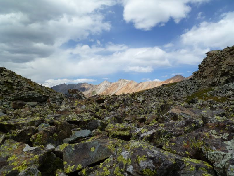
Heading back down the trail.
P1020870.jpg


P1020873.jpg


P1020874Stitch.jpg


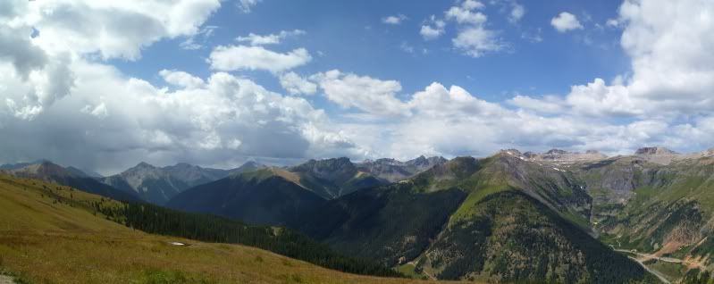
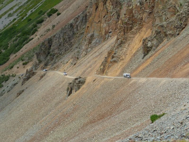
Had to pull over at one point to allow a tour group to pass. So while I waited for them to come up the trail I just took a quick photo.
P1020883Stitch.jpg


P1020891.jpg


P1020892Stitch.jpg


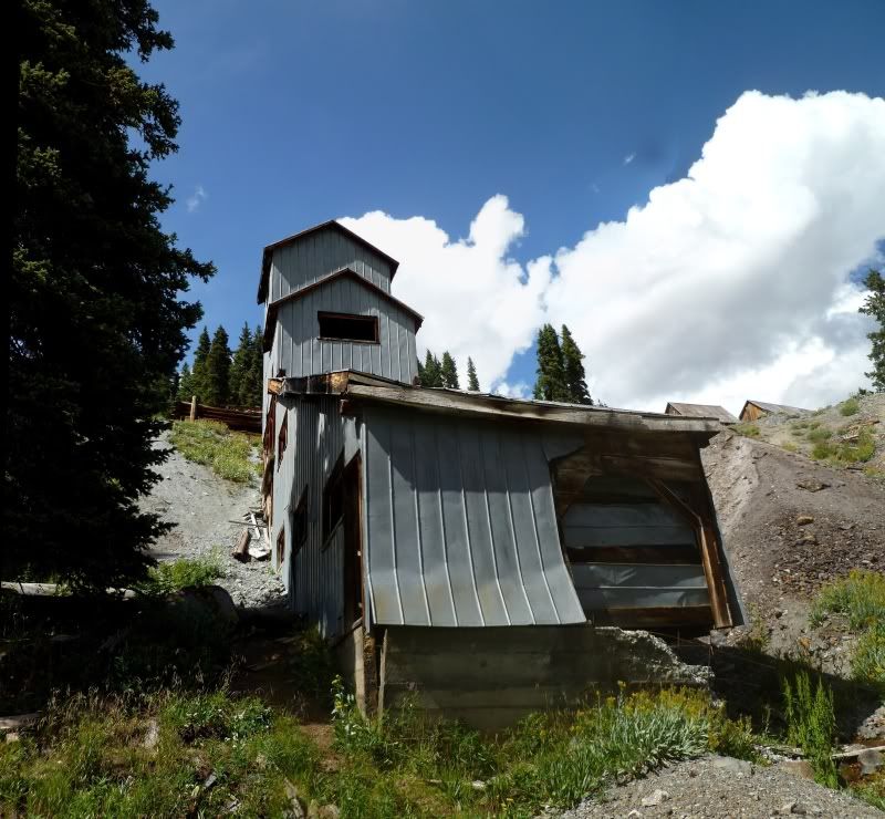
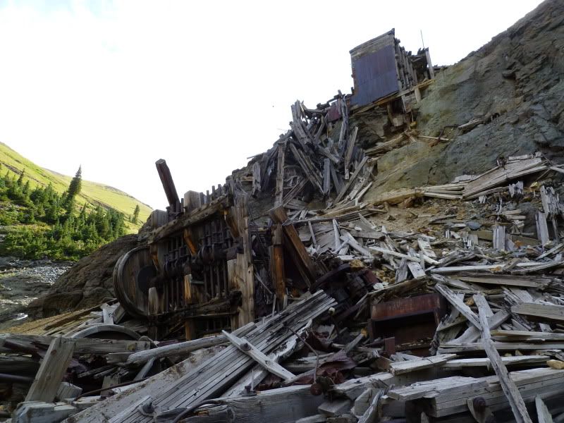
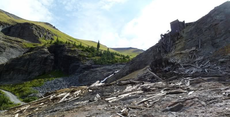
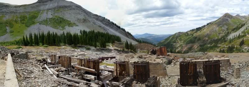
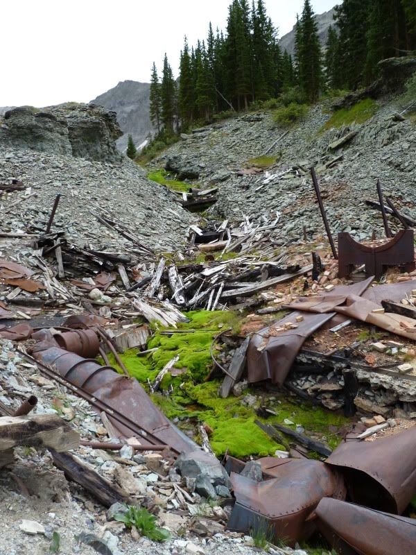
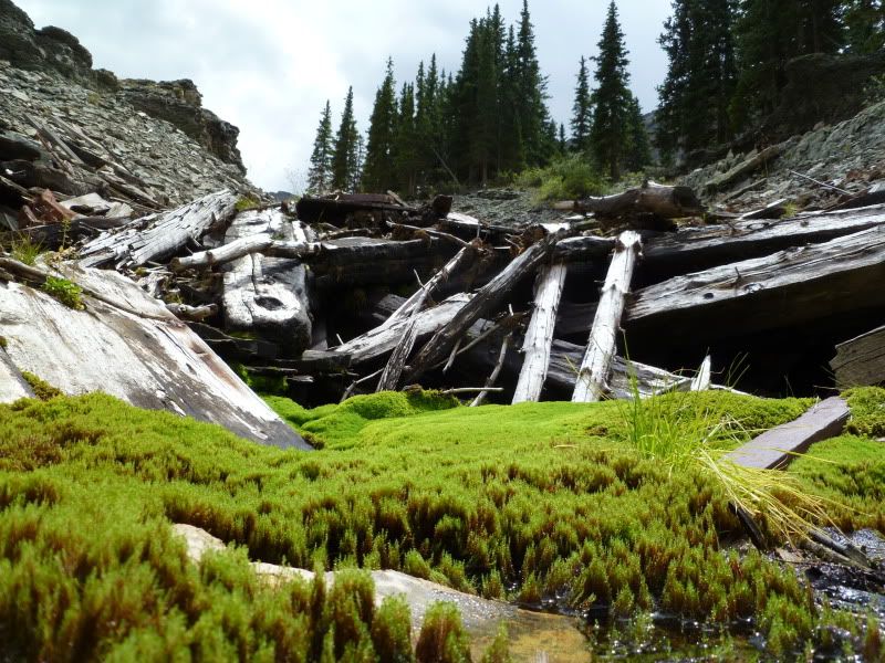
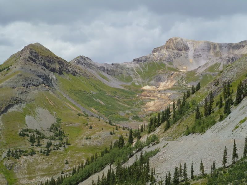
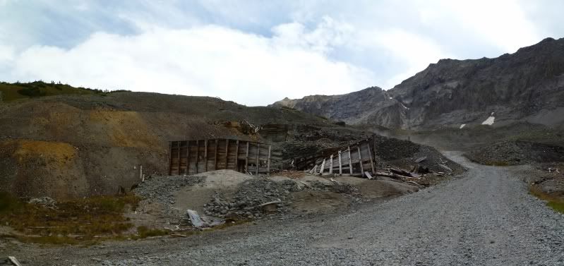
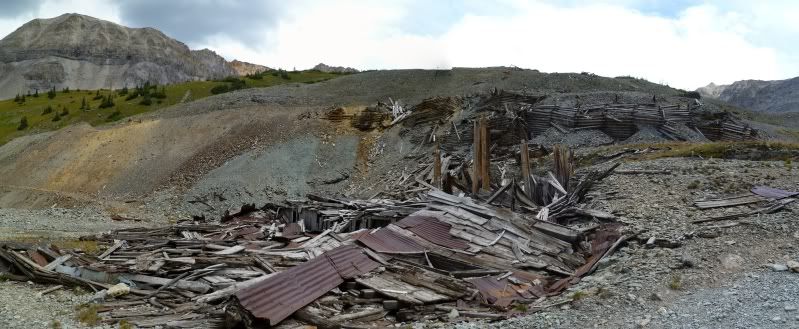
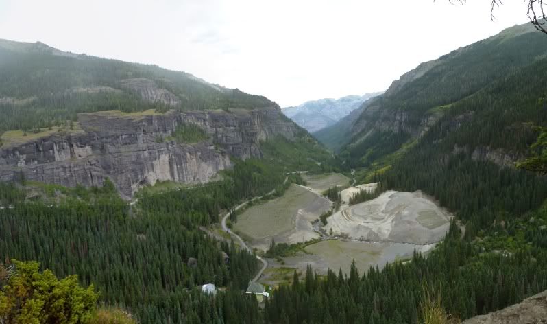
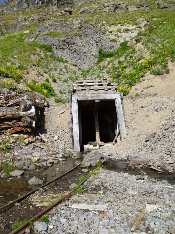
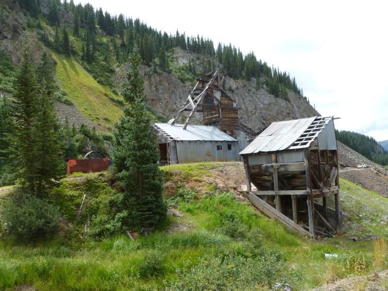
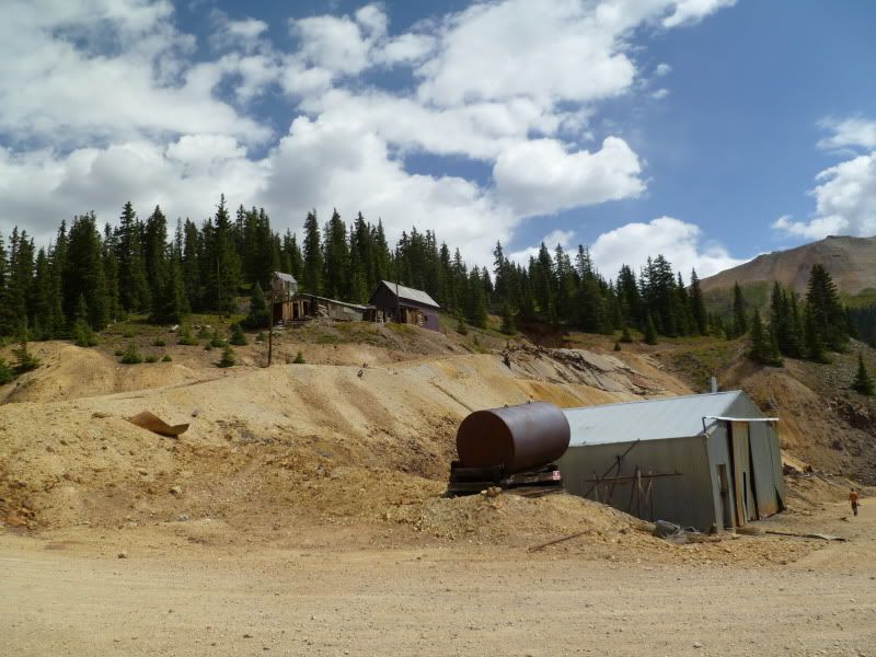
Two photo's above there is another old mining site located in the basin below. I had seen this one before but never made the trip over to see it. Unfortunately, when I got to where it was located there was a group of atv'ers there and for one reason or another I didn't feel good being around them so a quick photo was take from the driver's side window.
P1020897.jpg


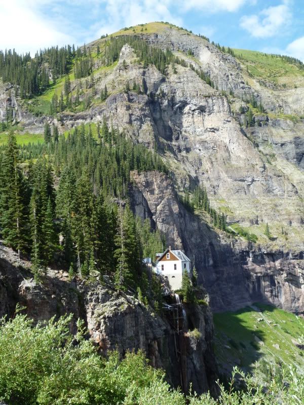
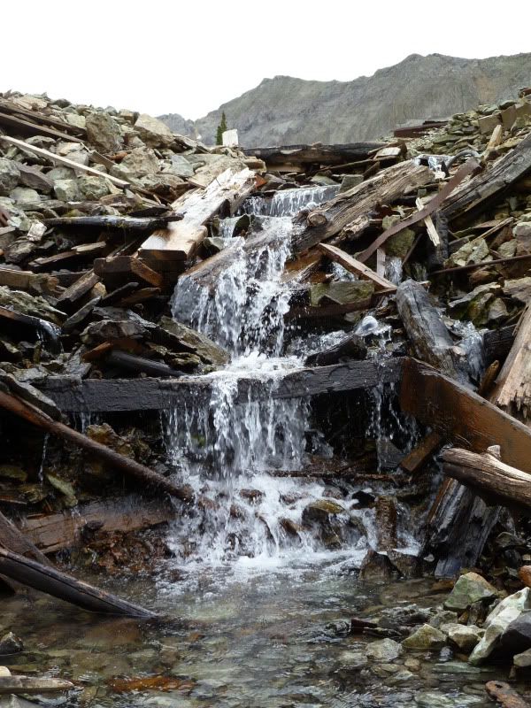
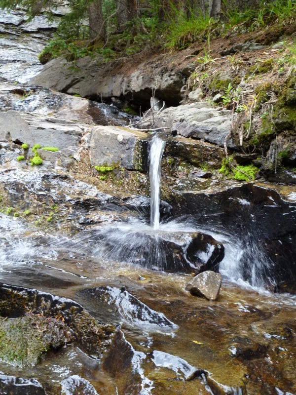
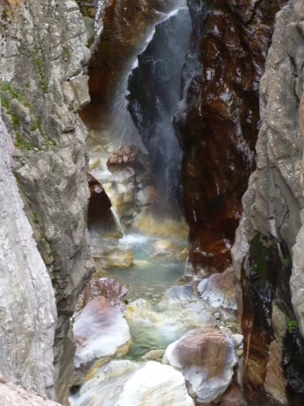
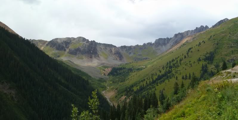
This uncomfortable feeling would happen once more just a little way down the trail where you cross over the creek. Even though the group was just two people I didn't feel good about stopping to grab a photo or two of the one waterfalls. So I continued on.

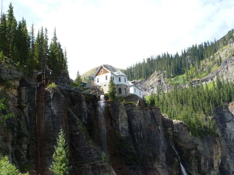
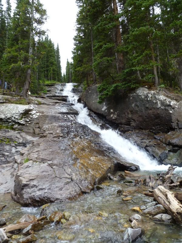
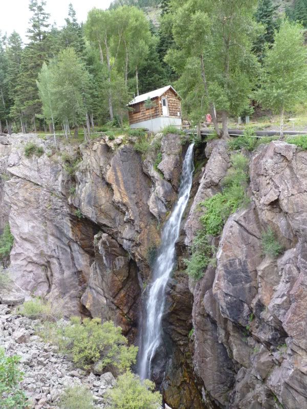
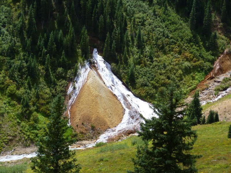
Lucky, there was one last one a little further down which another tour group had stopped at. Feeling a little more comfortable I went ahead and stopped to grab a couple of photo's.
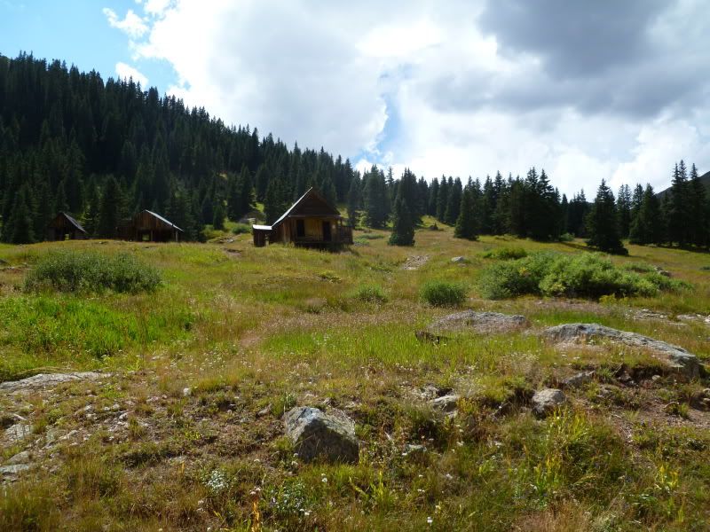
P1020910.jpg


P1020916.jpg


P1020923.jpg


P1020930.jpg


Richmond Basin
P1020934Stitch.jpg


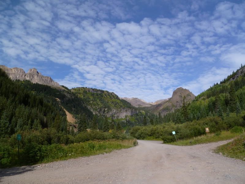
At this point the trail split off in two direction both of which lead back to Ouray just the one takes you a little further up the trail before dumping you back onto Camp Bird road. The 3-4 groups made up of atv's and jeeps must have taken the shorter back down since I didn't see another soul on trail till I got back towards the insection of Imogene Pass and Camp Bird road.

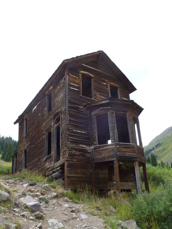
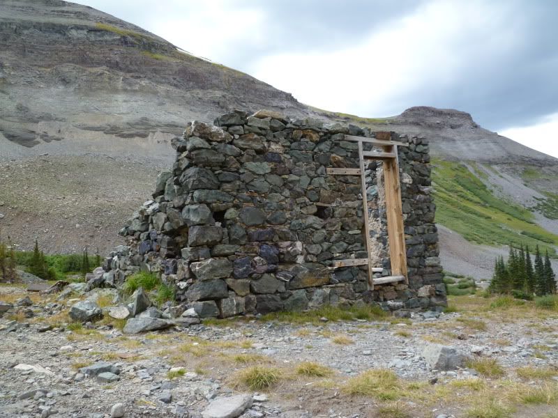
Old cabin along the way.
P1020940.jpg


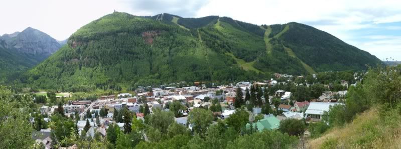
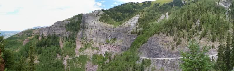
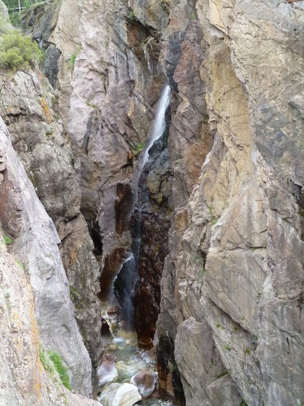
The final stop was at the waterfall just as you start coming up out of Ouray on Camp Bird road.
P1020944.jpg


P1020956.jpg


P1020957.jpg


After grabbing some gas in Ridgeway and a drink it was back to camp for the evening. Again, this was another peacefull evening.
 

ttora4runner

Expedition Leader
Attempted another night shot before hitting the hay around 930 (out of character for me to go to bed this early but I was exhausted). This is about a 1 minute exposure time, the longest my camera has.
P1020964.jpg


Sunday.............still to come.
 

ttora4runner

Expedition Leader
The plan for Sunday would take me back up Camp Bird road to Governor Basin then back to Brown's Gulch up and over Ophir Pass to Alta and Gold King Basin before heading back to Ophir via San Juan Country road 58P. Heading out towards Governor Basin I ran into Jake Quinones(New Meixco Backraods)and his girlfriend at one of the local gas stations. After a brief little chat I was off.

Heading back up Camp Bird road.
P1020966.jpg


Heading up towards the Governor Basin area
P1020972.jpg


Intersection of Governor and Sydney Basin.
P1020976.jpg


Governor Basin
P1020981Stitch.jpg


P1020987Stitch.jpg


Virginius Mine
P1020990.jpg


P1020991.jpg


P1020993Stitch.jpg


Up at the old mining site.
P1020997.jpg


P1030002.jpg


P1030004.jpg


P1030006.jpg


P1030008.jpg
 

ttora4runner

Expedition Leader
After spending some time here (not another soul in site) and debating whether or not to hit up one of the side tracks in the area or to run over to Sydney Basin. I decided to head on to my next stop along Browns Gulch Trail.

Starting on out along Brown's Gulch Trail.
P1030014.jpg


P1030017.jpg


P1030020.jpg


P1030024Stitch.jpg


P1030029Stitch.jpg


P1030035Stitch.jpg


Came up to this mining site which unfortunately I don't remember the name of. This also provide a good stopping for lunch since it was about noon when I came upon this site.
P1030041.jpg


P1030052.jpg


P1030049Stitch.jpg


After getting my full of lunch and the area it was off to Ophir Pass.
P1030060.jpg


P1030064Stitch.jpg


This water flow caught my eye and I spent some time trying to see if it was flowing at all and what was causing it to be this white color. The only way I was able to see that it was flowing was some bubbling action towards the top.
P1030067.jpg


Nearing the top of the pass.
P1030077Stitch.jpg
 

ttora4runner

Expedition Leader
Up at the pass. The sign was missing here and I can only assume that some one snagged the sign since it's base was still there.
P1030084Stitch.jpg


P1030087Stitch.jpg


The alpine lake up at the lake that is fed by the runoff from the basin.
P1030094Stitch.jpg


P1030108Stitch.jpg


P1030110.jpg


Looking down the trail that leads to Ophir
P1030113Stitch.jpg


Waiting for this group to come up before heading down. The trail was just barely winder than that Dodge Ram coming up the trail. Another group from the Rising Sun Landcruiser is following behind.
P1030122.jpg


P1030126.jpg


The town of Ophir down below.
P1030132.jpg


P1030138.jpg


P1030142.jpg

Gotta love the sign coming into Ophir.
P1030150.jpg


P1030156Stitch.jpg
 

Forum statistics

Threads
189,368
Messages
2,915,927
Members
232,189
Latest member
Jonny Adventures
Top