BajaTaco
Swashbuckler
I take this to mean it is a challenging route for a 4x4? :smiley_drive:
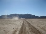
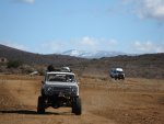
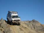
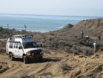
The last 1/2 mile or so of the trail is fairly technical so many vehicles will stop short and folks will hike in to the mission. There are some photos of the trail here. We need to get a report from Al on what the current conditions are like.
") to an old mission sounds like fun.
to an old mission sounds like fun.