Adventure Jeep
Adventurer
Great pictures and awesome post. Thanks
Notice however that he broke a sway bar link somewhere along the way. Could have been the day before on Imogene.
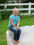
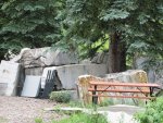
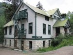
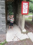
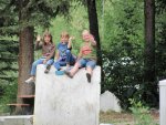
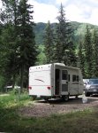
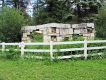
Very nice pictures. Keep them coming.We had a great time at the BCGNP, but it was time to move on. We headed southeast around the canyon toward Gunnison. We then headed north on hwy 52 toward Paonia. We had never been here, but the map showed it as a scenic byway, and my wife wanted to see Paonia. Hwy 52 was beautiful. It wound up over Maher pass with amazing views of the canyon 1800 ft. below and the reservoirs that have been created in it. We stopped at the top of the pass at a rest area and had lunch. We watched as a stormed rolled in over the San Juans. It was amazing to watch. We then headed down the other side to Hotchkiss where we junctioned with hwy 133 to Paonia. We did not get any pics in Paonia, but we stopped at this hippy orchard that my wife had read about and enjoyed empanadas and fresh fruit. We then continued on Northeast over McClure Pass (8,755 ft.) We thought that we might stay in a free campground at the top of the pass, but it was early and we decided to continue on. As we turned southeast to come down McClure, my wife realized that we were looking at te Nothern slope of the Maroon Bells. These mountians were on her "hope to see" list. At the bottom of the pass there was a road heading south along the mountains which we followed just to see what we'd find. We found Marble Colorado pop. 107, with an RV park. I will use the term "RV Park" loosely.
There are two OHV roads leading south out of town. One travels over a pass to Crested Butte, but that road will have to wait until another day and a few more mods.
