Day 2:
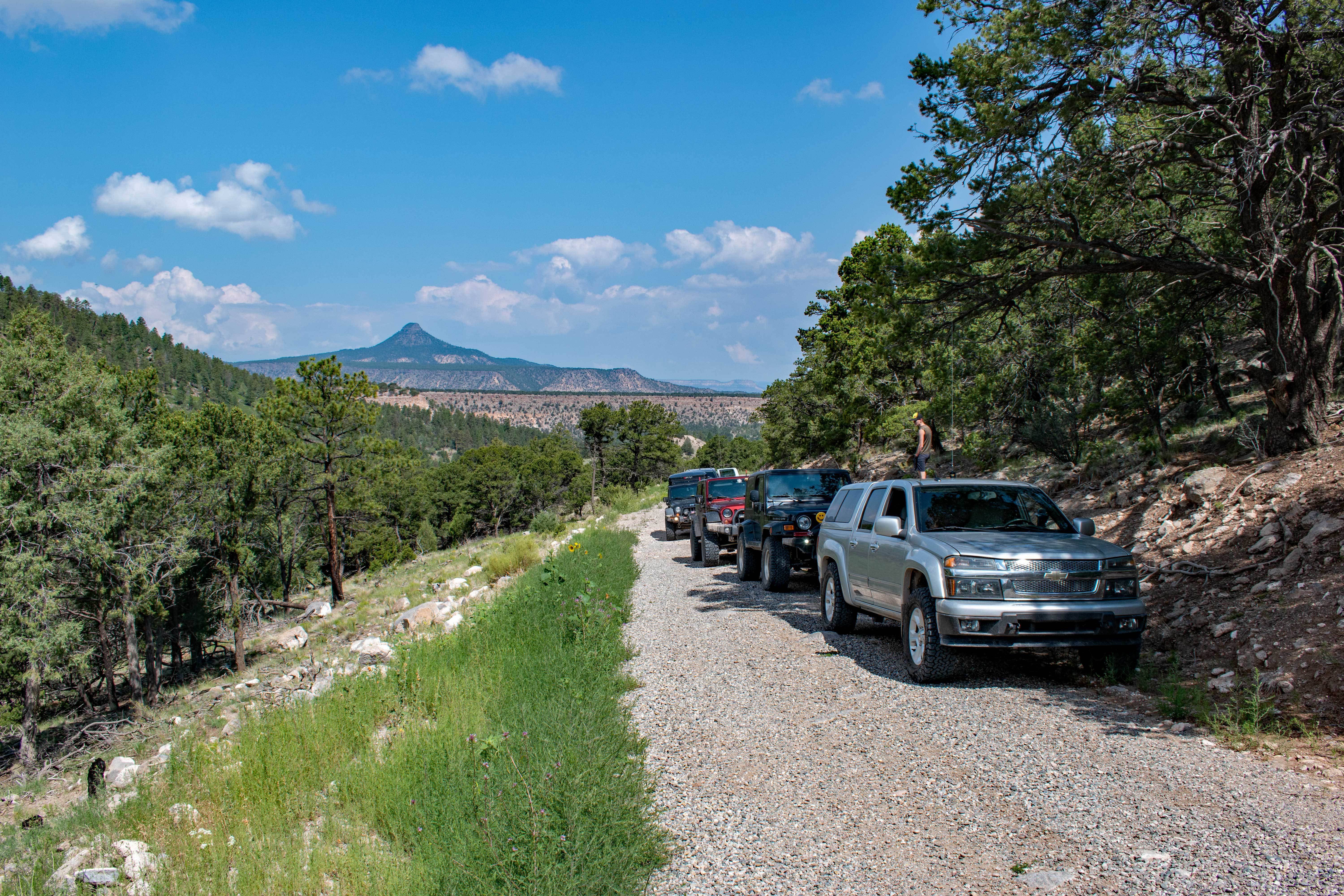
On Saturday, the whole group packed up and we were moving just shortly after
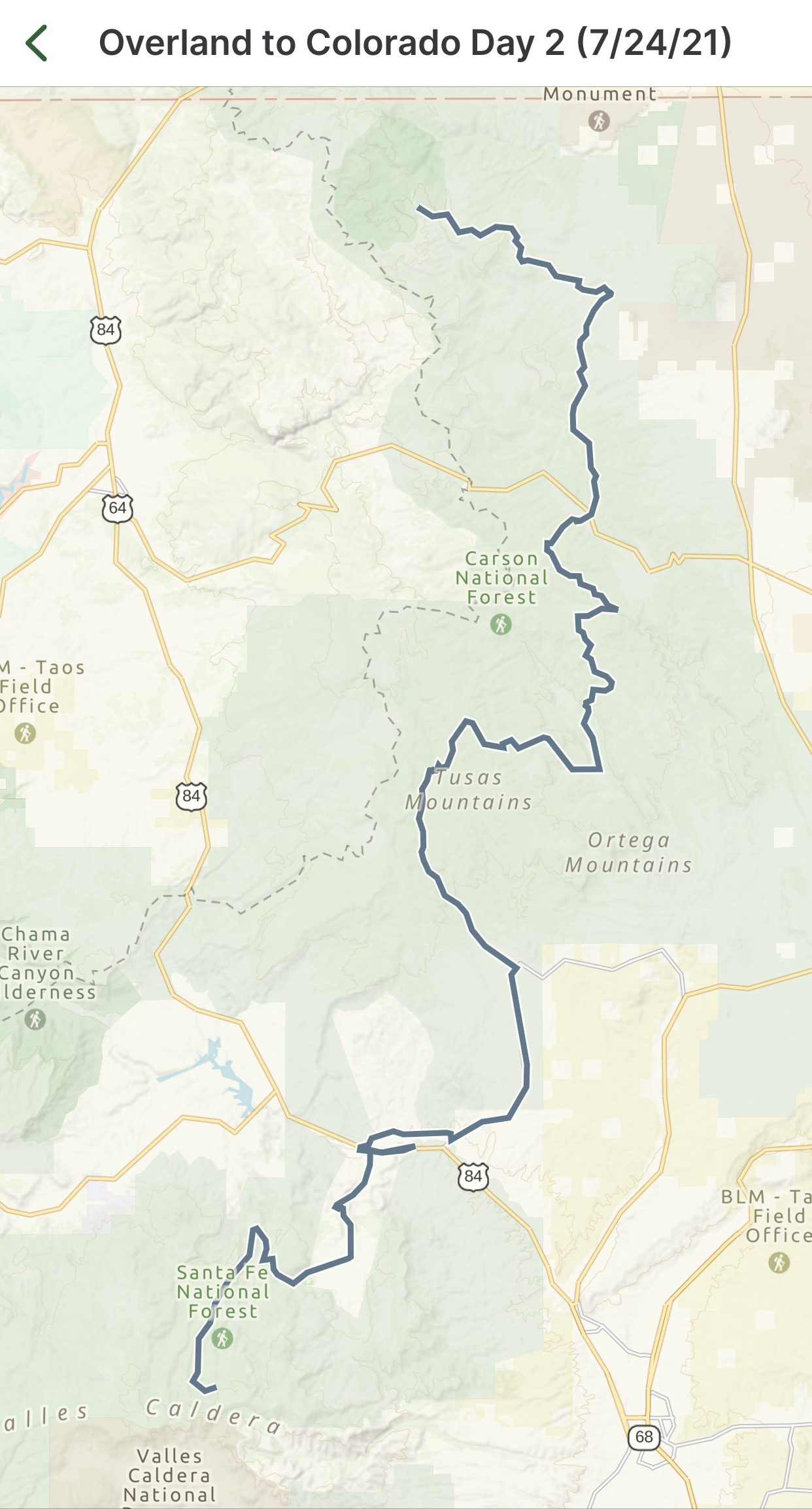
9AM. We were continuing north on FR 27 towards Abiquiu, NM via the Polvadera Mesa.
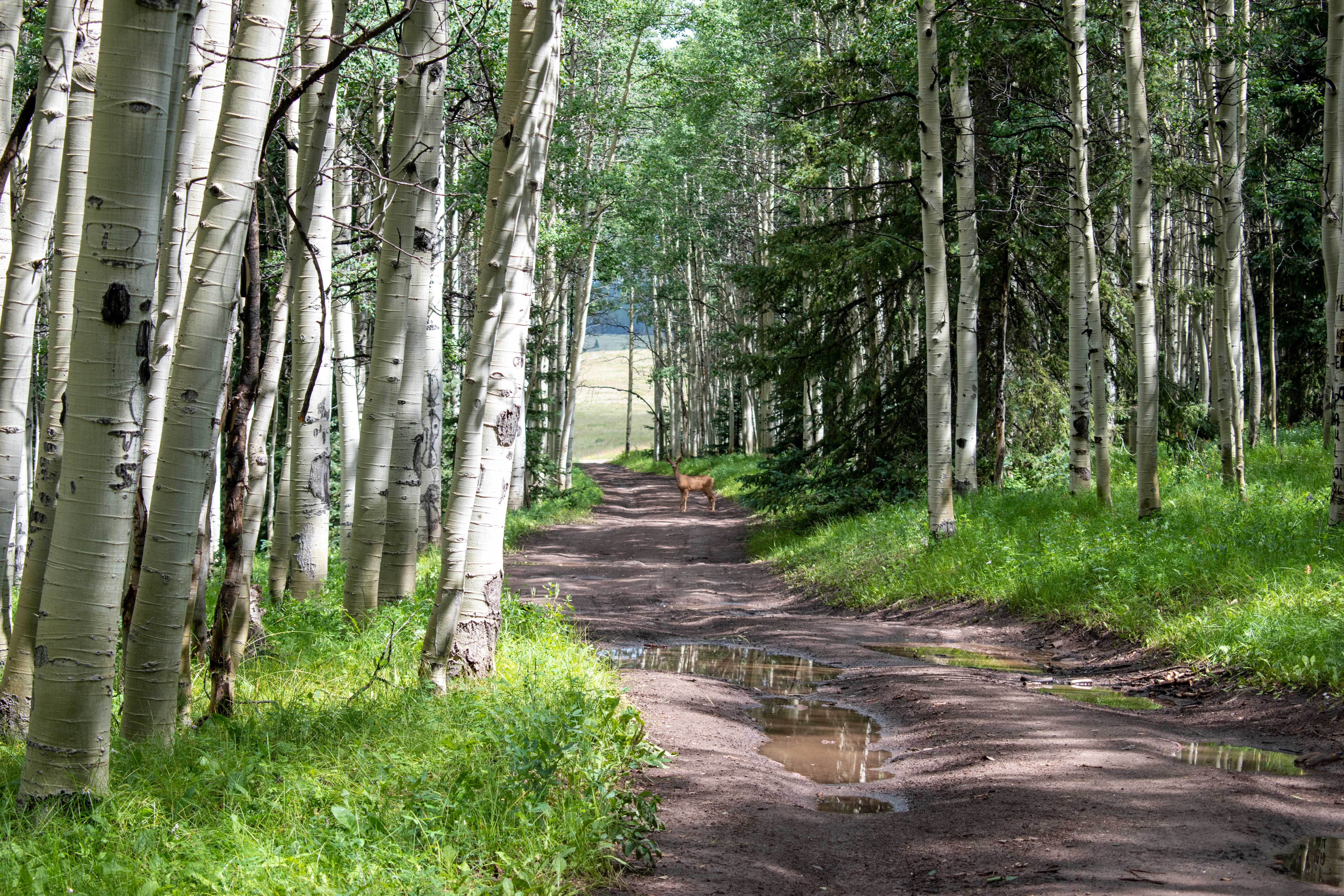
After being in route for almost an hour, we spotted a nice-looking buck, then stopped for a
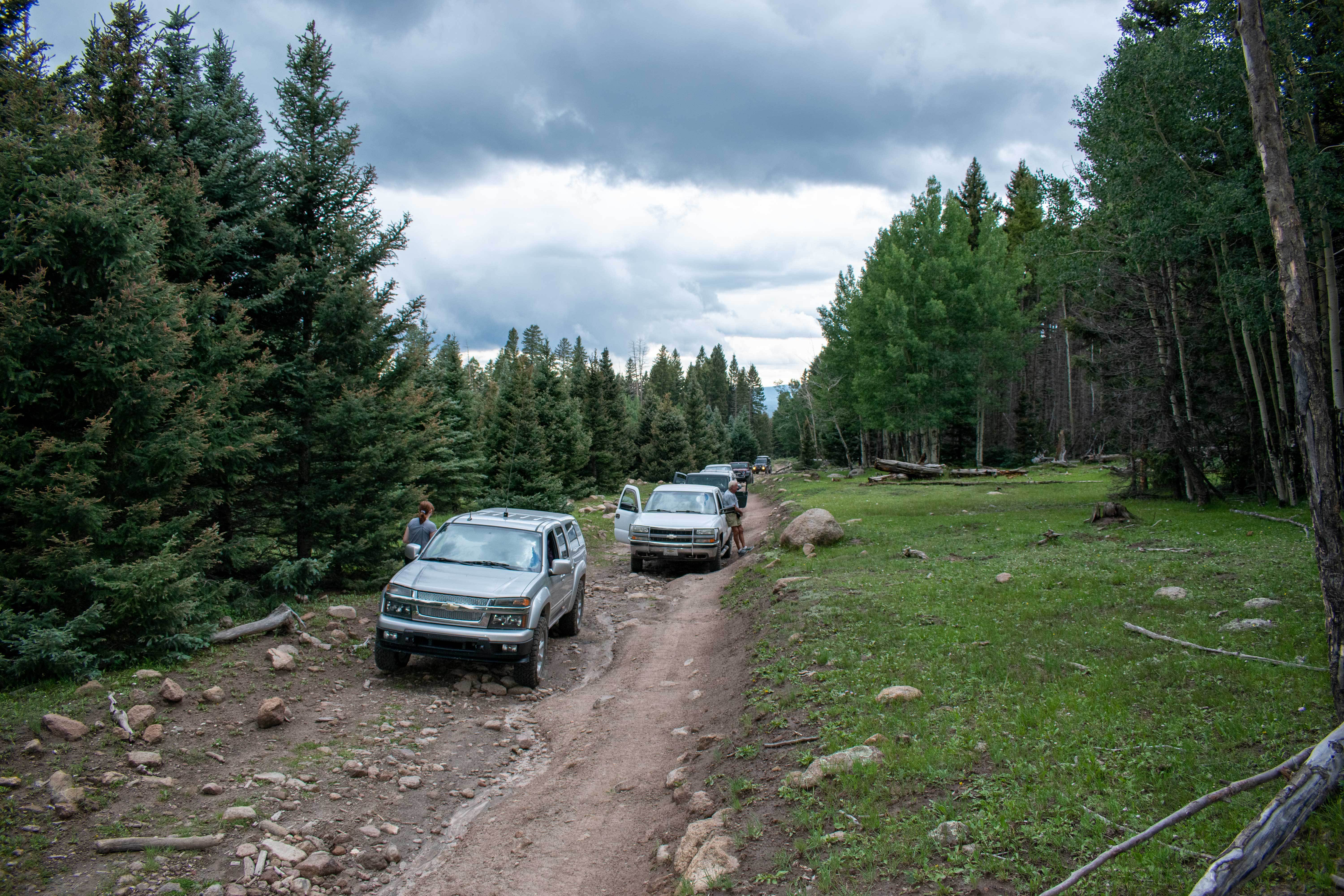
10-100. This road was very rough from recent rains which had caused washing out. This
section took twice as long as I had expected, and we didn’t reach Abiquiu till around 11AM.
Everyone stopped at Bode’s for gas. I was relying on getting more ice for my cooler here,
but they were out! Thankfully, there was a Family Dollar about 2 miles down the road that
was fully stocked. I was beginning to think that I was going to have to go about 13 miles to
find ice, what a relief!
The group went about ¼ mile up US 84 and turned on another dirt road CR 155
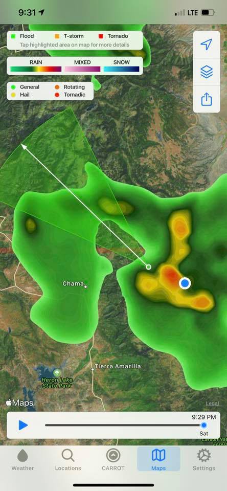
which parallels US 84 on the other side of the Rio Chama River. Rain began to pour about
that time, and we ended up crossing several flooding arroyos along this route. Thankfully,
there was a local in a 4x4 Dodge in front of me who tested the waters for us. I’m glad that
I didn’t have to be the guinea pig for the group. Then we had about 15 miles of pavement
to El Rito, NM. Shortly after returning to the dirt, we found a place to pull over for a quick
lunch. We were now on the northern half of section 7 to the New Mexico Backcountry
Discovery Route (NMBDR). We were now in the Carson National Forest following the El
Rito on FR 559. Where 559 turns towards Canjilon, we turned left on FR 106 towards
Vallecitos, NM. This road quickly climbs the Tusas Mountains, peaking at around 9400 ft.,
then descends eastward to Vallecitos through lush and green canyons. The route then
took us back north on NM 111 for roughly 3 miles of pavement to reach FR 45 where we
climbed on Mesa De La Jarita where we picked up FR 110 continuing north. This area was
being logged and there were many stacks of timbers alongside of the road. In a couple of
years, this forest is going to be very beautiful with the thinning that has been done. FR 110
continues north terminating at FR 42 where we headed east crossing the Cleveland Gulch.
On the east side of the gulch, we made a left on FR 91 and FR 712, returning to our northern
trajectory and eventually crossing US 64. This portion of the trip was pretty smooth, and
we were able to pick up the pace and cover some ground quickly. We picked up FR 421
and FR 133 which climbs the Tusas Ridge to Cisneros Park. From there, we got our first
view of San Antonio Mountain. We continued on FR 133 all the way to FR 87 heading back
west up the Rio San Antonio, then north again all the way to the southeast corner of the
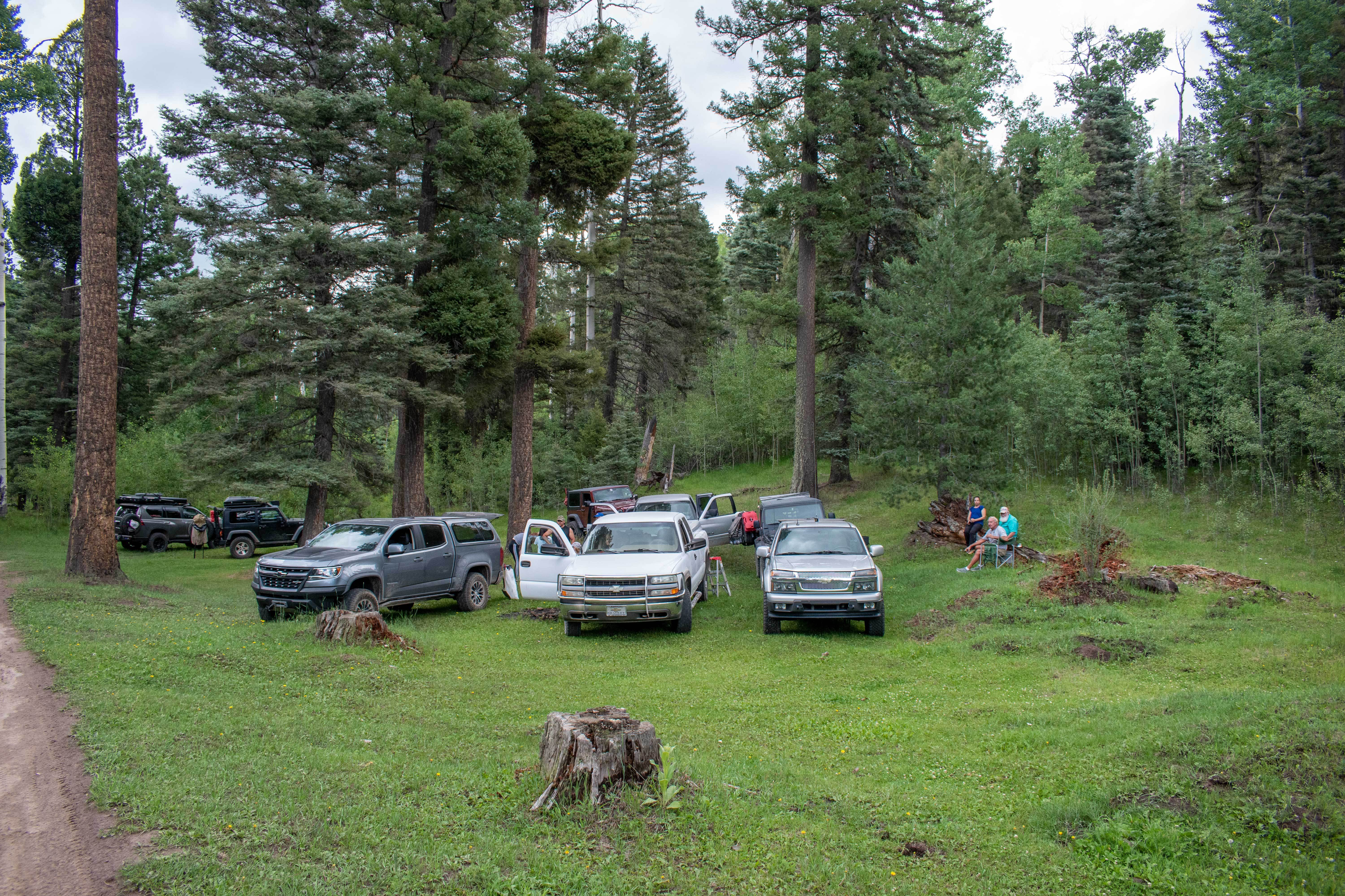
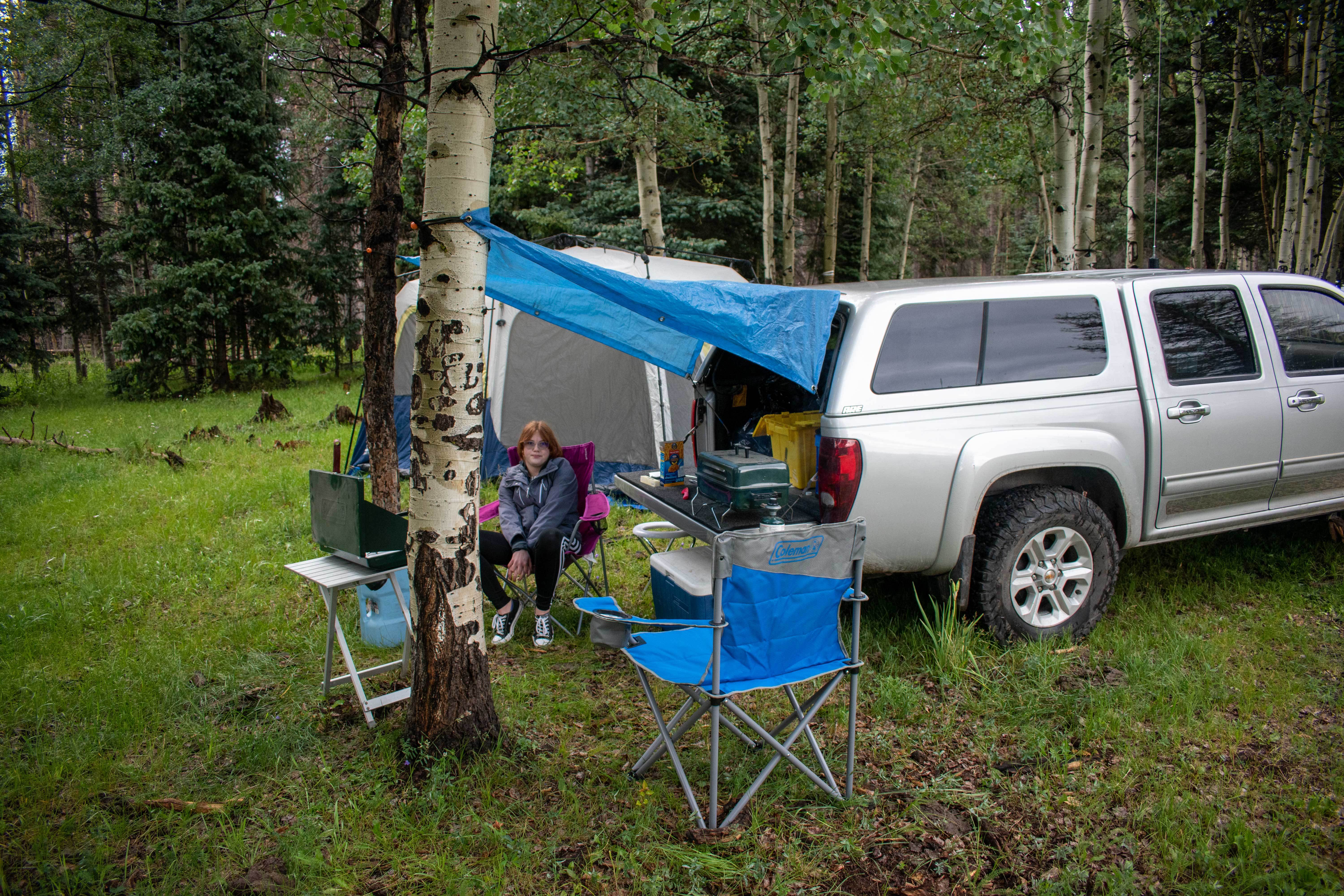
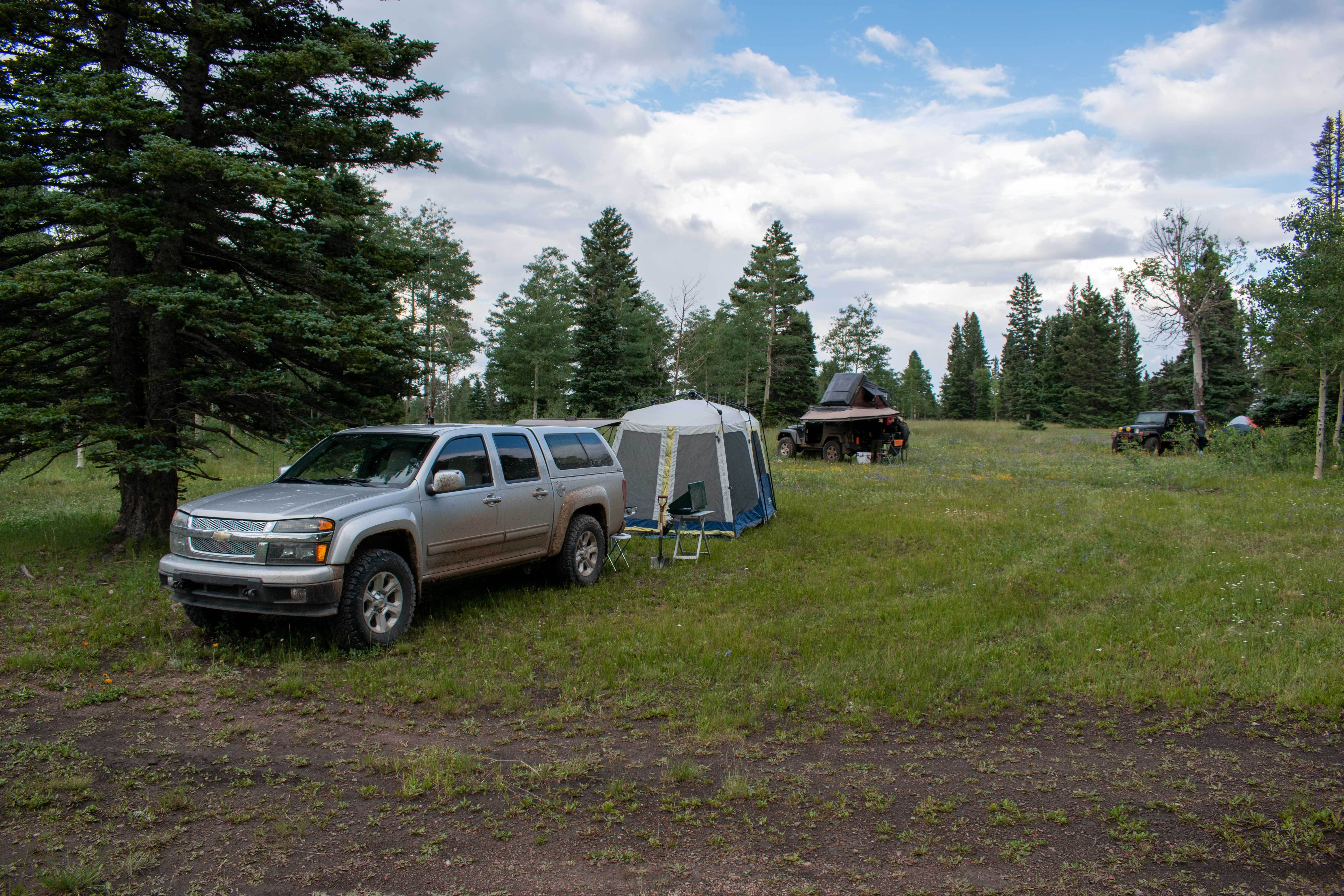
Cruces Basin Wilderness. We decided to head west about 1.5 miles to make camp on FR
572, a corridor into the center of the wilderness area. Day 2, 128 miles.

