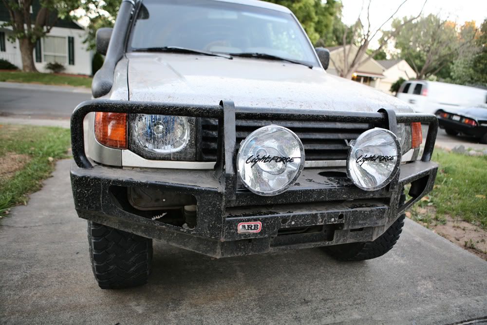
Climb up to Red Top Mountain, Sierra Nevada CA

eurosonic

Expedition Leader
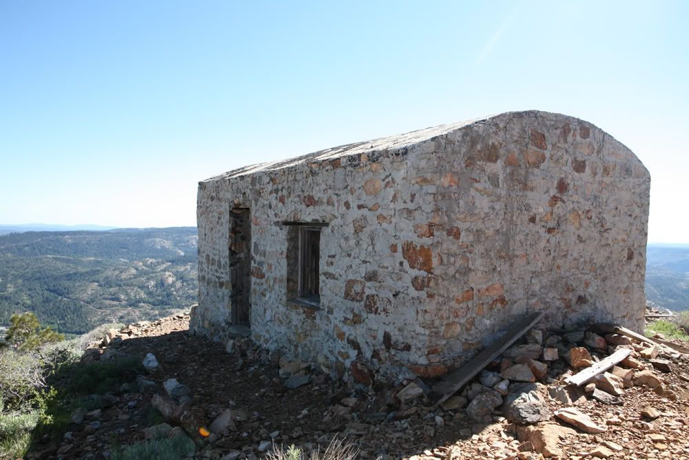
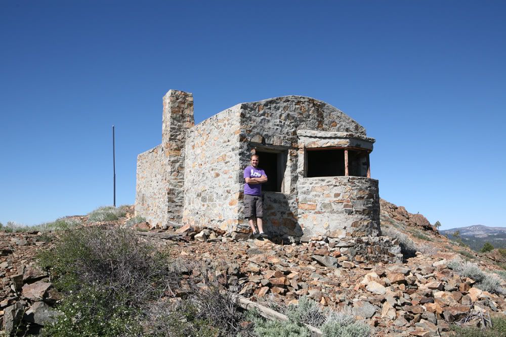
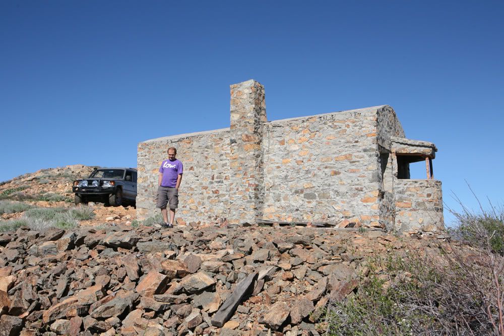
Over the weekend went up a climb to a place called Red Top mountain. Located on one of the highest points in Sierra Nevada mountain range is a fire watch-out station for the original Transcontinental Railroad which was built in the late 18th century. Elevation over 7500 ft.

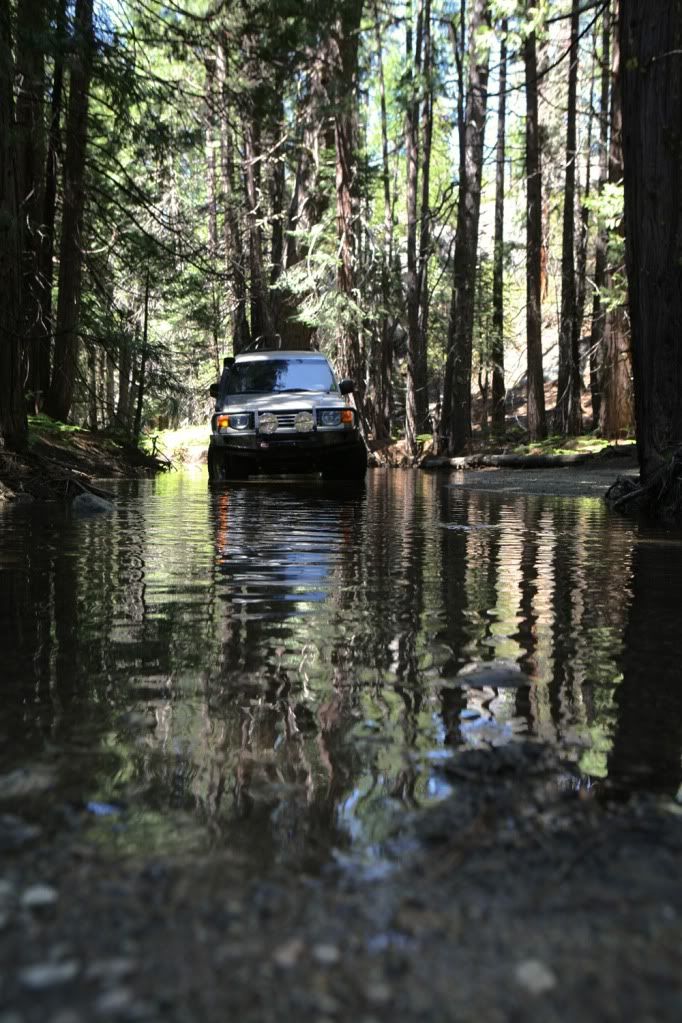
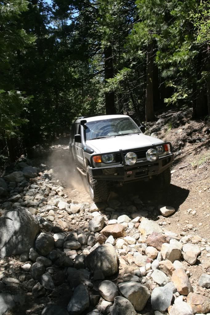
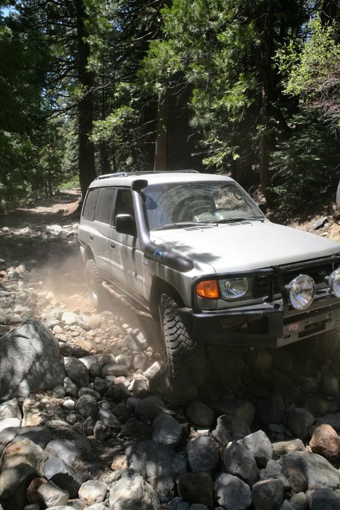
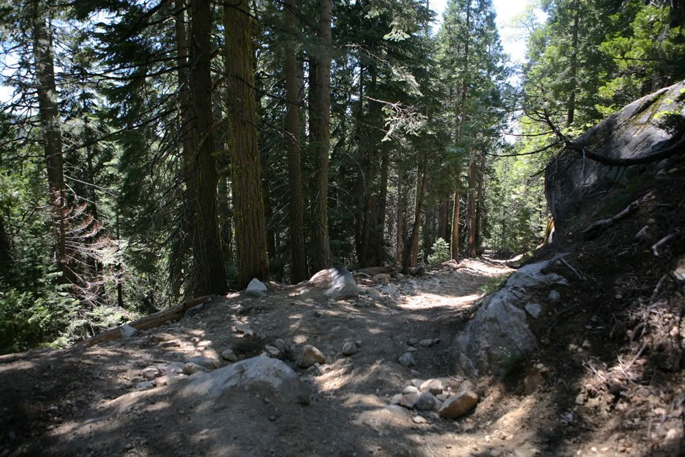
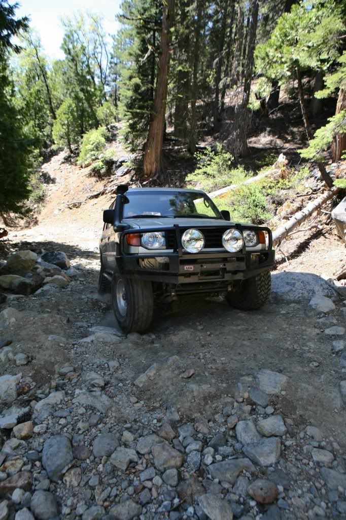
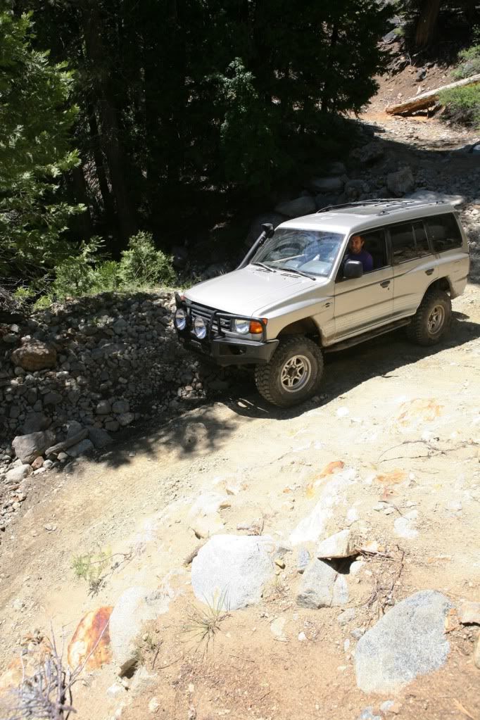
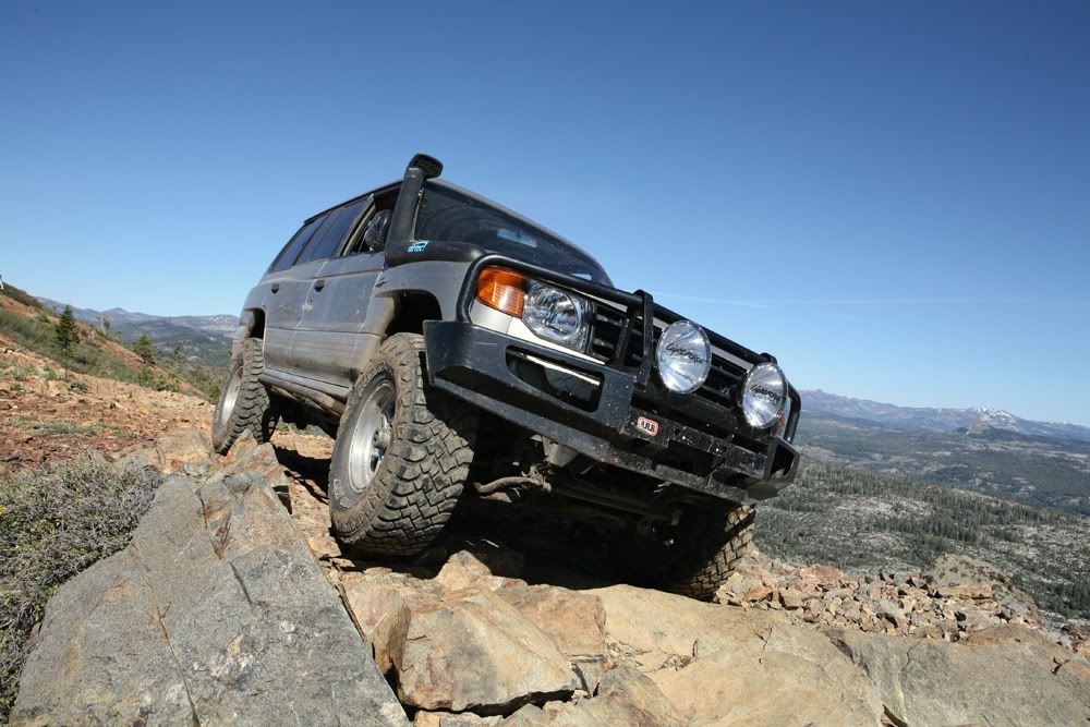
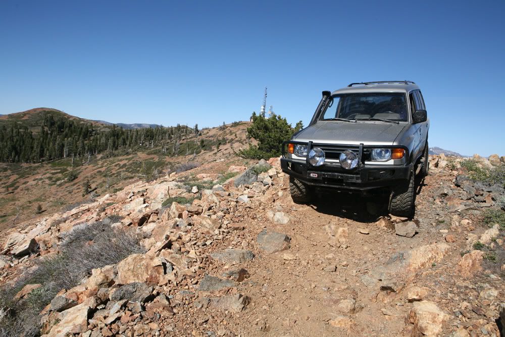
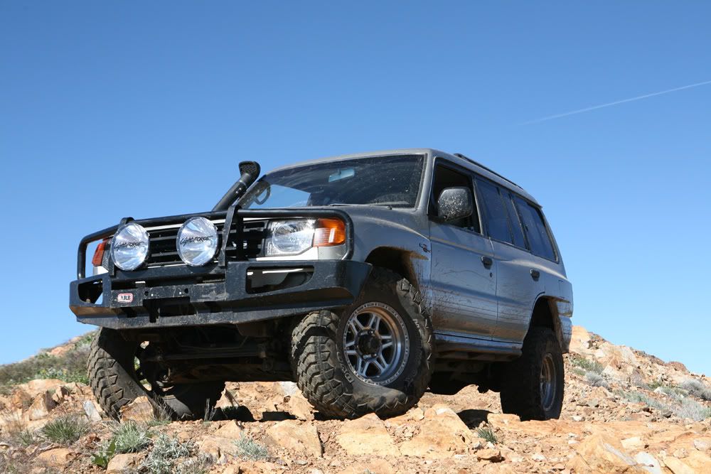
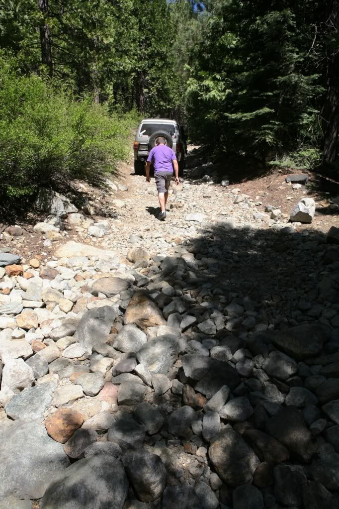
Located about 70 miles from Sacramento, off of Eagle Nest exit on I-80. Awesome trail, few stream crossings, alot of rock and some mud towards the top of the mountain. Trail was pretty challenging at times, rear locker helped quite a bit.

Next time would love to trek up this thing with few other rigs, perfect day trip and maybe stay the night. Saw many perfect places to camp for the night.

Any ways here are some pics :)


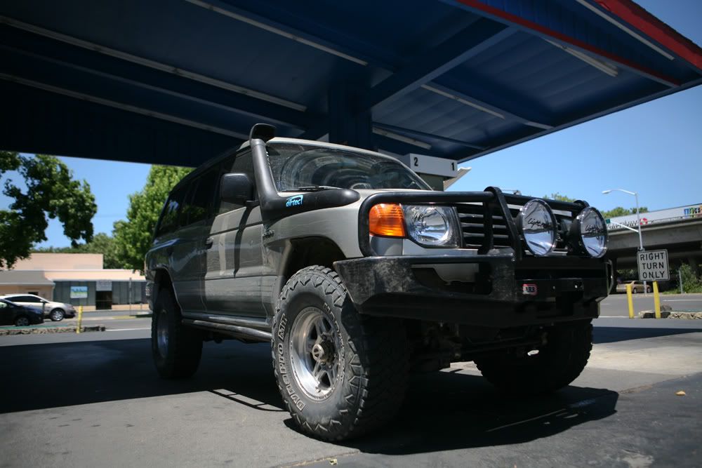
Gassin up

IMG_8834copy.jpg


IMG_8843copy.jpg


IMG_8862copy.jpg


IMG_8864copy.jpg


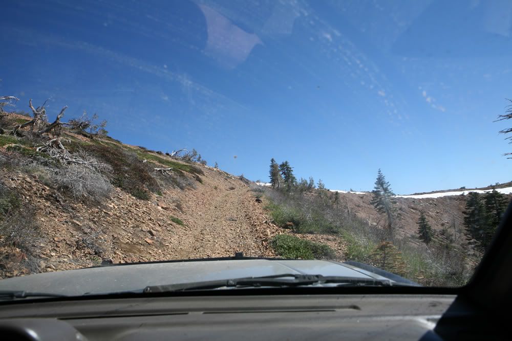
Pictures dont do justice, this part was extremely steep:Wow1:
IMG_8866copy.jpg


IMG_8873copy.jpg


IMG_8875copy.jpg


IMG_8879copy.jpg


IMG_8890copy.jpg


IMG_8892copy.jpg


IMG_8894copy.jpg


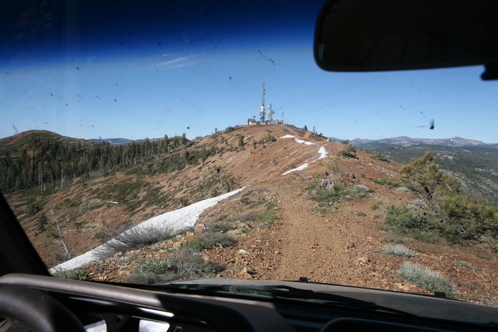
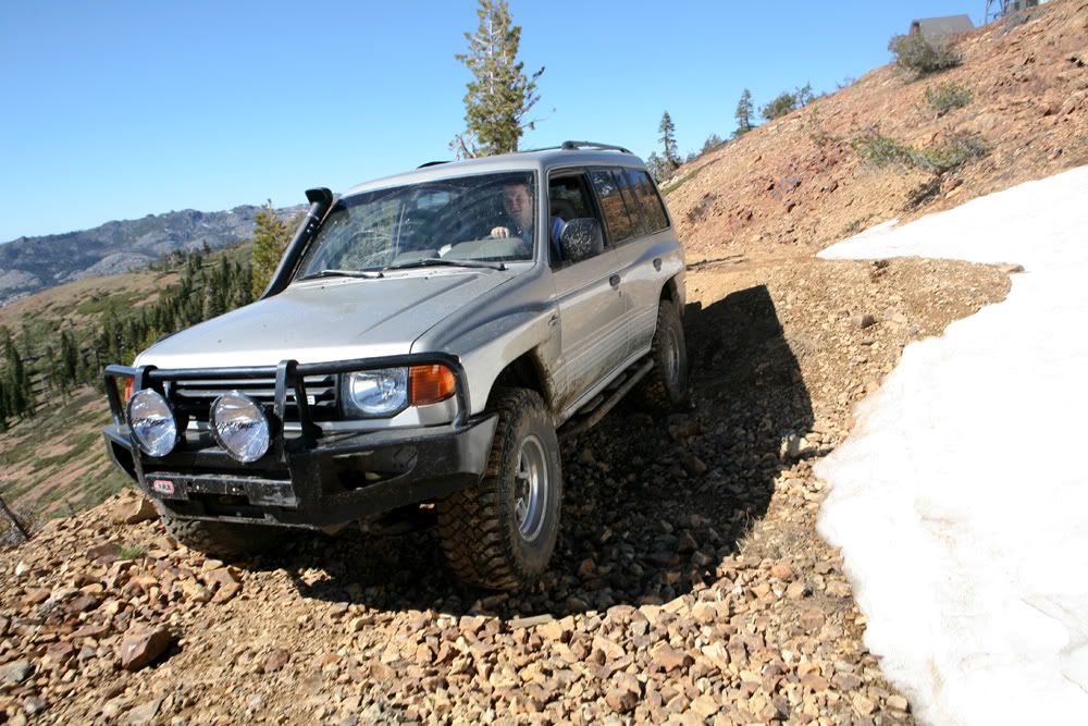
Still some snow left over all the way on top.
IMG_8895copy.jpg


IMG_8899copy.jpg


IMG_8901copy.jpg
 
Last edited:

eurosonic

Expedition Leader
Finally parked

IMG_8902copy.jpg


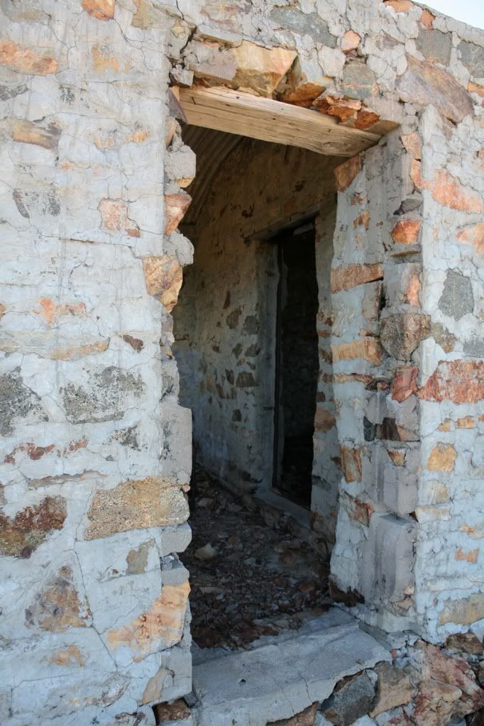
The watch station

IMG_8903copy.jpg


IMG_8906copy.jpg


Cozy

IMG_8907copy.jpg


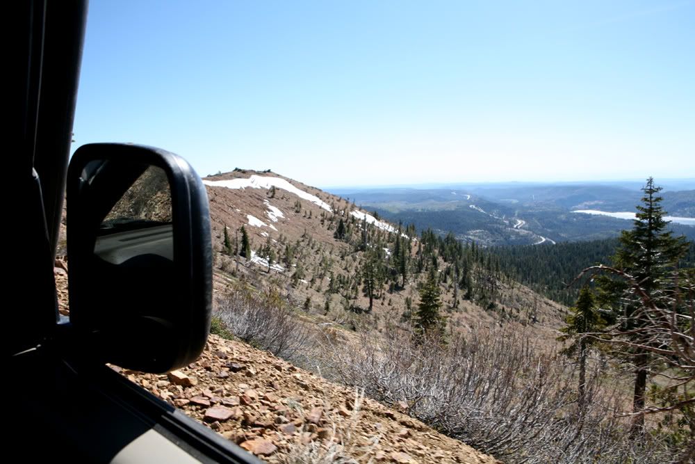
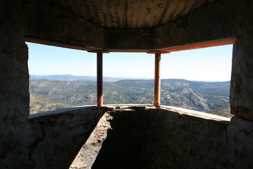
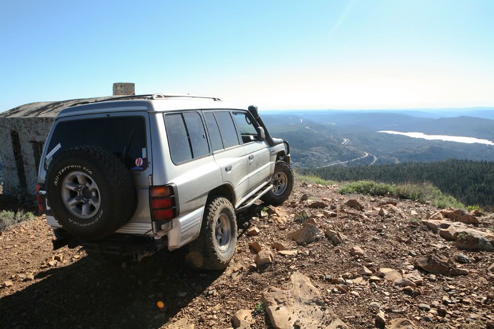
Premium view overlooking the mountains,

IMG_8911copy.jpg


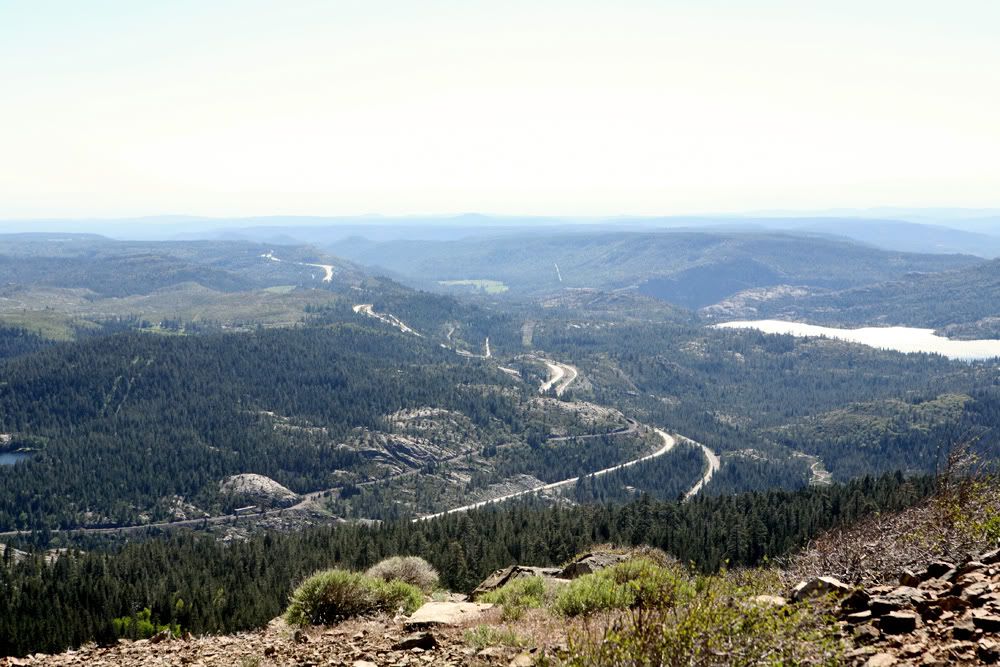
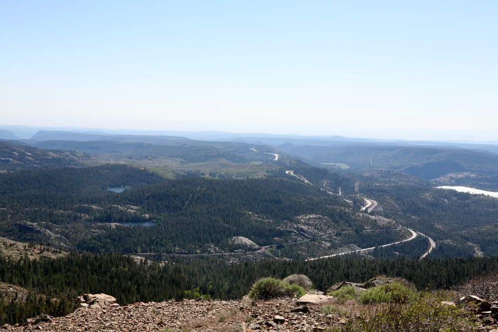
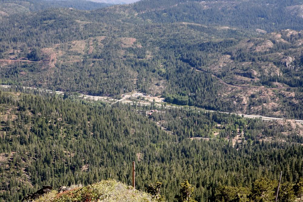
I80 westbound along with rail road to the left

IMG_8912copy.jpg


IMG_8914copy.jpg


IMG_8920copy.jpg


IMG_8924copy.jpg


Doritos bloated due to high elevation

IMG_8930copy.jpg


IMG_8934copy.jpg


Cisco exit

IMG_8939copy.jpg


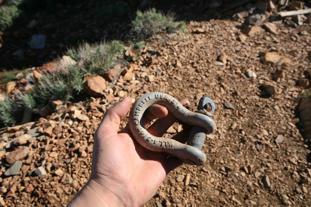
Found a shackle...score!

IMG_8943copy.jpg


so worth it!

IMG_8944copy.jpg


Litterally on the tip of the mountain

IMG_8946copy.jpg


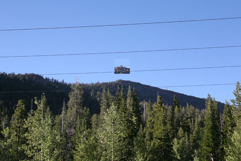
View from the highway below, that dot up top is the watchtower

IMG_8955copy.jpg


made home nice and safe and filthy

IMG_8956copy.jpg
 

slomatt

Adventurer
Nice writeup. Approximately how long of a drive is it from highway 80 to the top of the mountain? We are heading up to Tahoe in a few weeks and I might try to find time to fit this trail into the schedule. Is it clearly marked from the Eagle Nest exit?

- Matt
 

eurosonic

Expedition Leader
The amount of time to get to the top depends on how fast you're gonna climb the mountain, especially the rocky terrain. I had a spotter guide me through quite of few times. So constantly in and out of car, plus we took a few breaks going up to cool off and enjoy the scenery. It took us couple of hours to get to the top.

The trail is not clearly marked off the exit. There is two ways to get to the top, one is off the Eagles Lakes Exit and other is off of Cisco Exit. We came back down the trail on the opposite side of the mountain that leads to Cisco Exit. That trail is was much easier, I think a Subaru forester, Honda CRV or Toy RAV4 would be able to go through it.

Ill post links with detailed directions to reach the top from both of the mountains sides.
 
Last edited:

nwoods

Expedition Leader
Excellent post. Looks like a great little trail with a nice spot for lunch. Fantastic looking Montero also
 

4x4mike

Adventurer
Nice writeup. Approximately how long of a drive is it from highway 80 to the top of the mountain? We are heading up to Tahoe in a few weeks and I might try to find time to fit this trail into the schedule. Is it clearly marked from the Eagle Nest exit?

- Matt


Matt, Ken and I are heading up here soon if you're interested. We'd be taking a day off of work and making it a day trip.
 

Forum statistics

Threads
188,020
Messages
2,901,224
Members
229,411
Latest member
IvaBru
Top