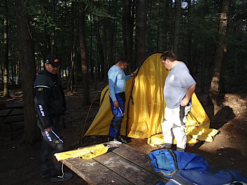
Day Two Ontario
This report is from back in the spring of 2010. Day one left off in a town called Ompah, Ontario. This report is from a trip to explore and route day two of this province.
Met up with Juames and Dan mid June to push the route further west then north up to a small city called North Bay. This section of the route had been examined in detail, many many times. Originally we were to route through a town called Huntsville. That portion of the route had to be re routed due to the G8 Summit taking place in that town We all knew about the G8 but somehow never put two and two together until 2 days before departure. I was a bit dissapointed as I was lookintg forward to some of the trails north of Huntsville that run along the edge of Algonquin Nation Park.
As usual we met up at a Tim's for coffee and to look over the maps again.


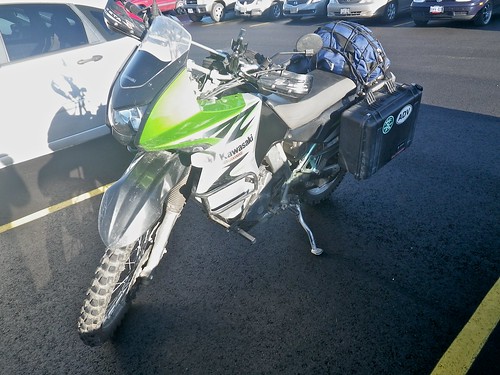
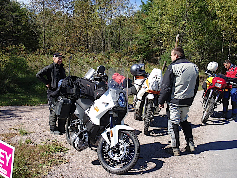
Bikes loaded up for a few days

This will become a reoccuring theme, blasting some slab to catch up to the route.

A bit of gravel thrown in for fun on the way west

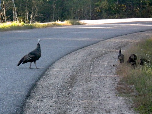
Look out for these guys

Some fun twisties

We last left the route ending in the town of Ompah, Ontario. Ompah has a couple of nice campgrounds, a gas station/general store and a few other small businesses. This is a recommended gas stop on the route and would make a likely place to spend a night.

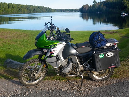
Happy to be back on the route and making progress again

The route takes some slab for about 20 minutes before getting back into some back roads.

These backroads lead onto a long hydro line
44.739296,-77.320662
The hydro line seemed to be in good shape. I had done a trip a couple of weeks back where we rode a long hydro line/back road section that I was sure was this section. It only took about a few minutes to realize that this hydro line wasn't the one I thought we'd be riding. A quick look at the map again just to double check we were in the right place that we'd highlighted for the day's route. Yep this is the one we had pencilled in, ah well it looks long (50+ km's) and so far it seems to be in good shape ..........

A nice gravel base, well travelled, looking good


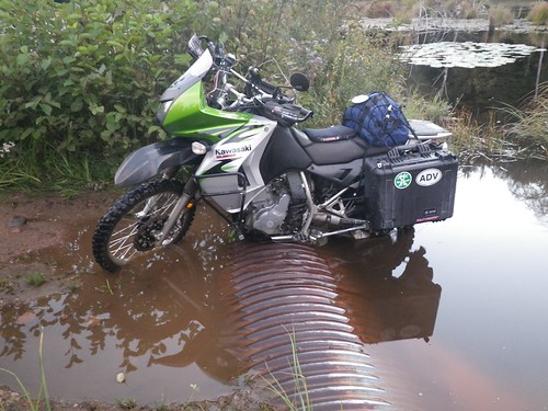
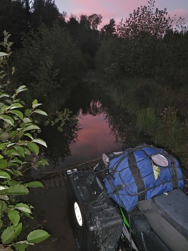
Things started to get wet. Water crossing after water crossing. The good news was that they all seemed to be gravel based and the water level's never got over the front tire.


Some of the water crossing got real dark and murky. A red tint to the water from some mineral in the ground I suppose. Looks cool but a bit unnerving when you don't know how deep they were. We did due dilegence and pre walked a few of the more suspect one's just to be on the safe side.
Juames takes one for the team Heck once your wet your wet, you can't get more wet

Dan getting a big kick out Juames getting wet......his turn will come

This report is from back in the spring of 2010. Day one left off in a town called Ompah, Ontario. This report is from a trip to explore and route day two of this province.
Met up with Juames and Dan mid June to push the route further west then north up to a small city called North Bay. This section of the route had been examined in detail, many many times. Originally we were to route through a town called Huntsville. That portion of the route had to be re routed due to the G8 Summit taking place in that town We all knew about the G8 but somehow never put two and two together until 2 days before departure. I was a bit dissapointed as I was lookintg forward to some of the trails north of Huntsville that run along the edge of Algonquin Nation Park.
As usual we met up at a Tim's for coffee and to look over the maps again.
Bikes loaded up for a few days
This will become a reoccuring theme, blasting some slab to catch up to the route.
A bit of gravel thrown in for fun on the way west
Look out for these guys
Some fun twisties
We last left the route ending in the town of Ompah, Ontario. Ompah has a couple of nice campgrounds, a gas station/general store and a few other small businesses. This is a recommended gas stop on the route and would make a likely place to spend a night.
Happy to be back on the route and making progress again
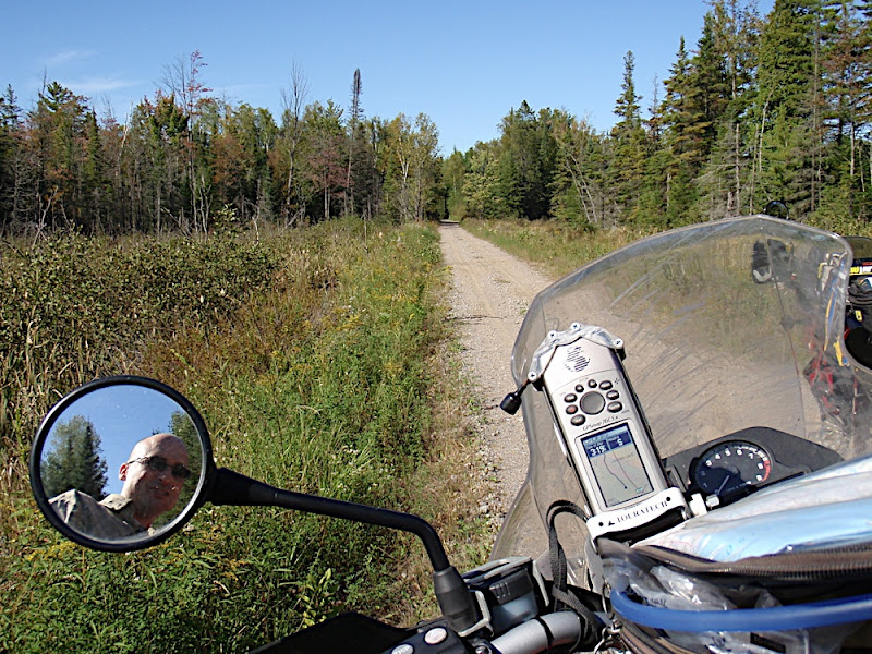
The route takes some slab for about 20 minutes before getting back into some back roads.
These backroads lead onto a long hydro line
44.739296,-77.320662
The hydro line seemed to be in good shape. I had done a trip a couple of weeks back where we rode a long hydro line/back road section that I was sure was this section. It only took about a few minutes to realize that this hydro line wasn't the one I thought we'd be riding. A quick look at the map again just to double check we were in the right place that we'd highlighted for the day's route. Yep this is the one we had pencilled in, ah well it looks long (50+ km's) and so far it seems to be in good shape ..........
A nice gravel base, well travelled, looking good
Things started to get wet. Water crossing after water crossing. The good news was that they all seemed to be gravel based and the water level's never got over the front tire.
Some of the water crossing got real dark and murky. A red tint to the water from some mineral in the ground I suppose. Looks cool but a bit unnerving when you don't know how deep they were. We did due dilegence and pre walked a few of the more suspect one's just to be on the safe side.
Juames takes one for the team Heck once your wet your wet, you can't get more wet
Dan getting a big kick out Juames getting wet......his turn will come


 spent three hours in the shop yesterday until closing waiting for the UPS guy to show and he didn't. The ktm order (others impatiently waiing as well including the shops mechanics) spent three days being loaded onto a truck then redelivered to the wharehouse each night..******.
") . Ps....any ktm 950 fanatics are going to be impressed when they see his next "Flannymobile" , a true work of art.
. Ps....any ktm 950 fanatics are going to be impressed when they see his next "Flannymobile" , a true work of art.