Creating a Cross Canada Overland Route

deadly99

Explorer
Nfld

Mike is creating the section for the province of Newfoundland. Here is an excerpt from a post he made n another forum in regards to this route.


ok, sorry I haven't been a part of the discussion before now despite Ted's lovely introduction. And all I really have at this moment are a couple of wee teasers for what's in store in Newfoundland

Here's a shot from the west coast on the T'Railway, about 100 from Port Aux Basques when we were trying to ride across the island offroad in a single day, only about 800km's if you take the shortcut with 150+ of pavement around Red Indian Lake.

This was where my buddy overshot this weird right chicane and sailed off into an overgrown washout hitting about 8 feet down and breaking 2 ribs. It only took us an hour to get his 450 out of the hole, thank the gods we weren't on our big bikes, his 800GS or my 640A. This section may not make it onto the TCAT as it's below where you'd head up the Northern Peninsula to get onto the TLH, but much of the railbed looks similar.


980180027_4dPU3-L.jpg


sometime later...that might be a part


1083458054_sfzcM-L.jpg


We wanted to prove to ourselves it's doable and felt we accomplished something for ourselves by this time despite losing serious time from mishaps. My buddy is a tough bastard and we rode another 400 km's to Gander after the crash! Better living through chemistry


1083454810_nDUuj-L.jpg


This is a shot of a fun washout on an old spur line section between Argentia and the main line with the CFA's who just got off the ferry headed to the "Skibum Soiree 2010" which is a good option for only having to run the island in one direction, the guy in the foreground from Boston rode this on his 1200GS last year.


1083452106_Ca2hT-L.jpg


Here's a shot of my second flat of the day recently where another friend and I were running terrain near Gander looking for suitable routes for the Rally Newfoundland that we're helping organize for 2011 and beyond, must have something to do with the ultra cheap Shinko's I keep running, hard to pass up $100/pr. Hey Ted, how did you like the 908's?


1059839249_wLTpm-L.jpg


This section is part of a series of logging/mining roads in various stages of decay that should be able to connect the town of Terra Nova to the Bay D'espoir highway if they fix some of the bridges that are out. I'm thinking some of this stuff might be a nice diversion from 900 km's of T'Railway, or maybe only 600 if I can start finding routes north to the ferry to Blanc Sablon. Hurricane Igor did some serious damage in the eastern part of the province and that may have some impact too.
 

deadly99

Explorer
TCAT Alberta

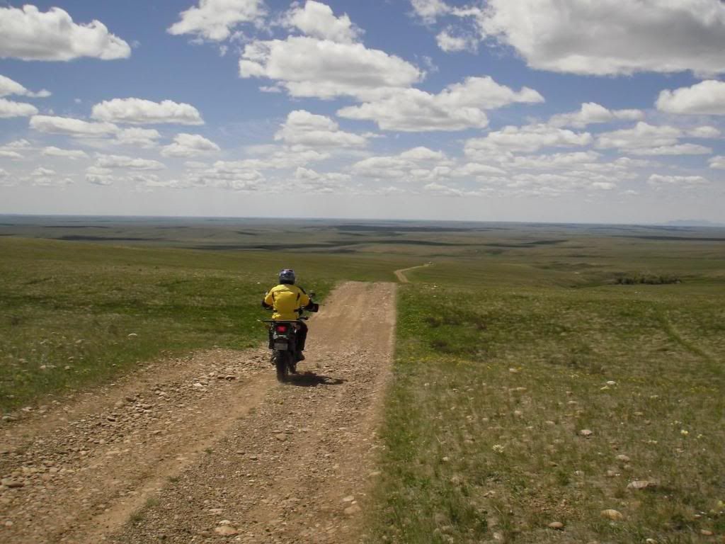
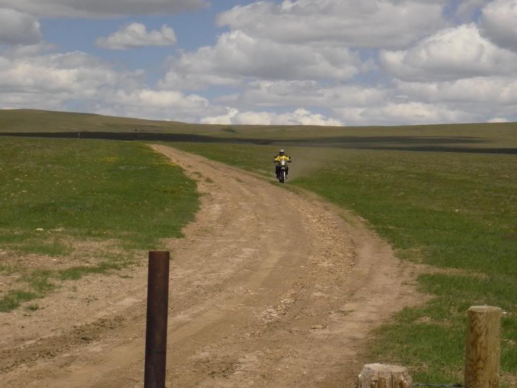
The roads threw the foothills in Alberta are great. We hauled down some fun ones creating dust trails that lingered for miles behind you. With the rocky mountains in our rear view mirrors life couldn't have gotten much better. I'm not sure if these roads are on the exact route the TCAT will follow but I'm sure the terrain and views and will be very similiar.


2898797_l.jpg


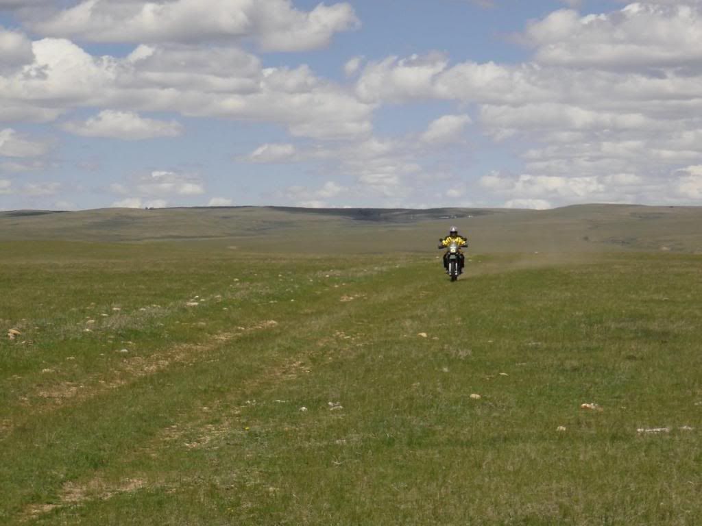
South eastern Alberta and south western Sask offer up some brilliant terrain. Maybe it's just me as I've lived in the mountains, bush and coast but never in the prairies...so for me this was a real treat. I really enjoyed the wide open views and the rolling hills of grass. Chris put me together a route that will be included as a part of the TCAT, thanks ! Freaking fantastic


We got to the intended route during the middle of the night. The truck has pretty sweet aux lights mounted on the bumper and we had a blast ripping down the twisty, hilly roads. My buddy IV doing the navagting (maps and gps) and calling out the corners as we approached. A full on rally style run occured for a few hours until we toke a break and boiled up some more bean and watched the sun rise. One of those mornings that will never be forgotten


2898779_l.jpg


2898780_l.jpg


After the sun came up we followed the route to the Cypress Hills park.


2898781_l.jpg


I wish all parks were like this one in Canada. Double track gravel roads going right threw it, almost as if it was made for big dual sport bikes...maybe it was ?


2898782_l.jpg


2898783_l.jpg


This area fits in perfect for the "main route" of the TCAT. The terrain isn't too technical, it's doable by big bikes and 4 wheel vechicles, gives that feeling of remoteness and offers up a good look at Canada...the Canada that isn't over polulated and covered in ashpalt. For many this area will be a highlight of the route, I think. It took us about half a day to get through it (off course we took a wrong turn here and there and also had to do a few "I wonder where this trail goes"). There are a couple of beauty camp sites in the park as well


2898787_l.jpg


IV hard at work with the maps. Not sure if this is where we got turned around or not ... I didnt have my bike gps with us (just an old Nuvi) so we couldnt load any routes/tracks. We used some printed out Google maps and a generic map from the gps. Made navagation a bit "fun" in a few spots :)


2898785_l.jpg


2898784_l.jpg


2898788_l.jpg


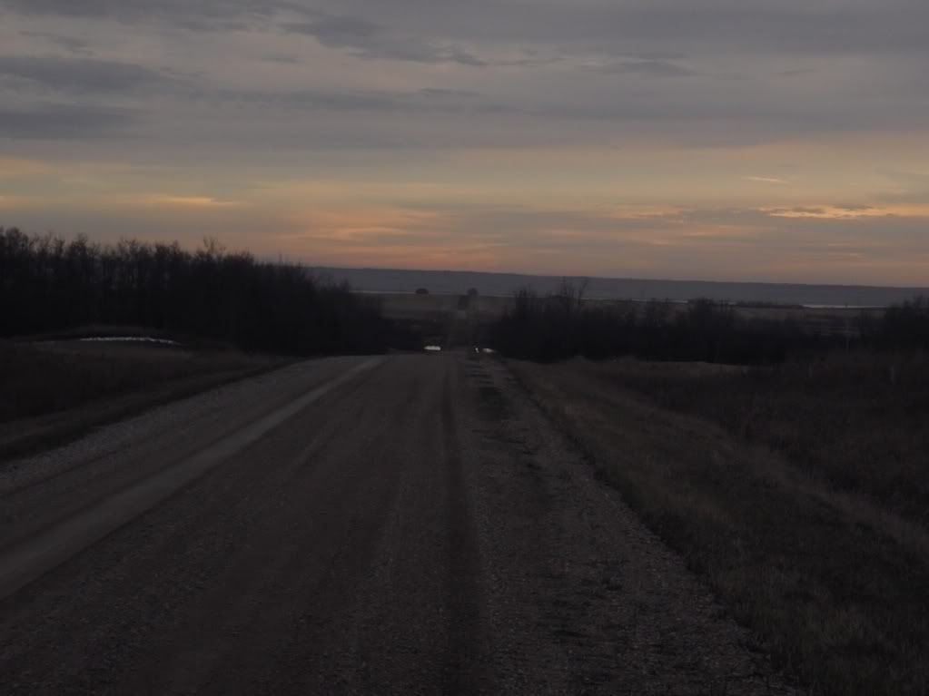
Real fun ripping down this road towards the Montanna border. This was a nice high plateau with some great scenery across the prairies.


2898800_l.jpg
 

deadly99

Explorer
Awesome man. The new truck looks great. How long did it take you to drive back in total?


4800 km's (approx 2900 miles) in 4 days. A rushed trip indeed, a more leisurly one is planned for the western provinces in the upcoming year or so. That being said we did travel approximately 1000 km's of gravel on this quick excursion :)
 

deadly99

Explorer
The fun way to enter Saskatchewan


2898786_l.jpg


The roads went on for a while, the "unpassable when wet" raised an eyebrow as the sun was coming out and the ground was thawing. I guess it gets a bit slick during the wet season ? There weren't any crazy hills or anything so I don't see "unpassable" happening...maybe a wee bit challenging but not unpassable. A couple of hills where I suppose the ground gets slick when wet, lot's of tree's though to assist if needed.

2898789_l.jpg


A VERY fun area indeed and a great addition to the route.


I really enjoyed the prairie scenery. Sorry I didn't grab any pics but we had some fun blasting some nice long gravel roads. A complete grid of gravel of we termed it. Very fun just to unwind and enjoy the scenery.


2898794_l.jpg


2898802_l.jpg


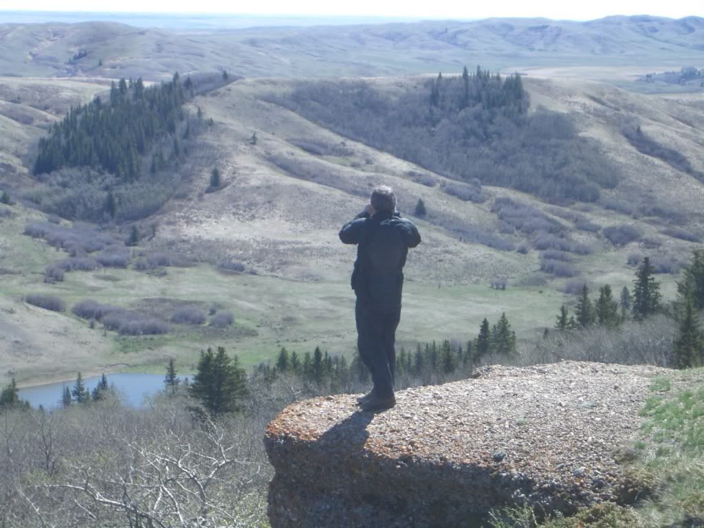
This view seen from a scenic viewpoint in the Cypress park seems to have left a lasting impression on me........


2898799_l.jpg
 

deadly99

Explorer
NOTE: a couple of posts from Chris who is taking on the Sask/Alberta portion of the route. This is being cross posted from another site so please excuse if the timelines, etc don't make sense


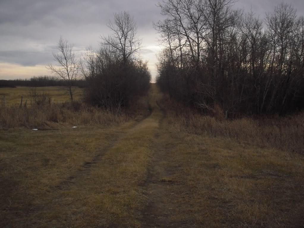
A nice road in the southern end of the Nisbet Forest about 10 km north of the town of Duck Lake SK.


PB030283.jpg


Heading south just across Hwy 11.


PB030310.jpg


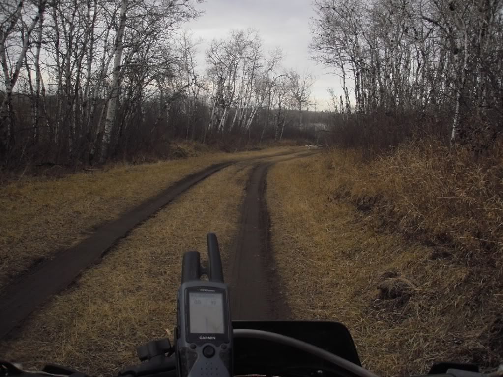
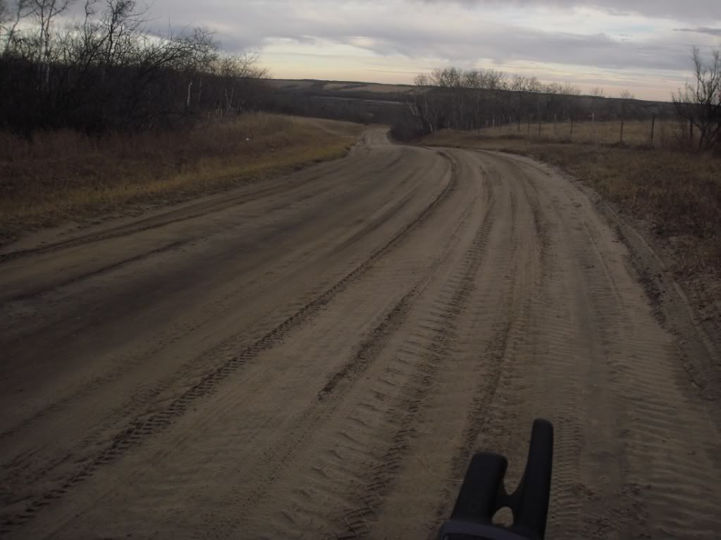
The road to the St. Laurent Ferry. This road was fast, curvy packed sand and a lot of fun to ride. Too bad it's only about 5 km long!


PB030314.jpg


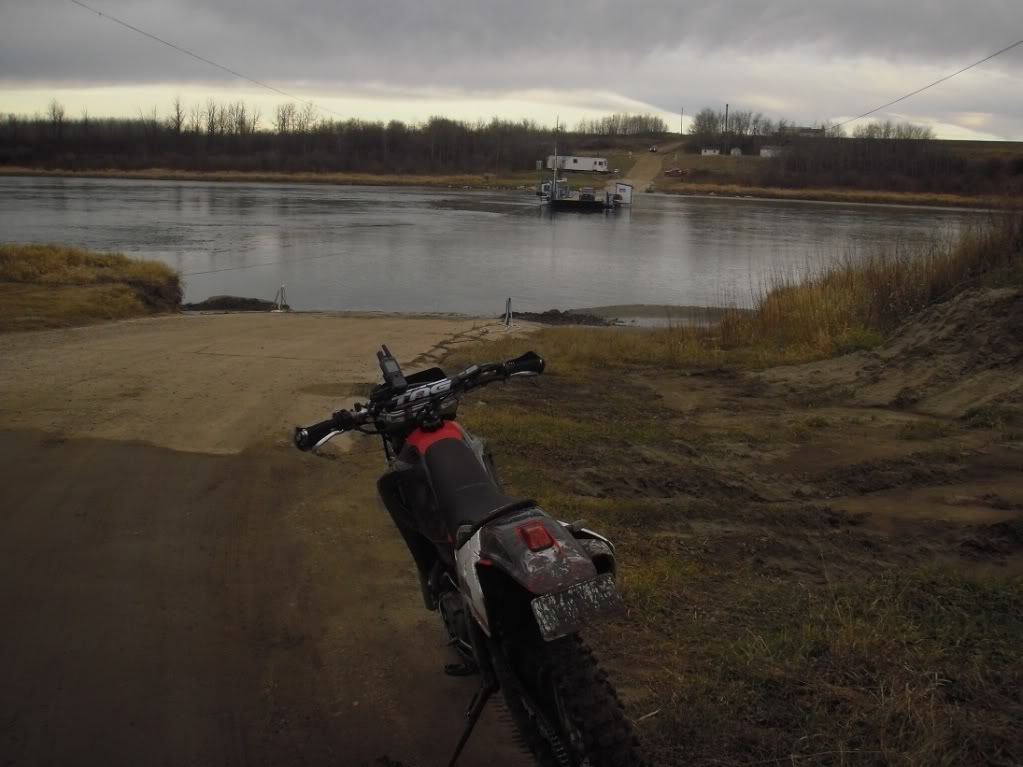
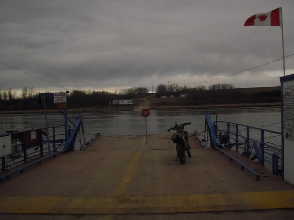
Waiting for the ferry. Saskatchewan has many of these river ferrys. You never have to wait long for them since the river isn't exactly very wide. They also run long hours, though the operator does take a half hour lunch break and a half hour supper break.


PB030316.jpg


Riding the ferry. The operator thought it was funny when I asked if I was overloading him.


PB030322.jpg


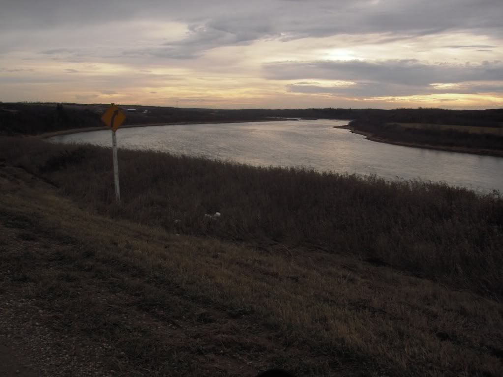
A view of the South Saskatchewan River near the St. Laurent Ferry.


PB030328.jpg


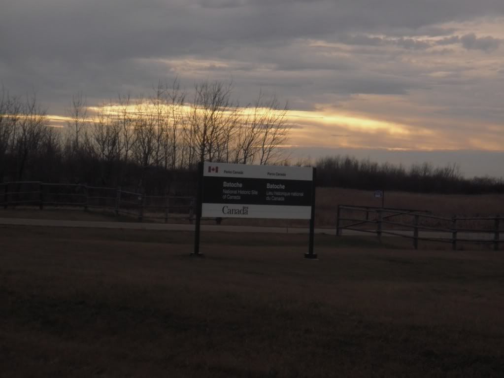
For those interested in Canadian History, the route will run right by Batoche, which is the site of the final battle of the 1885 Riel Rebellion. Even for those non-history-buffs it's worth a quick stop for a look.


PB030336.jpg


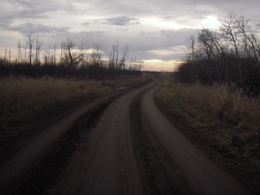
A dirt road on the One Arrow Reserve.


PB030340.jpg


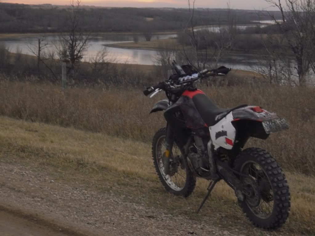
My XR enjoys another view of the South Saskatchewan, this one near the Fish Creek battle site.


PB030360.jpg


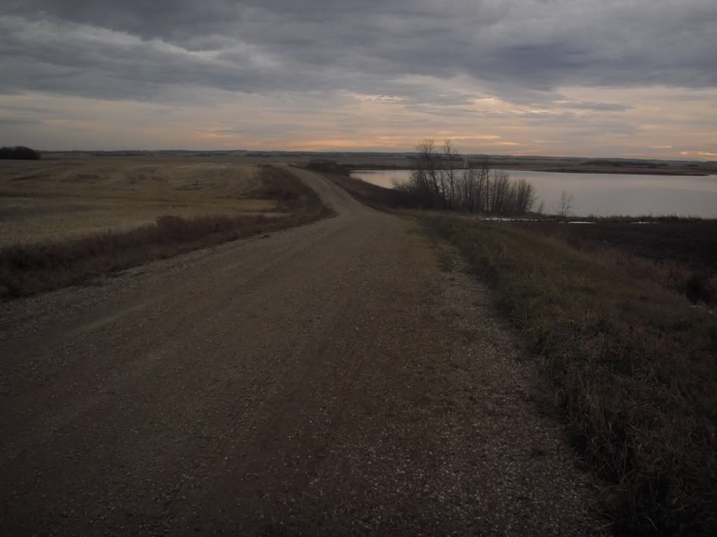
A nice gravel road north of the town of Alvena, SK. It's really easy to get across Saskatchewan on only gravel roads, the tough part is finding the ones that are not DFDS (dead flat dead straight).


PB030363.jpg


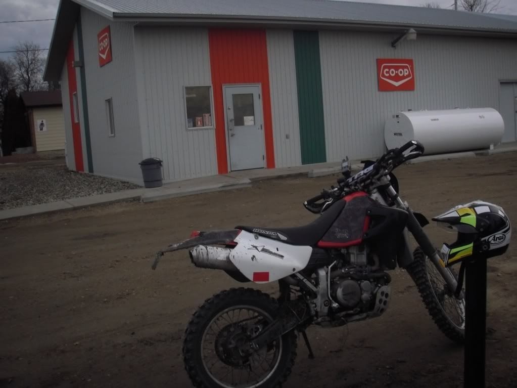
The Alvena Co-op. I was on reserve, and Alvena only has about 50 people at the most, so I figured that knowledge that there is a gas station there was important.


PB030366.jpg


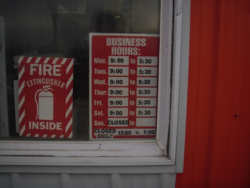
Alvena Co-op hours. These are winter hours. In summer they open an hour earlier and close a half hour later.


PB030364.jpg


The road south of Alvena.


PB030370.jpg


It was getting dark and cooling off at this point, so I made a beeline for home. Got some good scouting done though, and have an idea whether my plans will work (they will, for the most part!).
 

deadly99

Explorer
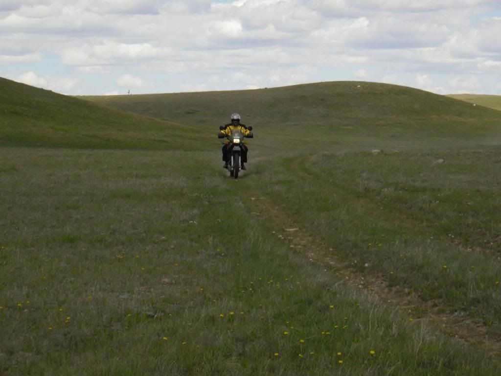
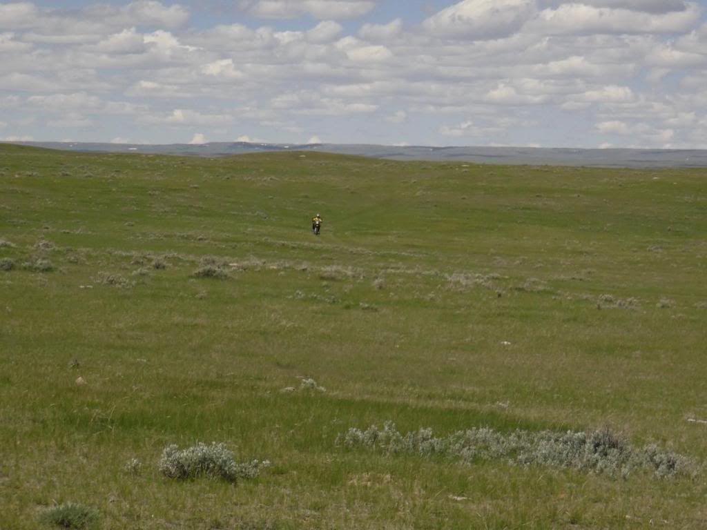
Some more pictures from folks helping with the route. These are in the province of Saskatchewan. It's one of the praire provinces in the middle/left of the country. Most folks only this province from the main paved highway that crosses the country. What most don't realize is that there are some excellent roads/trails for overland travel.


attachment.php


P6060299.jpg


P6060300.jpg


P6060302.jpg


P6060306.jpg


P6060308.jpg


CypressHills-May07076.jpg


IMG_3298.JPG


IMG_3462.JPG


IMG_3468.JPG


IMG_3302.JPG


IMG_3471.JPG


I think many Canadians will be very surprised at the secenery and roads/trails in this province. For folks coming from other area's of the world I believe this area of the route will remind them of "the wild west" from old movies. A huge thanks to Chris fro all the hard work he is putting into the route :victory:
 

deadly99

Explorer


Sorry for the lame quality, just getting into the video game. A new Go Pro is on the xmas list so hopefully next season I'll be able to post more vid's along with the photo's.

Anyways, this is a section of the route in Eastern Ontario. Typically it isn't this wet but you don't get to pick the weather :)
 

Douglas S.

Adventurer
Did you go through Elkwater on your way into the Sask side of the Cypress Hills? The reason I ask is that I usually spend a week or so backpacking in the West Block (Sask. side) every year and some of those roads look very familiar.
 

deadly99

Explorer
Did you go through Elkwater on your way into the Sask side of the Cypress Hills? The reason I ask is that I usually spend a week or so backpacking in the West Block (Sask. side) every year and some of those roads look very familiar.


I do believe we did.
 

Forum statistics

Threads
189,485
Messages
2,917,333
Members
232,376
Latest member
KurtActual
Top