Creating a Cross Canada Overland Route

deadly99

Explorer
Newfoundland Continued

NOTE: cross posted from Mike, aka Skibum69
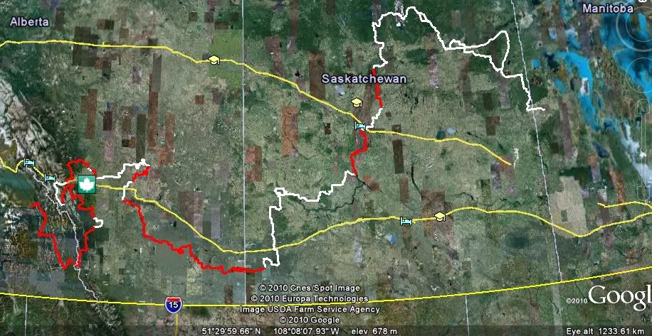
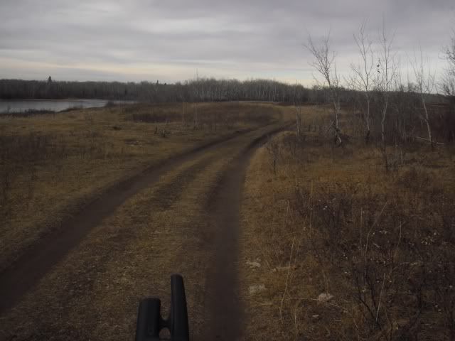
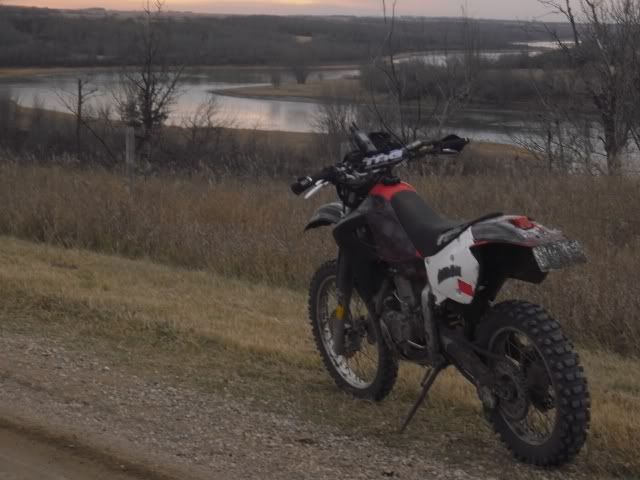
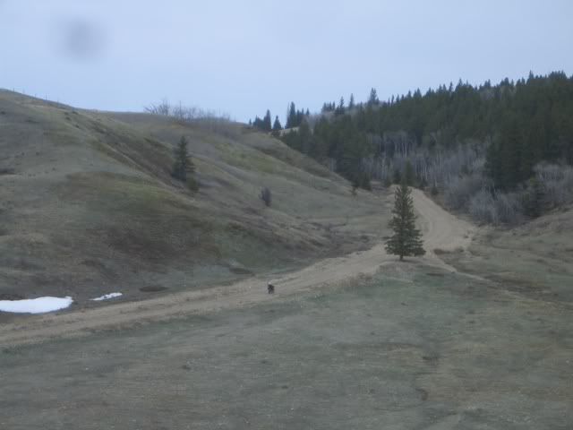
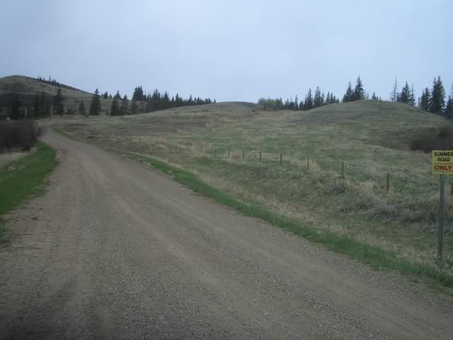
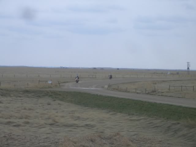
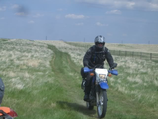
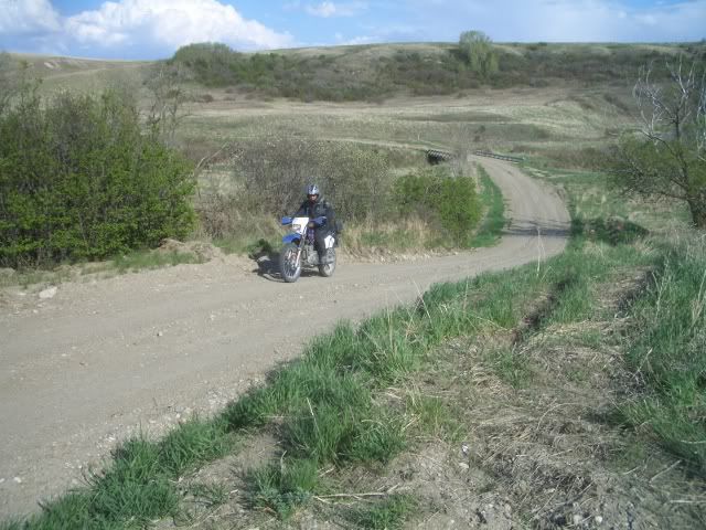
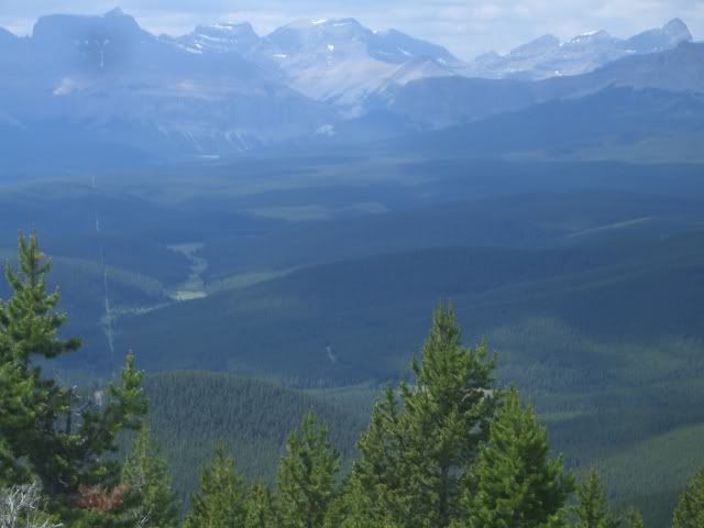
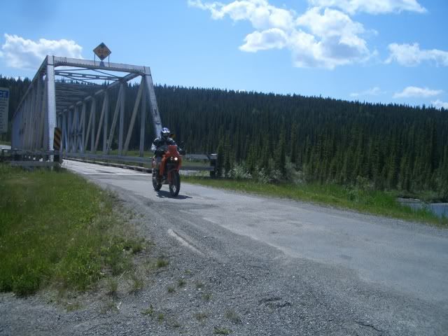
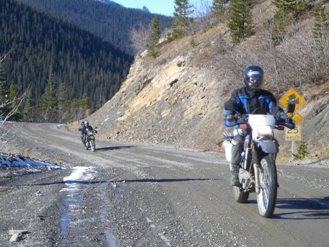
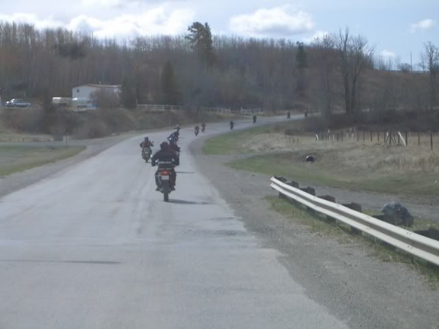
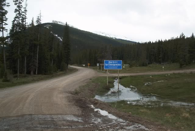
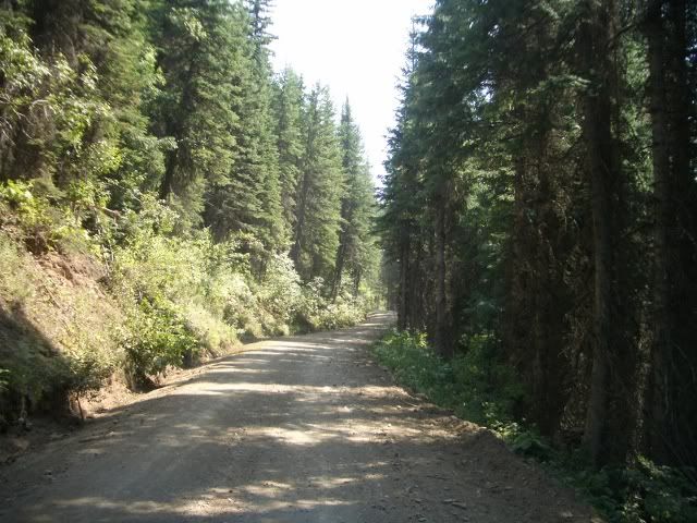
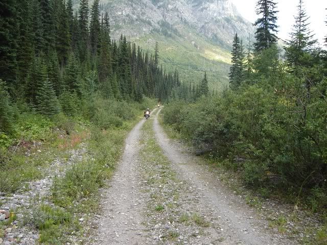
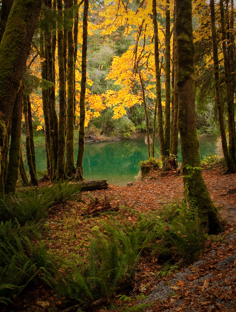
Here's a shot from the west coast on the T'Railway, about 100 from Port Aux Basques when we were trying to ride across the island offroad in a single day, only about 800km's if you take the shortcut with 150+ of pavement around Red Indian Lake.

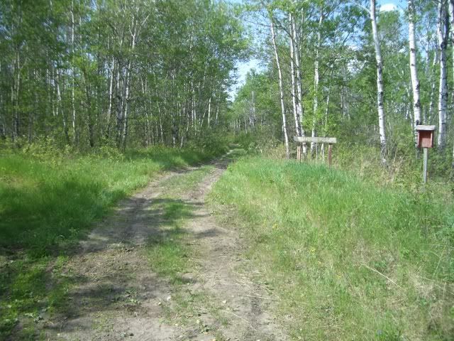
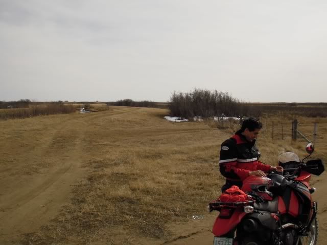
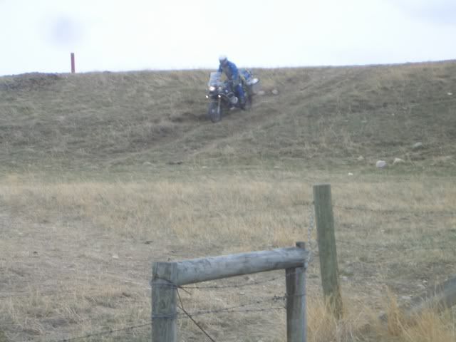
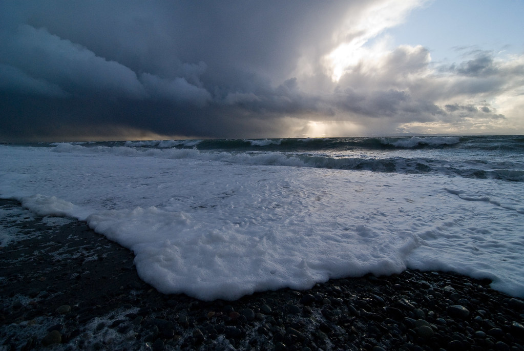
This was where my buddy overshot this weird right chicane and sailed off into an overgrown washout hitting about 8 feet down and breaking 2 ribs. It only took us an hour to get his 450 out of the hole, thank the gods we weren't on our big bikes, his 800GS or my 640A. This section may not make it onto the TCAT as it's below where you'd head up the Northern Peninsula to get onto the TLH, but much of the railbed looks similar.


980180027_4dPU3-L.jpg


sometime later...that might be a part


1083458054_sfzcM-L.jpg


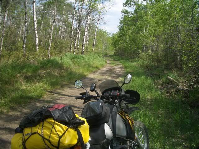
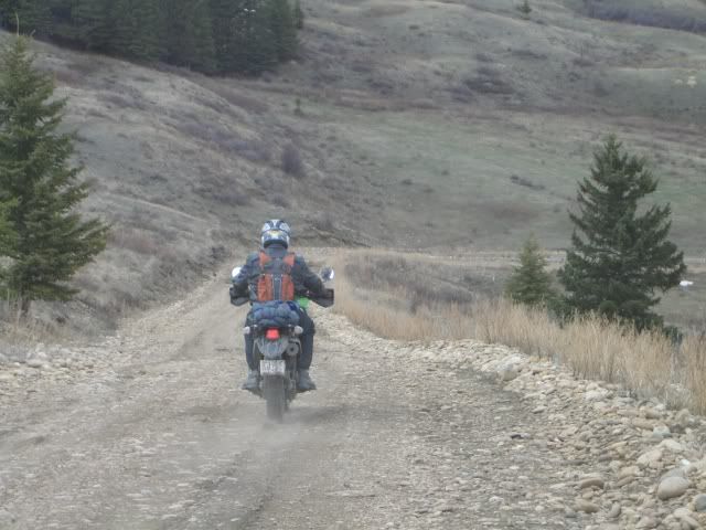
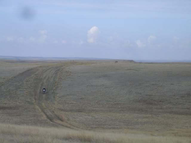
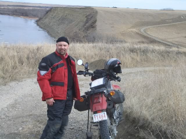
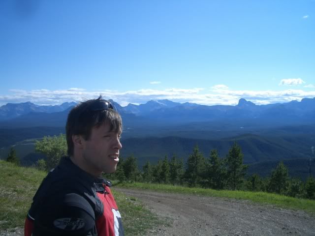
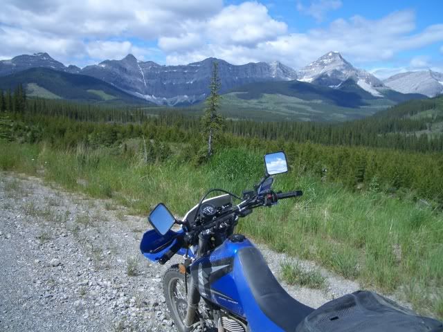
We wanted to prove to ourselves it's doable and felt we accomplished something for ourselves by this time despite losing serious time from mishaps. My buddy is a tough bastard and we rode another 400 km's to Gander after the crash! Better living through chemistry


1083454810_nDUuj-L.jpg


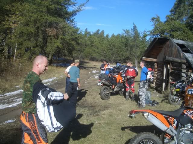
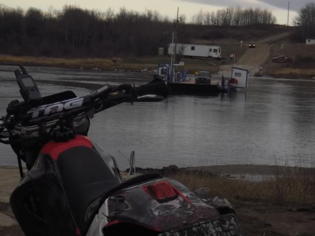
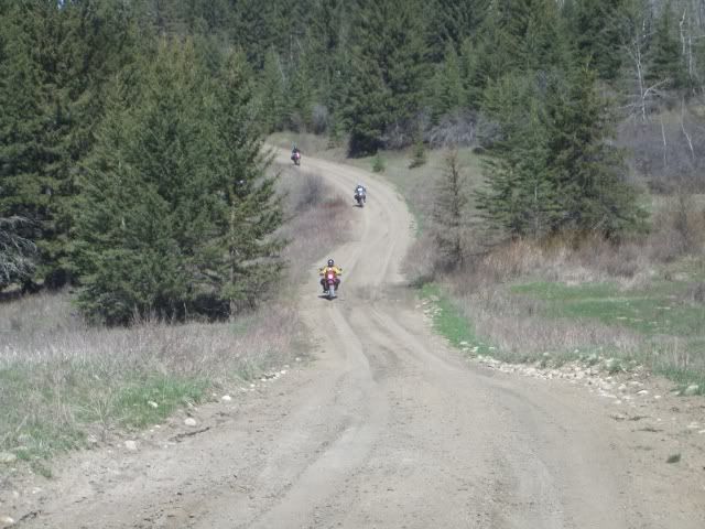
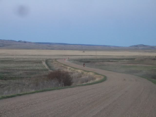
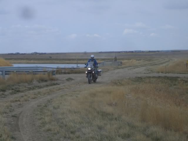
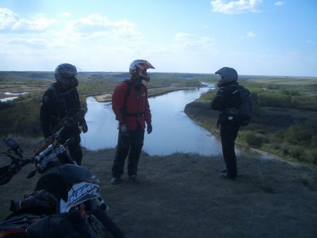
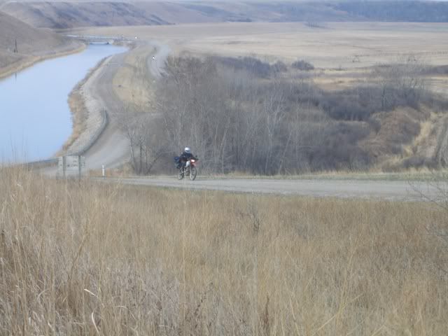
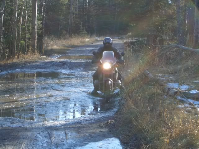
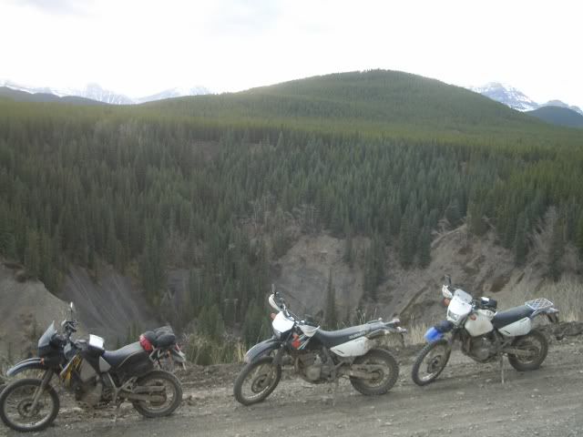
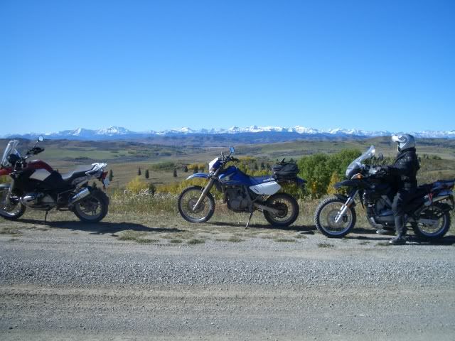
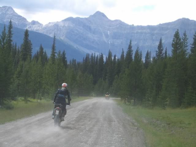
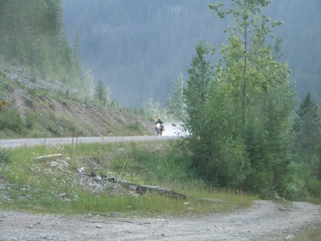
This is a shot of a fun washout on an old spur line section between Argentia and the main line with the CFA's who just got off the ferry headed to the "Skibum Soiree 2010" which is a good option for only having to run the island in one direction, the guy in the foreground from Boston rode this on his 1200GS last year.


1083452106_Ca2hT-L.jpg


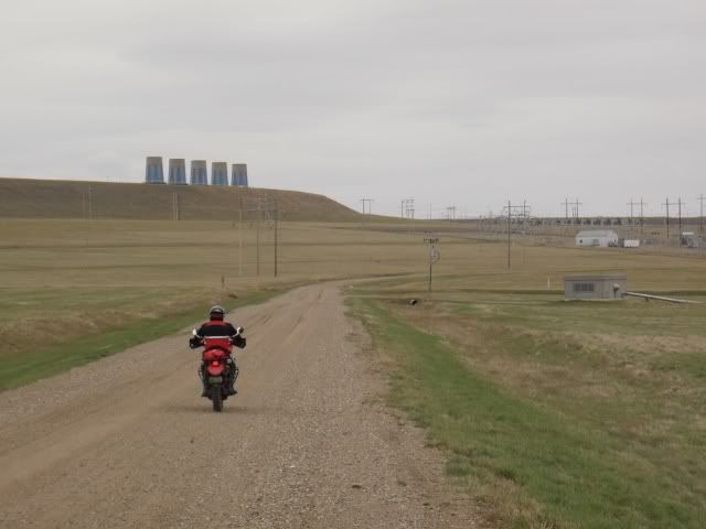
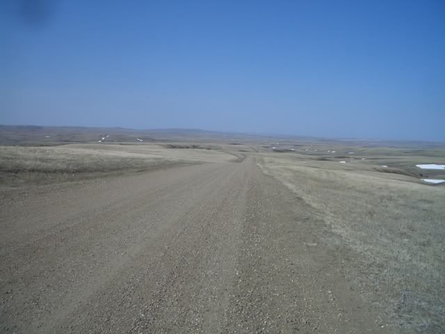
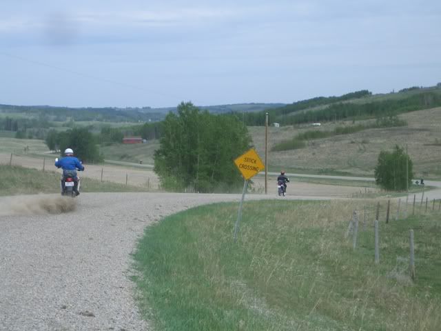
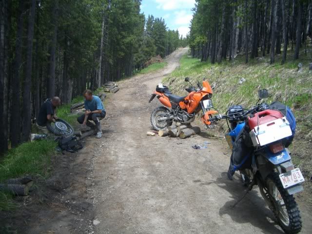
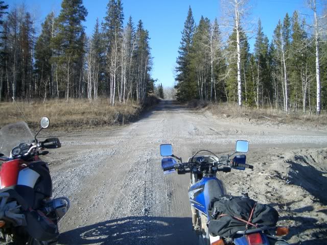
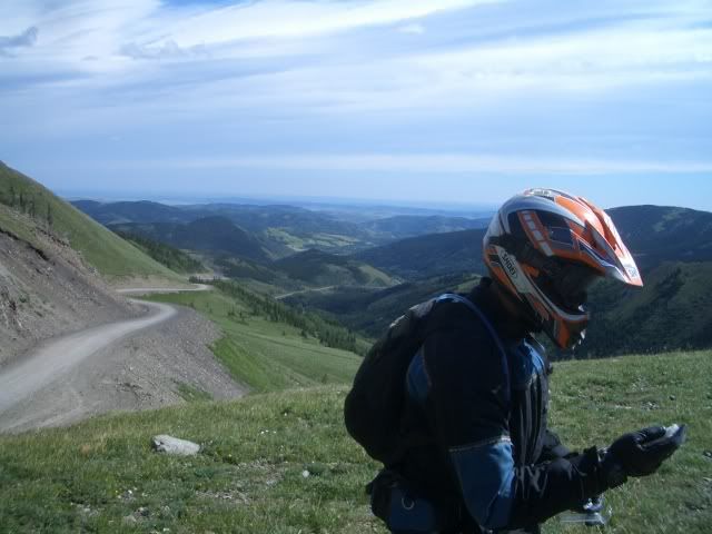
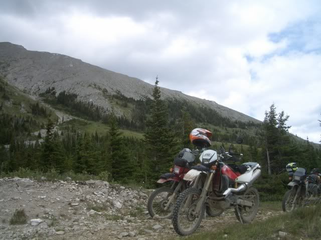
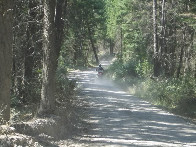
Here's a shot of my second flat of the day recently where another friend and I were running terrain near Gander looking for suitable routes for the Rally Newfoundland that we're helping organize for 2011 and beyond, must have something to do with the ultra cheap Shinko's I keep running, hard to pass up $100/pr.


1059839249_wLTpm-L.jpg


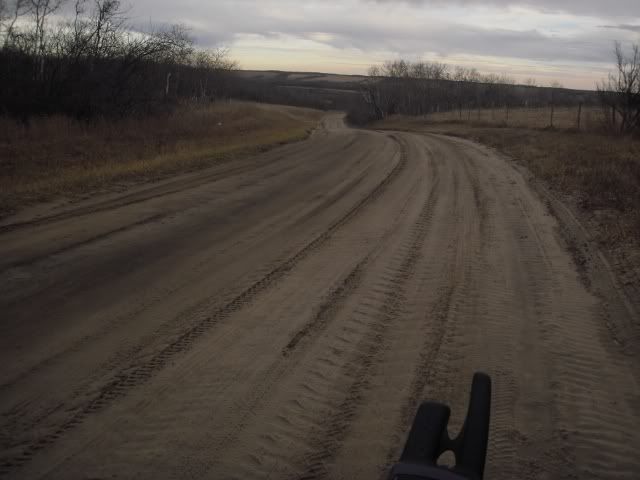
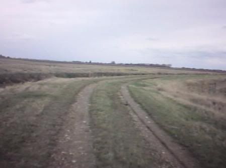
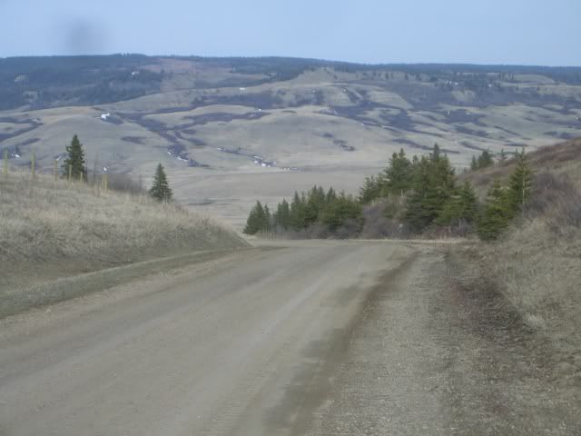
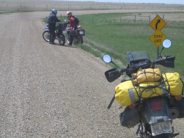
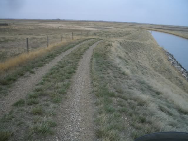
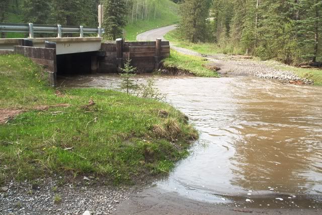
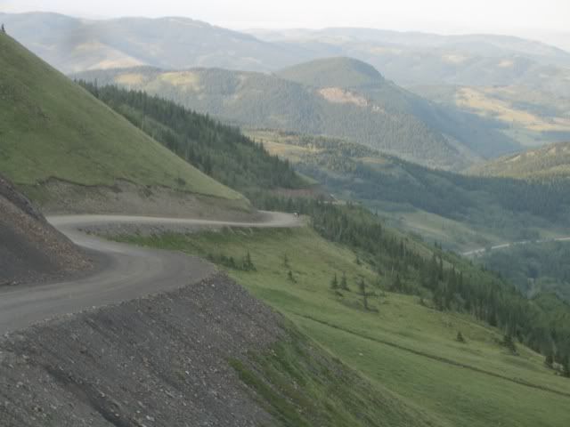
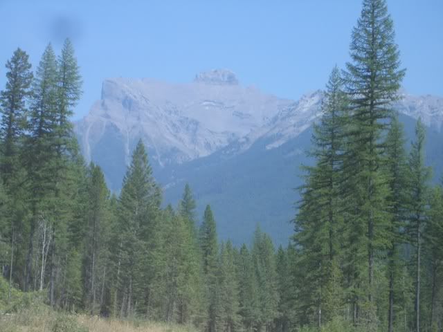
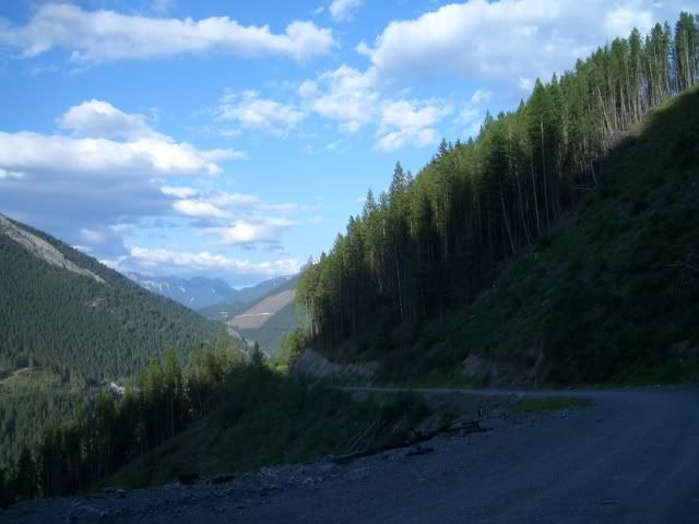
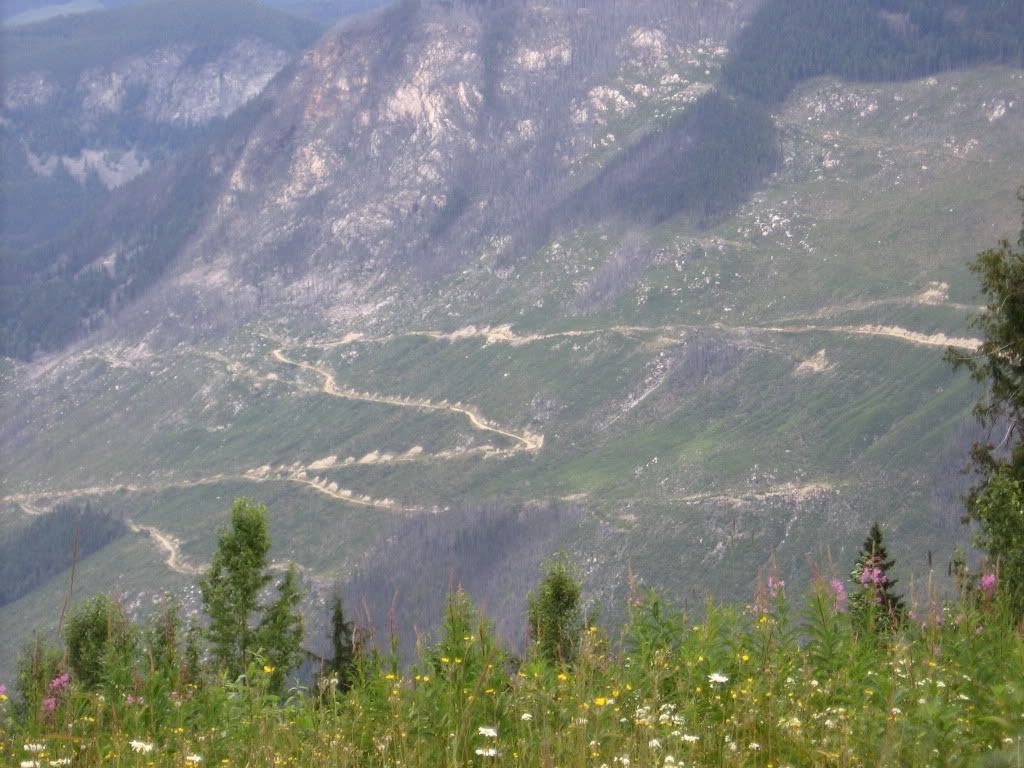
This section is part of a series of logging/mining roads in various stages of decay that should be able to connect the town of Terra Nova to the Bay D'espoir highway if they fix some of the bridges that are out. I'm thinking some of this stuff might be a nice diversion from 900 km's of T'Railway, or maybe only 600 if I can start finding routes north to the ferry to Blanc Sablon. Hurricane Igor did some serious damage in the eastern part of the province and that may have some impact too.
 

deadly99

Explorer
British Columbia

A few pics from BC :Wow1:

IMG_0783.jpg


571175318_TZzc6-XL.jpg


The BC portion will be approximtaely 8 days, based on an average speed and average ride/drive day.


801892318_HbxF7-XL.jpg


More BC and Alberta to come :drool:
 
Last edited:

deadly99

Explorer
Newfoundland

There's more to come from Newfoundland as well....a few teaser pics :ylsmoke:


299409009_dgCms-XL.jpg


302401048_fXQZH-XL.jpg


The route is really starting to take shape. We have a handful of folks helping out, each has "adopted" a section. This has speeded things up significantly. Unless something odd happens we hope to have the route completed and ready to distribute in the Fall of 2012.

Thanks for reading :smiley_drive:

ps...looking for some folks to "pre drive" a few sections next year ........ the bulk of the route has been done by bikes up until now and it would be nice to have a perspective from some four wheeled vechicles. If your interested shoot me a message.

Thanks
Ted
 

paulj

Expedition Leader
571175318_TZzc6-XL.jpg


This looks like the High Line road above Anderson Lake (between Seaton Portage and DArcy, north of Whistler). Have to watch out for sharp rock slivers on this stretch. This is the roughest through route north of Vancouver to Lillooet. Back in the Cariboo gold rush days, miners traveled by foot and steam boat along lakes like this till they got to Lillooet, which was mile 0 on the route to Barkerville.

Wikimedia has photo just a bit further south
http://upload.wikimedia.org/wikipedia/commons/1/16/Anderson_Lake,_British_Columbia_1990.jpg

801892318_HbxF7-XL.jpg


This looks like the climb above the Crowsnest (hwy 3) at Hedley. This is a side trip off the main highway across southern BC.

Other BC segments that I think would fit this category are:
Grey's Creek Pass between Kimberley and Kootenay Lake
Old Cascade Highway between Rossland and Christiana Lake
 
Last edited:

Paladin

Banned
ps...looking for some folks to "pre drive" a few sections next year ........ the bulk of the route has been done by bikes up until now and it would be nice to have a perspective from some four wheeled vechicles. If your interested shoot me a message.

Thanks
Ted

You know I'll do it. ;)
 

greentruck

Adventurer
Not a bike guy, but found the thread entertaining as well as informative. Great photos!

We're hoping to venture to the TLH and Newfoundland in 2011 with our rig. So I'm looking forward to seeing what the final main routes will be.
 

deadly99

Explorer
Not a bike guy, but found the thread entertaining as well as informative. Great photos!

We're hoping to venture to the TLH and Newfoundland in 2011 with our rig. So I'm looking forward to seeing what the final main routes will be.

The route won't be published until 2012...

Once you get closer to the date shoot me a message and I'd be happy to recommend a fun way to get onto or off of the TLH :ylsmoke:
 

deadly99

Explorer
NOTE: cross posted from Chris


SK/AB Virtual Tour

--------------------------------------------------------------------------------

Well, since it's winter and bloody cold here and I can't ride I figured I'd put together a virtual tour of the SK/AB portion of the route. The photos run from East to West, and of course are all from the portions of the route I've ridden already.... Some of these have already been posted earlier in this thread, but - what the heck - I'll put them in again in case you missed 'em.

First, a rough idea of the route through SK/AB. Red is stuff I've ridden, white is "yet to be explored". Note there's a lot of white left...


BareMap.jpg


A few pics from the Nisbet Forest just southwest of Prince Albert SK. Very sandy in here. You can ride a GS through it, but you won't be going 100...


1_1NarrowsRoad01640x480.jpg


1_2NarrowsRoad02640x480.jpg


Roddick Cabin. Nisbet has several of these cabins. They're open to the public and not excellent shelter but better than open air. Snowmobilers use them in winter as warm-up shacks. Could potentially camp in them...


1_3Nisbet01640x480.jpg


South of Roddick Cabin:


1_4Nesbit640x480.jpg


Road to the St. Laurent ferry:


1_5StLaurent640x480.jpg


The St Laurent ferry crossing - South Saskatchewan River:


1_6StLaurentFerry640x480.jpg


A couple of South Sask river views from the route. This one just after the St Laurent ferry crossing...


1_7StLaurentView640x480.jpg


...and this one a bit further south yet.


1_8FishCrkView640x480.jpg


Moving south of Saskatoon, we get to these canal roads near Outlook.


2_1Canals02640x480.jpg


2_2Canals01449x335.jpg


The route crosses the Gardiner Dam - what used to be the largest earth dam in the world when it was built. I think it's still in the top 5.


2_3Canals03640x480.jpg
 

deadly99

Explorer
Now we head to the Cypress Hills region. Here's a couple of shots of the Gap road, heading west out of the Saskatchewan part of the park (called the Centre Block).


3_1GapRd01640x480.jpg


3_2GapRd02640x480.jpg


The road through the Cypress Hills Interprovincial Park, near the SK/AB border:


3_3CypressHills01640x480.jpg


The view looking east from Eagle Butte, just west of the town of Elkwater, AB:


3_4EagleButteRd02640x480.jpg


Another shot of the Eagle Butte Road leading away from Cypress


3_5EagleButteRd03640x480.jpg


Back down on the bald prairie west of Cypress:


3_6EagleButteRd01640x480.jpg


3_7BowIsland01640x480.jpg


Entering the "Hays Maze", a maze of twisty gravel roads near the tiny town of Hays, AB. Even with a map it's a bit tricky to find your way around in here...


3_8HaysMaze02640x480.jpg


3_9HaysMaze01640x480.jpg


A couple of shots of the canal roads heading West of Vauxhall AB.


3_10CanalRd02640x480.jpg


3_11CanalRd01640x480.jpg


Getting off the main road and onto canal roads near Travers Reservoir:


3_12Travers01640x480.jpg


Backroad near Travers Reservoir:


3_13Travers02640x480.jpg


Cutting across a few miles of pasture near Milo AB:


3_14Milo02640x480.jpg


Milo backroad:


3_15Milo01640x480.jpg


Bow River overlook near Carseland:


3_16Carseland640x480.jpg


3_18Carseland06640x480.jpg


Another view of the Bow. The overlook from two pics ago is in the background.


3_20Carseland640x480.jpg


Canal roads near Carseland, AB:


3_21Carseland02640x480.jpg


Backroad north of Calgary:


4_1ShortStretch01640x480.jpg


The town of Water Valley has a small convenience store/gas station. Not sure you can get premium though, if you baby your Beemer...


5_2WaterValley02640x480.jpg


The Harold Creek Road (AB #579) West of the town of Water Valley:


5_4HaroldCreek02640x480.jpg


5_5HaroldCreek03640x480.jpg
 

deadly99

Explorer
The next 3 shots are views from the Mockingbird Hill fire lookout point. It's a short (~5km) detour off of the forestry trunk road West of Water Valley. It's worth a look!


5_6Mockingbird01640x480.jpg


5_7Mockingbird02640x480.jpg


5_8Mockingbird03640x480.jpg


Here's the trail you have to ride to get up to Mockingbird Lookout - another great reason to make the short detour! Of course, if you have a flat it'll take a bit longer...


5_9MockingbirdTrail01640x480.jpg


The Trunk Road South of Mockingbird Hill is fast and wide, with sweeping curves. Try to ride it during the week, as weekend offroad traffic to and from the area can be pretty heavy.


5_10TrunkRoad01640x480.jpg


Exiting the trunk road, Ghost Creek Road takes you South toward the town of Morley:


5_12RichardsRoad02640x480.jpg


Ghost Creek road turns into Richard's Road, which is rugged but passable for a few km before it turns into good gravel again:


5_13RichardsRoad04640x480.jpg


5_14RichardsRoad01640x480.jpg


After the Smith-Dorrien road South of Canmore, the trail heads North up several km of slab on Highway 40 to the Sibbald Creek Road (Alberta #68). Specacular views along this highway!


6_1Hwy4001640x480.jpg


Powderface Trail heads South off Sibbald Creek, and is about 30 km of twisty narrow gravel with terrific views.


6_2Powderface01640x480.jpg


You may even see bear prints on Powderface. Big Grizz by the looks of it - the print was about 6" wide!


6_3Powderface02640x480.jpg


A small bridge in the McLean Creek area. This was taken during the flooding of 2005 - normally the water is much lower:


6_4McLeanCreek01640x429.jpg


By the way, watch out for wildlife in this area. One day I was blasting down the road about 3 km from where that last pic was taken and just about ran into 3 large elk standing in the middle of the road. They looked at me for a few seconds and lazily wandered away.

Gorge Creek Road South of the McLean Creek riding area. The pic doesn't come close to doing the view justice (do they ever?).


6_5GorgeCreek01640x480.jpg


Riding through the town of Turner Valley:


6_6TurnerValley01640x480.jpg


South of Turner Valley you get some straight gravel with nice views. Watch out for wildlife - saw 4 moose on this road one time.


6_7SofTurnerValley01640x480.jpg
 

deadly99

Explorer
The view Eastward from the highest point on Alberta 532, sometimes called Windy Peak. Worth a stop and a look - and again, the pics don't do it justice.


7_1WindyPeak01640x480.jpg


7_2WindyPeak02640x480.jpg


Down from Windy Peak back on the Forestry Trunk Road. Apparently 911 works here...if you can get cell coverage...


7_3TrunkRoad01640x429.jpg


A couple of shots from Dutch Creek Road - spectacular views here!


7_4DutchCreek01640x480.jpg


7_5DutchCreek02640x480.jpg


Racehorse Pass is one of three dirt passes across the AB/BC border South of Kananaskis Country and North of Highway 3. This one would be do-able on a loaded KLR, but a GS would be a handful. It'll be a technical option for the route.


7_6RacehorsePass01640x480.jpg


Hartley Pass Road, North of Fernie BC.


7_7HartleyPass01640x480.jpg


A view from the Bull River FSR, North of Fernie BC:


7_8BullRiverFSR01640x480.jpg


Ripping up to the Quinn Creek road exit off of the Bull River FSR.


7_9QuinnCreek01640x480.jpg


A view from Quinn Creek Road.


7_11QuinnCreek03640x480.jpg


Here's what the Quinn Creek looks like - in case you were wondering.


7_12QuinnCreek04640x480.jpg


Another view from Quinn Creek. You'll love this ride through here!


7_13QuinnCreek05640x480.jpg


A shot of Settler's Road - the last bit of gravel before Radium.


7_14SettlersRoad01640x480.jpg


That's my tour of what I've got so far. Hope you enjoyed your "virtual ride" through SK and AB, and hope you get a chance to ride the real thing sometime!
__________________
Chris
 

deadly99

Explorer
There are about 8 of us now working on this project. SOme have taken on a section of the route and are creating the GPS tracks, waypoints, etc One fellow is a GIS guru for a living and is creating the maps and making sense of the route and prepping it for distribution, another fellow is a graphic designer and is creating logo's, templates for the guidebook, covers, etc

All in all the project is coming along quite nicely :victory:

Here's a random photo of one of the roads that will be included

800px-Arethusa-Storm-Mist-Highwood-aerial.JPG
 

ben2go

Adventurer
I have a few questions.
Where do you guys get your maps for these adventures?
Will you be making a list of coordinates of back roads?
What GPS do you guys run?I have a PC GPS that I set up my self.
Is a VHF operators license required for vehicles equipped with VHF radios?I know I had to have them on my boat and aircraft.

Next year between April and June,I plan to visit a friend, and hopefully aide in his boat launch ceremony.I would like to take the scenic route back.Hopefully my sons will be able to make the journey with me.
 

Forum statistics

Threads
188,531
Messages
2,906,297
Members
230,547
Latest member
FiscAnd
Top