ttora4runner
Expedition Leader
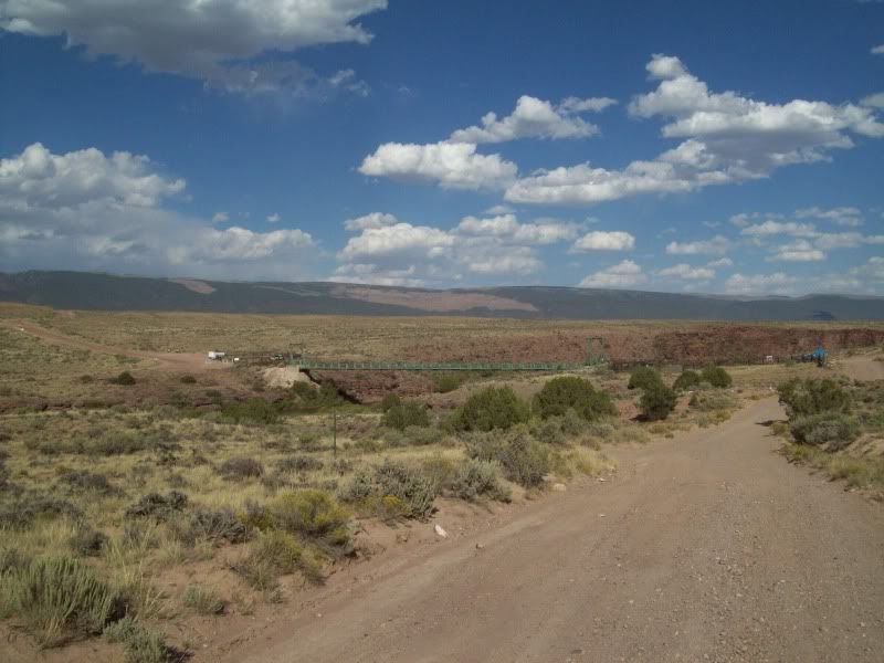
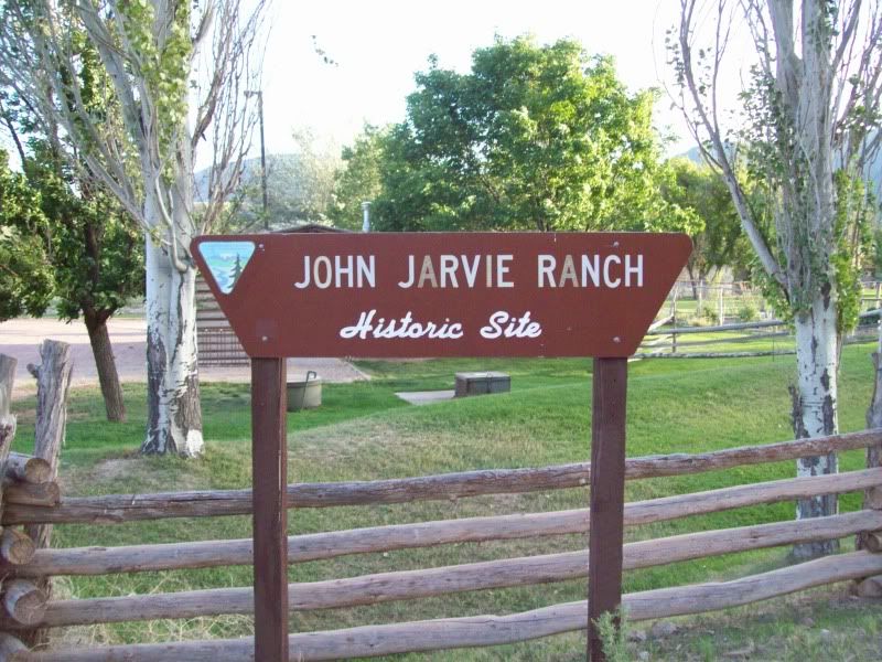
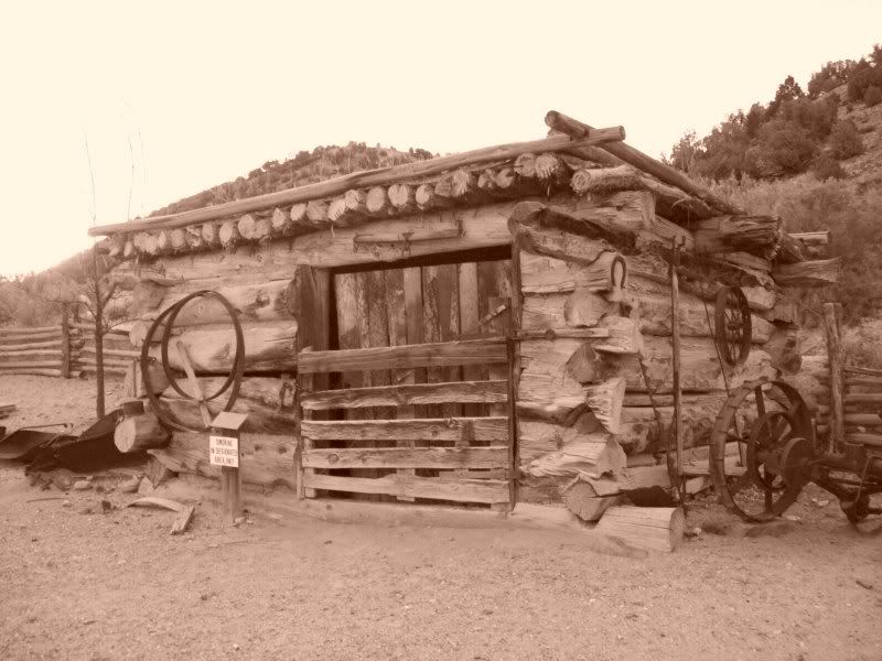
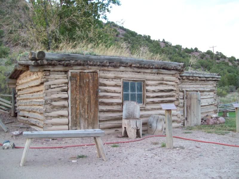
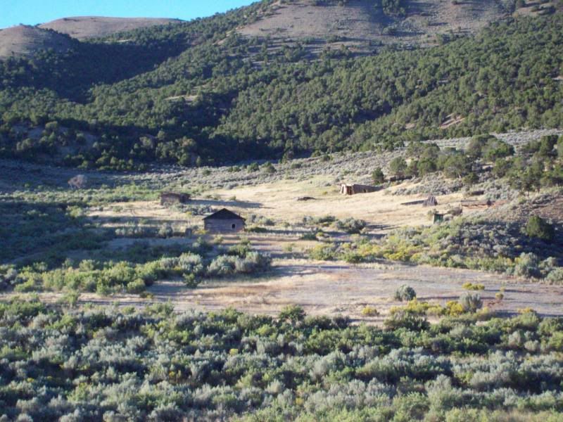
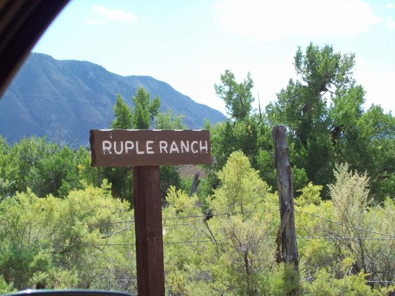
Ruple Ranch
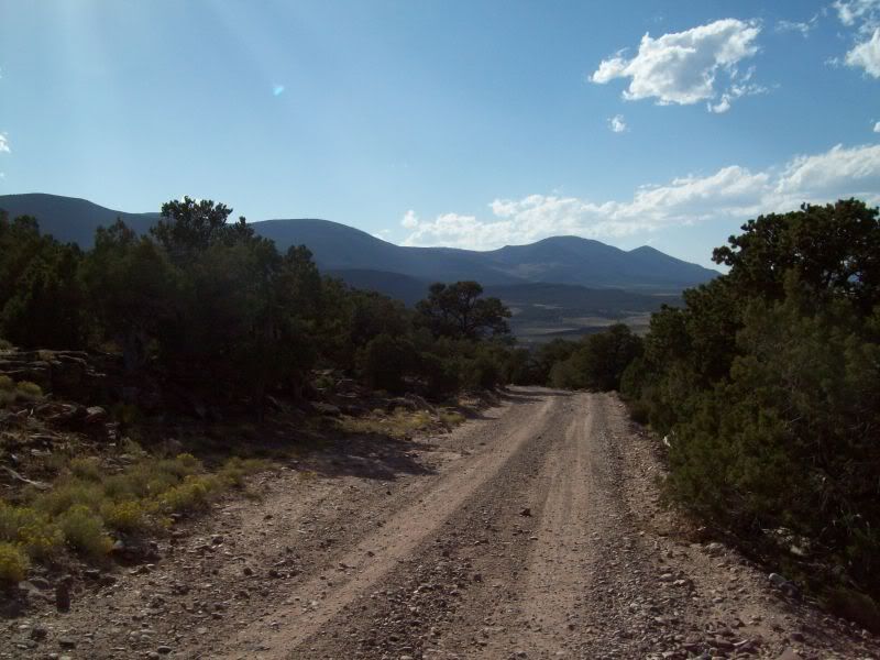
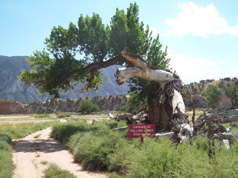
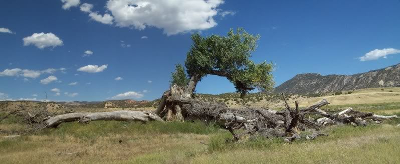
The huge tree that you must pass to continue on down the road
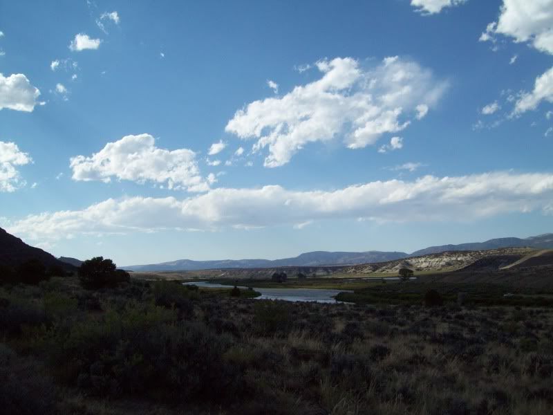
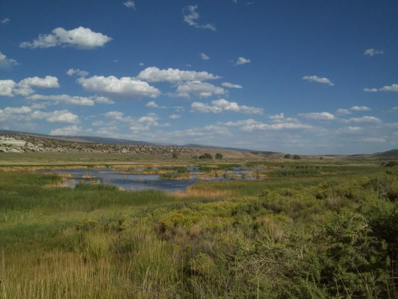
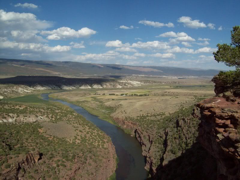
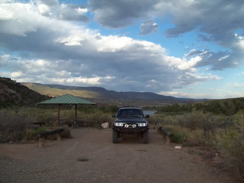
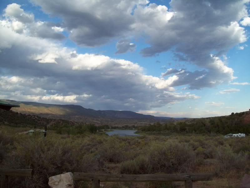
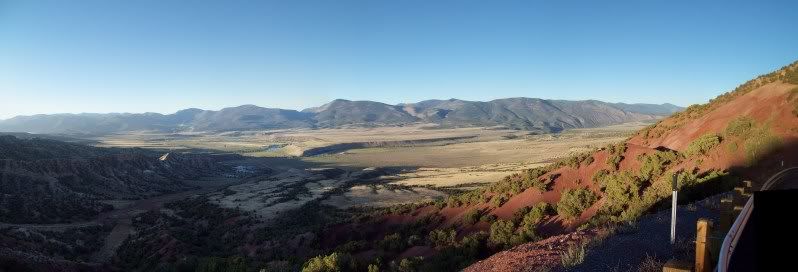
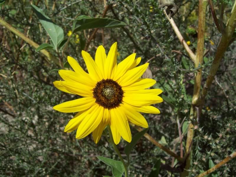
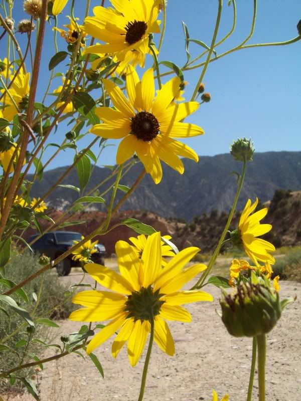
Down by the river
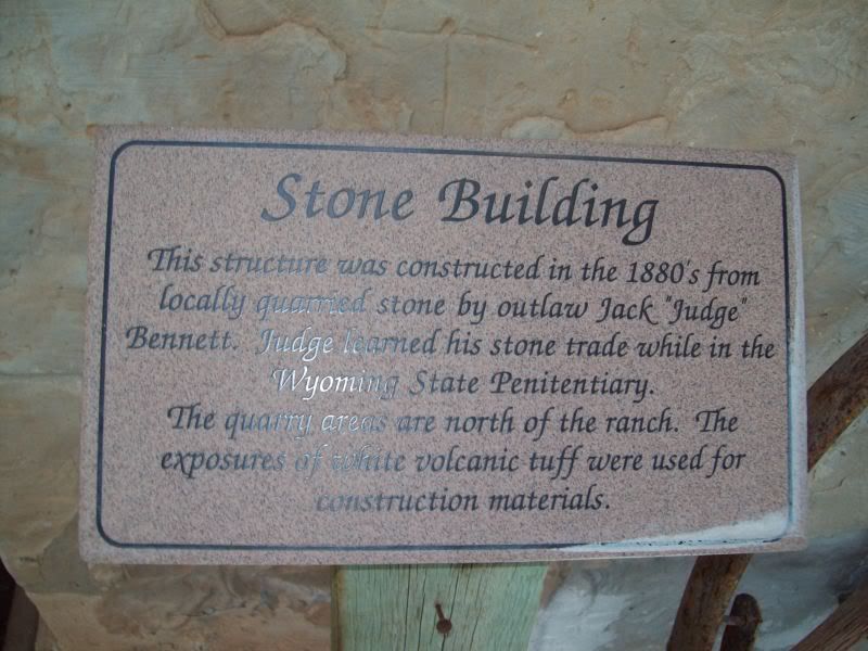
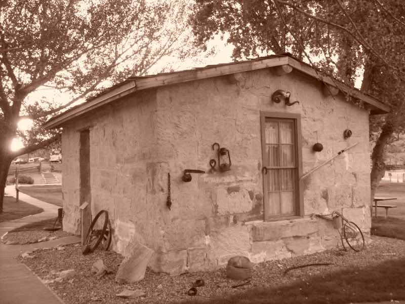
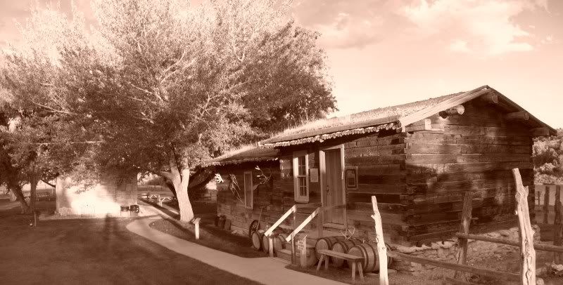
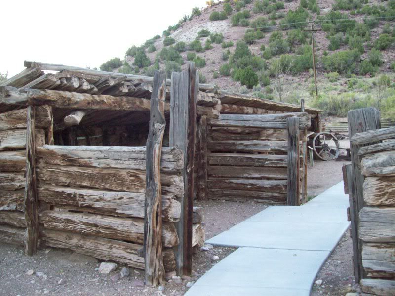
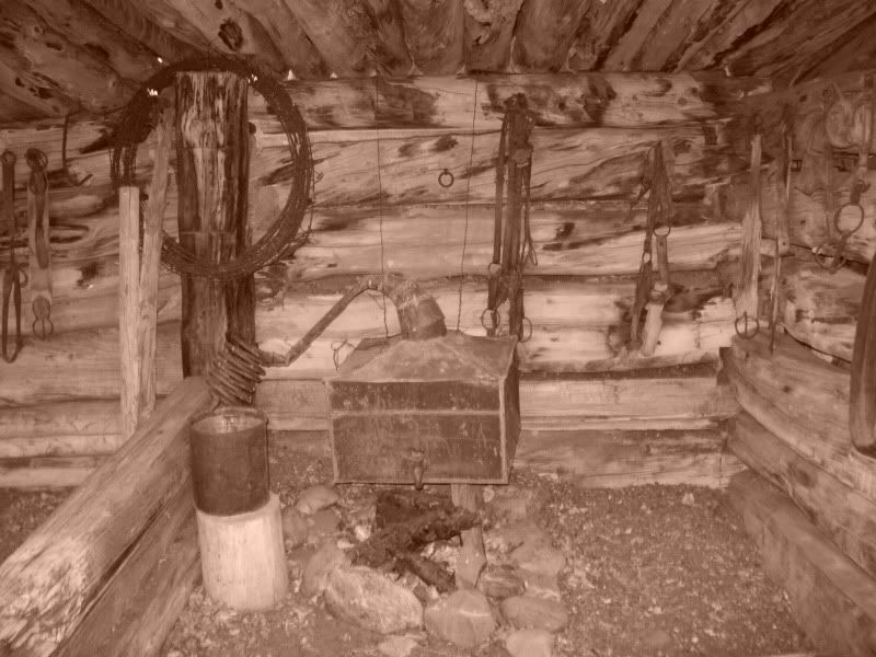
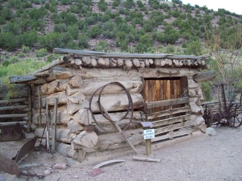
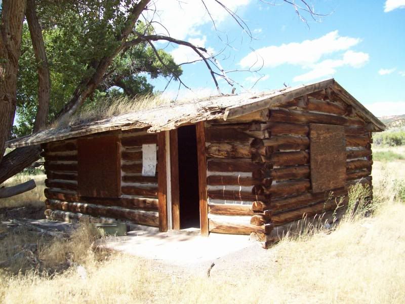
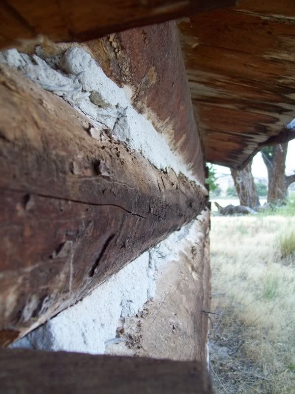
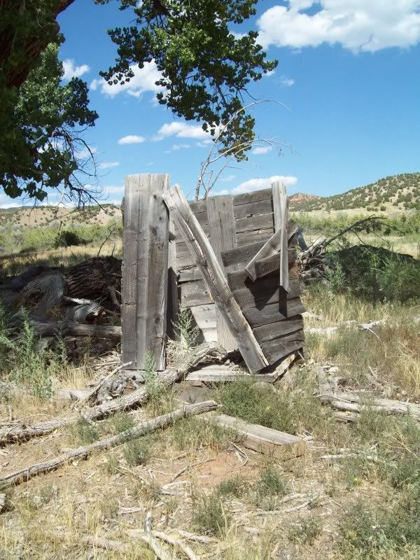
The one thing that I noticed was that there was no sign saying that you couldn't go up to the cabin to have a look around. Hopefully, I did no wrong here but I went ahead a took a look around.
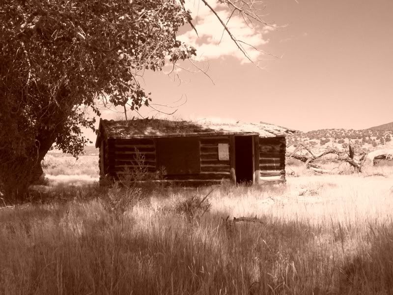
The huge tree that you must pass to continue on down the road
Down by the river
The one thing that I noticed was that there was no sign saying that you couldn't go up to the cabin to have a look around. Hopefully, I did no wrong here but I went ahead a took a look around.