Exploring Australia From The Left

luthj

Engineer In Residence
Another Attempt at a Long Hike


By Jen.


After Freycinet, we decided to hit up Maria Island. But, we decided that we must update our camping supplies before we did that. Last retirement in North America, we felt like we missed out on some really awesome sights because we didn’t have camping gear to go on overnight hikes. So, this time around, we made sure to have some basics. We received a lot on loan from a generous friend at work, but I was still missing a sleeping bag and we didn’t have a camp dining set. Plus, the sleeping pad I picked up from Amazon on a lightning Black Friday deal was terrible. Since Tasmania seems to have an abundance of these hikes, instead of heading directly to Maria Island, we headed towards Hobart to find an outdoor store. After visiting several shops to find exactly what we wanted, we were mostly set, and made our way back to Triabunna to catch the (person) ferry to Maria Island. However, the ferry people hadn’t responded to my email yet and so I tried calling them. To save money, I tried calling on wifi, but the connection wasn’t good enough. Irritated, I called by the cellular network, and was told to call back because they were on the line with someone else. After several minutes, I called back and was told to hold again, so I hung up. As you can imagine, by this point I was annoyed and stressed. At the next time, I called, she took my call, but told me the ferry was booked for the next day and I wouldn’t be able to get on until the day after next. With this delay and since arranging the trip to Maria Island was stressing me out, we decided to skip it and instead head to the Tasman Peninsula.


These cute birds were swarming the campground we were at in Richmond. So cute! It is a Pink Galah.
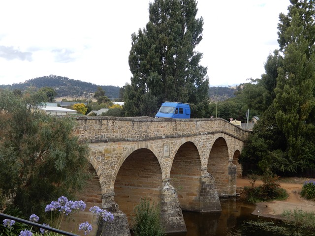


Oldest historic working bridge in Australia. Located in Richmond.


In the Tasman National Park, there is another multi-day hike to Cape Pillar, which is supposed to be really good. The most known route is a really cool Three Capes Experience walk that visits all 3 capes on the peninsula and includes a small ocean cruise, pickup from finish, and you get to stay in nice rooms every night. But, since we are cheapwads, we wanted to hike it for free. There is an option to do so. In theory, if you are really fit, you can do a 28km day trip, but I knew that was out of the question for me. The alternative is to use the Wughalee Falls campground and turn it into a 2 or 3 day overnight trip. We chose to make it a 3-day trip and do a circuit, returning by Cape Hauy. We hoped this time we could actually do the whole trip without turning back and not finishing. Fortunately, this 3-day hike is set up a bit more manageably, as your first day is only 7-8km with a pack. Then you can leave your pack with your tent at the camp, and make the trip to Cape Pillar (map says 14km, someone’s GPS showed 20km) without a pack and only light provisions. However, the last leg is a bit harder. We forgot to record the map and thought the last leg was a bit shorter, but it turns out that it is 17km (with a pack).


Fortescue Bay Beach.


It started off pretty well, but then I realized I had forgotten to tape my knee before we left. Not good, but nothing I could do about it until we camped that night. We arrived early in the day at the camp, feeling well, except for my knee, which was killing me, especially because the last 850m had been a torturous and slippery downhill (the steepest part of the whole walk). Downhills are especially hard on my knee, and without the tape, I was really struggling. We rested the rest of the day and met a nice couple that we talked to for a couple of hours. The next day, we successfully made it all the way to cape without too much pain or problems. But on the way back, the distance started wearing on me, especially on my feet this time. But, we made it back to camp with no problem. On the last leg, Jonathan wanted to return the way we came with a short 8km walk, but I (with my what’s-around-the-next-corner attitude) wanted to take the long way back and hit up Cape Hauy, as I didn’t think we would get around to it otherwise. As I mentioned though, we weren’t sure how long it was. After checking our internet history, all we knew was that it was less than 17km. We figured we go to the Three Capes hut and ask the ranger there about the track. But, when we arrived, the ranger had already left. Figuring that the cushy Three-Capes walkers could handle the walk, we decided to press on. However, it was a bit steeper than we expected, and longer. We did make it, but we decided to skip the spur that actually lead to the edge of the cape. I am calling it mostly a success!
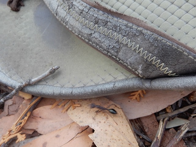


They have huge ants here!


Tasman Island off of Cape Pillar’s Blade.
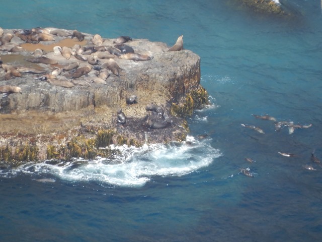

Seal Colony off of Tasman Island.


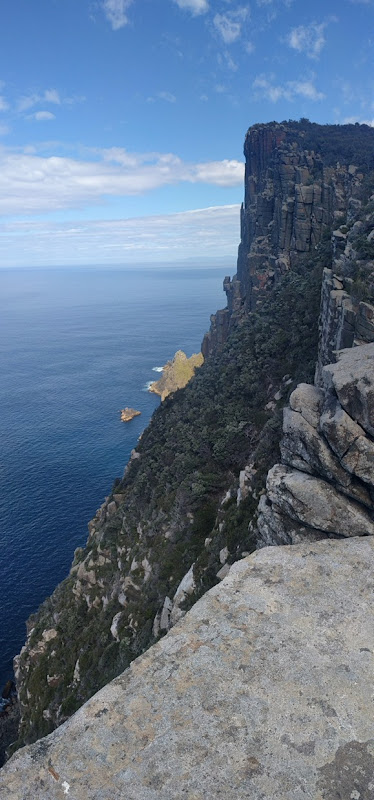
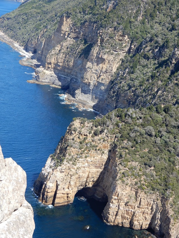
This cape has the tallest sea cliffs in the Southern Hemisphere. These are made of dolomite rock.


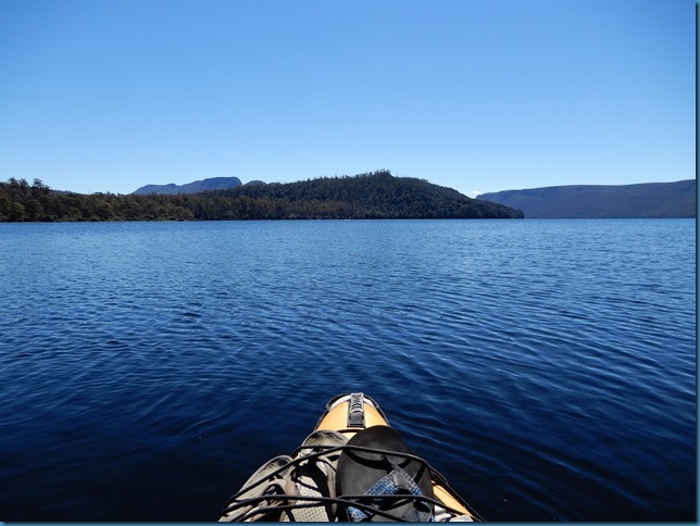
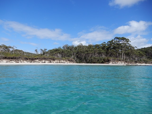
Next day, to “rest” before we left the campground, I wanted to go out on the kayak in the bay. It turned out to be a bit longer of kayak than I planned as well. In fact, I think we are accidentally developing an active lifestyle. We did about 40 km of walking/hiking in 3 days followed by 7kms of kayaking the next day. We still aren’t up to the level of most bushwalking Australians, though. Did we mention bushwalking (basically hiking) is a national pastime here, and they take it seriously. All their signs are posted for a brisk pace without stopping. We typically have to add an hour to any of the posted estimates. Anyways, after kayaking we made our way out of the peninsula, but not before stopping at the “unzoo” to see some Tasmanian devils!
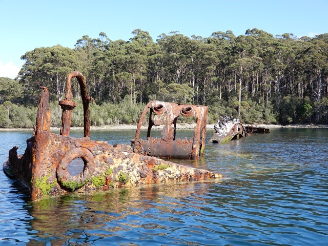


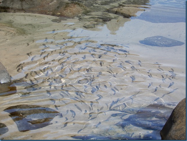
Sunk for fish.


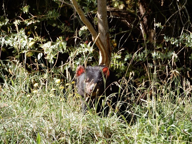
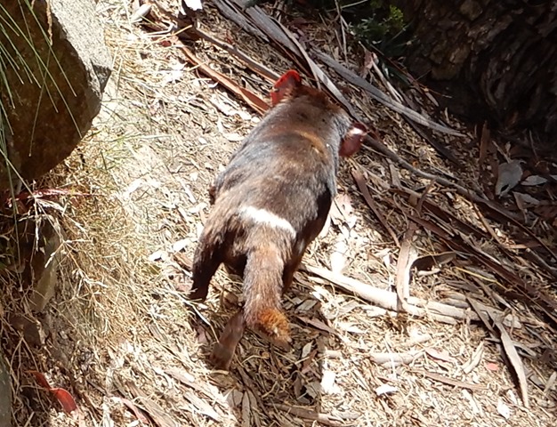
Tasmanian Devils. Apparently they are totally just scavengers, but eat the entire carcass, bone and everything!
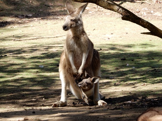


Joey action with some Forester Kangaroos at the Unzoo.
 

luthj

Engineer In Residence
Tasmania's South


After Our visit to the Tasman Peninsula we drove to Hobart for supplies/laundry/internet. While In Hobart we visited the Museum of Old and New Art (MONA). MONA is a world class museum with everything from classical paintings and early Japanese Art to modern pieces by contemporary Australian artists. Definitely worth a visit, just plan on taking half a day to explore it fully.

The directors parking spot should give you a rough idea of their management philosophy. They both drove Tesla electric cars.


After a brief visit to Hobart we drove back to the east coast to ferry to Bruny Island.


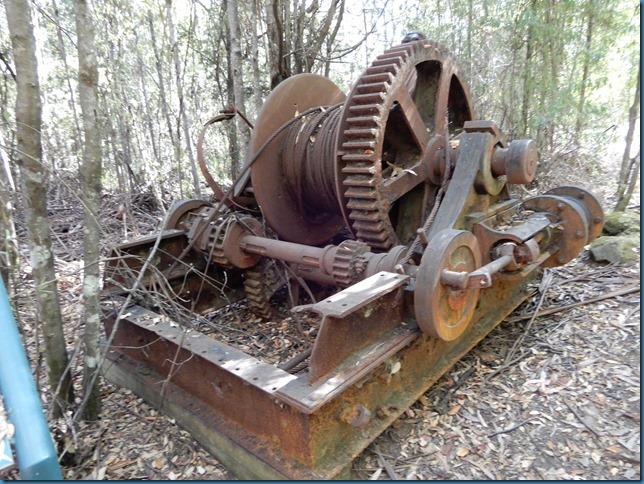
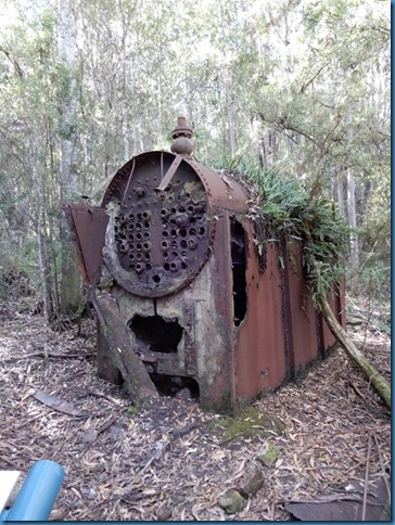
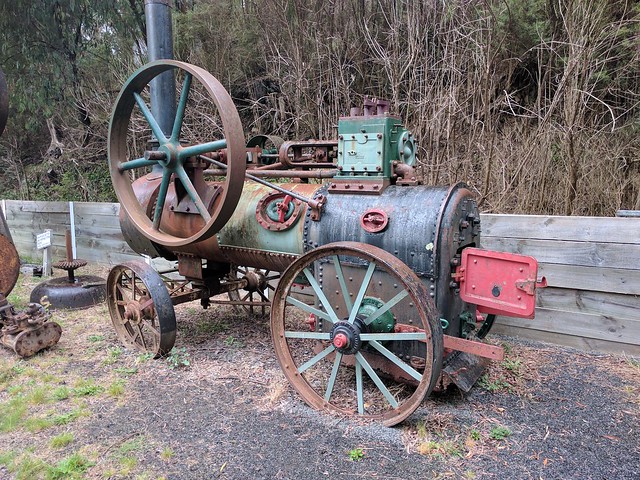
Here is some ruins of an abandoned logging camp. This was the winch used to pull huge trunks up the hill side for rough milling. The steam pistons made 14 horsepower! All the trees you see around the equipment have grown in the 40 years since the camp was closed. This mountain was logged for almost 100 years, the majority of its timber was used in boat constructions.


Here is the boiler.


After we returned from bruny we visited a local in the Huon valley. While we enjoyed the view from his balcony and uploaded photos, we also got to watch several wooden sailing vessels in the river. Very relaxing, I can see why people move here from the mainland.


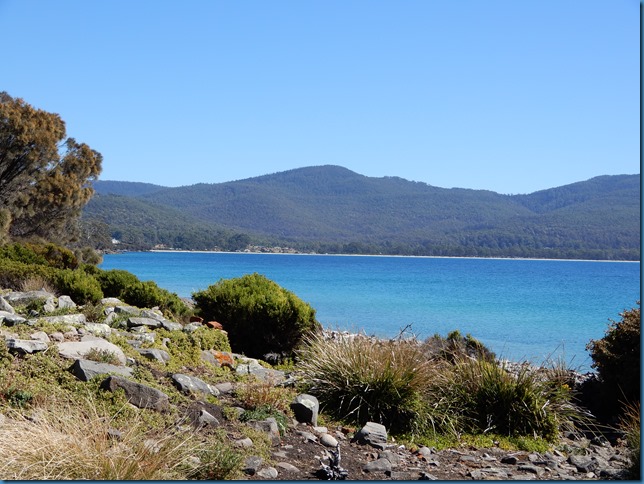
We continued south from the Huon valley to the southern coast. At the end of the road (literally), we left the van, and continued on foot. This is the southernmost point in Australia.


luthj

Engineer In Residence
From there we trekked south through the bush to the cape.


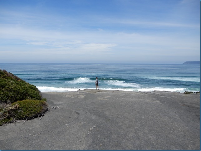
About 2,000 miles that way lies Antarctica. The surf was intense, as the waves born in the gales of the roaring 40s crashed against the beach. Often there were 6 or more rows of rolling breakers coming in simultaneously.


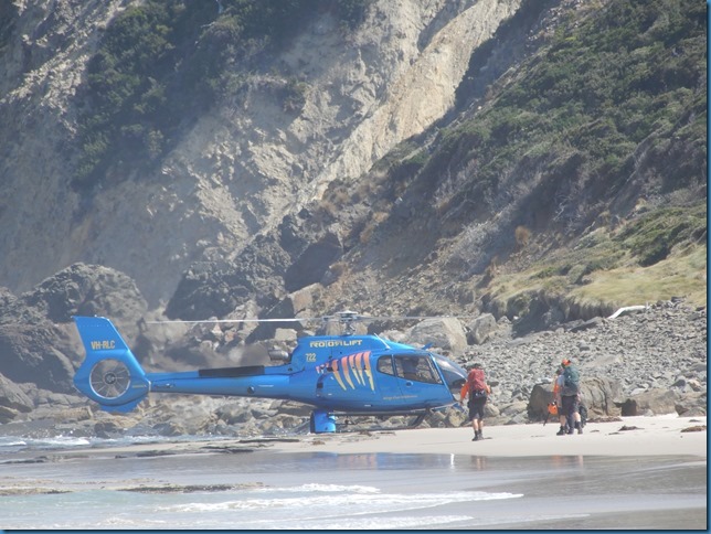
Some track workers has just finished replacing the long stair that lead to the campground here. Being so remote means that most track work in Australia is done with helicopters. Workers are airlifted in as well as materials. They live on the track until the work is done, then they are flown out.


Most of Tasmania’s southwest is a vast wilderness area accessible only by foot or air. The South Cape Bay you saw above is the endpoint of the southern coast track. Most people walking this 7 day track are flown into the start point, and walk their way out.
 

luthj

Engineer In Residence
West Tasmania


Departing the South Cape, we began our drive towards the most well known of Tasmania’s parks, St Clair, and Cradle Mountain. Despite the close proximity (they are the same park) these two locations are over 200km apart by road (taking over 2.5 hours). The only other path between them is the Overland track.


Upon vising St Clair, we noticed an opening in the Overland Track booking about a week ahead. After some discussion, we decided to book in for the hike. With the remaining time left in the day we went for a kayak in the beautiful lake St Clair. It was too late in the day to see any Platypus (they are best seen at dawn/dusk).


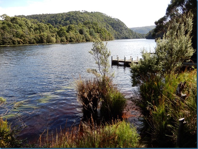
Given that we would be hiking the overland track, and thus seeing the park later on, we started driving northwest. After some reading, we decided to drive the western explorer road. This road links Stanley and Strahan. It is mostly dirt, and runs through towering rainforest and plains and crosses the Huon river.


On the way we explored the Henty Dunes which tower over 30 meters tall.


This little guy hitched a ride on the ferry “Fatman” across the river.


luthj

Engineer In Residence
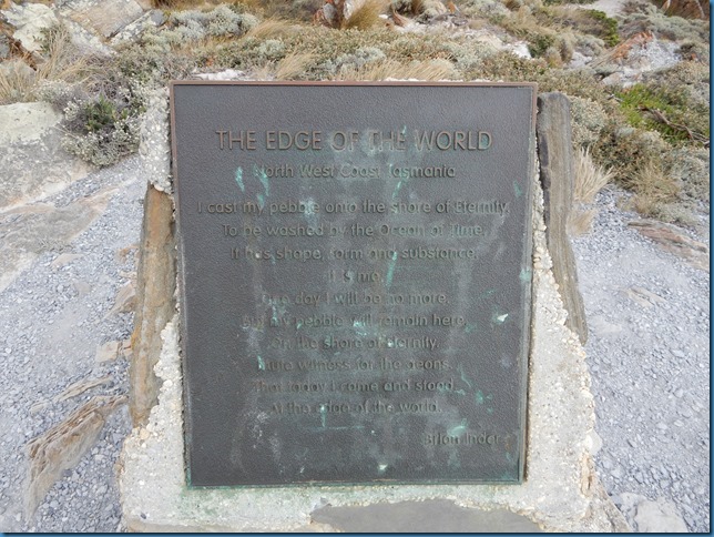
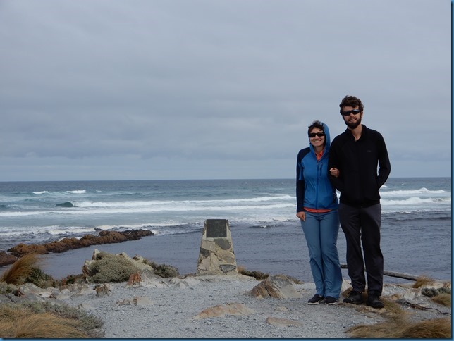
While driving this road we tool the opportunity to drive as far west as possible.

The monument here says:


“THE EDGE OF THE WORLD
I cast my pebble onto the shore of Eternity.
To be washed by the Ocean of time.
It has shape, form, and substance.
It is me.
One day I will be no more.
But my pebble will remain here.
On the shore of eternity.
Mute witness from the aeons.
That today I came and stood
At the edge of the world.


- Brian Inder –“


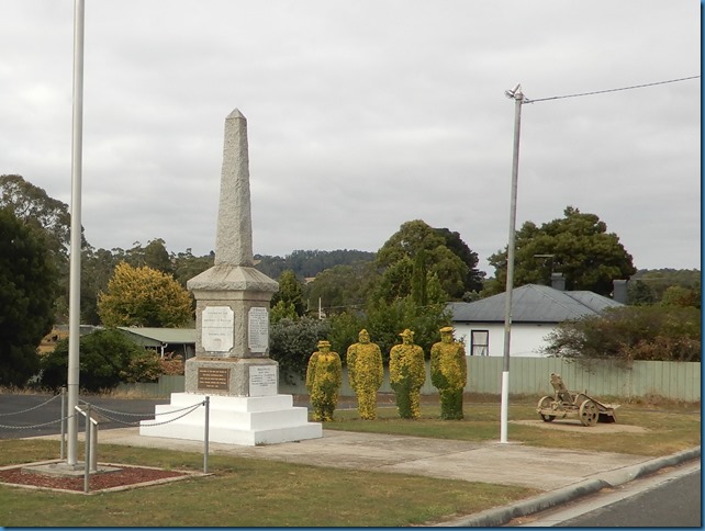
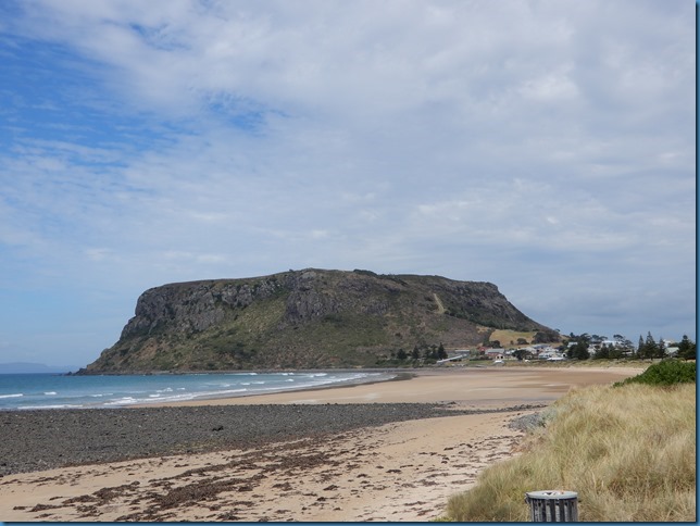
After finishing the explorer road, we visited Stanley (the nugget) and Railton.


One of the resident pademelons.


luthj

Engineer In Residence
The Overland Track


By Jen.

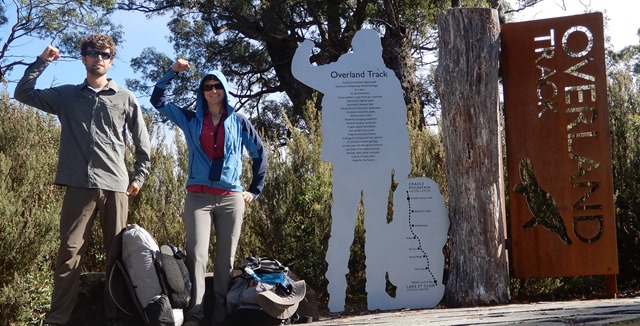
After visiting Lake St Clair National Park, I was inspired to go on the Overland Track. It had been on Jonathan’s list for a while, but he hadn’t been keen on spending the money required for the hike. With the distances we had recently walked, I figured I would be able to do it, even if I was in a bit of pain, so after some preparations, we booked the March 8th start date. Transportation to or from our vehicle was proving difficult to figure out, though. Apparently most people fly in and thus need transportation to/from Hobart or Launceston or Devonport, etc. The only shuttle or bus that got back to us quoted us $400 (as much as the cost of the hike). We could take the TassieLink public bus route, but it required us to overnight at Queenstown or Hobart, and would still cost as much as $130-$170 per person, not including the overnight accommodations. So, we looked at renting a car. This would be much cheaper for us, at $170 for 8 days, not including fuel or insurance. We planned on that until our friends that we met down here doing similar travels as us offered to give us a ride back to our vehicle and we could do the same for them. So, we took them up on the offer.

We went to Cradle Mountain the day before so we could get our passes and maps, etc. While we were waiting for 3pm (the earliest we could pick up our passes), we decided to do a few walks while we were there. We started at the Overland Track start point, then took the Lake Lilla Track to the Wombat Pool track, turning back at the rest area to head to the Dove Lake car park. It gave us a good warm up and a good idea of what to expect the next day. We gathered the information, found a nearby camping spot, and got a good night’s rest.


Someone had consistently removed the “l” from all the Wombat-Pool signs.


After finishing our final packing preparations, we were off to ride the shuttle to the start of the track. We didn’t get to the start point until 11 am, but we figured it was going to be alright, since they said the first day only took 4-6 hours to complete. The first day was a busy day, with many day hikers on the trails as well. But, once we got past Cradle Mountain, the tourists dwindled and the views got better.

Not sure what all to tell you about the Overland Track. It was gorgeous, like most of Tasmania, so most of the rest of the post will consist of pictures. Would I do it again? Absolutely! Did I enjoy every minute of it? Absolutely not. Backpacking is an interesting pastime. It is like your full-time job (most days we left camp at 9:30am and arrived at the next hut at 4pm) is walking. With a heavy pack (we estimated 30 lbs or 14 kg). It is all you do all day long. Your payment is beautiful views. The result is often blisters and sore muscles, though. Obviously I like it, and keep doing it, but it is definitely not a walk in the clouds. It might be considered a bed of roses. Beautiful, but soft any poky and scratchy all at the same time. As another positive, no leeches or ticks! And, on the last day, we actually beat the estimated time by 30 minutes! It said 3-4 hours, and we did it in 2.5 hours! But, to be fair, we were really hoofing it. We wanted to be there for the first ferry ride of the day and we walked as fast as we could. Plus, our bags were much lighter by the end, having consumed most of our food. I considered ourselves officially initiated as bushwalkers. Not only did we complete the entire hike, we also did many of the optional side trips, including Lake Will, Mt Pelion East, and Fergusson Falls. Totalling 68.9 kms (42.8 miles) in 6 days.


Mile Zero.


This currawong was eyeing my lunch.


Dusk at Lake Windermere.
 

luthj

Engineer In Residence


DSCN1532_thumb.jpg


A mouse ate 3 of our granola bars while we climbed Mt Pelion East! Notice its scat and the hole it crawled out from on the ground.


Fergusson Falls.


https://lh3.googleusercontent.com/-...g/q2snFTS5ksE/s1600-h/DSCN1596%255B3%255D.jpg We made it!
 

luthj

Engineer In Residence
Tasmania by the Numbers

The day after our long Overland-Track hike, we went up to Devonport to resupply and do some laundry. Our goal was also to be close to the city so we could catch the ferry as soon as a slot opened up. We expected to have to wait up to a week for a slot to open up; but as it happened, a spot opened up that day, so we washed the van and loaded it on the ferry for an overnight trip (by the way, the recliners aren’t very comfy).


Places we have been in Tasmania. Sadly, most of the west coast was left off since we had poor cell reception there.


Here are some interesting statistics from our journey on Australia’s island state.

  • Time
    • Day entered: 29-Jan-2017
    • Day left: 14-Mar-2017
    • Total # of days: 45
      • Nights slept in van: 35
      • Nights slept in tent: 9
      • Nights slept in hotel/etc.: 1 night spent in the Bass Strait on the ferry on the way back to mainland Australia
  • Distance
    • Driven: ~3,913 km (~2,446 miles)
    • Hiked: 187.8 km (117.4 miles)
      • Ben Lomond Summit - 2.8 km (1.75 miles) [1 day]
      • Cataract Gorge - 3.2 km (2 miles) [1 day]
      • Mt. William Summit - 4 km (2.5 miles) [1 day]
      • Douglas-Apsley Gorge – 8 km (5 miles) [1 day]
      • St. Patrick’s Head – 5 km (3.1 miles) [1 day]
      • Freycinet - Cooks Beach – 24 km (15 miles) [2 days]
      • Freycinet - Wineglass Bay – 10 km (6.25 miles) [2 days]
      • Cape Pillar Circuit – 40 km (25 miles) [3 days]
      • Bruny - Fluted Cape - 4.5 km (2.8 miles) [1 day]
      • South Cape Bay - 17.4 km (10.9 miles) [1 day]
      • Overland Track - 68.9 km (43 miles) [6 days]
    • Fuel fill-ups: 5
    • Total fuel: 455.29 liters (120.3 gallons)
  • Money
    • Total spent: $3340 USD ($4360 AUD)
      • Consists of the costs of traveling full time in Tasmania, including ferries
      • Does not include gear or van accessories
    • Average cost per day: $74.22 USD ($96.89 AUD)
    • Average cost of diesel: $1.369 AUD per liter ($3.990 USD per gallon)
  • National Parks visited: 9
    • Ben Lomond
    • Mt William
    • Freycinet
    • Douglas-Apsley
    • Tasman
    • South Bruny
    • Southwest
    • St. Clair
    • Cradle Mountain

Interesting observations about Tasmania:

  • At stores, they do not “give” you plastic bags. You either buy plastic bags from them, or you bring your own.
  • The people who reside in Tasmania are called Taswegians. (How bizarre is that?) Apparently they didn’t want to be confused with the adjective (Tasman) or the island’s namesake.
  • In total, the Tasmania Parks and Wildlife Services manages over 42% (2.9 million hectares) of the land area of the state.
  • The roads in the state are mostly rather “topsy-turvy.” Besides meandering through the country-side in anything but a straight line, the roads are not level and send taller vehicles pitching and yawing like on the ocean. Additionally, they often don’t have lines, and almost always don’t have shoulders. As a plus, unless it is a gravel road, you don’t have to worry about potholes too often.
  • Their roads are easily classified by using the alphabet plus a road number. For example, A3 is primary highway, while C843 is a tertiary road. Most often, the higher up the alphabet, the better the road.
  • Originally a penal colony, it is home to the second oldest settlement in Australia.
  • First explored by the French and Dutch, many of the islands features were named by them (Freycinet for example).
  • Taswegians avoid driving what many of us consider short distances. I guess when the longest drive one can take is 4 hours or so, a 20-minute morning commute seems ridiculous?
  • While we were there, RVing and camping was very popular. There were but 2 locations where we were able to camp out of sight of others and feel deserted enough to take outdoor showers. Most free camps (and pay camps) were filled with other travelers and locals.
 

luthj

Engineer In Residence
Tweaks


By Jen.


During every long journey for us, we hit two points: [*]Scenic Overload – the point where we have seen so many beautiful sights that it has to be pretty special to impress us.Need to Change the Van – the point when the van, despite all its wonderful aspects starts to wear on us because it needs some modifications (Us being mostly Jen).


After about a month of traveling in Tassie, we hit both of those points nearly simultaneously. At that point, it became how quickly can we knock of the items on our list so we can get back to Melbourne to fix the van. Don’t get me wrong. We always enjoy seeing beautiful sights, but at some point, instead of becoming a highlight of a trip, it is more just an item to check off a list. AND, to take a picture of so that you can reminisce of all the wonderful places you have been when you have to work to earn money again. We also love the van. It fits us so much better than Chuck did. However, since it is the first time anyone has ever accomplished this particular configuration (as in, we made our own designs), there were still some tweaks to work out. However, those tweaks were wearing on us while we were getting to a stop where we could fix them.


So, after Tassie, we spent a week holed up in a suburb of Melbourne, making those tweaks. When you see what we did, you will think that they were rather minor items and what was our problem, but taken all together in the small space of the van, it makes a big difference. Here is what we accomplished:

Squeaks High-pitched, squealing brakes, seats squeaking
Rear-door squeak -It didn’t take long after we started traveling again that our squeak mitigation didn’t work and had to see what we could do again.

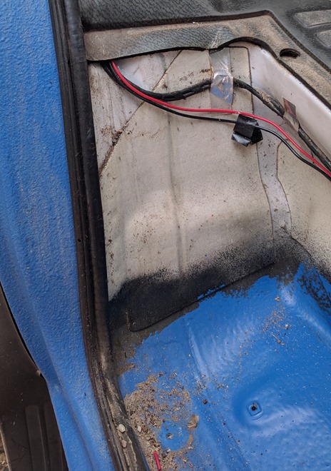
Ant Invasion – While Jonathan was working on the brakes, he discovered the nest of the ants that we had just started seeing the day we got off the ferry. Apparently we picked up a whole colony of stowaways while we were on the Overland Track. They decided to make the sill (basically a long channel that is built into the underbody of the van) on both sides of the van their home. There were thousands of them! We ended up using a pressure washer to evacuate them and spraying insecticide just to be sure.


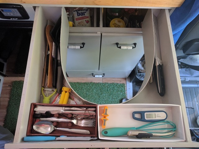
Storage Organization - We had several undefined storage areas, so to avoid the clutter and having to pull everything out to get to the item we needed, we added some storage pockets

Storage Pockets

IMG_20170318_160609_thumb1.jpg


IMG_20170320_152745_thumb1.jpg


Sewn on this classic machine (I don’t even know if I have it threaded correctly):


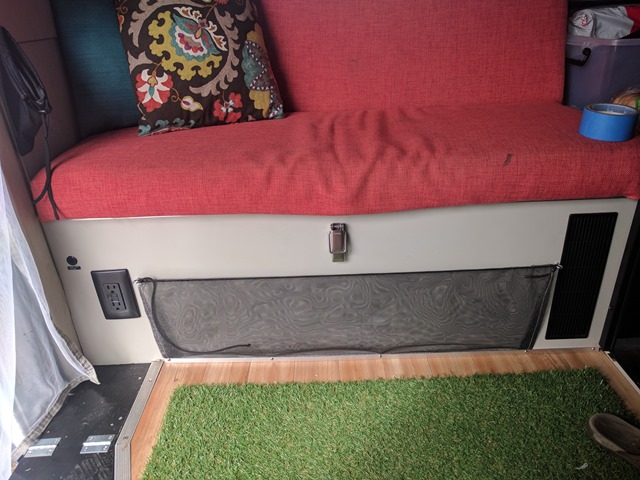
Bench Seat Lid Protection – To keep things in the upper storage area from falling into the lower storage area.Containers Before


After:


In the sink:

In the fridge:


Vertical-Cabinet-Shelf Retention Lip – The vertical cabinet storage was overall working really well, but the containers kept sliding inboard and getting their feet stuck over the edge of the shelf, making one of the doors difficult to open. To prevent that, we added a lip to each shelf.
 

luthj

Engineer In Residence


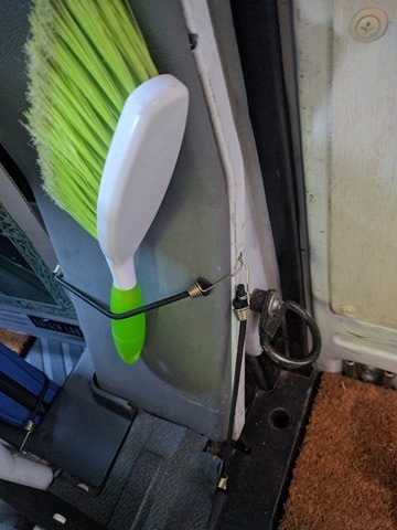
Storage Bungees

IMG_20170329_124409_thumb2.jpg


Purse-Bin Division


  • Maintenance
  • Oil Change – Rather than doing an oil change on the road at 10,000 miles, we did one at 8500 miles at a friend’s garage.
  • Brakes – Jonathan replaced the rear pads and checked the wear on all components.
  • Repairs
  • Awning – The awning kept making weird noises and really did not like to be extended. Jonathan pulled apart the drive unit and found that the gear-reduction unit was seized. Simple enough fix using some grease and a hammer.
  • EGT gauge – In Tassie, we bounced enough that some solder points came loose on our EGT gauge, so Jonathan had to fix that.
  • Inverter Fan – Wasn’t working properly (didn’t turn on at the right temp), so it got adjusted.Water Pump - Cut-out and bypass pressure were off, so it cycled rapidly sometimes. Fixed with a 5/64” allen wrench.
  • Non-Slip Liner – In Tassie, Jonathan kept recommending we get a high-nap rug to better catch the debris from our feet. The original rug that I had kept showing the dirt and debris and I guess he didn’t like how often we had to clean it. So, instead, we picked up some astroturf. It worked great, except that it did not have a non-slip backing. We rectified that this time as well.


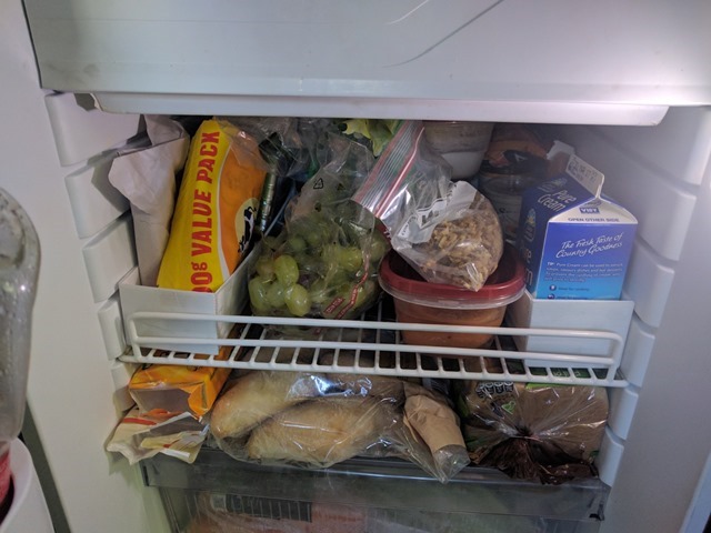
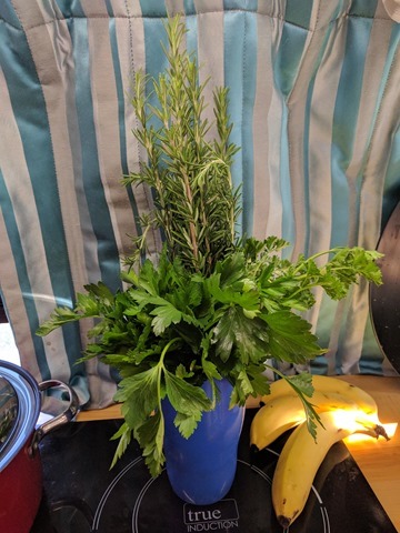
While we were there, some generous friends gave to us some of the produce from their extensive gardens. We have been trying to figure out ways to eat them. Let’s just say that I am becoming an expert at stovetop apple crisp and have learned how to cook quince.


Visitors
 

luthj

Engineer In Residence
Gippsland Treasures

By Jen.

It is tax season again, and since we worked last year, we actually have to file taxes. So, we had relatives mail us our W-2s and other tax documents that weren’t available online (such outdated procedures!). While we were waiting on our tax documents to arrive, we decided to explore more of Victoria. Since we had decided to do “The Lap” of Australia in the clockwise direction where we would be heading west first, we instead went to the east. Wilsons Promontory and the Great Alpine Road beckoned to us and we answered.


First stop was Wilsons Promontory. This national park that is only a couple of hours southeast of Melbourne is a popular place. If I had to sum it up, it is like a taste of Tassie, but on the mainland. So, we really didn’t feel like sticking around too long there. We climbed up Mt Oberon and called it good. We might have stayed longer in the area, but we didn’t feel like paying $60 per night to camp in the park and it was a bit too long of a drive in and out of the park to justify it, especially since we had already seen very similar things in Tassie. Plus, the number of people were astonishing, especially compared to Tassie.


View from the summit.


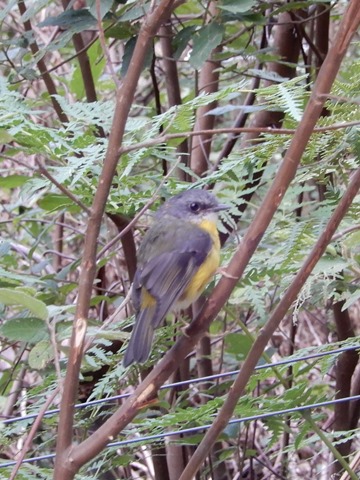
Small bird that was flitting along the trail.


Next stop was Ninety Mile Beach. Yes, literally about 90 miles of unbroken, wave-tossed beach. Great for surfers.


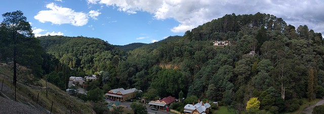
Then for a break from the coastline, we went up to Walhalla, an historic town that was home to a gold mine up through the early 1900s. It is a cute, sepia-colored town that is also home to a steam-powered train and decent walking trails.


Local bird (this is the female).


This is all that remains of the burned bank—its vault that used to house the gold!


A close-up of the sign on the vault! That is a lot of gold/money!


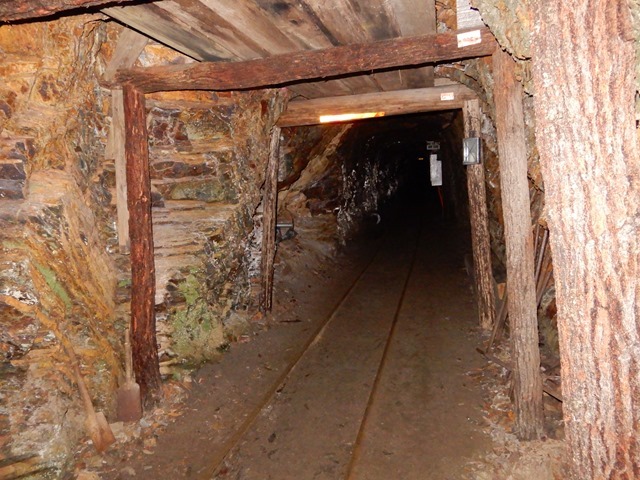
The gold mine.


luthj

Engineer In Residence
The Great Alpine Road

By Jen.

Besides the Great Ocean Road (next on the list after we get our mail back), Victoria also has the Great Alpine Road. Recommended as a road trip, we thought ought to check it out. It was a welcome relief to the heat and you could tell that autumn was just around the corner there.

The road passes through the Alpine National Park, which protects the Australian Alps mountain ranges. Not knowing much about the park (Victoria doesn’t seem to have very good information posted online or on the roads), we just drove through the park and stopped at things that seemed interesting. First stop was Black Duck Hole. I think I managed to pick the hardest short walk in the park. It was a steep walk that wouldn’t have been so bad, except that the gravel kept making you slide. You had to be very careful with each step. The riverbend was very welcoming after the warm hike, though.


[/i]


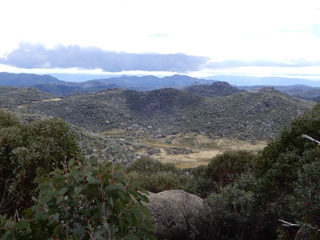
The next day, we found Mount Cope. With the clouds amongst the mountains, we thought it might be an interesting hike as well. It was sufficiently rewarding with views.


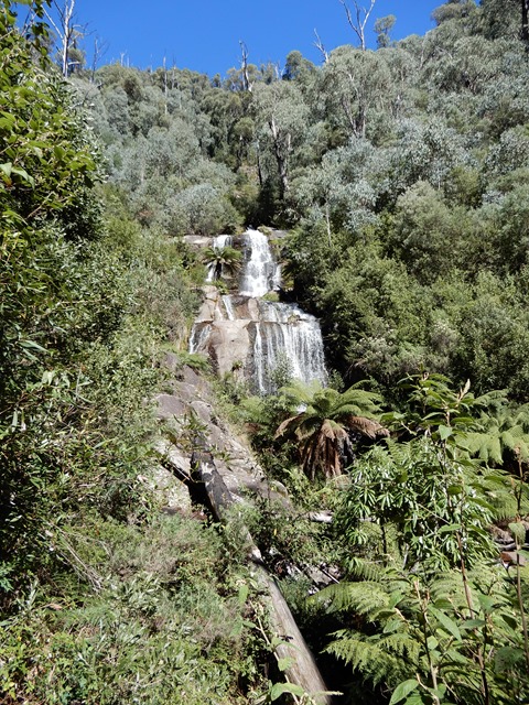
We also walked up the short trail to Fainter Falls.


At this time, my phone started randomly rebooting and getting caught in the boot cycle. If I kept it cold (stuck it in the freezer), I could get it to finish the boot cycle and actually start up, but it was a goner. So, I backed up my photos and everything else I could and requested warranty support. Unfortunately, that means shipping my phone back to the States and then getting my new phone sent back to me after I ship them mine. So, I will mostly likely be without a phone for a month or 2. After spending a day sorting that out, we kept going.

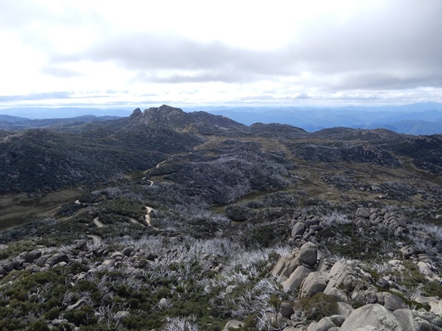
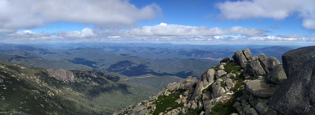
We really enjoyed our visit to Mount Buffalo National Park. We, of course, went straight to the top first (Horn Summit Lookout).


"May your trails be crooked, winding, lonesome, dangerous, leading to the most amazing view. May your mountains rise into and above the clouds..." -Edward Abbey


luthj

Engineer In Residence


Lyrebird Plain.[/i]


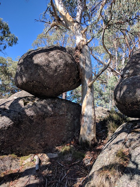
The park here has really fun boulders. I think I enjoyed the Old Galleries walk the most, with its maze of large rocks.


I think this might be one of the most poisonous snakes in Victoria.


To finish the Great Alpine Road trip, we made a few urban stops. First to Beechworth to view the old buildings; then to Milawa for their cheese factory and to have a pizza made with their cheeses!


The courthouse is famous for its trial of Ned Kelly (the equivalent of the States’ Billy the Kid).


Check out these old advertisements![/i]
 

luthj

Engineer In Residence
The Great Ocean Road, Part 1


We are back on the road, slowly chipping away at the miles between us the Perth (biggest City on the west coast). Per our standard operating procedure, we are taking a very indirect route. The first part of this drive is via the Great Ocean Road. Built along the rugged southern coast of Victoria, this road connected coastal towns and light stations extending west from Melbourne. It is a scenic road, and popular with tourists and locals alike.


At the start of the trip, we drove through a variety of seaside towns. Most with some interesting attraction or two. Here is Bells Beach's Addis Point (the surf film Point Break was filmed in part here). Every year Bells Beach hosts the Rip Curl Surf Competition. They were setting up the stands as we watched. According to the internet, this region is the core of Aussie surf culture.


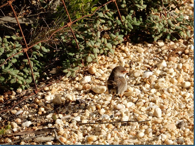
Of course along the way, the wildlife loves to pose for us (especially the birds?). This little guy is only about 3.5” long.


This coastline has a long history with European settlers. Hundreds of ships have wrecked along it. To combat this Light Stations were built starting in the mid 1800s. Many of them survive to this day.


Just another stretch of beautiful wave-smashed coastline.


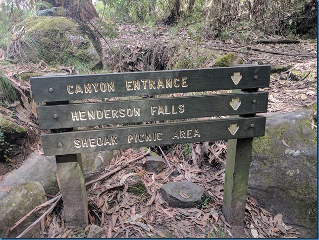
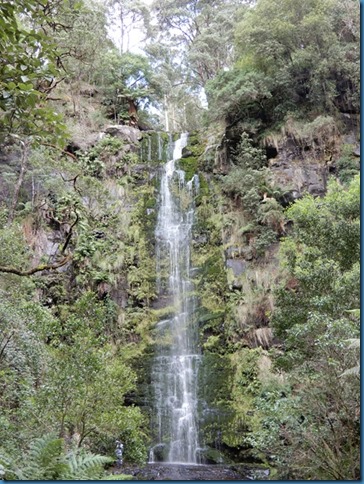
Some towns like Lorne, have great walking, and relaxed vacation atmospheres. We did several walks here to view the wildlife, and several waterfalls.


There is also a 30ft deep canyon in the middle of the forest. With sheer rock walls, its definitely a change from the open air of the Great Ocean Road.


Once more, the birds posing for us.


This is a continuing theme.


Forum statistics

Threads
188,213
Messages
2,903,868
Members
229,665
Latest member
SANelson
Top