Floridians do Utah (a traverse plus some other stuff)

40tude

Adventurer
Day 14 June 26, 2012

Isn't it weird when you wake up thinking that you wish you had been sleeping in the back of your dirty car?

Luckily the truck started up off the second battery again, I still don't know why it didn't the other time. I drove right across the street to O'Reilly Auto Parts. The guy there tested the battery, and confirmed that it was shot. They did not carry any AGM batteries in the right size. I was also not in a great mood about having to spend $200 plus on another battery. I decided to call Sears and see if I could get them to cover it under warranty (I was not the original purchaser, nor did I have the receipt). The guy on the phone said he could fully cover it and give me another for free. Here is the kicker though, the closest Sears was in Grand Junction, CO. (OUCH! I still haven't looked to see if there had been one in Durango, just for the sake of my sanity.)

We (probably I) decided we should drive up to Grand Junction, rather than buying a battery in town. (In hindsight we both agreed as to the stupidity of this decision.)
A few hours later we ended up in Grand Junction.
IMG_5891.jpeg

In a ridiculous process that took several hours, I had a new battery and was charged $45 dollars for it (erroneous fees). This did afford me the time of tasting the delicacies of the Grand Junction mall. I ordered a chicken burrito (expecting the usual) but what I was served contained fried chicken, tater tots, and ranch dressing. (salt in the wounds)
IMG_5902.jpeg

After all of this I was in a fairly glum mood, and we decided to just finish out our trip in Colorado (yes, we should have just gone back to Utah, or bought a battery in Moab in the first place).

We first went to the Colorado National Monument, which is right outside of Durango.
IMG_5910.jpeg

Next up was Black Canyon of the Gunnison National Park.
IMG_5922.jpeg

We went to the North Rim, which was very cool, and pretty remote compared to the South Rim. We stayed the night at the campsite inside the park. This was the first National Park we had actually stayed in.
IMG_5926.jpeg

IMG_5930.jpeg

It was a fairly nice campsite, but we both missed the seclusion we had gotten used to. We went to sleep hoping of better tommorrows (which were certainly ahead).
13.jpg
 

jessejman

Adventurer
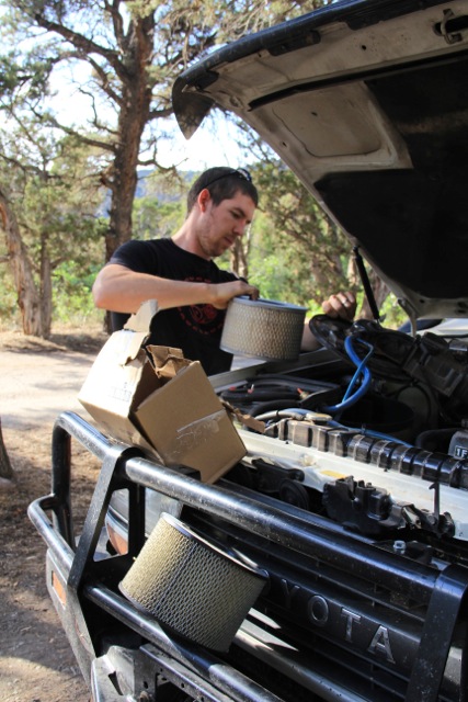
Man, our paths crossed and crossed again. How dirty was your filter and how many miles on it? I cleaned mine often but didn't do the little catch pan until Oregon. When I finally emptied it out it was full of dead bugs and seeds. The snorkel brings in cleaner air but it also brings in those little suckers like crazy.

Thoroughly enjoying seeing your trip and observations. Keep posting!
 

40tude

Adventurer
Man, our paths crossed and crossed again. How dirty was your filter and how many miles on it? I cleaned mine often but didn't do the little catch pan until Oregon. When I finally emptied it out it was full of dead bugs and seeds. The snorkel brings in cleaner air but it also brings in those little suckers like crazy.

Thoroughly enjoying seeing your trip and observations. Keep posting!

The filter was not as dirty as I had expected...if I did not have the snorkel I think it would have been much worse. I really think turning the snorkel head around backwards cuts down on all the bugs etc. getting sucked in too.
Thanks
 

40tude

Adventurer
Day 15 June 27, 2012

The day started with a quick breakfast, and then a short hike (and/or skip) down the North Vista trail, in Black Canyon NP.
IMG_5933.jpeg

IMG_5997.jpeg

It was a very nice little hike and provided me with many tingling sensations when getting too close to the huge drop offs on the cliff ledges.(All while Mrs. 40tude is getting right on all the edges and dangling her feet off the side. Exclamation Point was an appropriate name.
IMG_6043.jpeg

IMG_6041.jpeg

After a quick lunch (we practice eating often) we went to the other lookouts along the road.
IMG_6095.jpeg

We had picked up a book in Durango with 4wd roads and trails, and after some flipping through I had made a little route. We would head over through Gunnison and then get onto the Summitville Ghost Town Trail, which would lead us fairly near to the Great Sand Dunes National Park.

First though we needed fuel, and this was the last station for 80 miles. Someone, was in heaven, a Sinclair dinosaur, powdered donuts, and root beer.
IMG_6111.jpeg

Several hours later, we made it to the Summitville trail (yes we ate some more things along the way, as well as going through a small hail storm). As soon as the trail started there were signs everywhere warning of trucks on the road (wonderful). There was also this entertaining sign.
IMG_6134.jpeg

Upon arriving at the ghost town, it was apparent what all the warning signs were about. They were building a water treatment facility high up in the mountains, and right in the middle of the old town. It would have been really fun to poke around and check out the old buildings etc., but there were construction trailers and the crew blocking everything. Oh well, onward!
IMG_6141.jpeg

IMG_6143.jpeg

IMG_6146.jpeg

We were now chasing daylight again and looking for a campsite, which was harder than expected. We did chance upon some deer and elk along with gorgeous views in the meantime.
IMG_6155.jpeg

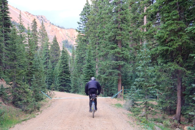
I also encountered my first elitist biker, this guy would not move to the side to let us pass for 2 miles. I would be too worried about getting shot to pull a stunt like this.
IMG_6160.jpeg

We did finally find a nice little campsite along a river, and took a cold shower in the dark, at this elevation it was a bit nippy. Nothing a wool blanket wouldn't cure.
IMG_6161.jpeg

14.jpg
 

40tude

Adventurer
Day 16 June 28, 2012

Oh the comforts of home.
IMG_6164.jpeg

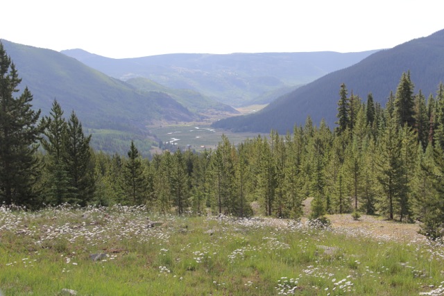
After the morning chores, we packed it up, and continued the rest of the way south on the Summitville Ghost Town Trail. We had the beautiful alpine views of Colorado all around us.
IMG_6180.jpeg

The last ¼ or so of the trail wound along the edge of the Conejos River, it was beautiful and judging from all the fisherman, it had quite a few trout.

Not too long after the end of the trail, we made it to Great Sand Dunes National Park.
IMG_6196.jpeg

We started off at the visitors center, where this sign was displayed.
IMG_6192.jpeg

I asked one of the rangers about the hikes, and also about the condition of the Medano Pass Primitive Road. He really wanted to scare me off of it. He said everyone gets stuck, and that it was essential to air down my tires. He told me that there was a compressor at this (south) end of the trail. (We were headed North, so this was not helpful.) He then inquired as to the make of my vehicle. I told him (with great pride) that it was a Land Cruiser, he seemed to think this would not cut it and told me that I would get stuck (fool!)

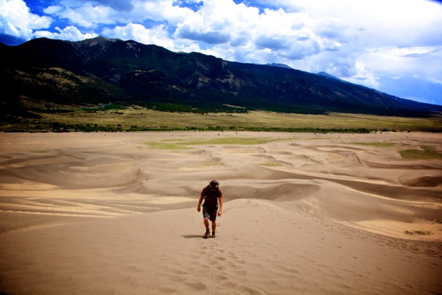
Before tackling the trail we decided to hike to the top of High Dune (the highest dune in the park).
IMG_6217.jpeg

I suggest dieting and/or wearing snowshoes. Mrs. 40tude did better than I, with every step forward up the dune I would sink/slide backwards 6 inches, the going was slow and a storm was blowing in.
IMG_6219.jpeg

After about an hour of hiking we were nearly at the summit, when the wind became too much. It felt like we were in mother natures sand blaster. We were being pelted in the face and eyes, and couldn’t keep it up. The storm was moving quickly. We had to abandon the summit and go back down (sounds like an Everest attempt, we may have needed a Sherpa).

Once we had dumped out our boot we headed down the formidable Medano Creek Primitive Road.
IMG_6245.jpeg

Admittedly, there was quite a bit of soft sand, and I can see how people could get stuck if they didn’t know what they were doing. At 40psi we were fine though. Along the trail, there are 9 times in which you cross the creek. Only one of the crossings had any depth or length to it. The water was just above the bottom of the doors (no biggie). I imagine depending on the time of year this could be much different.

There was certainly some wildlife in the area.
IMG_6253.jpeg

Upon finding a campsite, we set up quickly as the weather didn’t look so great.
IMG_6420.jpeg

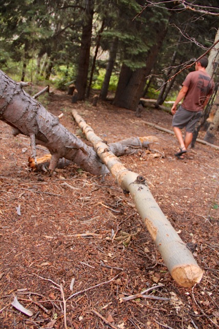
After we had set up. I went scouting around. Hmmm...beavers
IMG_6263.jpeg

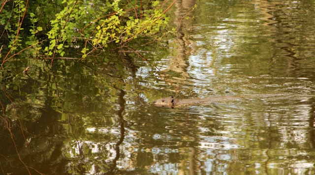
I decided to hike up the stream to see what I could find. I happened upon a dam, and apparently I had been quiet enough to come unnoticed. A beaver swam right across the water at eye level to me and not more than 5 ft away. (Pretty amazing) Eventually I was spotted, but I only took this as a challenge, and circled around the dam about a half mile, hiked down the river, and climbed up the roots on the opposite ledge. My stalking skills payed off and I was able to watch a family of three beavers going about their business for about 45 minutes.
IMG_6283.jpeg

It was a great end to the day (though I was cut and bleeding from the ordeal).
15.jpg
 

McZippie

Walmart Adventure Camper
Mr and Mrs 40tude, we are enjoying your trip report so much, that even with a very sketchy cell phone Internet connection and many attempts to refresh, we didn't give up until receiving the latest update. Well worth the wait, thanks!
 

redear

New member
Day 15 June 27, 2012

I also encountered my first elitist biker, this guy would not move to the side to let us pass for 2 miles. I would be too worried about getting shot to pull a stunt like this.
IMG_6160.jpeg

Dont you know your cousin when you see him? I was mad at you for not visiting us... I hope you told this guy to have a nice day when you passed him.
 

40tude

Adventurer
Mr and Mrs 40tude, we are enjoying your trip report so much, that even with a very sketchy cell phone Internet connection and many attempts to refresh, we didn't give up until receiving the latest update. Well worth the wait, thanks!

After a post like this, I hate to do what is coming next
 

40tude

Adventurer
Dont you know your cousin when you see him? I was mad at you for not visiting us... I hope you told this guy to have a nice day when you passed him.

You would ride around in a poofy jacket, though you probably would have fallen
 

40tude

Adventurer
Day 17 June 29, 2012 Final Dayyyyyy.....

I hate to say it, but this was the last day of the trip. Here we are all packed up and ready to hit the road. You can see the sadness in my body language.
IMG_6459.jpeg

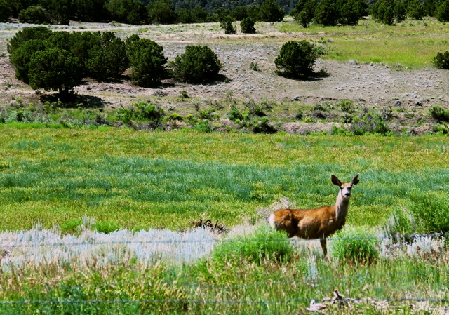
This morning was a great way to end the trip, we got to drive through the forest in low range for around an hour (there were even some minor obstacles) before hitting the highway. Just before striking pavement we had a perfect little endcap for the adventure. We startled this doe and her gorgeous little twins that couldn’t have been more than a few days old.
IMG_6461.jpeg


IMG_6467.jpeg

We filled up the tank, and put on cruise control for another 2000 miles with no stopping and no problems.

I know I can speak for both of us when I say we have nothing but fond memories of our little adventure. The hard work was worth it. Having never been to Utah and then immersing
ourselves in it was very very cool. Maybe I can get Mrs. 40tude to put down a few thoughts on the whole thing later as well.

Things I learned and recommendations:

The Benchmark Maps are WAY better than any others I have looked at. The DeLorme Maps paled in comparison.

This trip would be much better in the spring or fall, but that is not something we could do. It
was still amazing, just hot, and hard to slow down and take a break while the sun was out.

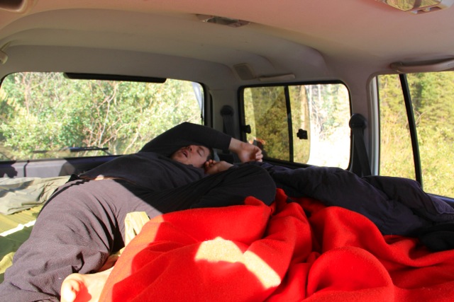
If you are looking for a mattress, this is it the LYCKSELE LÖVÅS, from Ikea. http://www.ikea.com/us/en/catalog/products/60102086/ This was reccomended on a random thread somewhere, but it is perfect. In all honesty I have never slept better.

We carried 3 jerries of water and two for fuel. We never dipped into the second two water containers, but I would carry that much in case of emergency anyhow. We never actually needed a fuel can, but if I were to do it again I would carry at least one. With water and fuel we did fill up whenever it was available.

Maxtrax can be invaluable.

The book 4WD Adventures: Utah by Peter Massey is an excellent resource and companion for doing a Utah Traverse.

We want a roof top tent.

Finally, Utah was way cooler than we dared dream. Thanks for following along and making this interesting.

Now we need to figure out where to go next. Ideas?
 
Last edited:

jessejman

Adventurer
HTML:
Now we need to figure out where to go next. Ideas?

Wyoming, Idaho, Montana and eastern Oregon and make a big silly loop of it.

What a great trip you guys!
 

Forum statistics

Threads
188,182
Messages
2,903,470
Members
229,665
Latest member
SANelson
Top